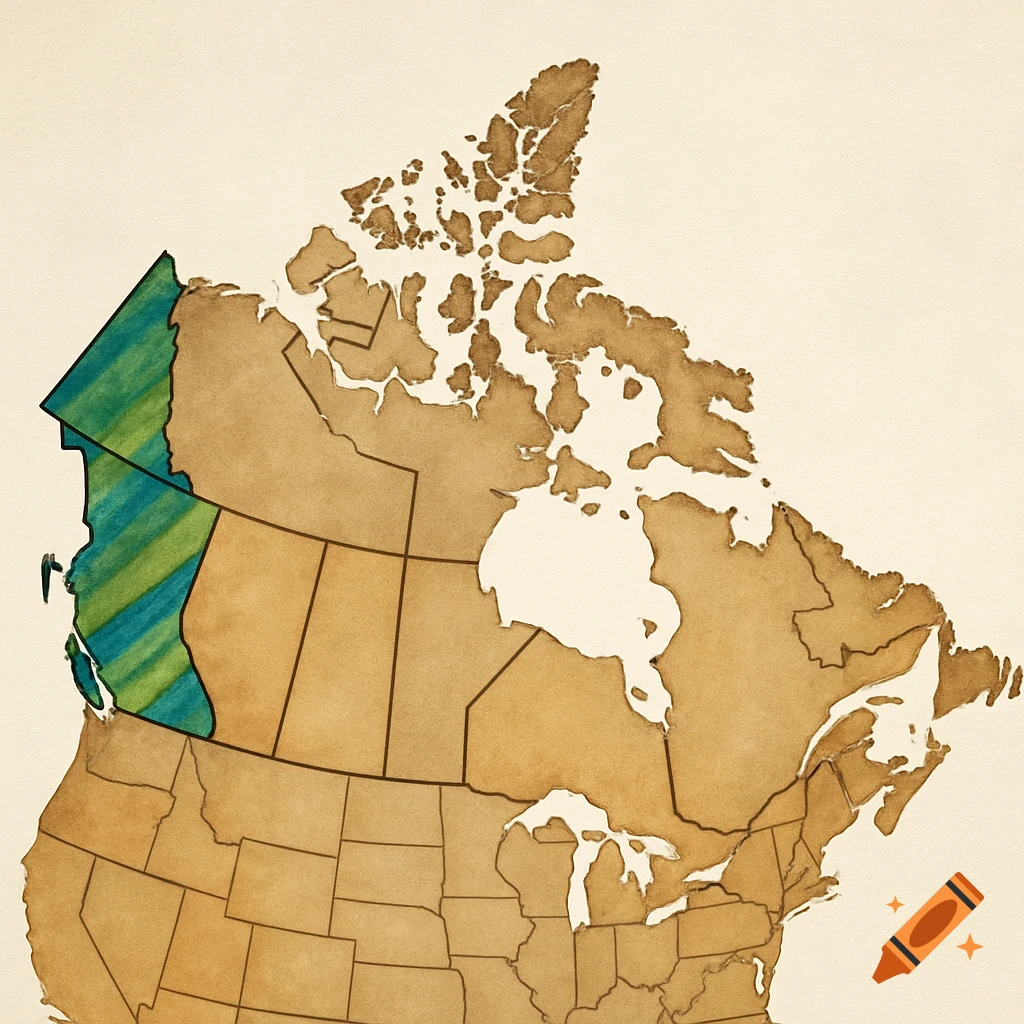
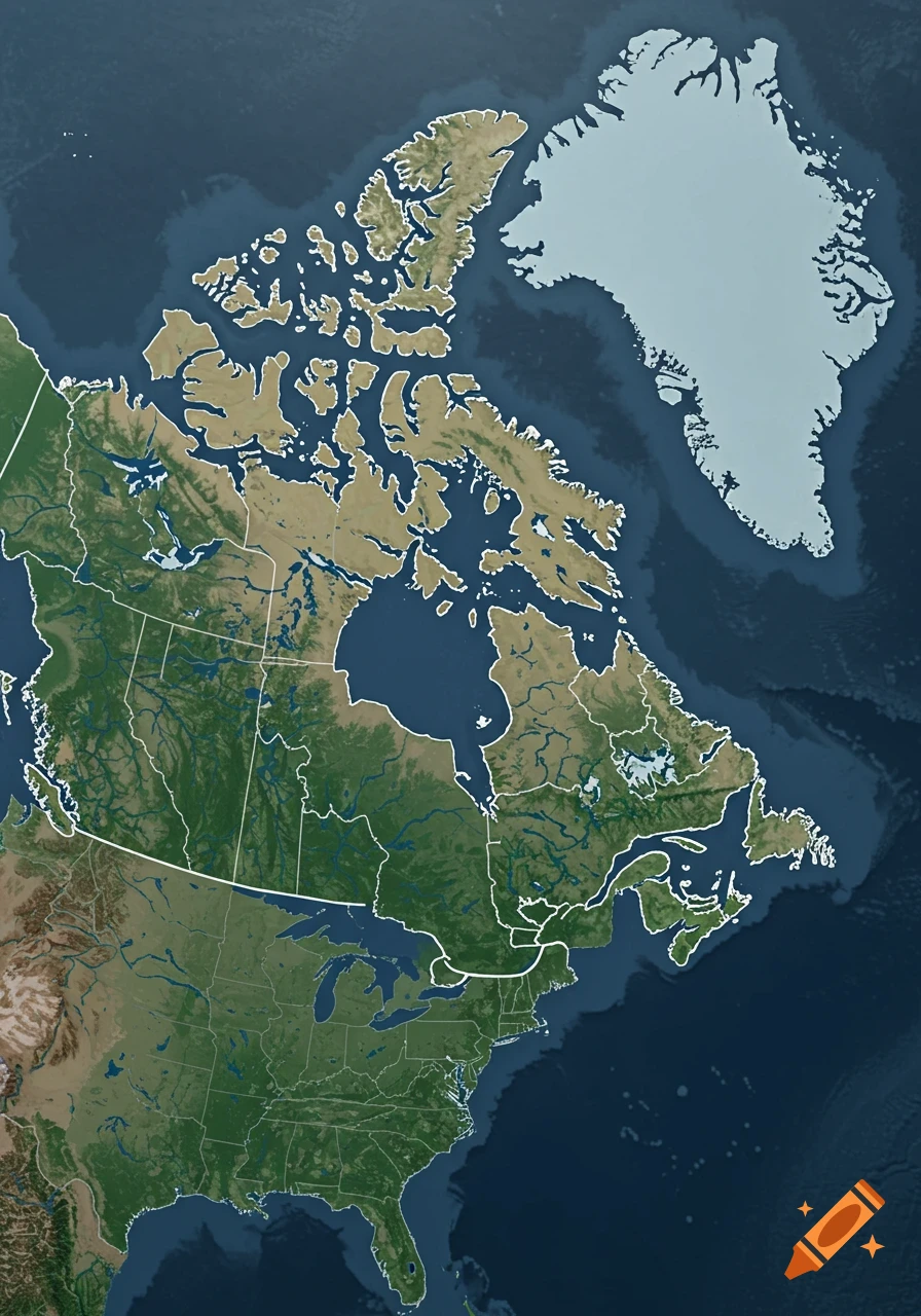
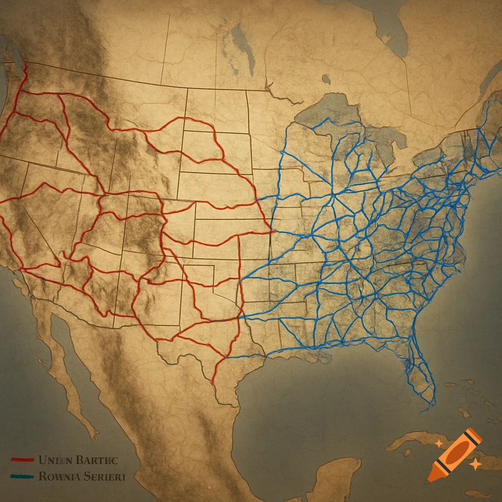
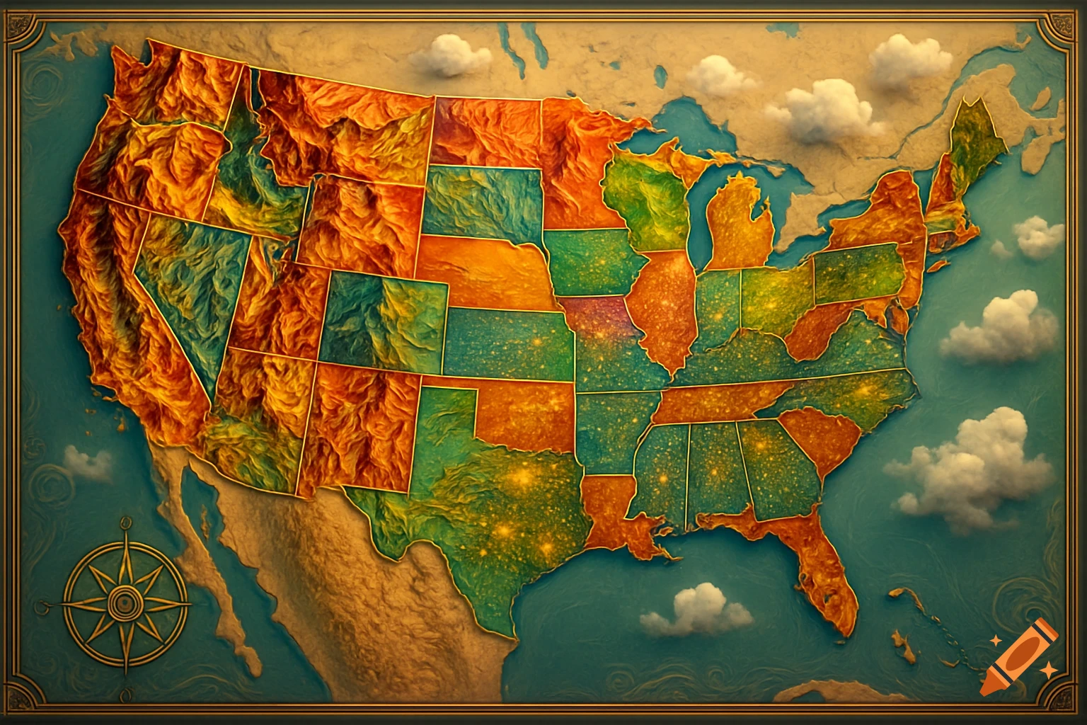
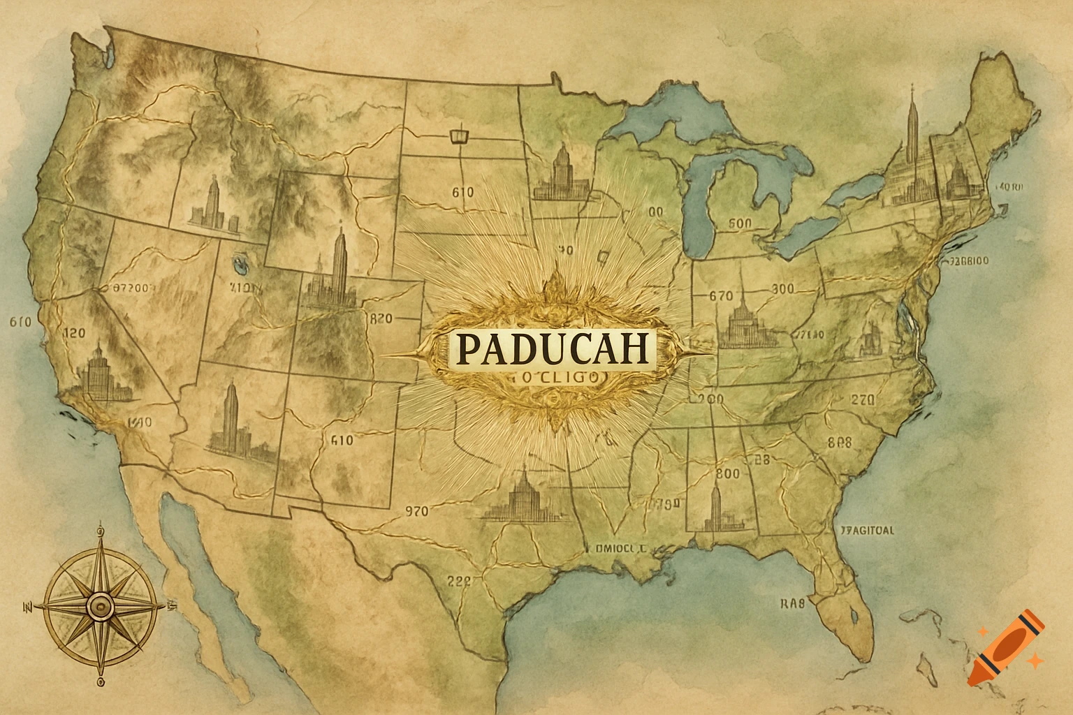
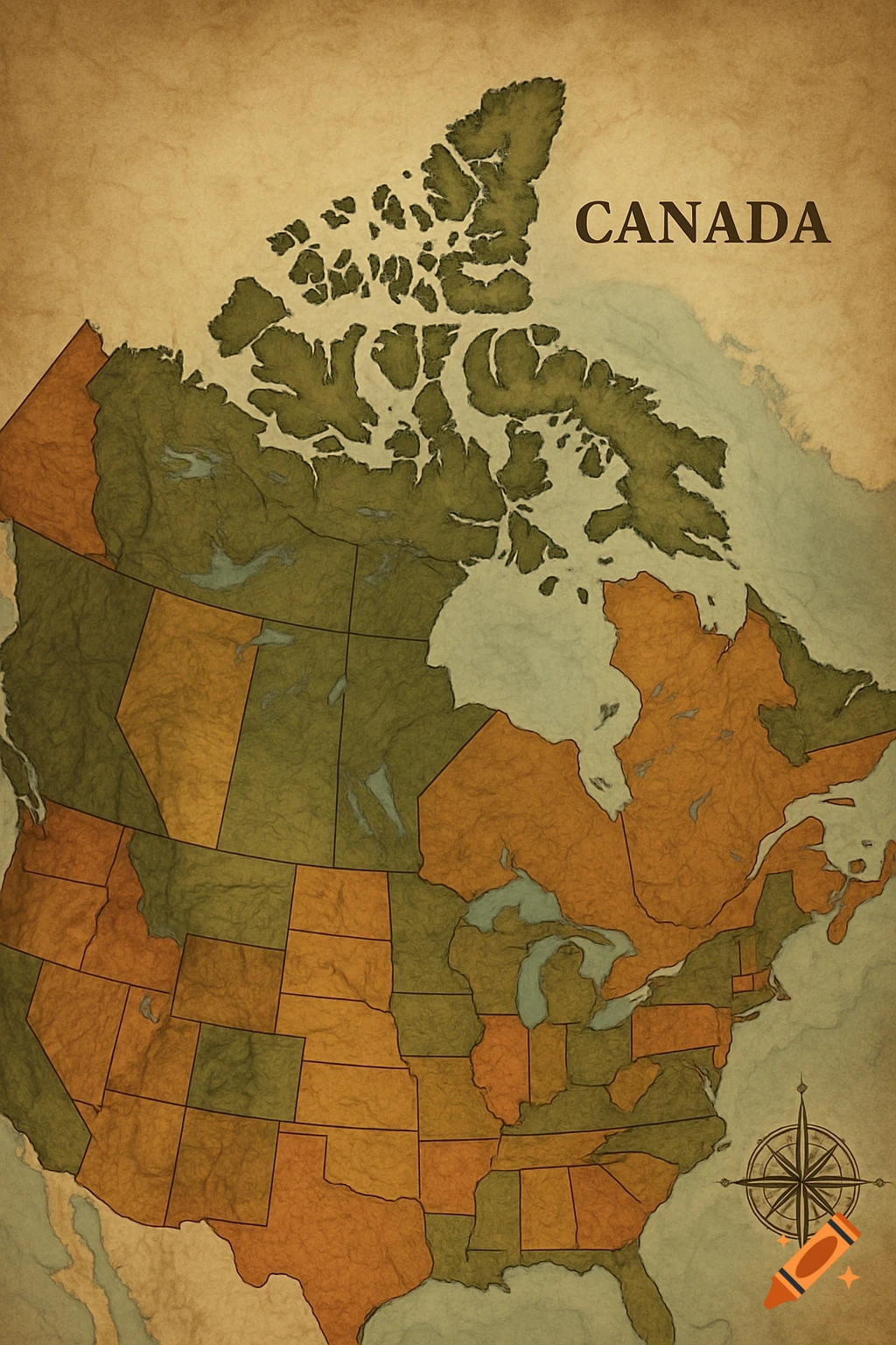
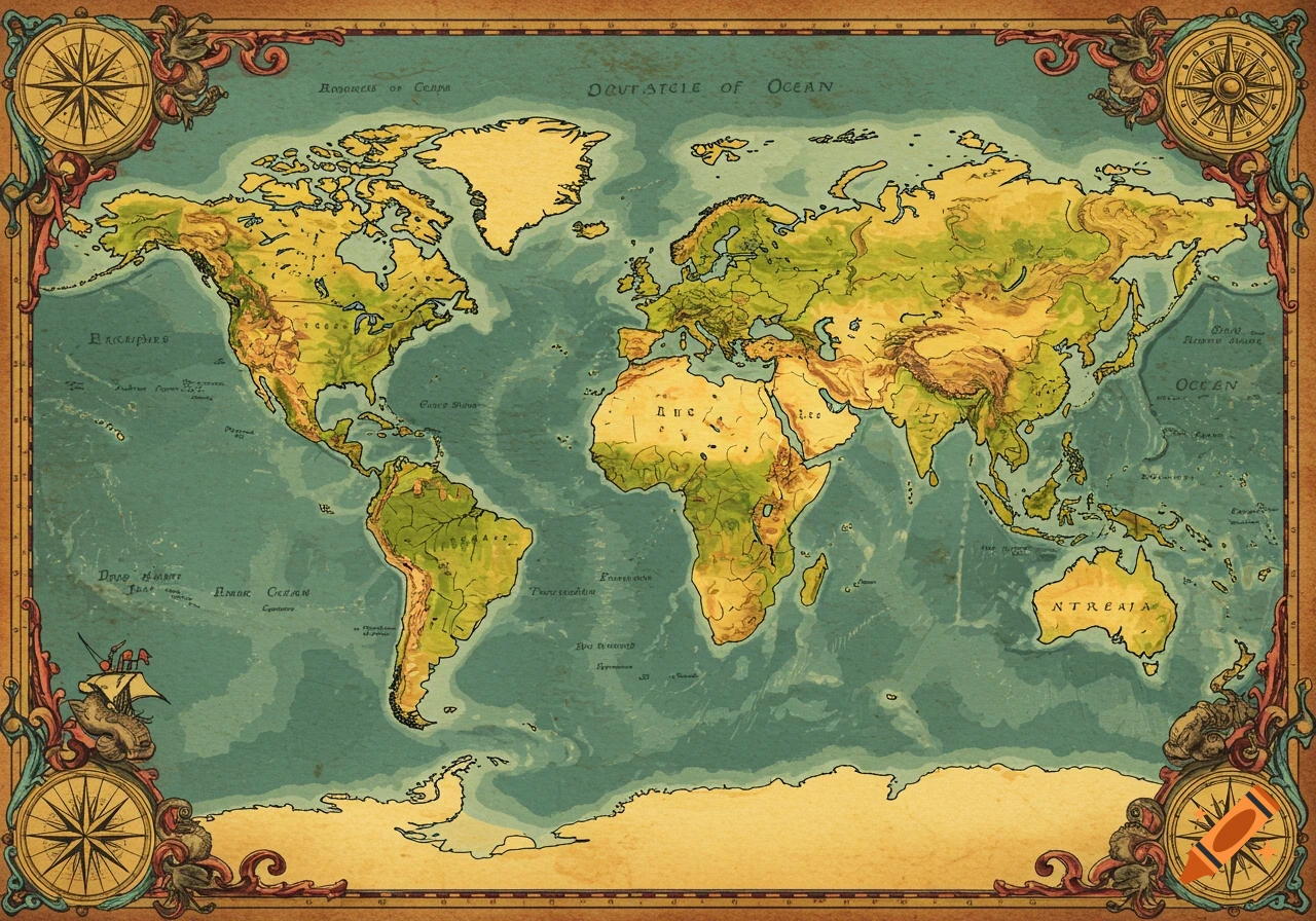
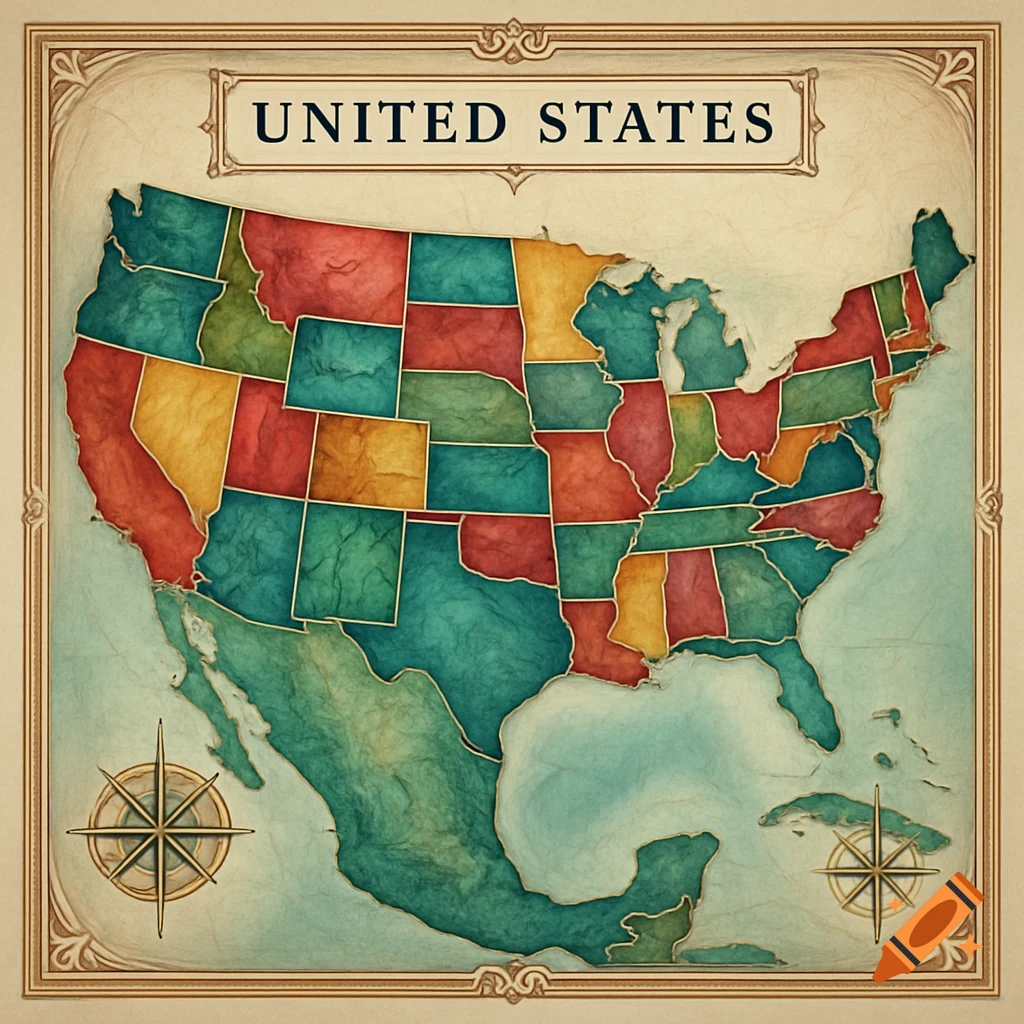
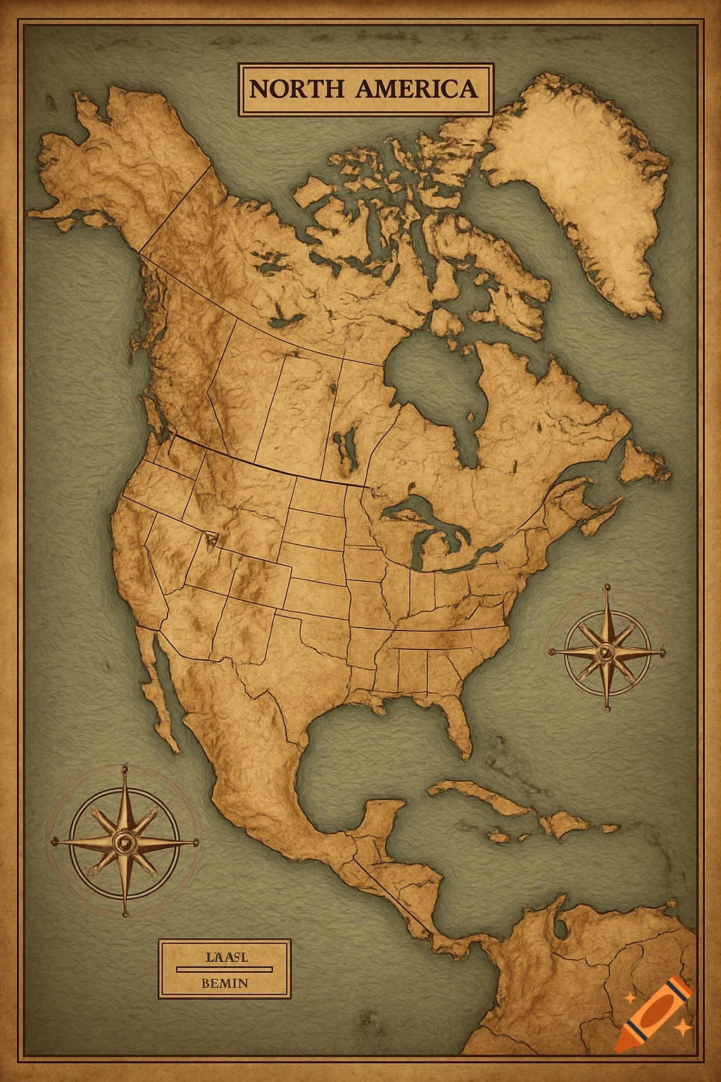
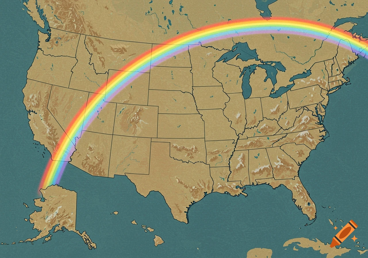
Map of the U.S. during Westward Expansion with a compass rose
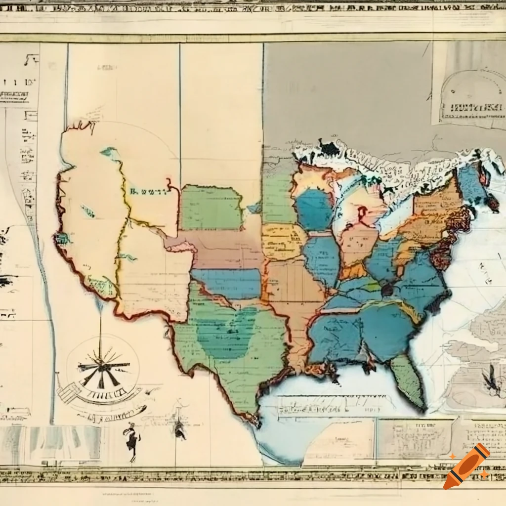
We are going to draw large maps of the U.S. during Westward Expansion. 1. Draw an outline of the U.S. coast to coast. Do not include Alaska or Hawaii. 2. Draw a compass rose in the bottom right corner. Include the following TerritoriesLinks to an external site. a. Treaty of Paris (1783) b. Louisiana Purchase (1803) c. Texas Annexation (1845) d. Oregon Country (1846) e. Mexican Cession (1848) f. Florida (1819) Include the following riversLinks to an external site. a. Mississippi b. Missouri c Mehr sehen
More images like this