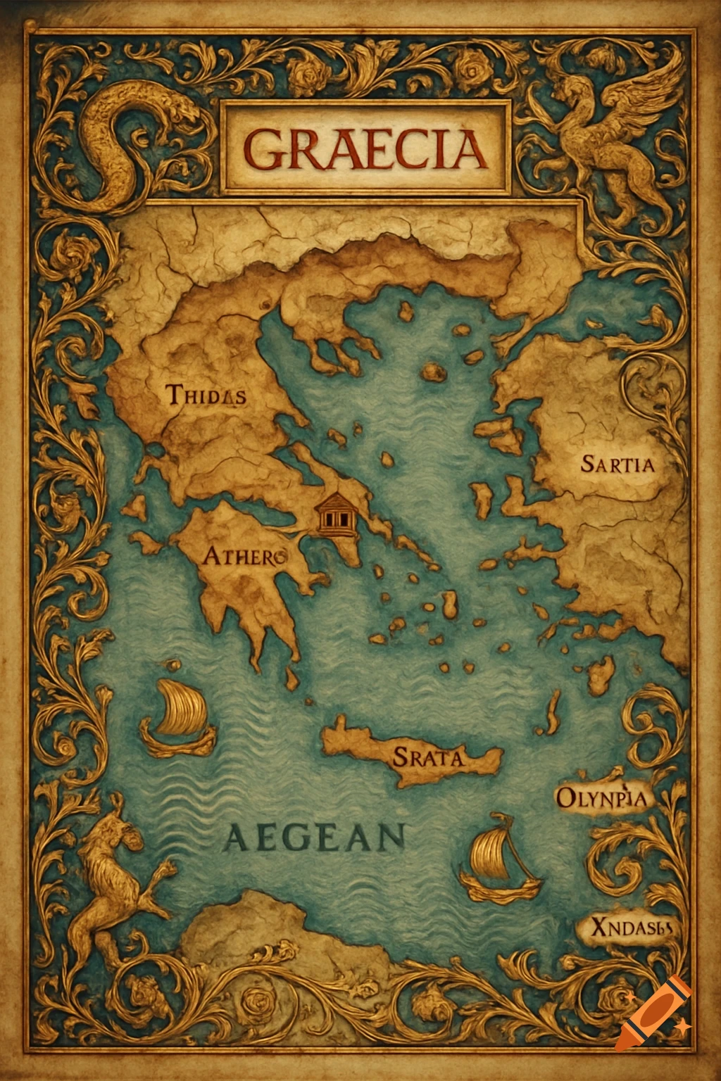
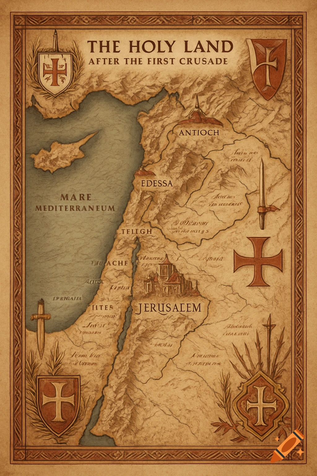
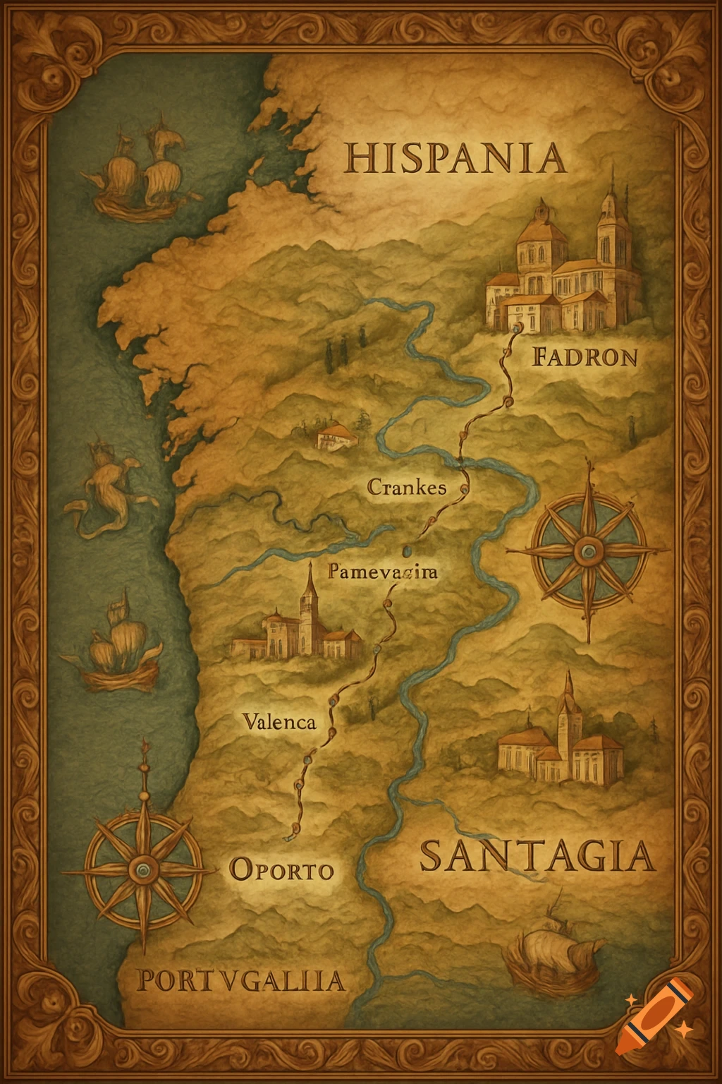
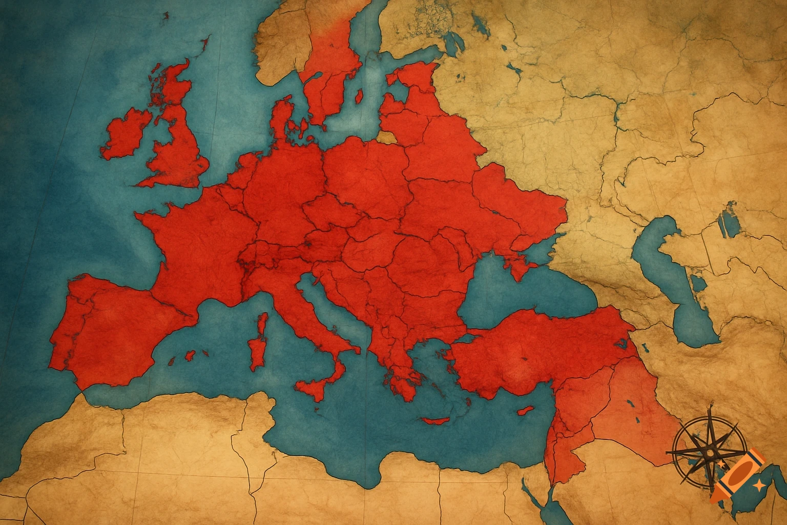
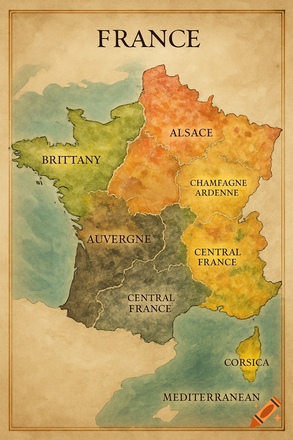
Vintage style historical map of the Eastern Mediterranean showing travel routes with numbered markers and a legend in the corner.

A clean, highly legible historical map of the Eastern Mediterranean basin, designed in a detailed vintage infographic style. The map spans from Syracuse in the west to Babylon in the east, and down to Memphis in Egypt. It shows coastlines, ancient regions, and distinct travel routes. The map is centered on Athens, which is highlighted with a large, prominent ancient Greek column symbol.Graphically trace the following travel routes using different solid colors for each itinerary, adding small directional arrows for movement and matching colored numbered circles for each route (no routes for stories set only in Athens):Route 3: Athens to Delphi and Kirra.Route 4: Athens to Delos, Mykonos, Naxos, Rhodes, Halicarnasso, and back to Athens.Route 7: Athens to Eleusis.Route 8: Athens to Memphis (Egypt).Route 9: Athens to Hydra Island.Route 10: Athens to Babylon.Route 11: Athens to Syracuse (Sicily).Route 12: Athens to Philippi (Macedonia).Do not add any other locations or cities outside of this list.Map Lettering and Text Layout:At the top center, in a small elegant font: "Aristotele Detective". Directly below it, in a slightly larger, bold font: "I Viaggi di Aristotele e Stefanos".In the bottom-left corner, there is a stylized vintage legend box. The box is titled "I luoghi dei romanzi" and lists each volume number (1 to 12) with its respective book title and the specific travel route text written directly underneath it. Clean design, historical book illustration aesthetic. Ver mais
More images like this