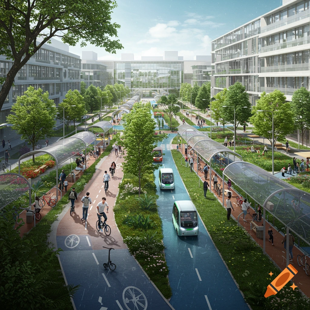
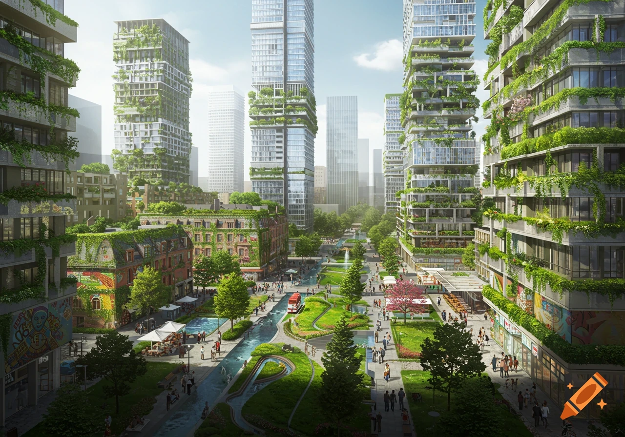
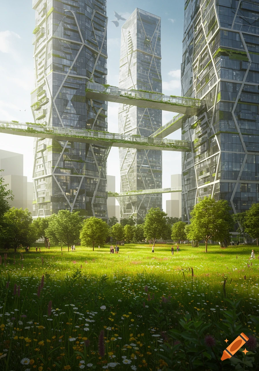
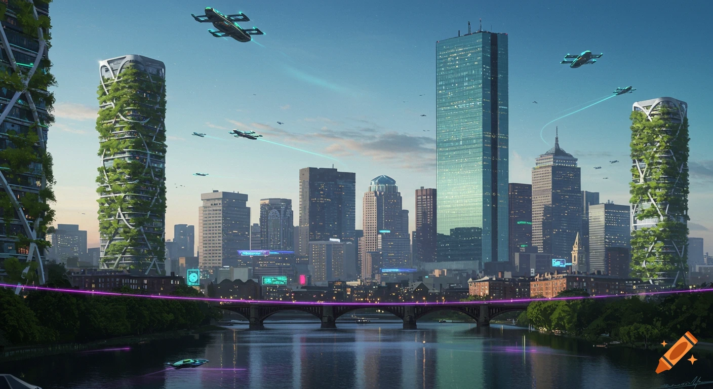
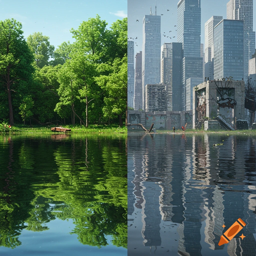
Photorealistic aerial, top-down view of a modern city with skyscrapers, a winding river, complex road networks, and green parks.

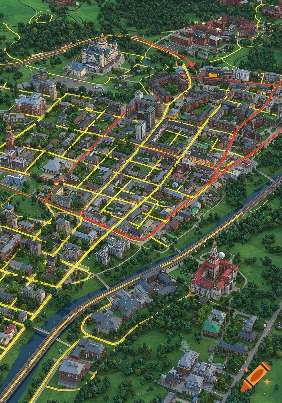
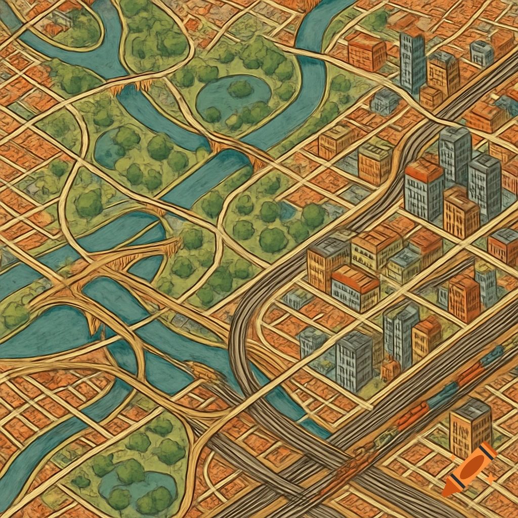
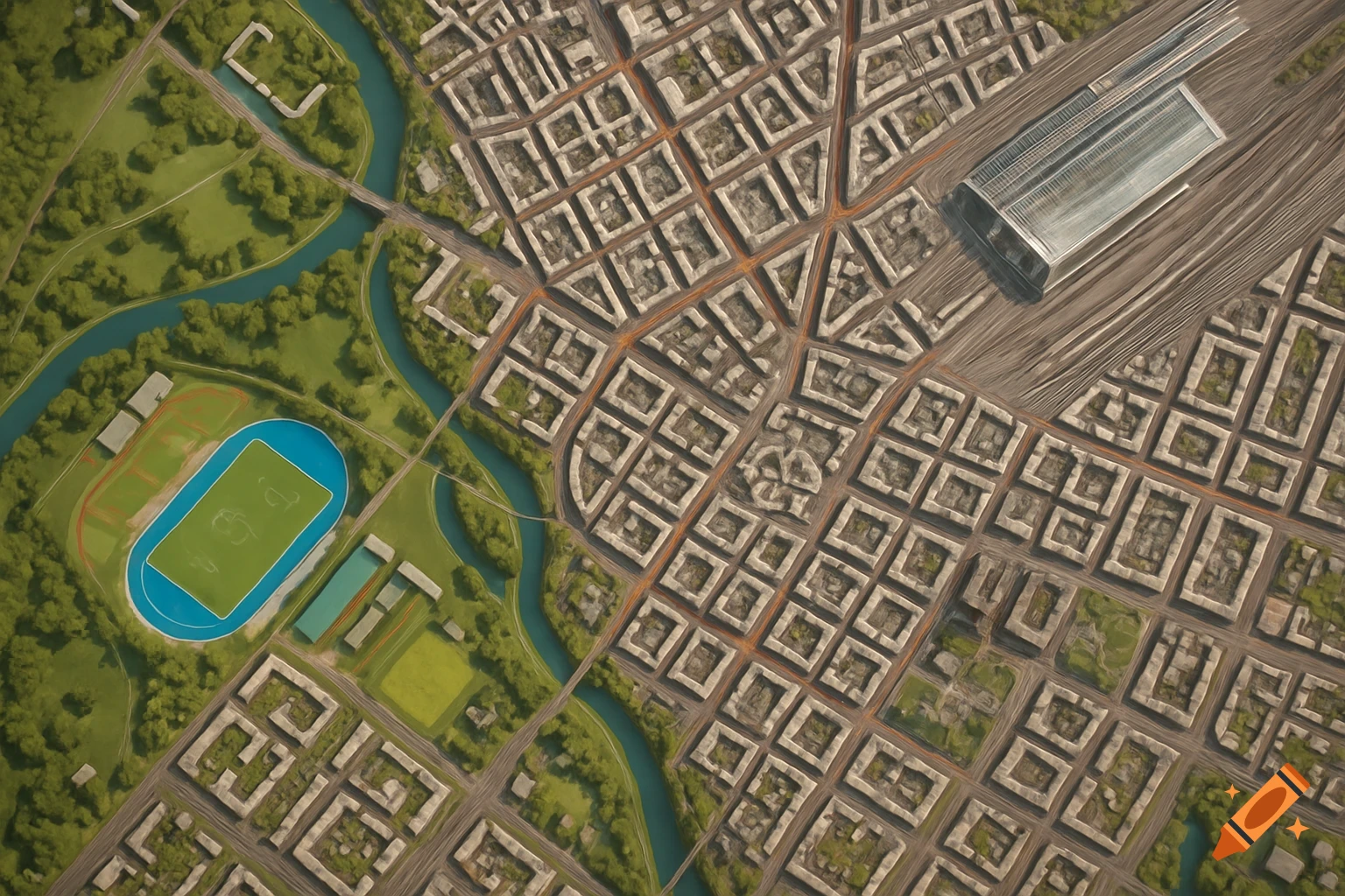
Strictly top-down aerial view, looking straight down from directly above at a 90-degree angle (bird's-eye / nadir perspective), orthographic satellite map view of a modern city, photorealistic, map-like clarity. No horizon, no sky, no tilt — the camera points straight down at the ground. Focus on a clear, well-defined road network with crisp, high-contrast streets that are easy to distinguish from buildings. Modern organic city layout — not a plain rectangular grid: streets curve and branch naturally, radial avenues, diagonal boulevards, irregular blocks. A large, expansive downtown core covering a big central area of the image, densely packed with many buildings — numerous glass skyscrapers and high-rise towers seen from directly above, tightly clustered, surrounded by a wide zone of mid-rise office blocks, apartment buildings and plazas. The central business district should dominate the scene with a high density of structures. Inside the city: a hierarchy of roads — wide multi-lane main avenues and smaller side streets weaving between building outlines. A river through the city crossed by several bridges, with one road tunnel passing under a hill. An urban highway (elevated city expressway) cutting through the city with interchanges, connecting to a larger motorway in the surrounding countryside. Distinct industrial zone with large warehouses, factories and parking lots on one edge. Several green parks with trees, paths and ponds scattered through the city. Toward the Ver mais
More images like this