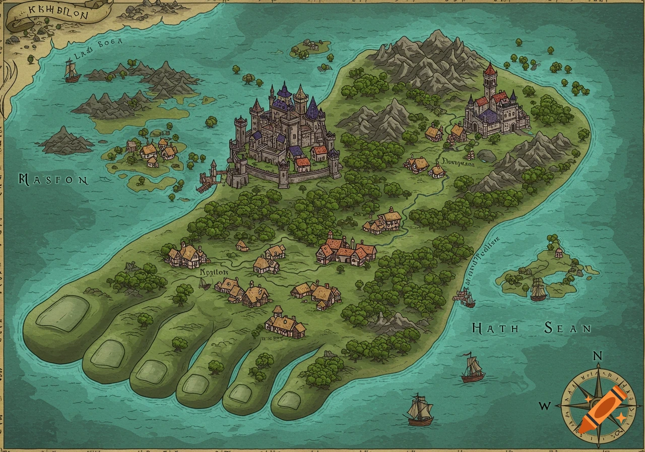
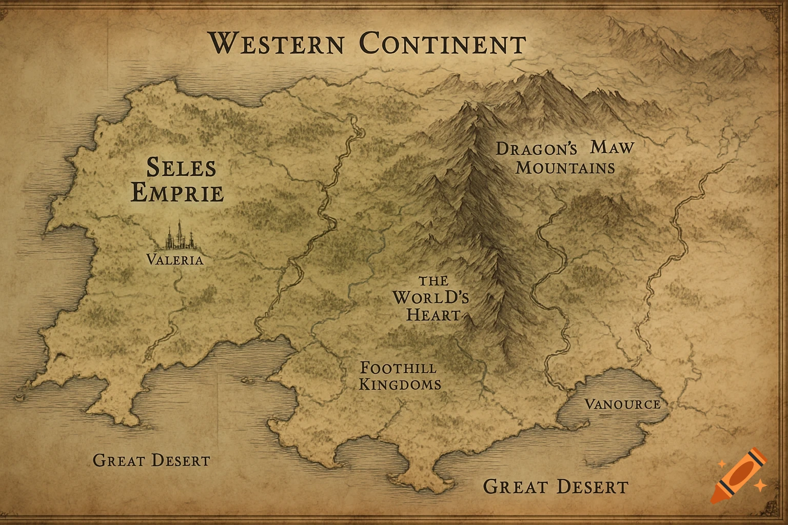
An aged parchment-style fantasy map of Tamriel with hand-drawn coastlines and mountains, and digital labels for regions like Skyrim, Cyrodiil, and Morrowind, featuring a compass rose and ornate cartouche.

Create a high‑resolution fantasy map of Tamriel in a hybrid style combining aged parchment texture with clean, modern digital labels. The map should look like an Elder Scrolls in‑universe atlas page. STYLE & TEXTURE Aged parchment background Subtle burn marks and frayed edges Faded ink in some areas Hand‑drawn coastlines and mountain silhouettes Clean digital labels layered on top Soft sepia color palette Decorative compass rose in the lower left Ornate cartouche in the upper right reading: “Tamriel — The Continent of Man and Mer” GEOGRAPHY (ACCURATE TAMRIEL LAYOUT) Include all major provinces with clear borders: Skyrim (north) High Rock (northwest) Hammerfell (west) Cyrodiil (center) Morrowind (northeast) Black Marsh (southeast) Elsweyr (south) Valenwood (southwest) Summerset Isles (far southwest, two main islands) Also include: Solstheim (north of Morrowind) Roscrea (far north, Sea of Ghosts) Atmora (upper edge of map, partially shown) Pyandonea (optional faint silhouette far south) LABELING Use clean, readable serif font for province names: Skyrim High Rock Hammerfell Cyrodiil Morrowind Black Marsh Elsweyr Valenwood Summerset Isles Use smaller labels for: Solstheim Roscrea Atmora CARTOGRAPHIC DETAILS Mountain ranges drawn with hand‑inked style Major rivers lightly sketched Coastlines slightly darker ink No mod labels — this is a pure lore map No color coding — parchment + ink only Decorative border frame around the map OVERALL FEEL The final image should look like: A Ver mais
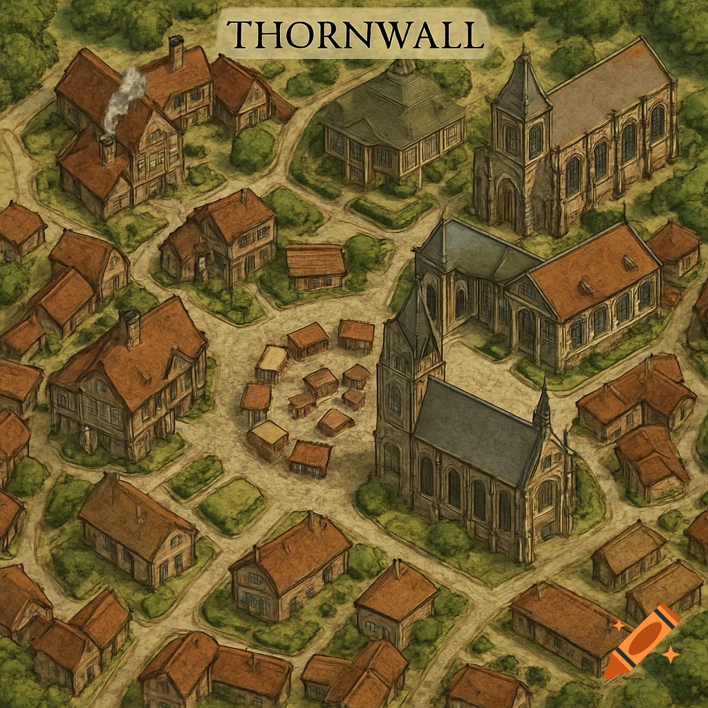
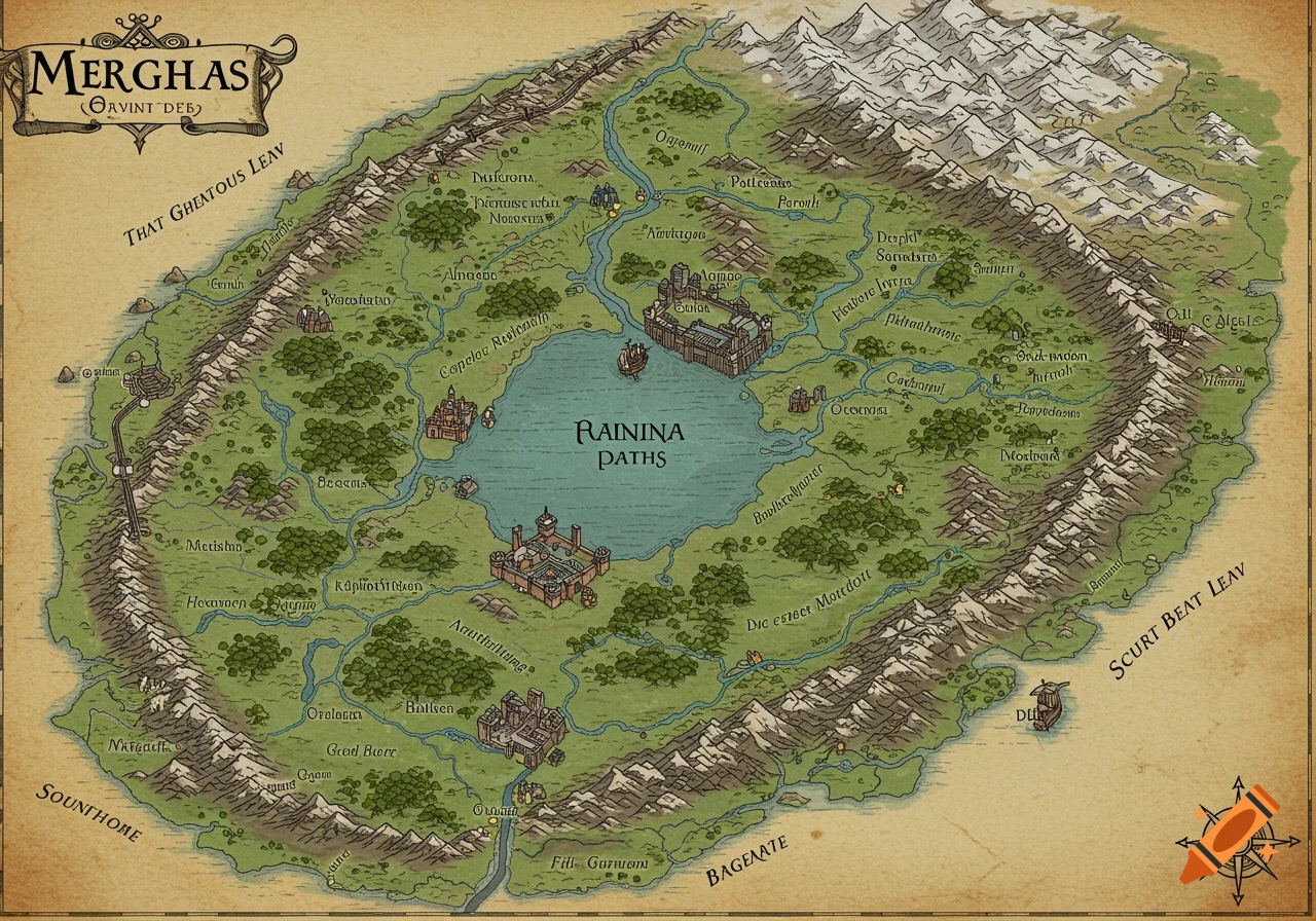
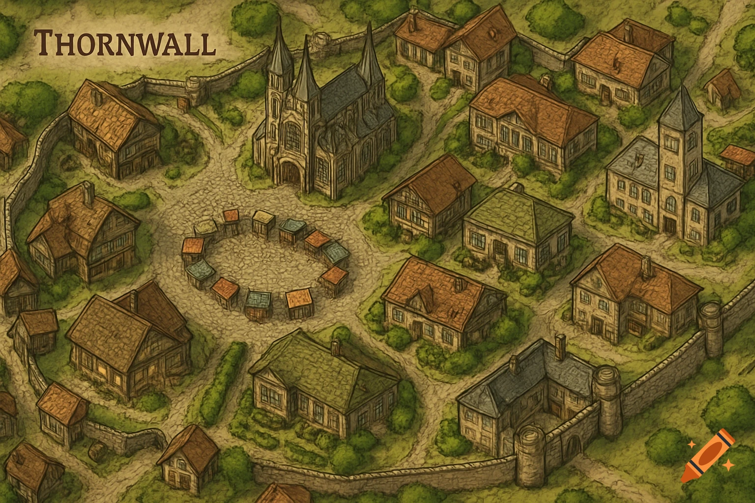
More images like this