


'%3e%3cpath%20d='M12%2020.3333C16.6024%2020.3333%2020.3333%2016.6024%2020.3333%2012C20.3333%207.39762%2016.6024%203.66666%2012%203.66666C7.39763%203.66666%203.66667%207.39762%203.66667%2012C3.66667%2016.6024%207.39763%2020.3333%2012%2020.3333Z'%20stroke='%23F2F2F2'%20stroke-width='2.08333'%20stroke-linecap='round'%20stroke-linejoin='round'/%3e%3cpath%20d='M8.66667%2013.6667C8.66667%2013.6667%209.91667%2015.3333%2012%2015.3333C14.0833%2015.3333%2015.3333%2013.6667%2015.3333%2013.6667'%20stroke='%23F2F2F2'%20stroke-width='2.08333'%20stroke-linecap='round'%20stroke-linejoin='round'/%3e%3cpath%20d='M9.5%209.5H9.50833'%20stroke='%23F2F2F2'%20stroke-width='2.08333'%20stroke-linecap='round'%20stroke-linejoin='round'/%3e%3cpath%20d='M14.5%209.5H14.5083'%20stroke='%23F2F2F2'%20stroke-width='2.08333'%20stroke-linecap='round'%20stroke-linejoin='round'/%3e%3c/g%3e%3cdefs%3e%3cclipPath%20id='clip0_10282_1064'%3e%3crect%20width='20'%20height='20'%20fill='white'%20transform='translate(2%202)'/%3e%3c/clipPath%3e%3c/defs%3e%3c/svg%3e)


Hand-drawn parchment style fantasy map with mountains, forests, a river, and labeled locations.
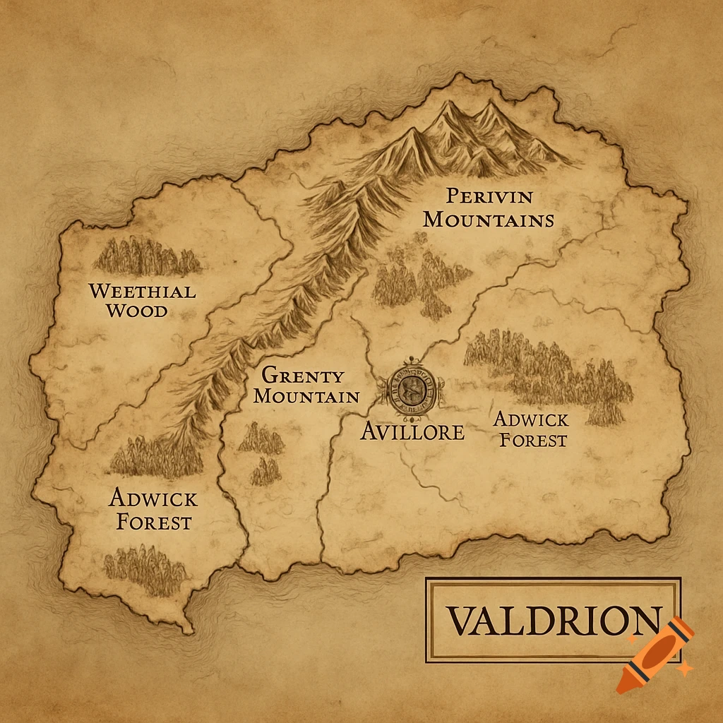
Can you create a map using the following information: 🗺️ Fantasy Map Commission Brief for the World of Valdrion Map Style & Size Continent Name: Valdrion Map Shape: Wide rather than tall, roughly half the size of the continental U.S., but not resembling the U.S. outline—no Florida-like peninsulas, Baja California shapes, or overly familiar coastlines. Visual Style: Parchment-style, hand-drawn fantasy map. Include coastlines, mountains, forests, rivers, major cities, and named regions. Edges: North and south edges should fade off or end before the full landmass is shown—implying undiscovered or unmapped regions. Faint coastlines/hints of unknown lands to the east and west are welcome but should not be named or detailed. 🌍 Geographical Overview Avillore – The capital city, surrounded by a wall. Centralish to the continent, positioned roughly where western Tennessee would be. Located along the Belrac River. Adwick Forest – Large, lush forest located southwest of Avillore but within a half days walk or few hours ride. Grenin Mountains – A diagonal mountain range beginning in the northwest (think Minnesota) and running southeast through regions comparable to Iowa, Nebraska, Kansas, and northern Oklahoma/Texas. Westphal Wood sits at the northern start of the Grenin Mountains. Perivin Mountains – Located far north, comparable to the Canadian Rockies. Deadmaw Forest lies within or near these mountains. Belrac River – A major river that flows from the mountains, through Avillore, Ver mais
Mais imagens como esta
