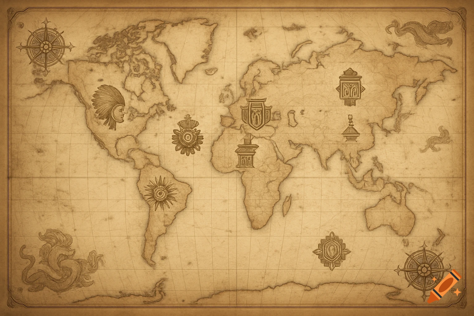
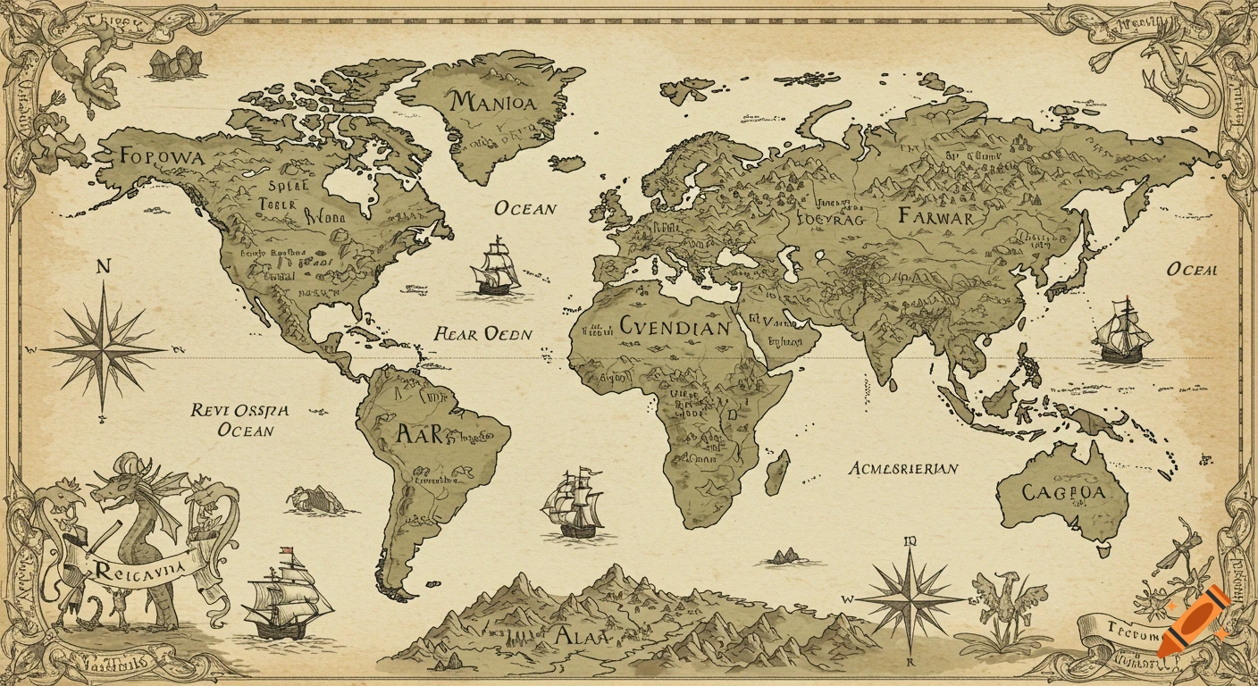
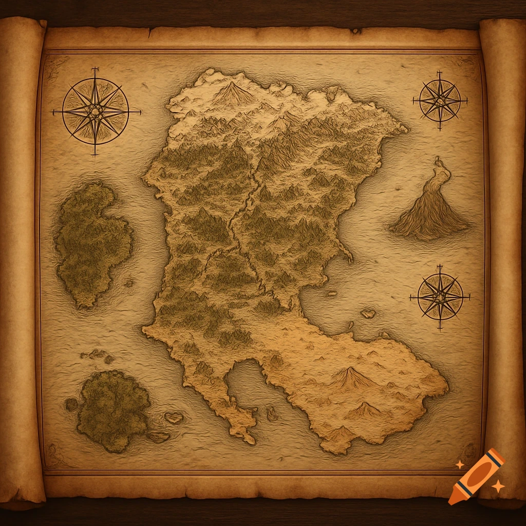
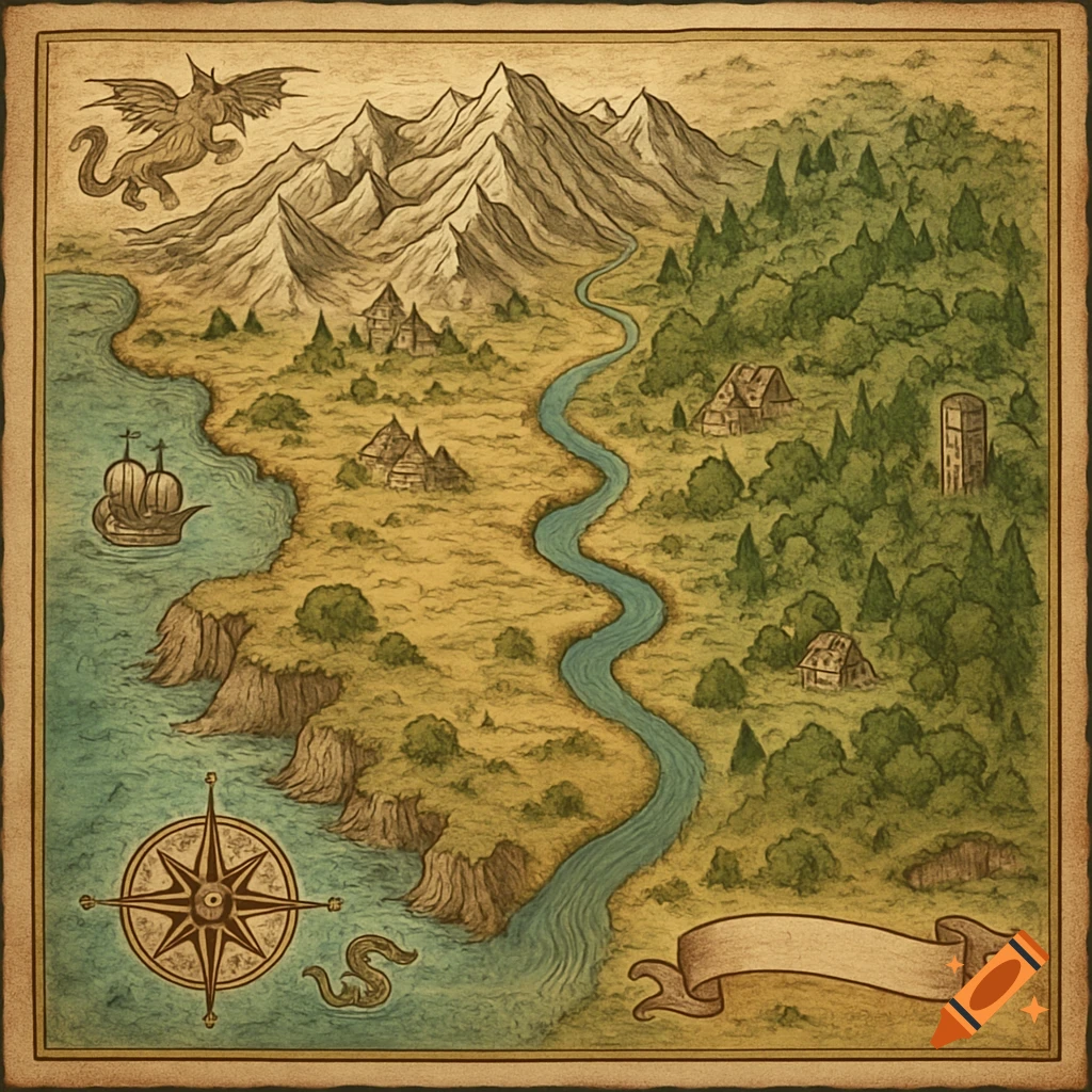
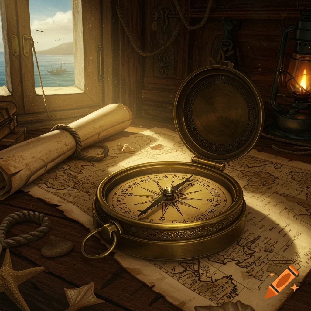
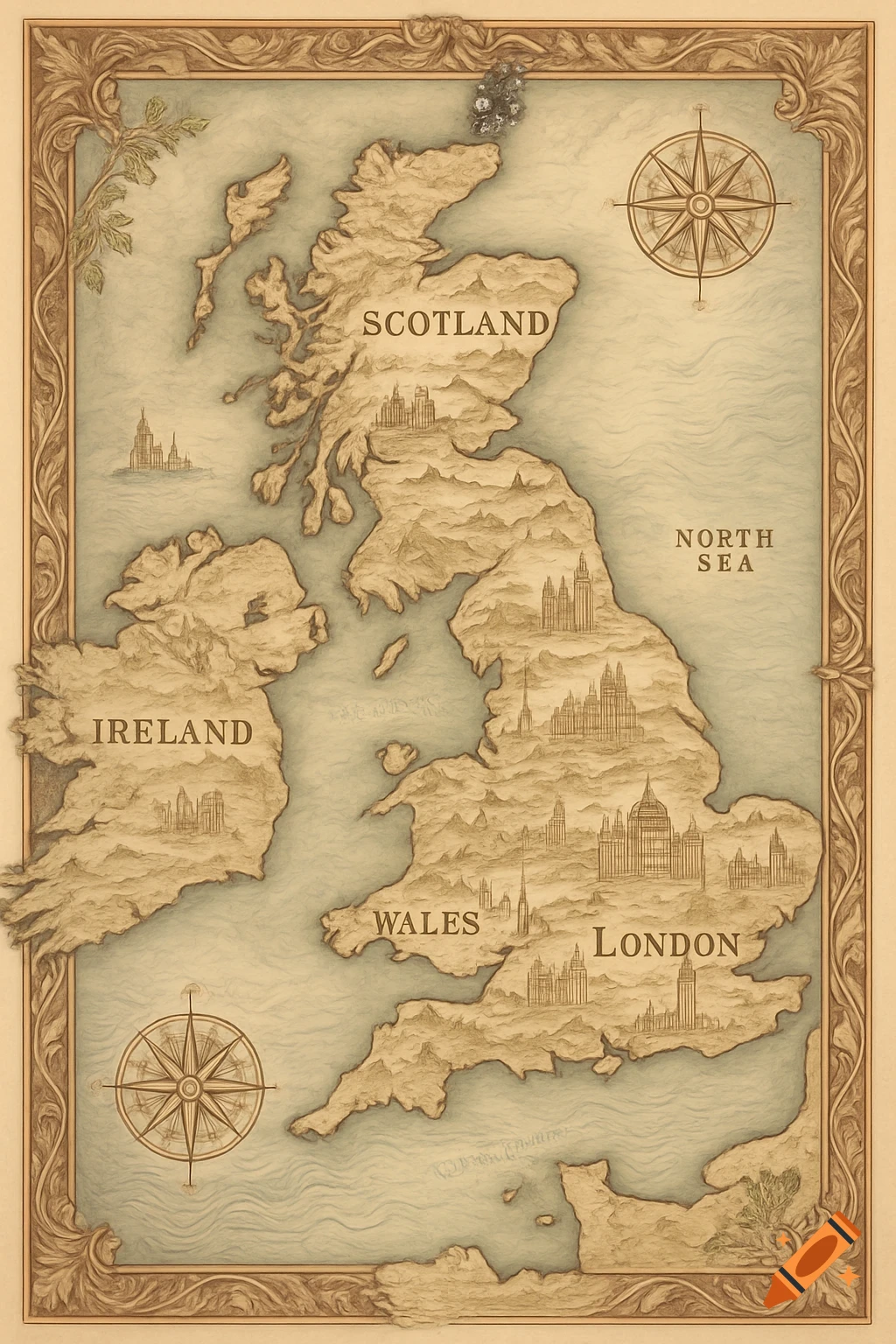
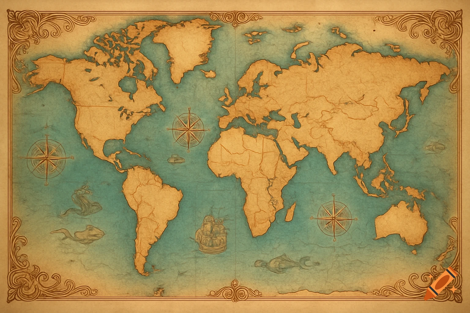
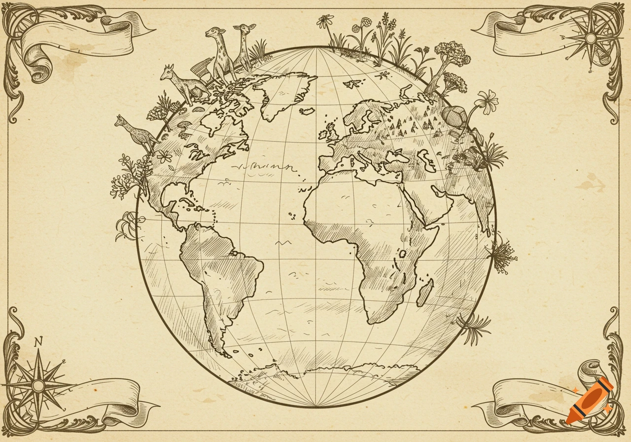
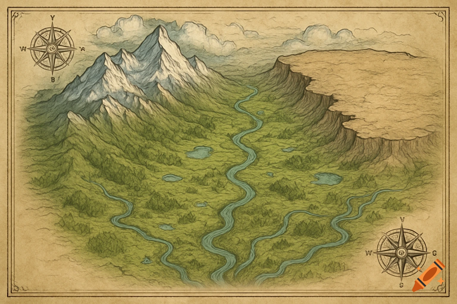
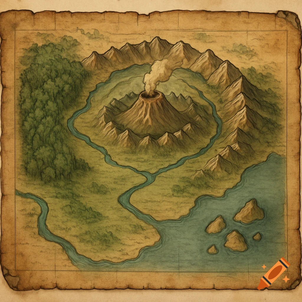
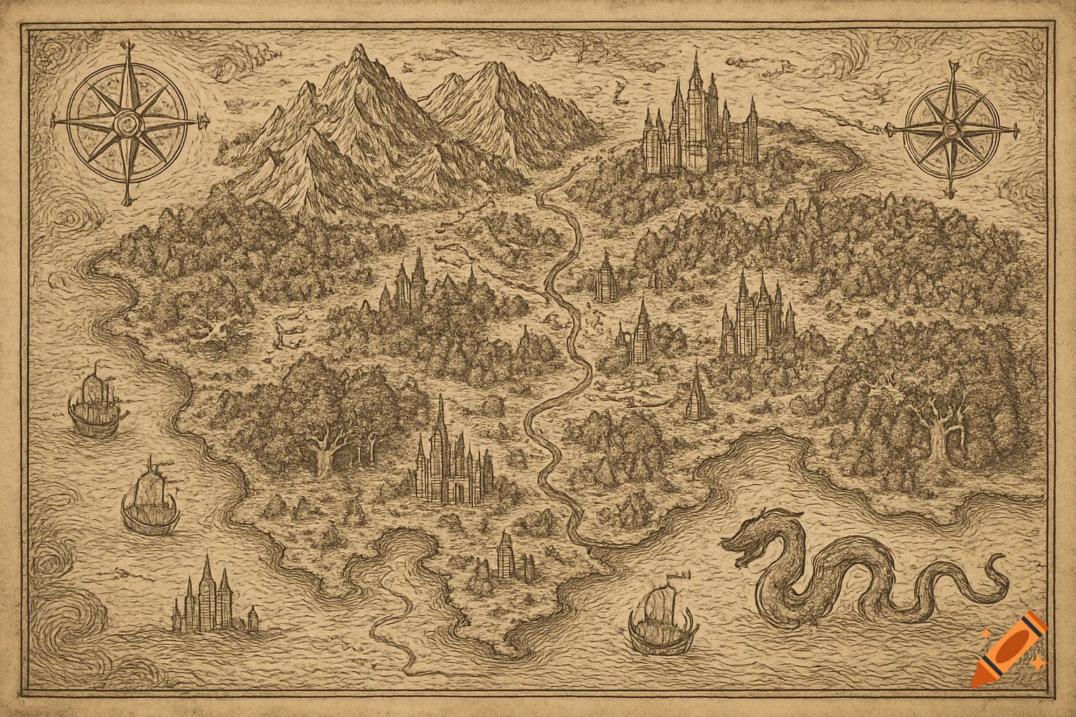
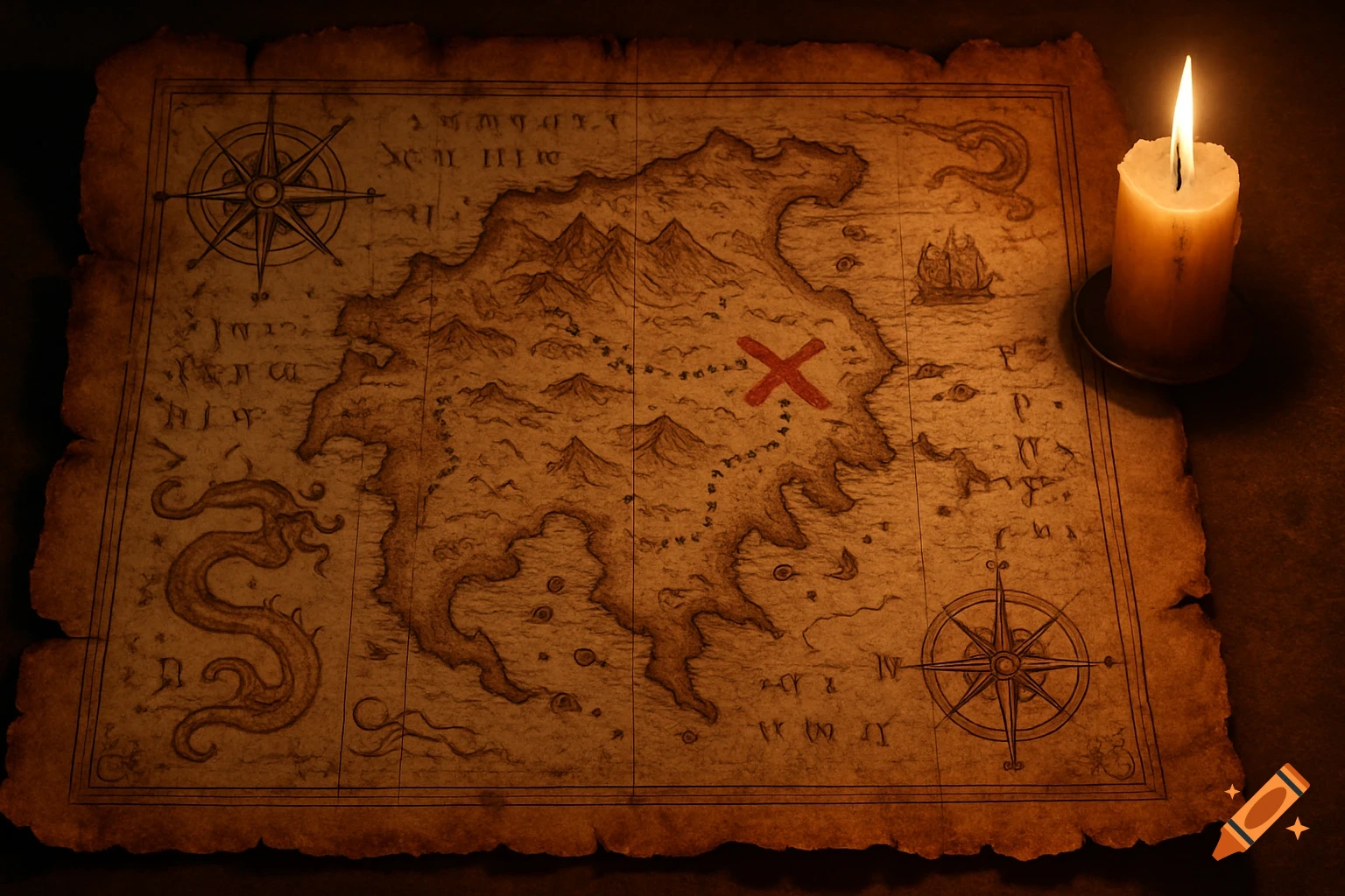
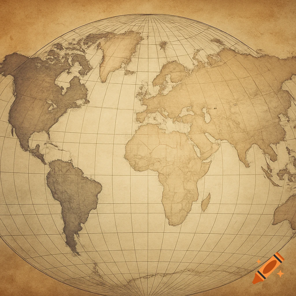
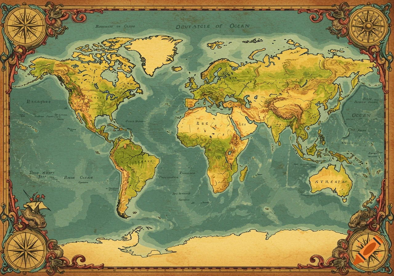
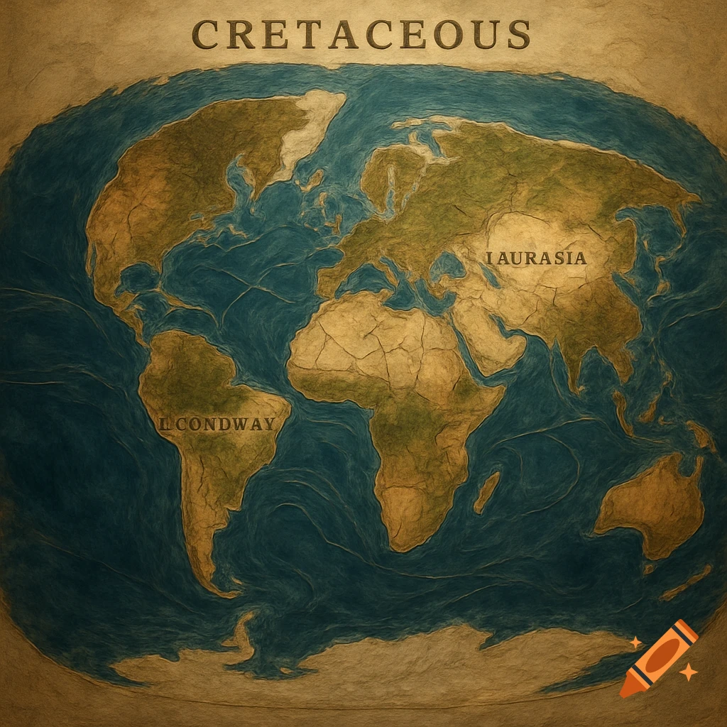
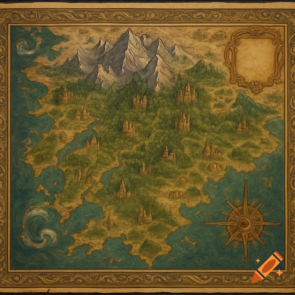
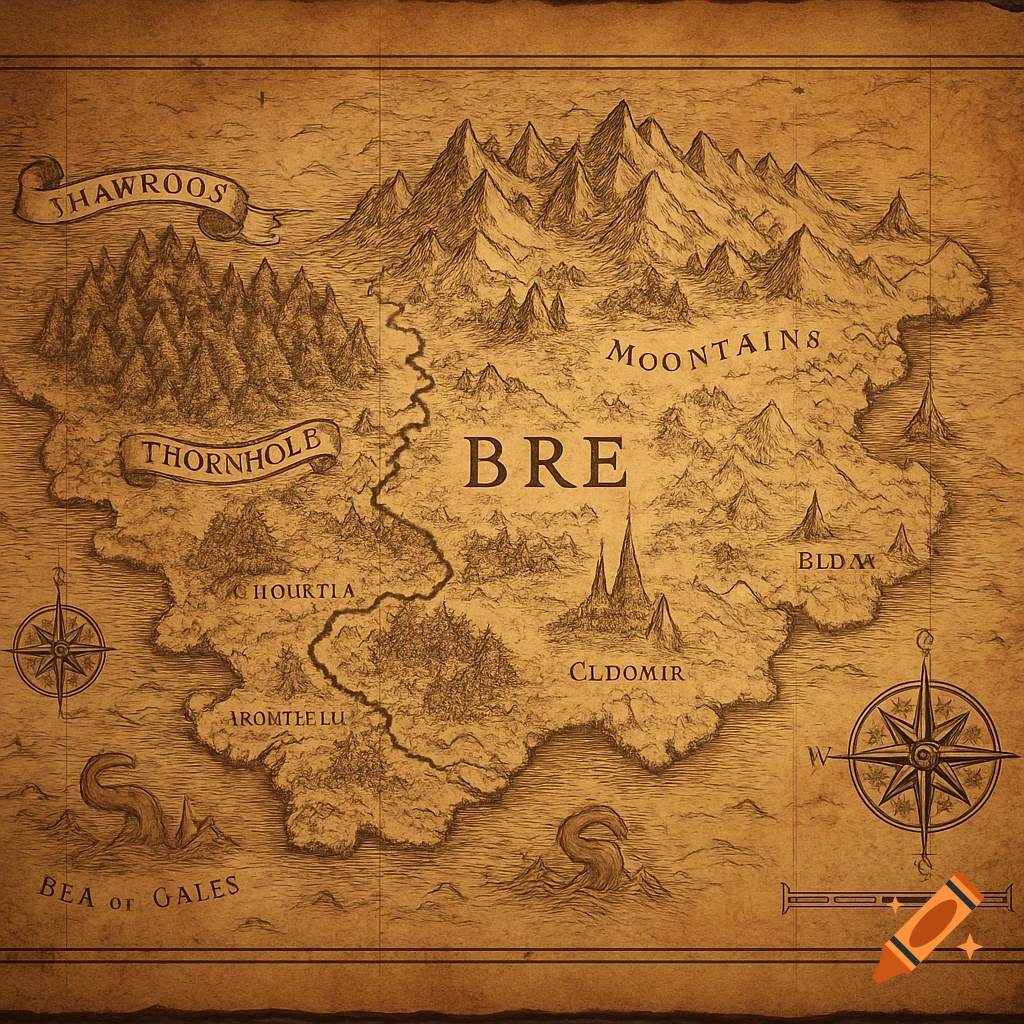
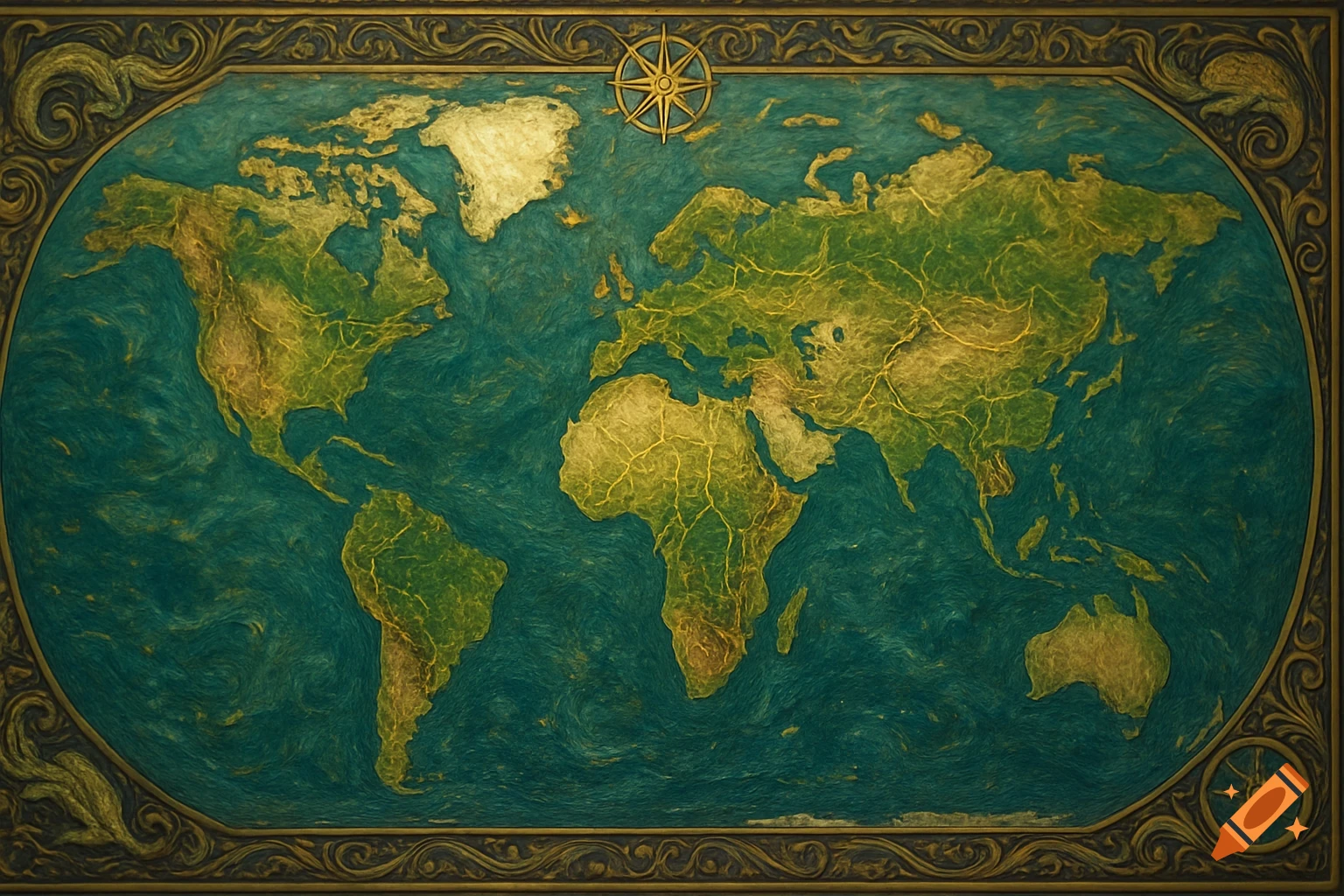
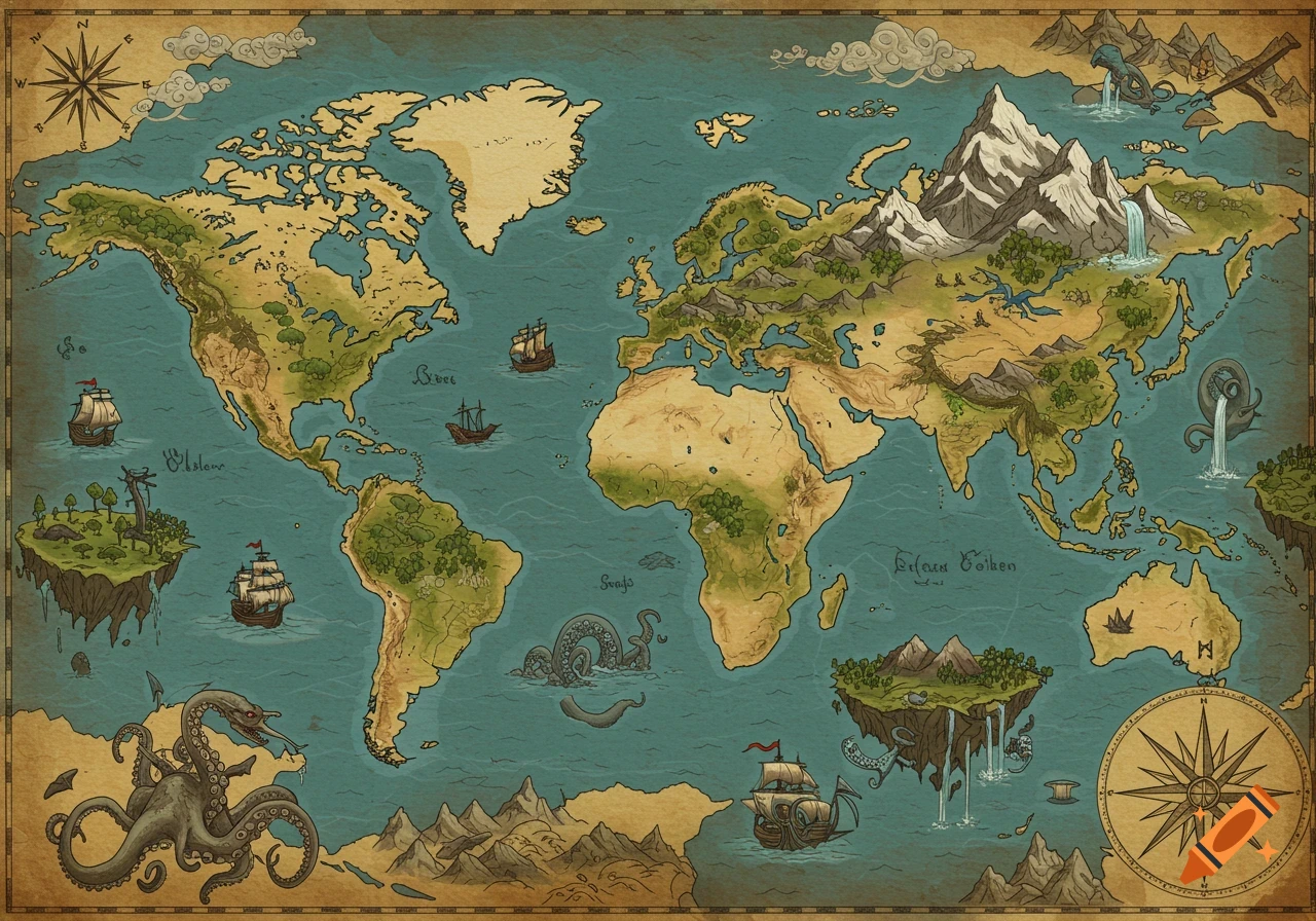
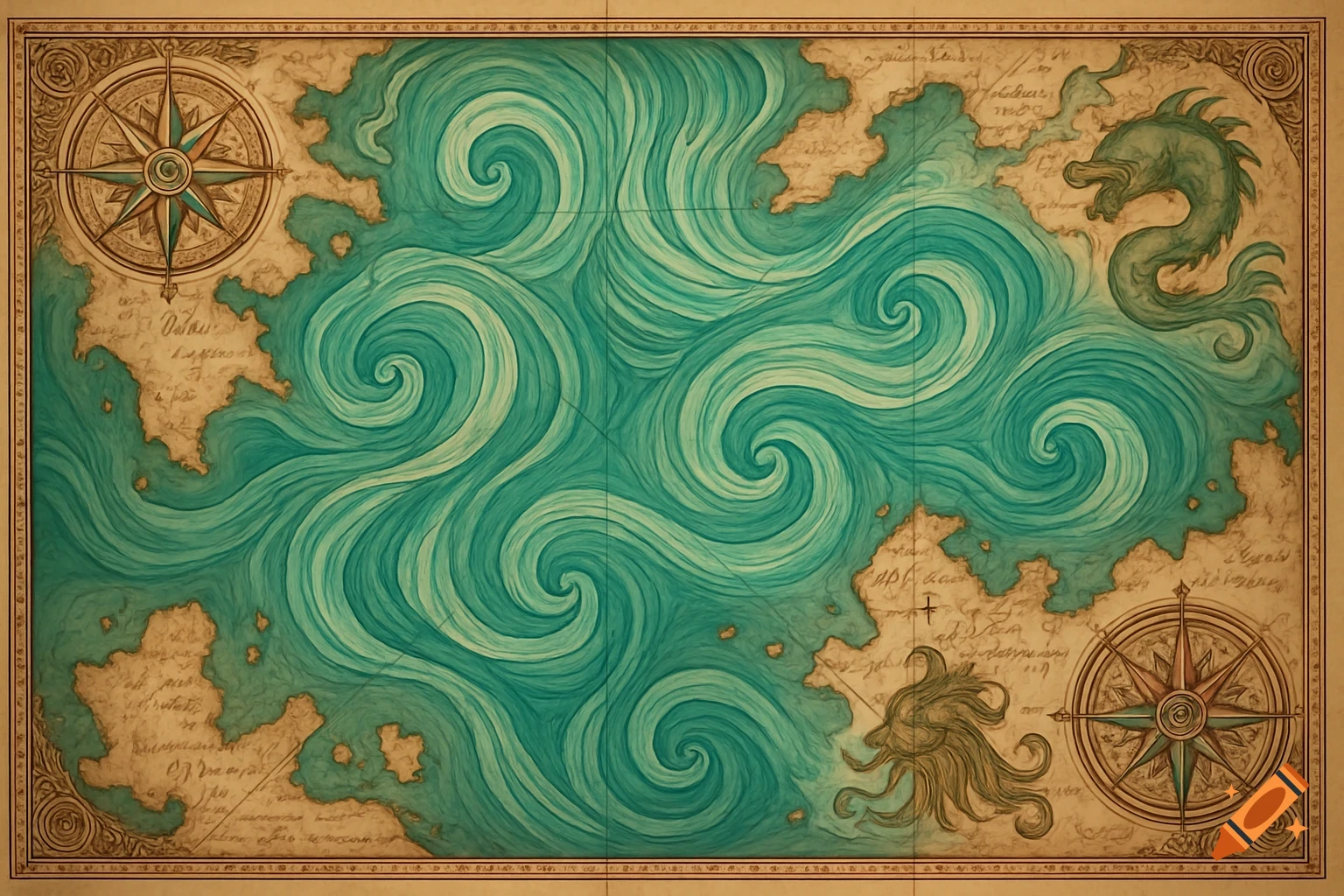
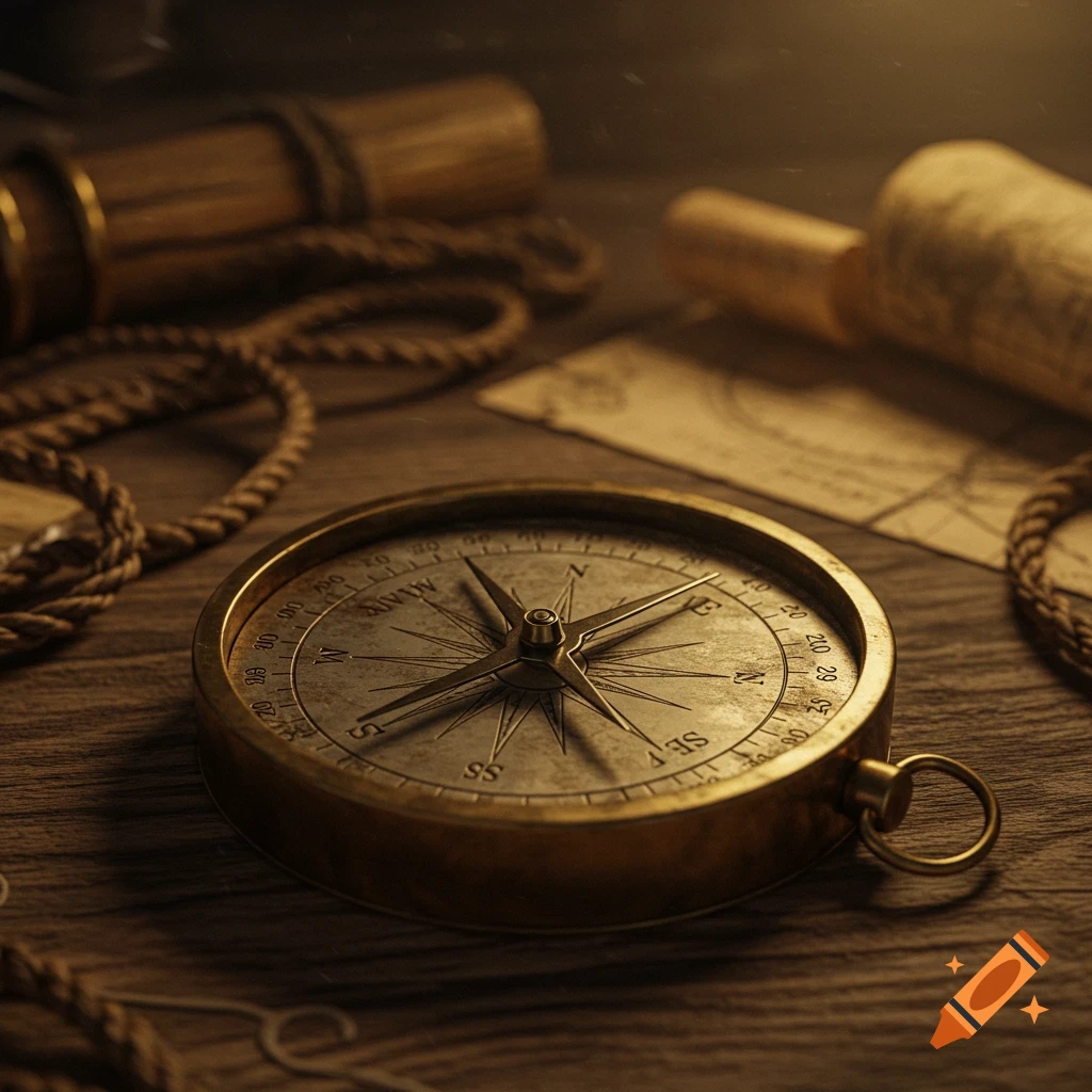
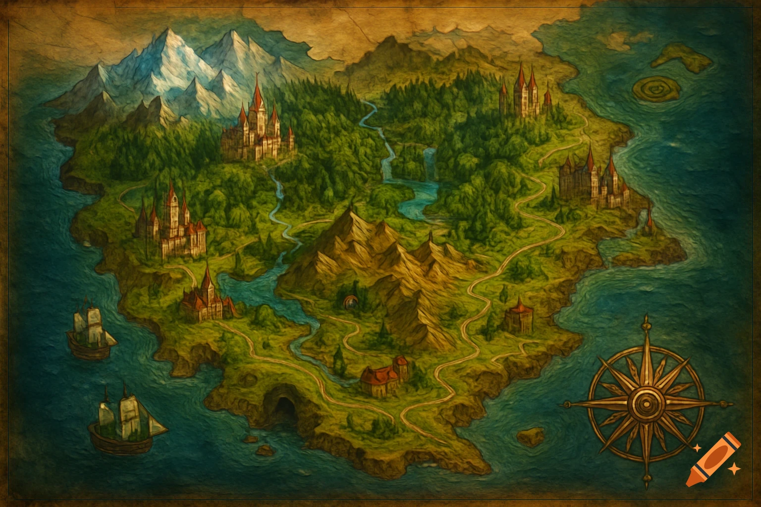
An old, detailed fantasy world map with inked terrain on aged paper, showing continents, oceans, runic text, and a worn appearance.

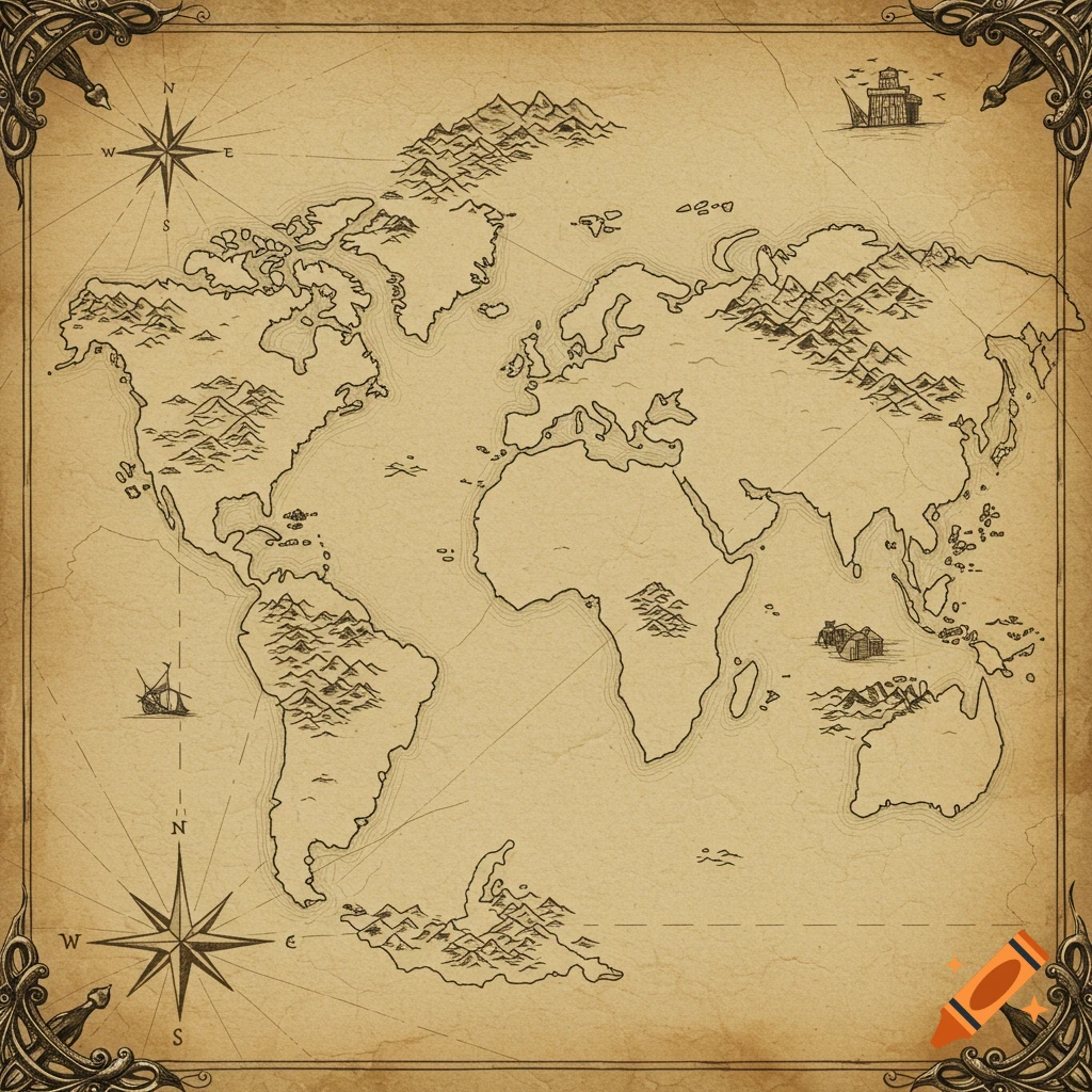
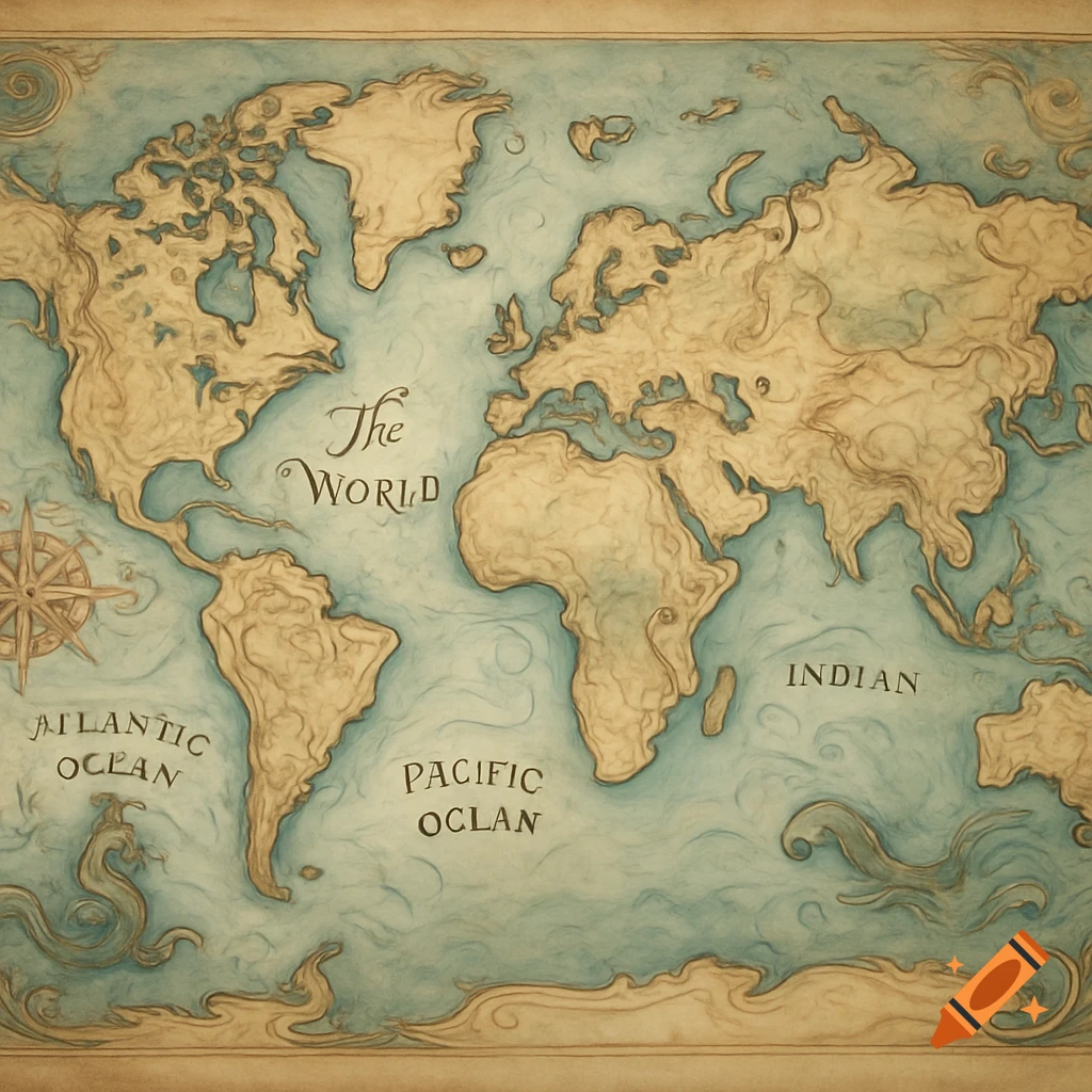
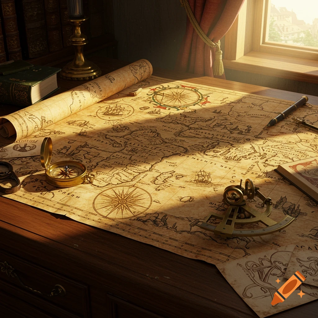
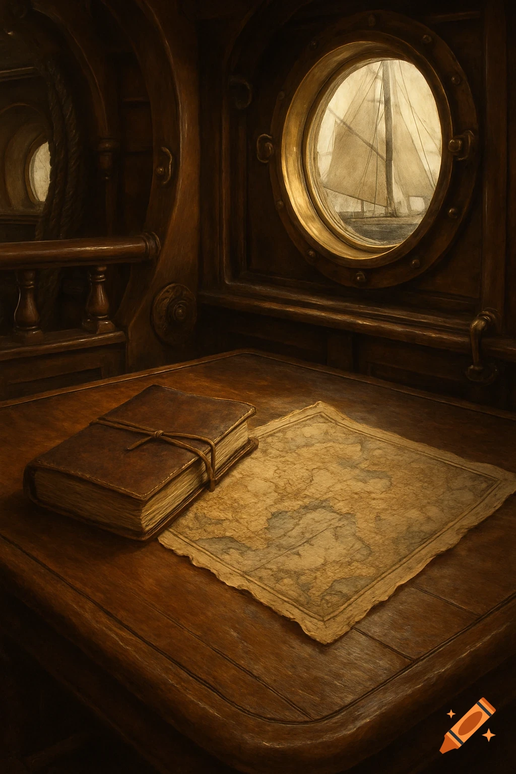
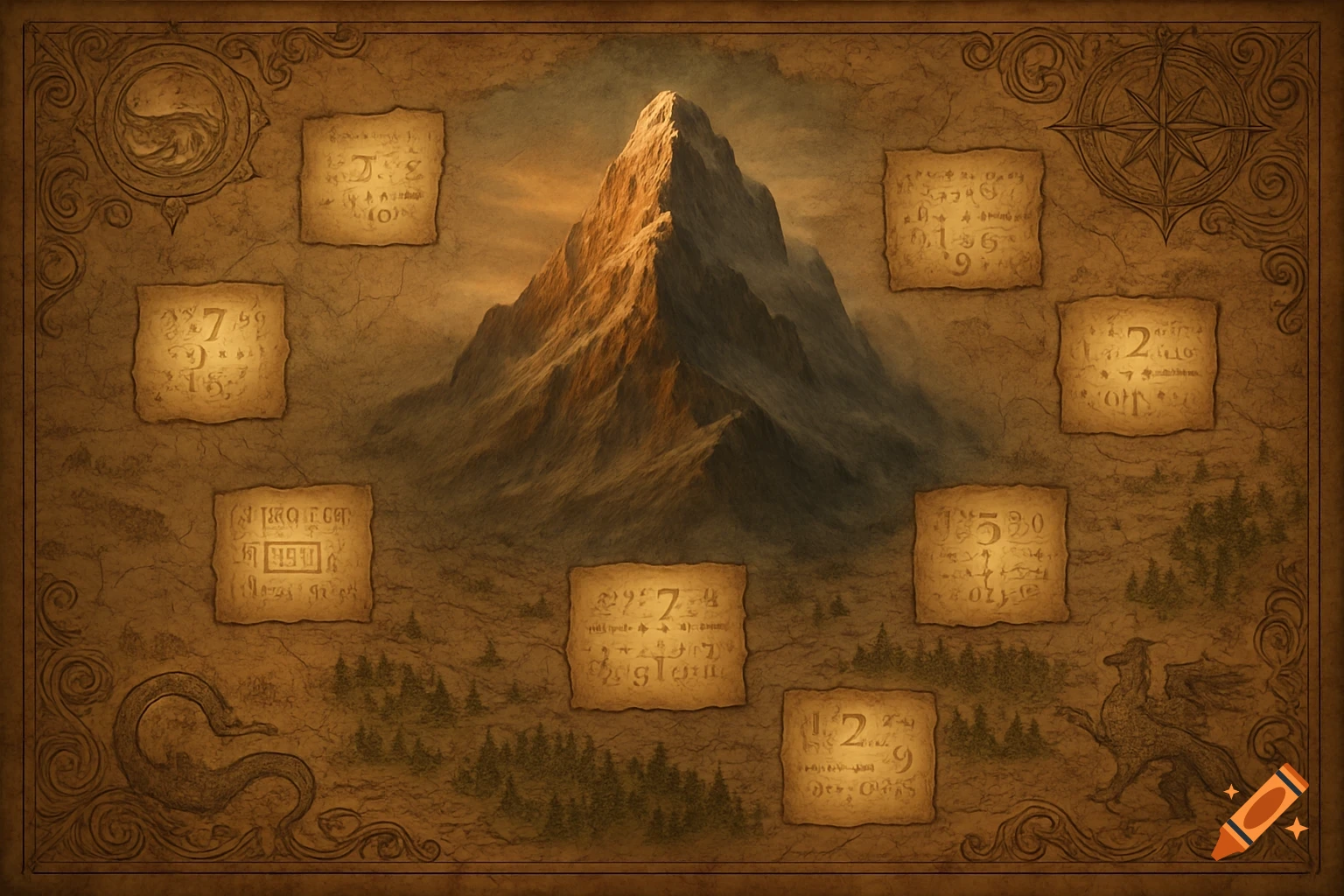
[A fully imaginative fantasy map with inked terrain, avoiding common naming schemes and going full-fantasy using runic lettering to capture the feel of another world from isekai fantasy.]: 4 ][Accurate scale bars - true proportional measurements rather than approximate, Improved projections - attempts to represent curved surfaces on flat paper (though still imperfect), Longitude lines - increasingly accurate, thanks to better chronometer designs, Standardized symbols - emerging conventions for marking features, Detailed harbor plans with depth measurements in fathoms]: 4 [Trade route annotations showing established commercial paths, Territorial claims marked with coats of arms and ownership declarations, Natural resource notes - where valuable spices, minerals, or timber were found, Drawn on waterproof vellum or treated leather, Marked up repeatedly by actual sailors adding their own notes, Often hand-sewn into protective covers, with loose pages for new discoveries Signed and dated by the cartographer and sometimes the captain who verified routes.]: 8 [Water damage around the edges from being rolled up in humid conditions Coffee stains or wine drops suggesting it was used aboard ship, Multiple layers of corrections showing evolving knowledge of routes, Inconsistencies that reveal how exploration proceeded incrementally]: 2 Ver mais
More images like this