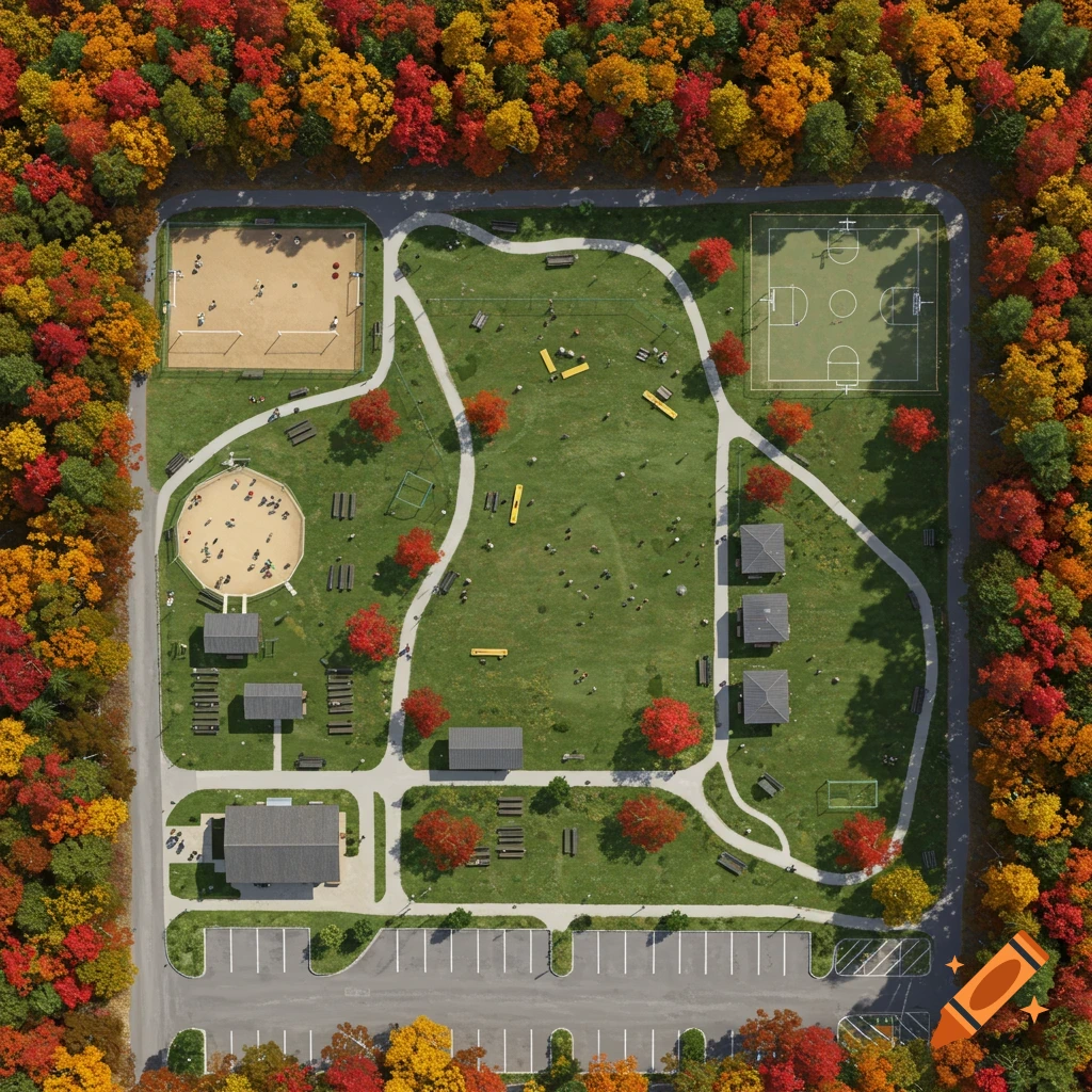
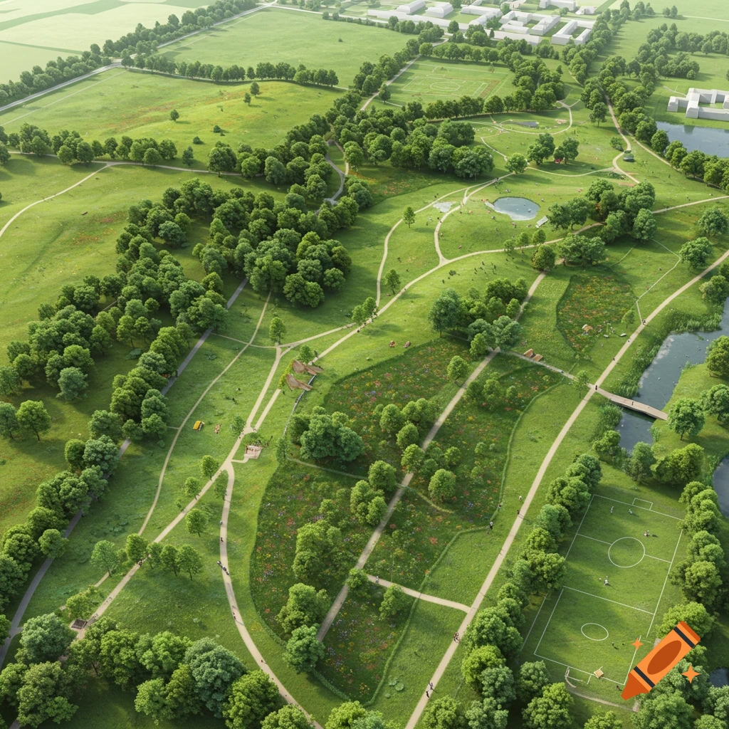
An aerial view of a pumpkin patch event layout, featuring a pumpkin maze, market stalls, a pig enclosure, and kids' games next to a parking lot.

I want to create a plot map for a pumpkin patch event. The field is all grass - rectangular. Measuring 200m long and 130m tall. There is a road along the top side. I want the site to be laid out as follows - Car parking across top of whole area of the site. Entrance arch that takes you in the patch which is located - Patch the whole remaining right section all the way to the bottom of the plot. Show pumpkins approx 1500 pumpkins is the aim - planted to fill the area with plenty of paths. Baring in mind how much plants spread . Photo opportunities- 3 sites within the patch - for example one photo op being an old citreon pick up van full of pumpkins and hay bale. Animals bottom left of the site . Pigs right at the back left corner out for reach - the pigs can be seen but not accessed due to biosecurity regs. Kids Games just above - for example pumpkin bowling. Pumpkin ring toss. Petit marché of 3-4 producers, tea room which will the served from a renovated horse box and marquee above. Payment on Exit above and back to the car. Zoning can be carried out by limited stock panels or hay bales. Like the image attached donut modified to follow the layout I described Ver mais
More images like this