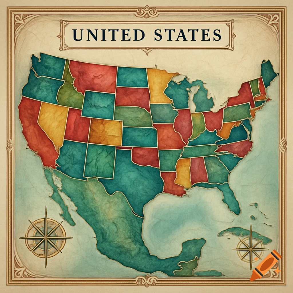
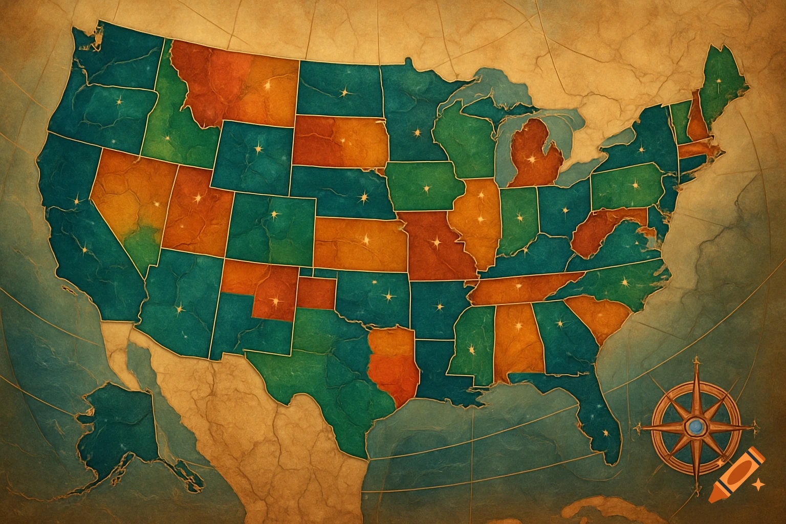
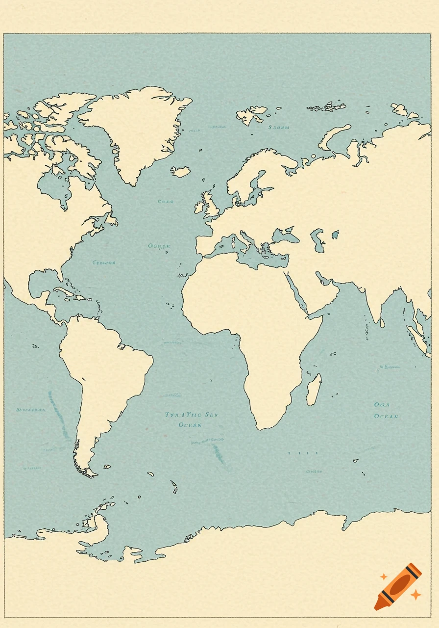
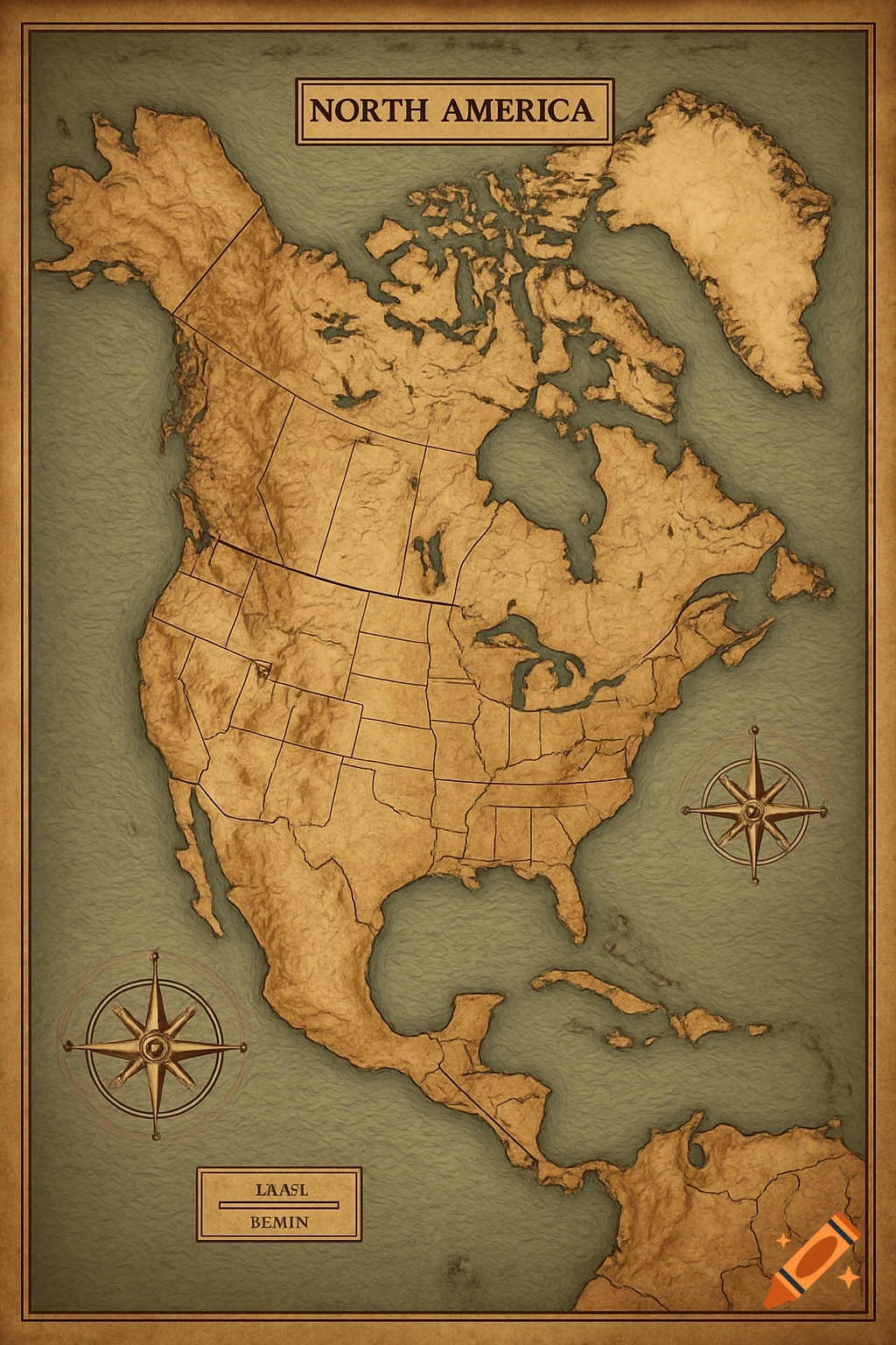
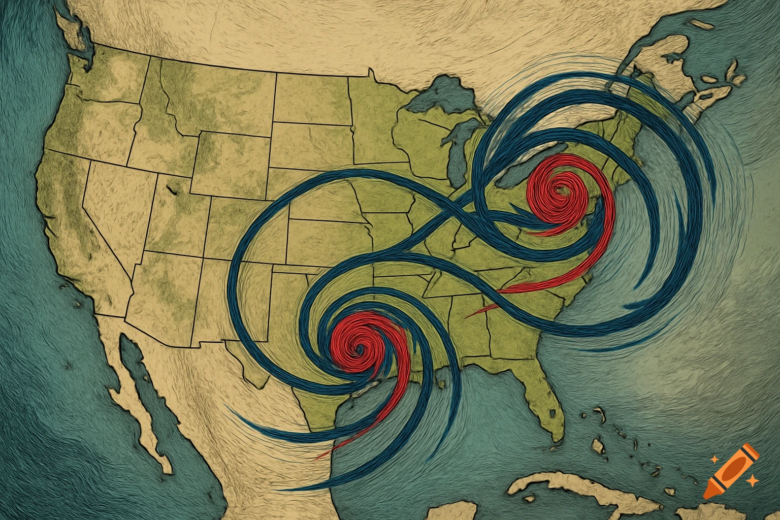
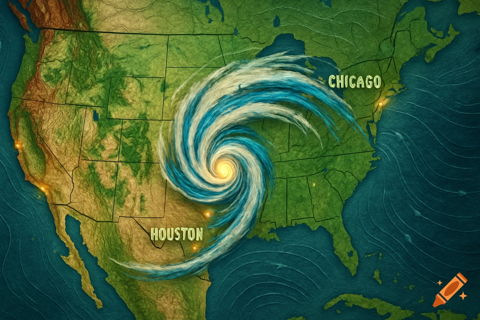
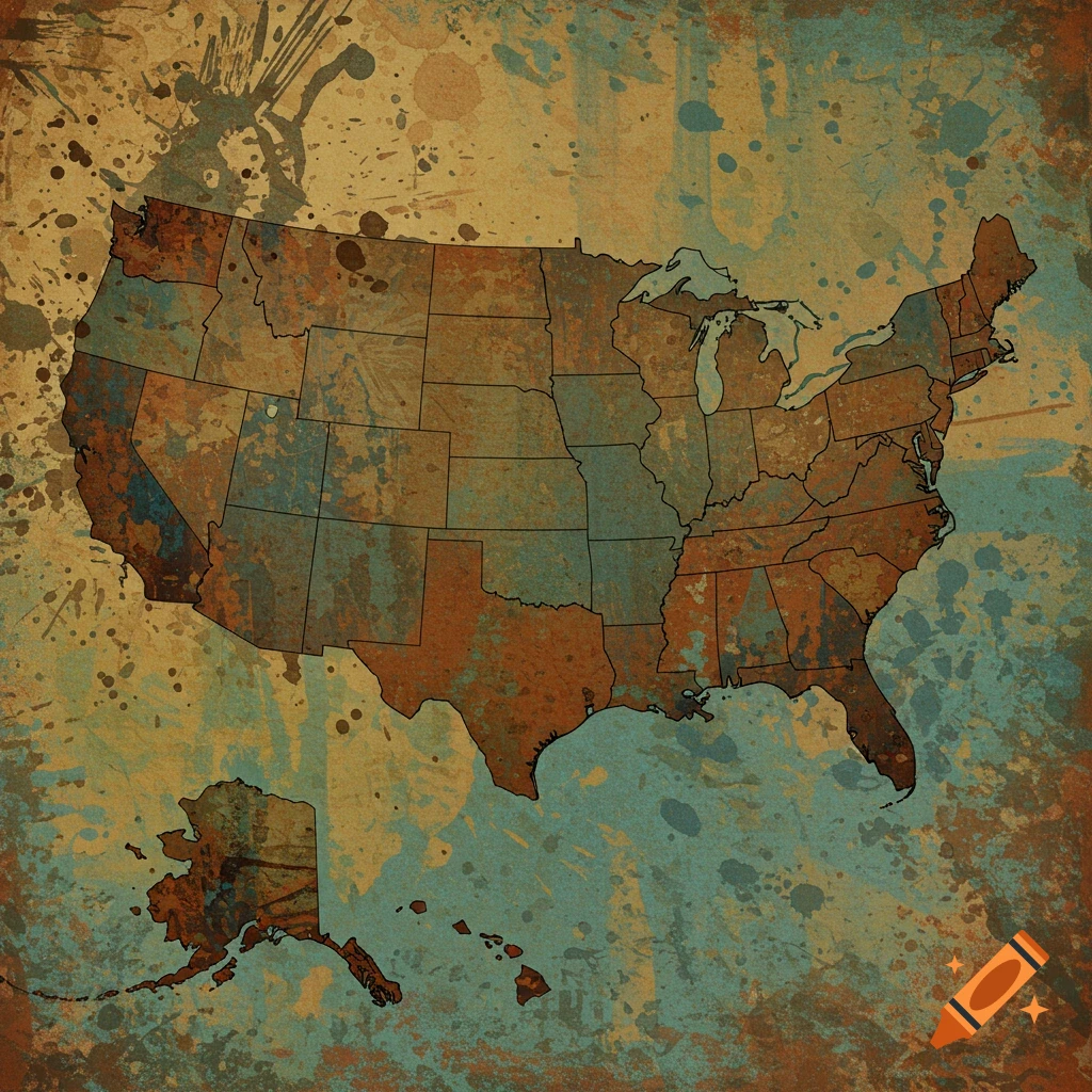
Map showing two hurricane paths over the US Gulf Coast and East Coast, with colored circles indicating intensity.
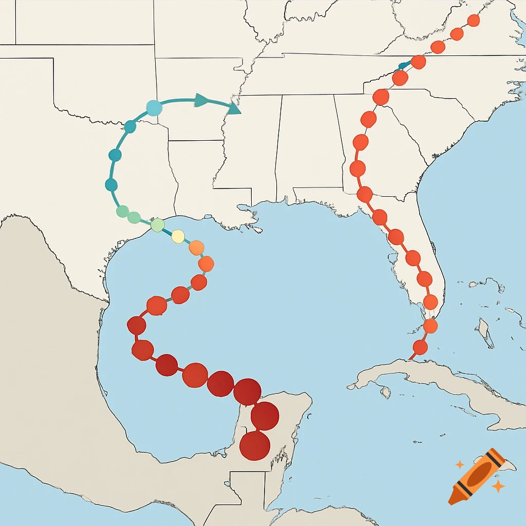
Draw me a map of two hurricane pathways. For the first pathway, the hurricane originates in the east of the Gulf of Mexico and travels northwest, hitting Mississippi, Louisiana, continuing westward into Texas, and then heading north. For the second, the hurricane starts in the Caribbean above Cuba, and travels along the eastern coast of Florida, and continues north along the U.S. East Coast. Use coloured circles to show the increasing intensity of the hurricane as it moves towards landfall, with red being the most intense Voir plus
More images like this