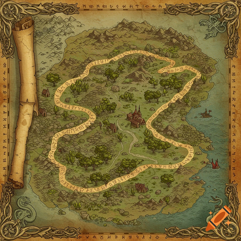
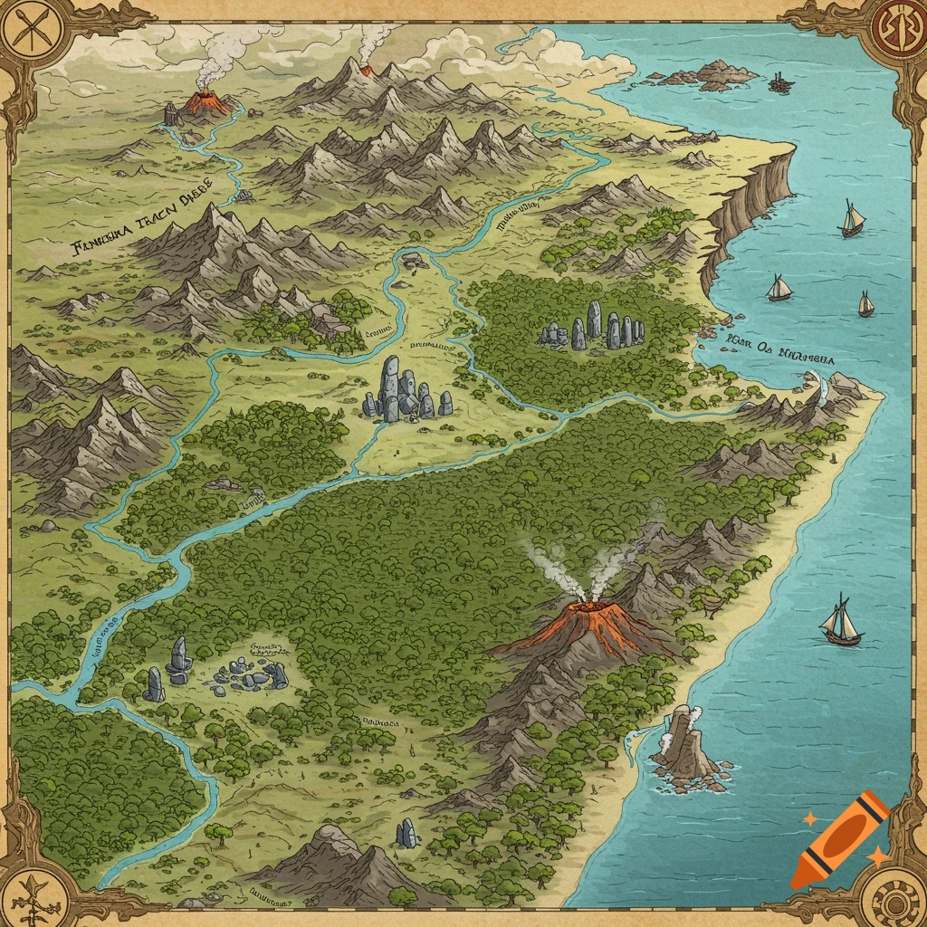
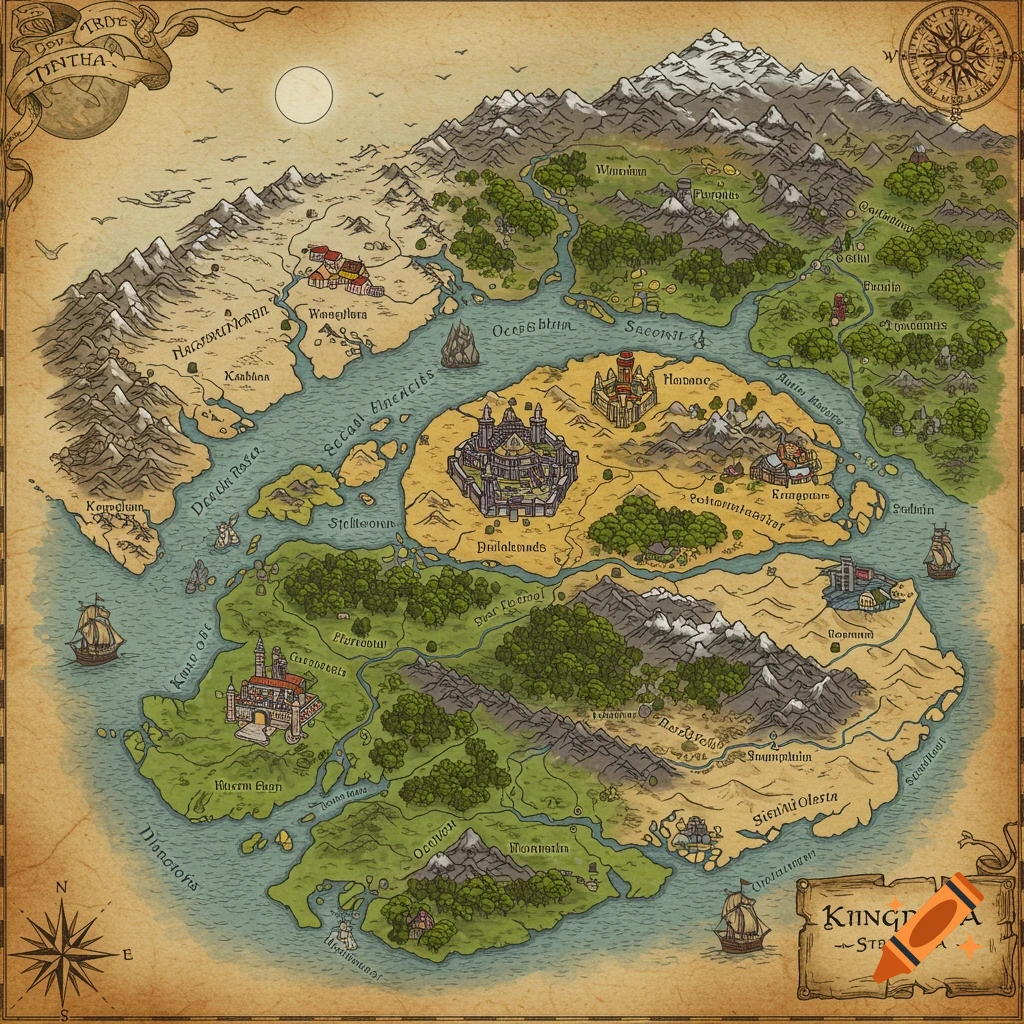
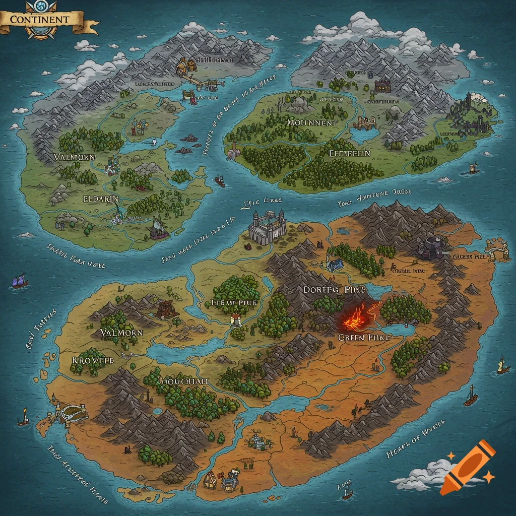
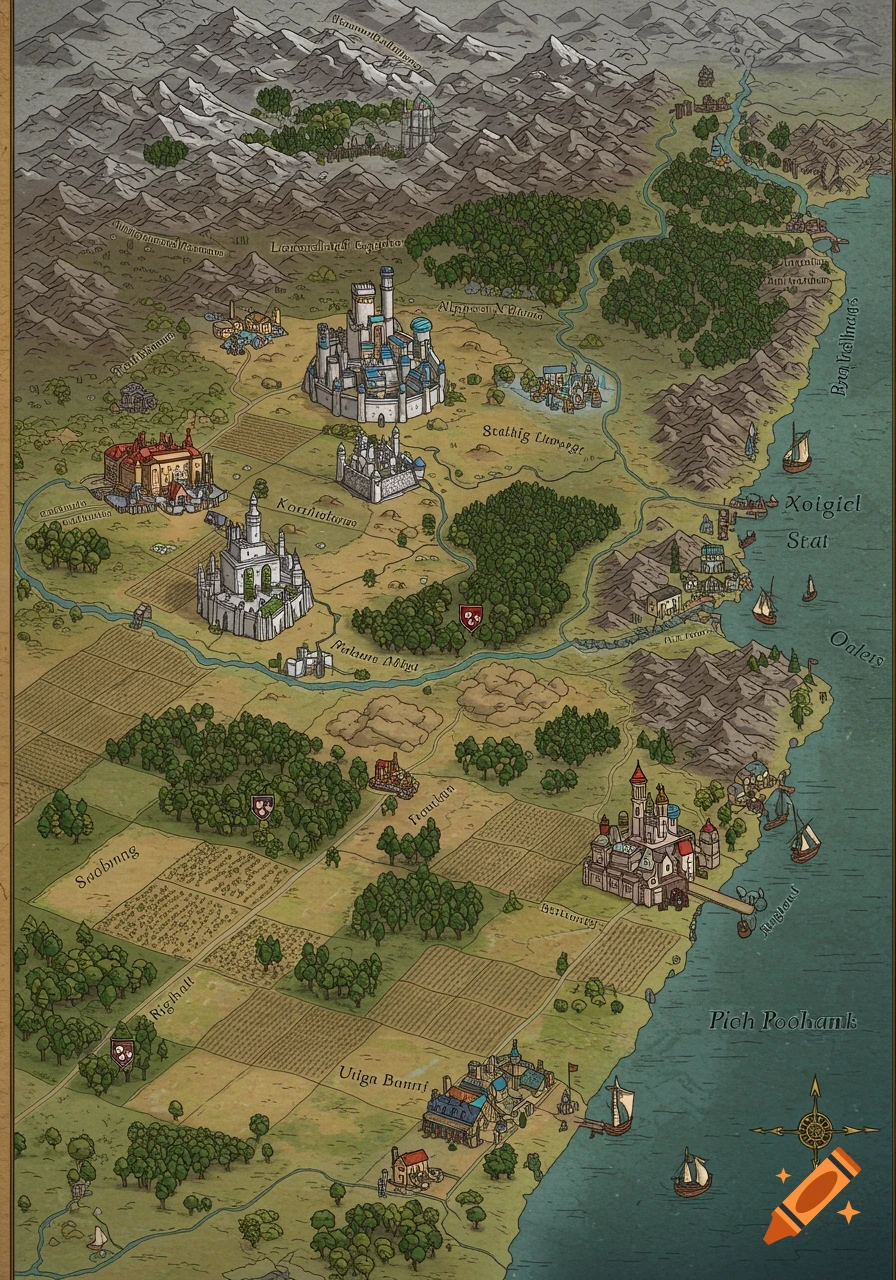
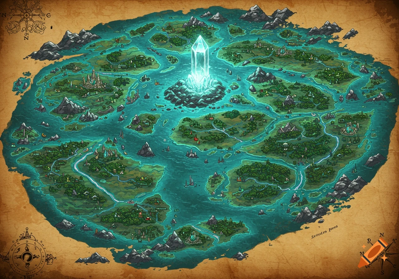
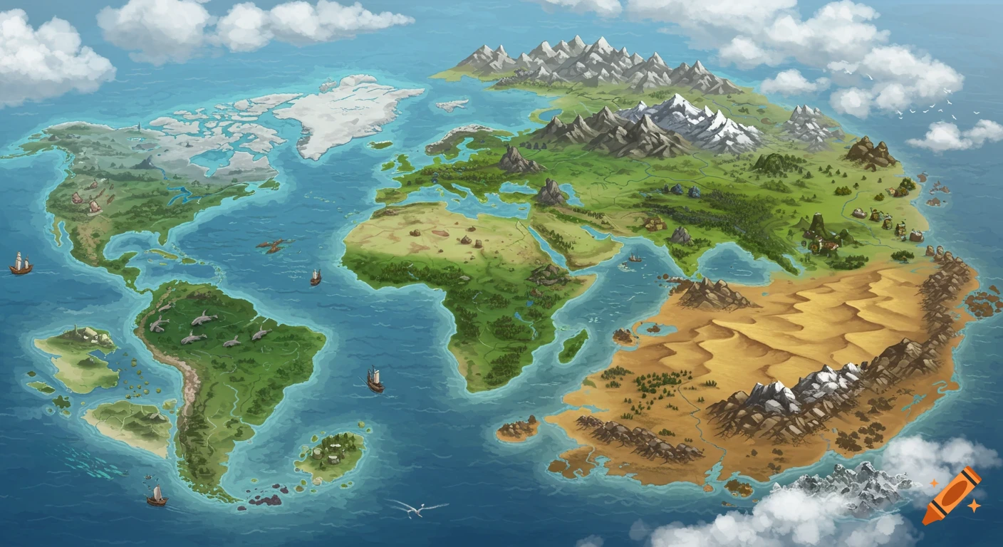
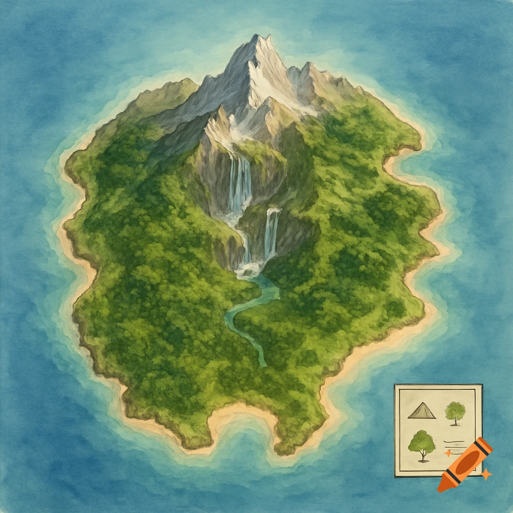
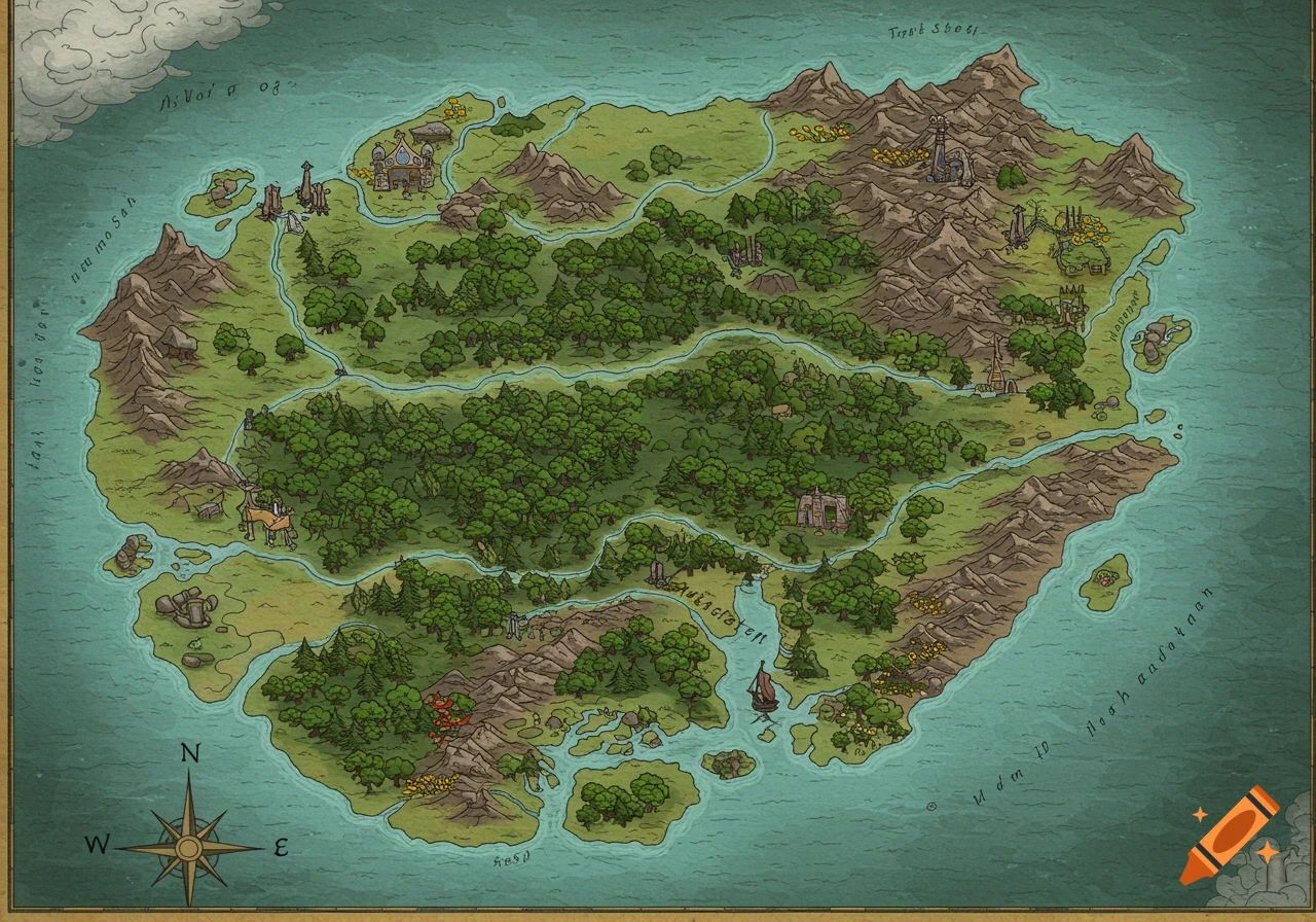
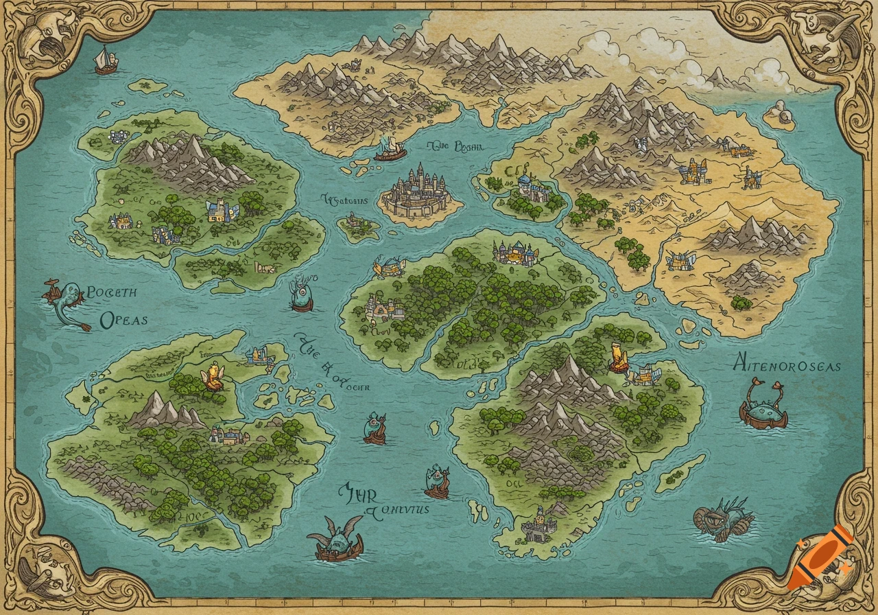
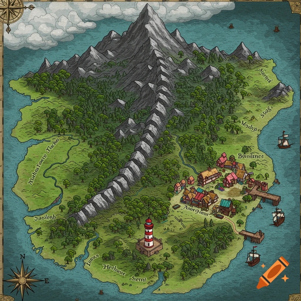
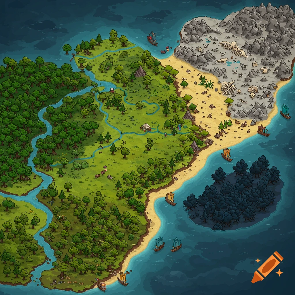
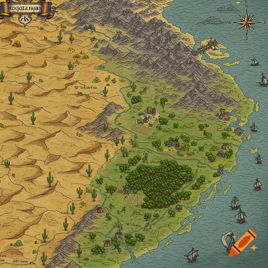
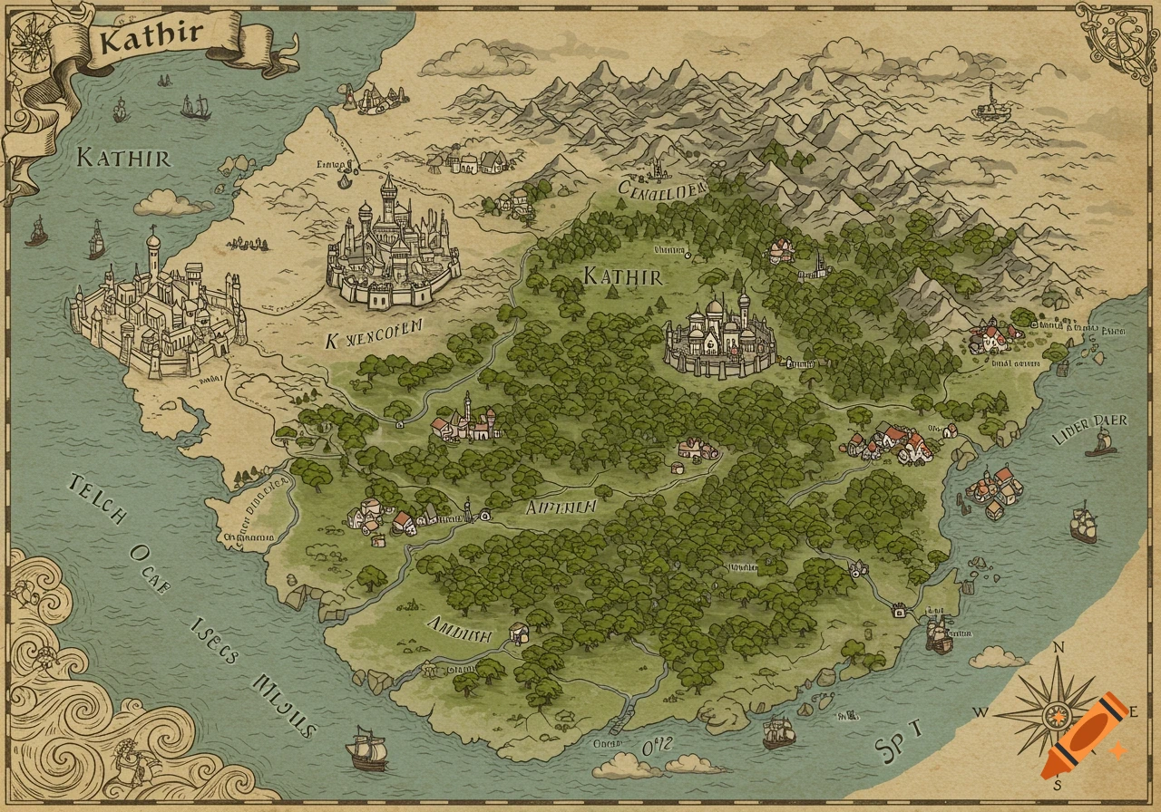
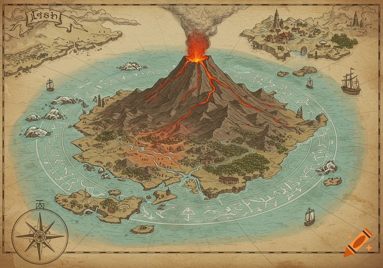
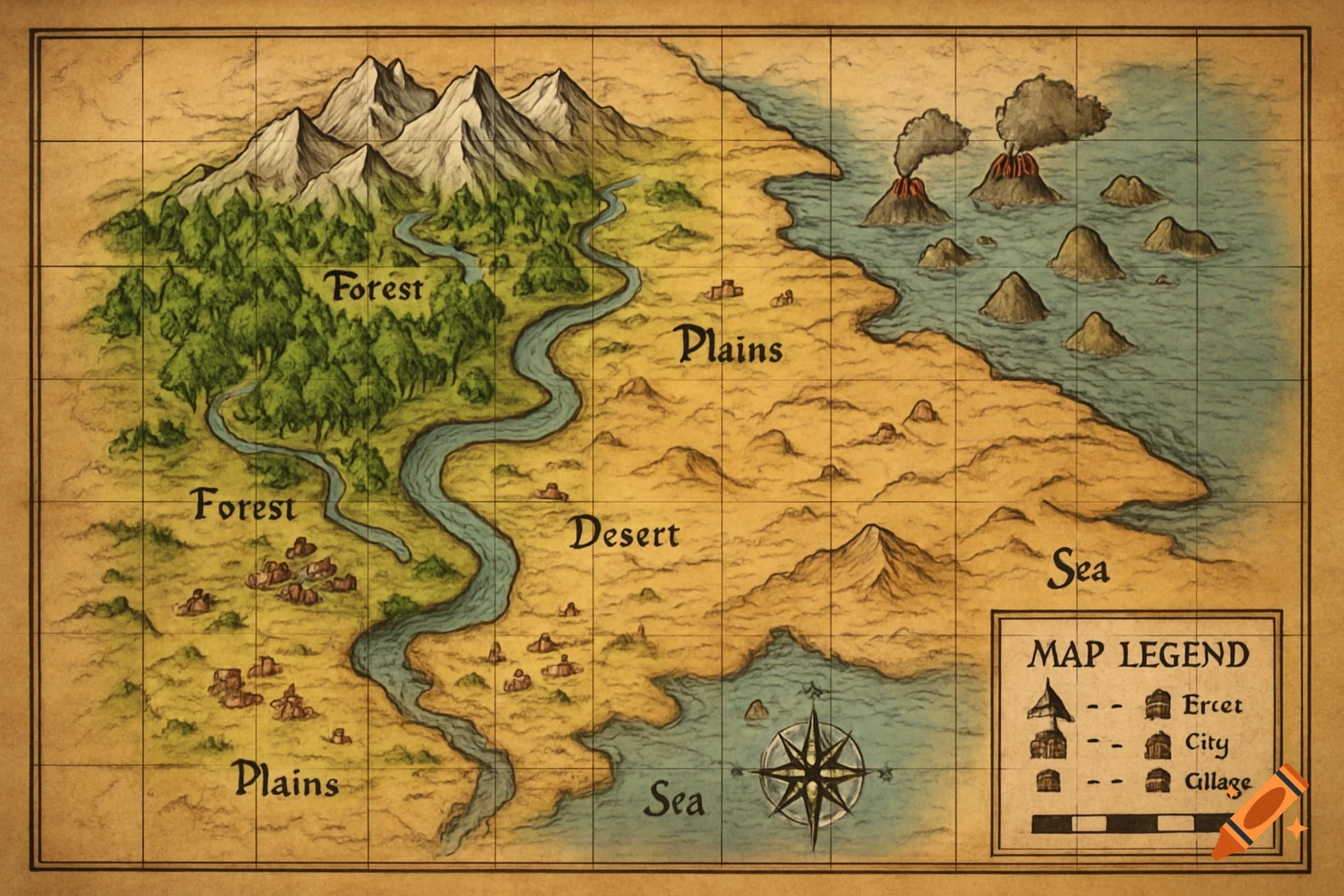
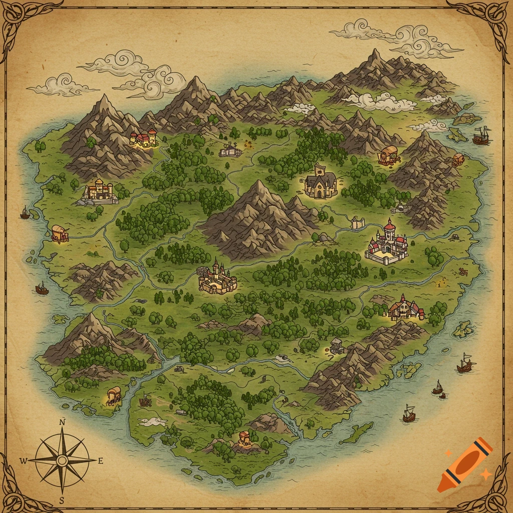
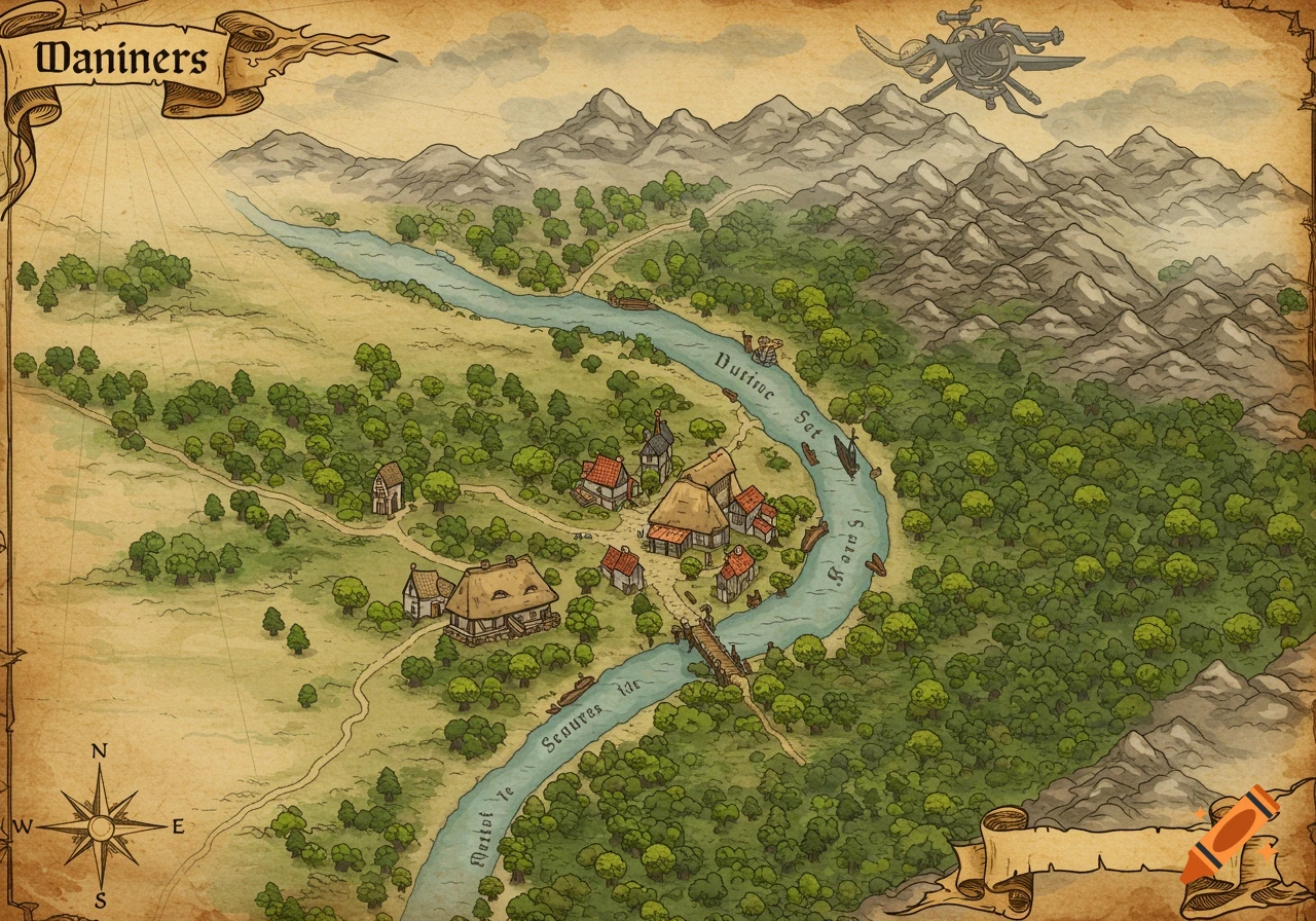
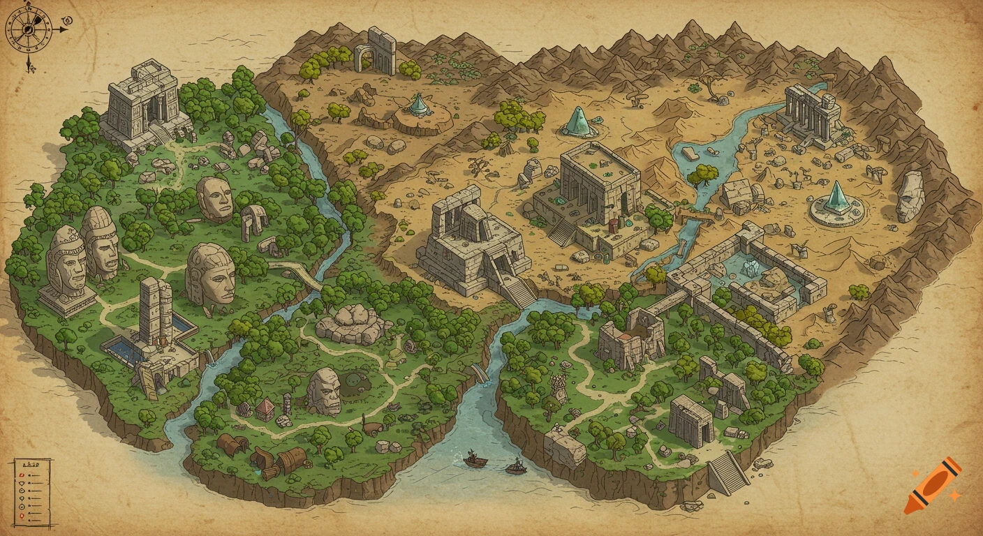
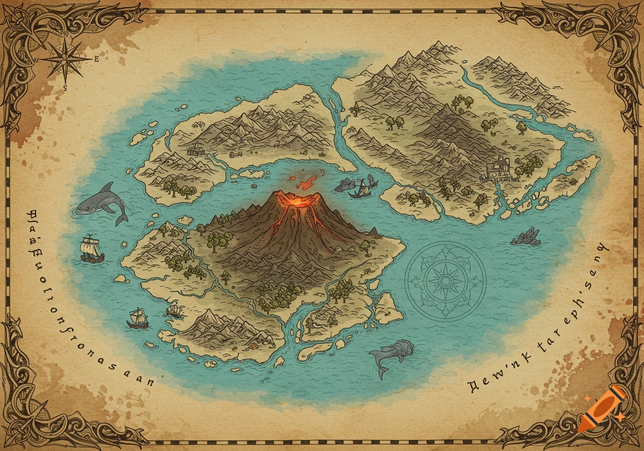
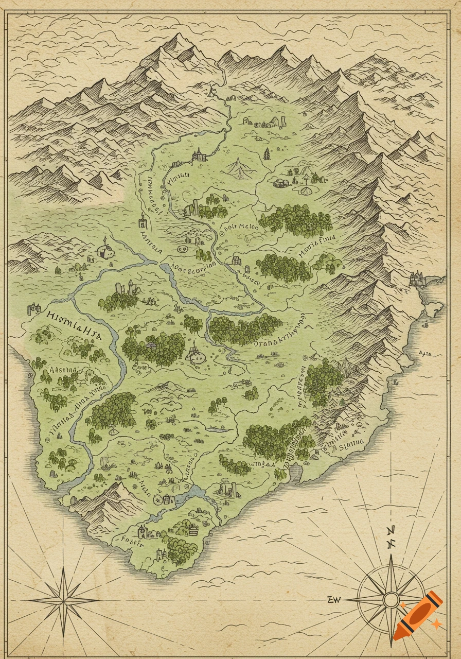
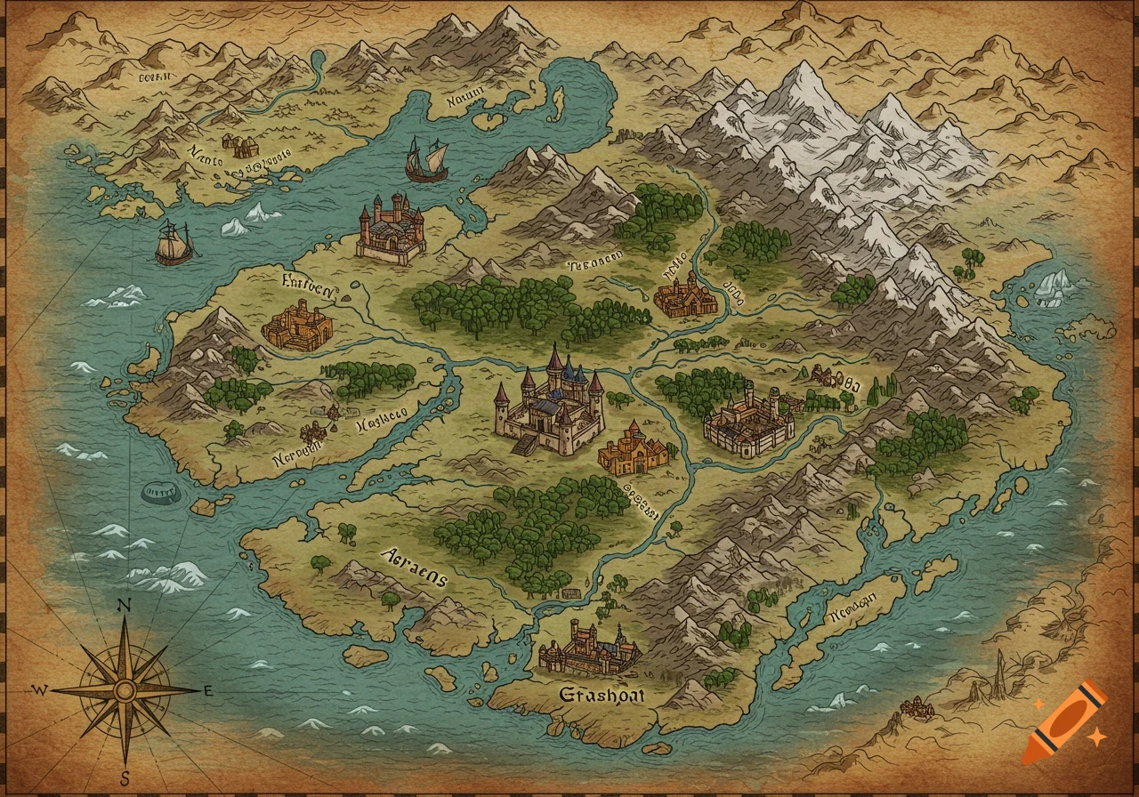
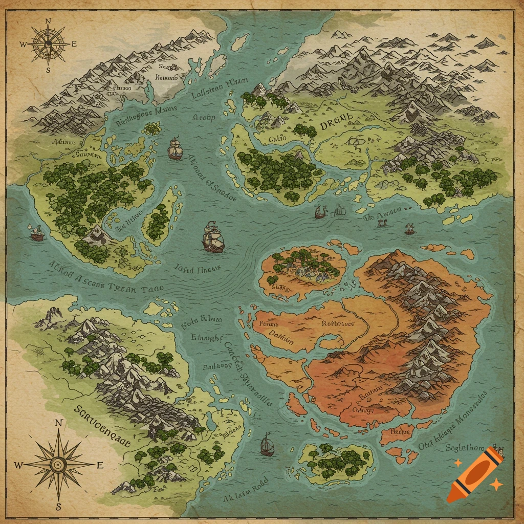
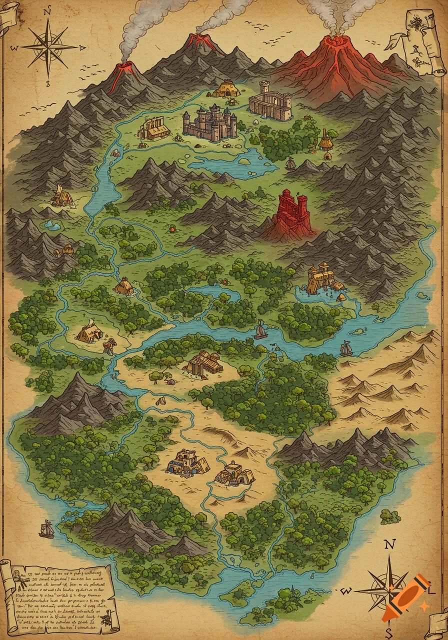
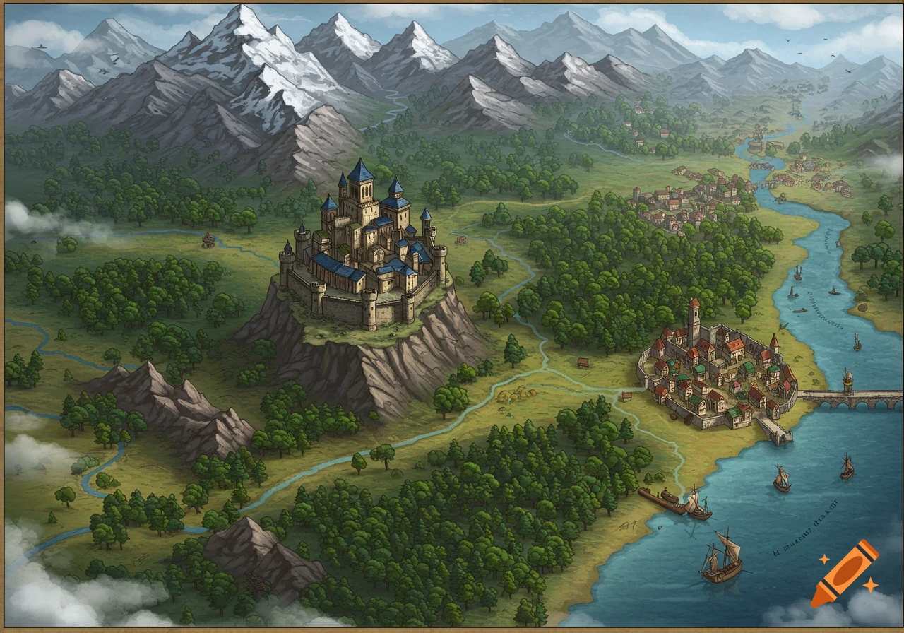
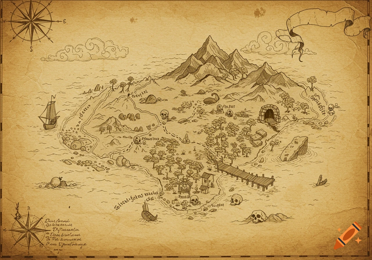
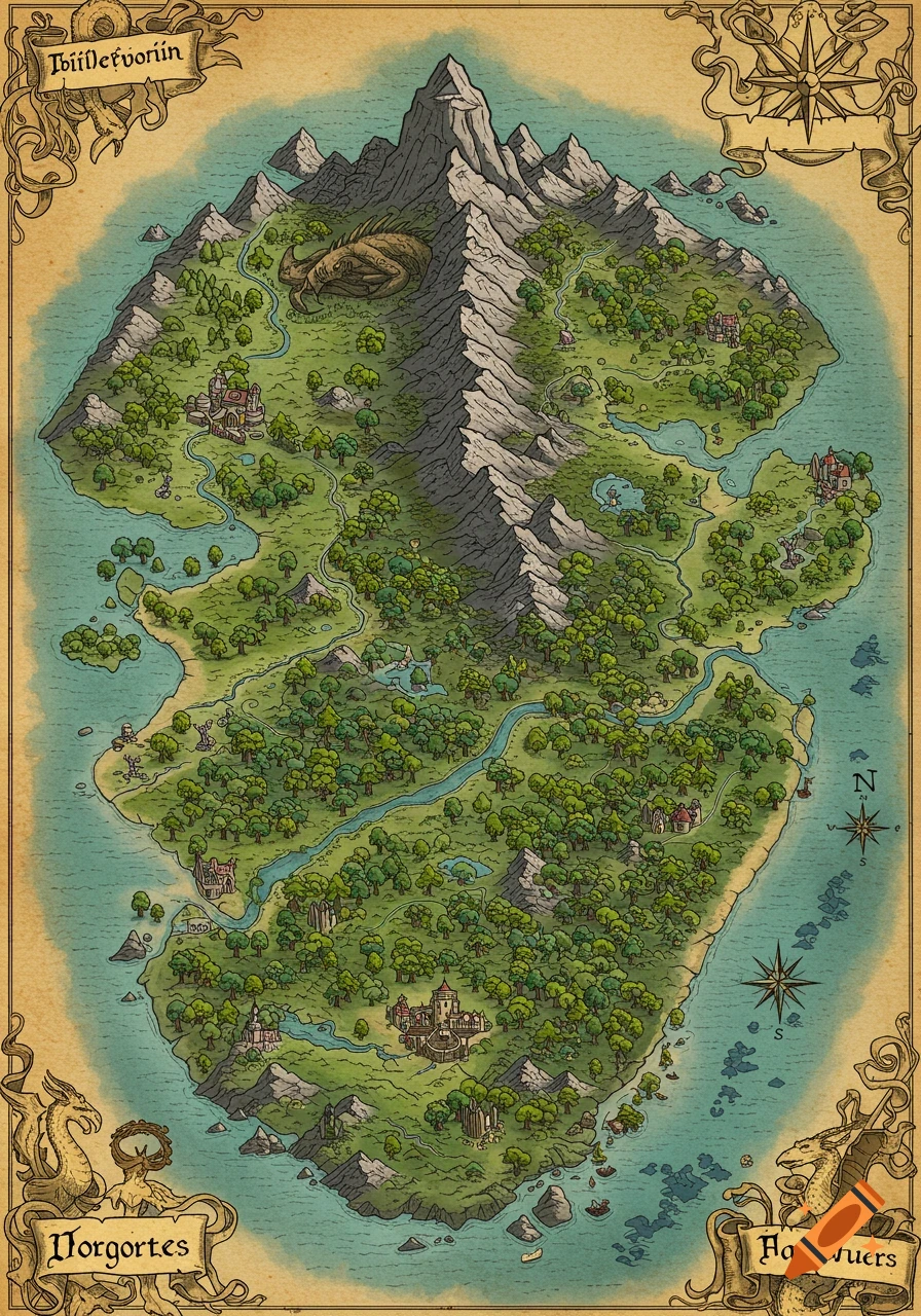
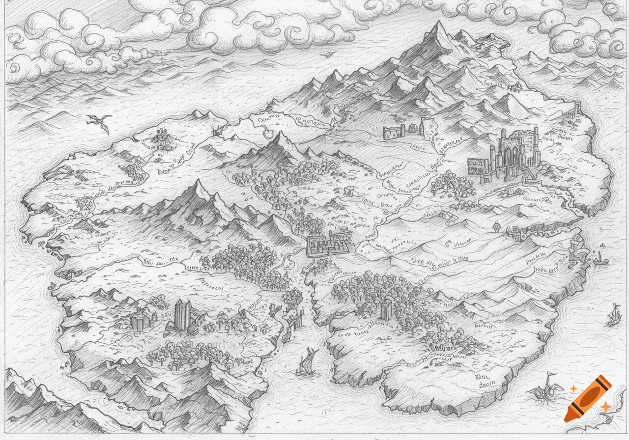
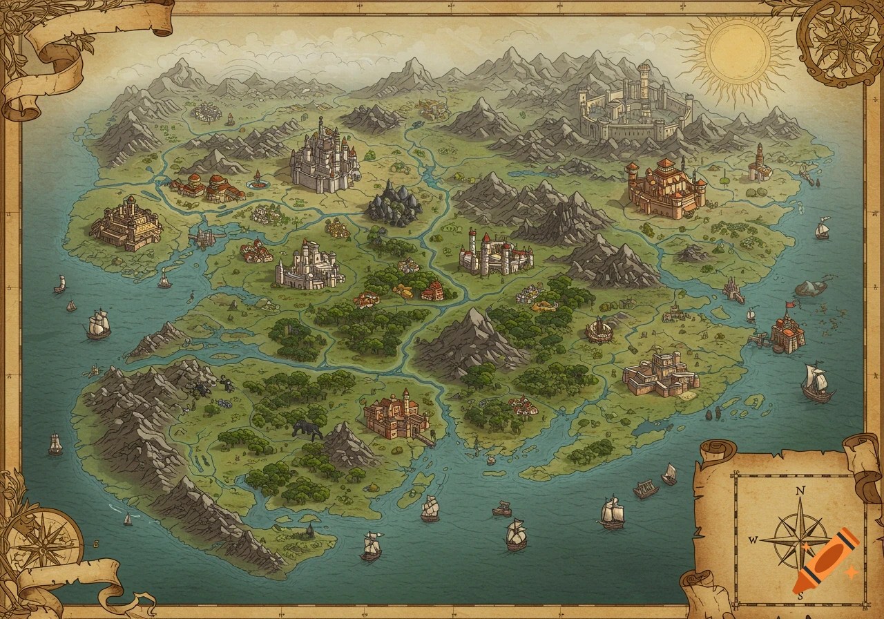
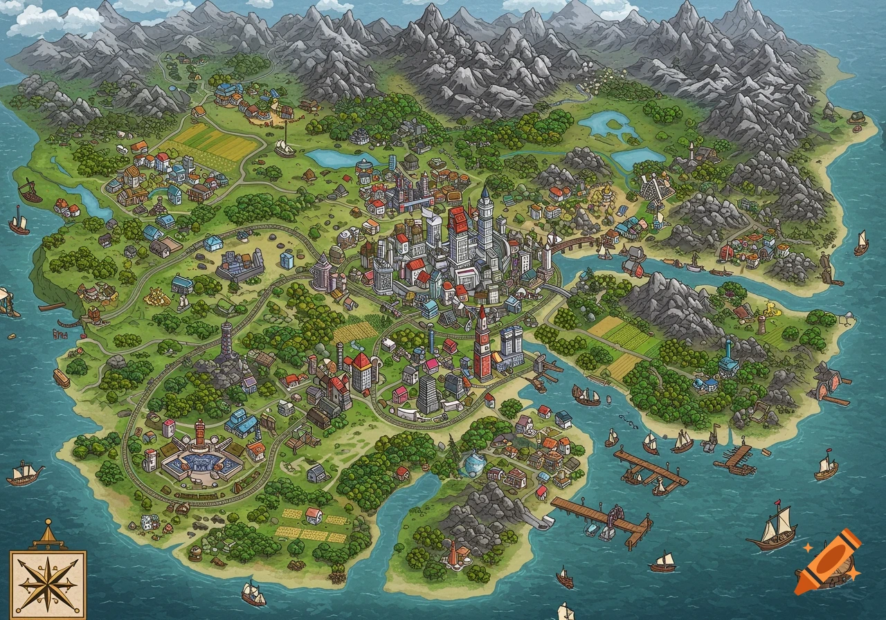
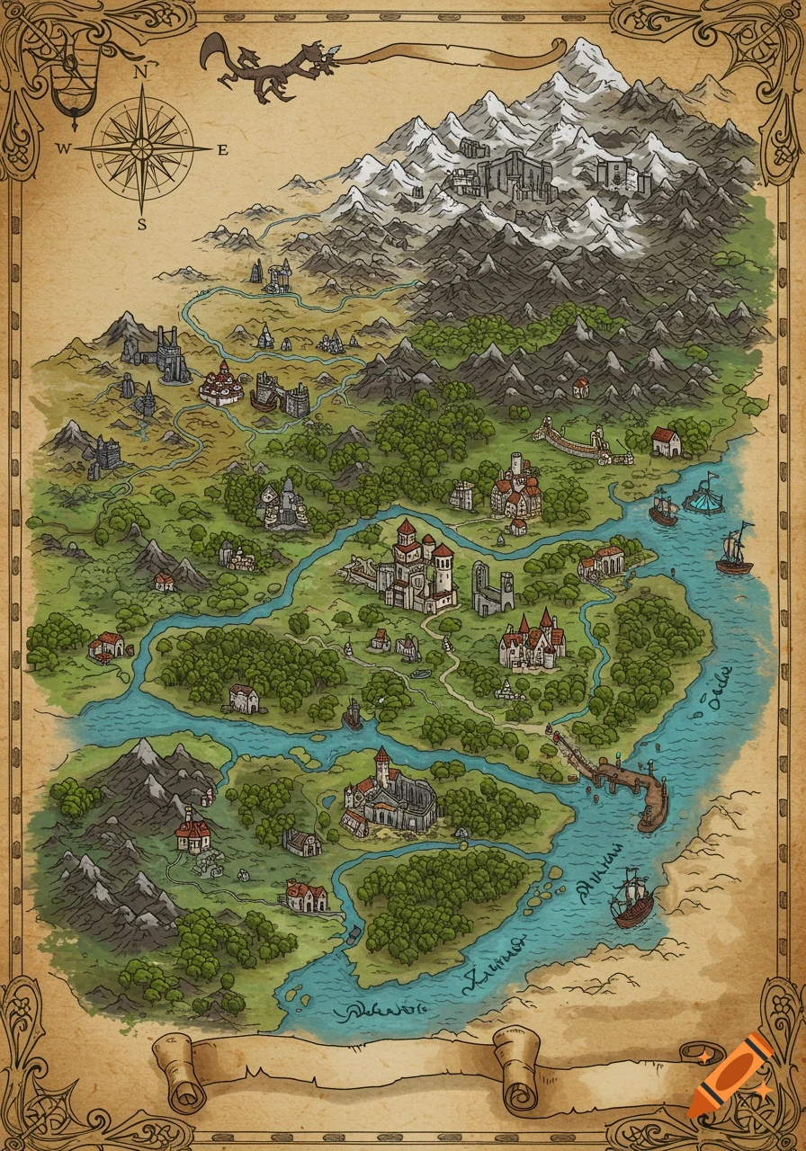
A top-down 2D hand-drawn map of Nandos Island with mountains, a river, forest, farms, villages, roads, and a compass rose, on grid paper.

A top-down 2D geography map of a fictional island shaped precisely like a roasted chicken wing, presented in a clean, hand-drawn cartography style on a neat grid-paper background. The entire map is enclosed within a crisp, solid black border. In the top-center, the title text reads "NANDOS ISLAND" in bold lettering. In the top-right corner, a simple, clear compass rose points North. At the very bottom edge, small text reads "Source: Peri-Peri Geography Department Records, 2026" and a scale reads "1 Grid Square = 5 Kilometers".The physical terrain features a jagged mountain range made of clustered small brown triangles dead center in the island. A wavy blue river flows out of these mountains towards the coast, blocked halfway by a tiny solid black rectangle representing a dam. The western coast contains a vibrant green forest filled with tiny tree icons, dropping down into a coastal marsh zone filled with green marsh-grass symbols. The opposite side of the island features a flat plain wrapped around a small inland village marked by a red dot. Surrounding this village are bright yellow patches filled with parallel brown lines to show crops.On a deep, sheltered coastal bay sits a large capital town marked by a prominent red dot, with a small black anchor icon right on the shoreline nearby. A solid red highway line curves across the island, linking the capital town, a small black airplane icon on the flat central plains, and the inland village. A separate black railway line with Voir plus
More images like this