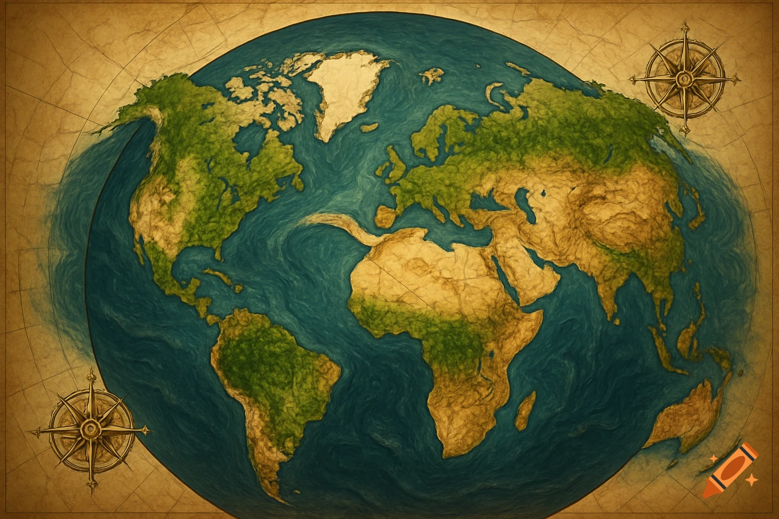
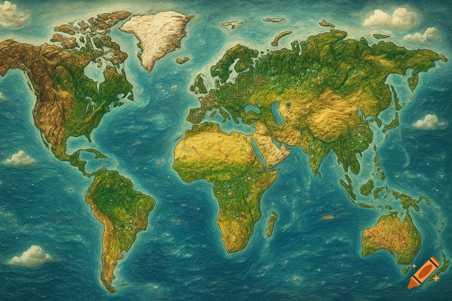
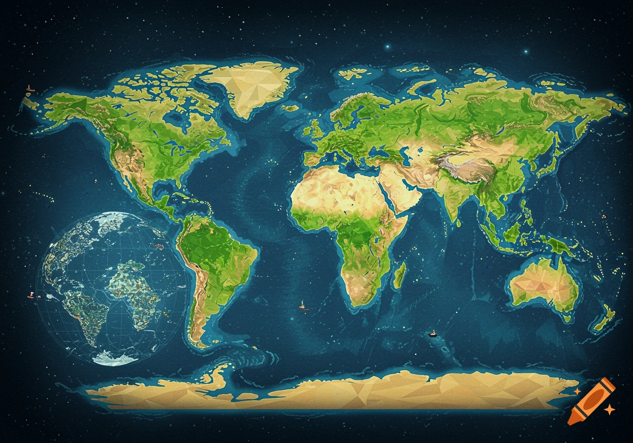
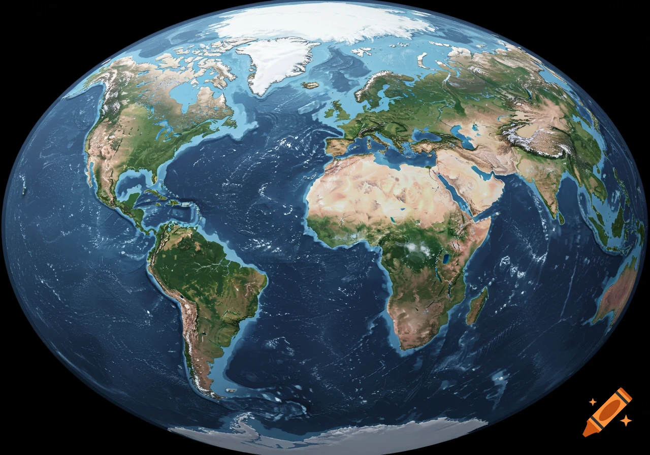
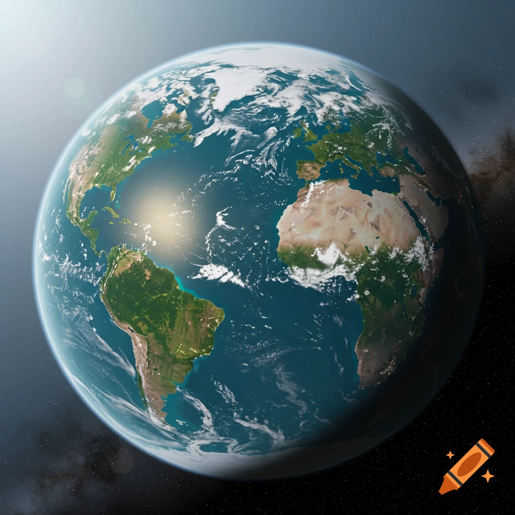
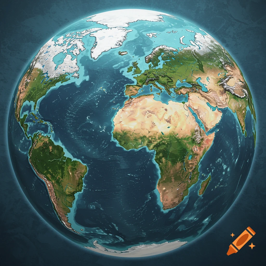
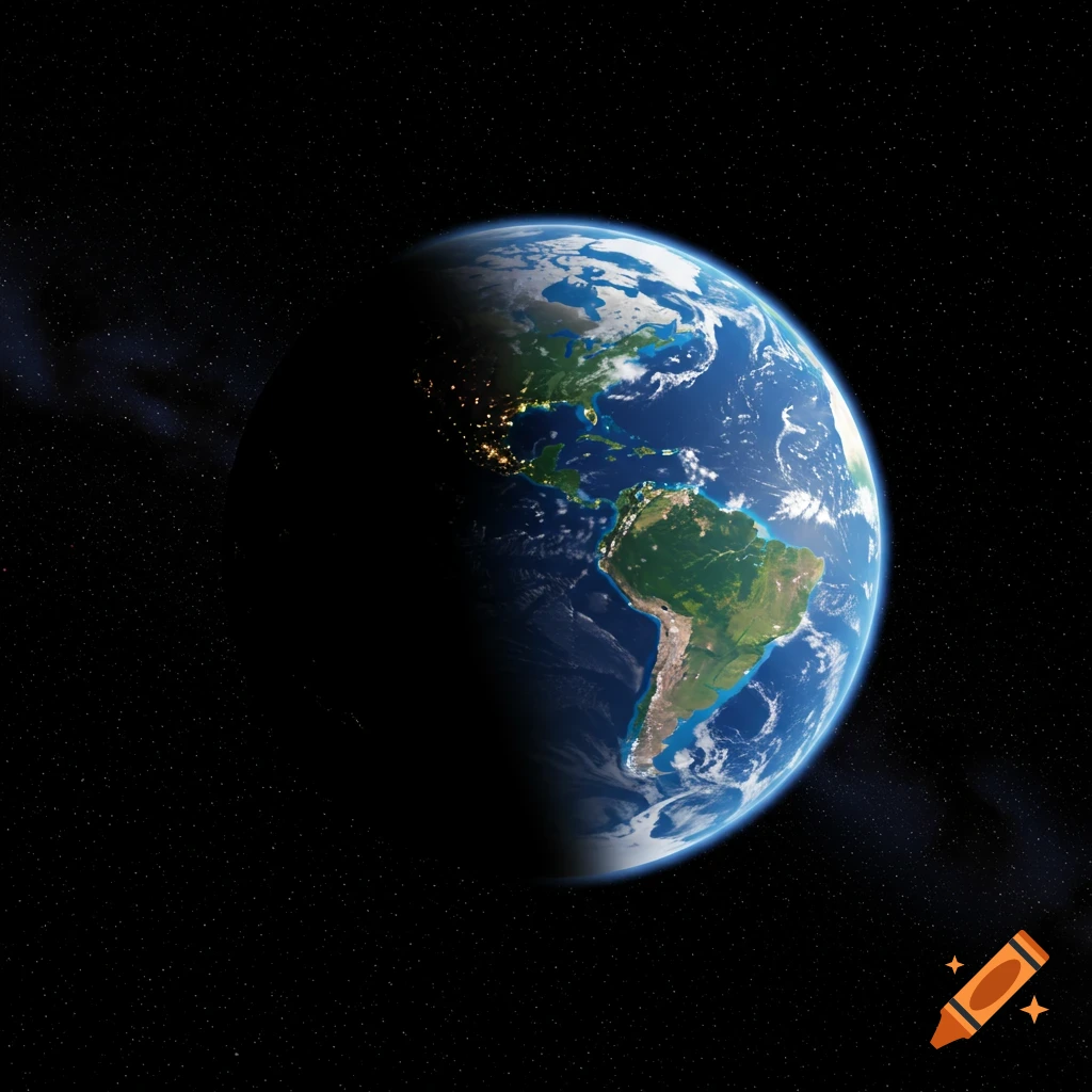
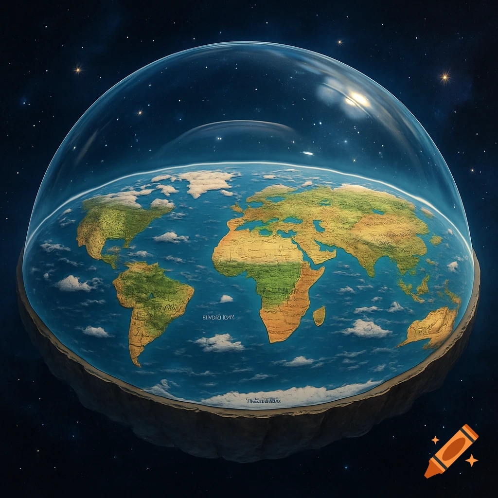
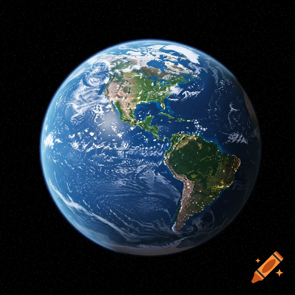
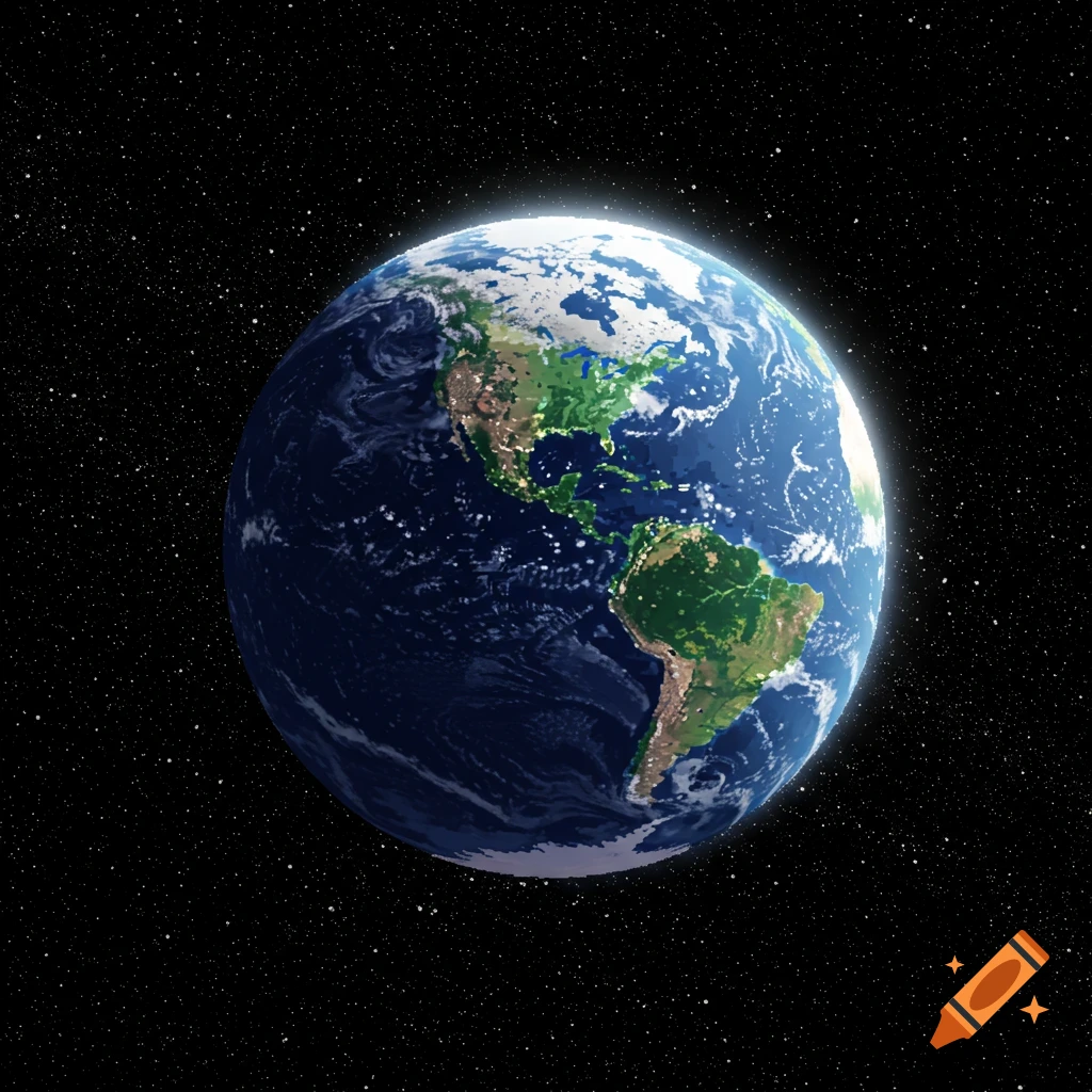
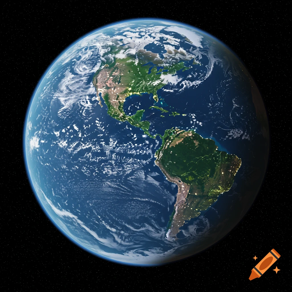
Real world map with accurate land sizes
real world map with precision accurate land sizes using statute miles only for the entire area and showing what’s outside the boundary of the world from an azimuthal equidistant perspective with the North Pole at the center Voir plus
More images like this