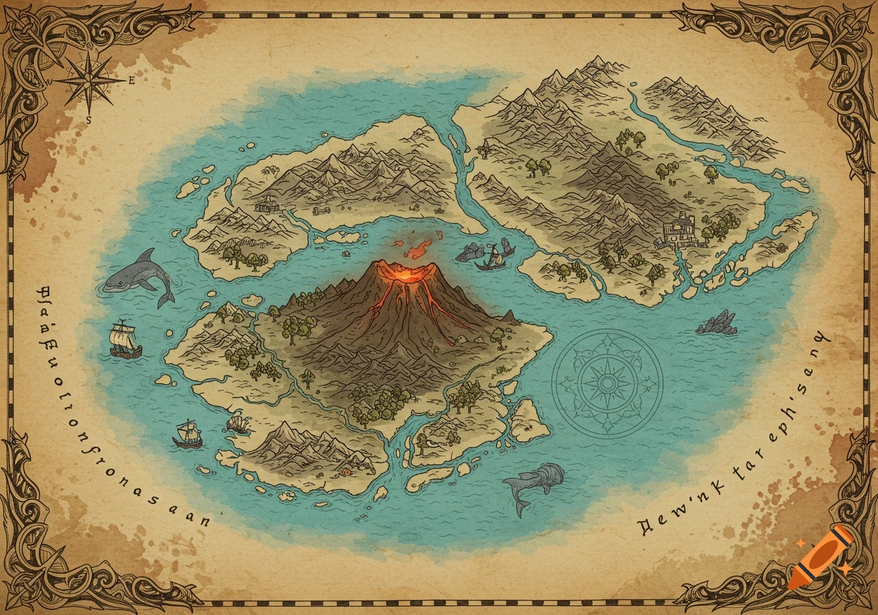
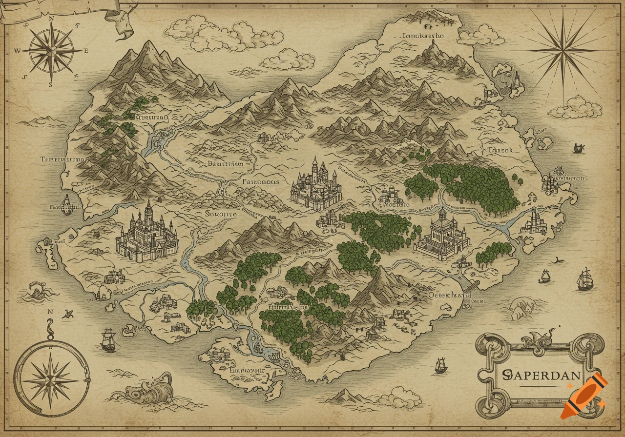
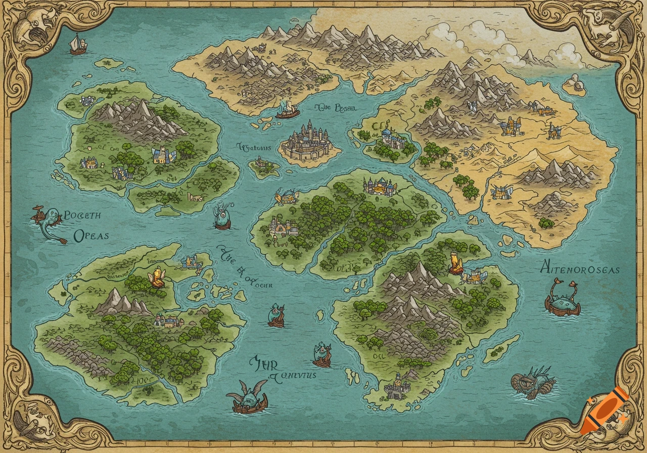
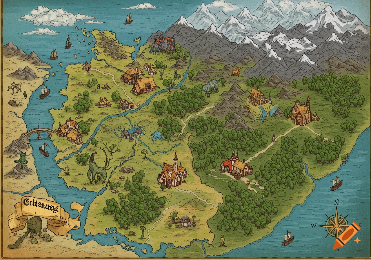
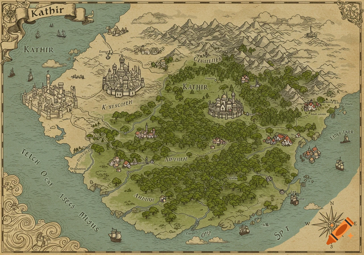
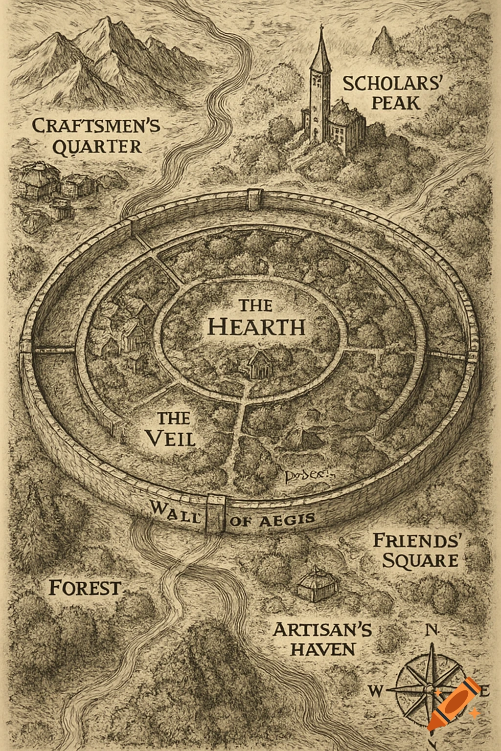
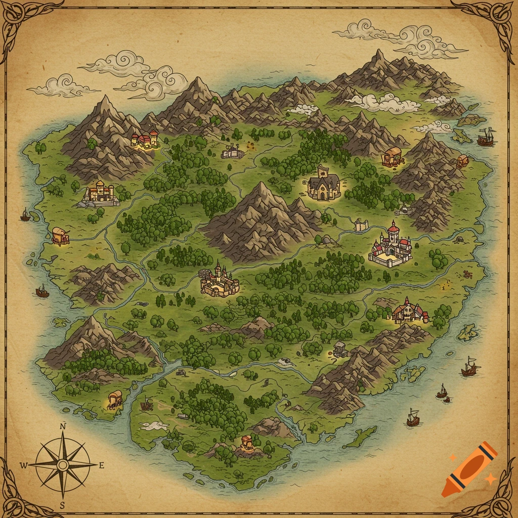
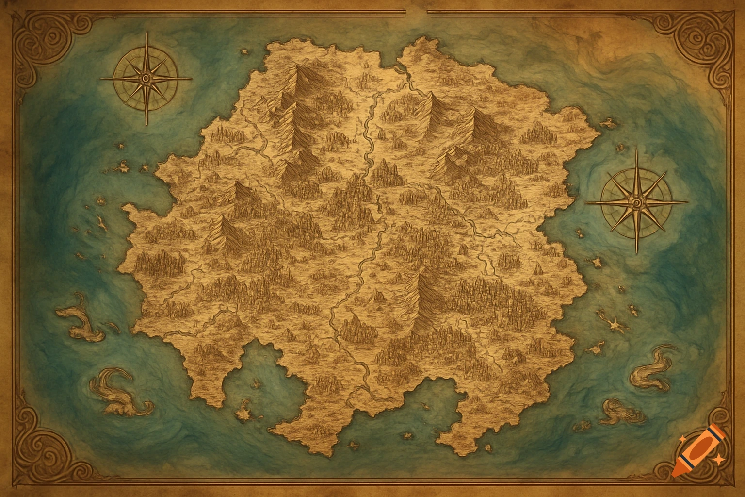
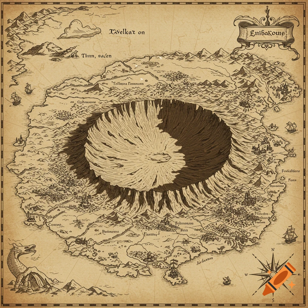
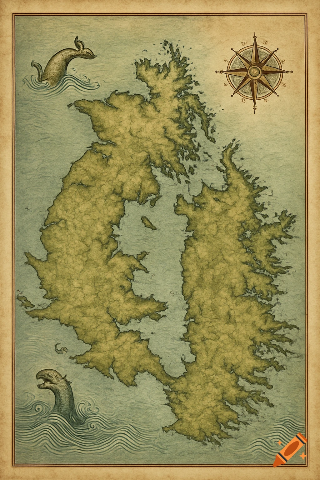
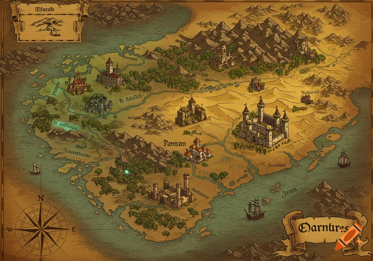
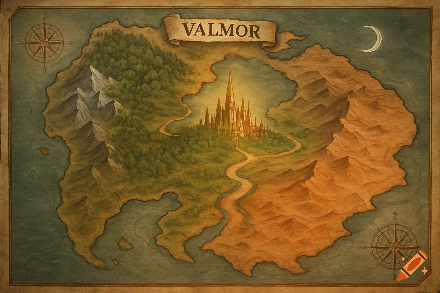
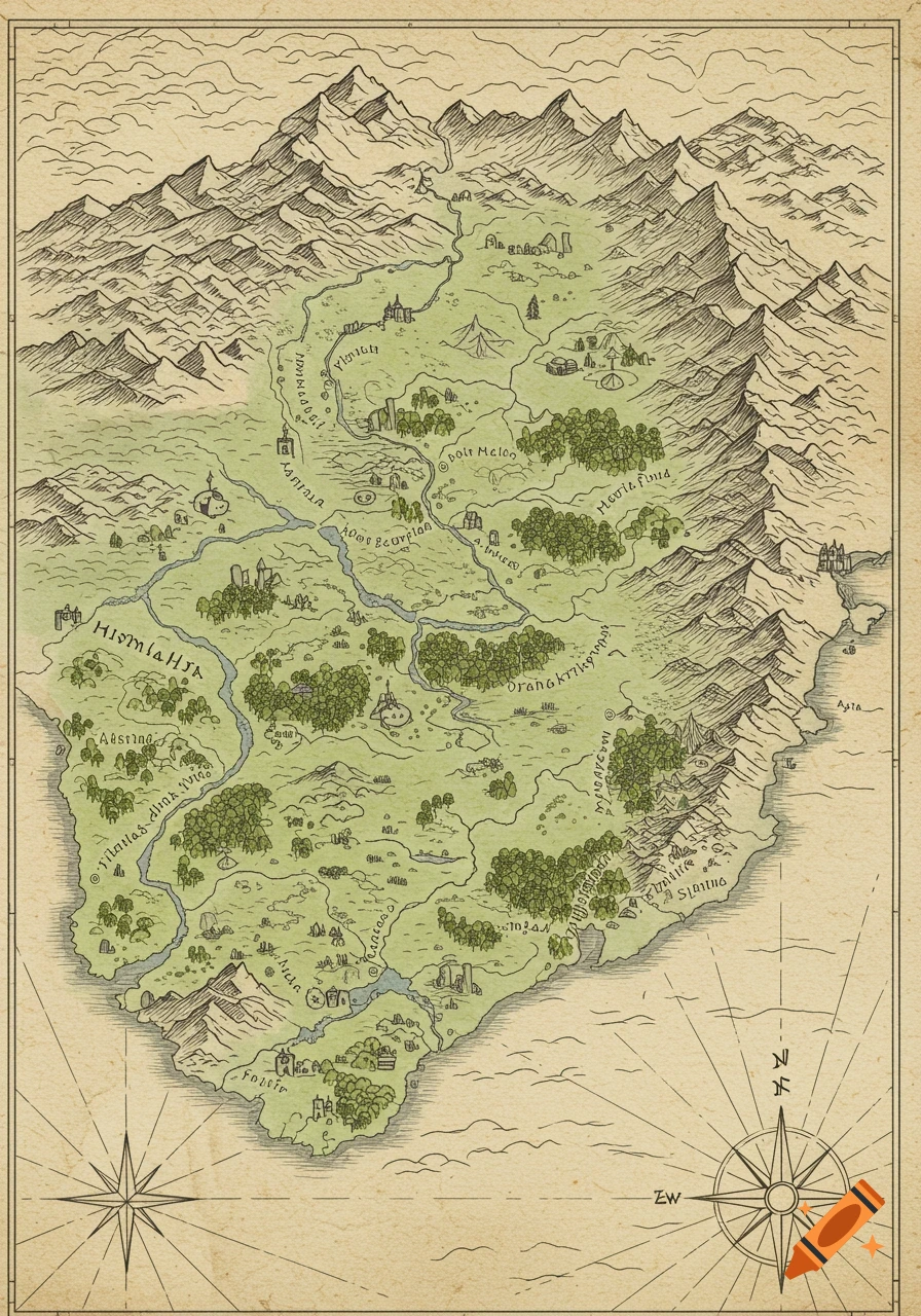
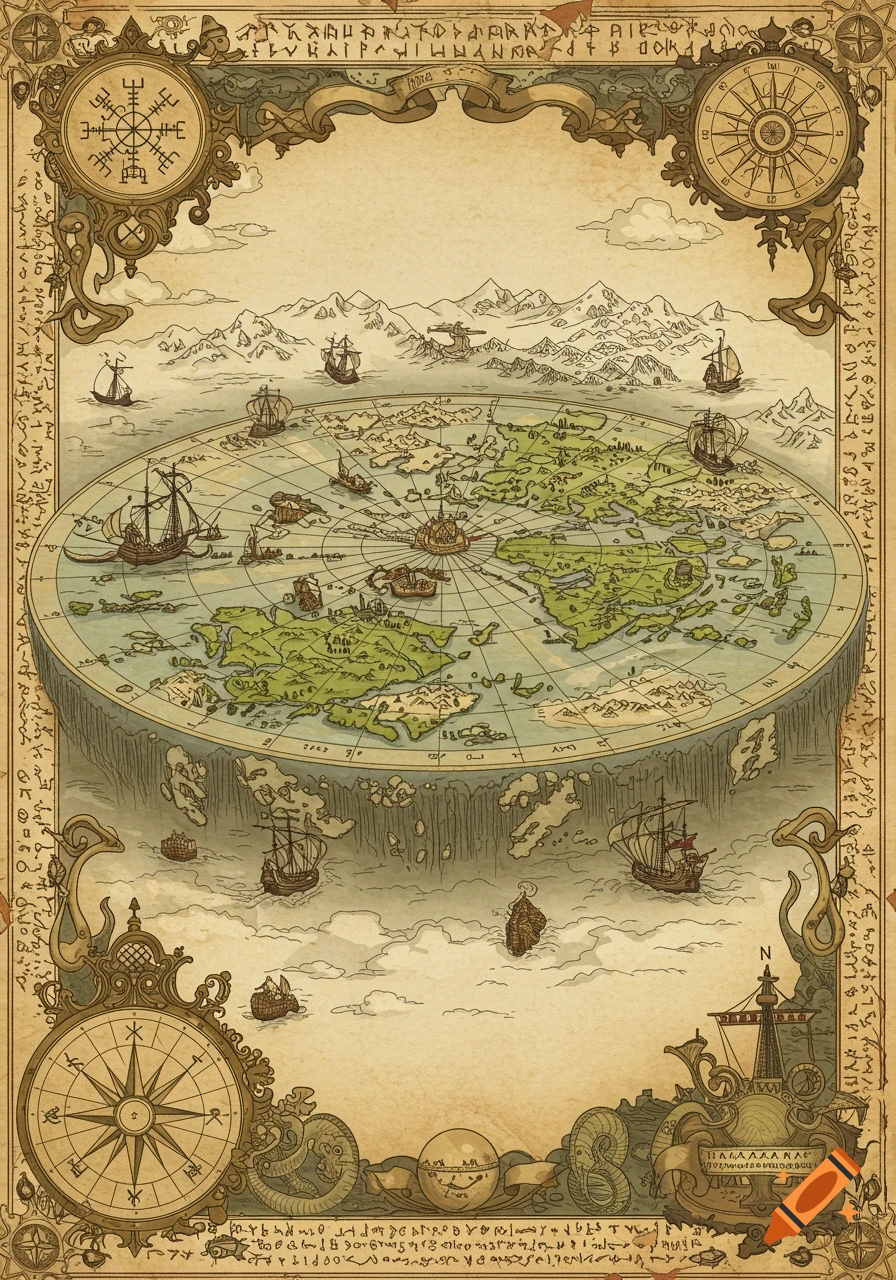
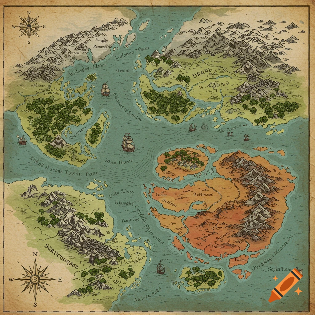
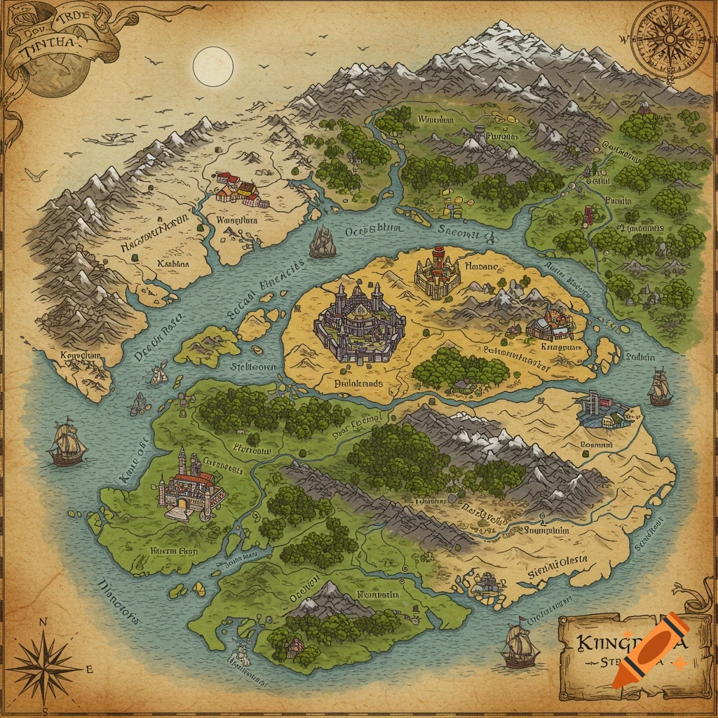
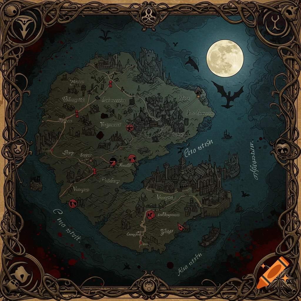
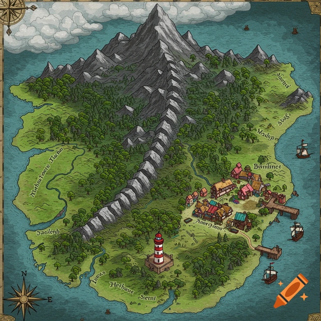
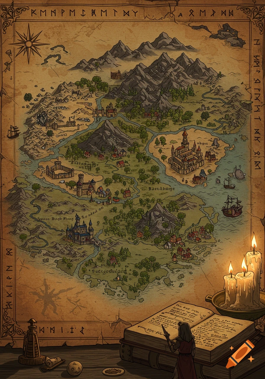
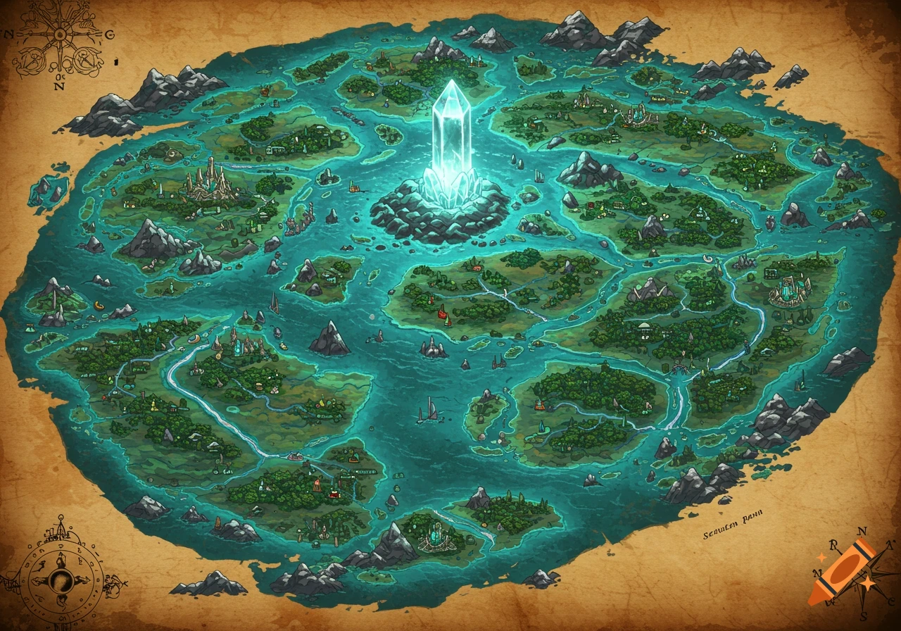
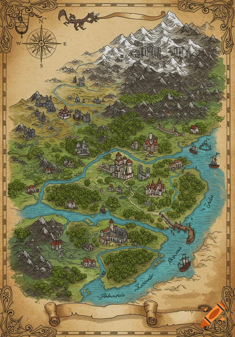
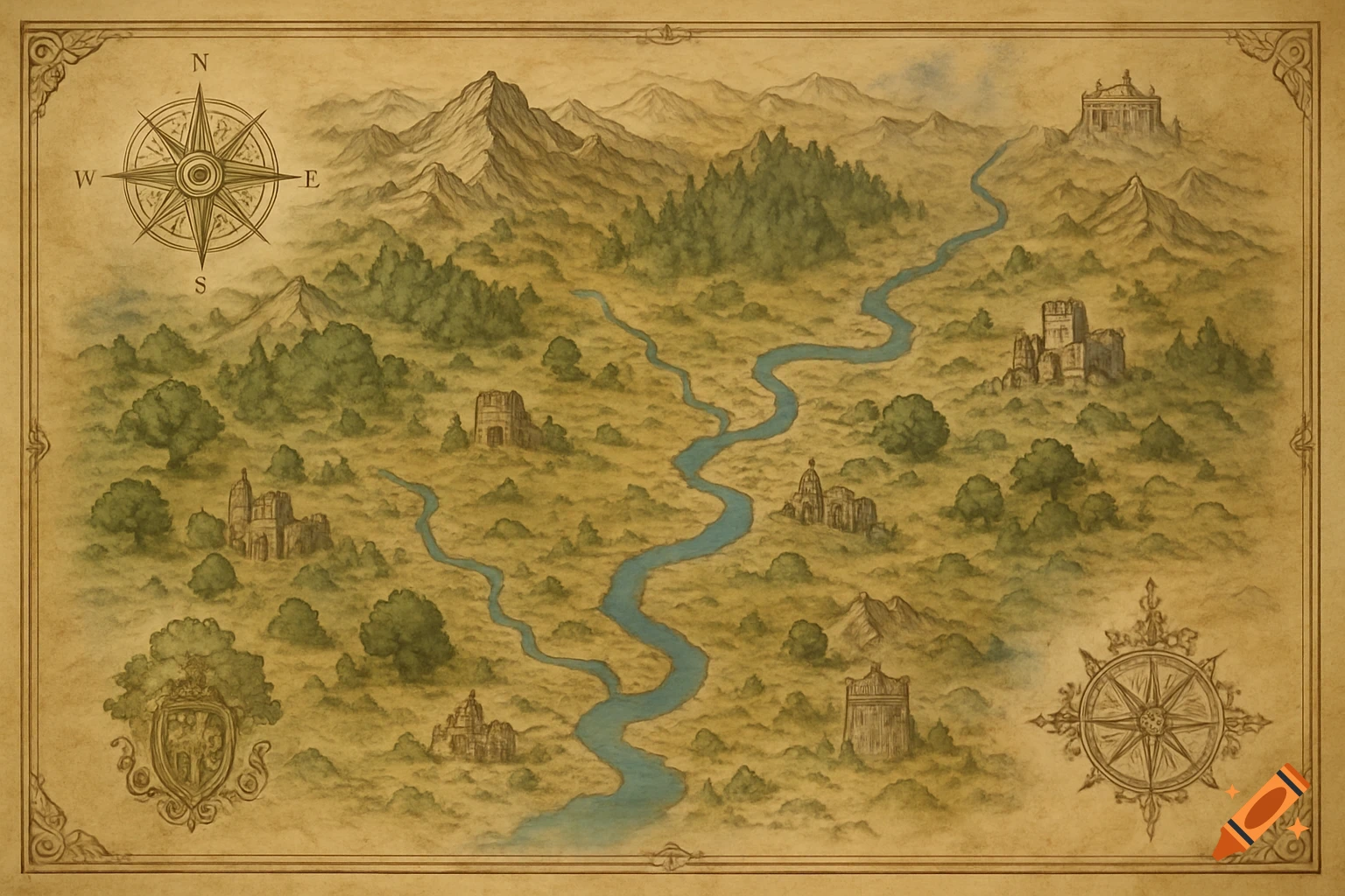
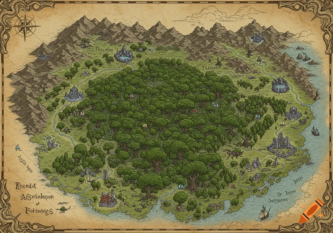
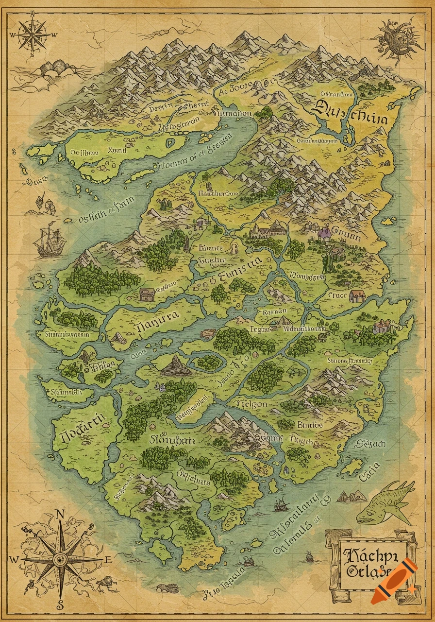
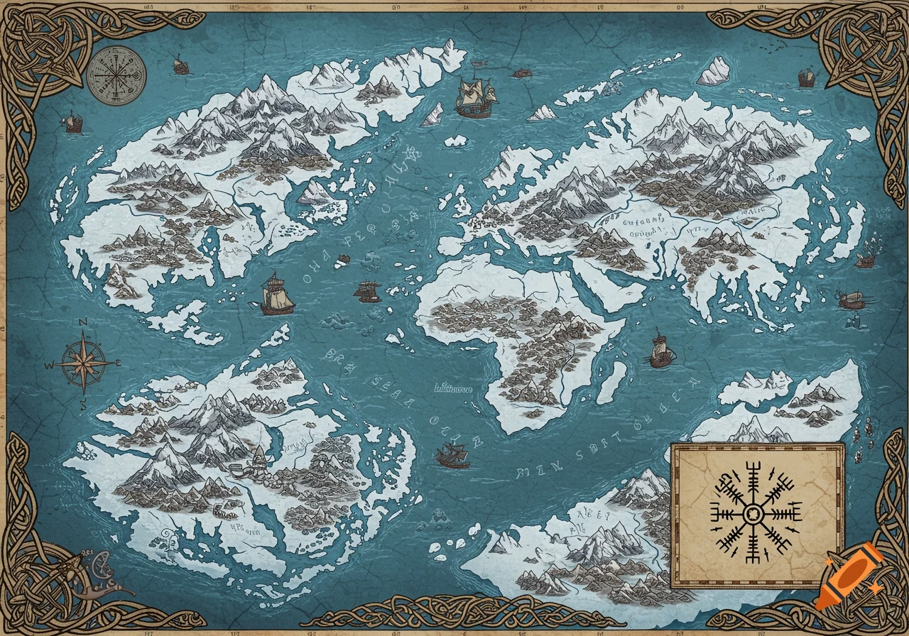
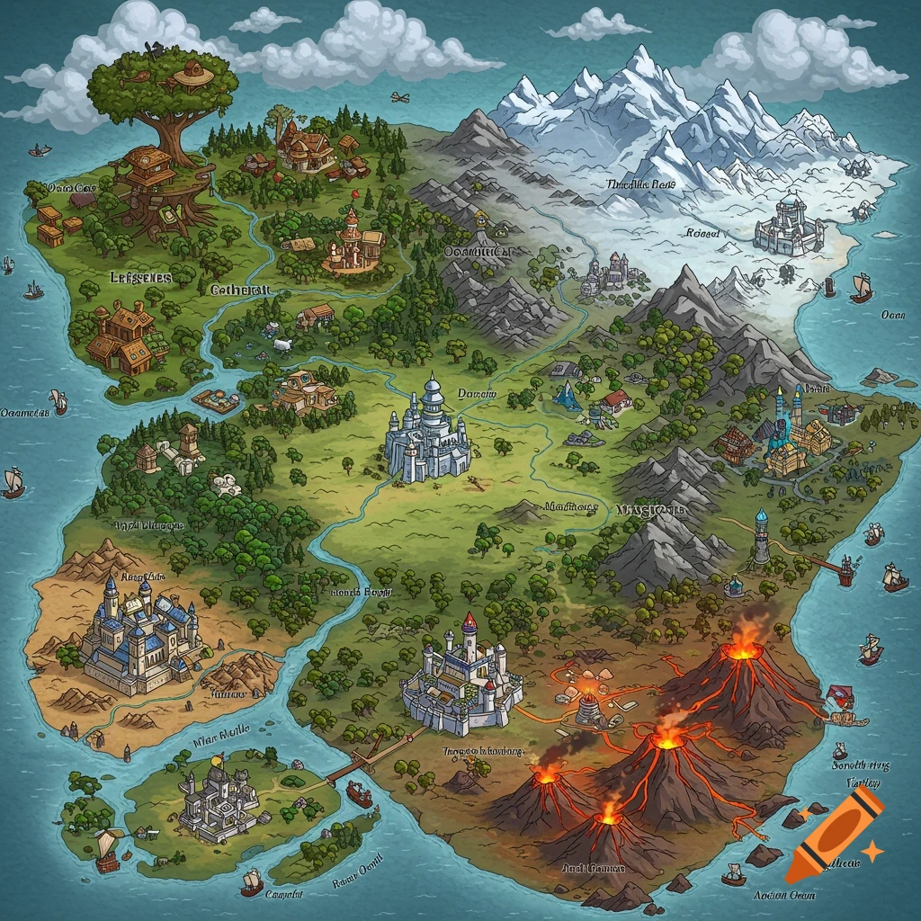
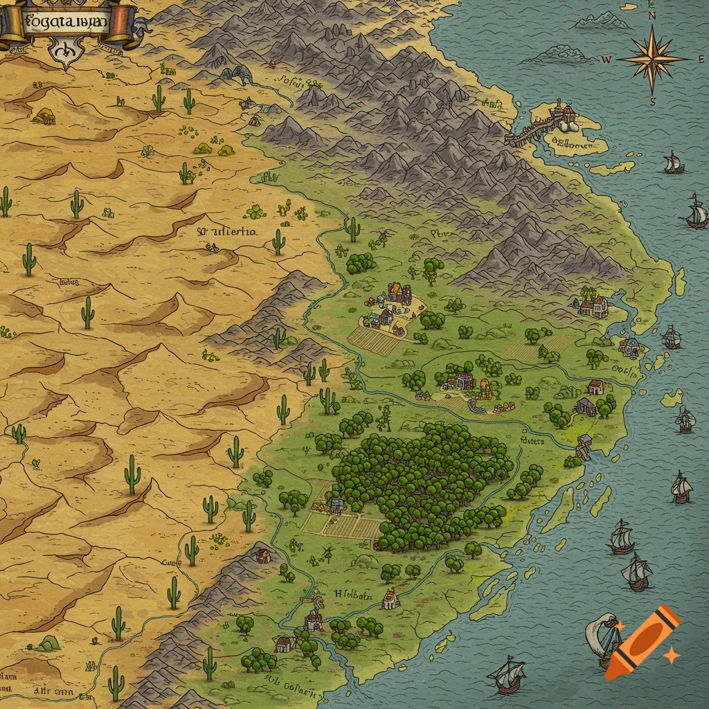
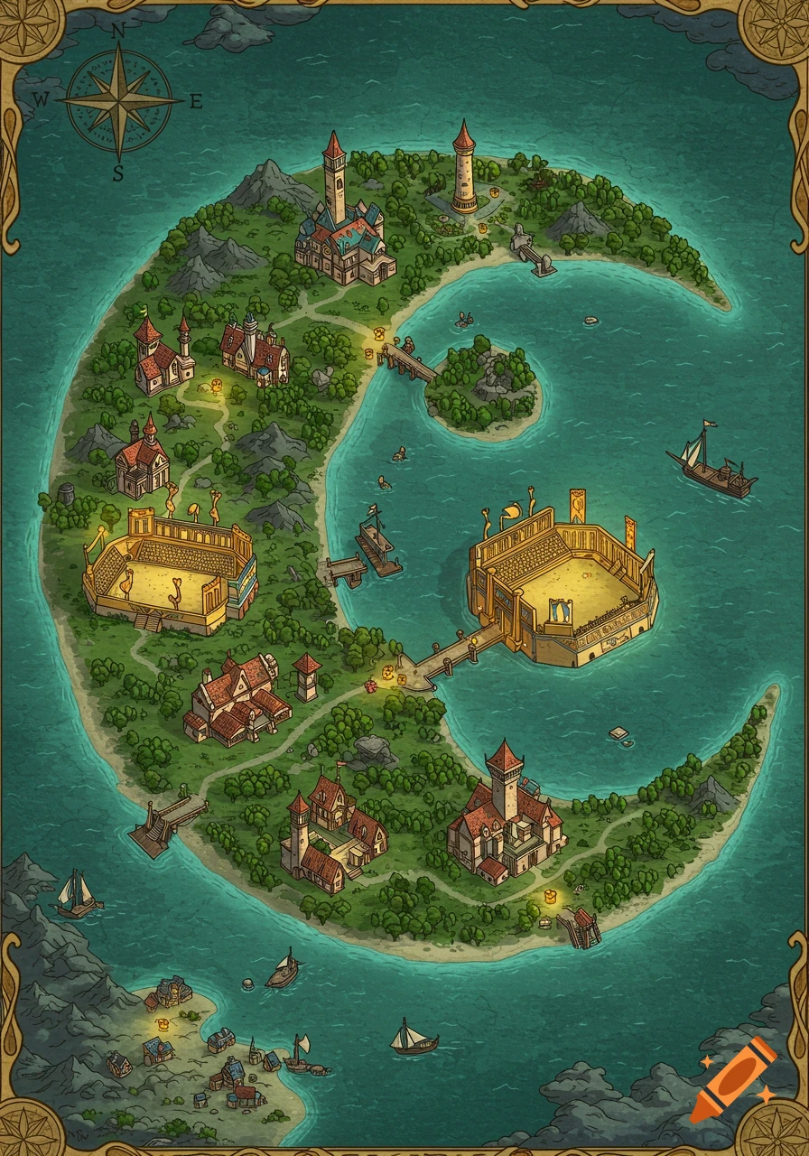
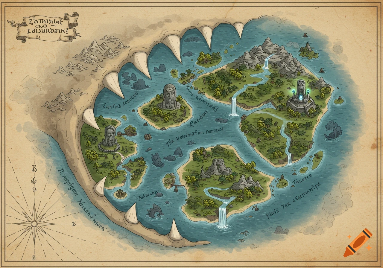
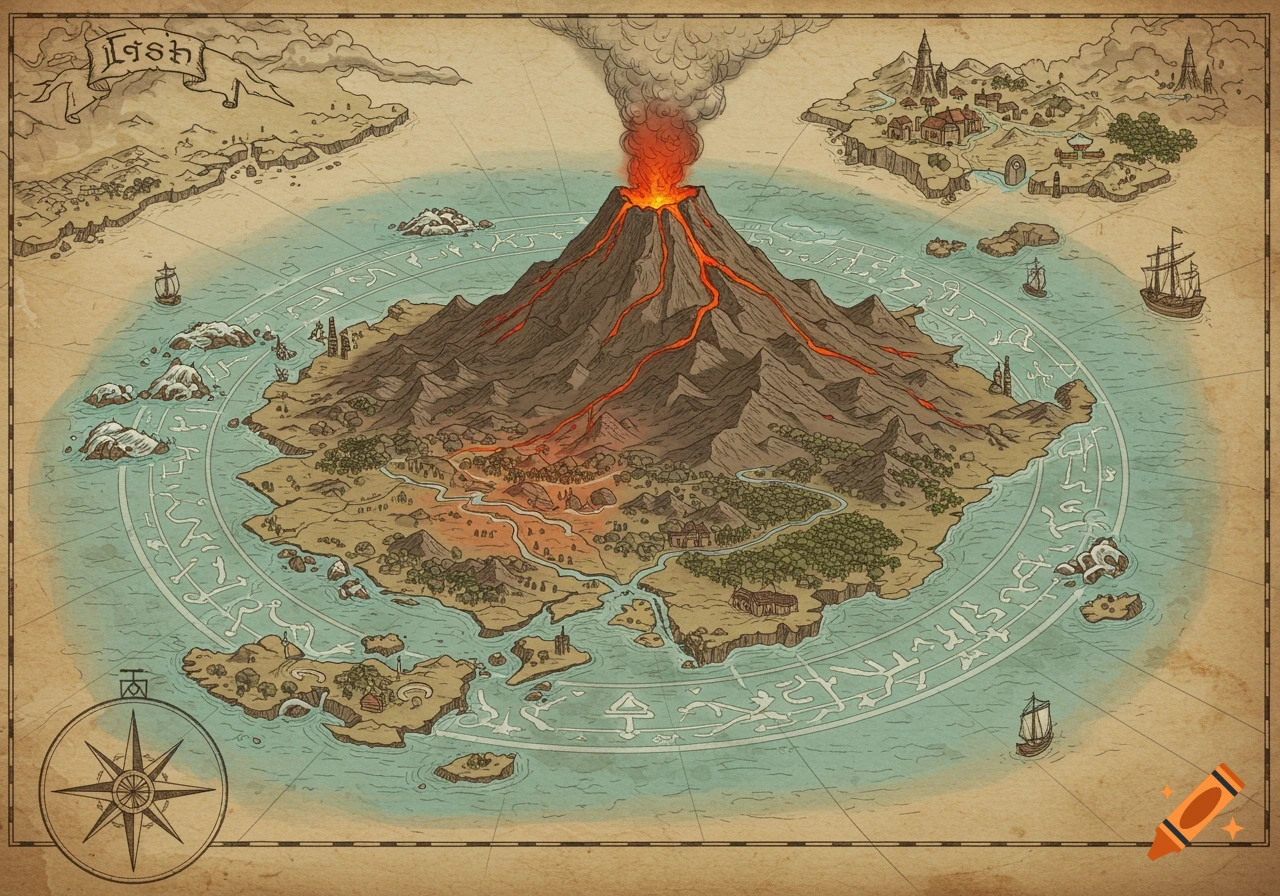
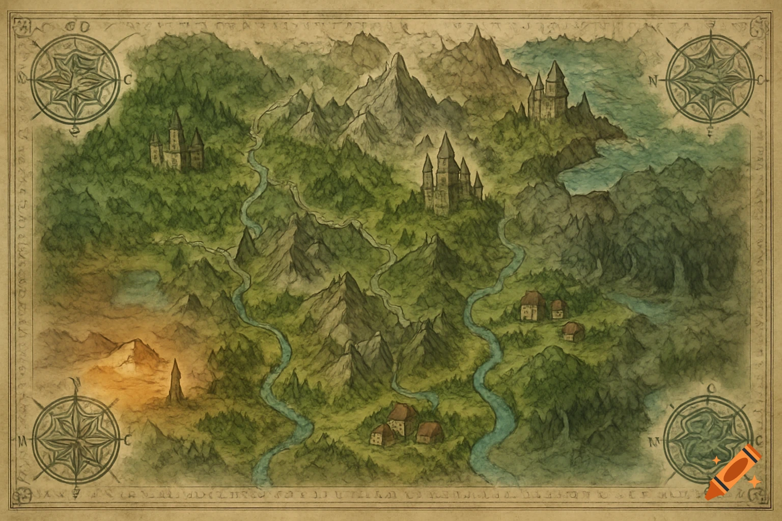
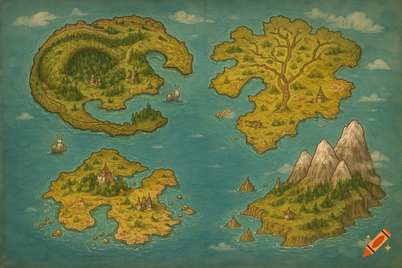
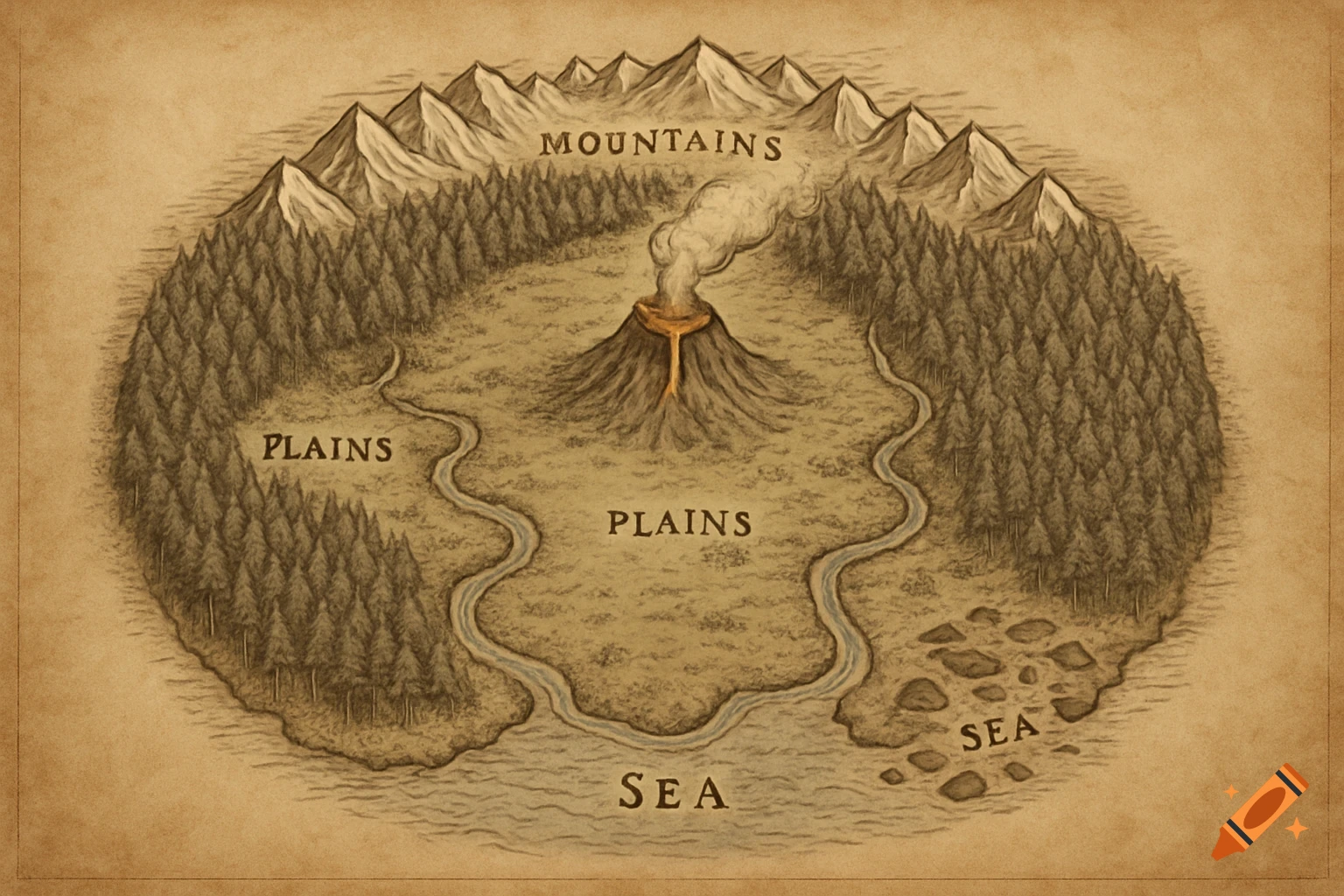
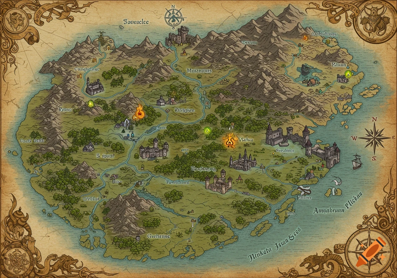
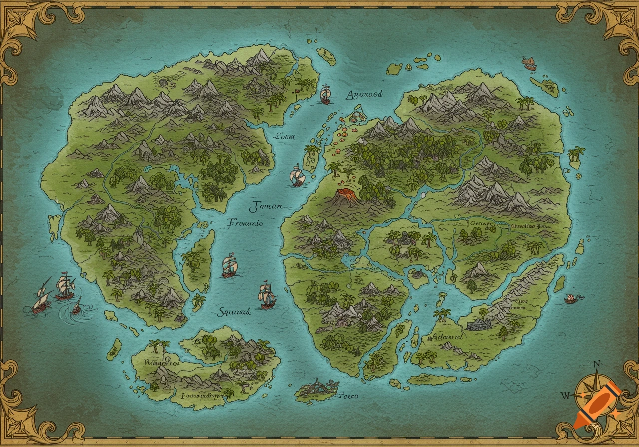
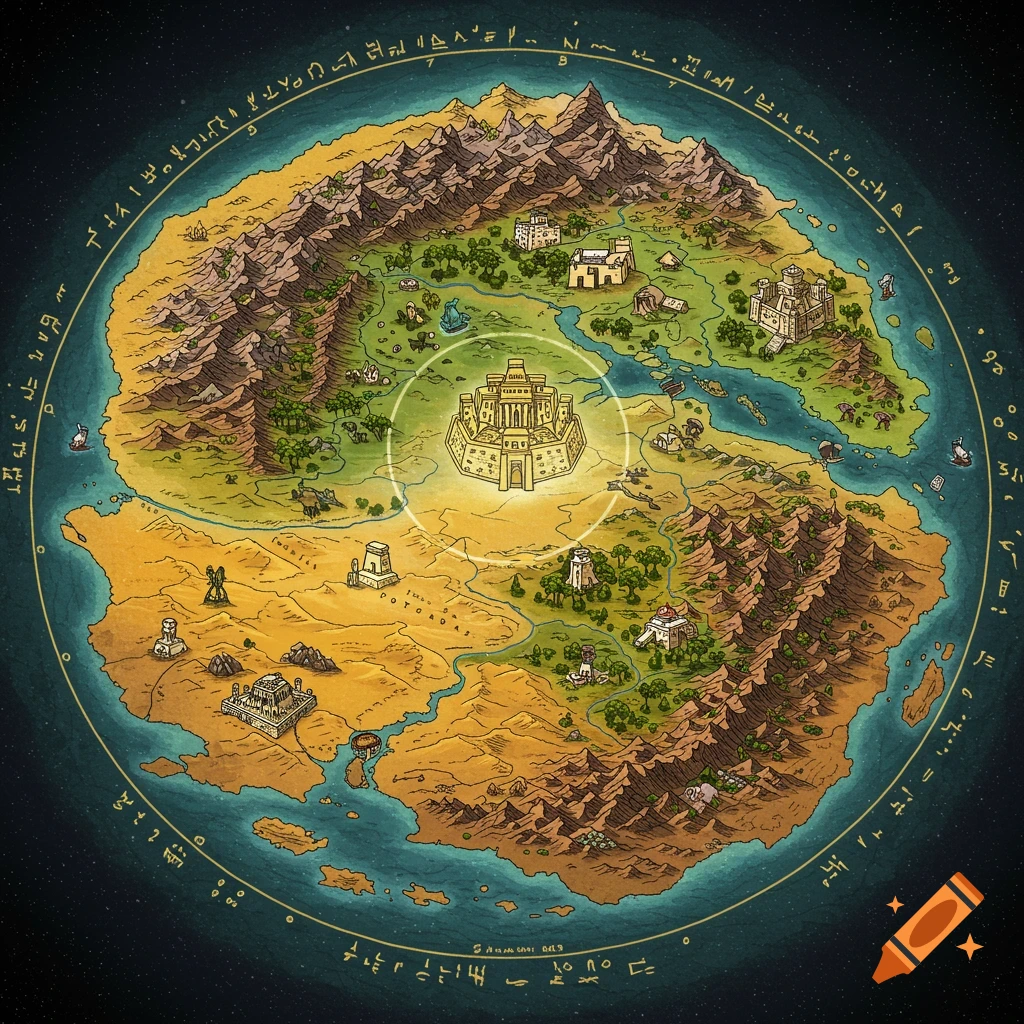
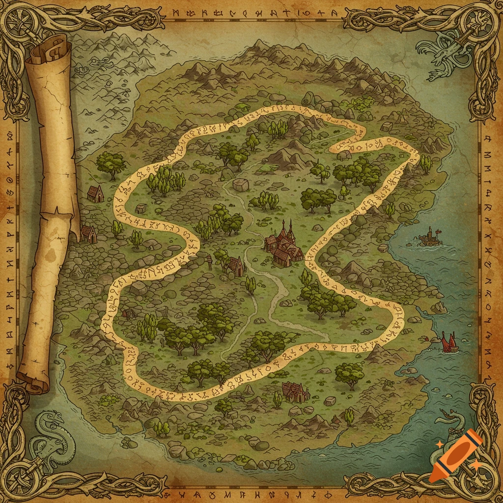
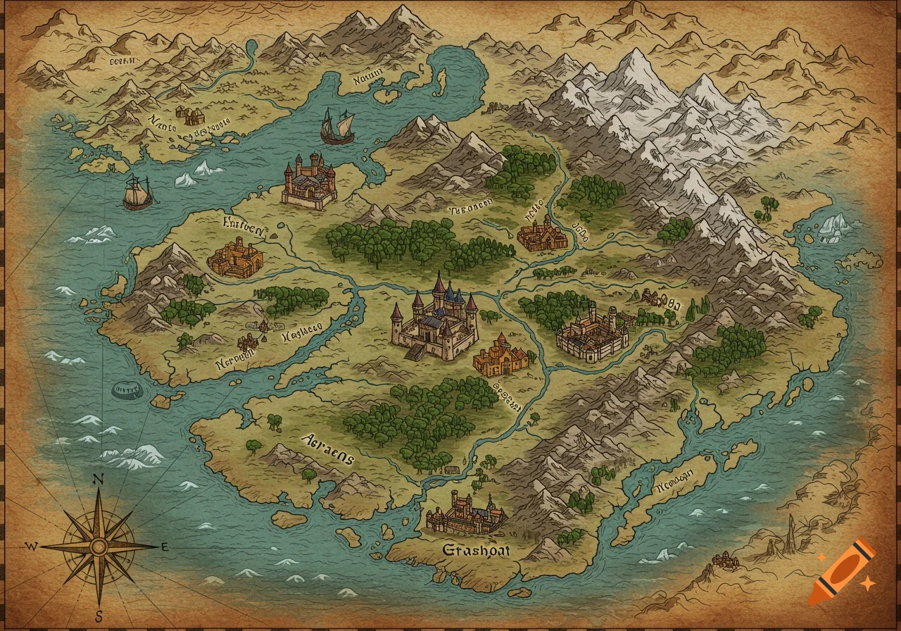
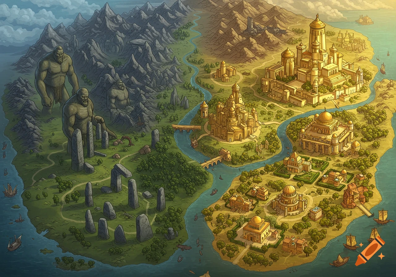
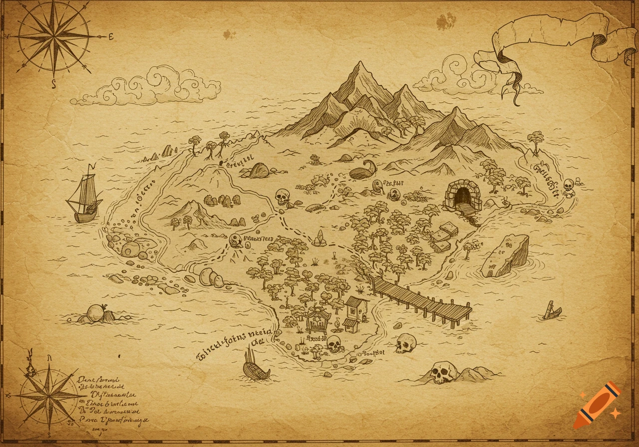
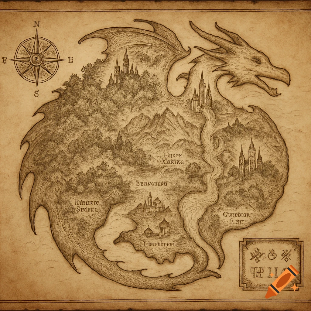
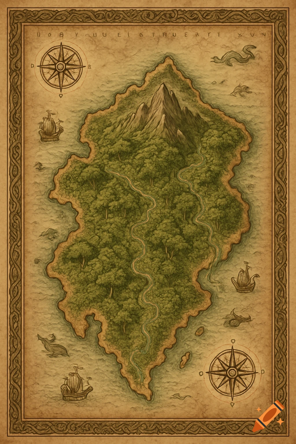
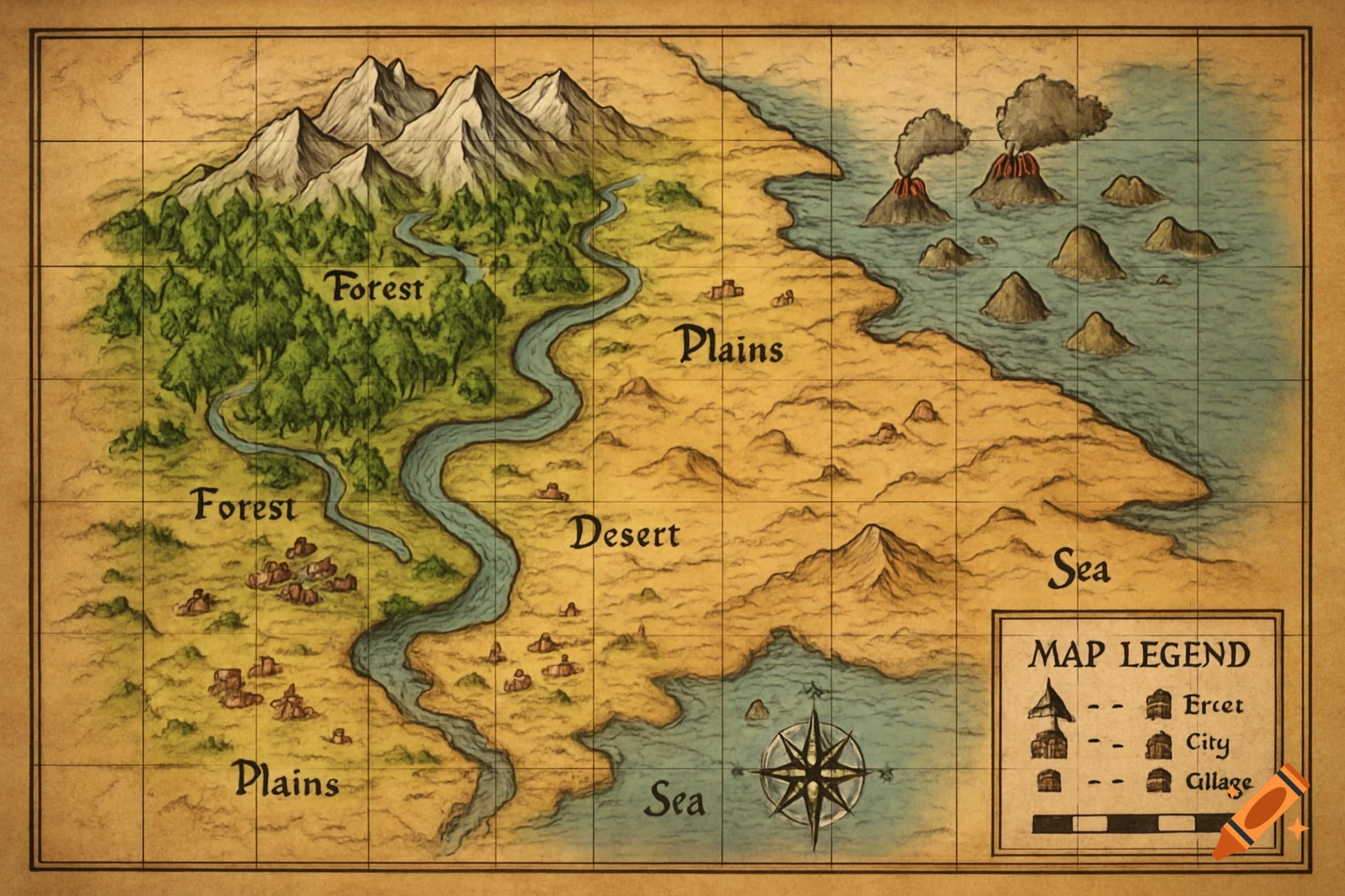
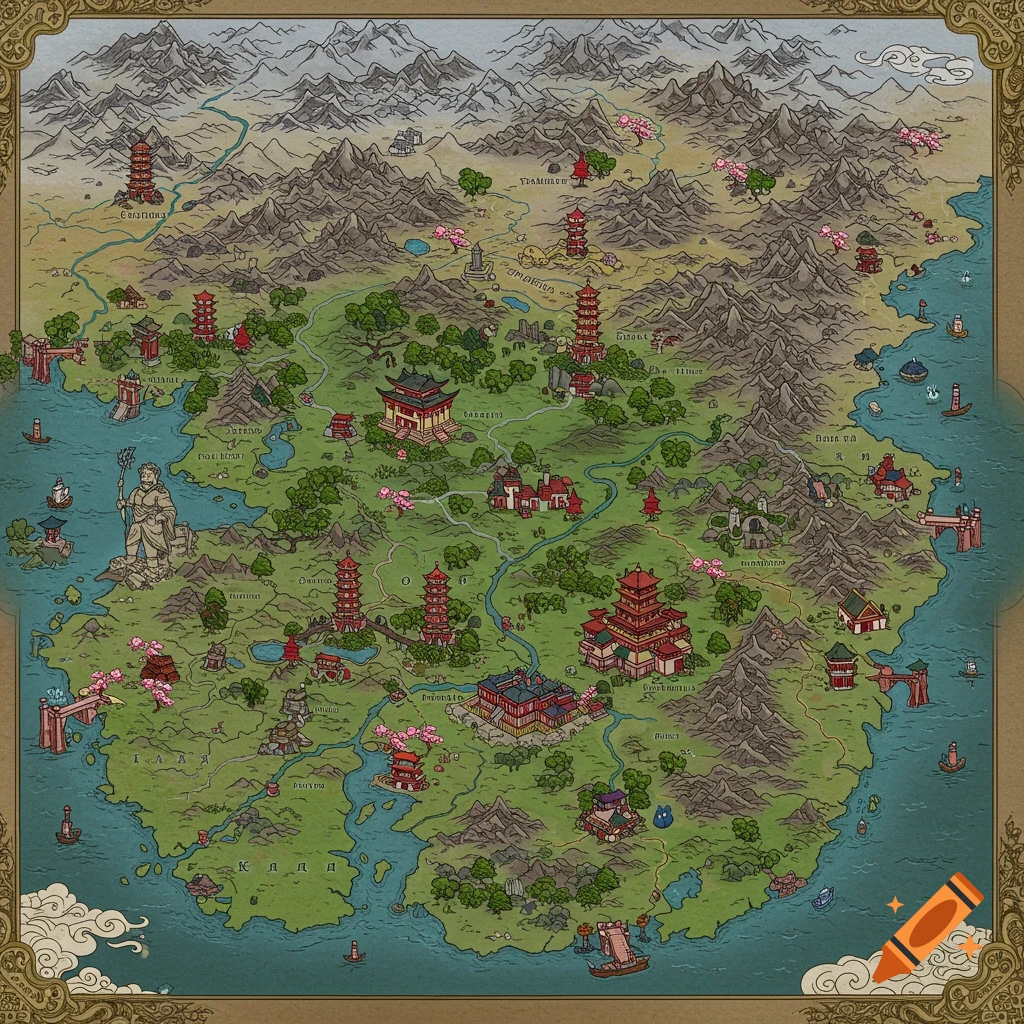
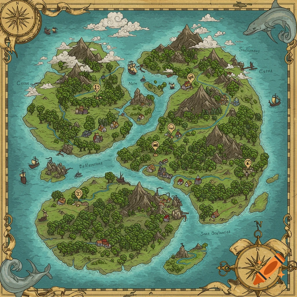
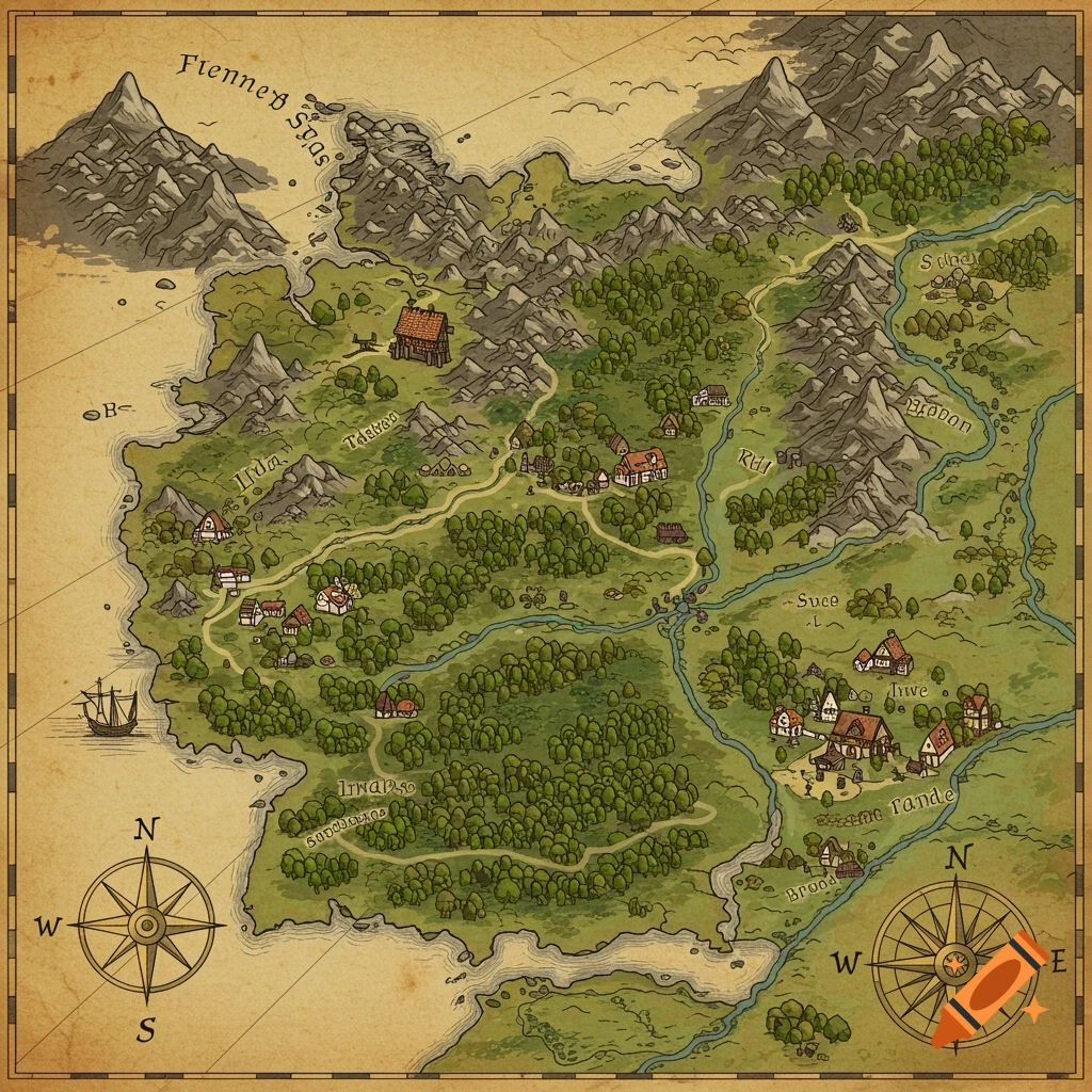
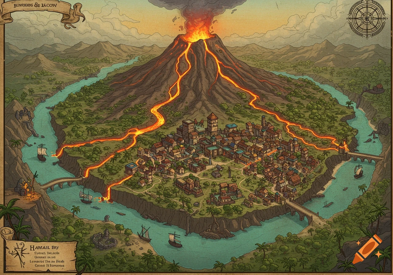
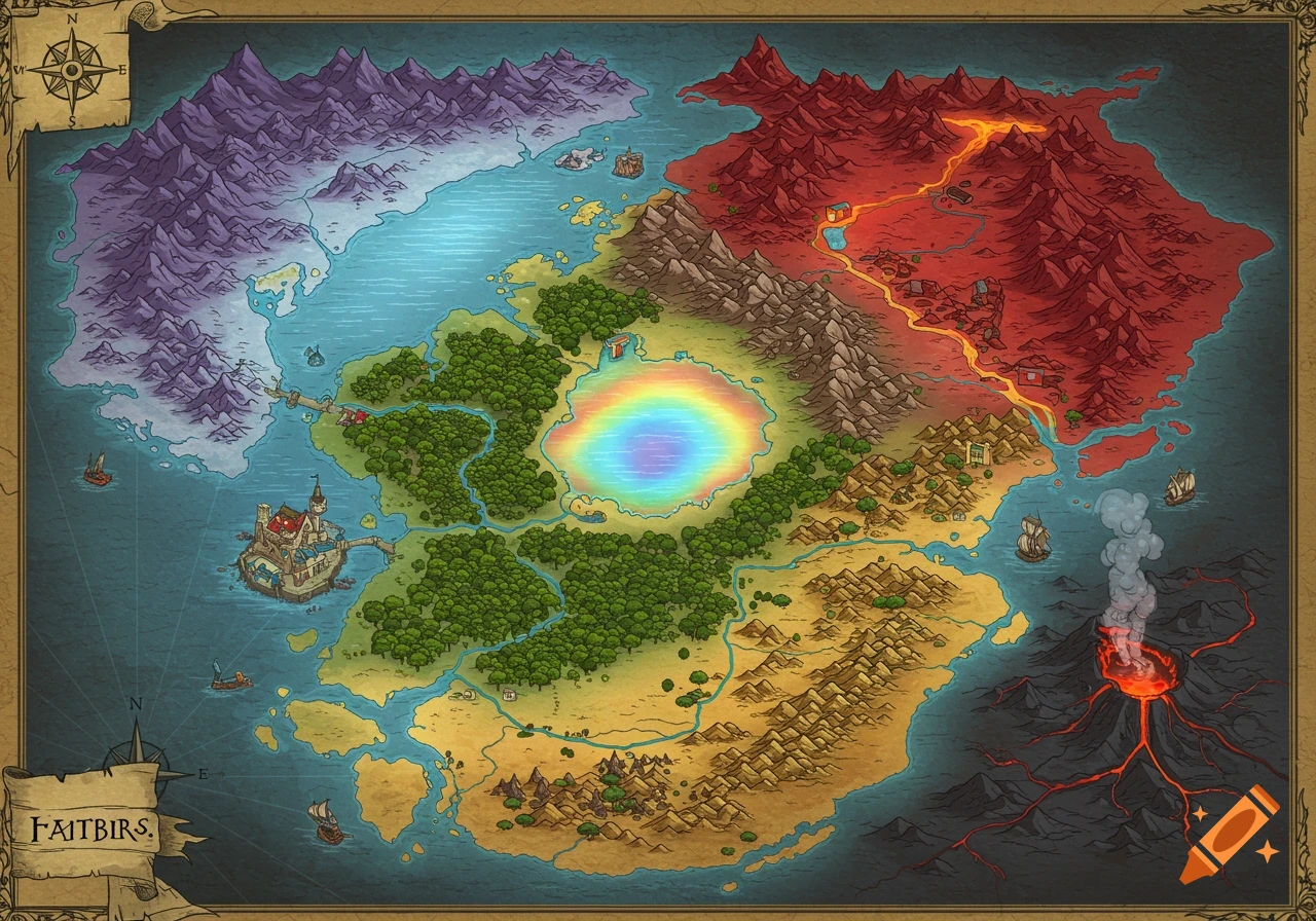
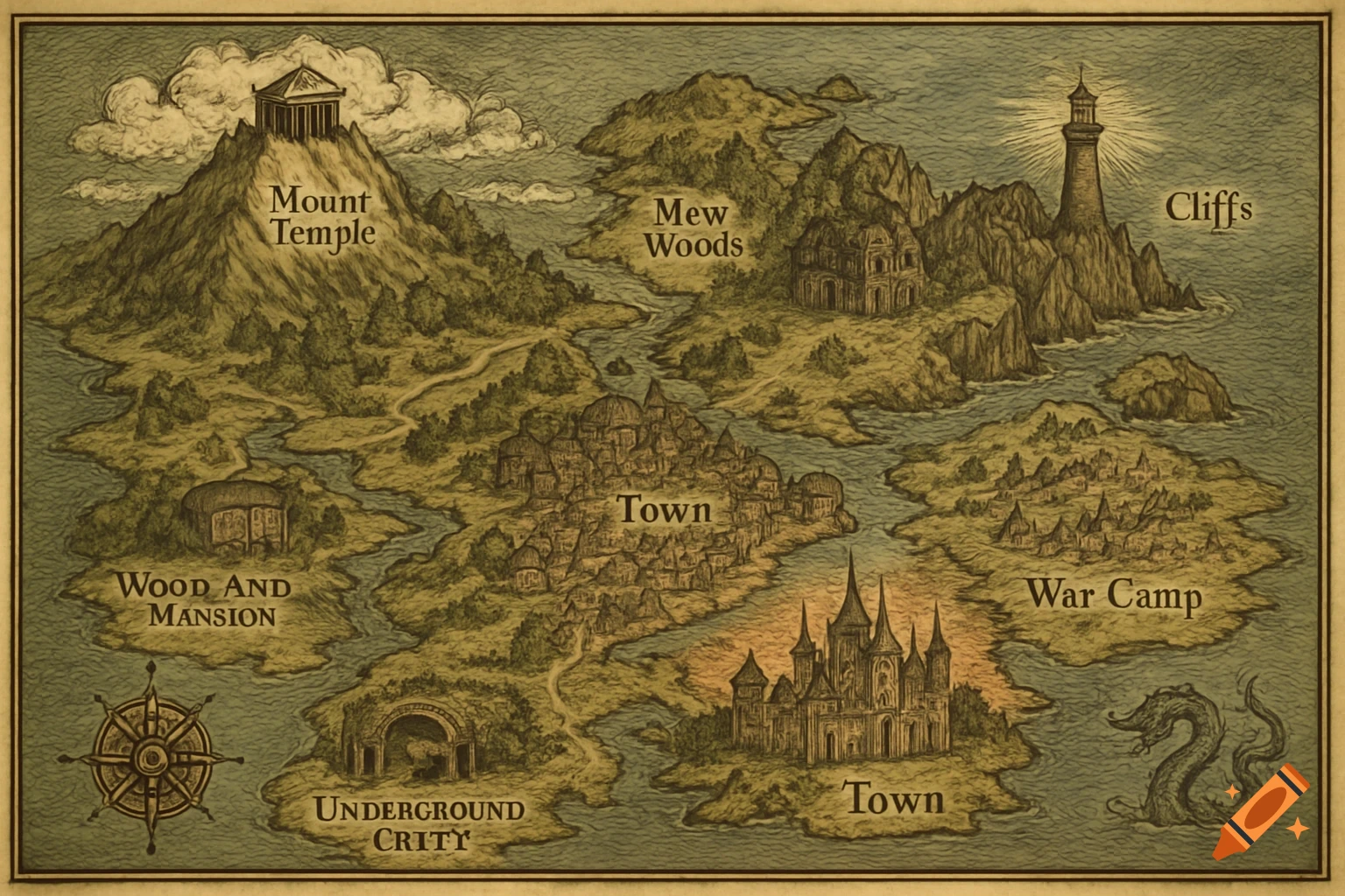
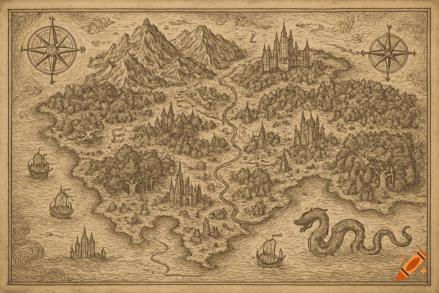
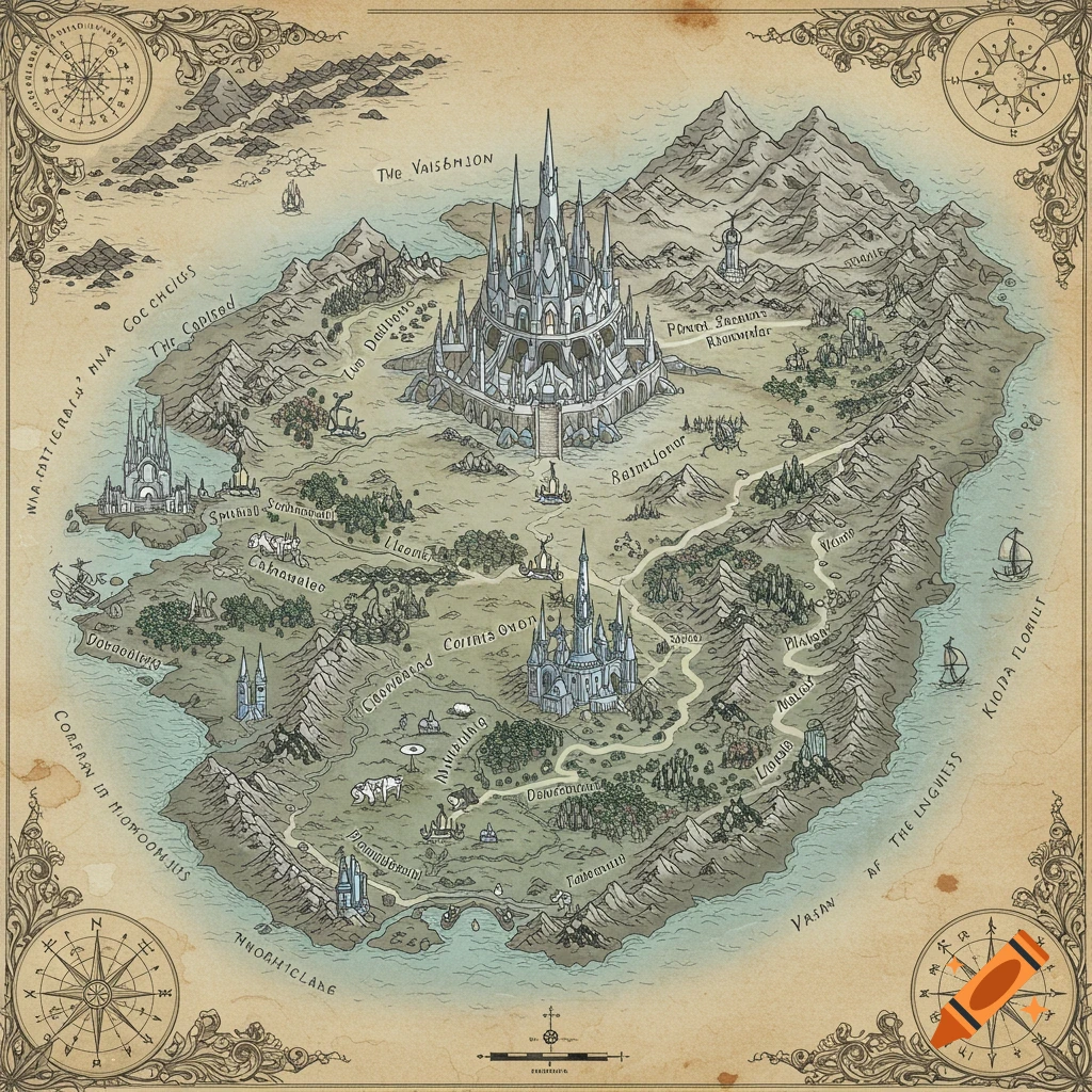
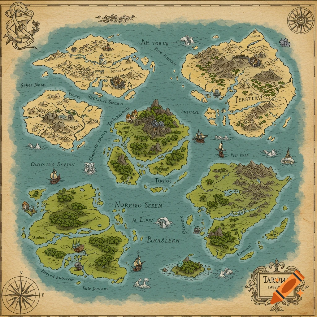
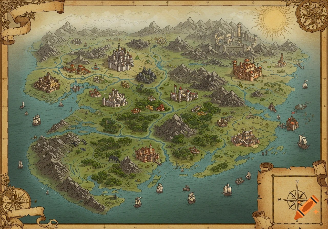
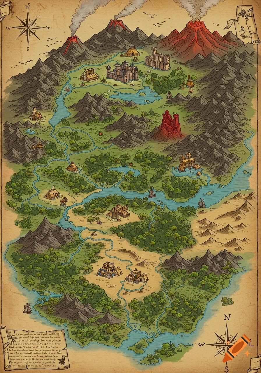
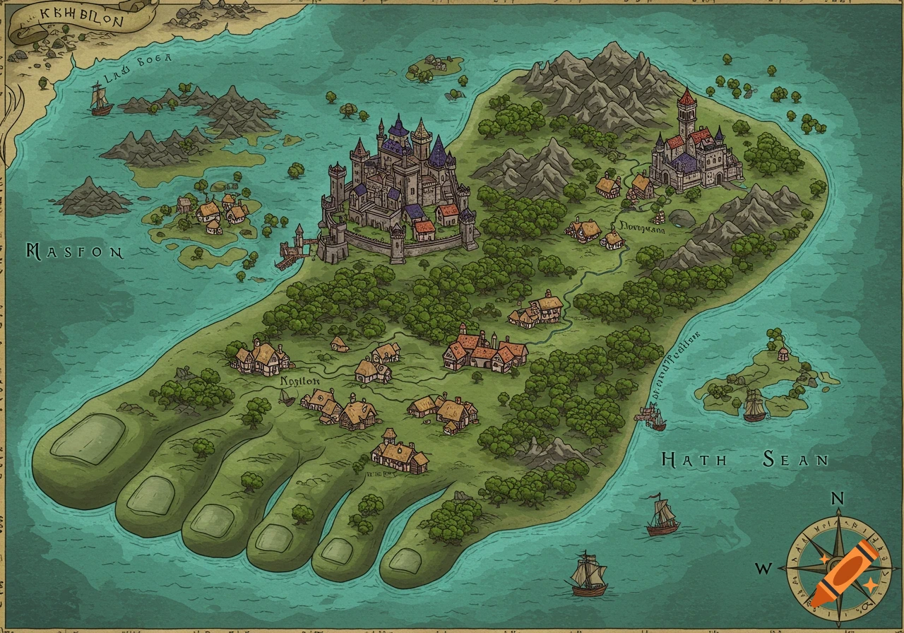
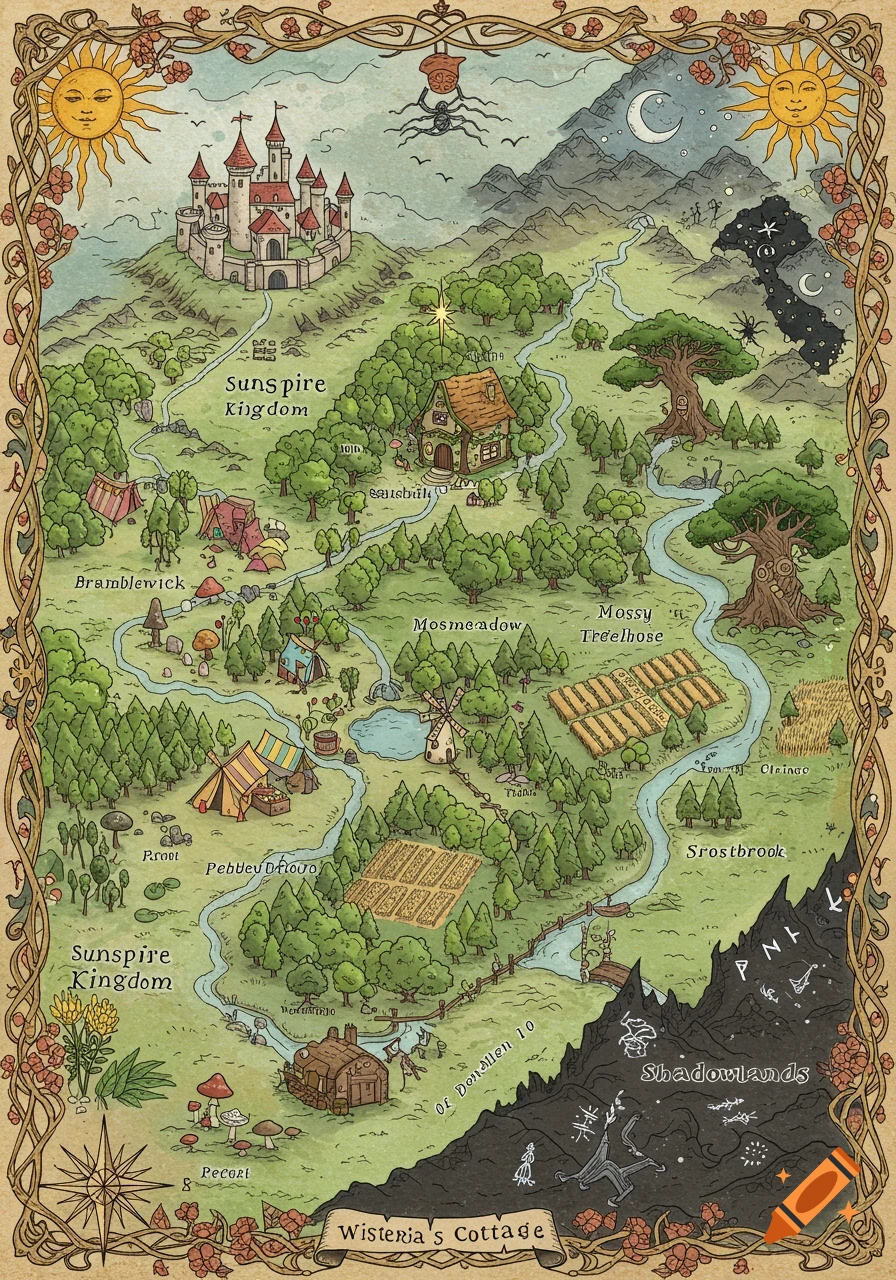
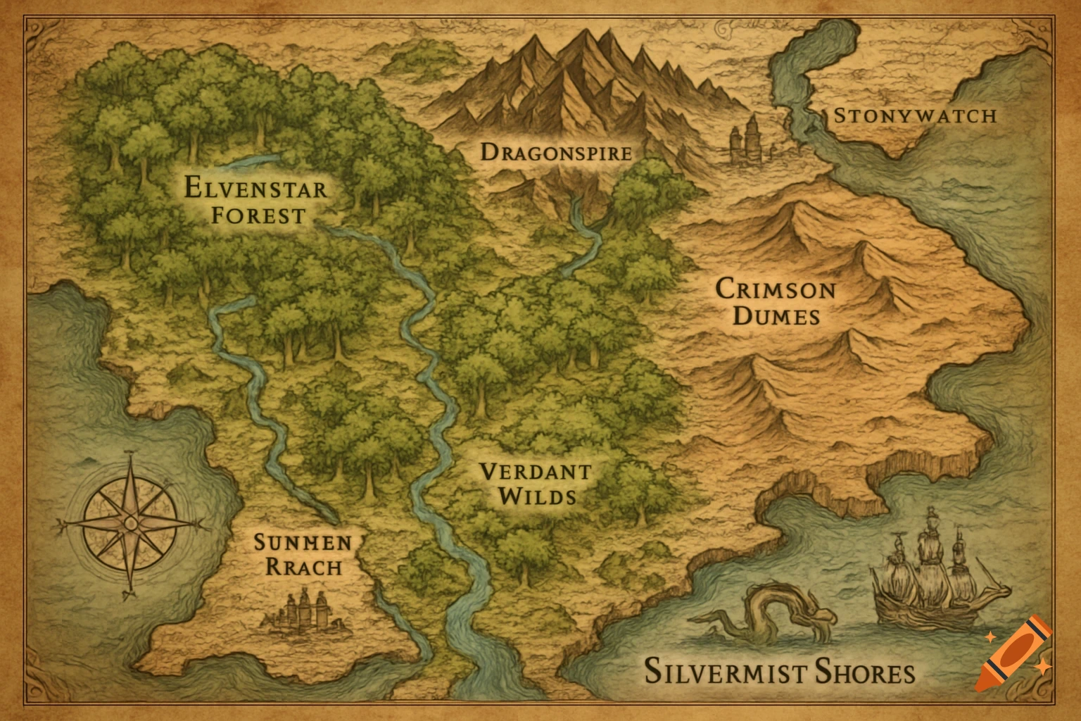
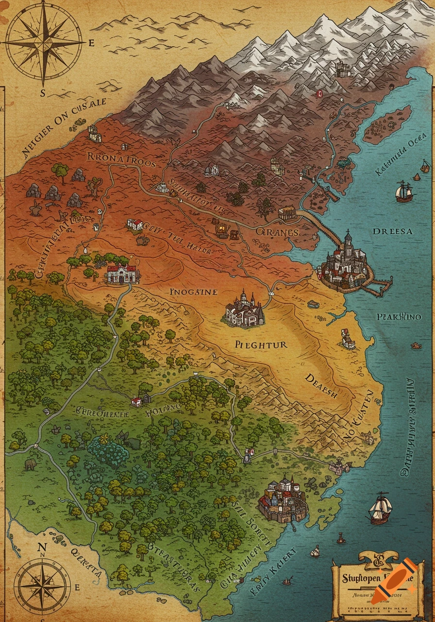
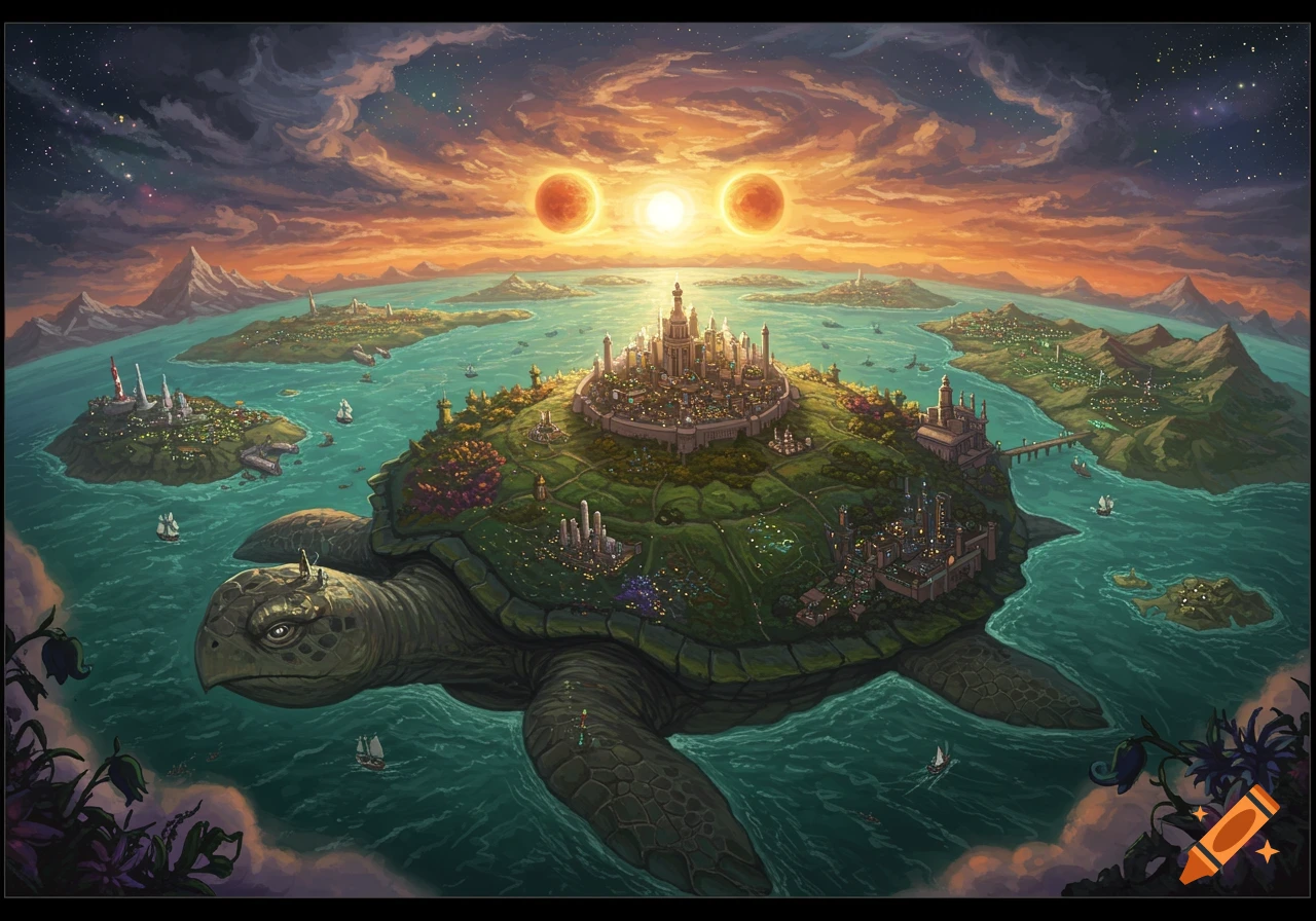
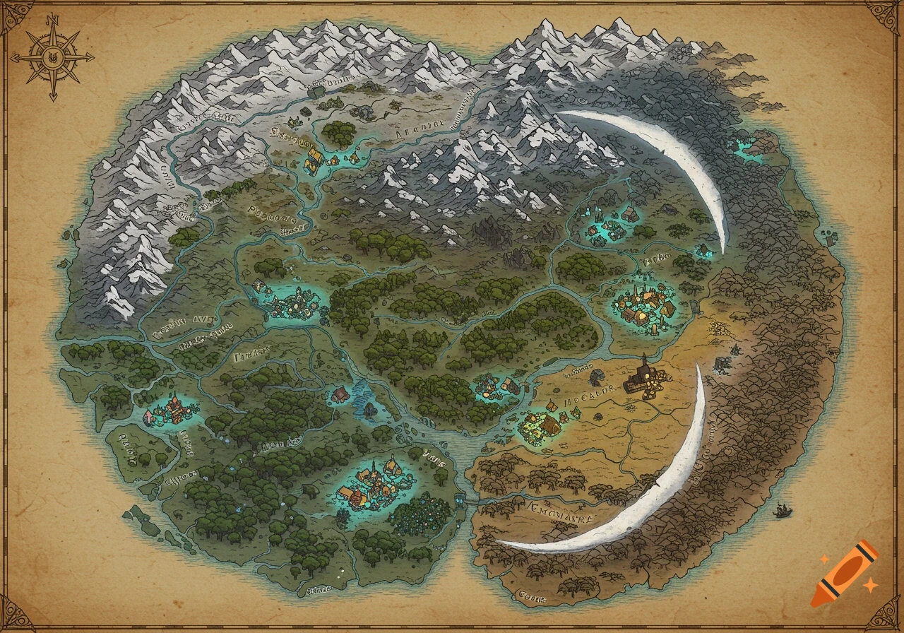
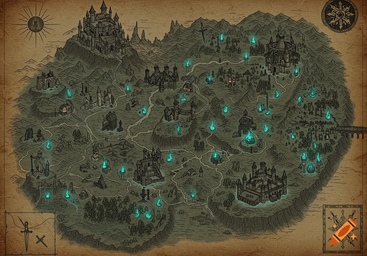
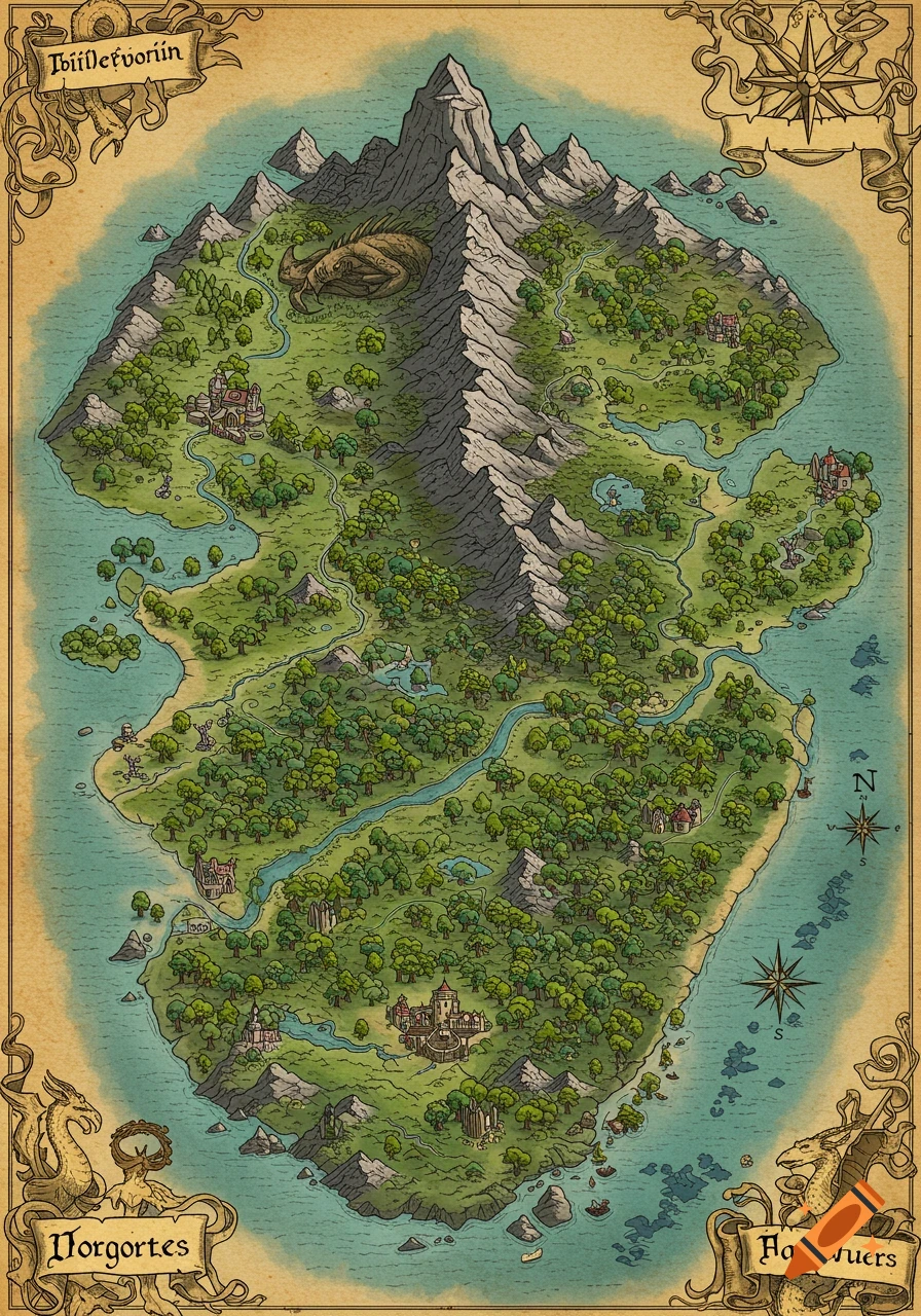
A detailed, old-style fantasy map of the Niraikanai Archipelago, showing named islands, landmarks, rough seas, and a compass rose.

Create a detailed fantasy archipelago map called “Niraikanai Archipelago” located in a dangerous ocean region (Dragon’s Triangle / Devil’s Sea). The archipelago should be roughly the size and spacing of the Falkland Islands, with major islands hours apart by boat. The climate is tropical marine with frequent fog banks and storms. LAYOUT: - One central large main island named “Niraikanai Prime” - A ring chain of 6 major islands surrounding it at varying distances - Many smaller islands, islets, reefs, and sea stacks scattered around (dangerous navigation) - The overall shape should look like a broken ring around the central island MAJOR ISLANDS (place them as follows): - North: “Aogiri” (rugged ridges) - Northeast: “Shirokaze” (has a caldera lake) - East: “Kagami” (basalt cliffs and sea caves) - Northwest: “Namiwake” (storm cliffs and shipwreck coastline) - West: “Kurose” (leeward bays, black sand beaches) - South: “Hoshikuzu” (low wetlands and lagoons) TERRAIN: - Volcanic island arc geology - High cliffs on north and northwest storm-facing sides - Black sand beaches in west and southwest bays - Sea caves on Kagami and Kurose - One large caldera on Niraikanai Prime - Smaller caldera lake on Shirokaze - Minor hot spring areas, fumaroles, and sulfur vents (no active lava flows) OCEAN: - Rough seas, dangerous currents, fog banks - Reefs and shallow shelves around the island chain LANDMARKS (map symbols/labels): - Mark a “Buried Reef Hub” on Niraikanai Prime (center area) - Mark Voir plus
More images like this