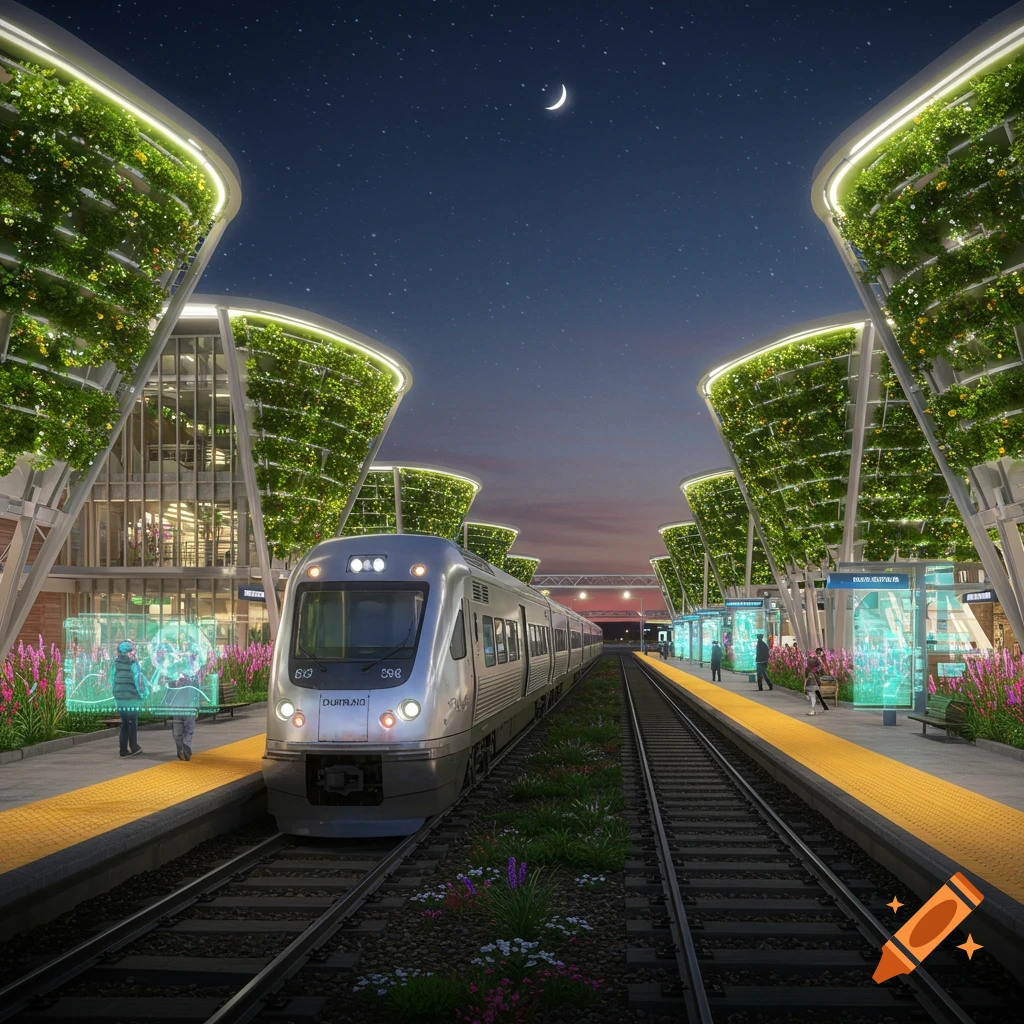
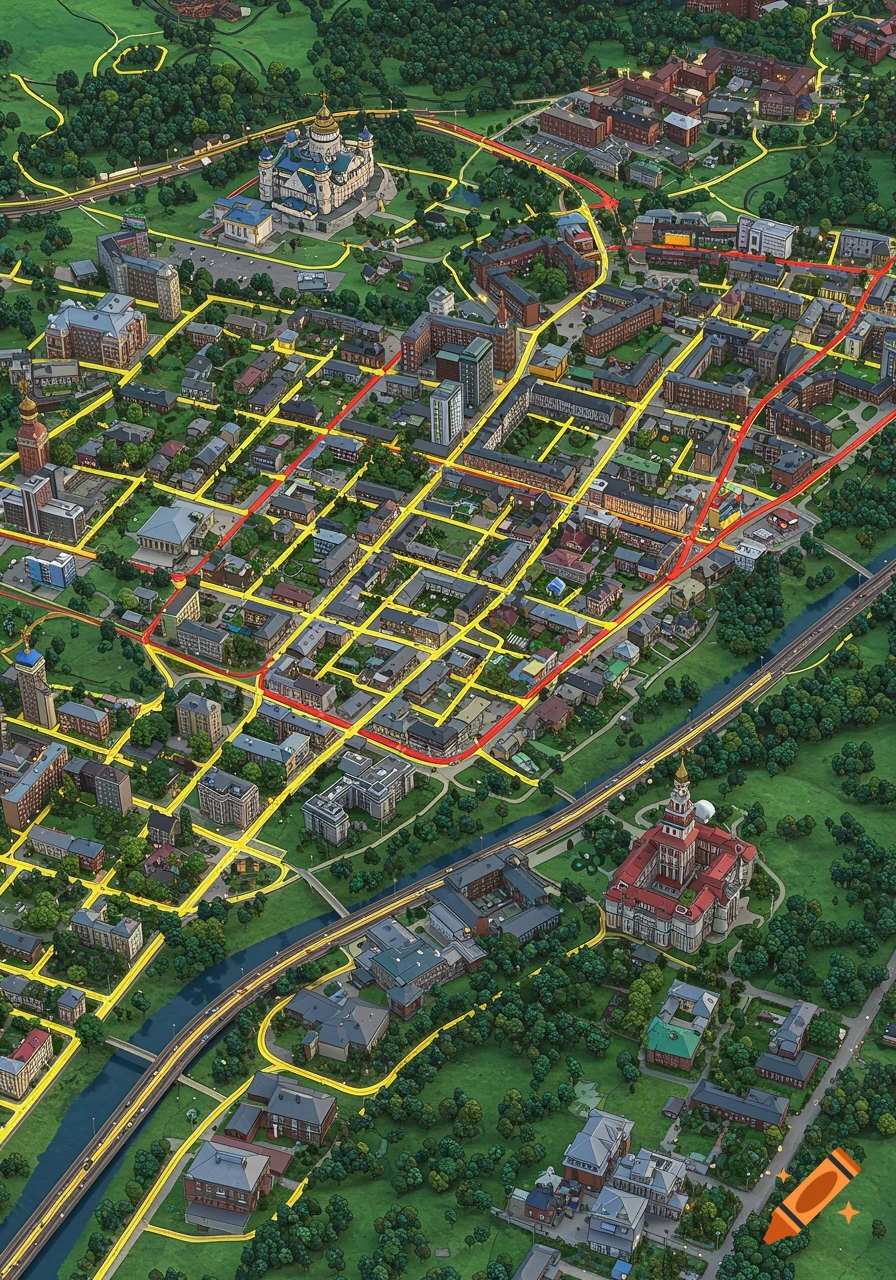
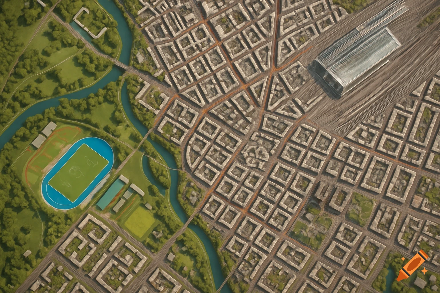
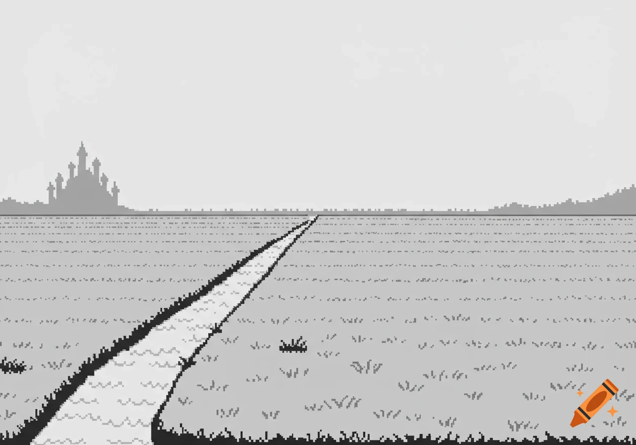
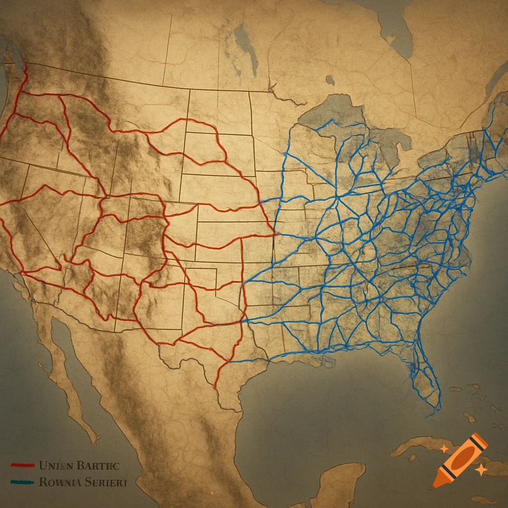
A stylized transportation diagram showing a railroad network with mountains, featuring areas labeled Arlington, Magnolia Center, and Riverside with some garbled text.

The image is essentially a **linear east-west transportation diagram** with a dense urban knot in the center-right. ### Overall Proportions * Aspect ratio approximately **2.3:1** * Very wide horizontal composition * Arlington occupies roughly the left 35% * Magnolia/Victoria corridor occupies the middle 25% * Downtown Riverside occupies the right 40% ### Transportation Structure The red alignment behaves like a model railroad mainline: #### Western Segment (Arlington) * Long uninterrupted corridor * Slight diagonal trajectory * Minimal branching * Functions as the "mainline approach" This section would translate extremely well into an HO or N-scale track plan. #### Central Segment Near Magnolia Center: * Mainline bends slightly * Several industrial-style spurs emerge * Corridor widens visually * Creates natural scenic opportunities This becomes the transition zone between suburban and urban scenery. #### Downtown Segment The eastern third contains: * Dense branching * Multiple junctions * Parallel alignments * Loop-like movements * Street-running opportunities This resembles: * Pacific Electric street trackage * Interurban switching districts * GTA-style downtown road networks * Compact model railroad terminal districts --- # Topographic Features The shaded relief visible underneath creates several strong scenic anchors. ### North Fairmount area: * Large hill mass * Elevated terrain * Scenic overlook potential ### South Victoria region: * Elongated ridge * Distinct terrain Voir plus
More images like this