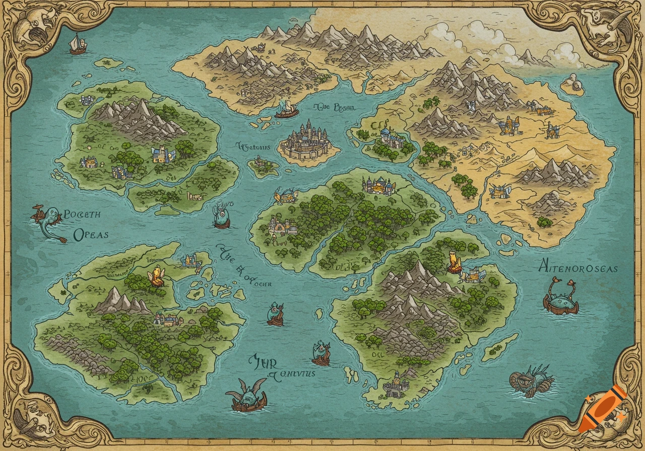
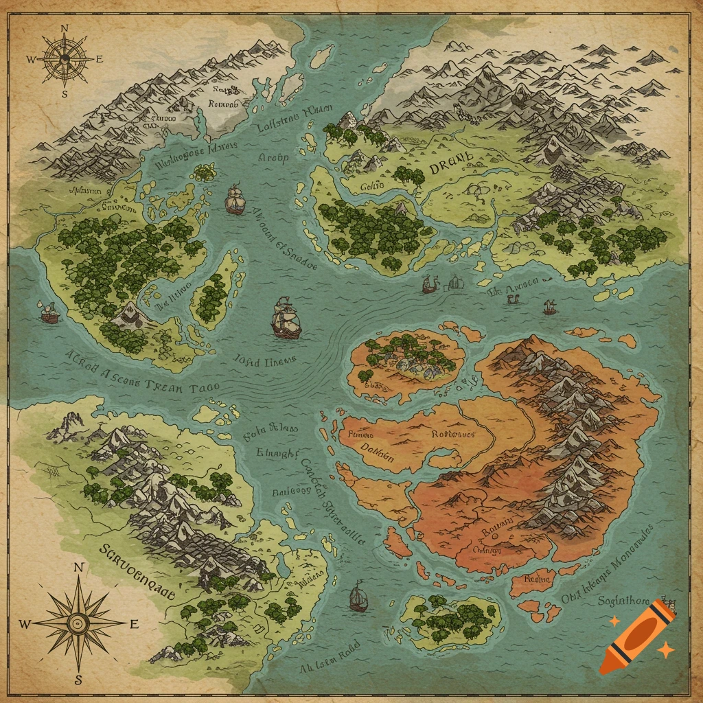
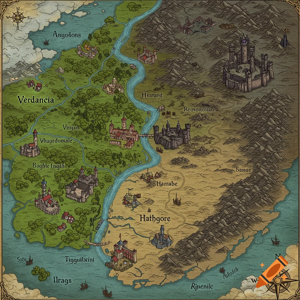
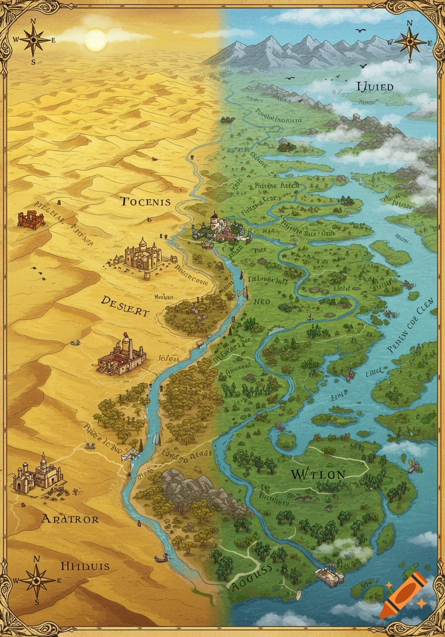
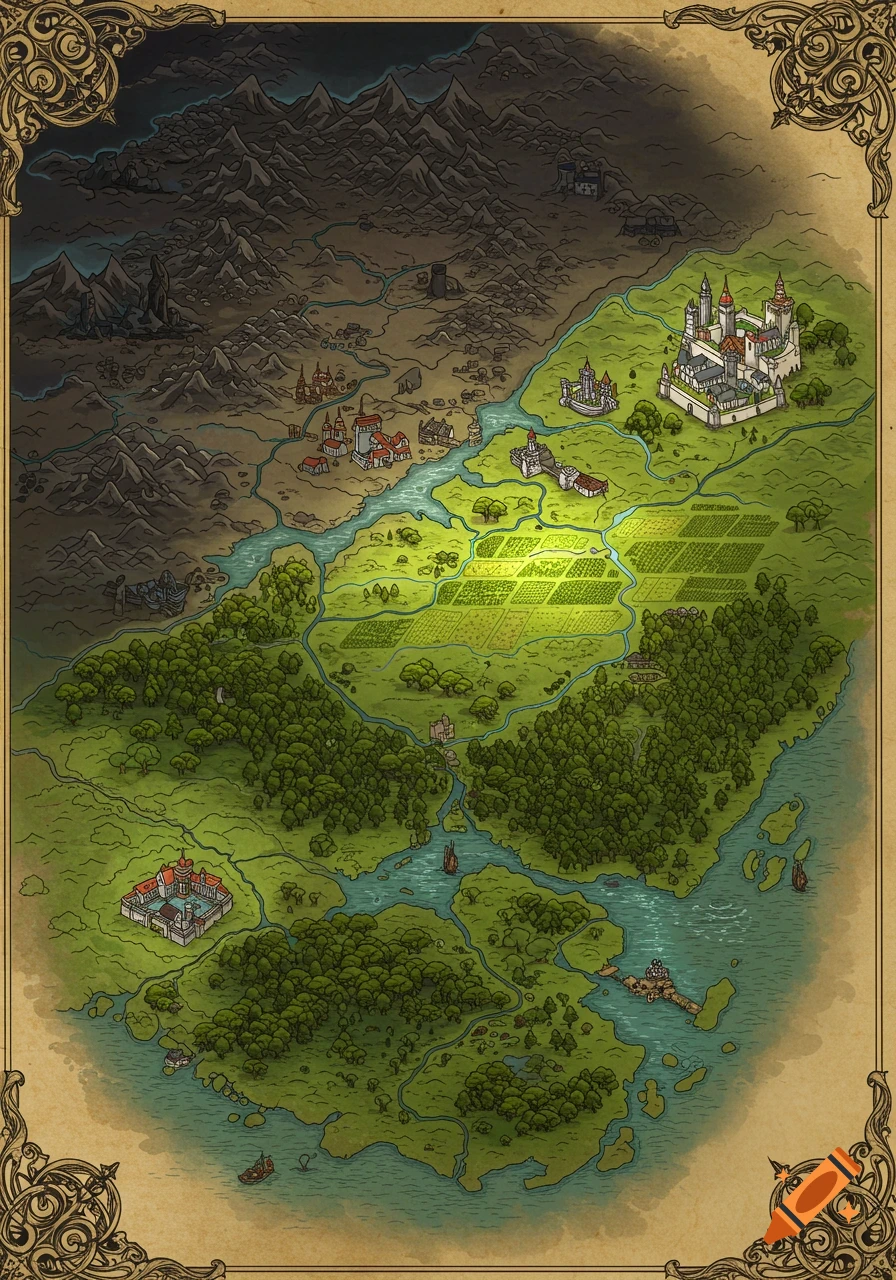
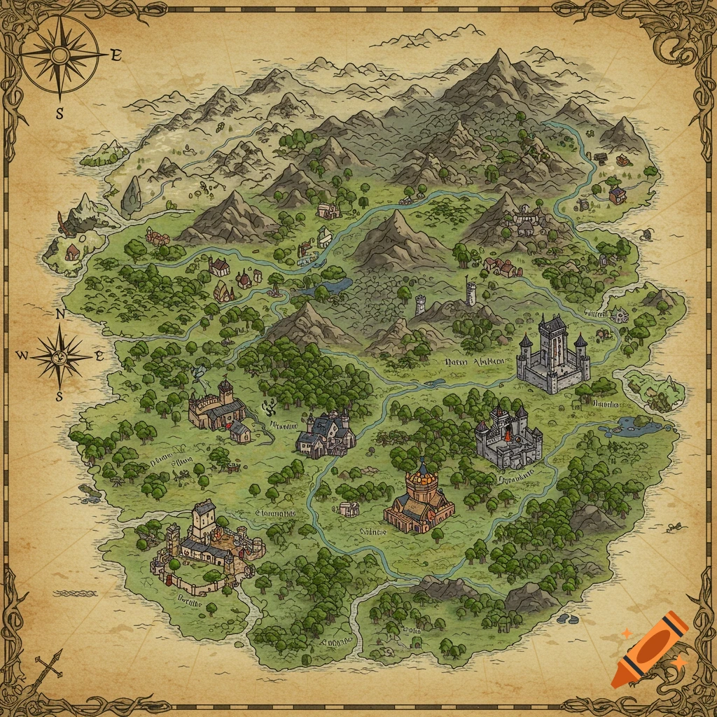
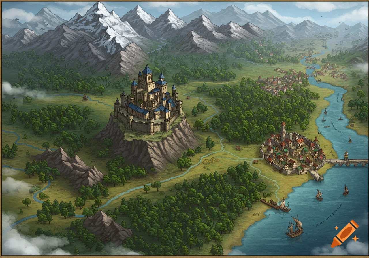
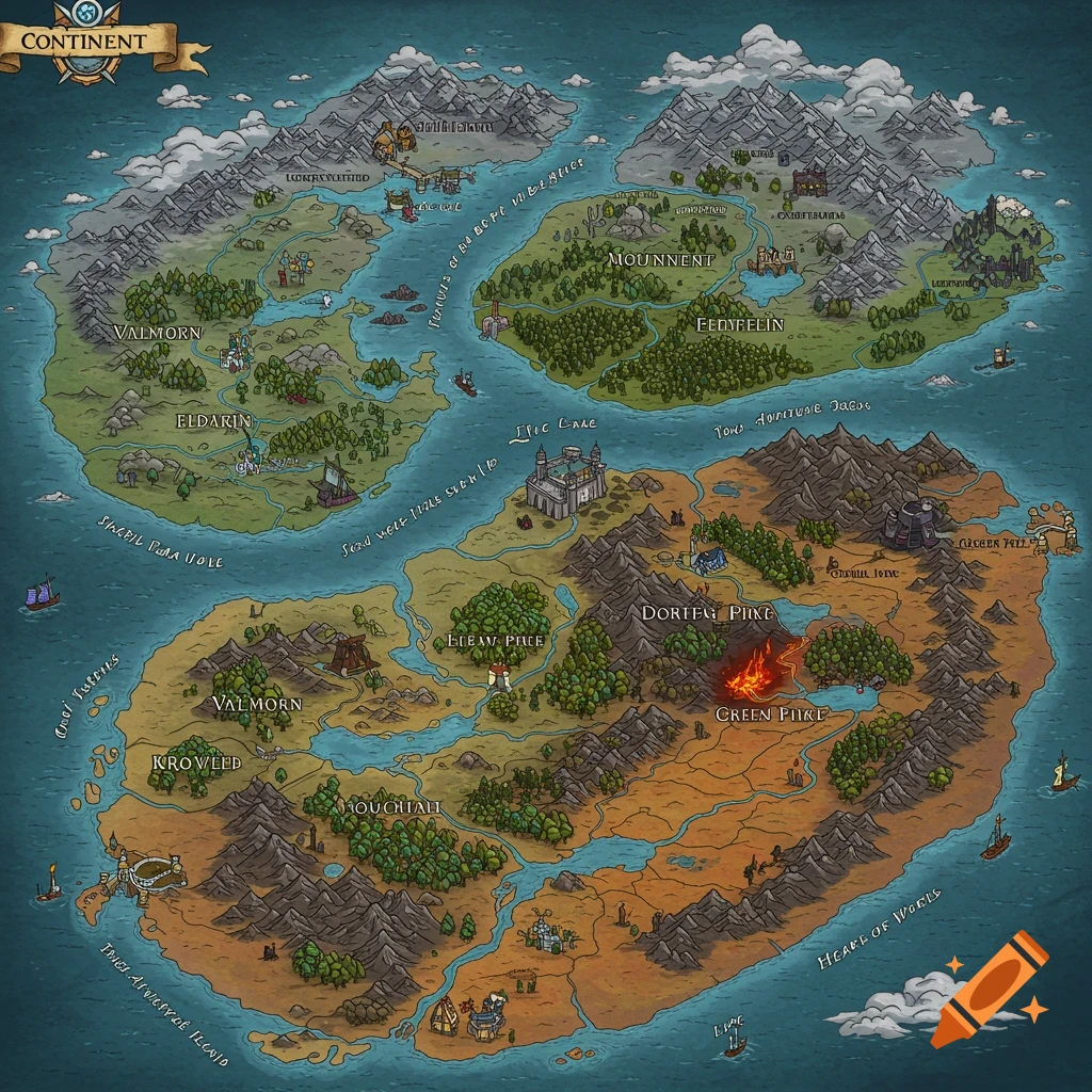
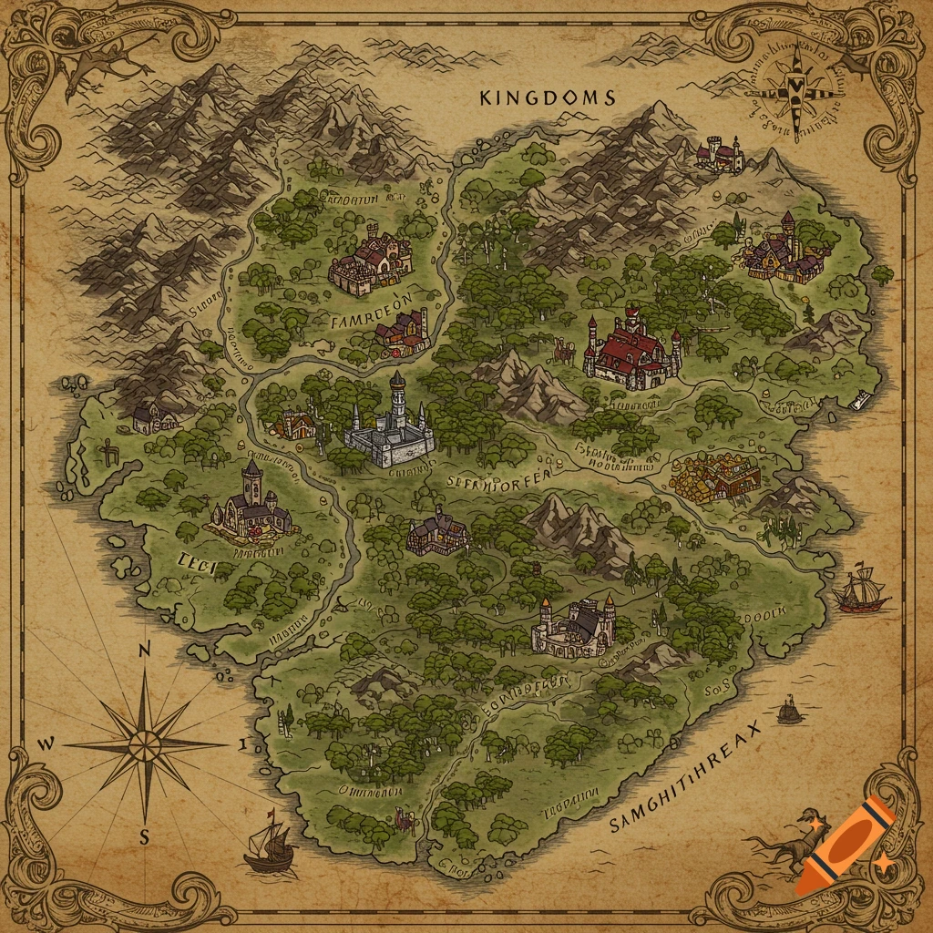
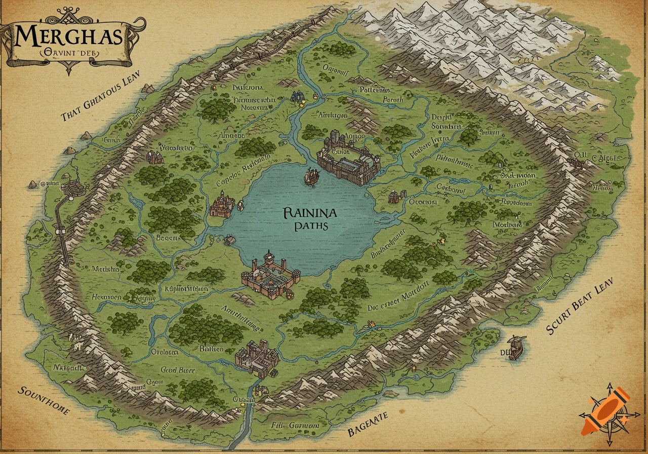
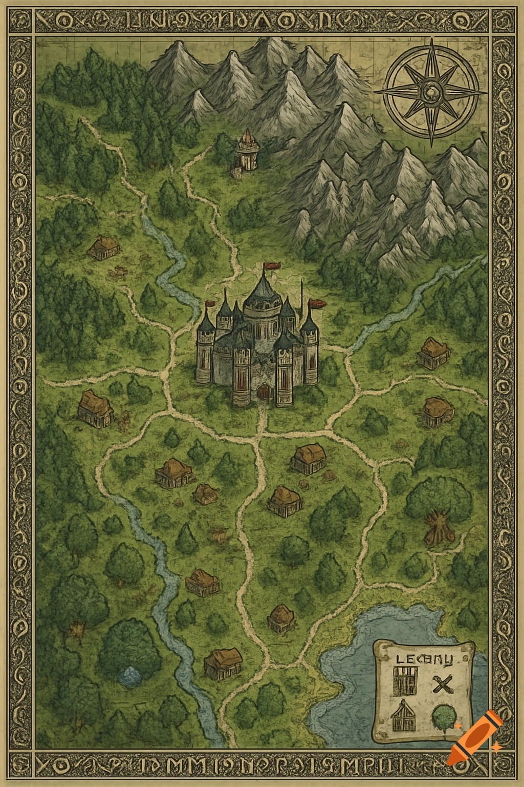
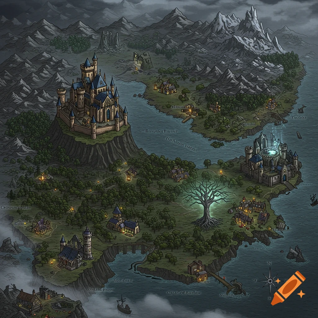
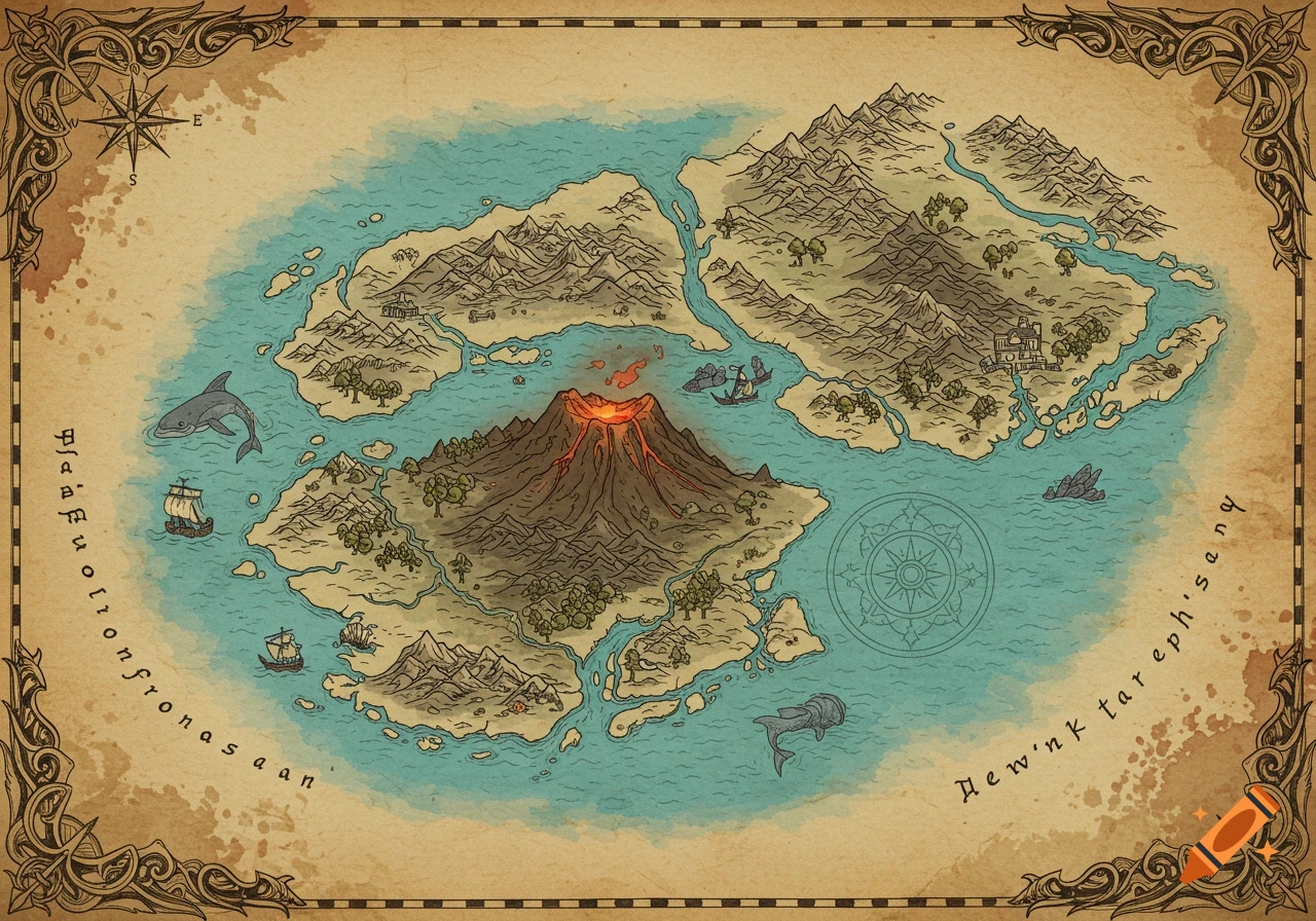
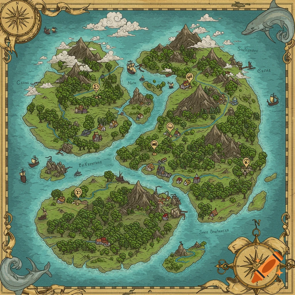
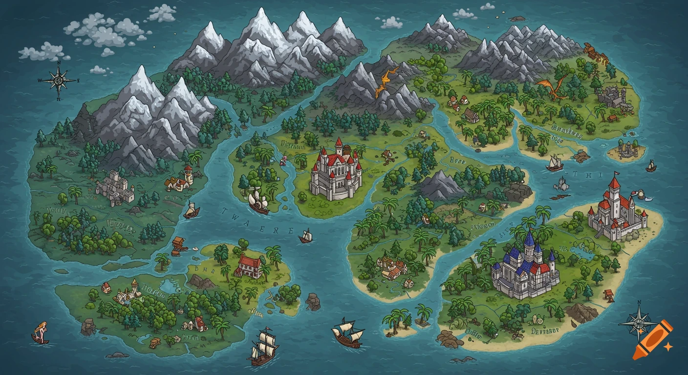
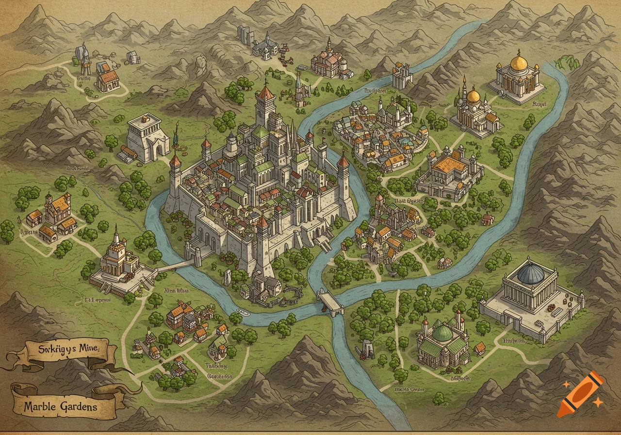
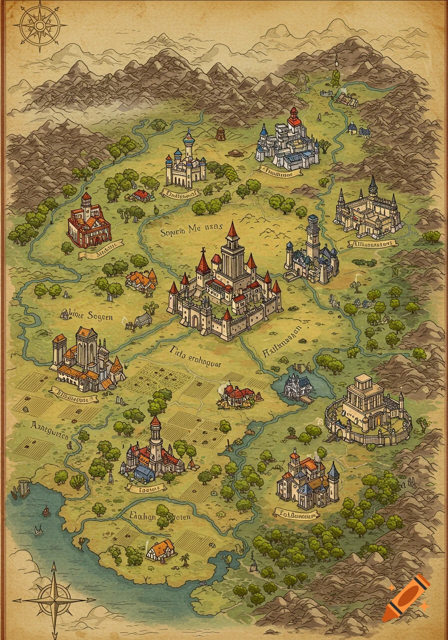
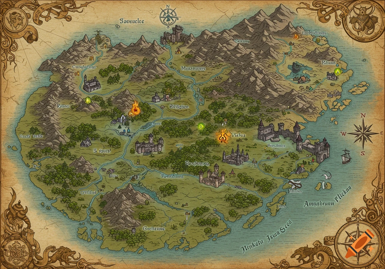
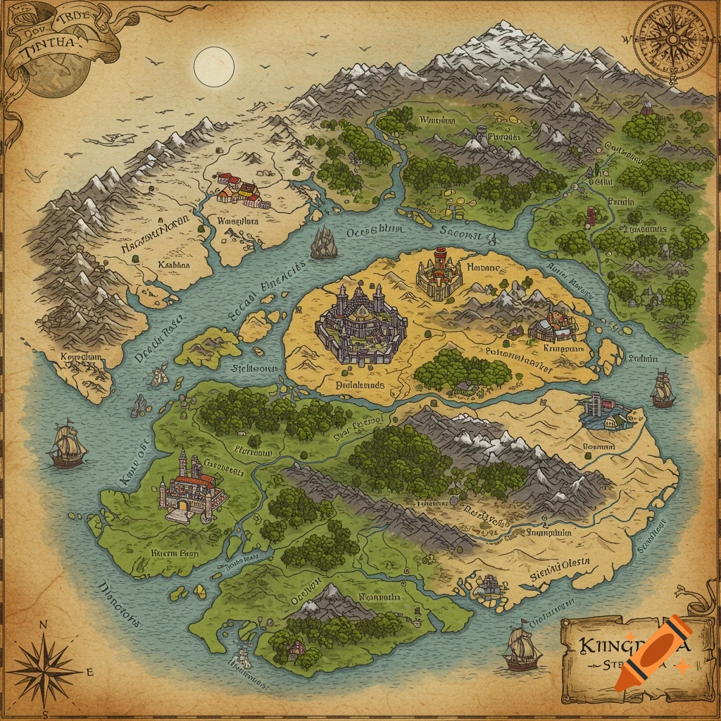
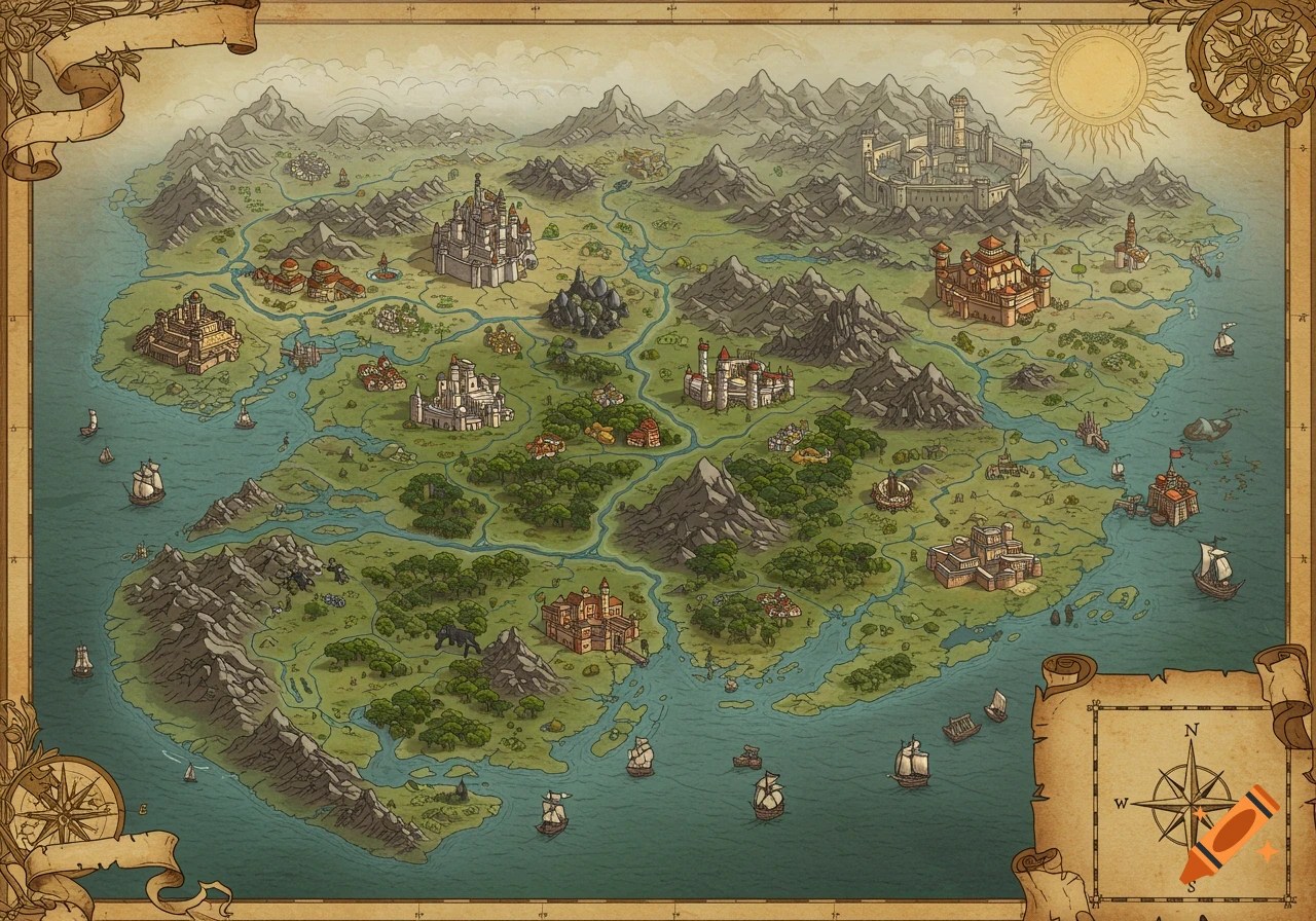
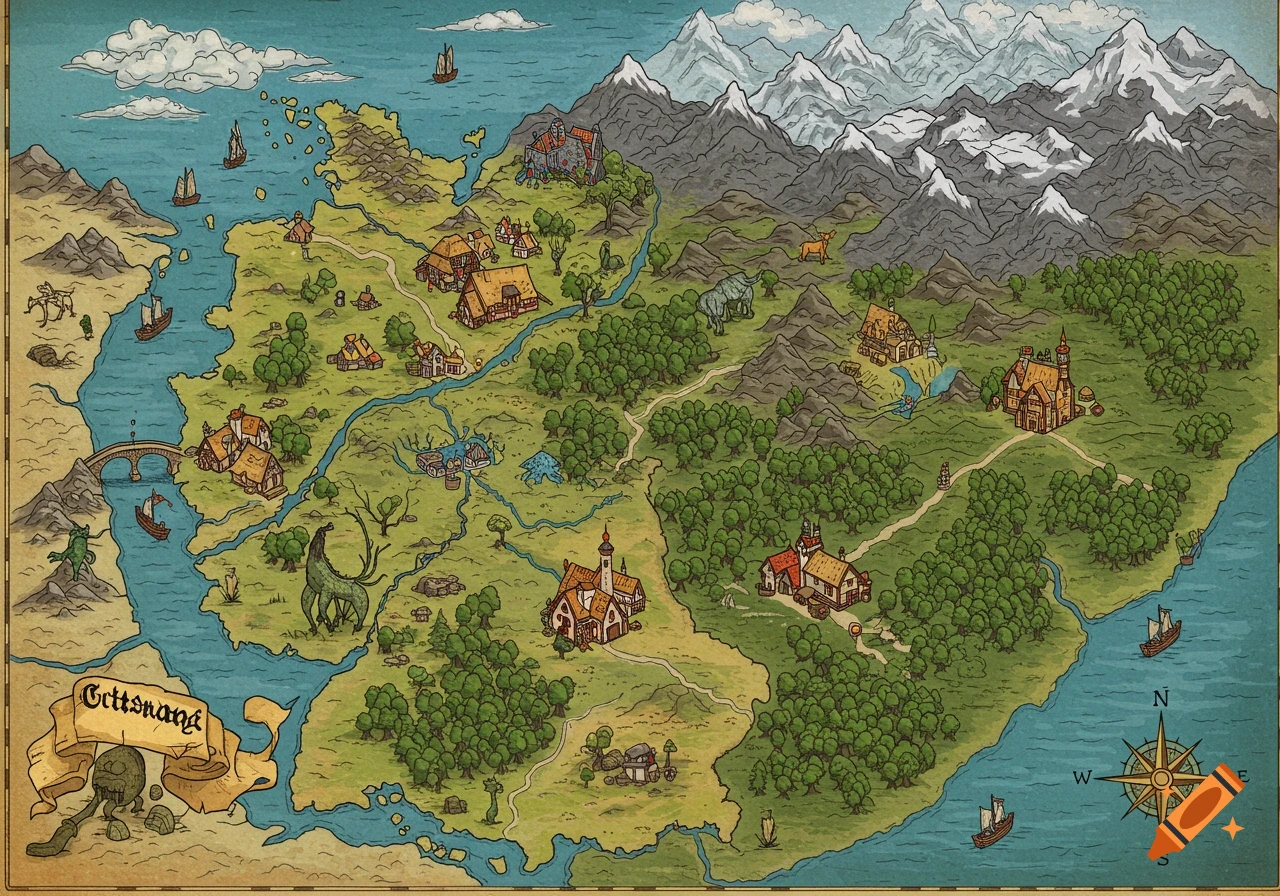
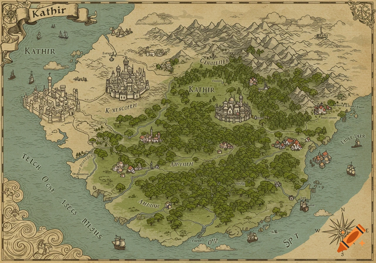
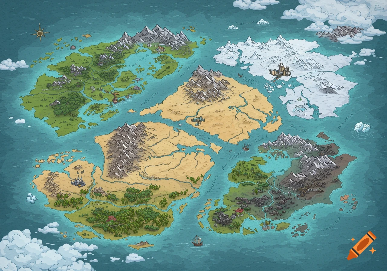
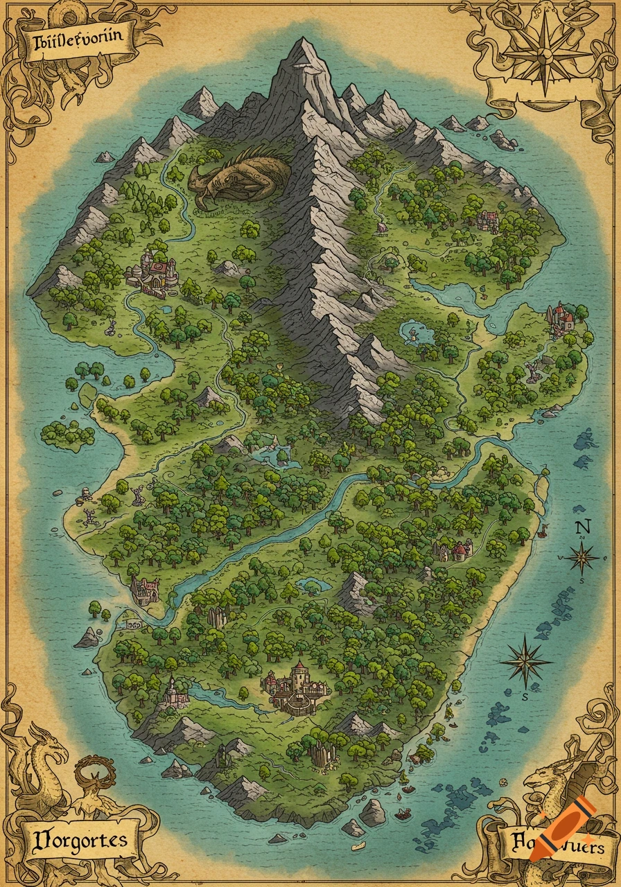
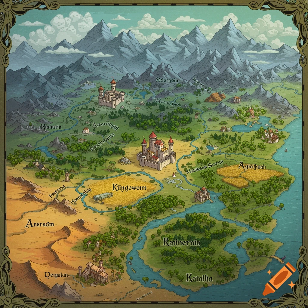
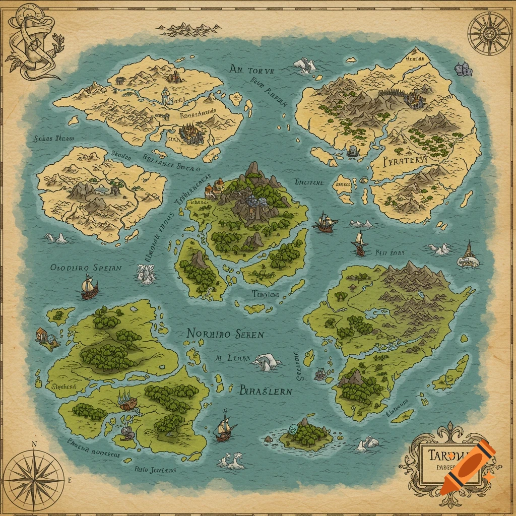
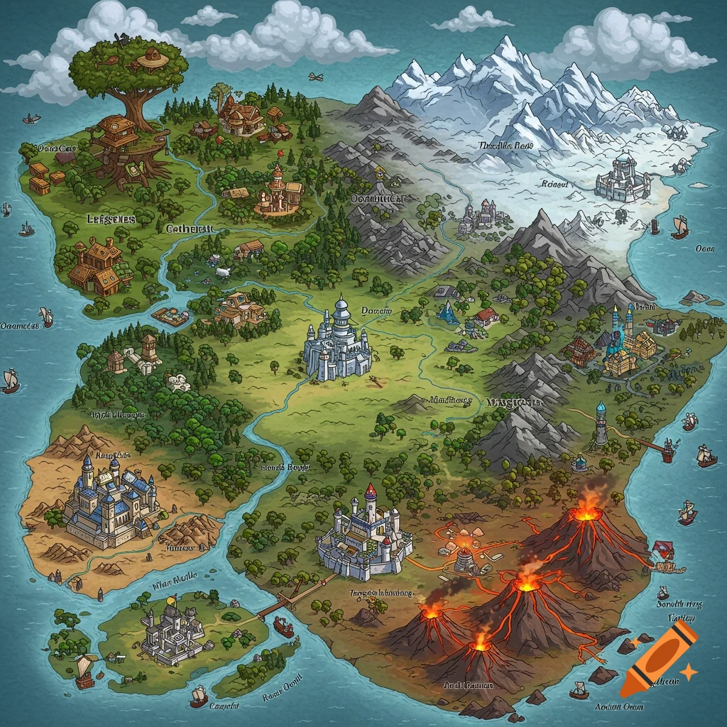
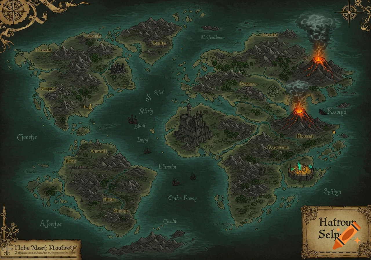
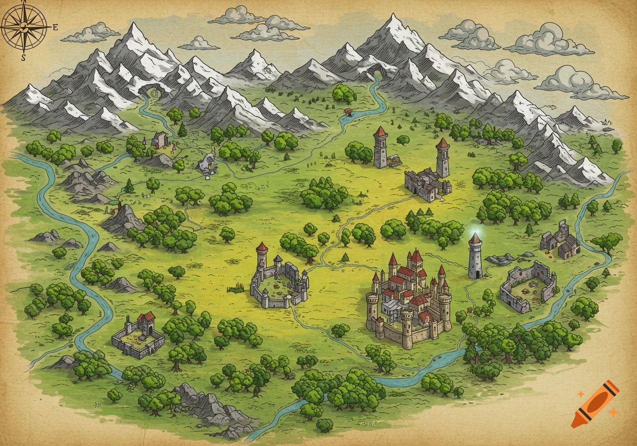
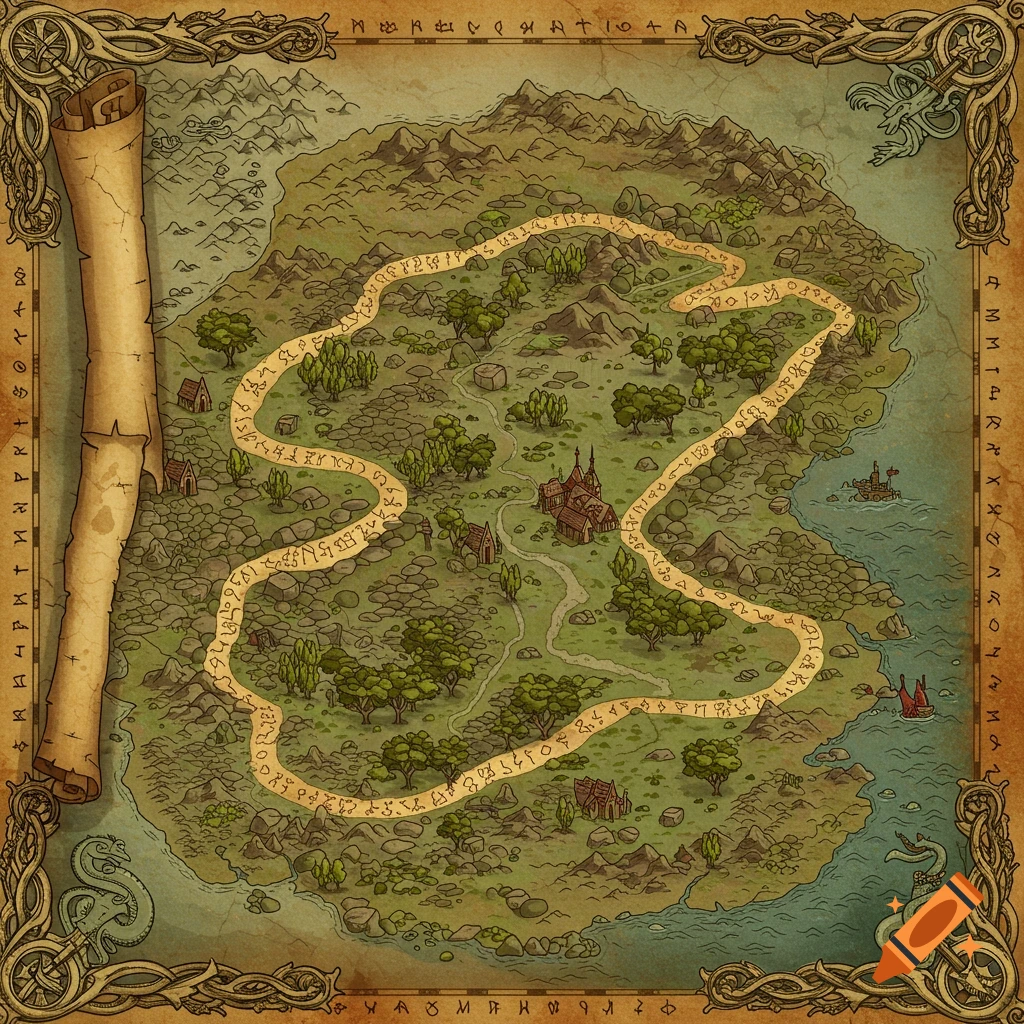
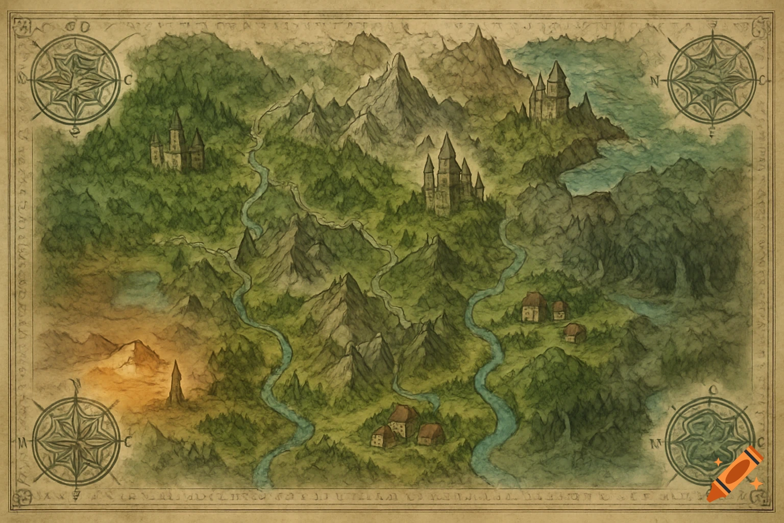
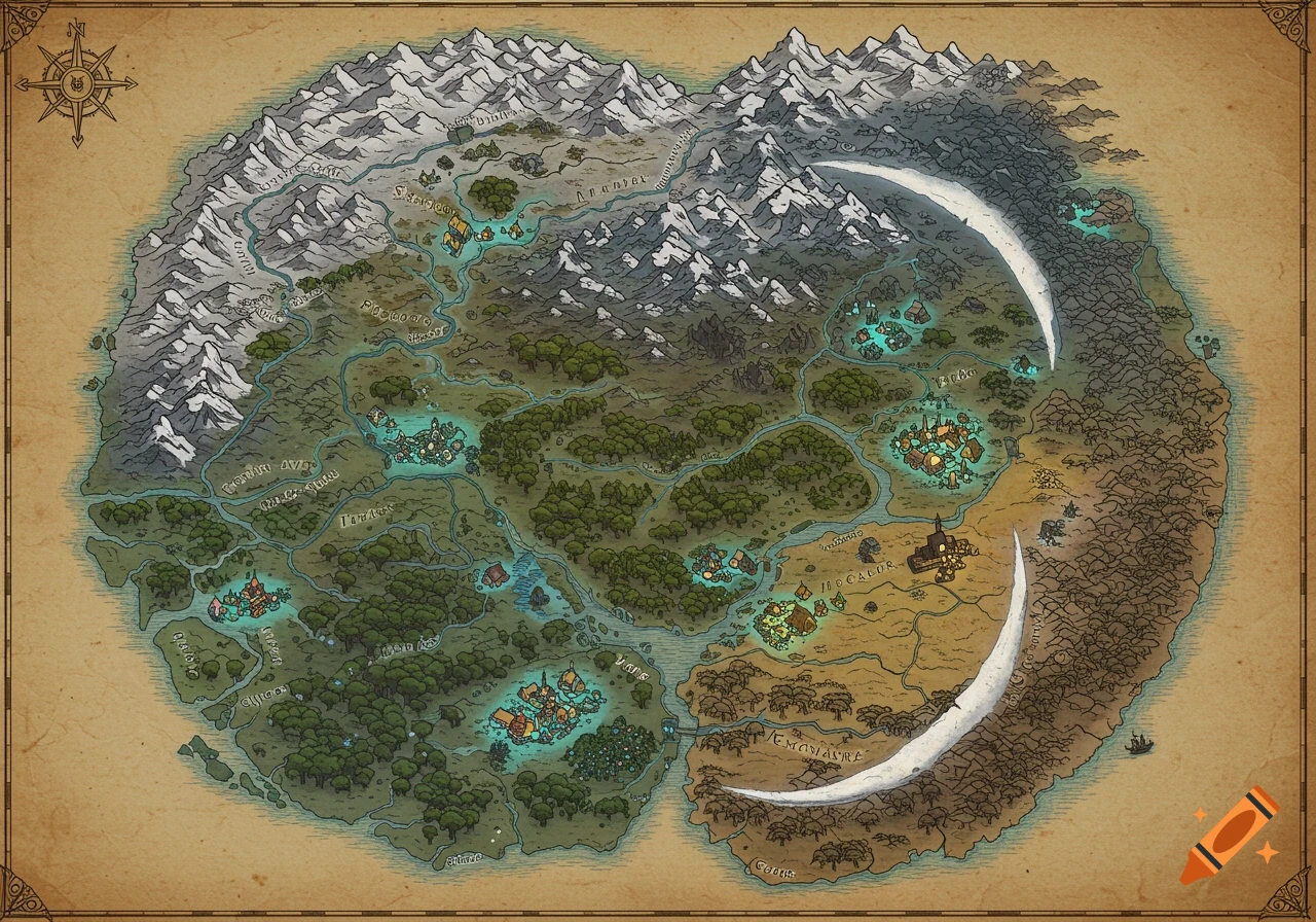
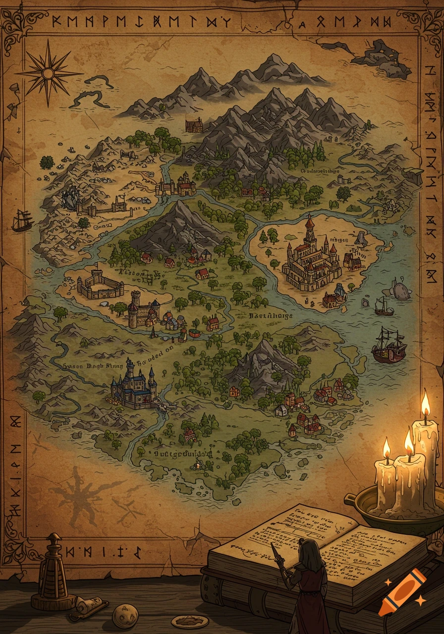
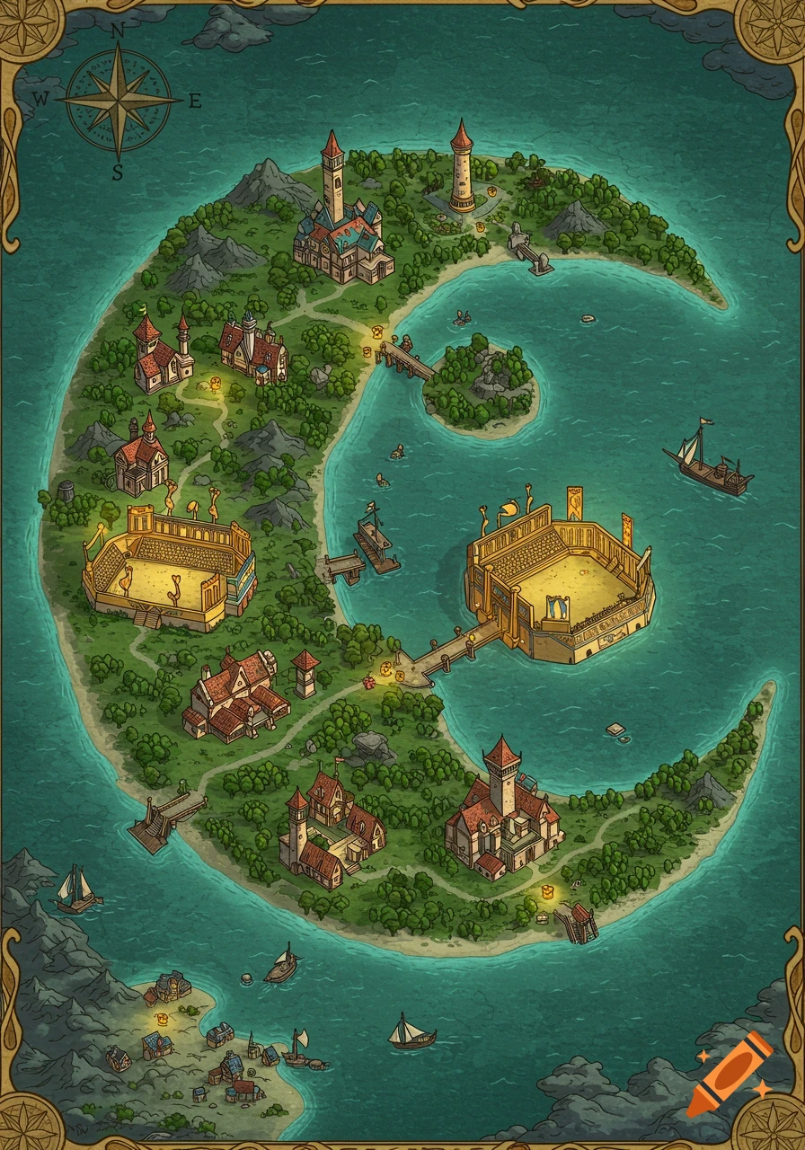
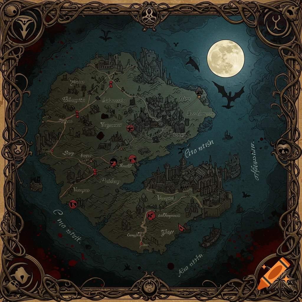
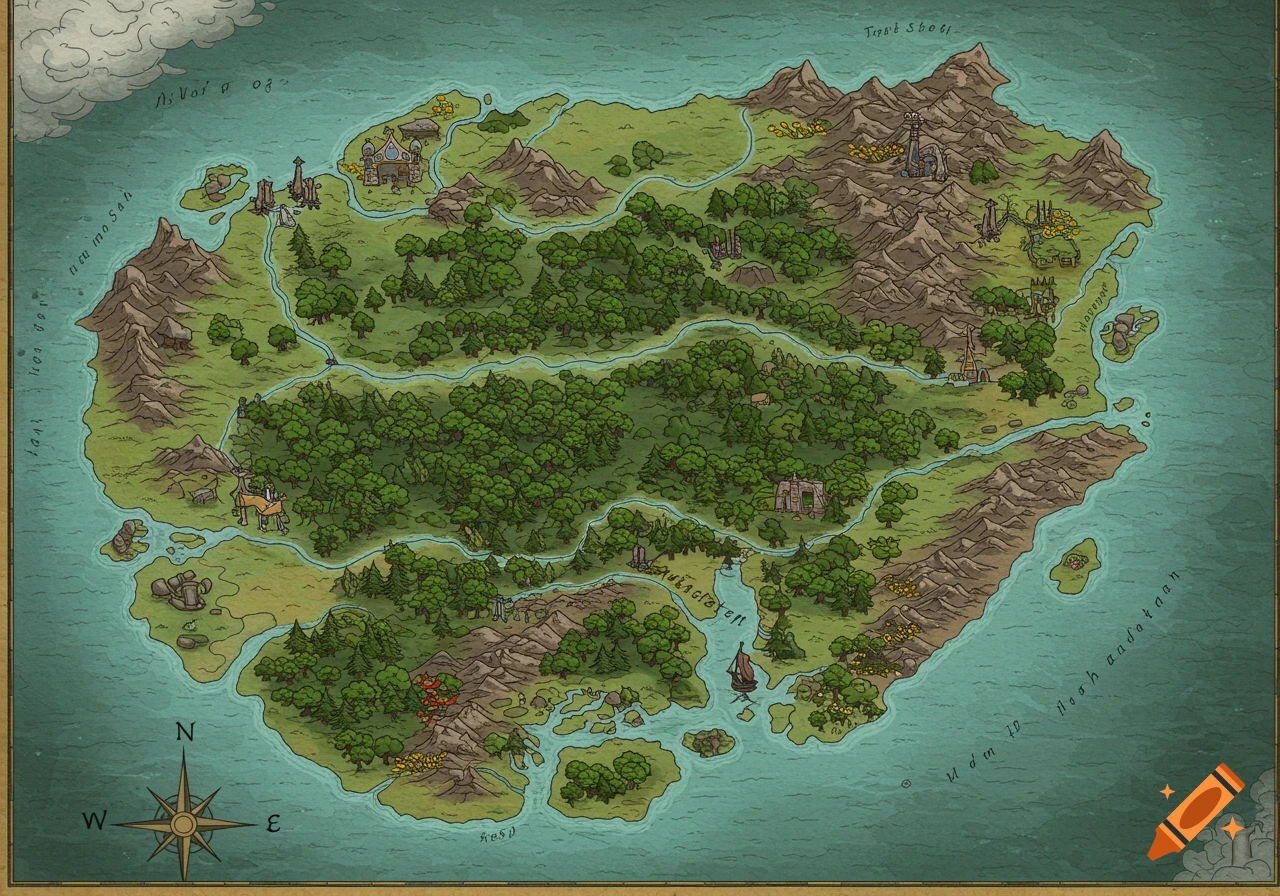
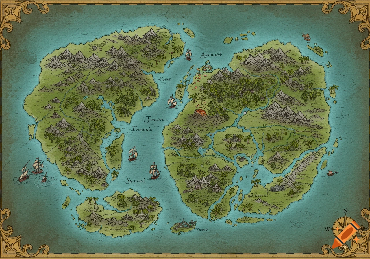
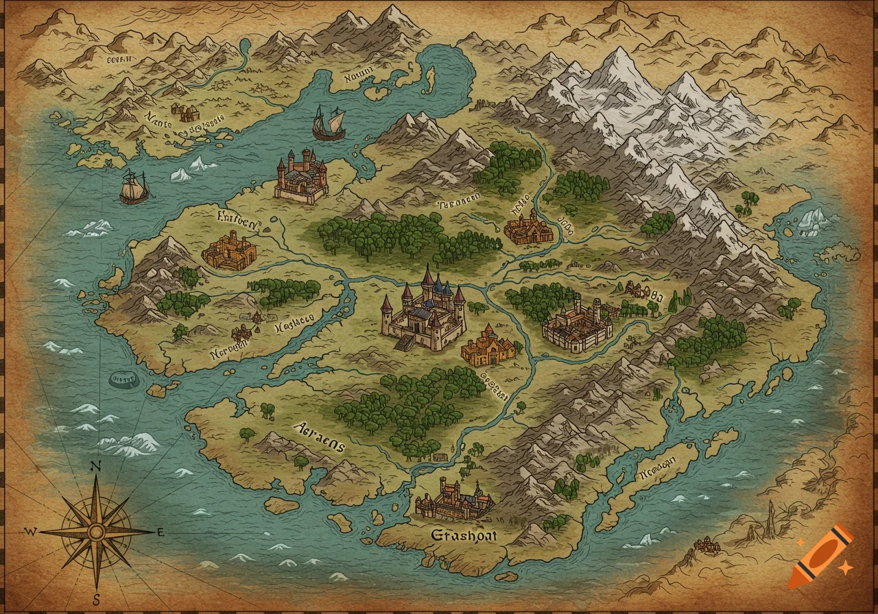
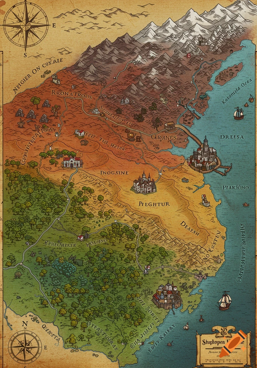
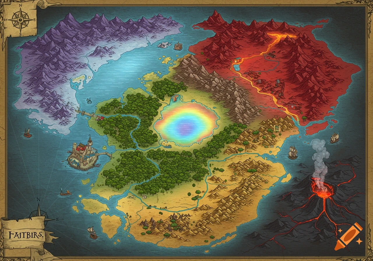
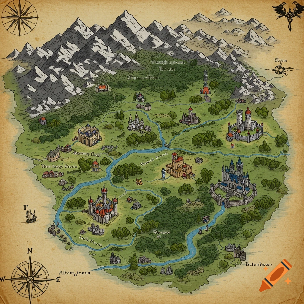
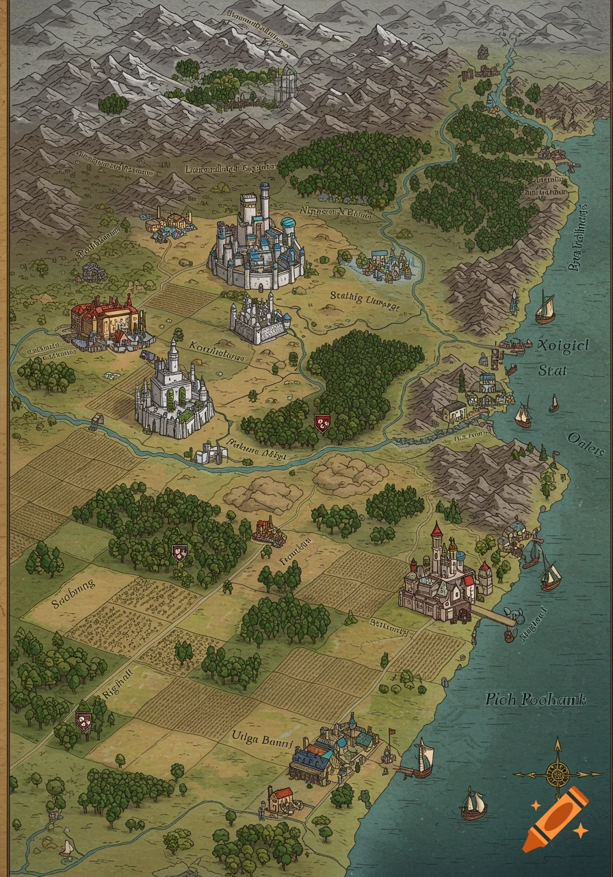
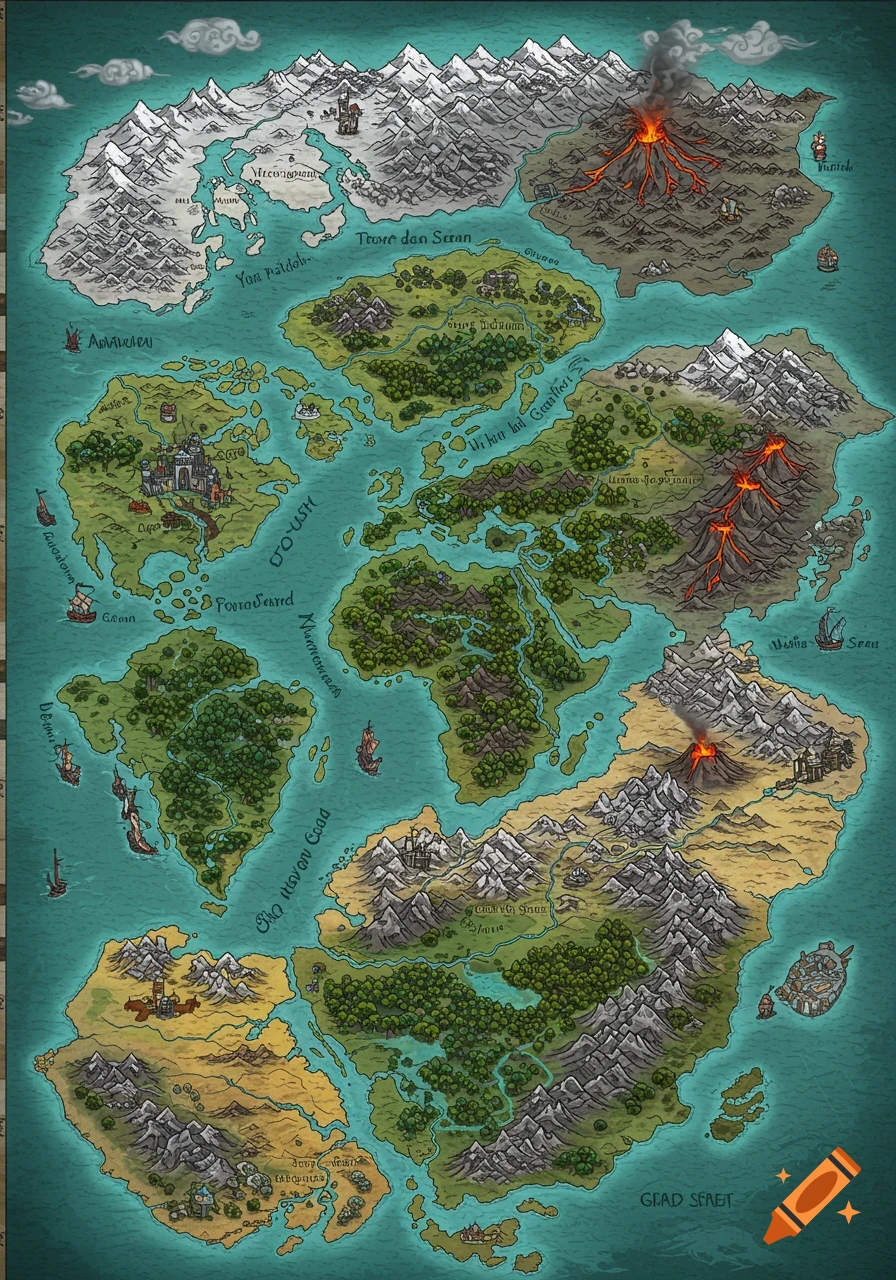
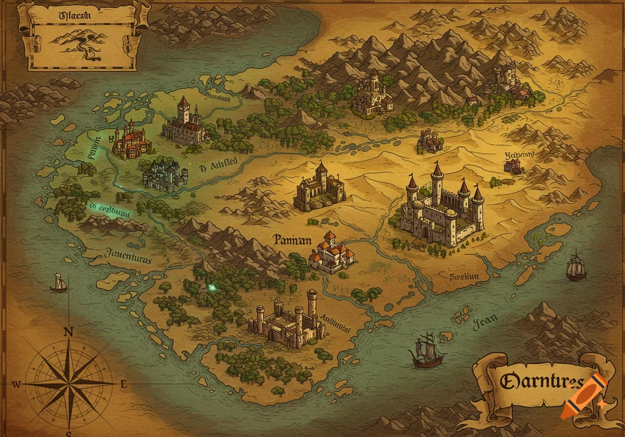
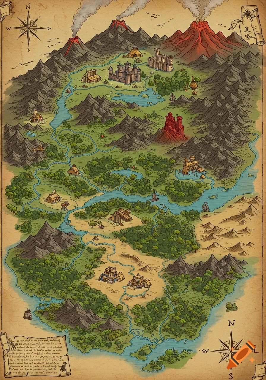
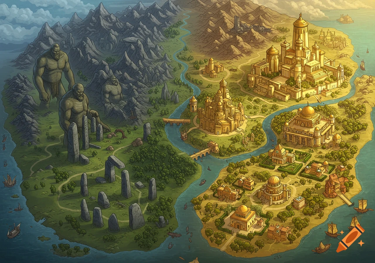
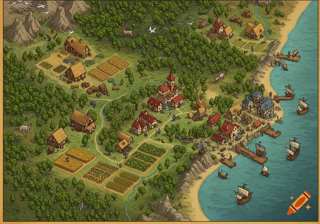
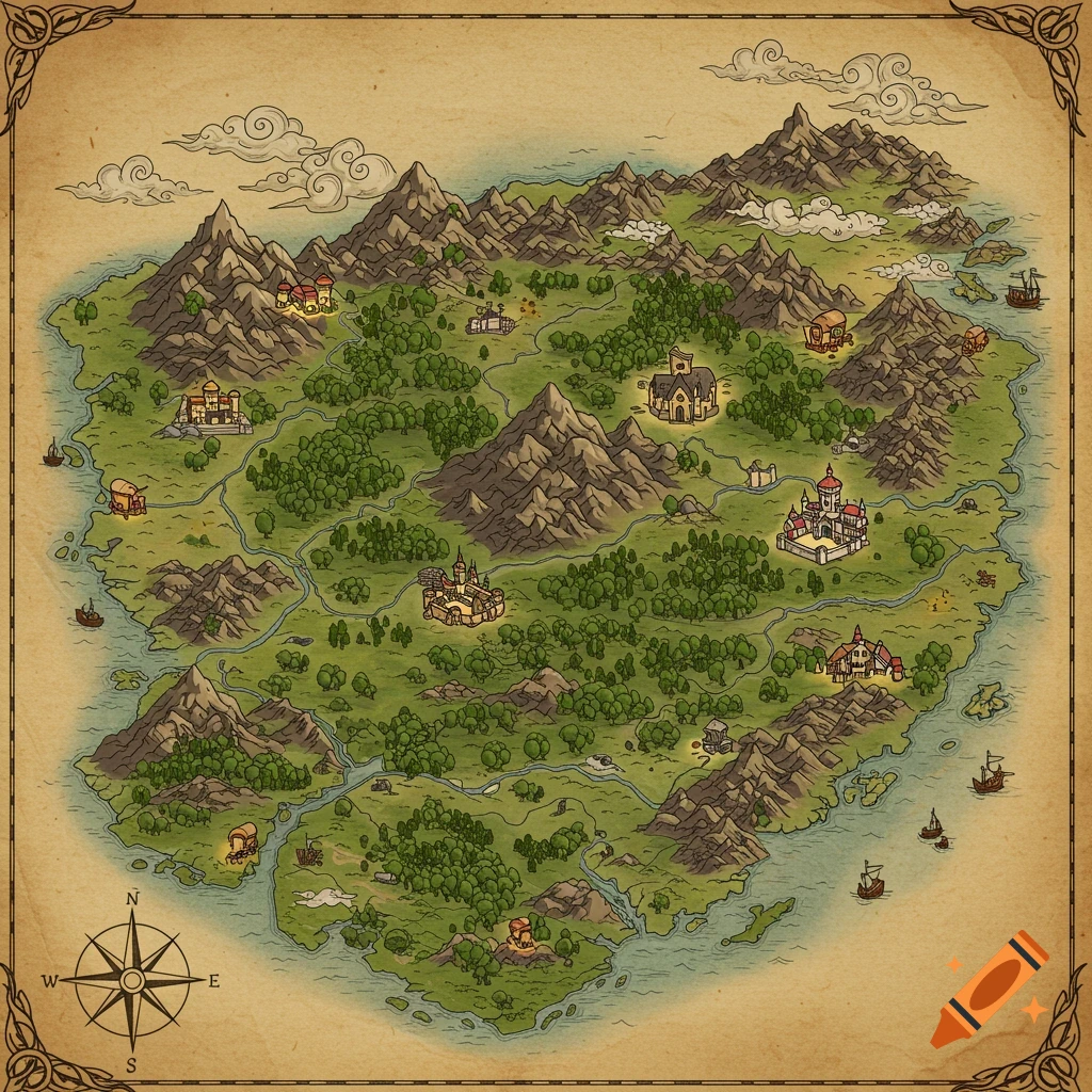
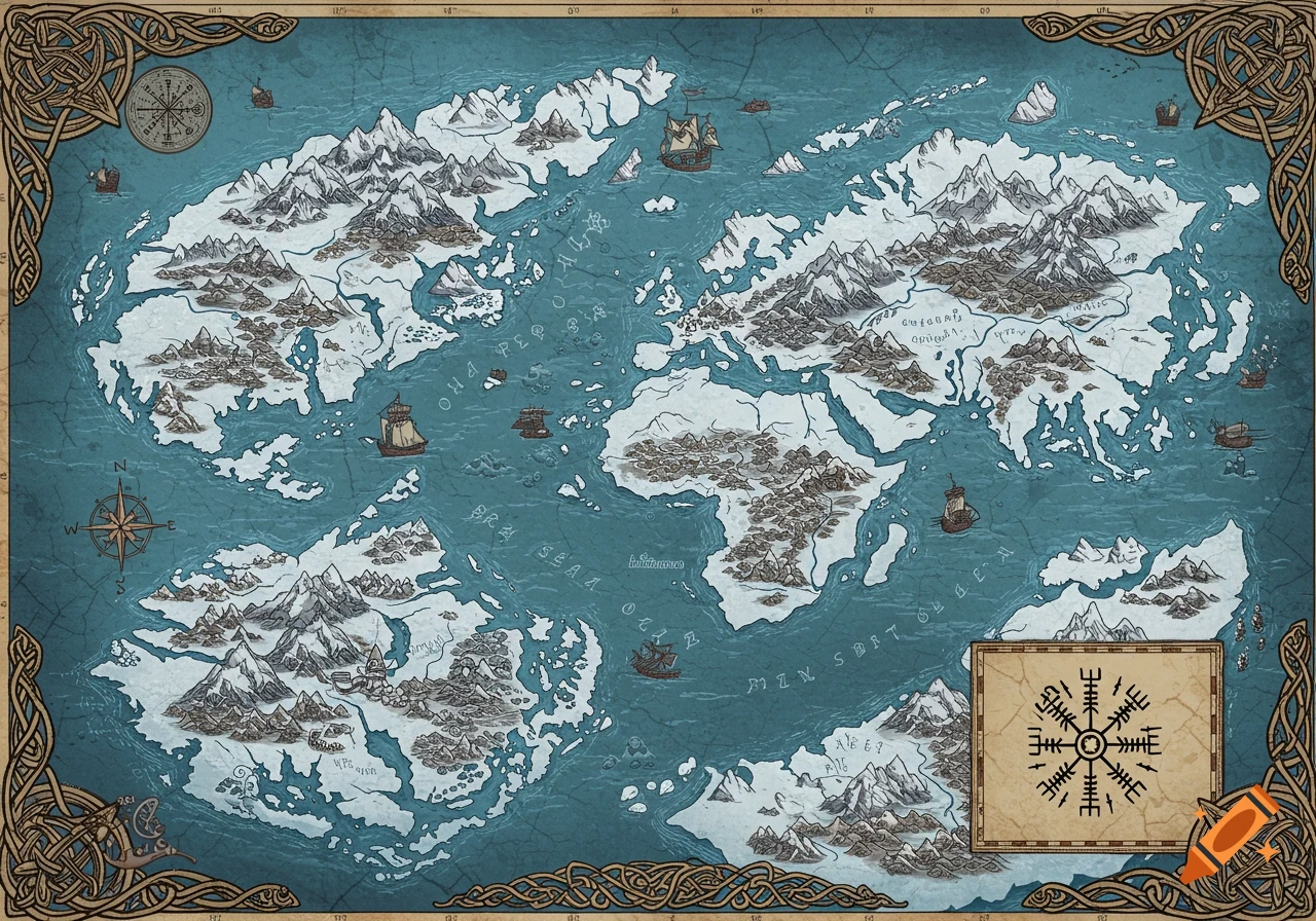
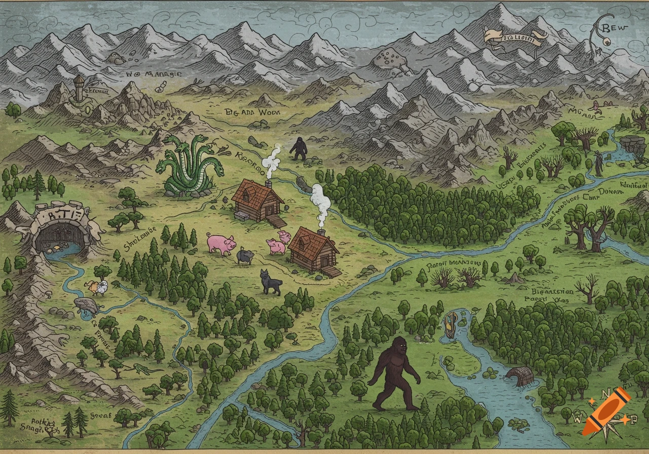
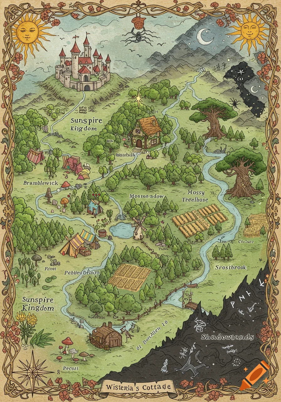
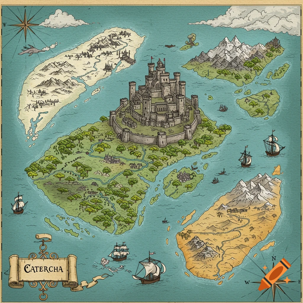
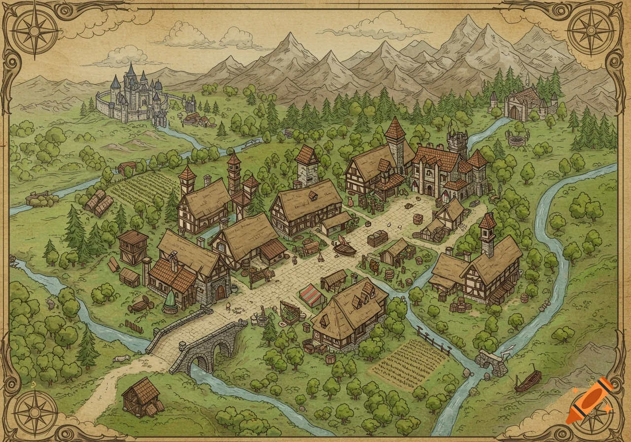
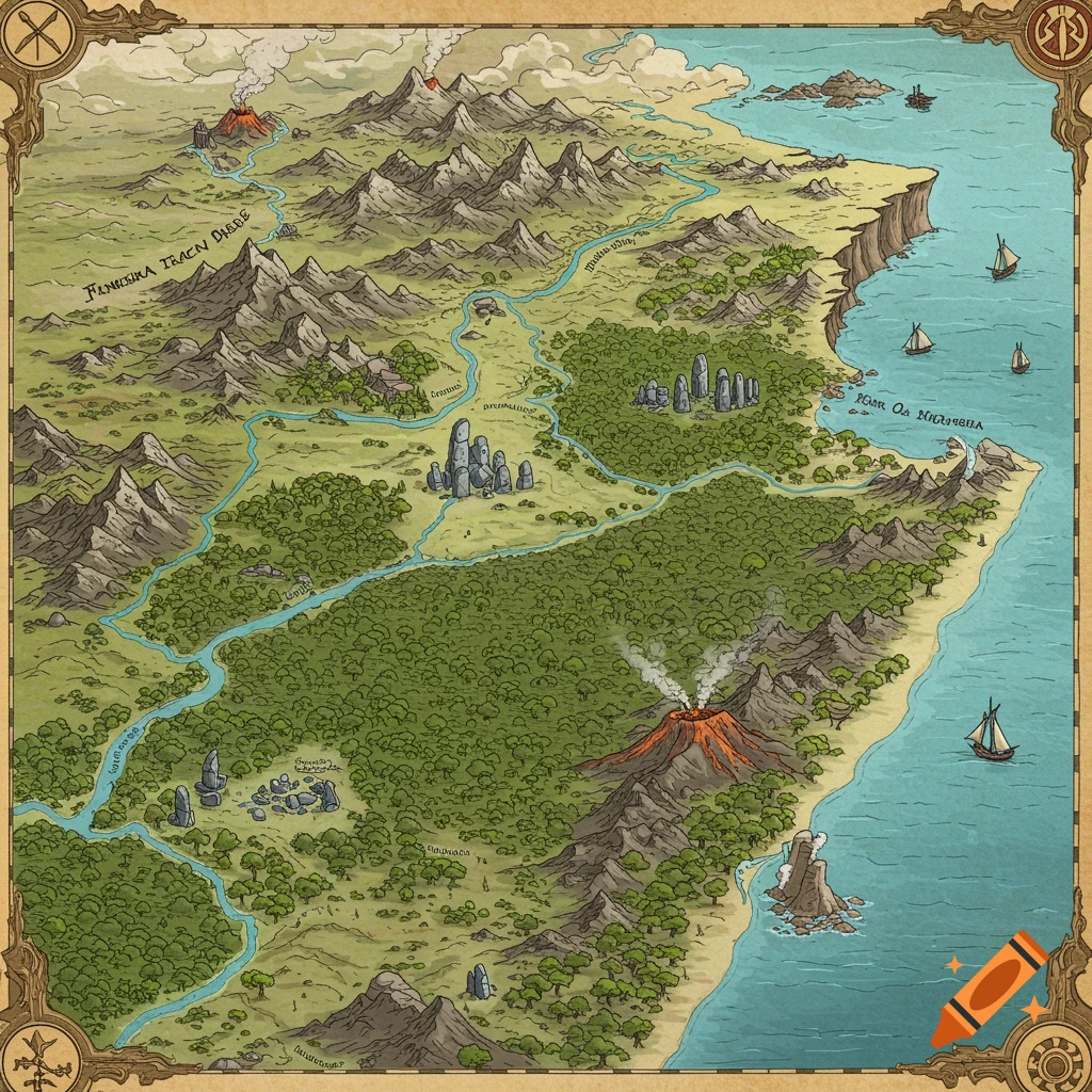
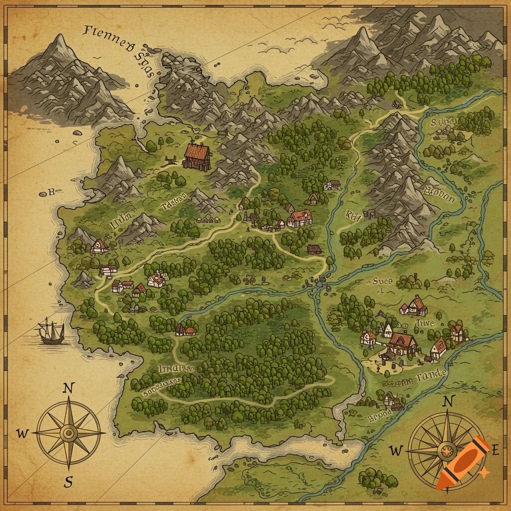
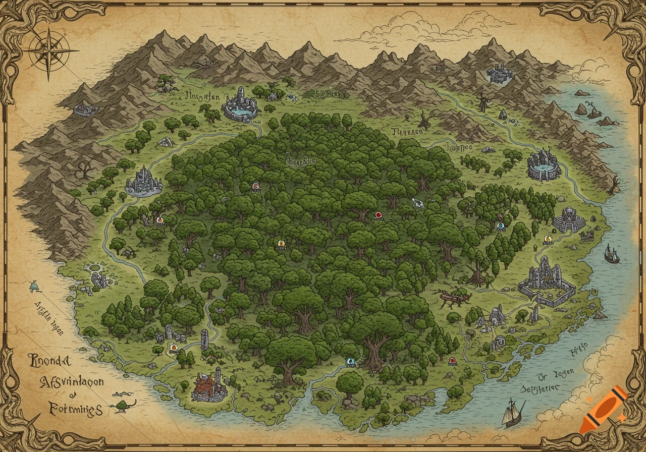
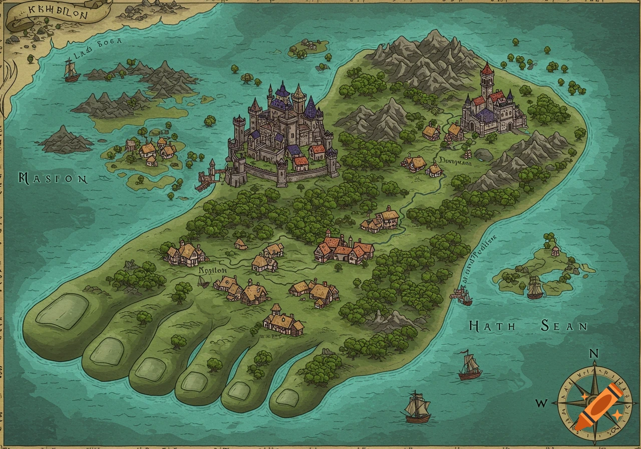
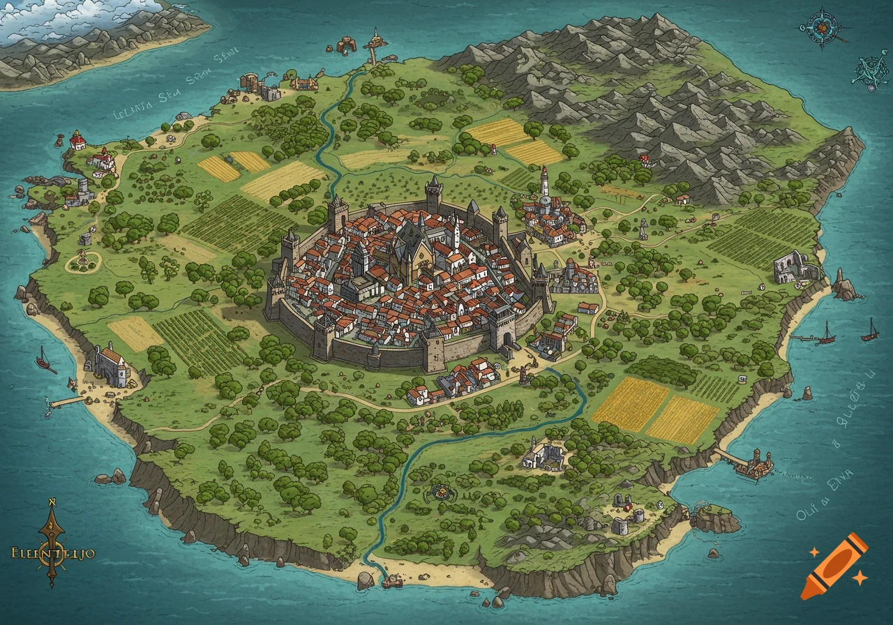
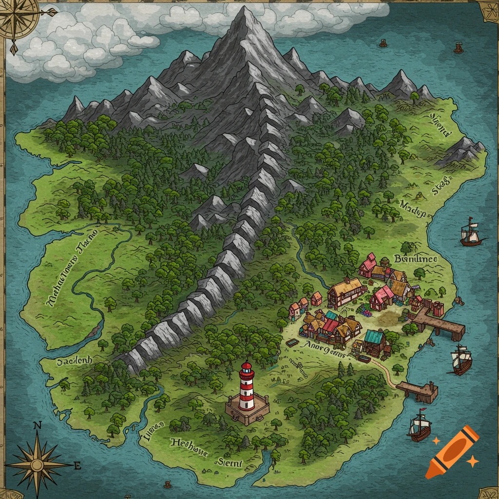
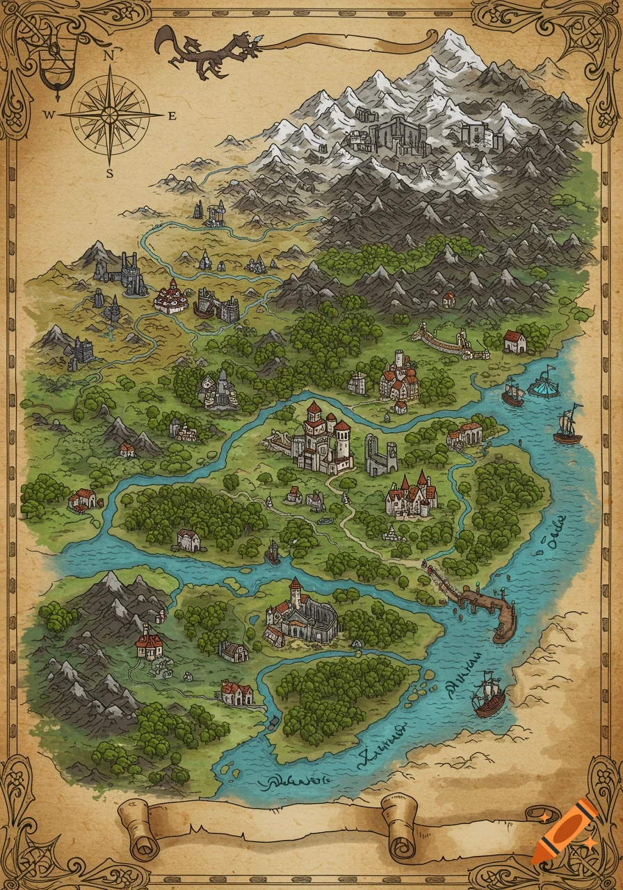
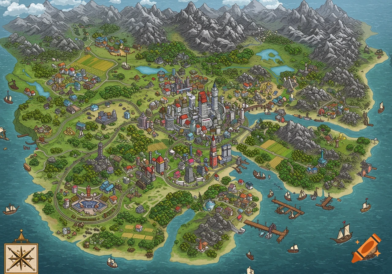
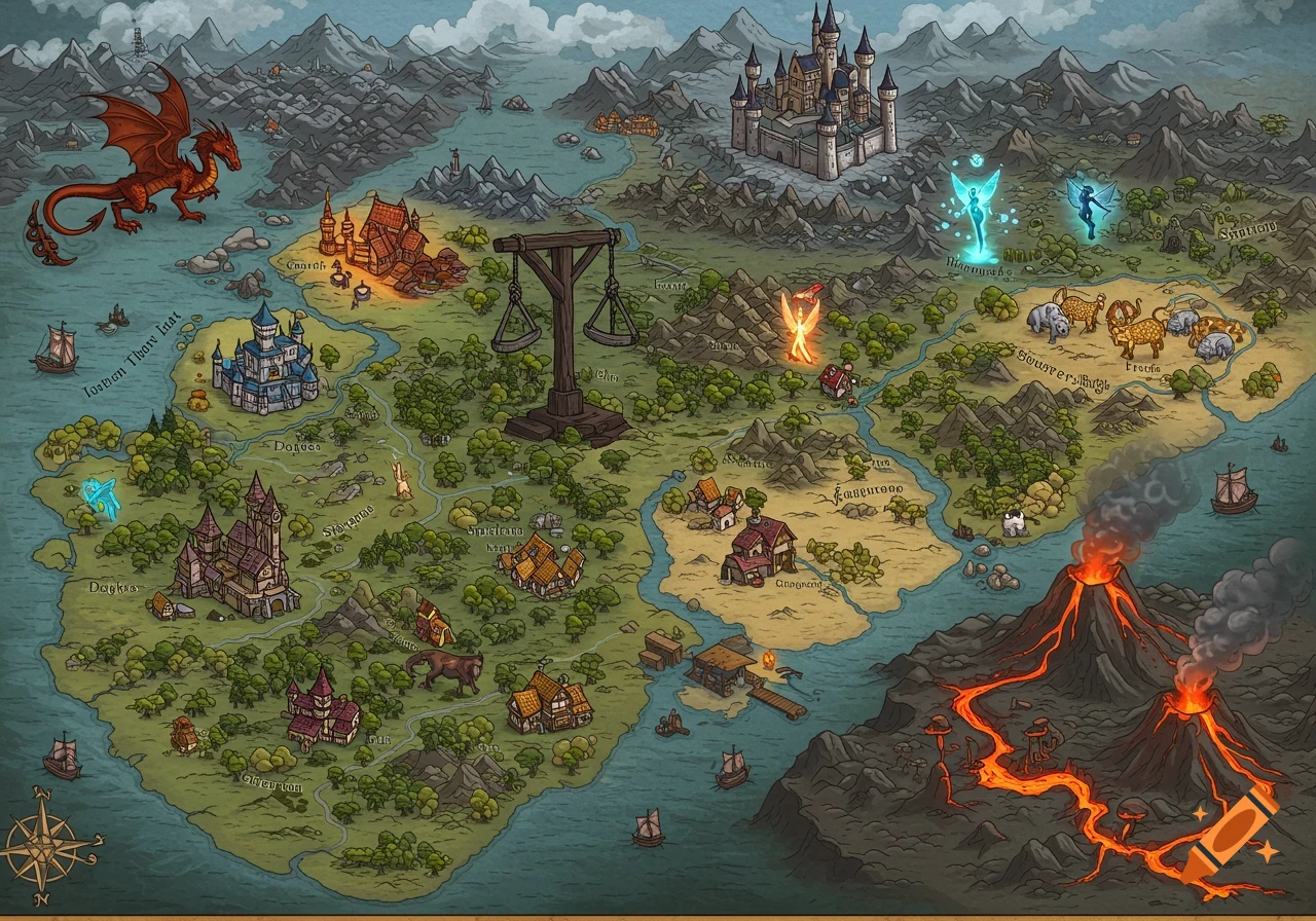
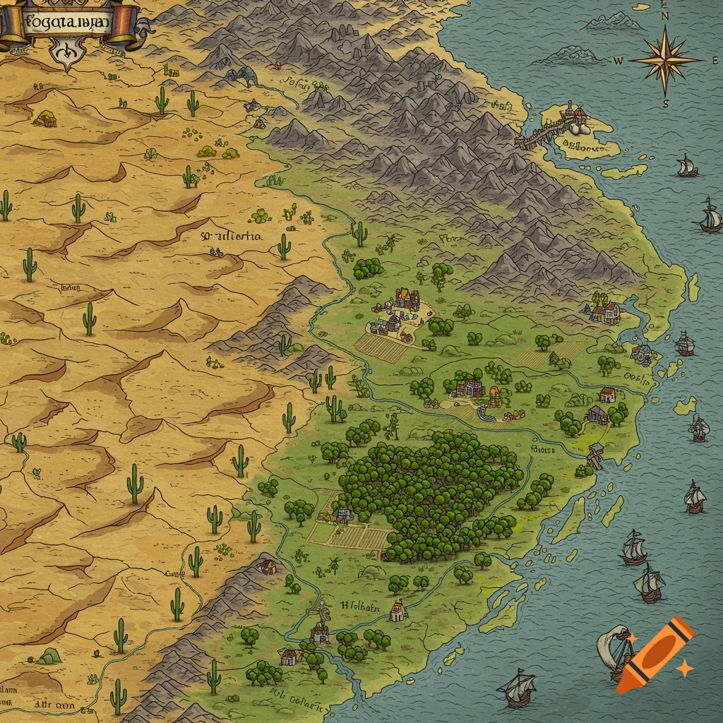
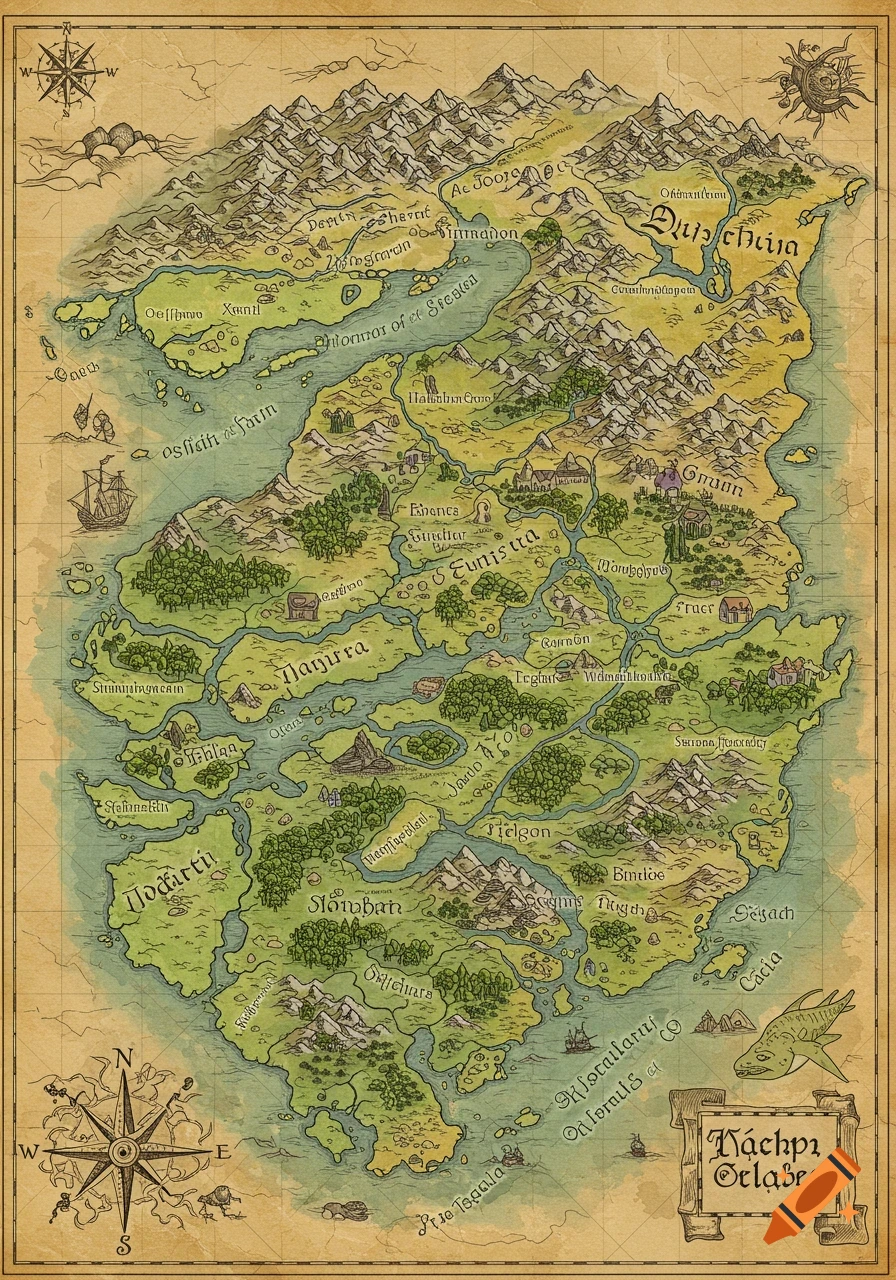
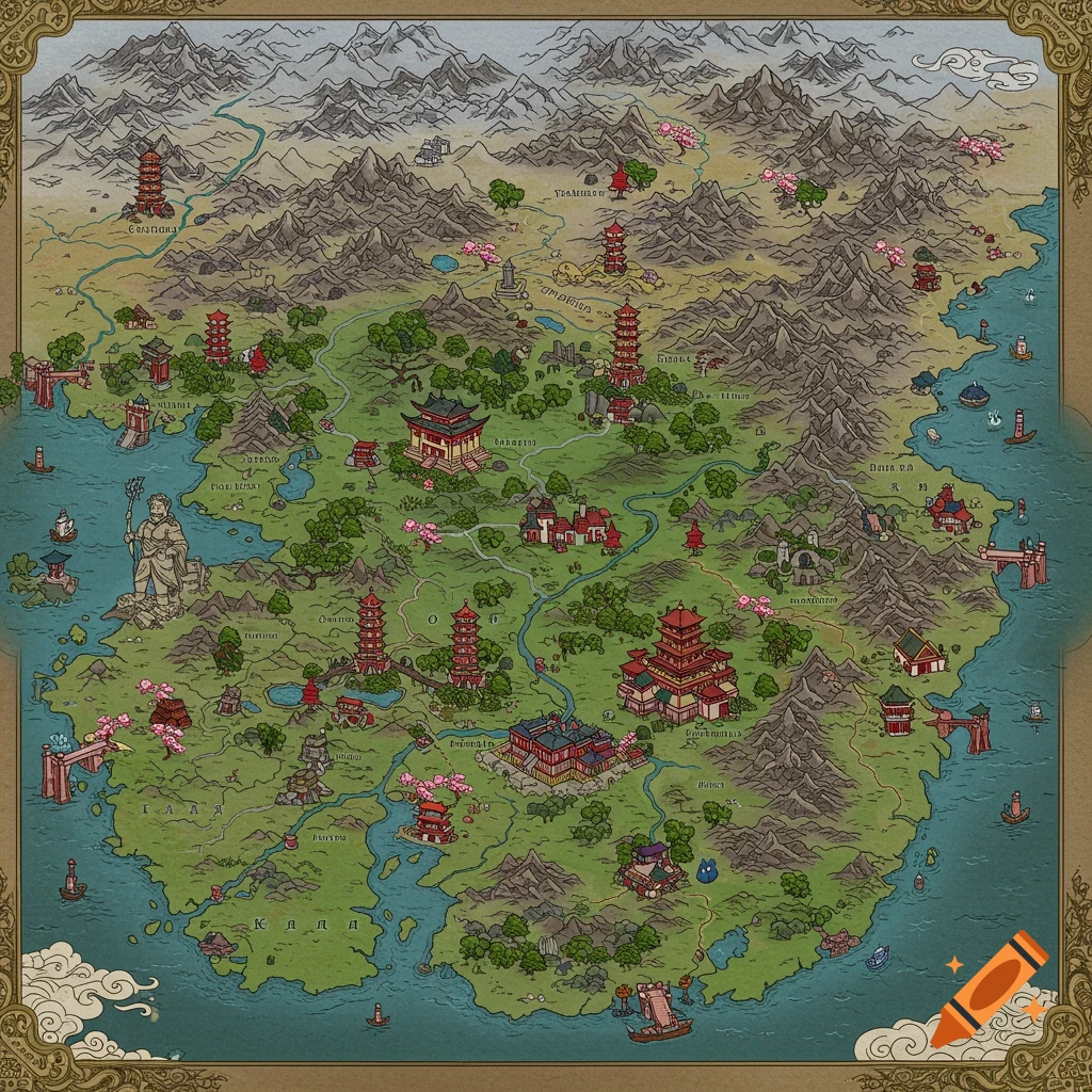
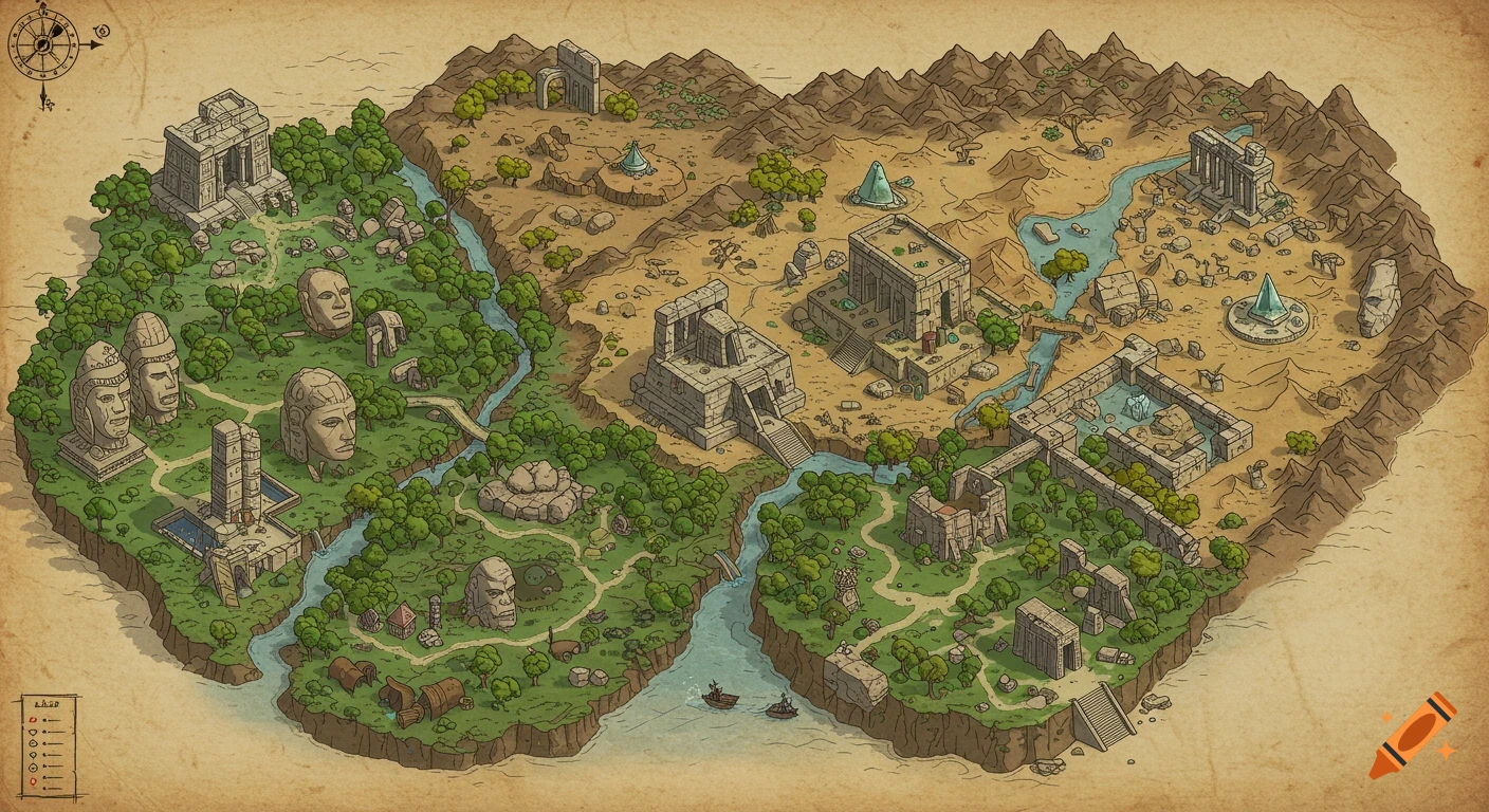
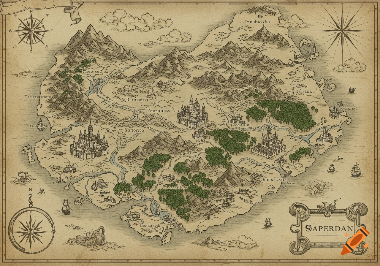
Detailed fantasy world map on parchment with labeled regions, mountain ranges, and a compass rose.
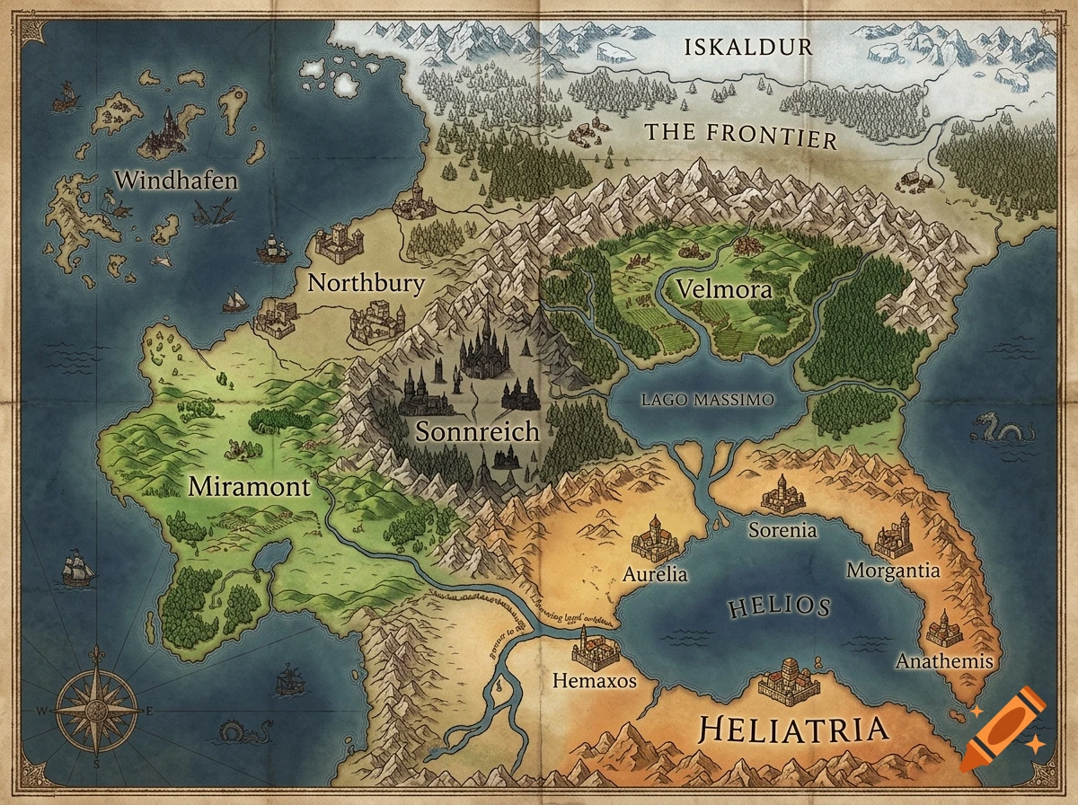
Prompt: Fantasy world map, high-angle top-down view, parchment style, antique cartography. A continent shaped like an hourglass narrowing at the poles. Focus on the Northern Continent. SOUTHEAST: A Mediterranean sea named "Helios" opening into the eastern ocean. Five city-states surrounding it: Aurelia top west and Hemaxos on the south-west coast (Hemaxos is inland on a massive river flowing into Helios), Sorenia on the north coast, Morgantia and Anathemis on the east coast. Sunny, warm climate with rocky coasts. This whole place is called Heliatria, after the sea at its center. WEST/NORTHWEST: A lush, idyllic green region with rolling hills and plains named Miramont, reaching the western ocean. NORTH/NORTHWEST COAST: An Anglo-Saxon medieval nation named Northbury, and (Northern still) Windhafen a pirate haven that controls an archipelago on the west. CENTER, but not far, Sonnreich a gothic style kingdom. FAR NORTH: A massive, colossal mountain range stretching from west to east. North of the mountains is "The Frontier" (tundra, dense pine forests, colonies). North of the Frontier is a frozen glacier wasteland named Iskaldur. CENTER/NORTHEAST: South of the mountain range, a Renaissance valley called Velmora surrounded by dense forests east and west, with a huge river flowing south into a gigantic central lake (Lago Massimo), which drains down into the Helios sea. Detailed labels, compass rose, high quality, highly detailed map --ar 4:3** Voir plus
More images like this