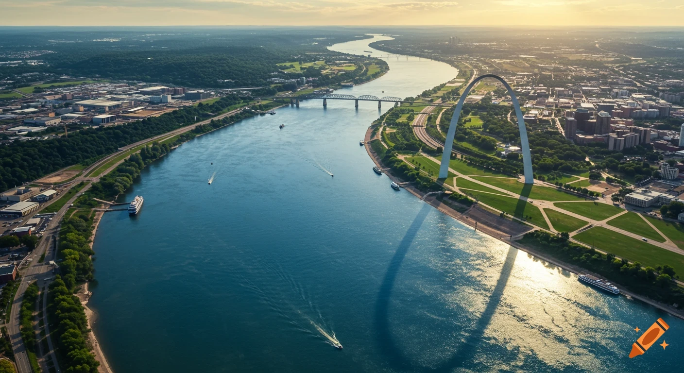
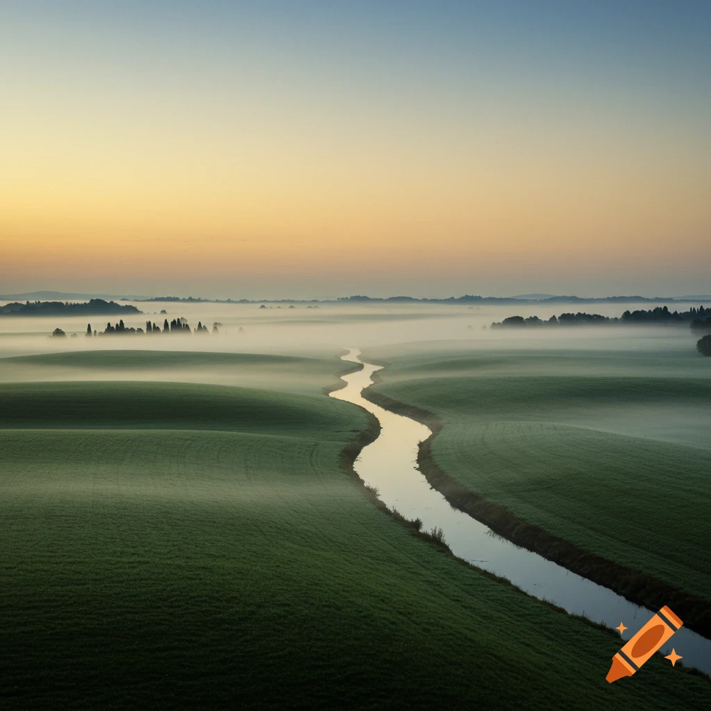
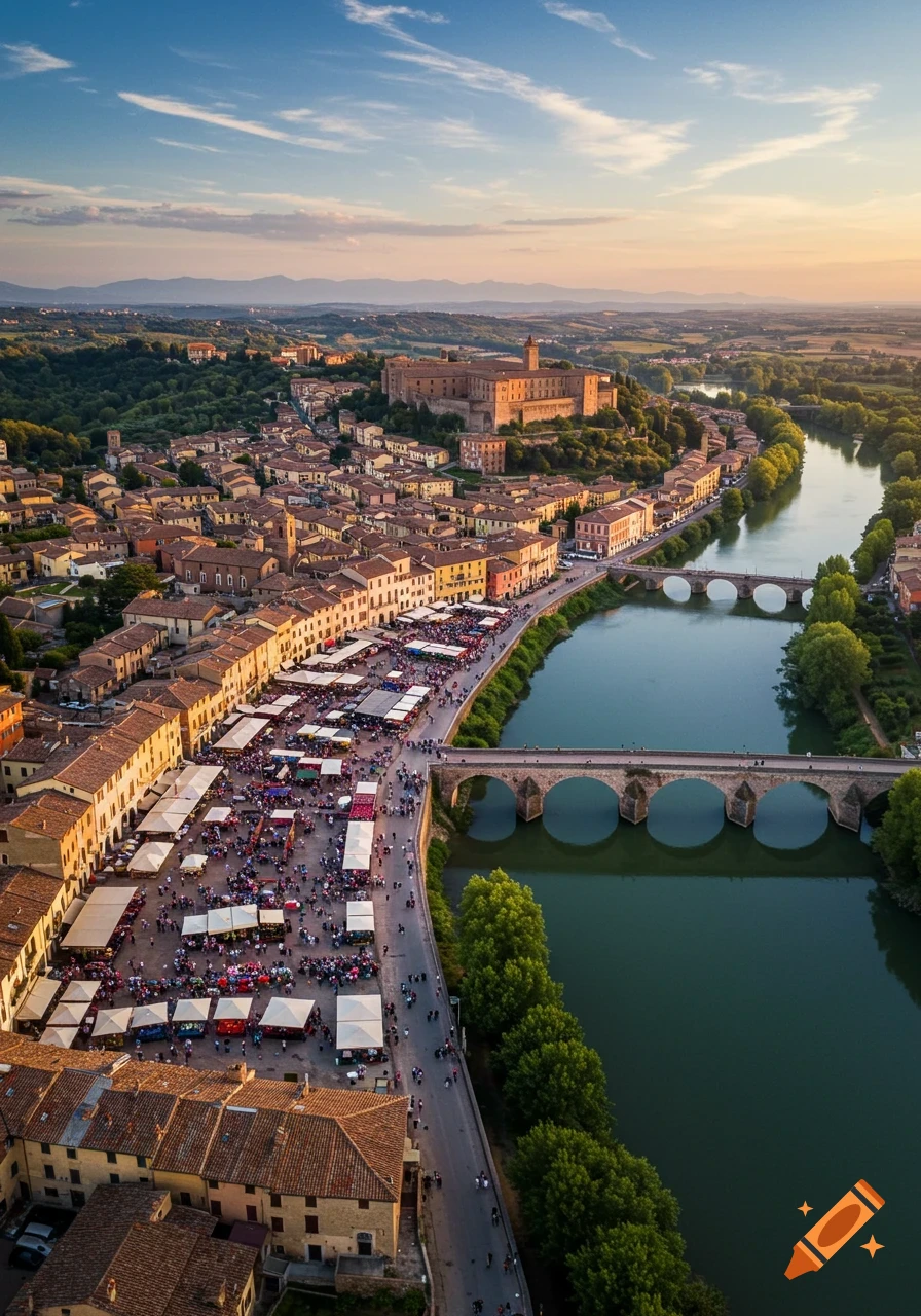
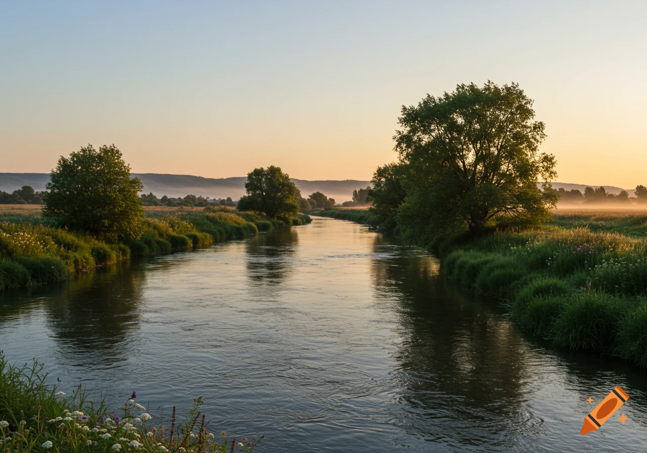
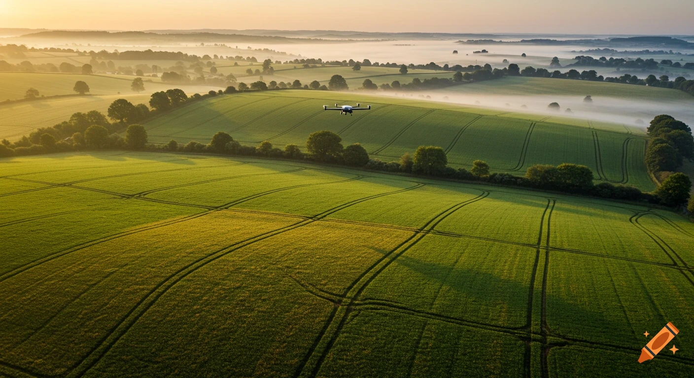
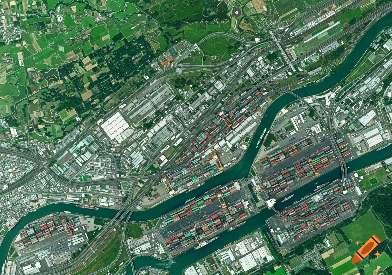
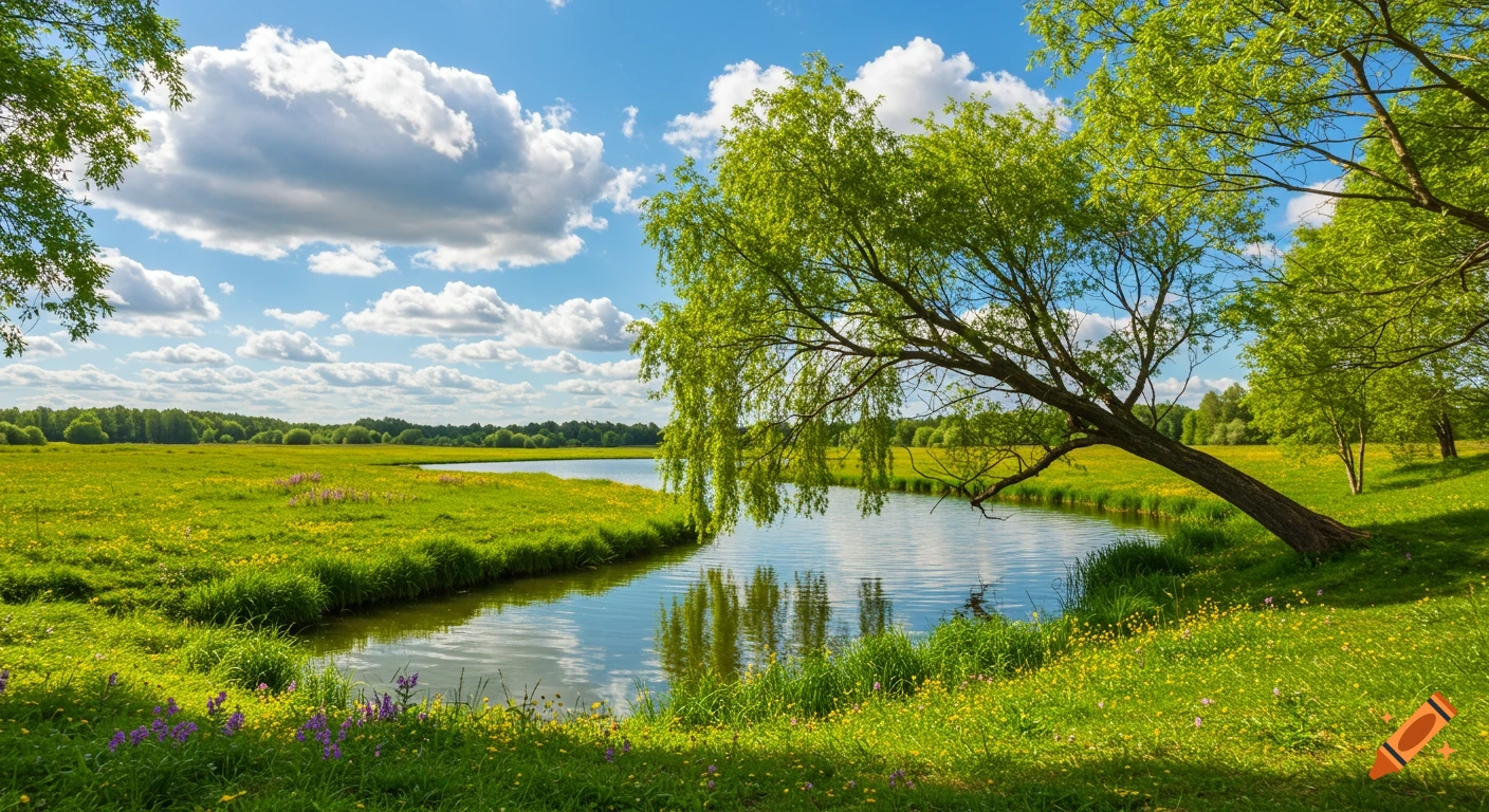
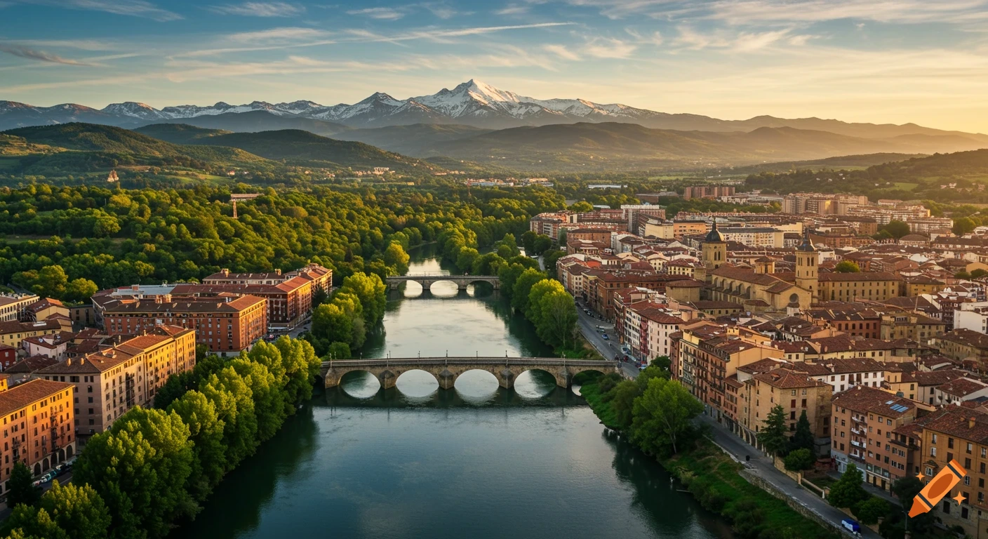
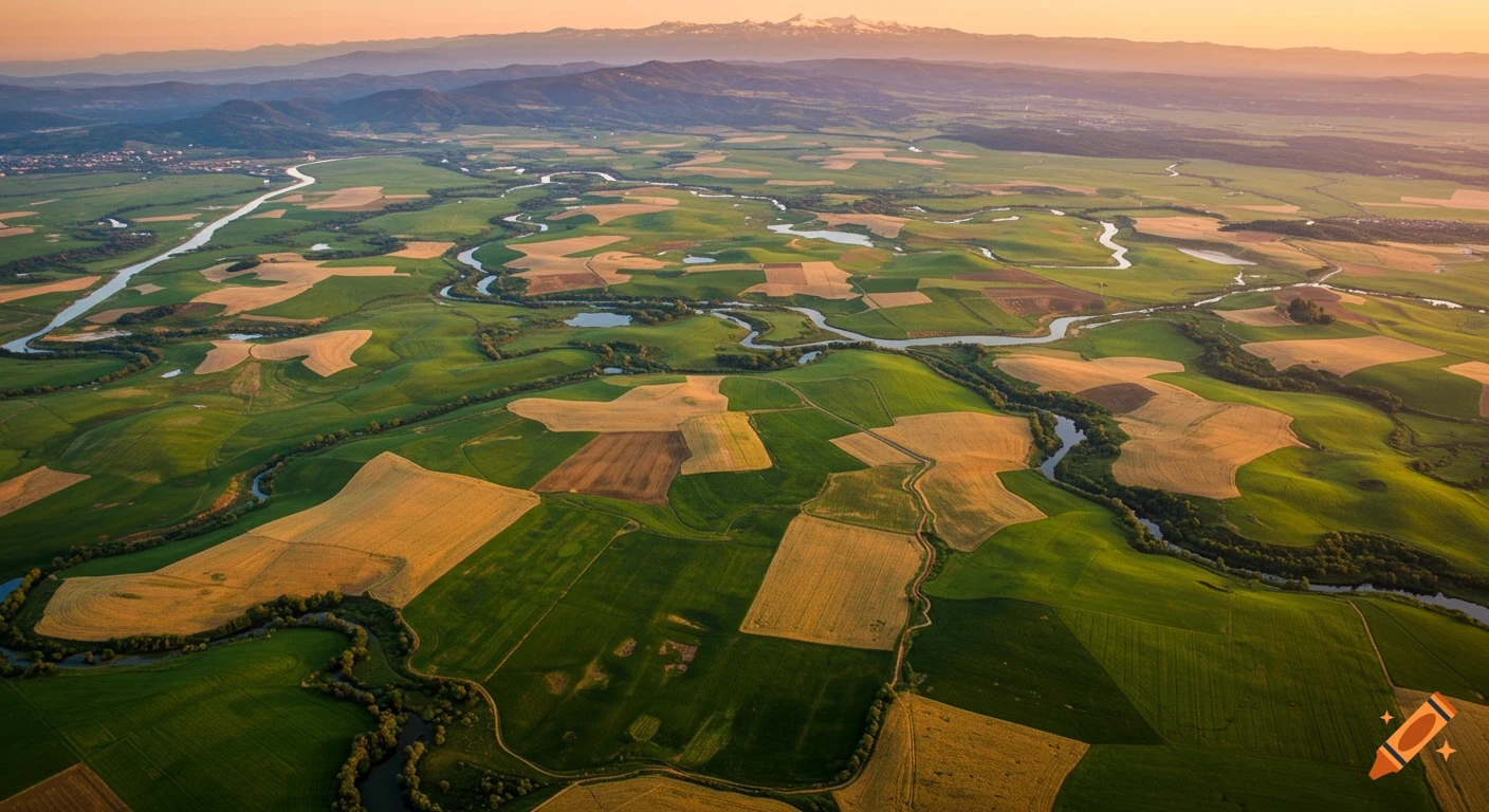
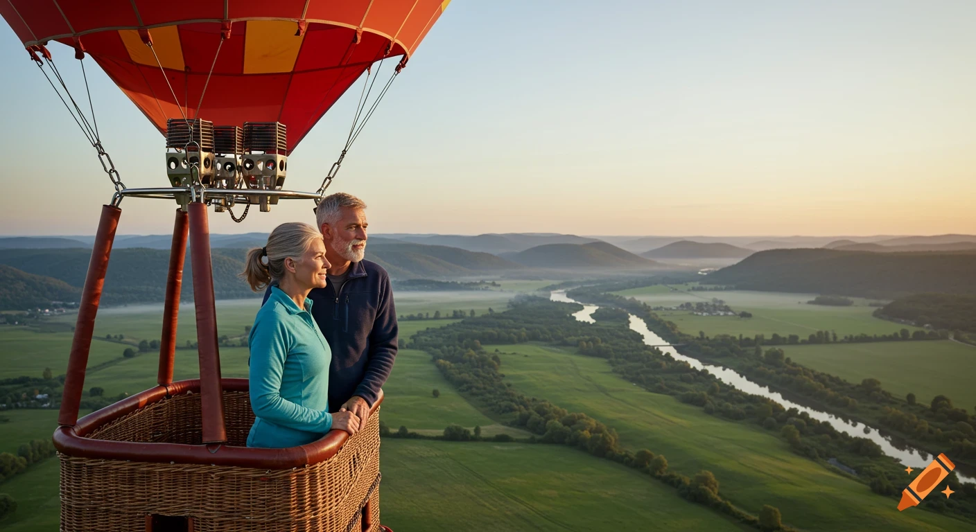
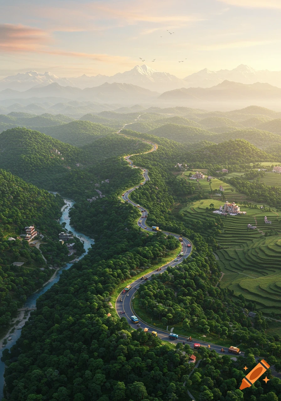
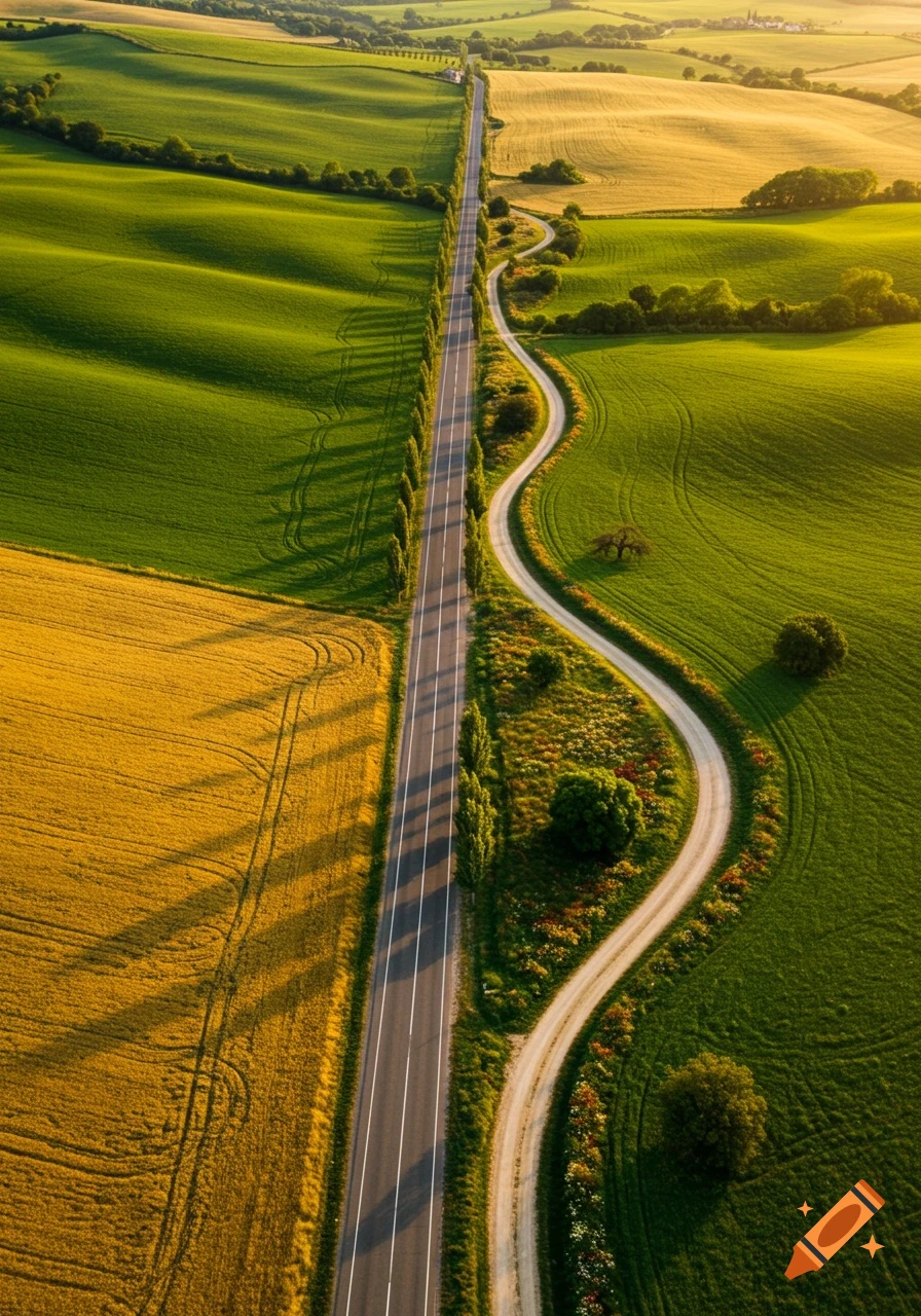
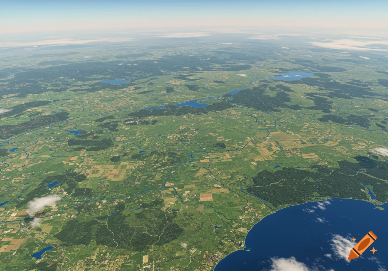
Aerial view of a winding river flowing through a green and yellow agricultural landscape with hills and forests.

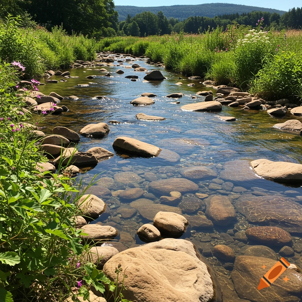
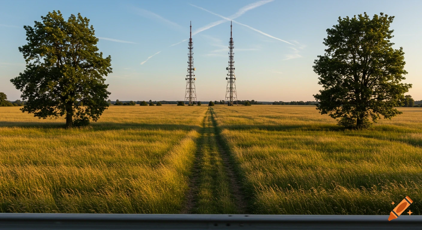
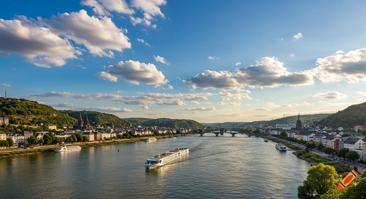
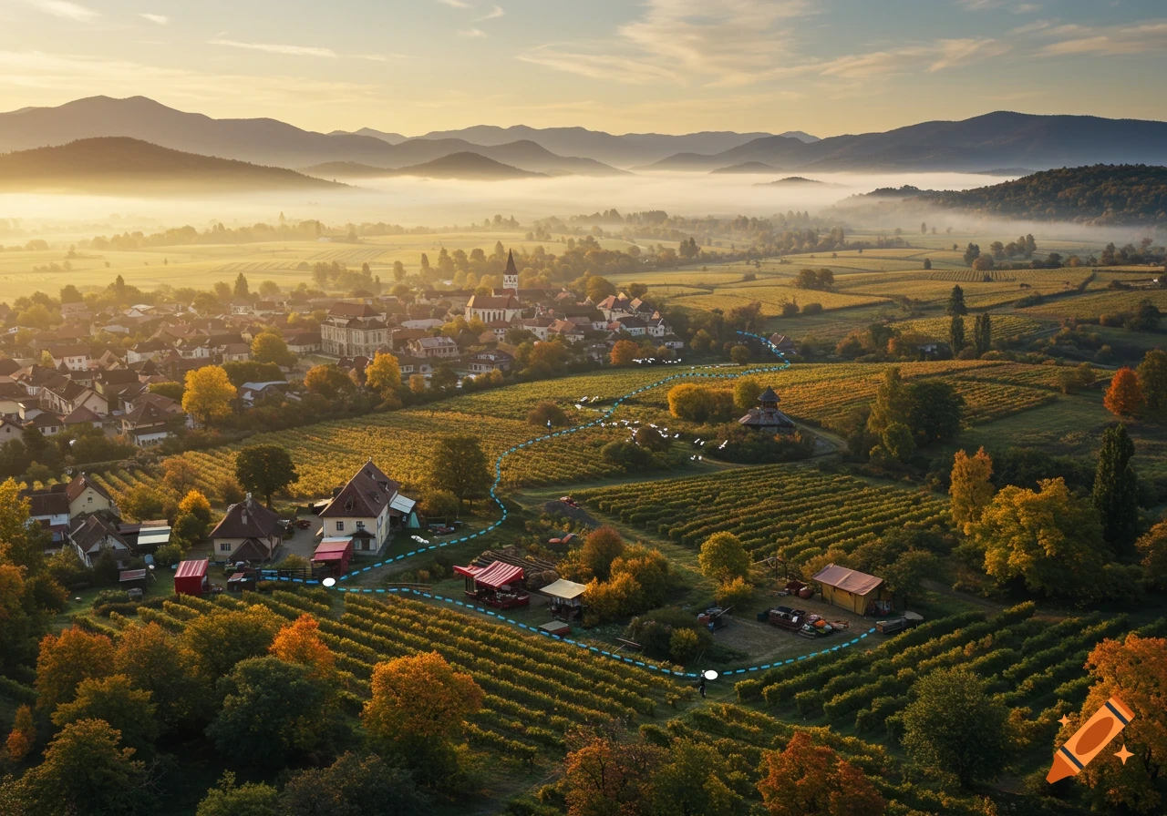
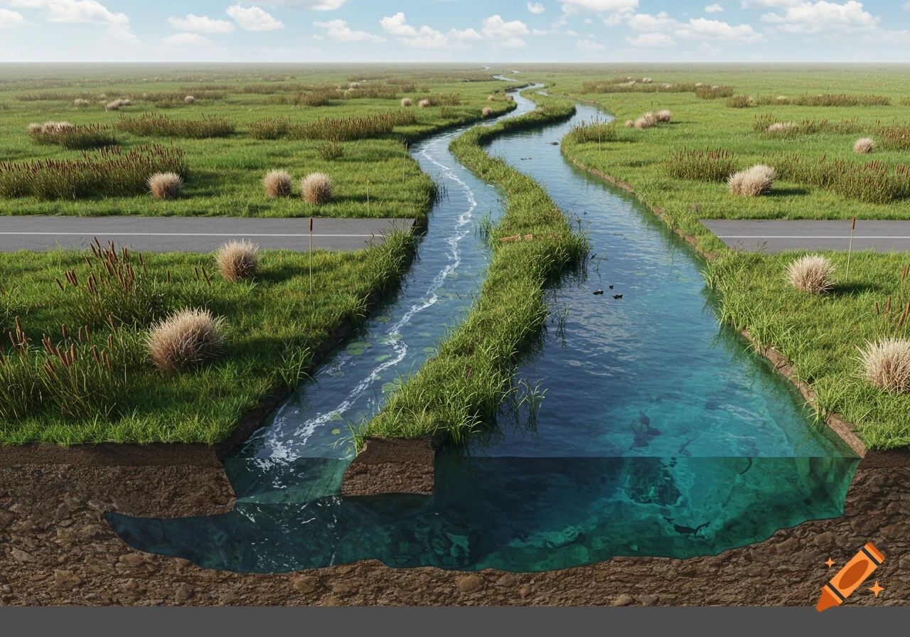
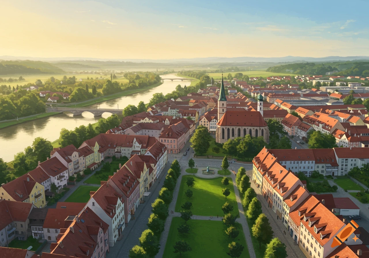
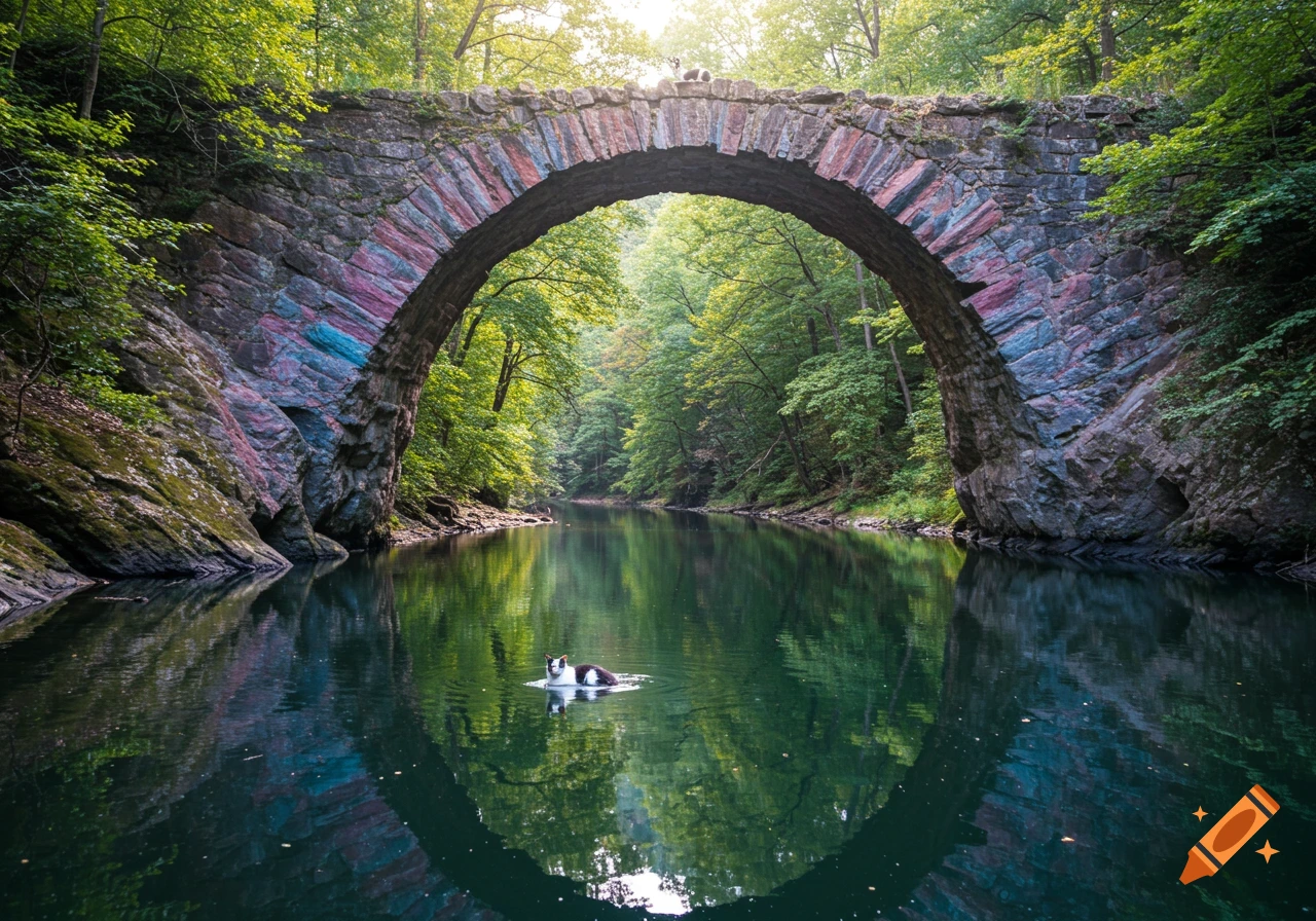
A photorealistic, wide-angle satellite and aerial photography of the entire Leitha river course from above. Looking from eastern Austria towards Hungary. A winding riverbed starting in a hilly green landscape, transitioning into flat agricultural fields with a mosaic of green and yellow patches. On one side, the gentle hills of the Leitha Mountains with vineyards. The river partly shows a dry, gravelly riverbed lined with trees, and partly a narrow green-blue water stream. High altitude perspective, curved horizon in the far background, bright sunny day, cinematic lighting, highly detailed, 8k resolution, realistic geographic map style. Voir plus
More images like this