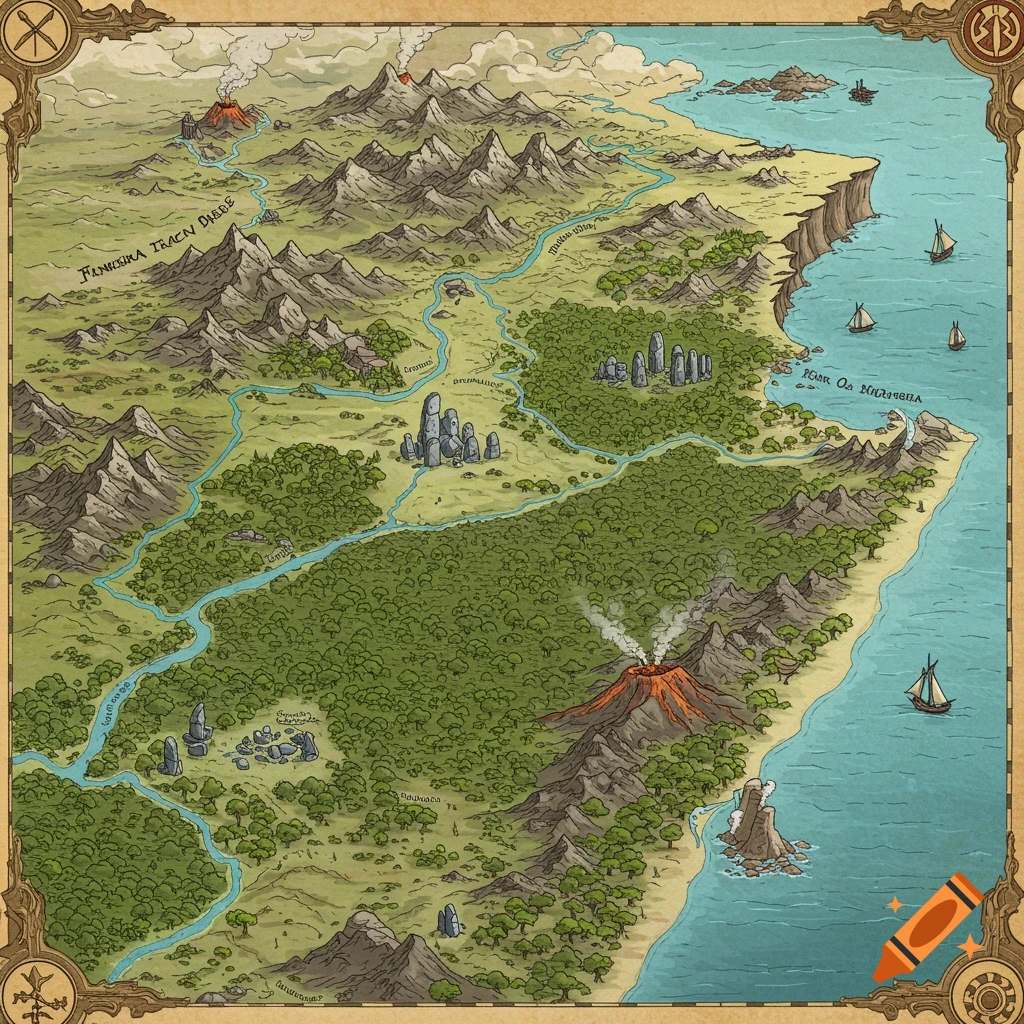
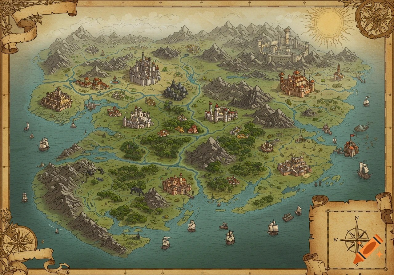
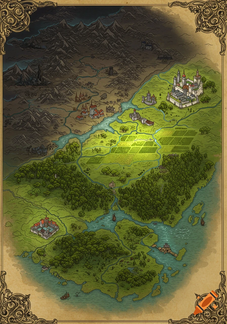
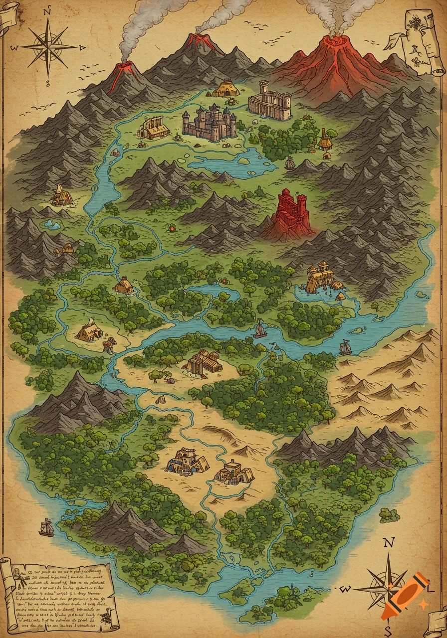
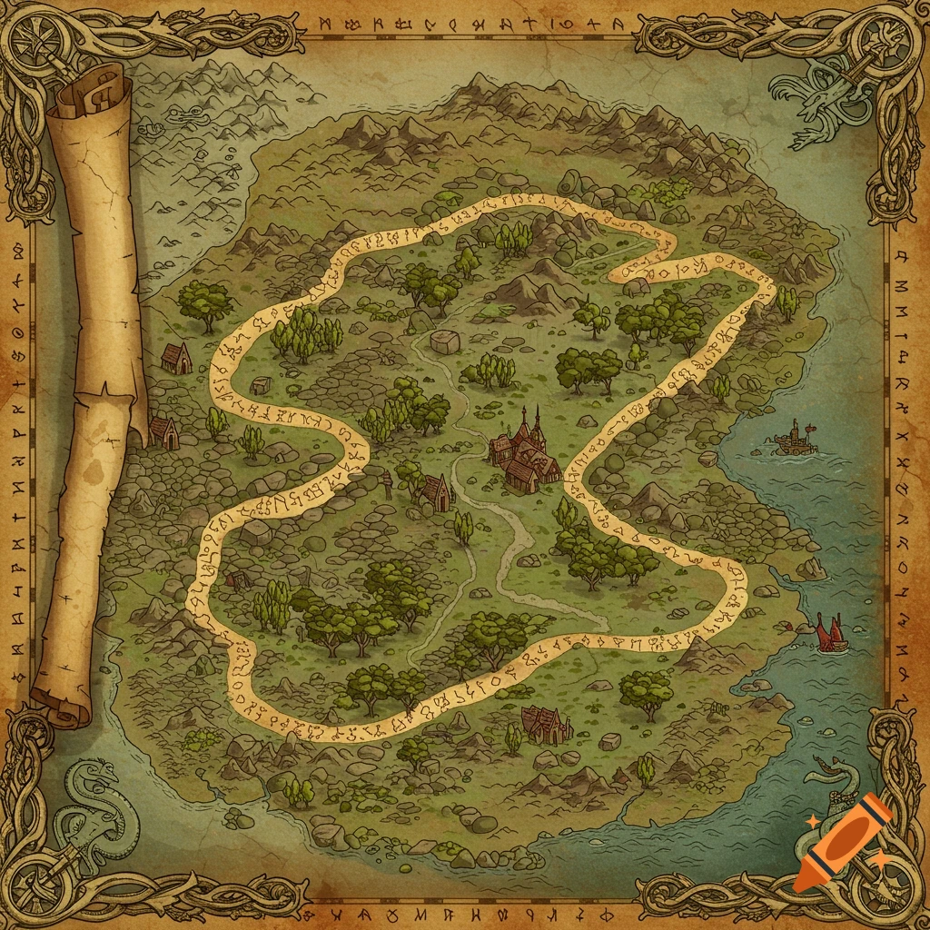
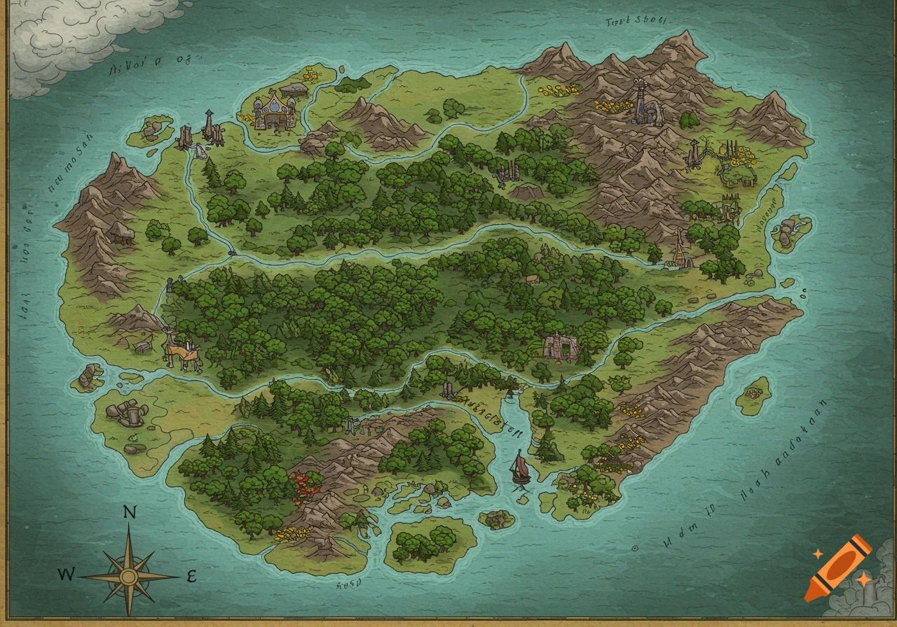
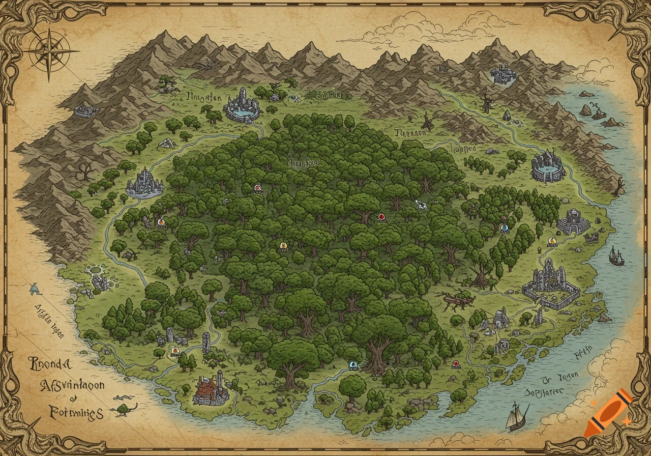
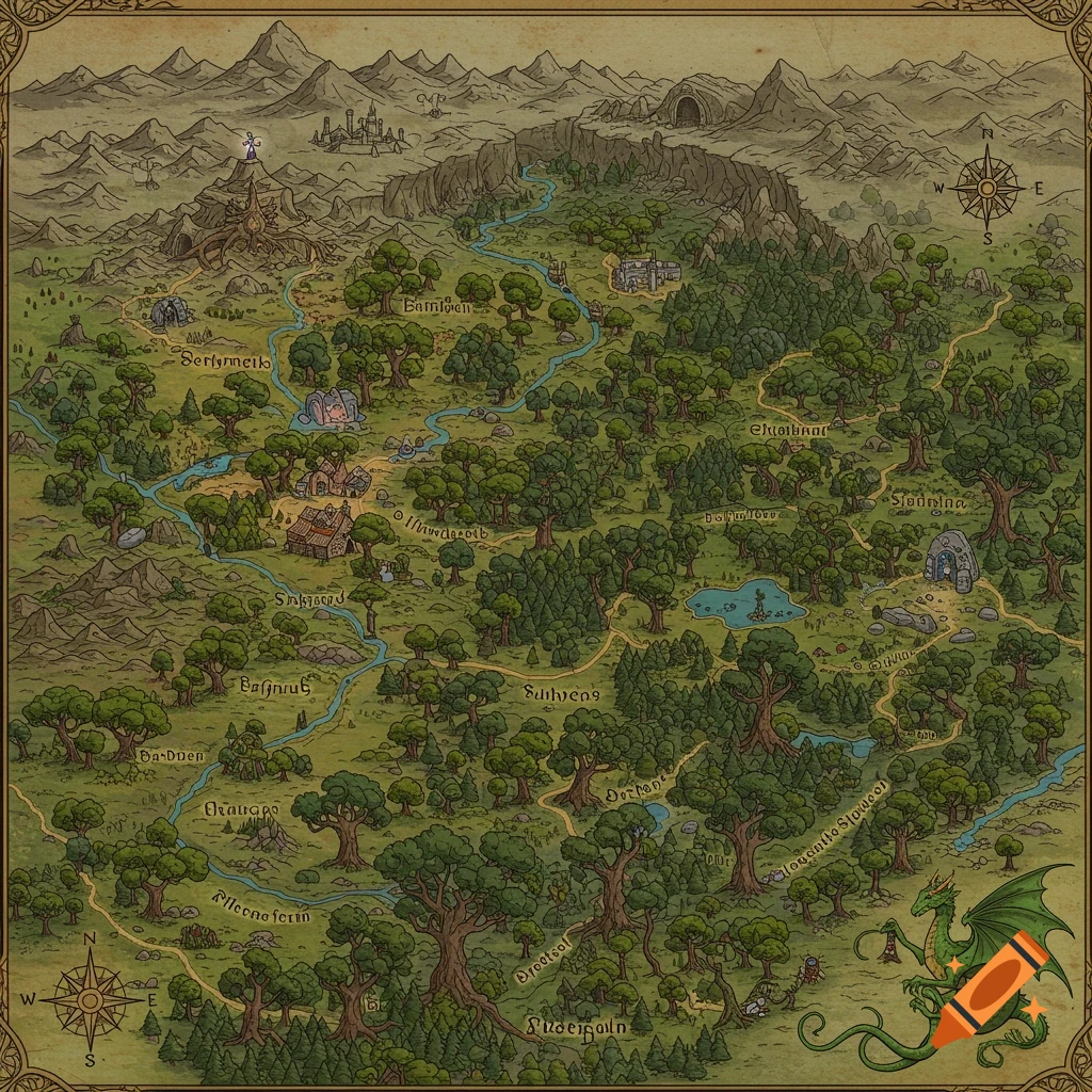
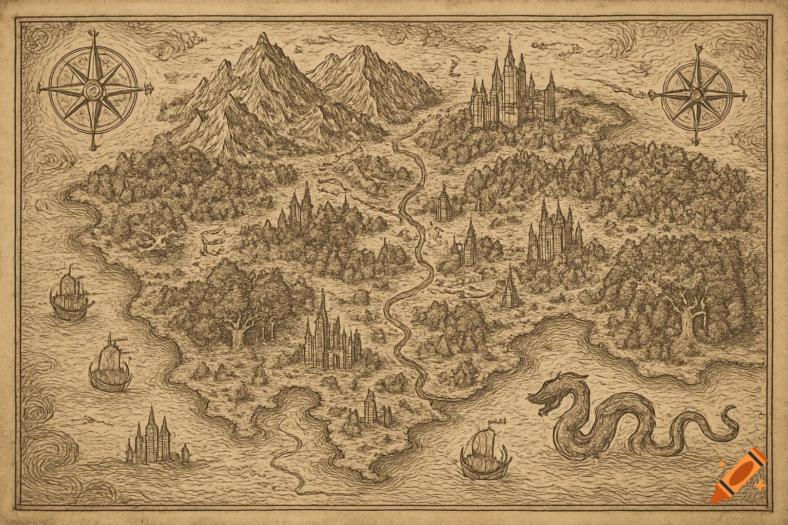
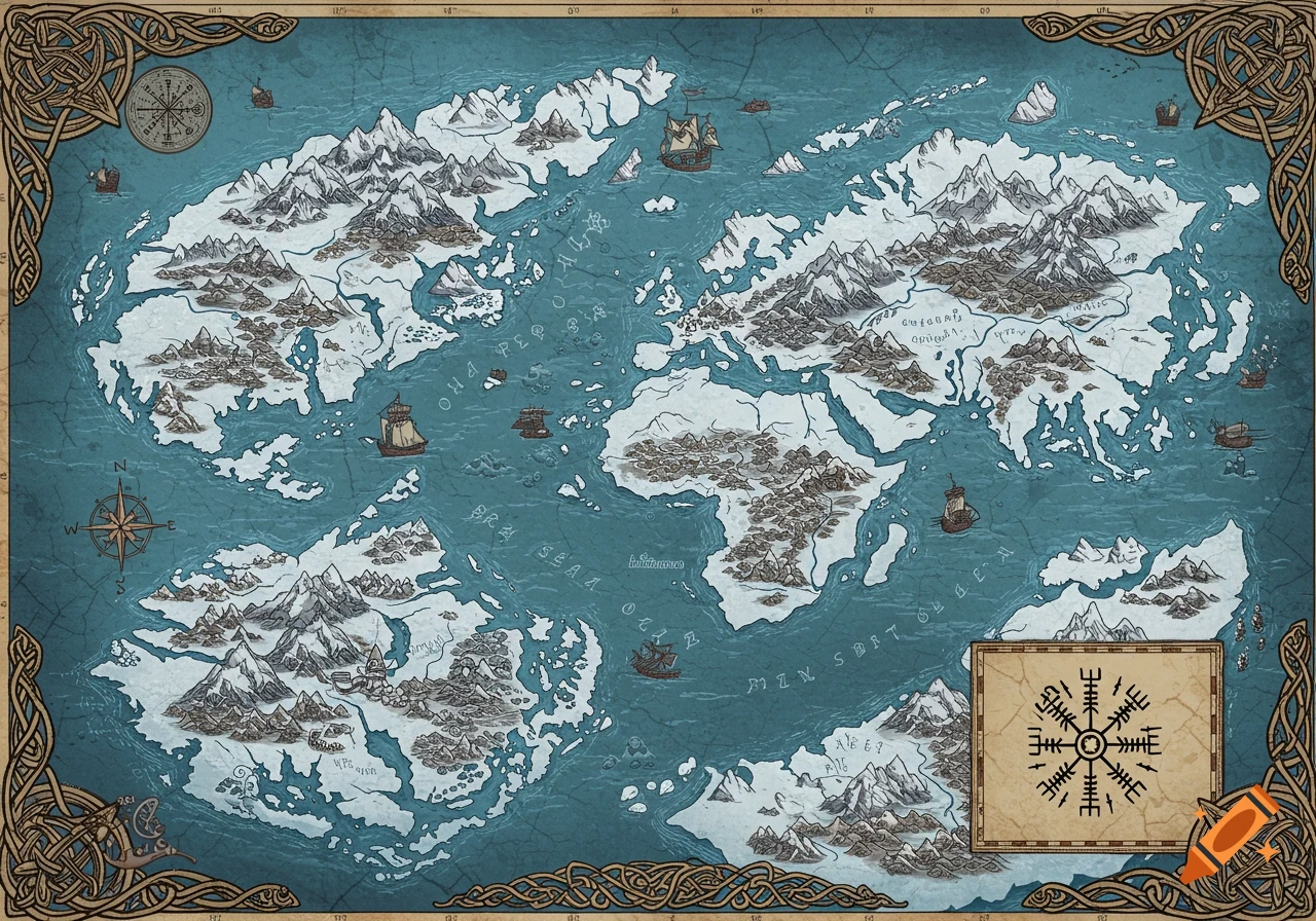
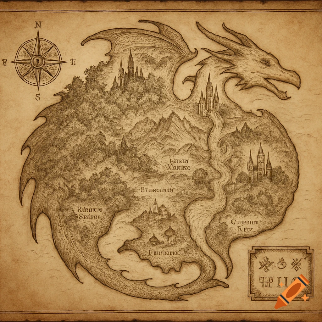
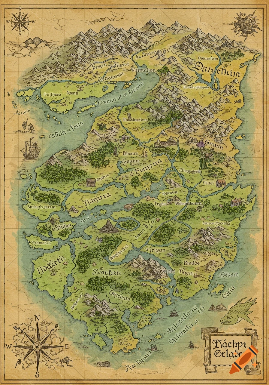
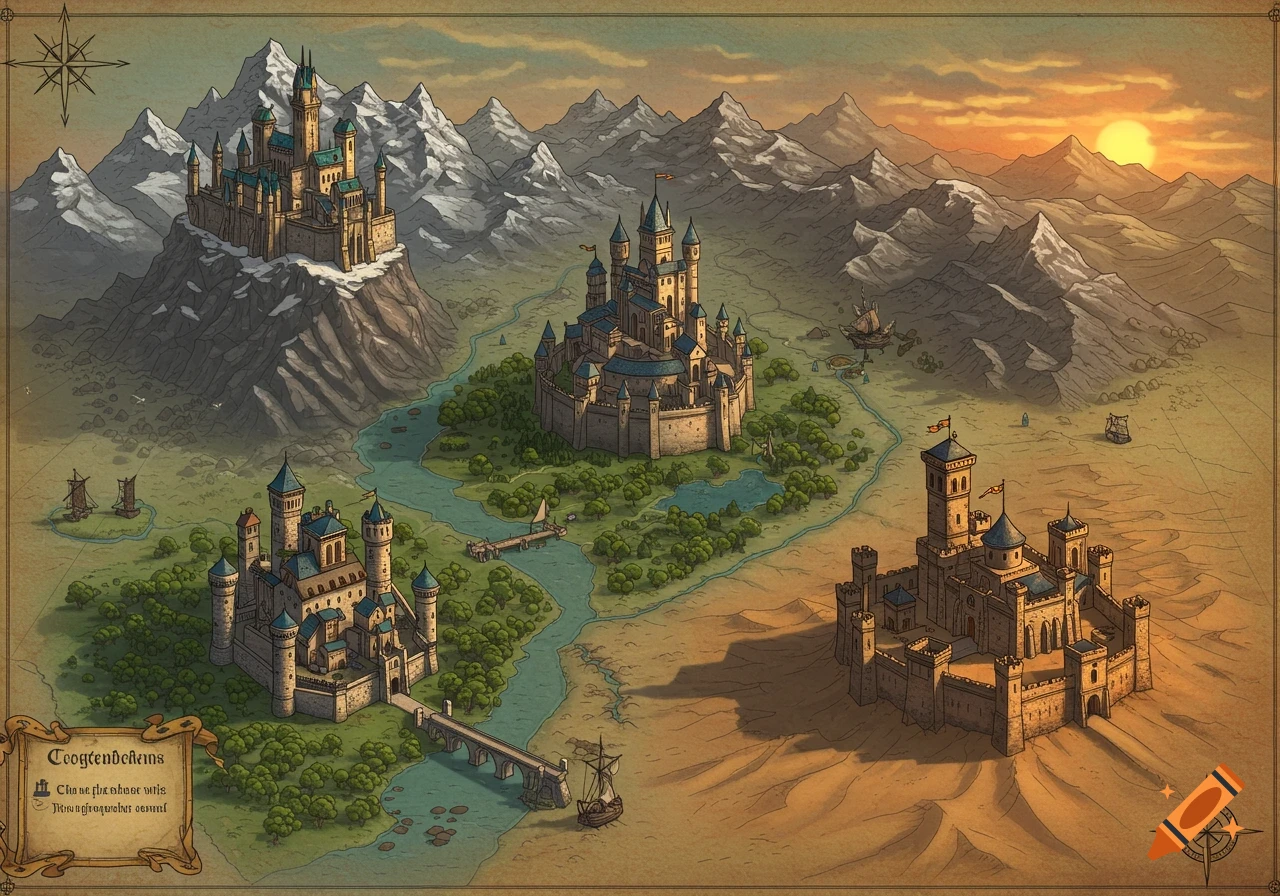
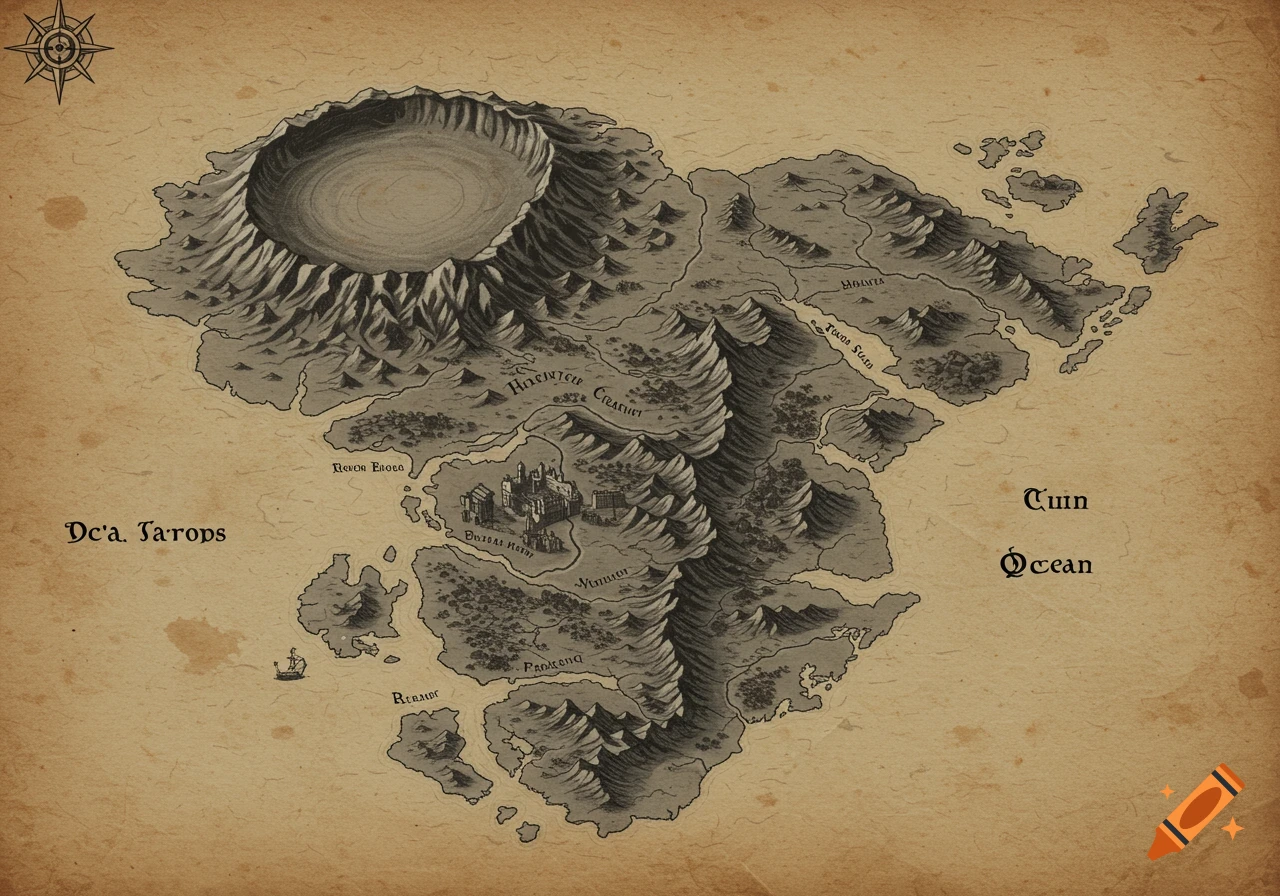
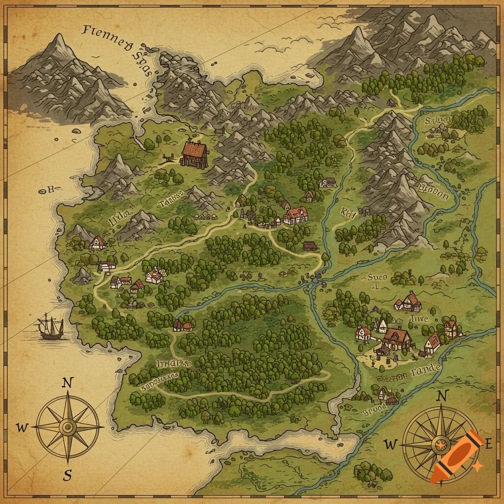
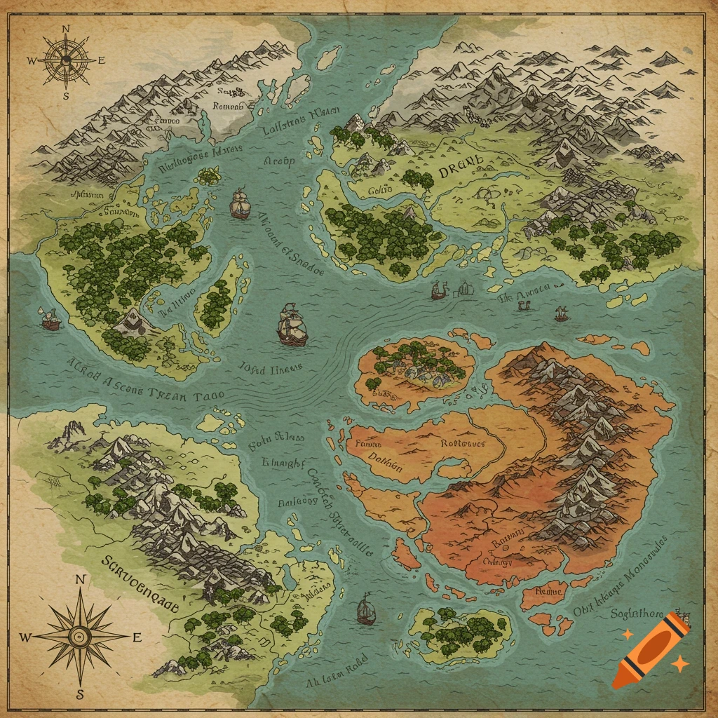
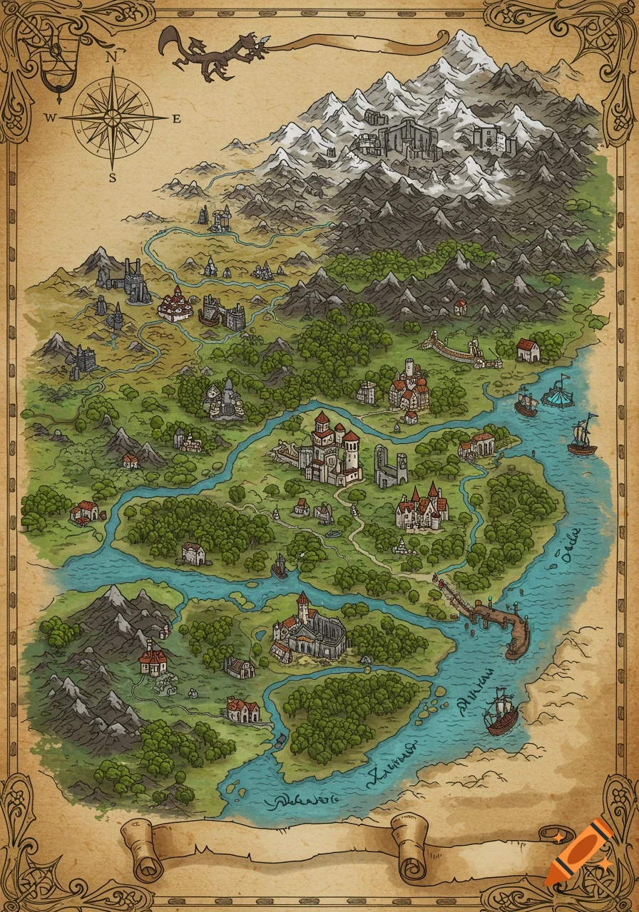
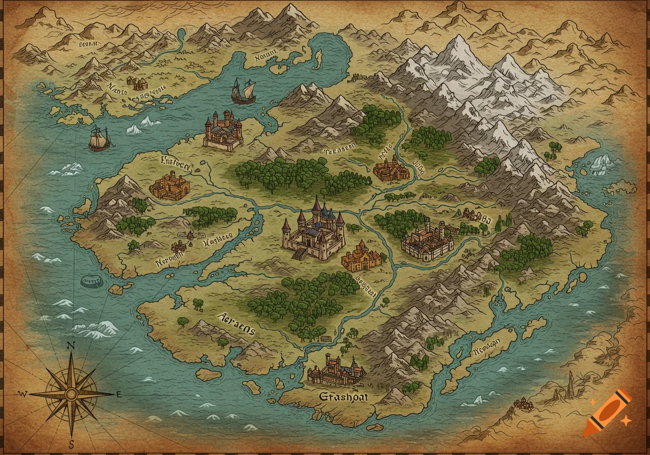
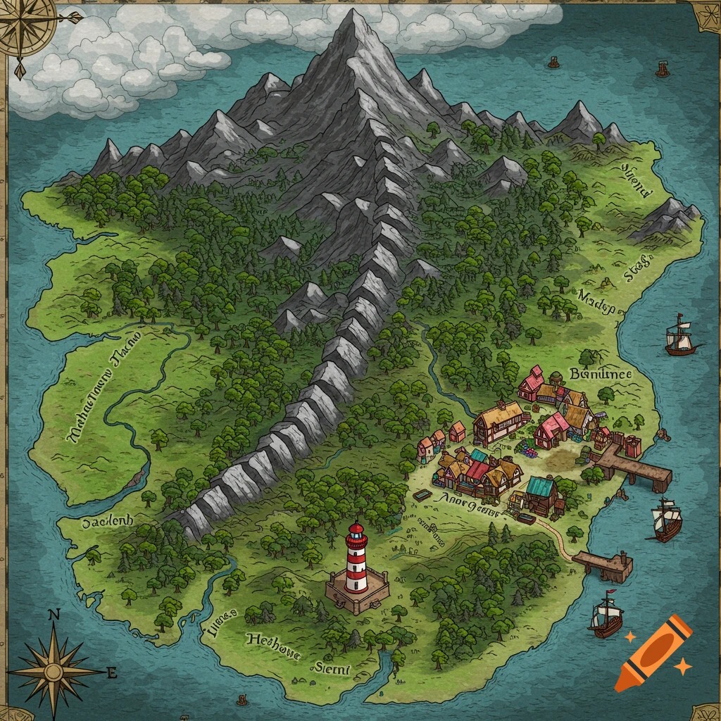
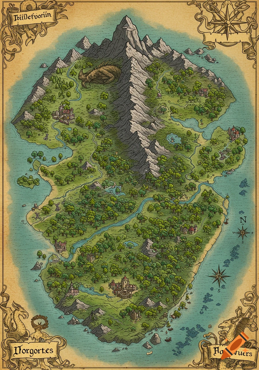
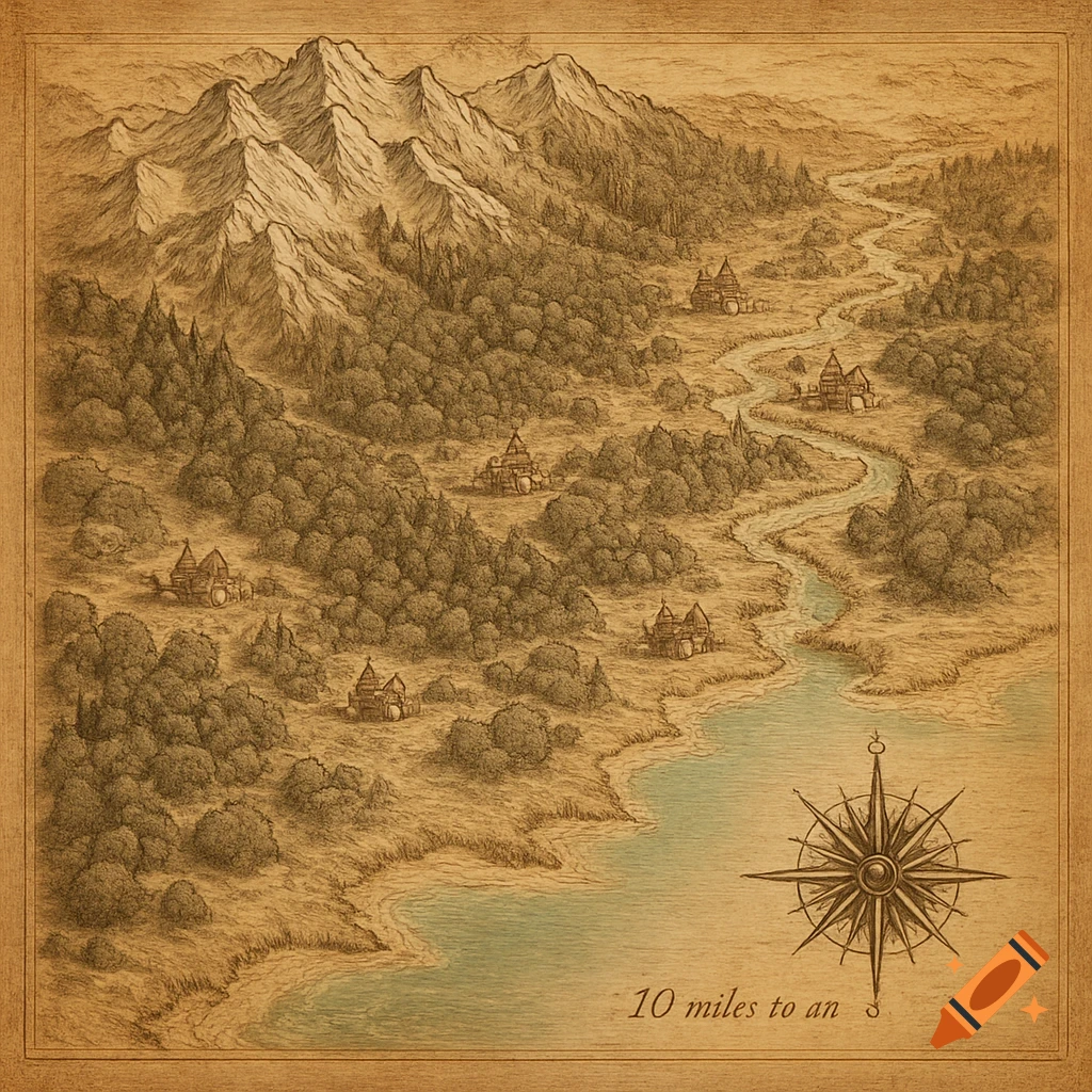
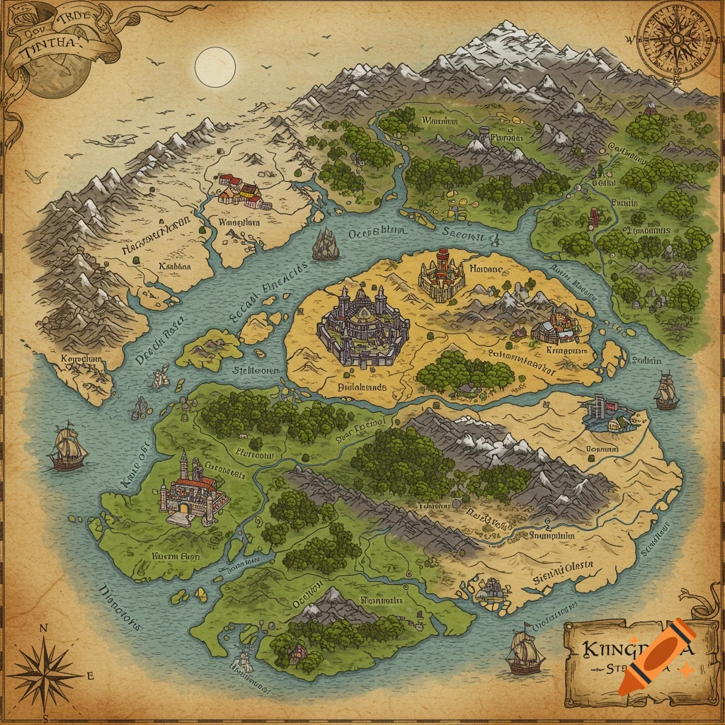
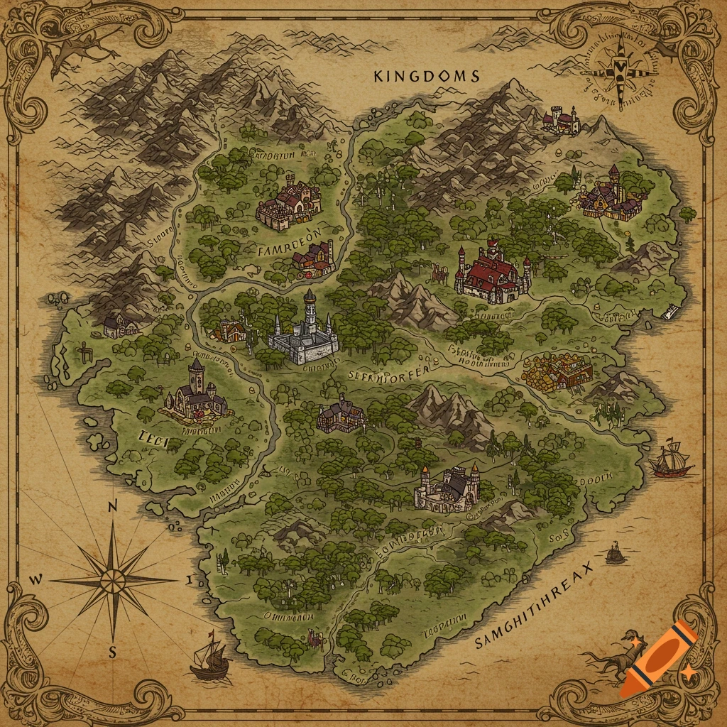
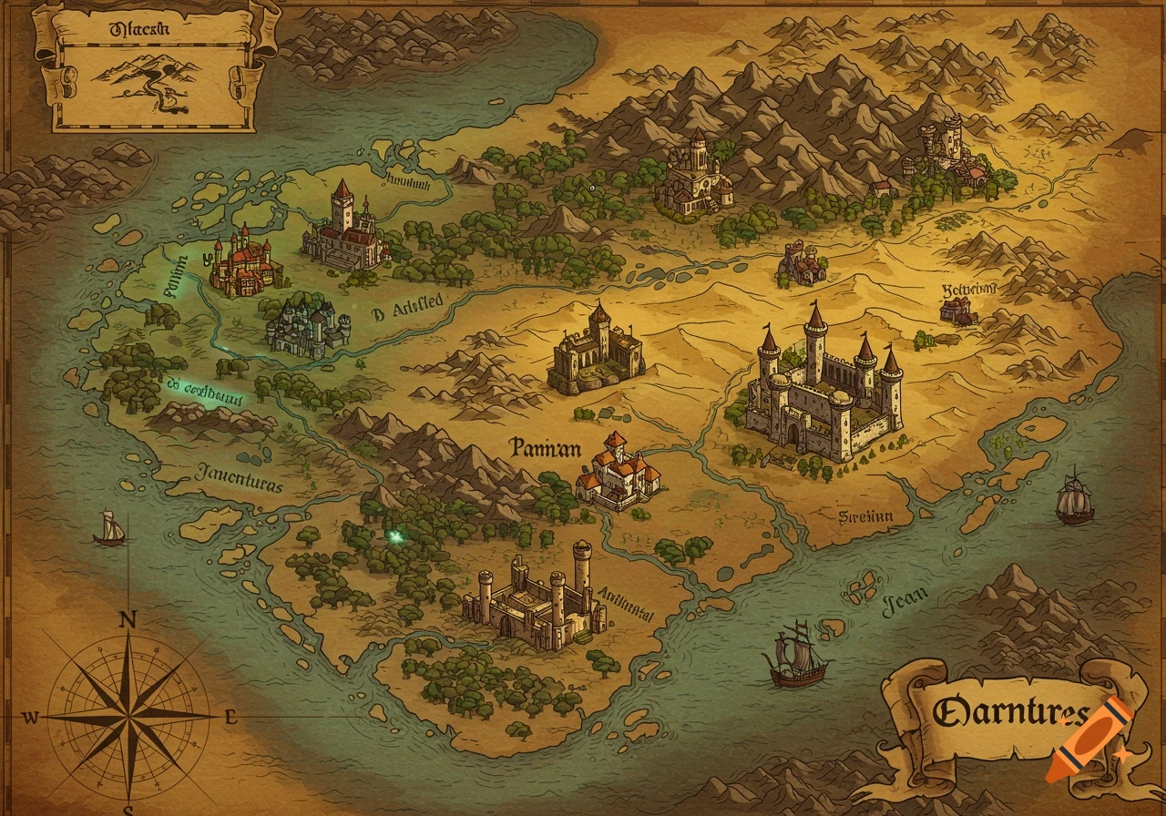
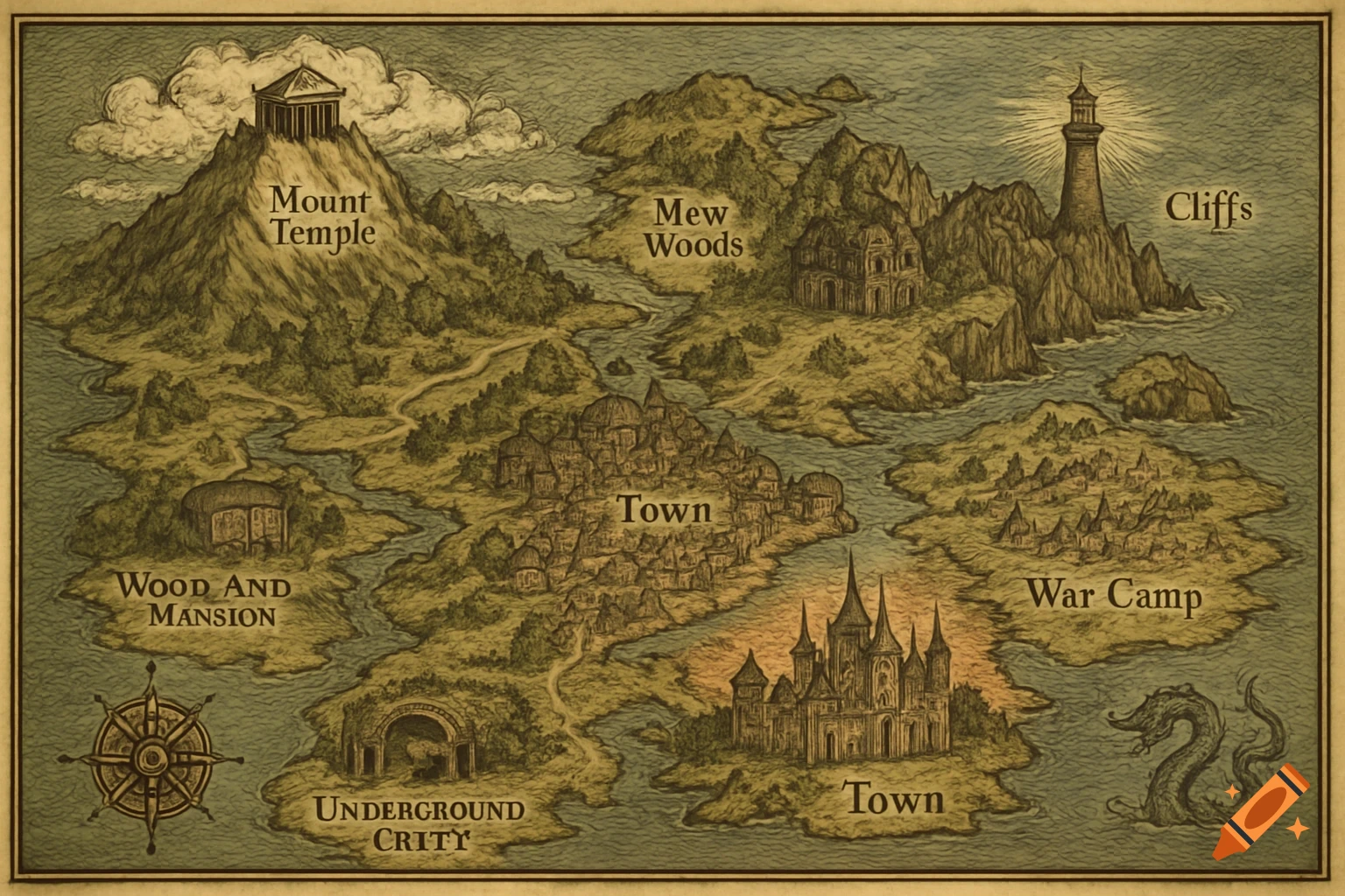
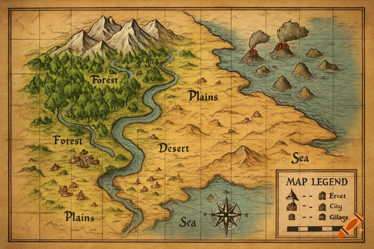
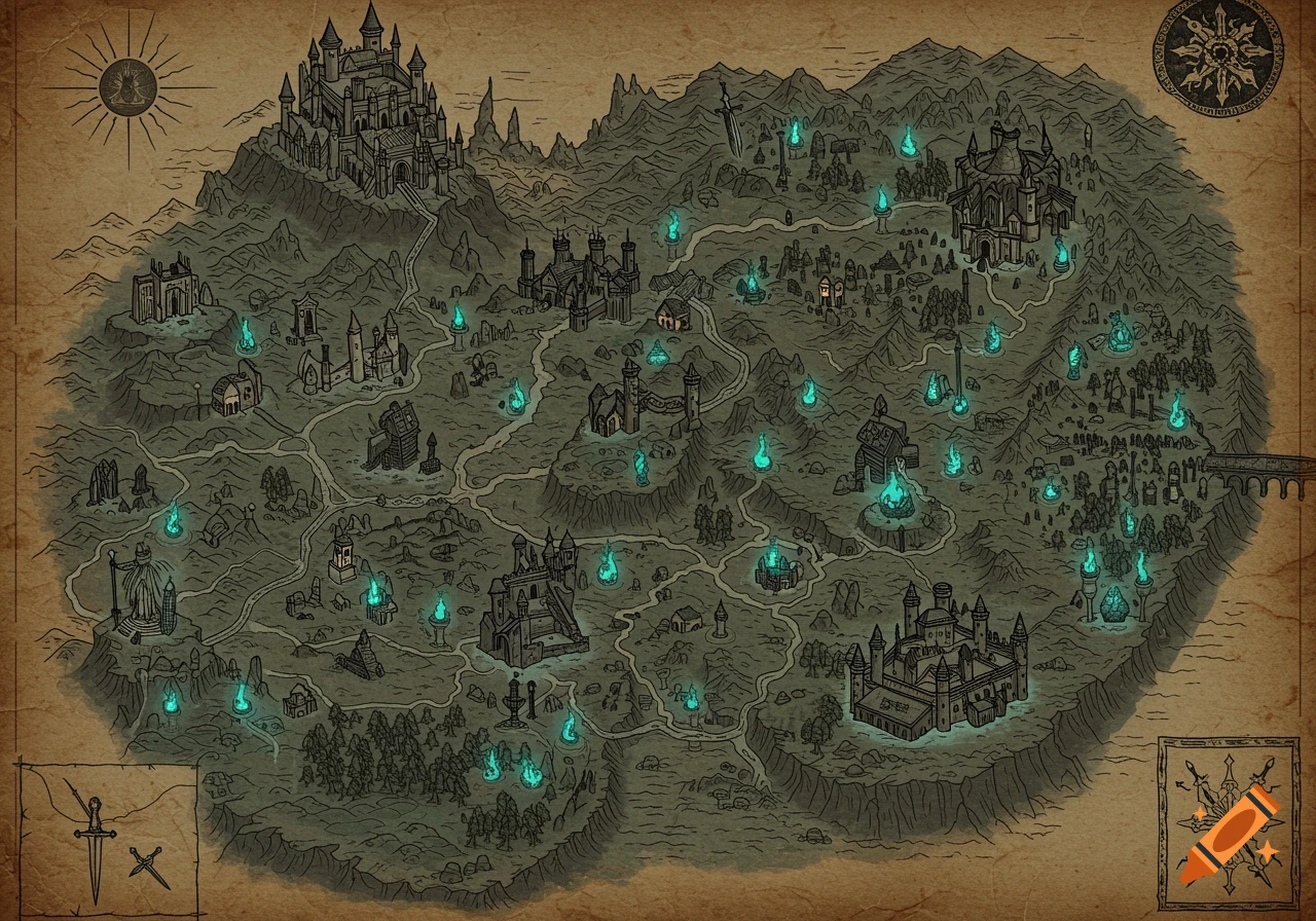
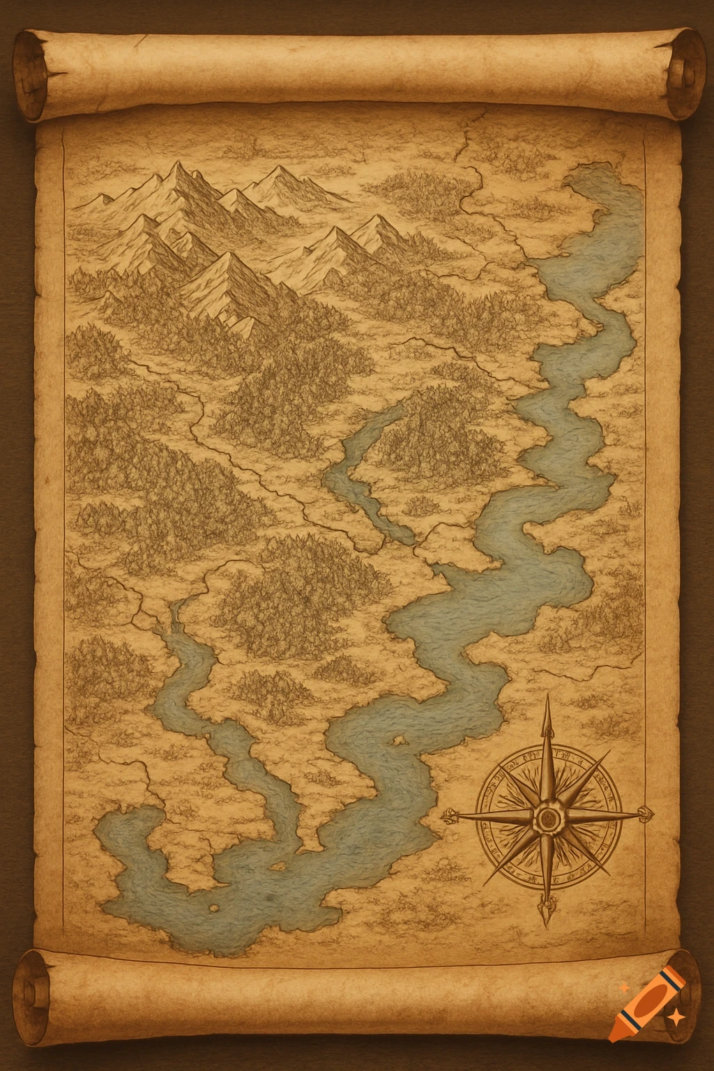
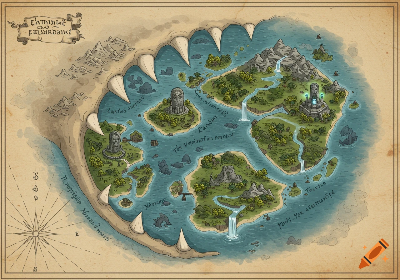
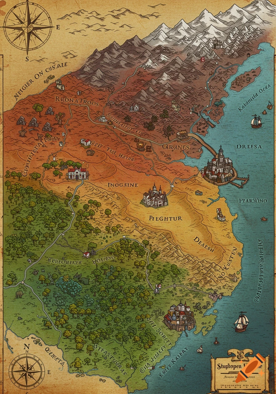
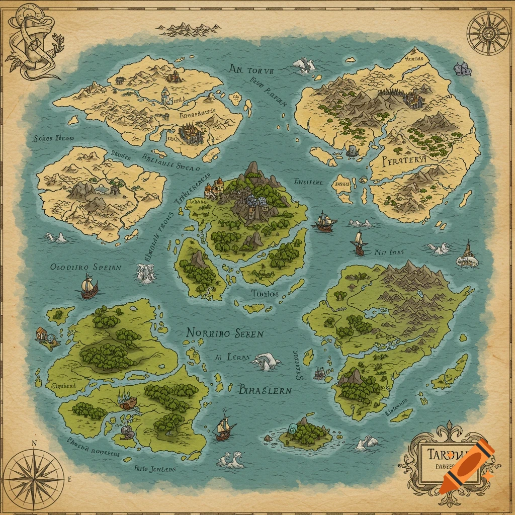
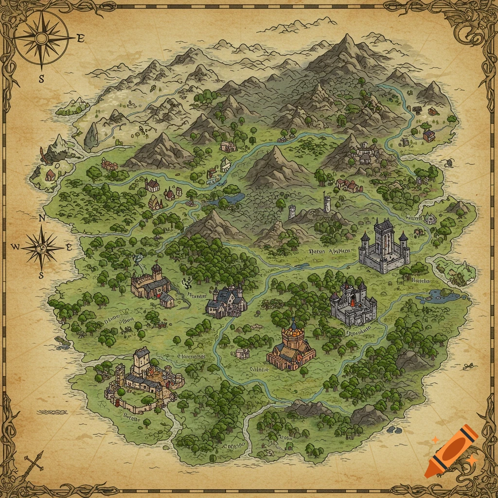
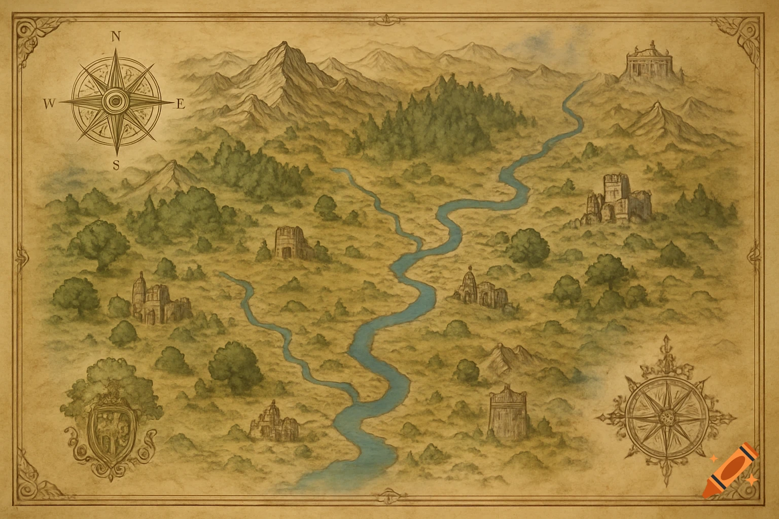
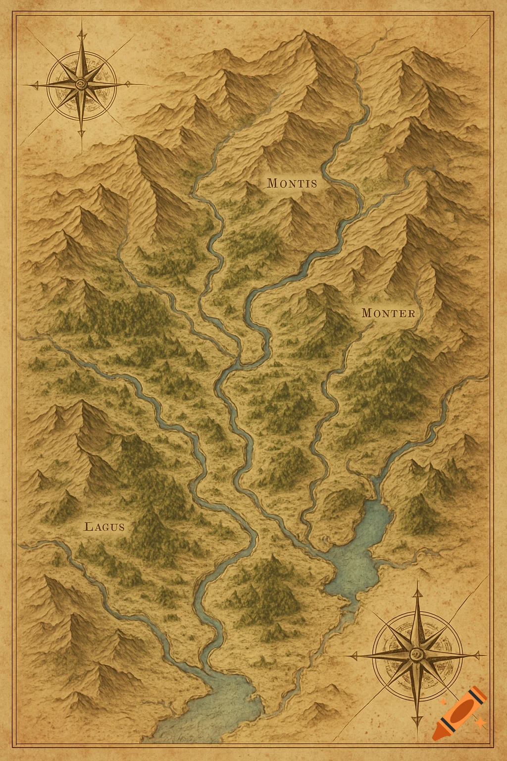
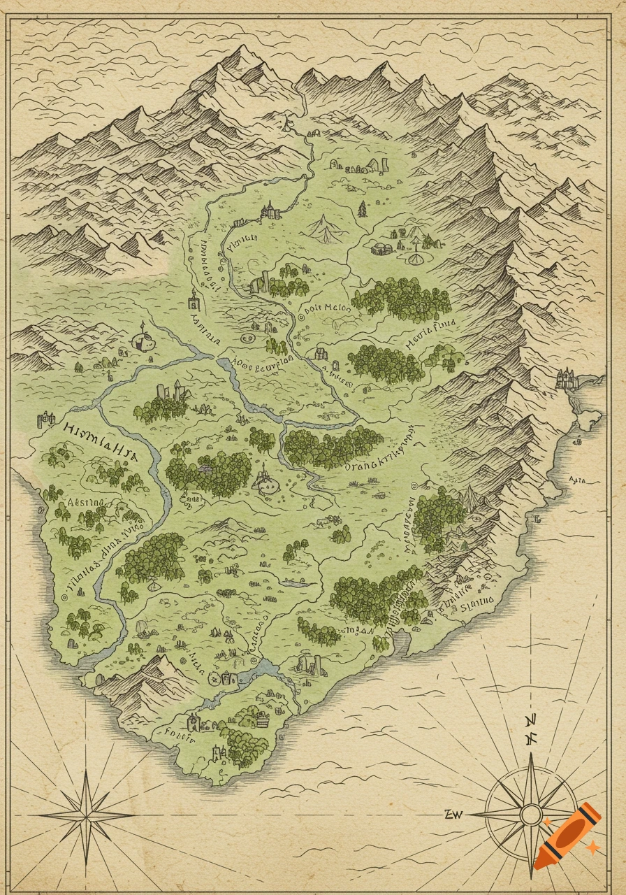
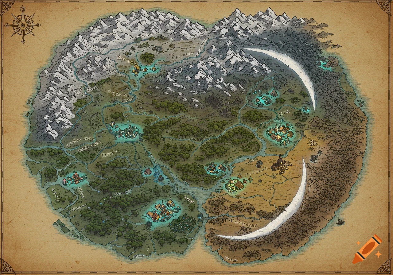
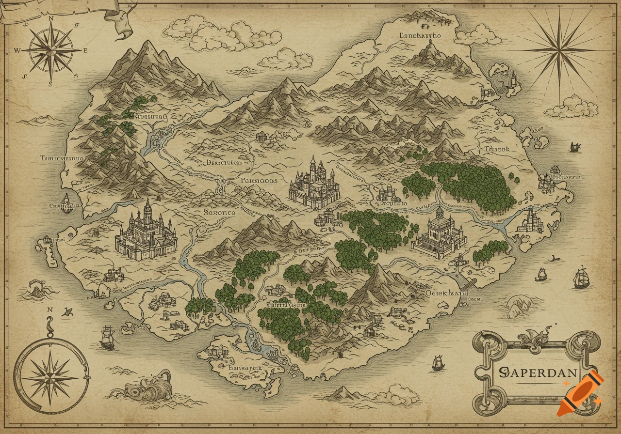
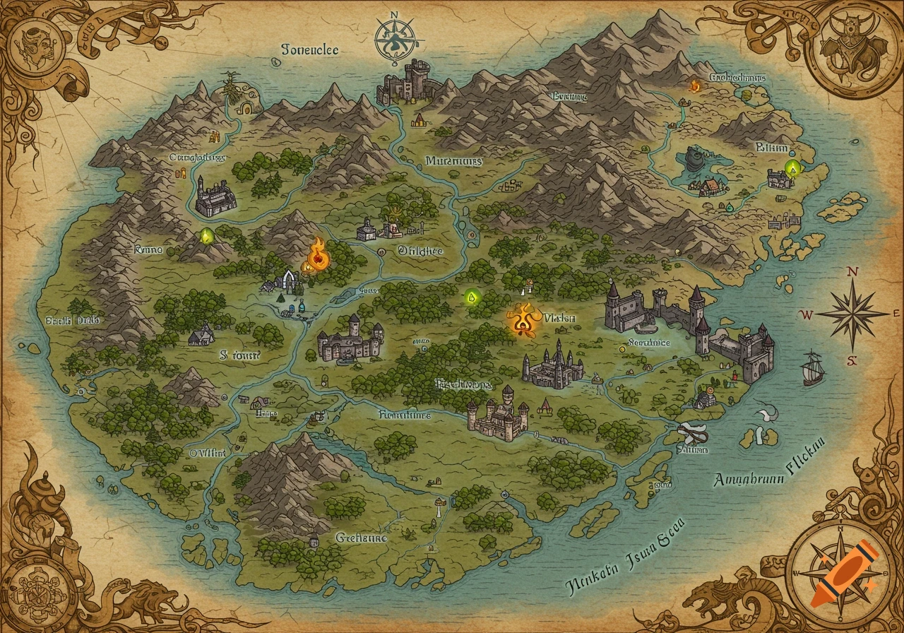
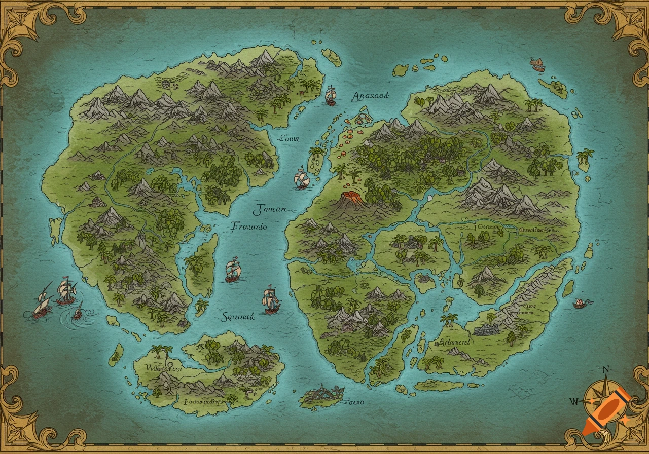
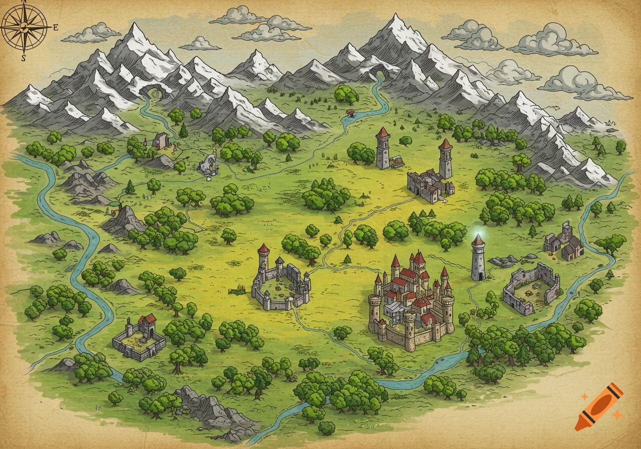
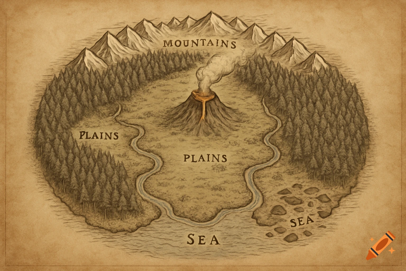
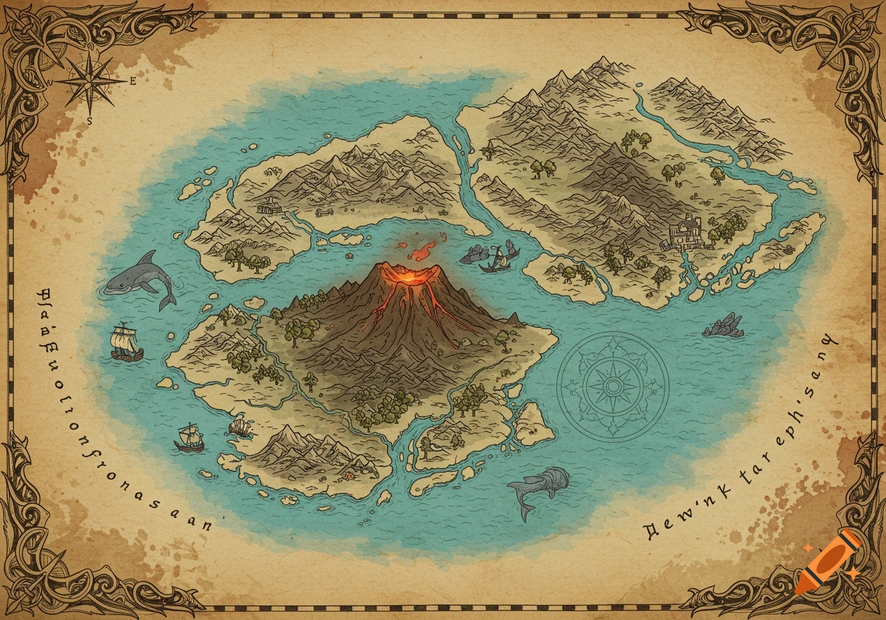
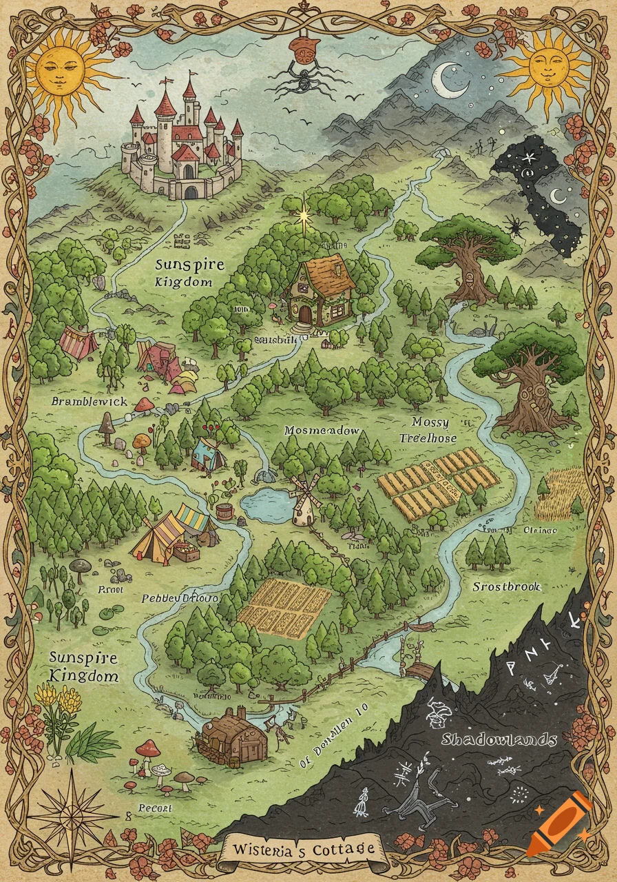
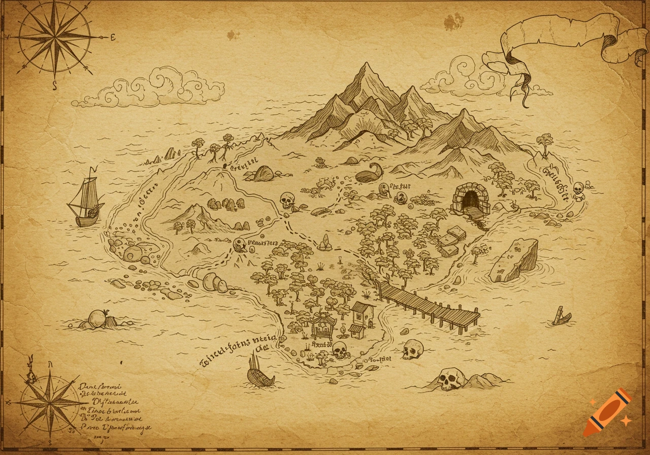
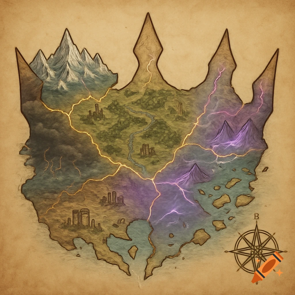
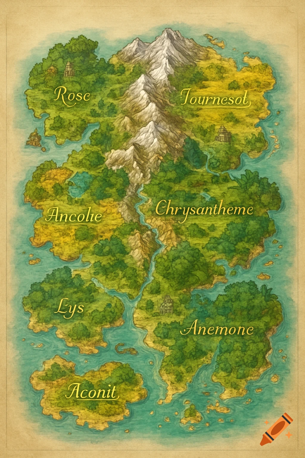
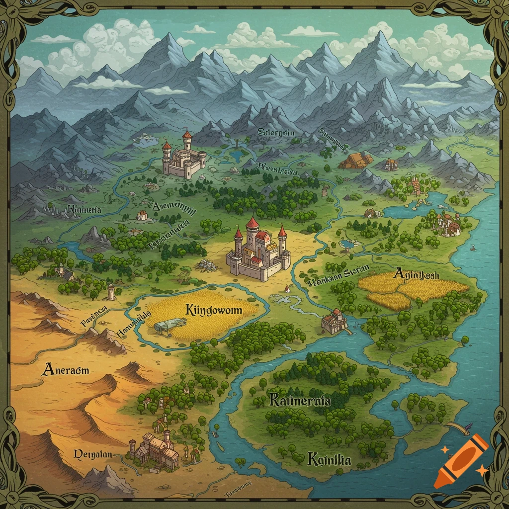
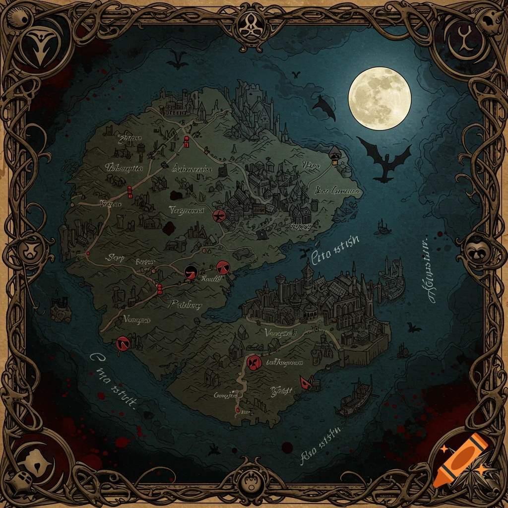
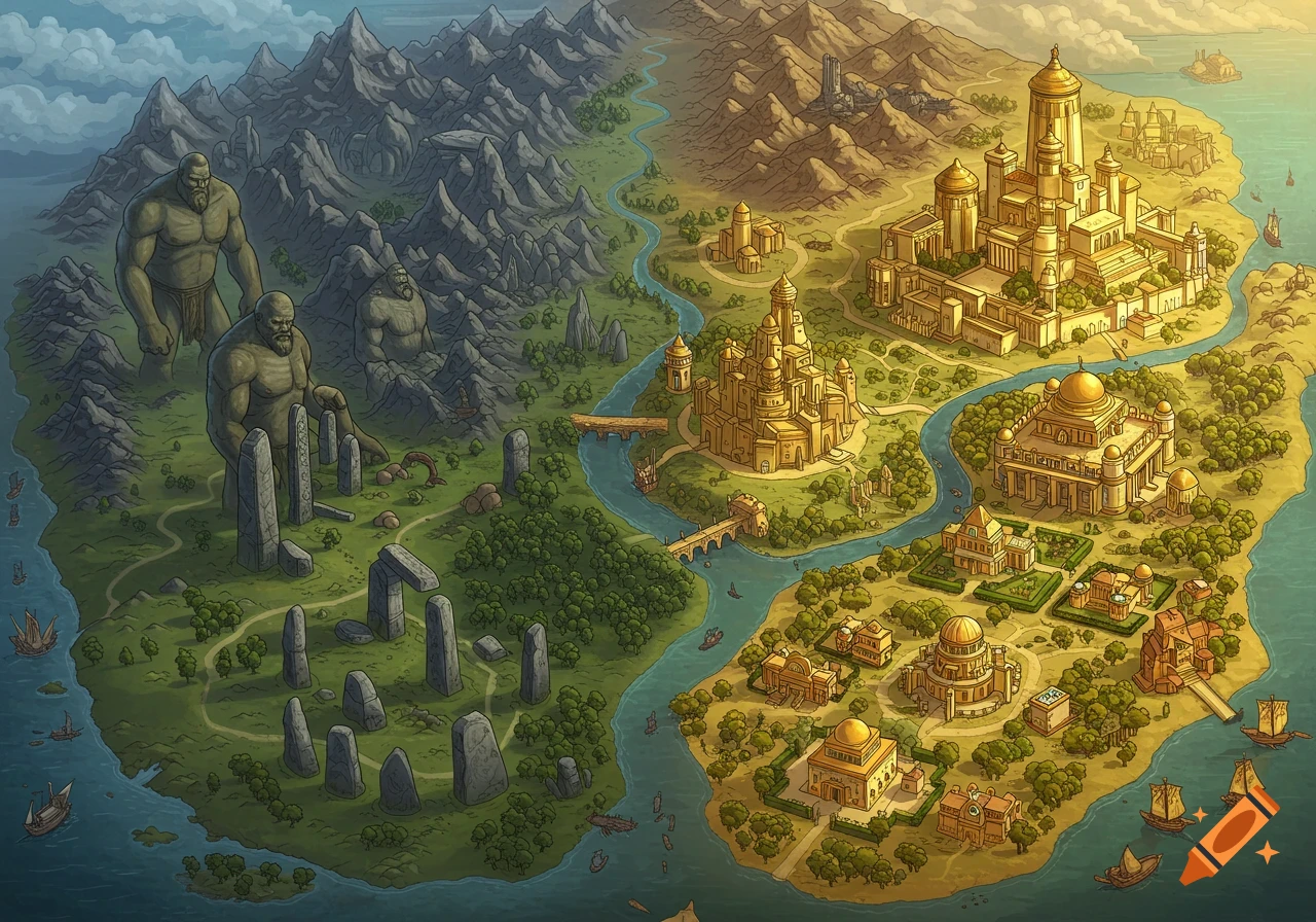
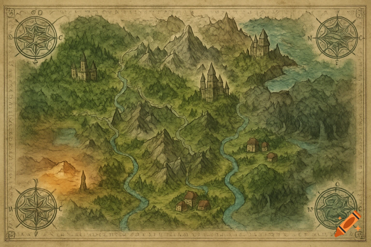
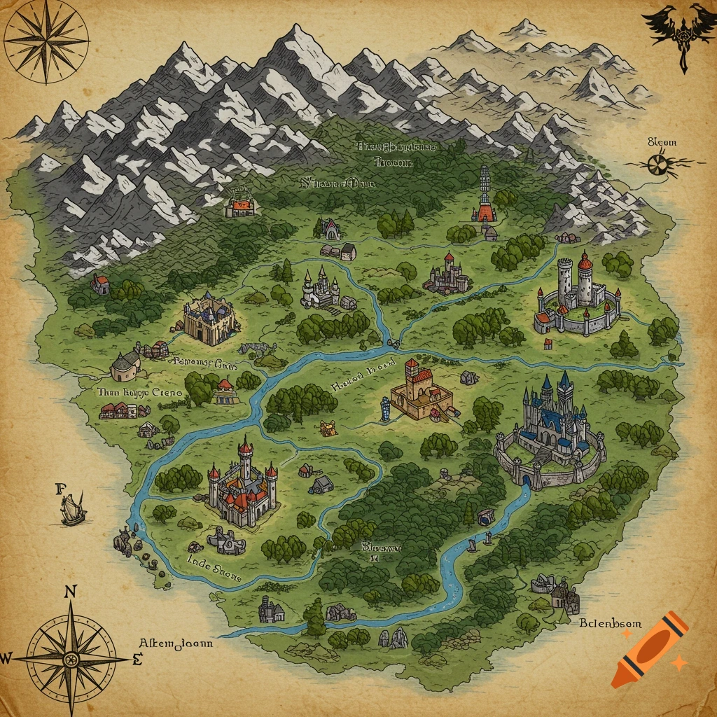
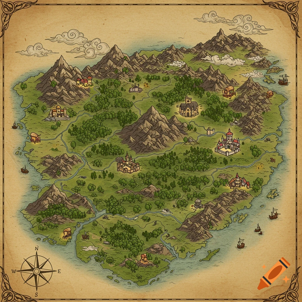
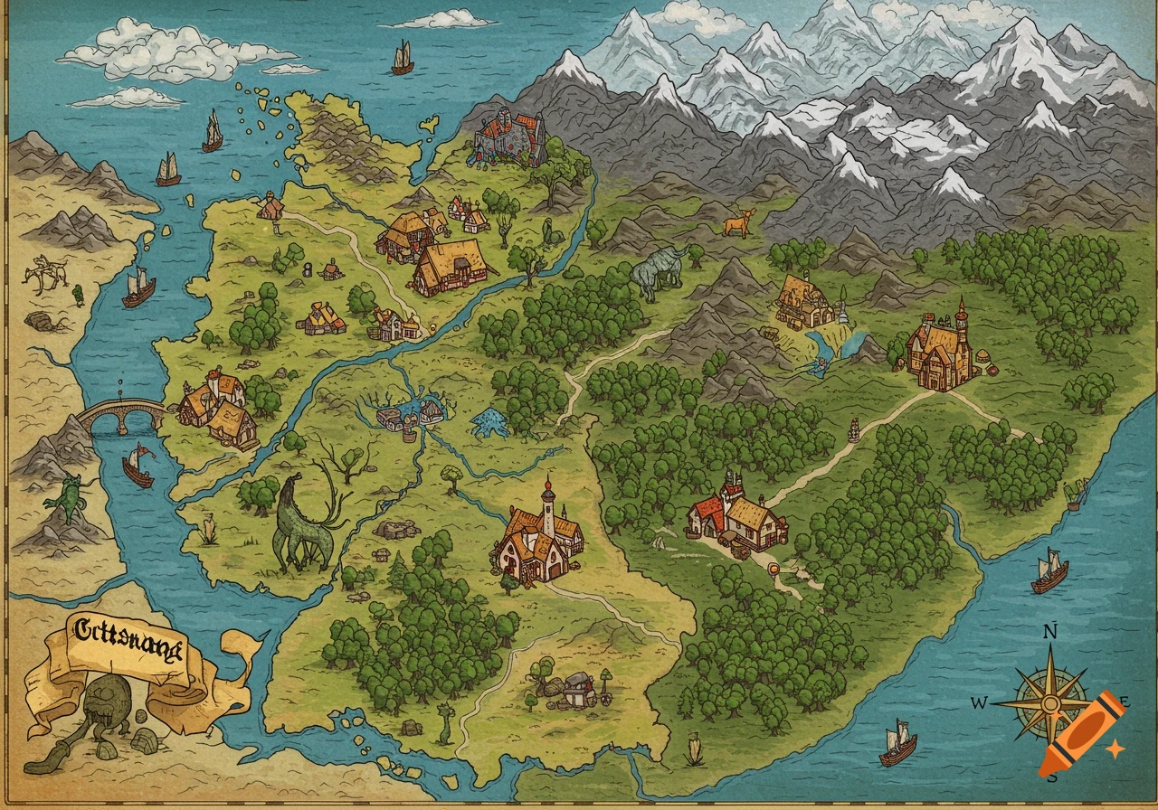
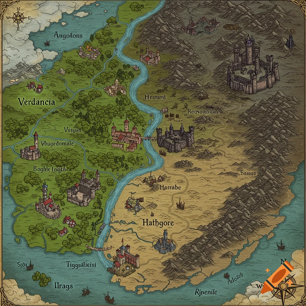
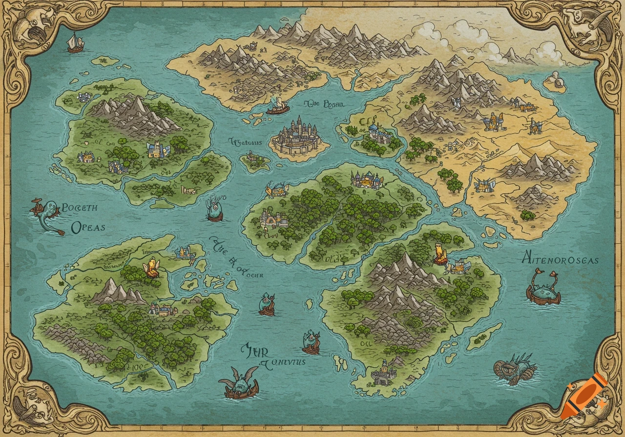
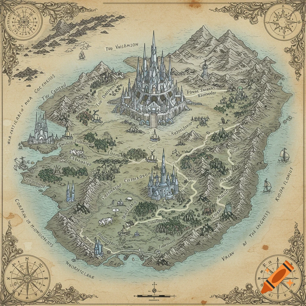
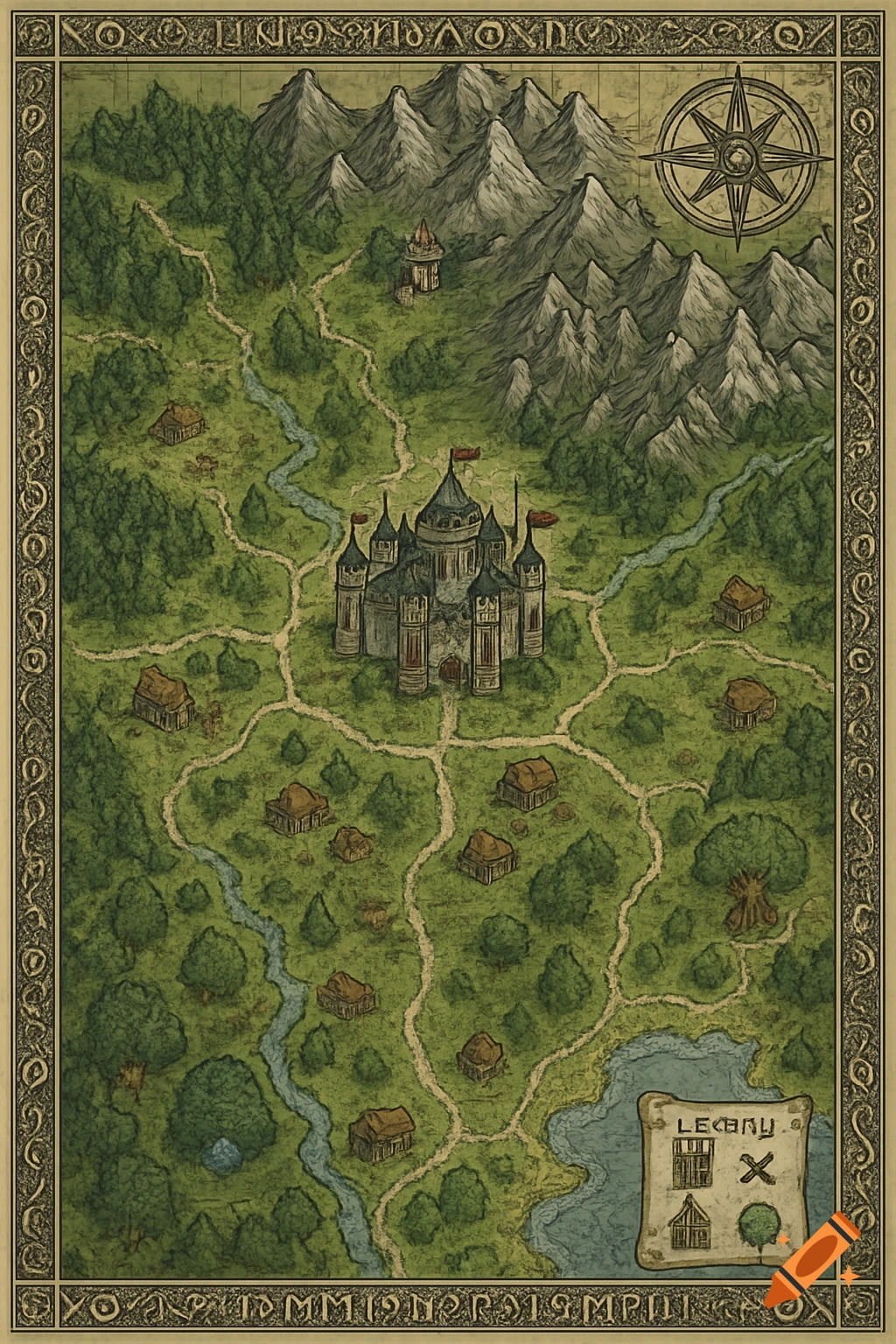
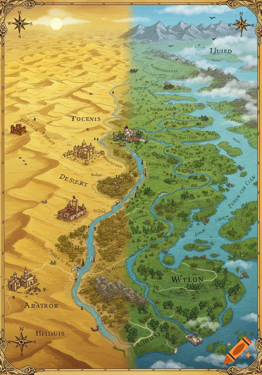
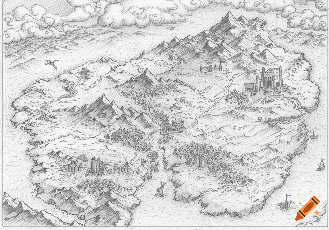
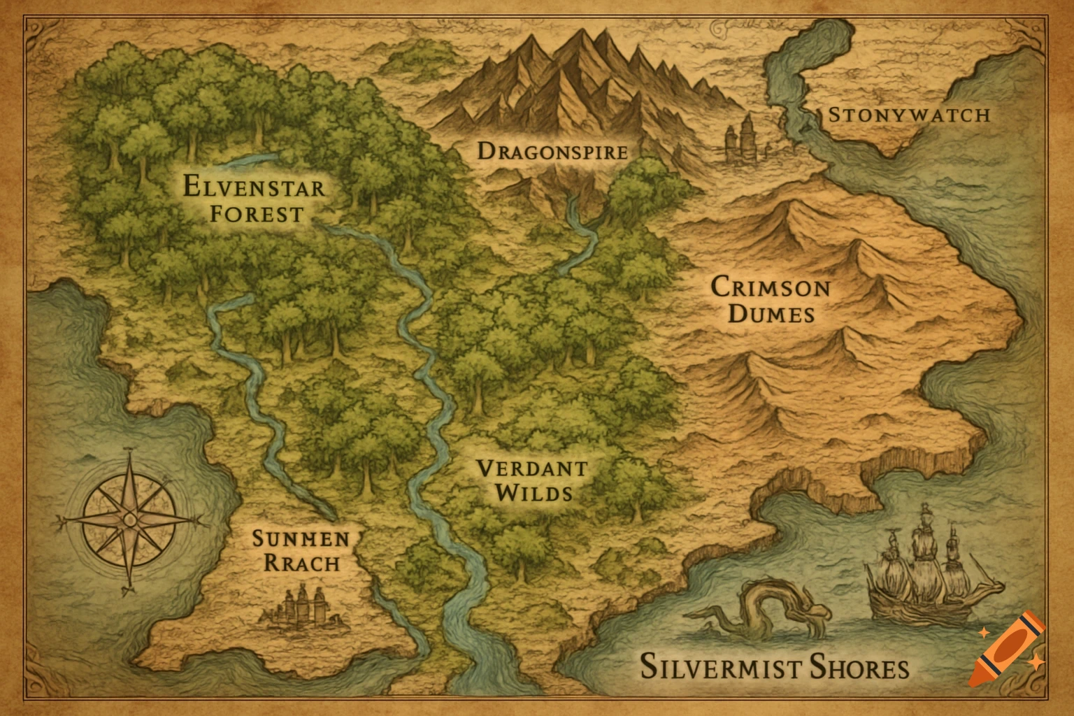
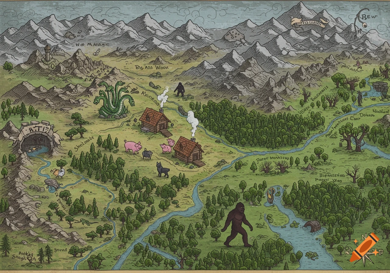
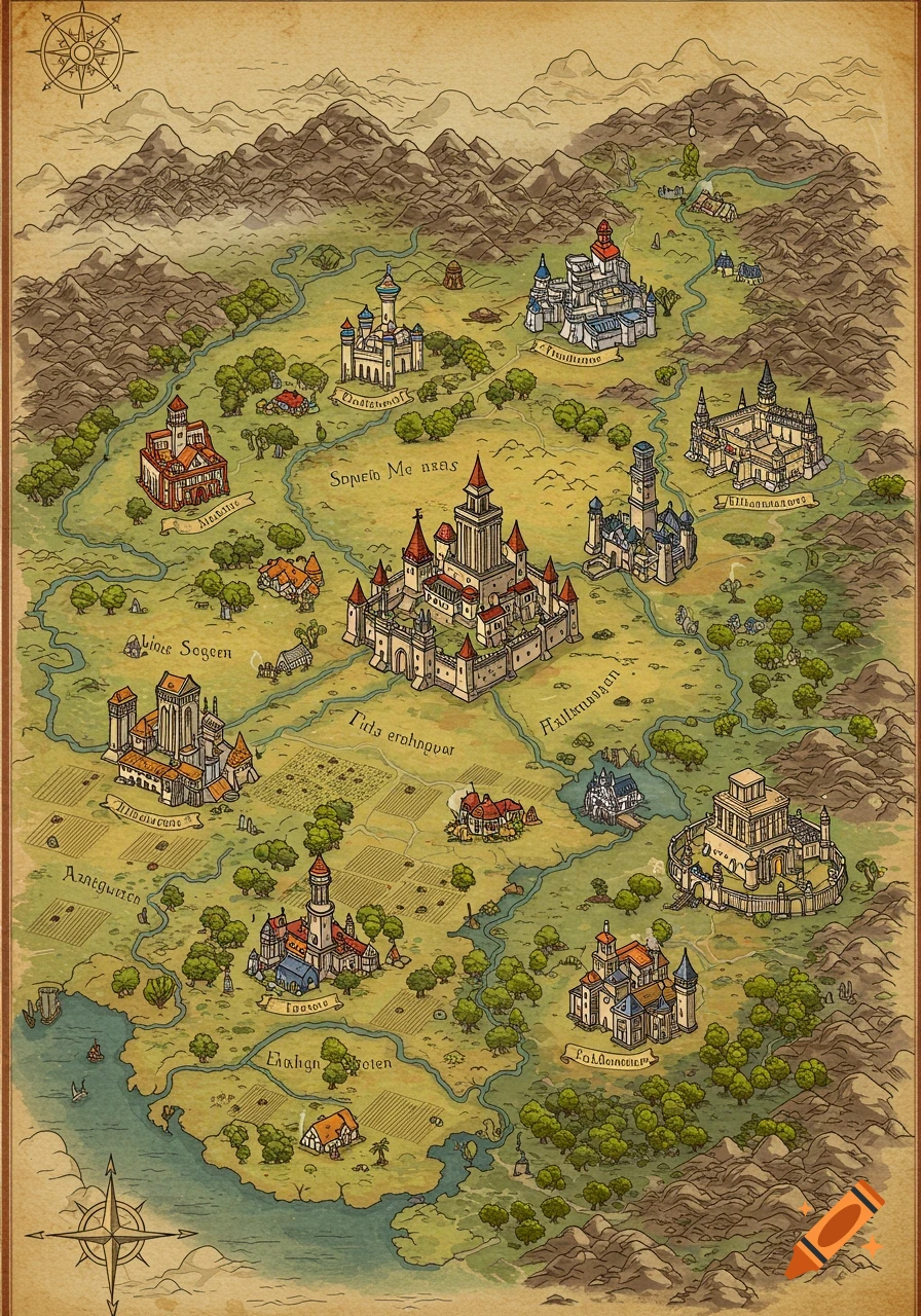
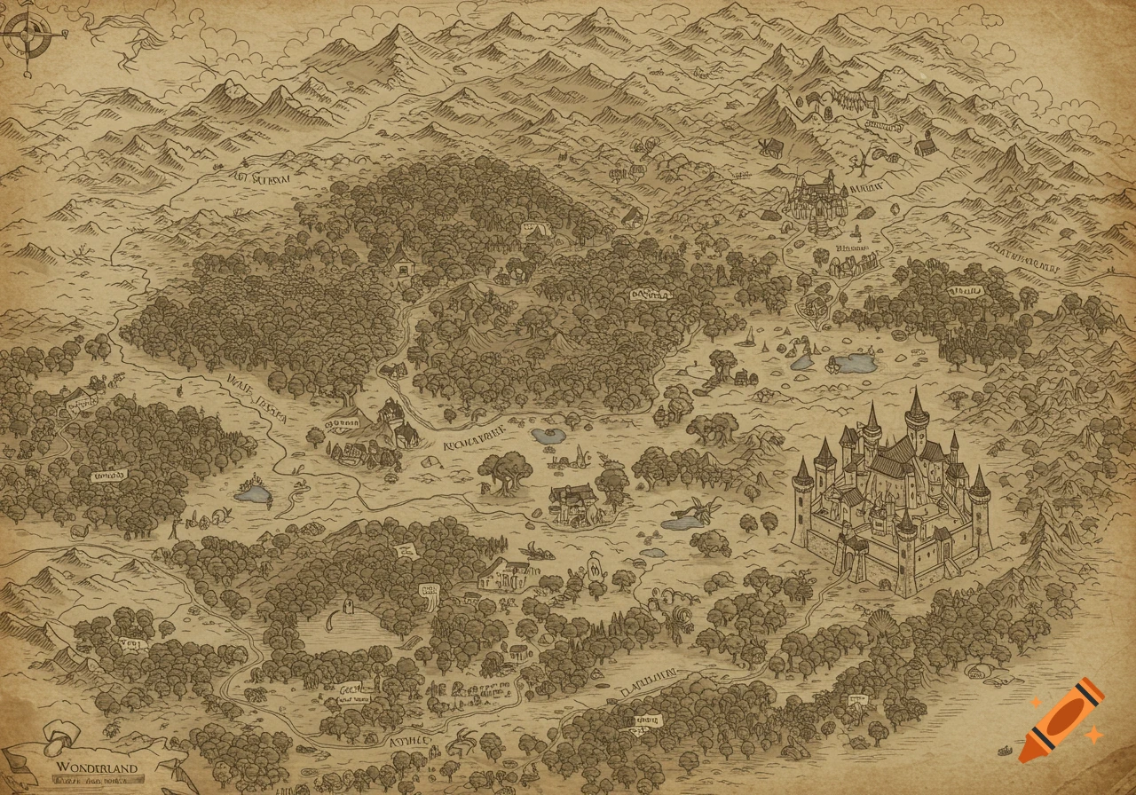
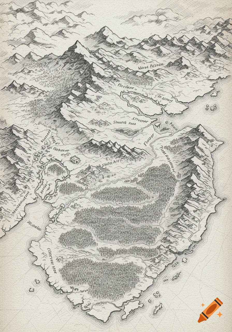
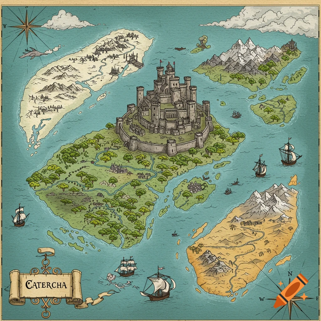
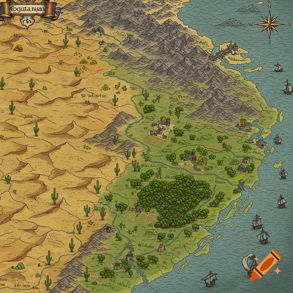
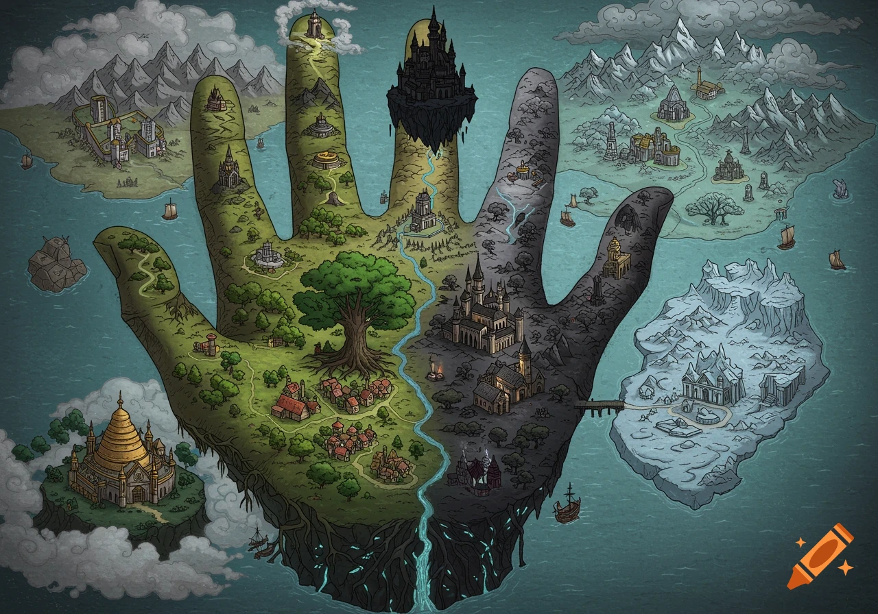
Detailed fantasy parchment map with ink and watercolor, featuring mountains, rivers, a citadel, and French labels.
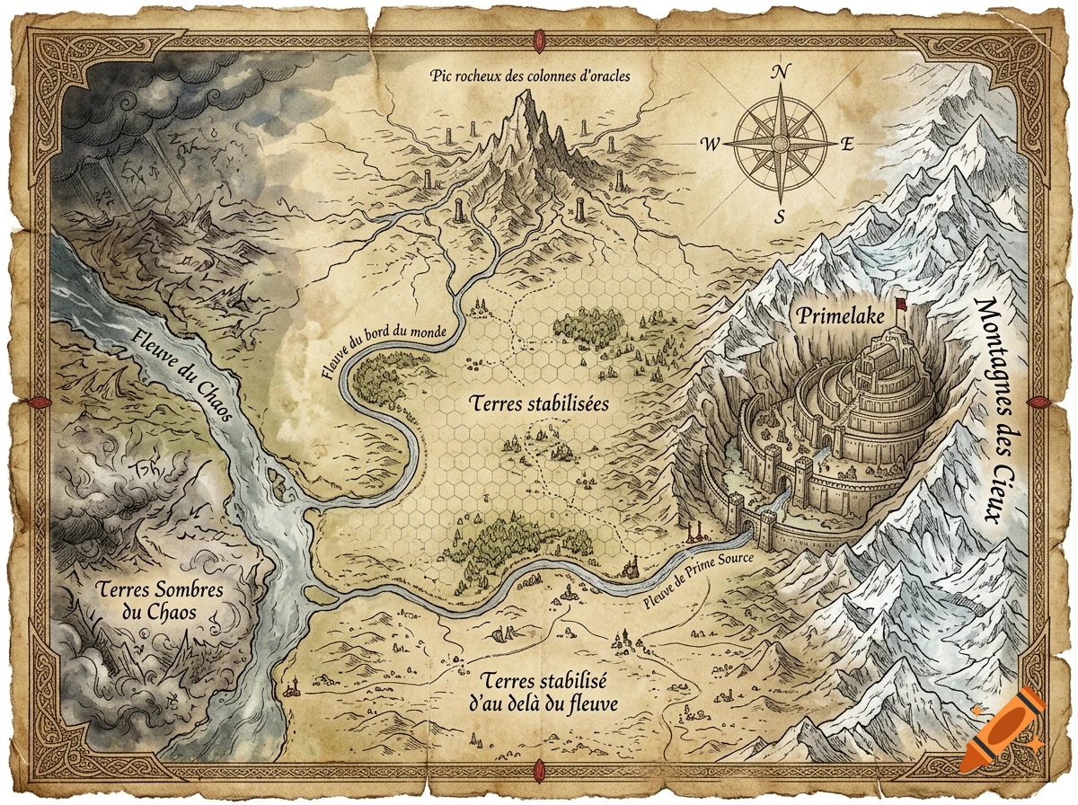
Ancient fantasy parchment map, hand-drawn ink and watercolor on aged yellowed paper with torn edges. East on RIGHT, West on LEFT, North at TOP. Right border: "Montagnes des Cieux" massive snow-capped mountain range running top to bottom. Middle right: City "Primelake" built into the mountains like Helm's Deep, size of Minas Tirith, with "Fleuve de Prime Source" river flowing through it. Center: "Terres stabilisées" with hex grid between mountains and "Fleuve du bord du monde". Top center: "Pic rocheux des colonnes d'oracles" with rivers branching. Left: "Fleuve du Chaos". Far left: "Terres Sombres du Chaos" with swirling mist and magical corruption. Bottom center: "Terres stabilisé d'au delà du fleuve". Elegant French calligraphy labels, compass rose, decorative border, Tolkien style map, highly detailed Ver más
More images like this