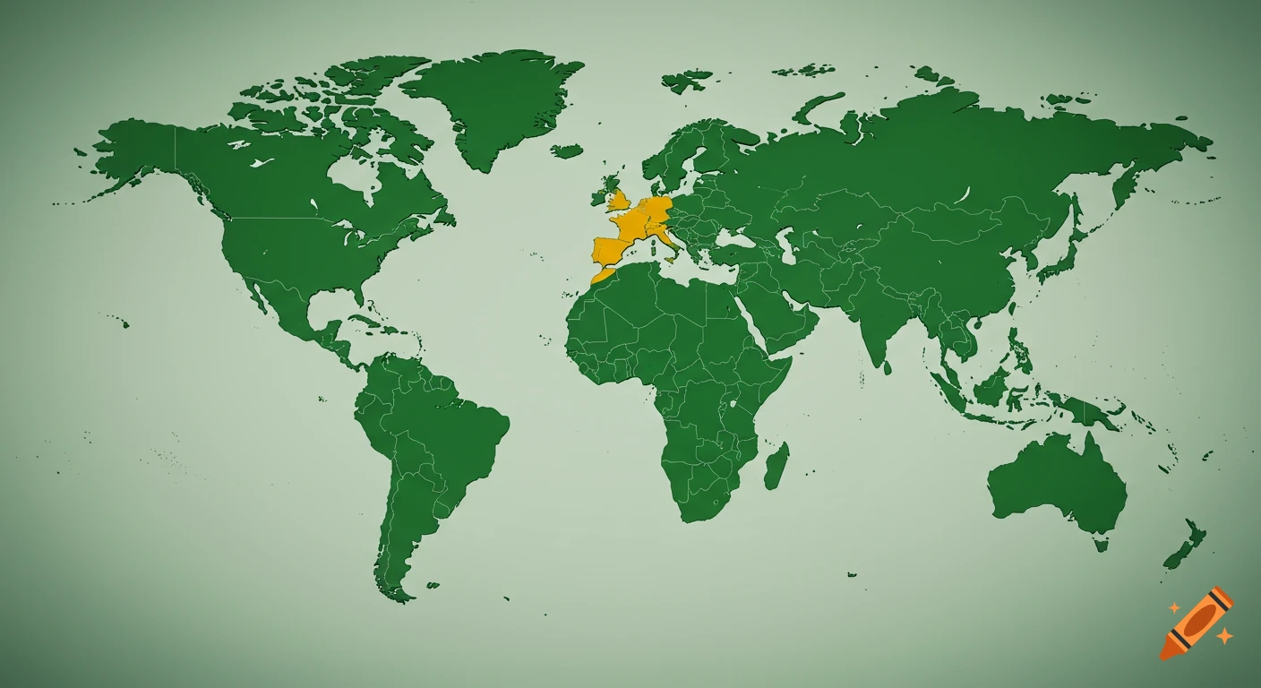
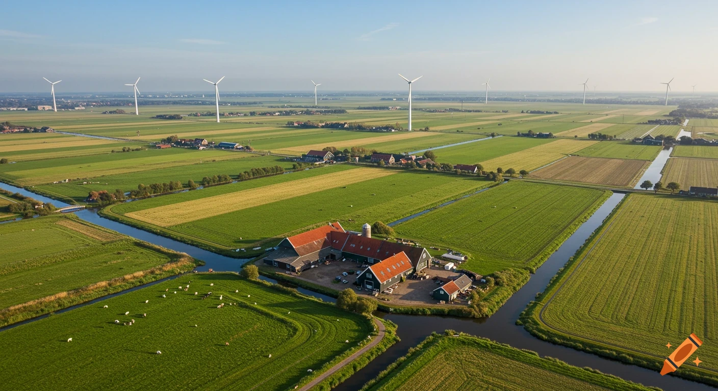
A school geography poster about the Netherlands, featuring a light orange outline map centered on a white background. Labels around the map list facts like language, population, capital, famous people, and food. A small Dutch flag is in the bottom right.

Clean school geography poster on white paper about the Netherlands, neat hand-drawn style. Center: large simple outline map of the Netherlands colored light orange. Top center title: “NETHERLANDS” in bold clear uppercase letters. Bottom right: small tidy Dutch flag with red, white, and blue horizontal stripes. Around the map are evenly spaced small boxed labels with short text, very organized layout: Left side: Language: Dutch (Nederlands) Population: 17–18 million Right side: Capital: Amsterdam Famous people: Vincent van Gogh, Anne Frank Bottom: Food: Cheese (Gouda, Edam) Top corners: Fun fact: windmills, canals, partly below sea level Minimal clutter, balanced spacing, school project quality, colorful but simple (orange, blue, red), clear readable text, educational infographic style. Ver más
More images like this