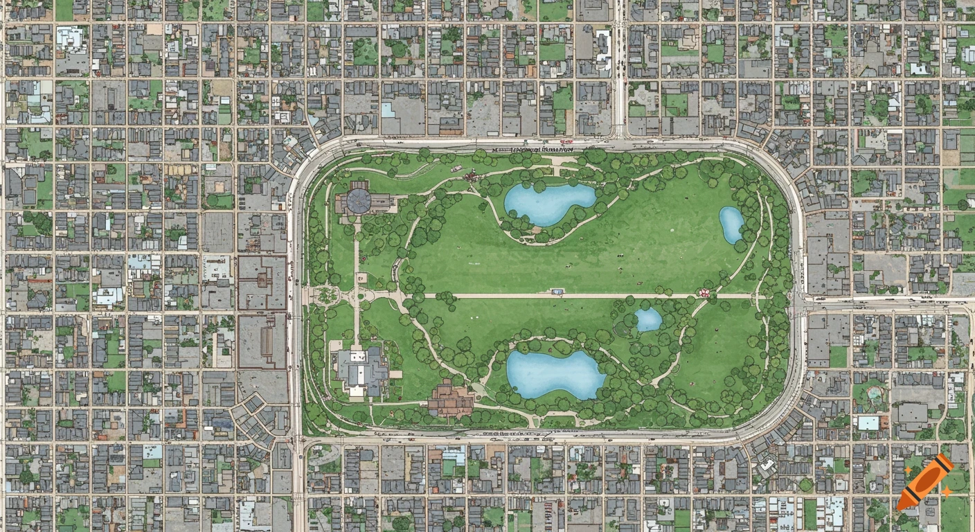
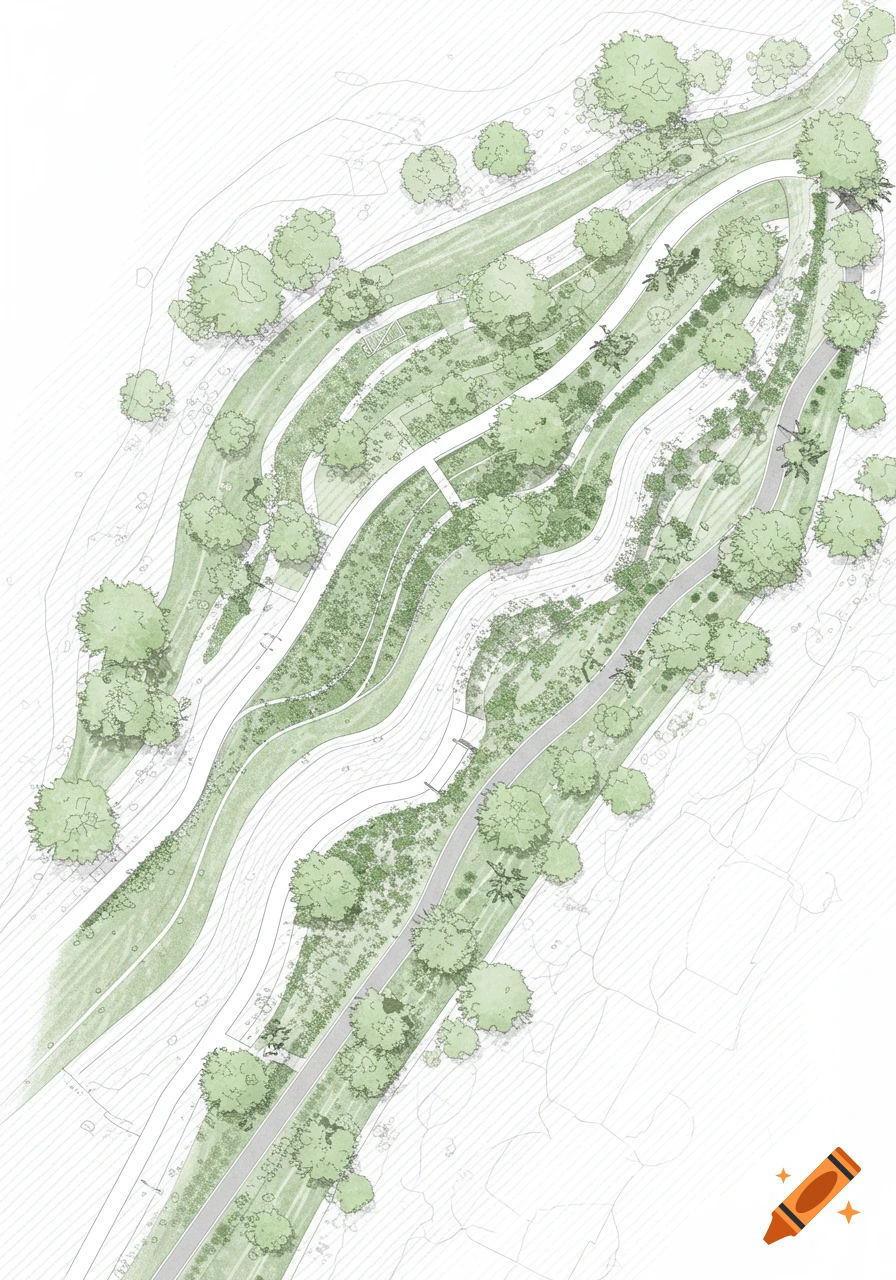
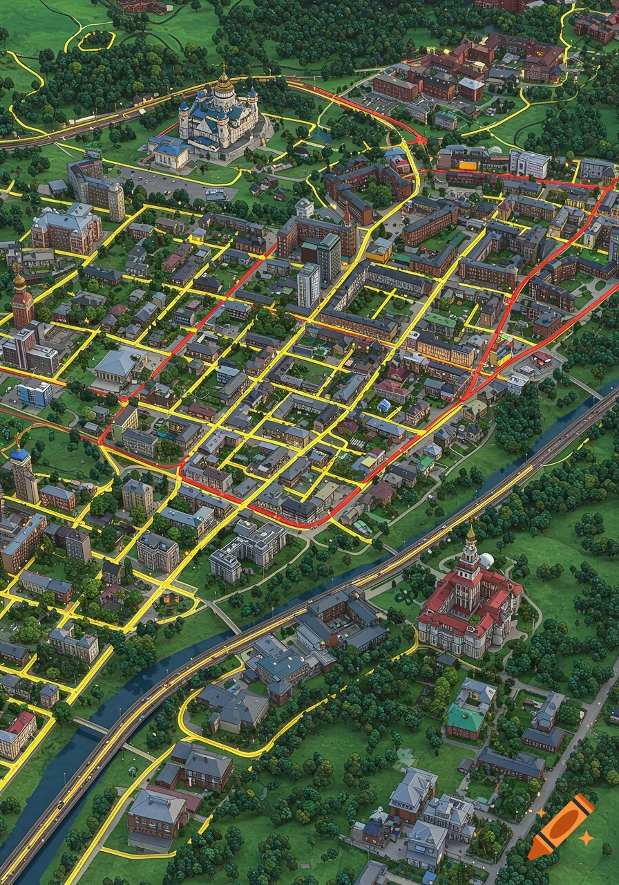
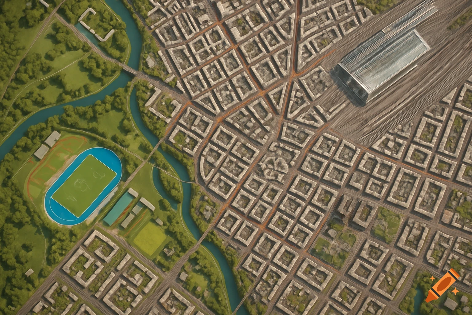
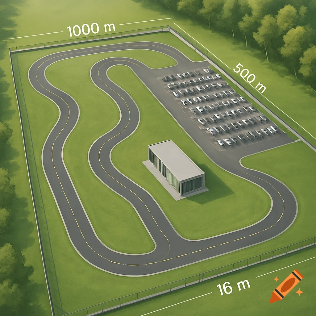
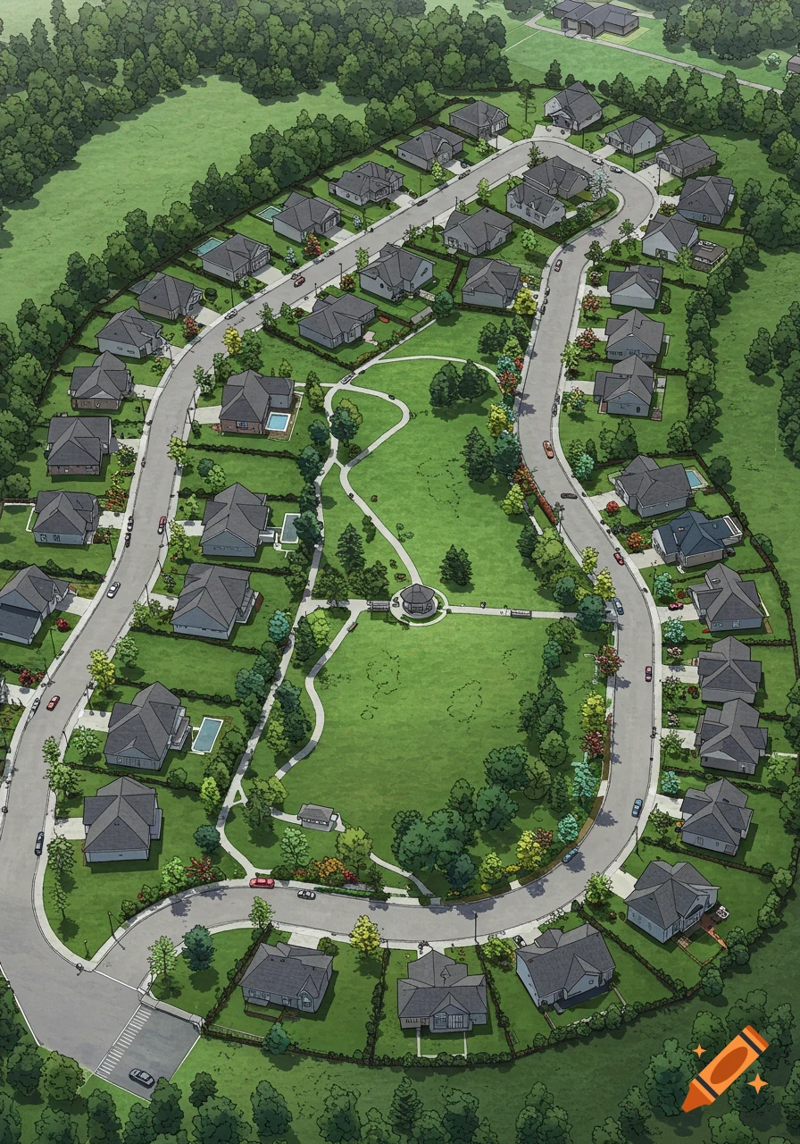
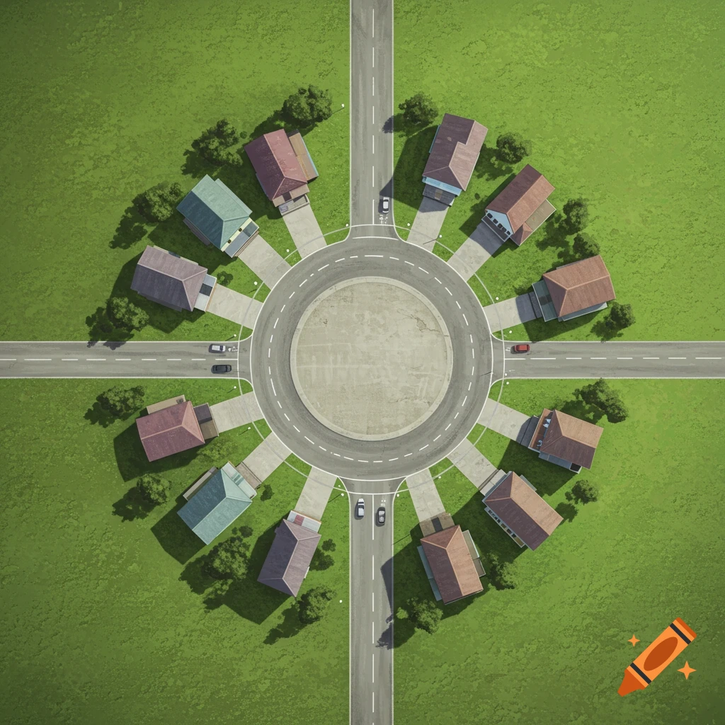
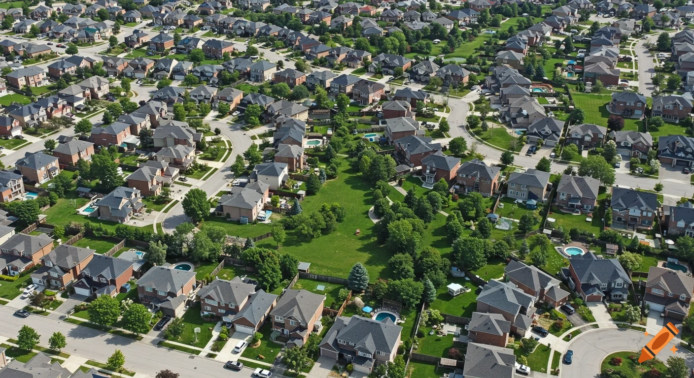
An overhead satellite map of a residential neighborhood with a large green park, featuring green, yellow, and red neon lines highlighting roads and park boundaries.

"A clean, simple satellite map of a residential neighborhood crescent road next to a green public park. The map features explicit color coding overlays like a heat map: a bright green neon line highlighting the north-northeast bend near the park entrance walkway, a bright yellow neon line along the eastern road intersection, and a solid red neon line marking the quiet western half of the loop. Clear, minimalist graphic design, highly legible layout, overhead drone style view, cartography map visualization style." Ver más
More images like this