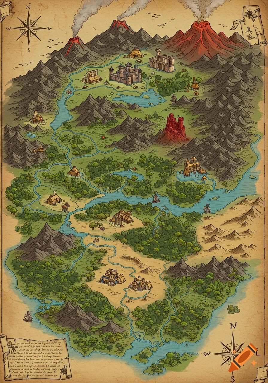
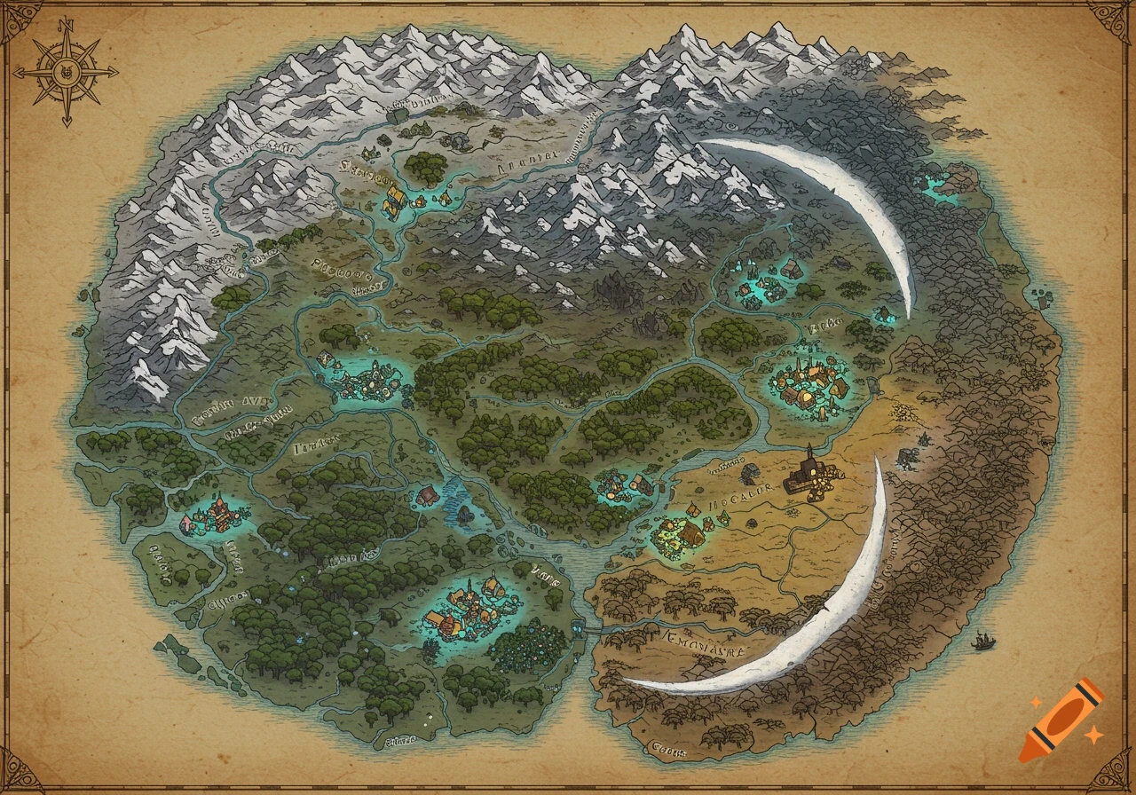
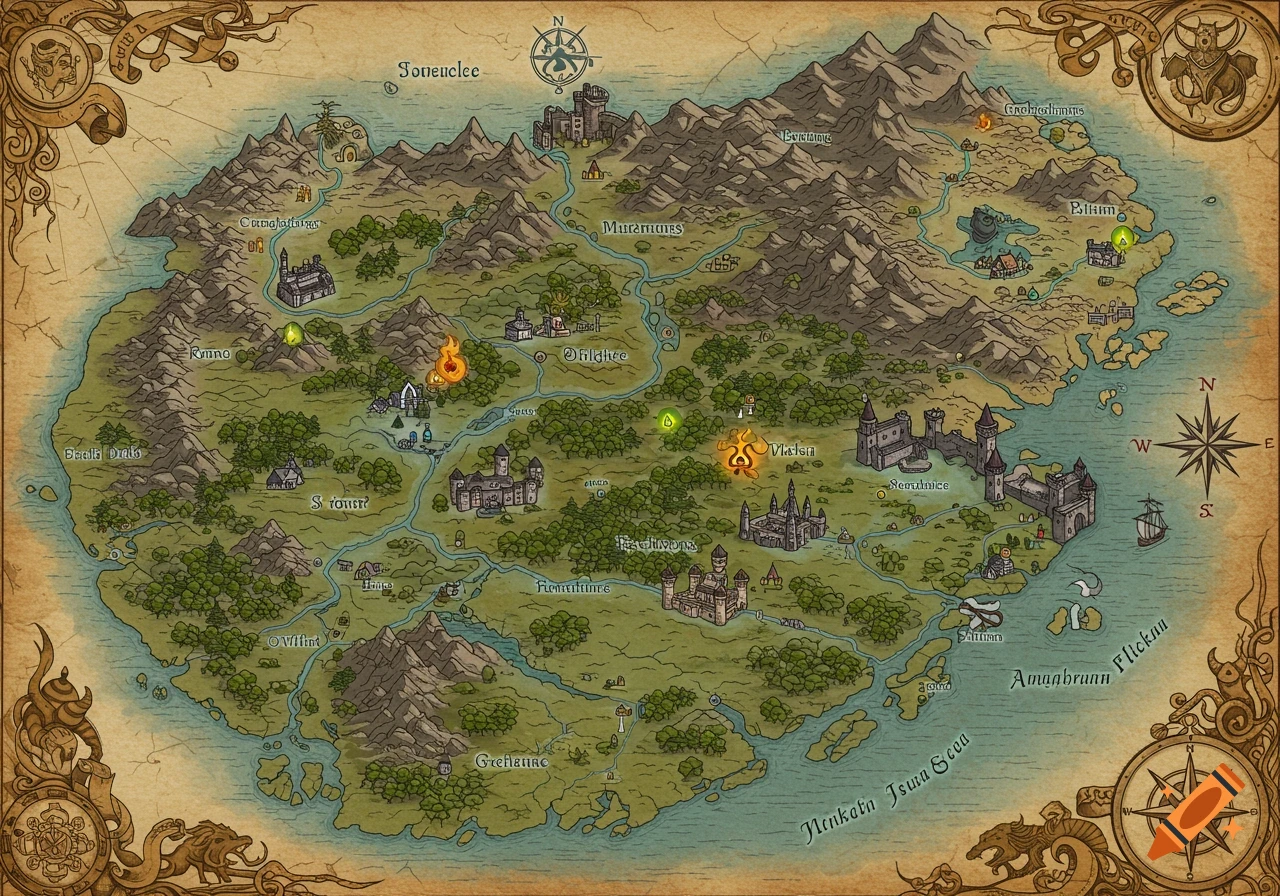
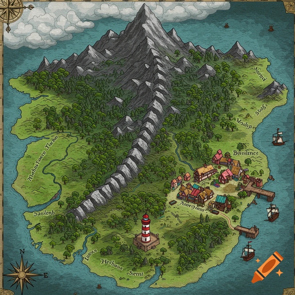
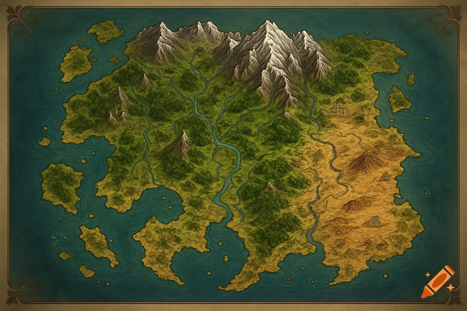
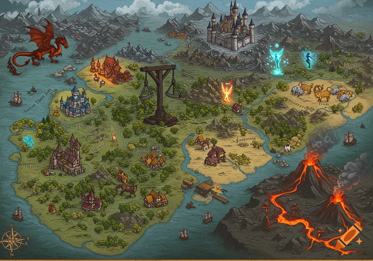
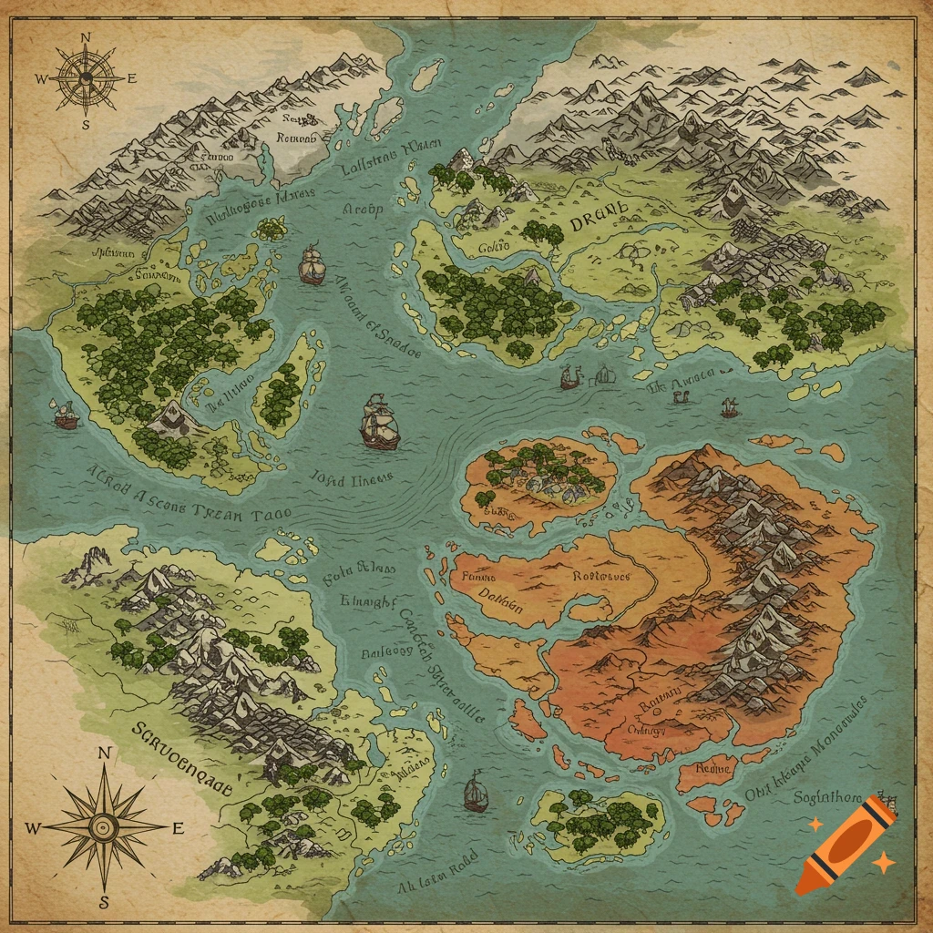
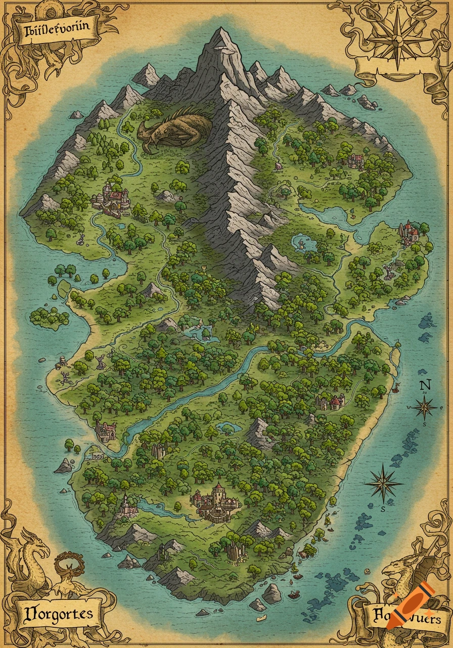
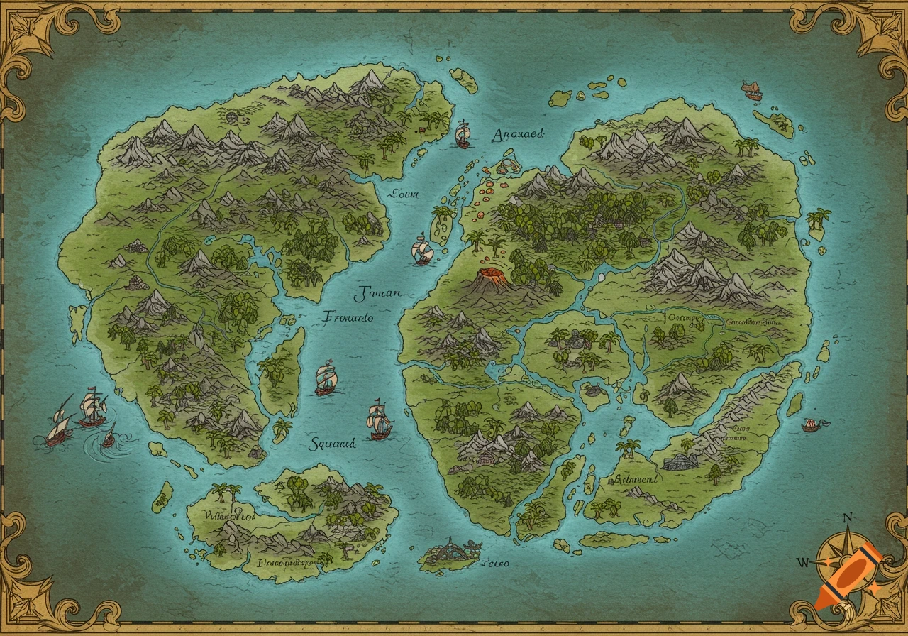
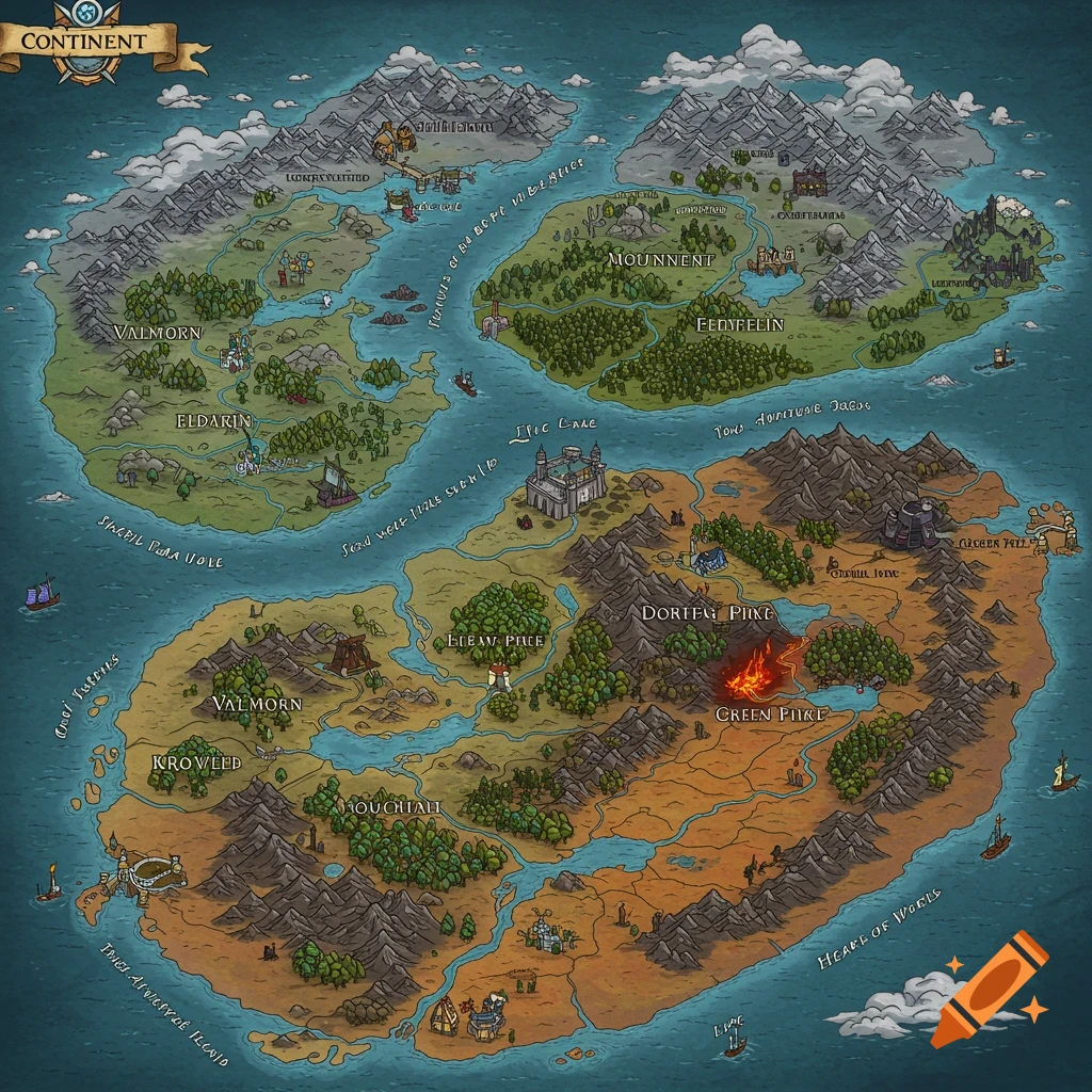
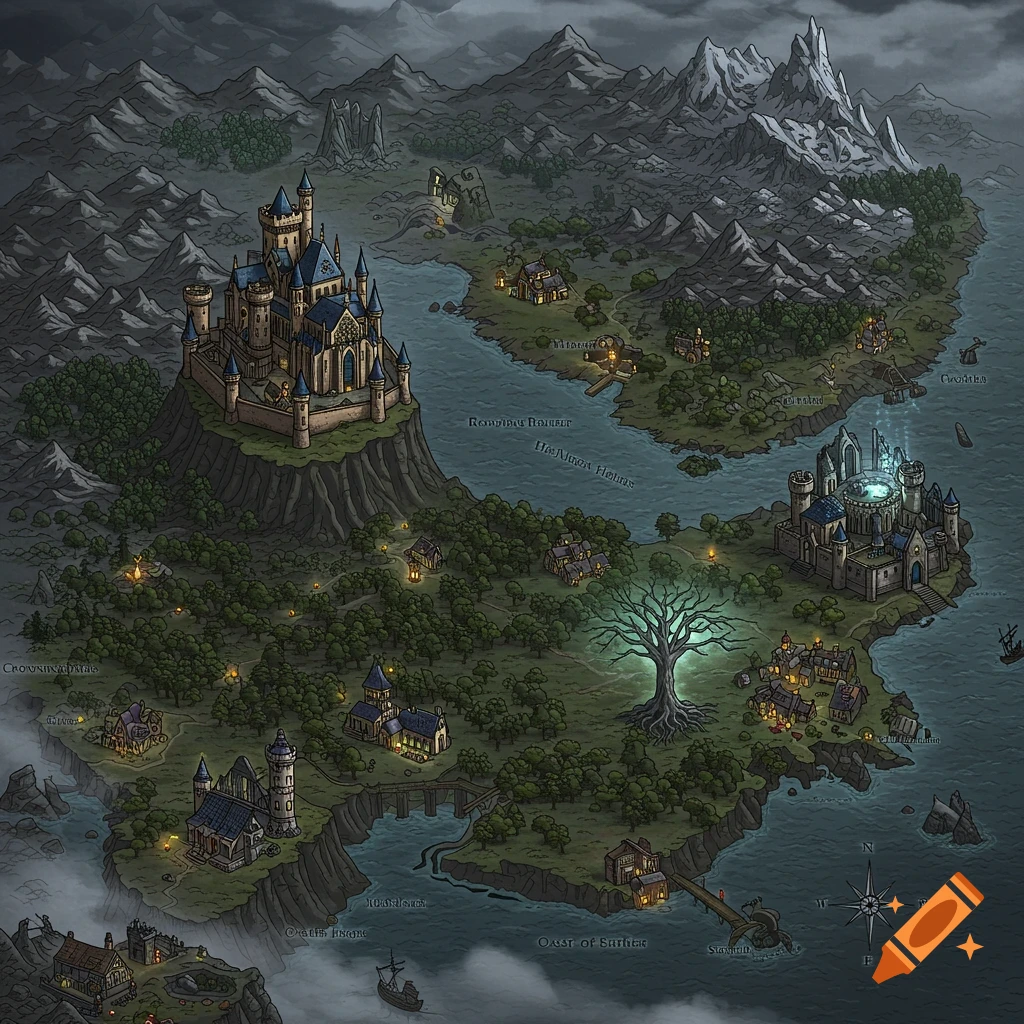
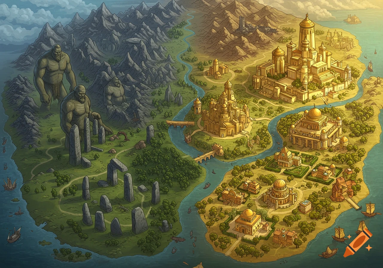
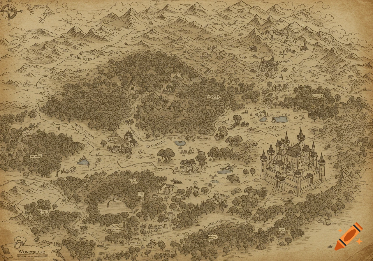
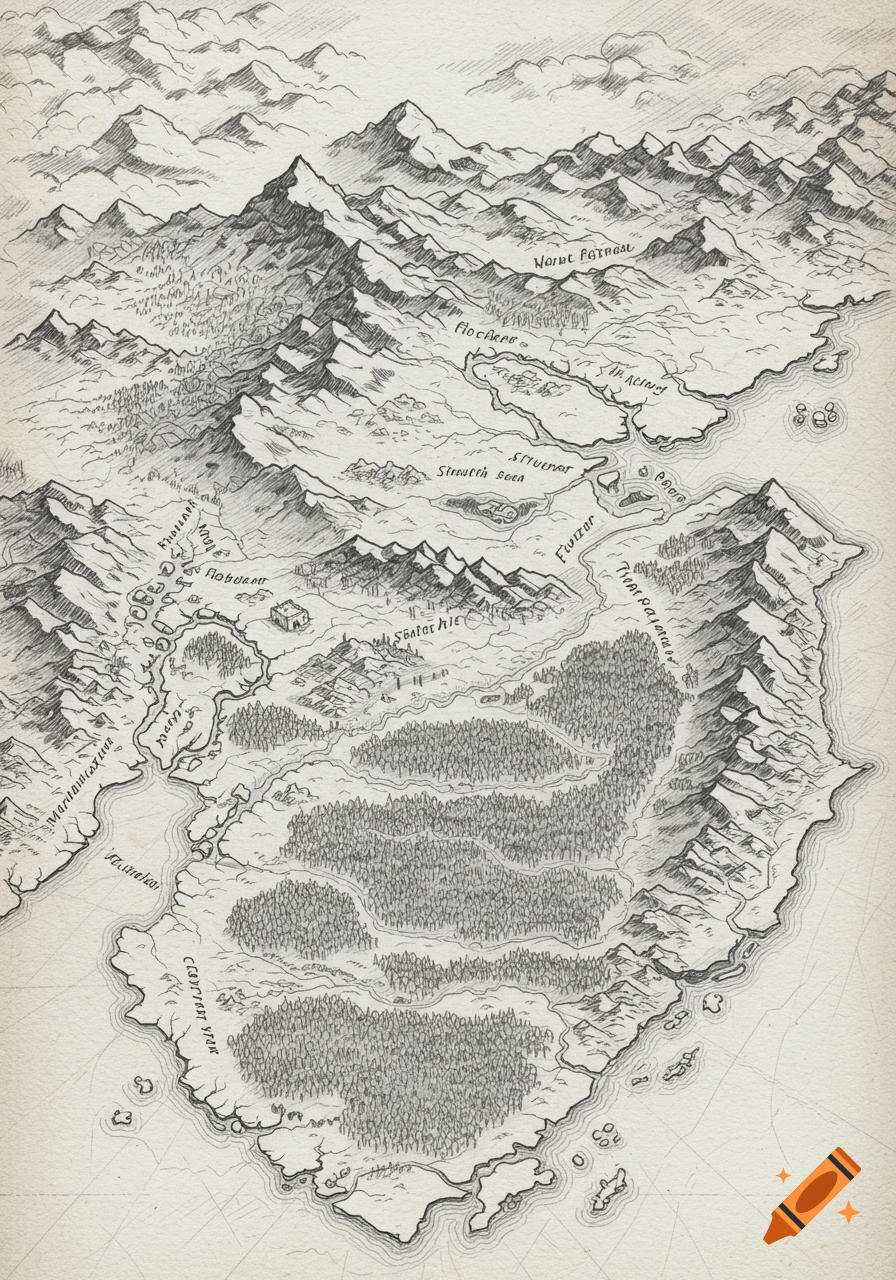
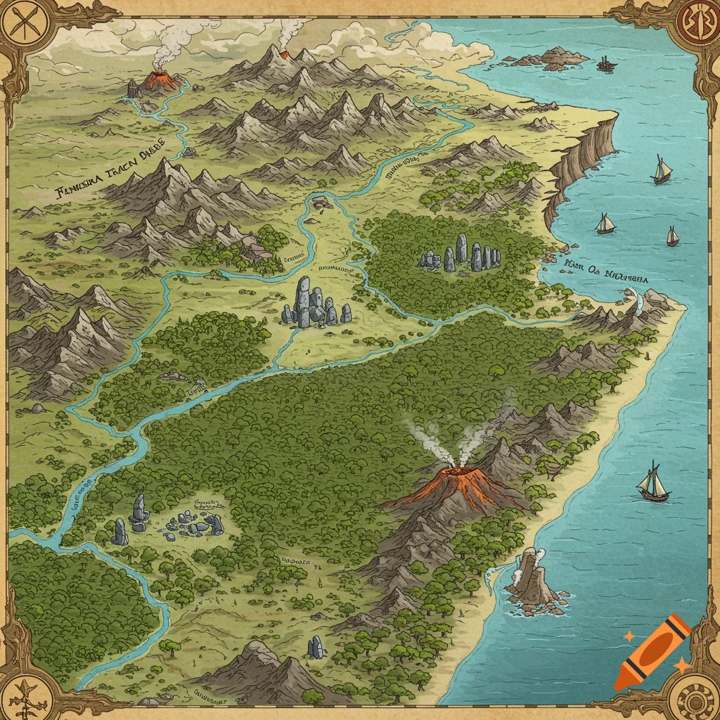
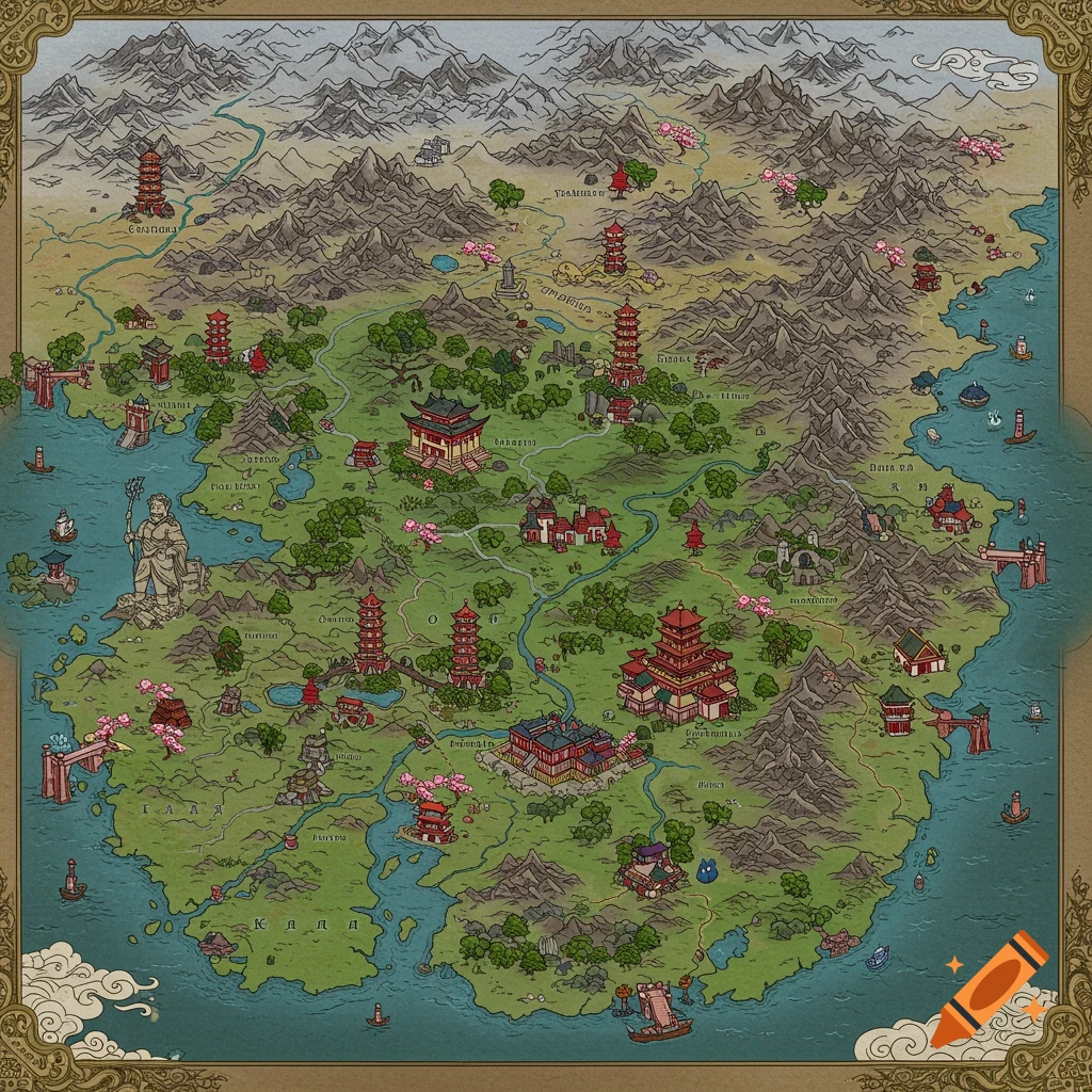
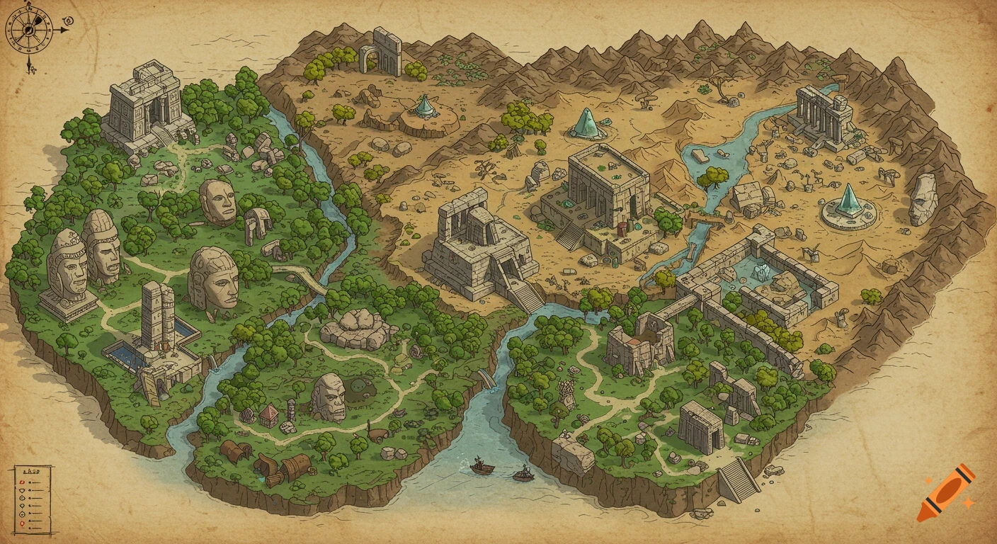
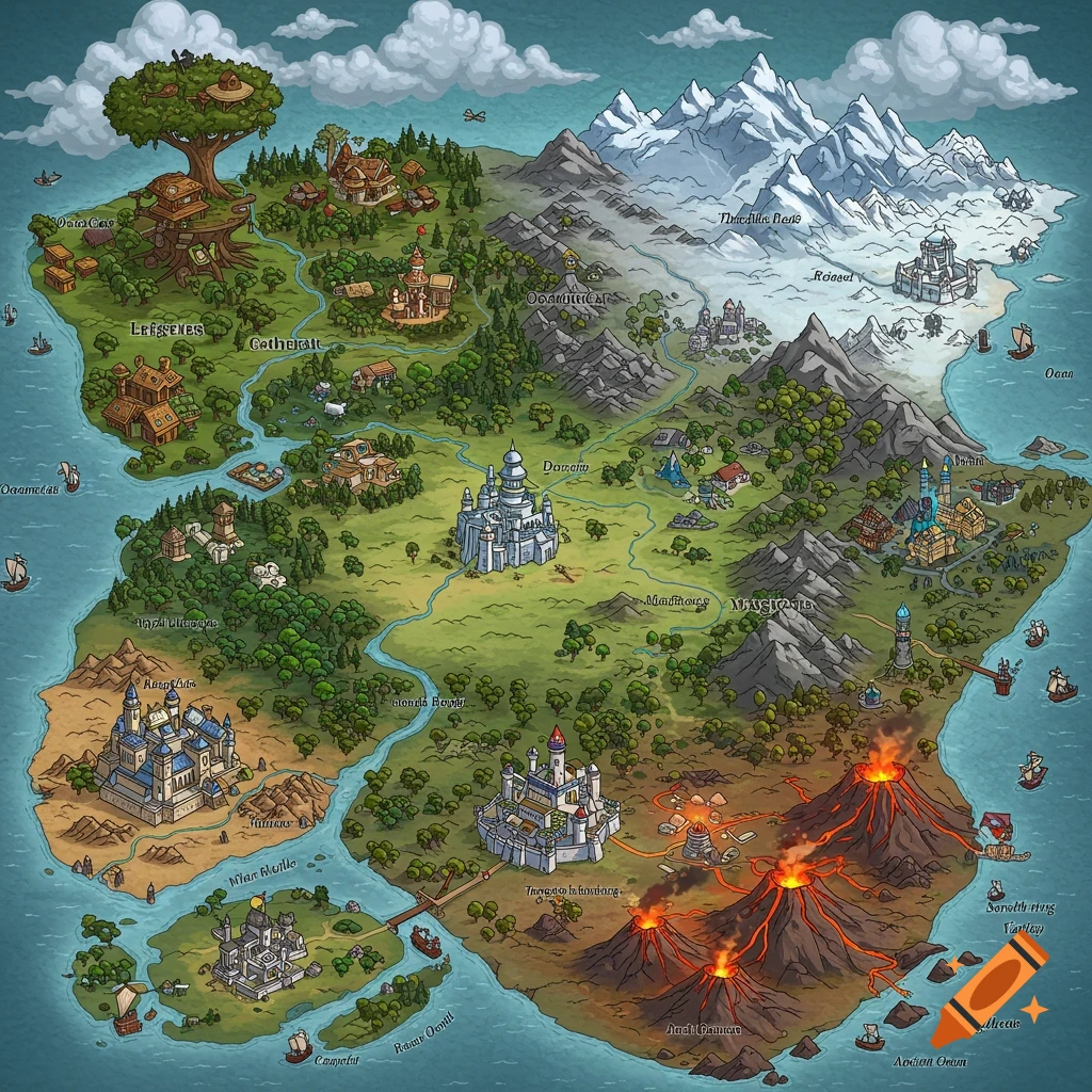
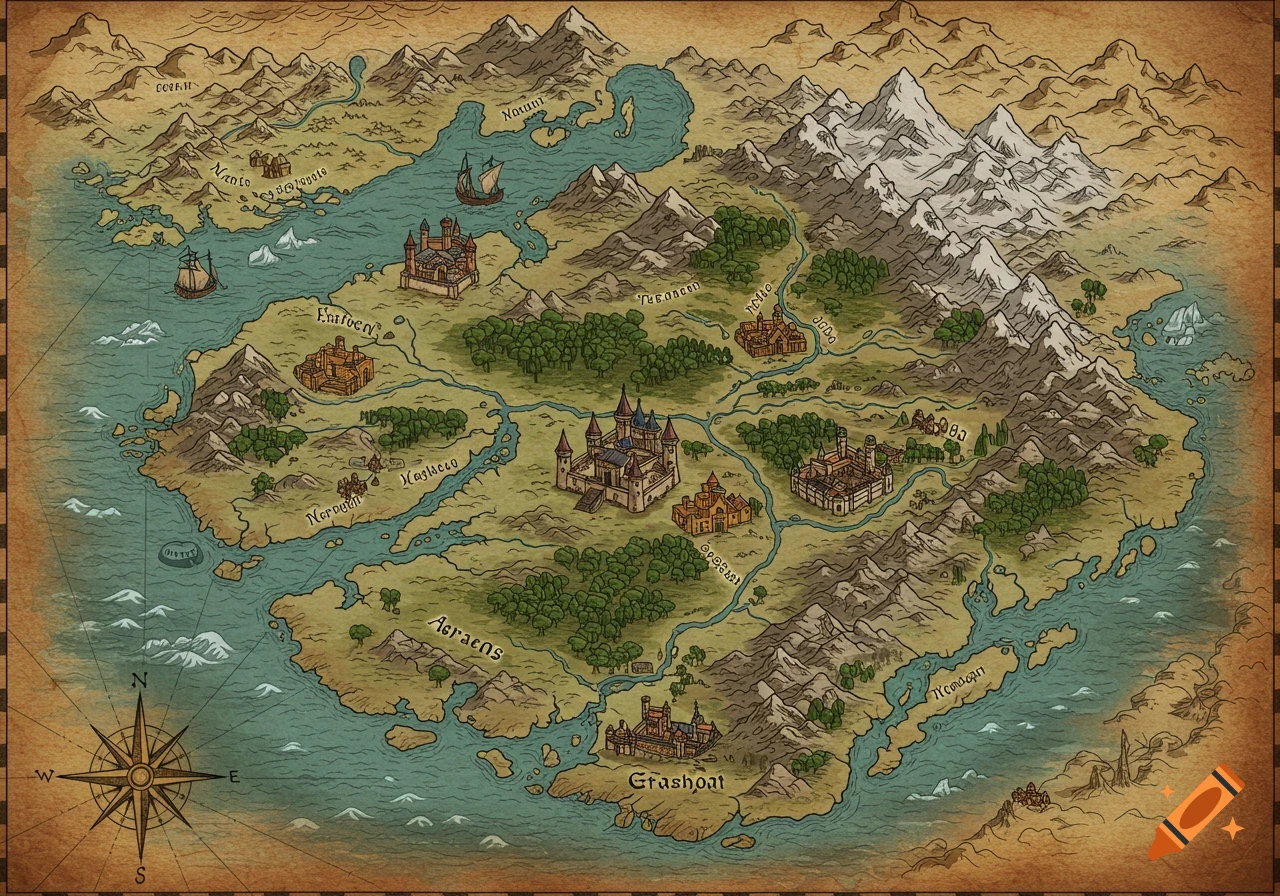
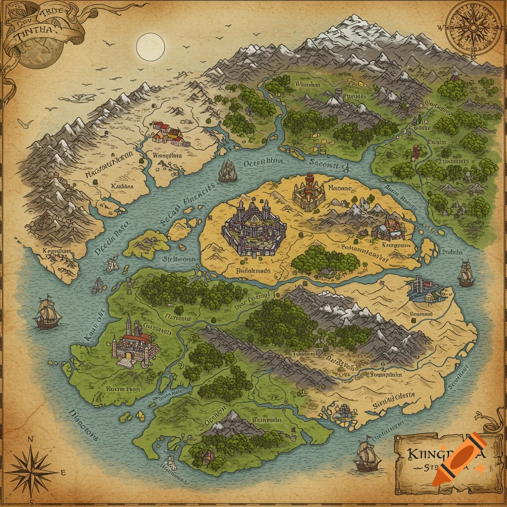
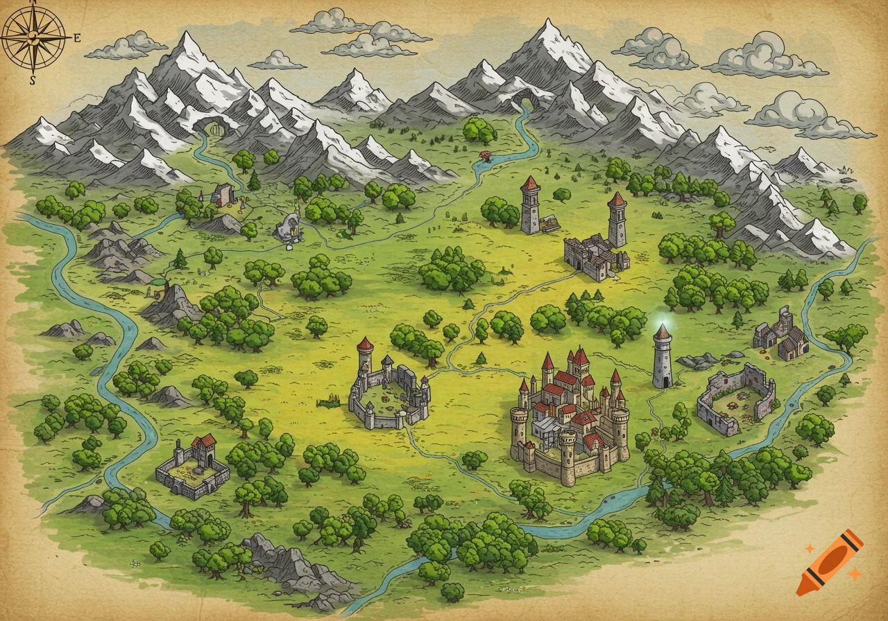
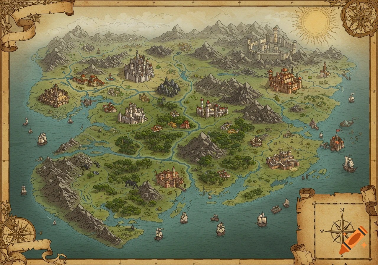
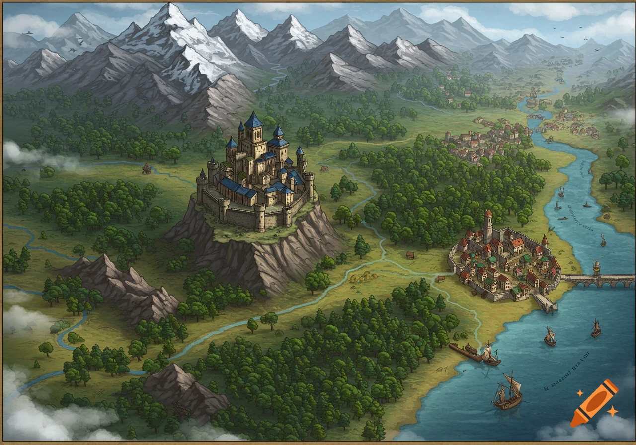
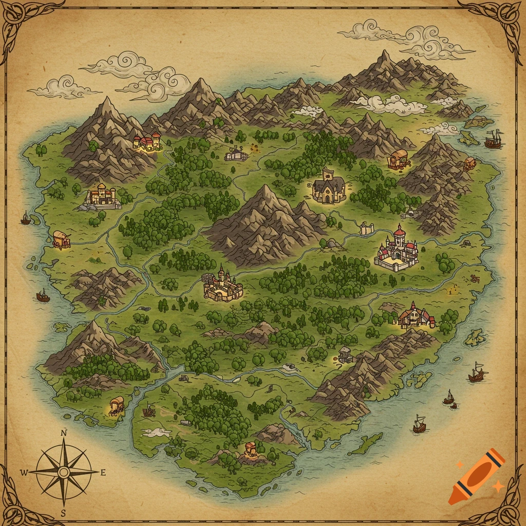
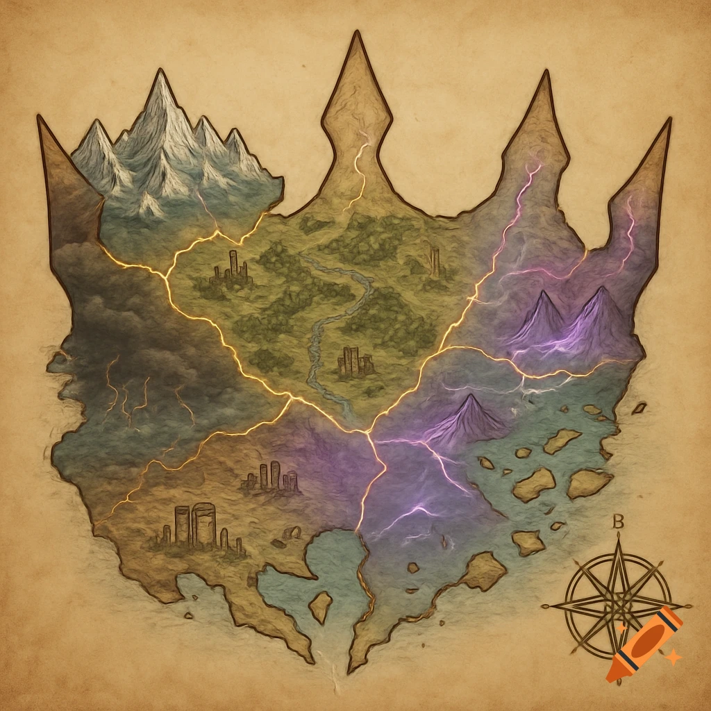
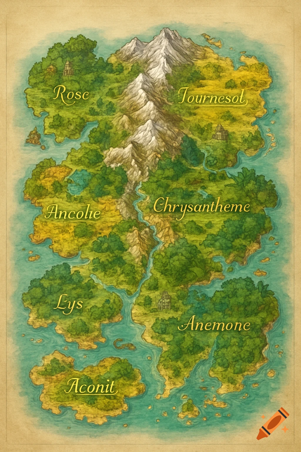
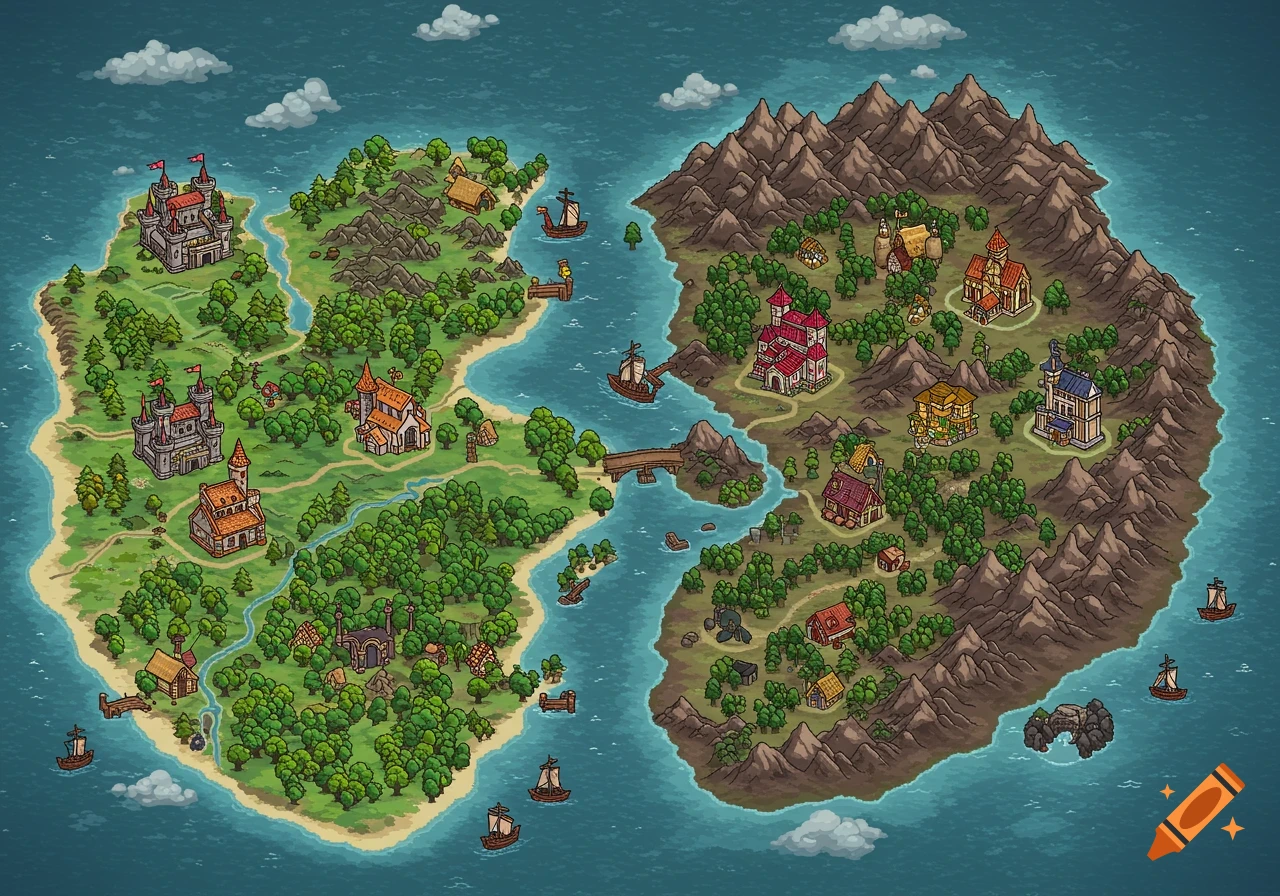
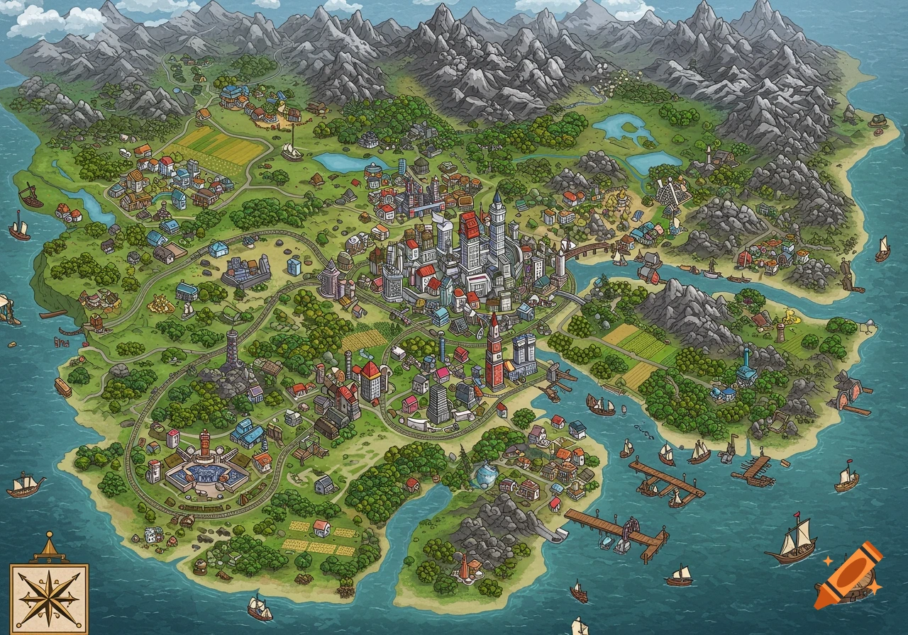
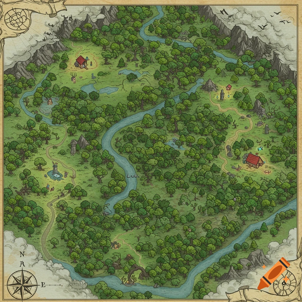
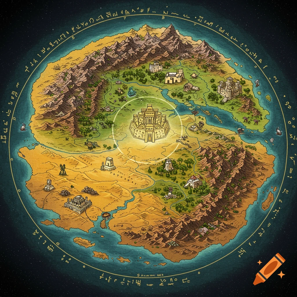
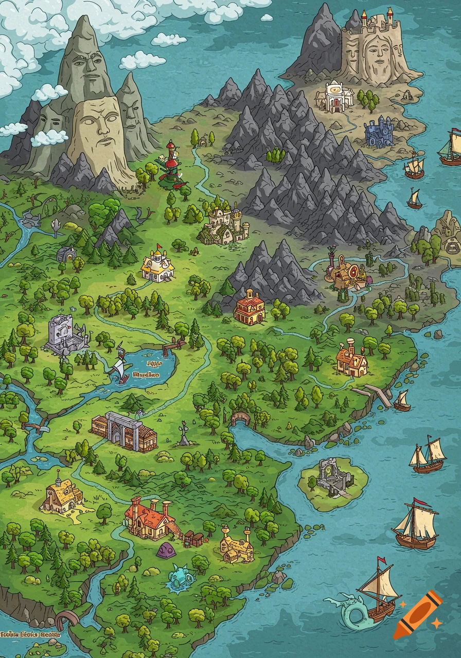
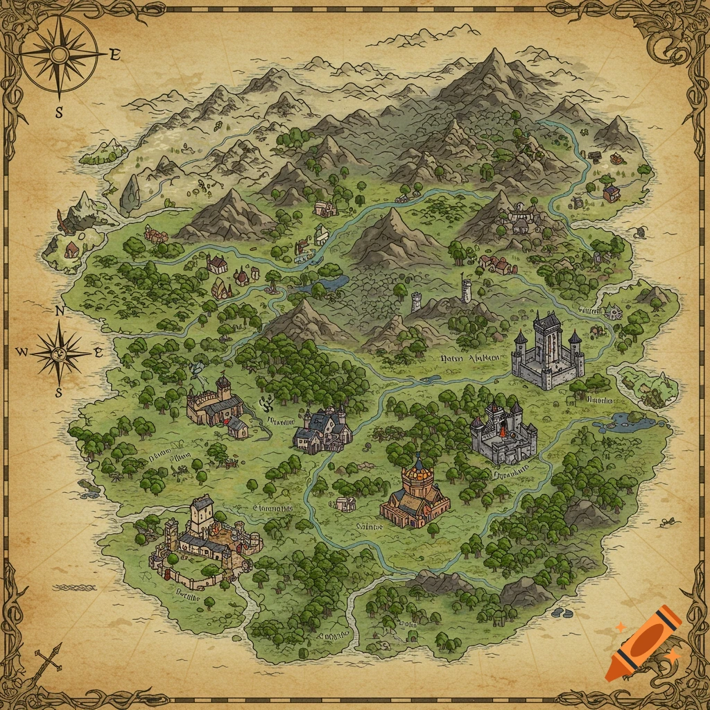
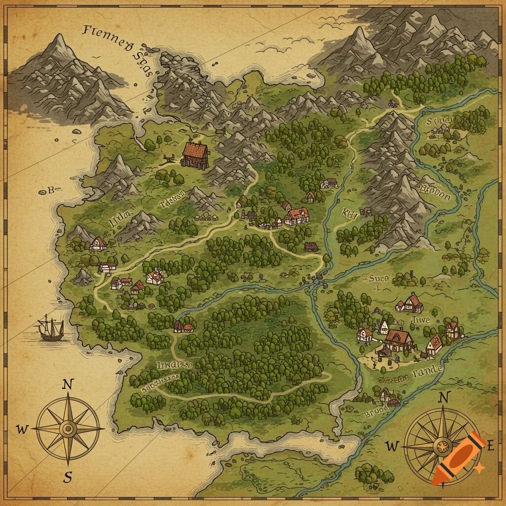
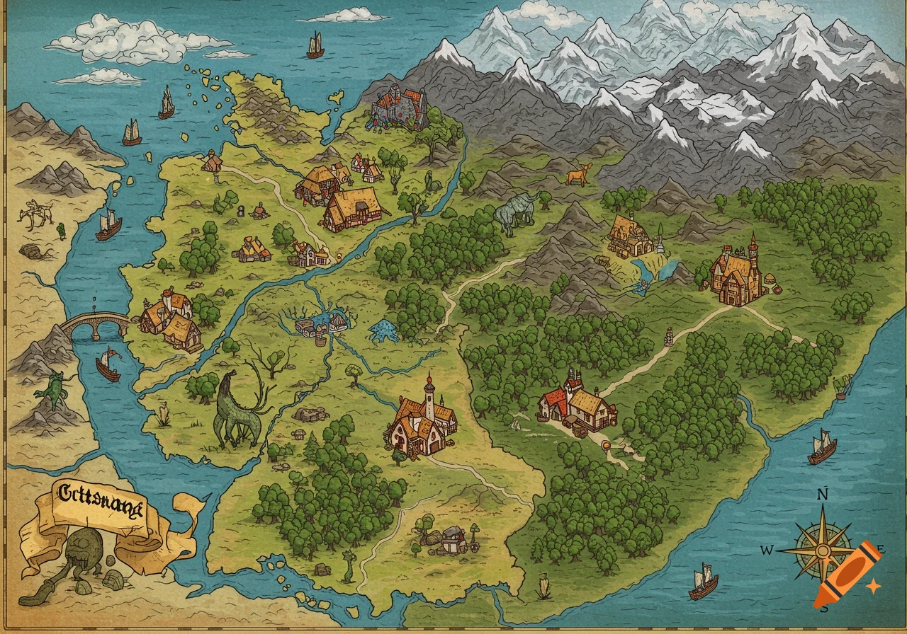
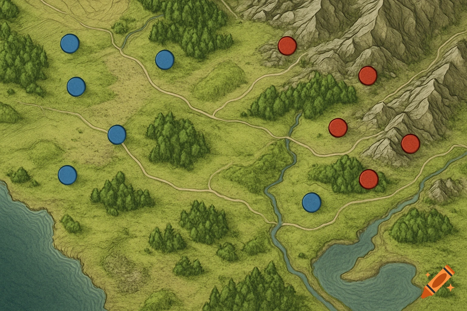
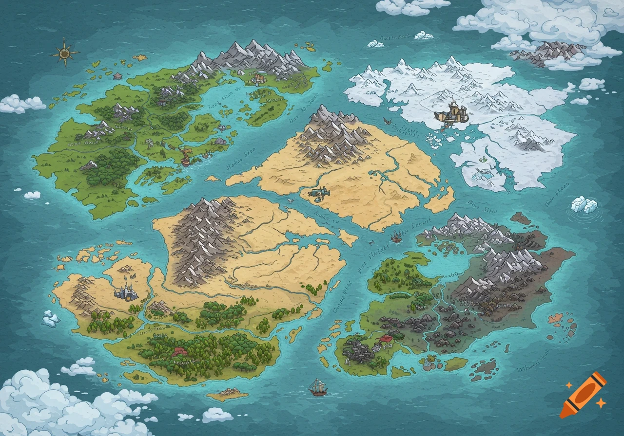
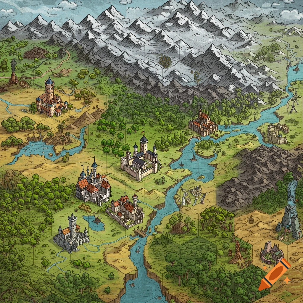
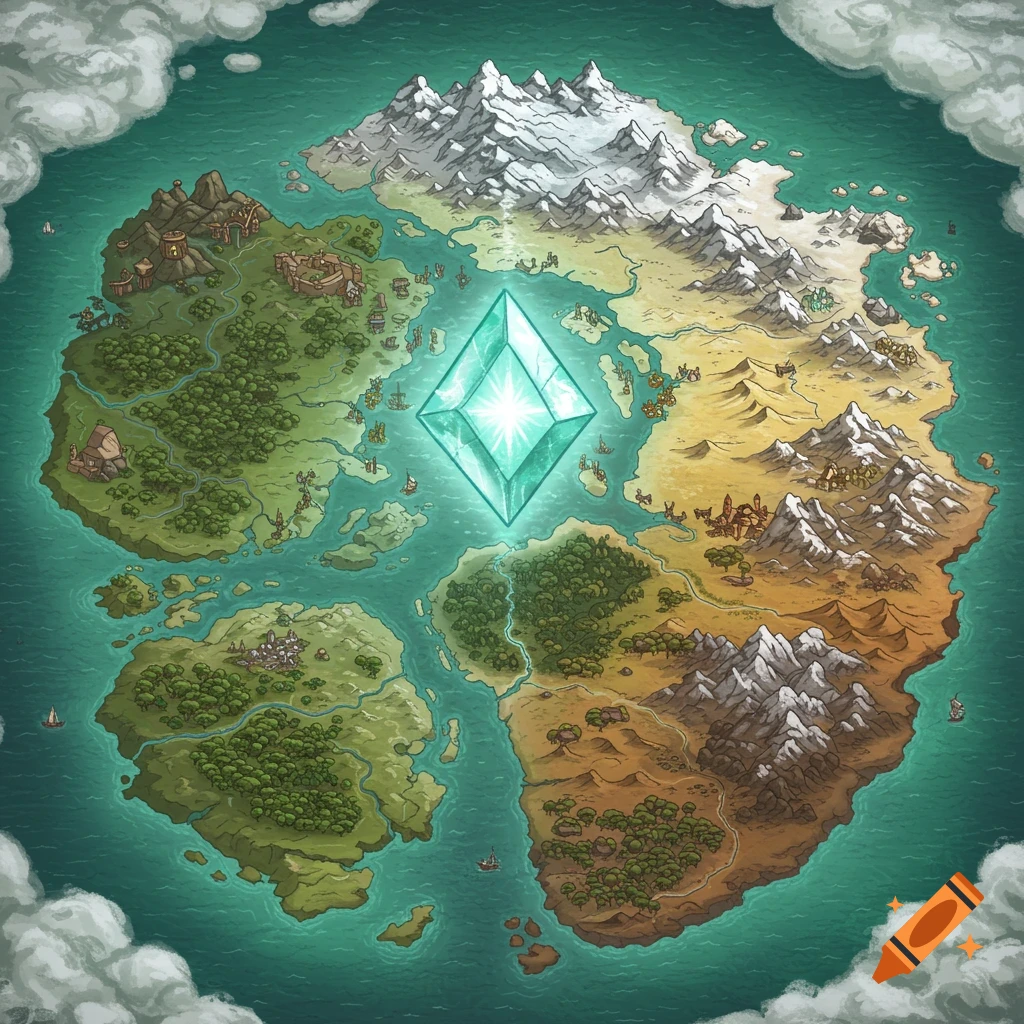
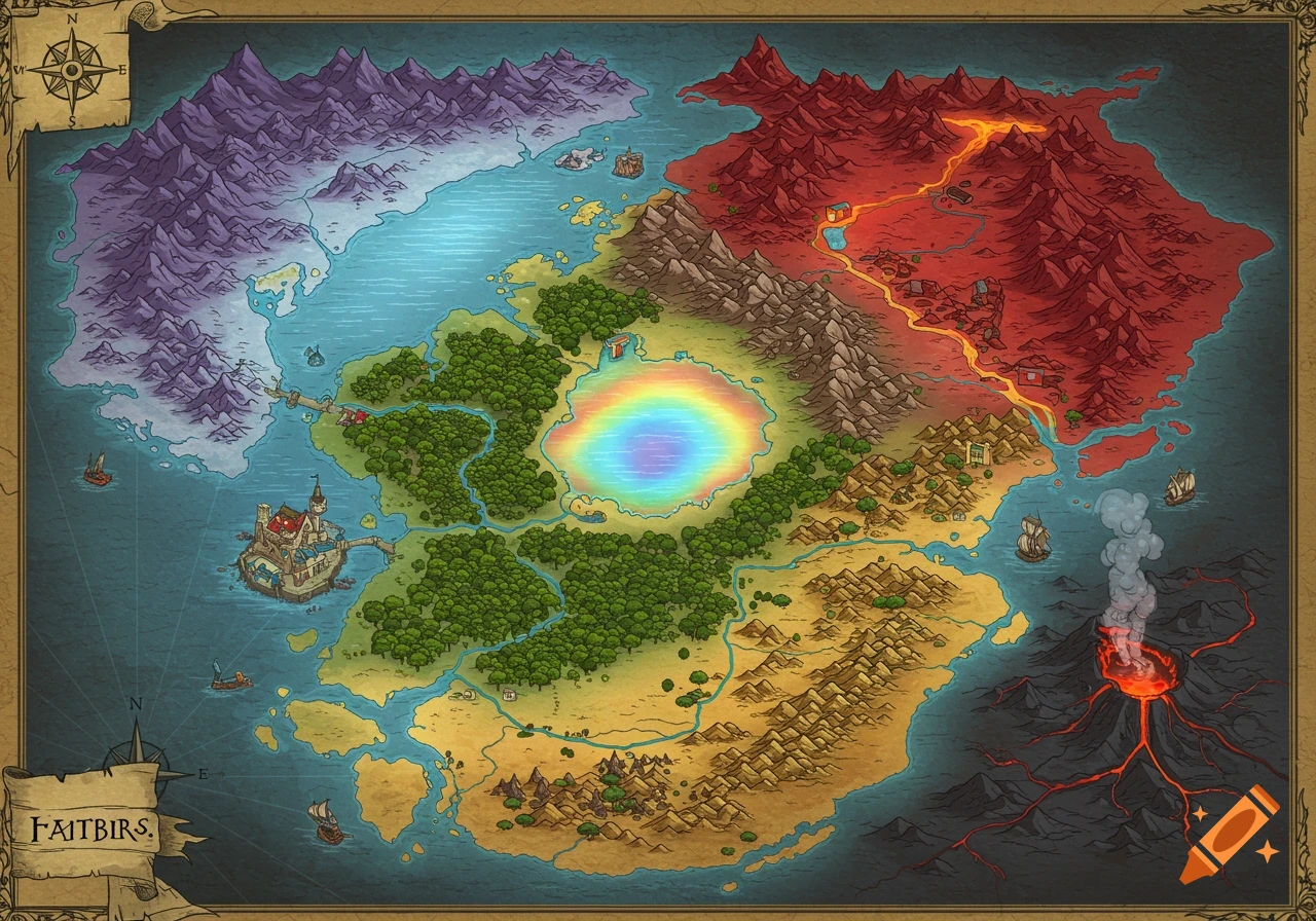
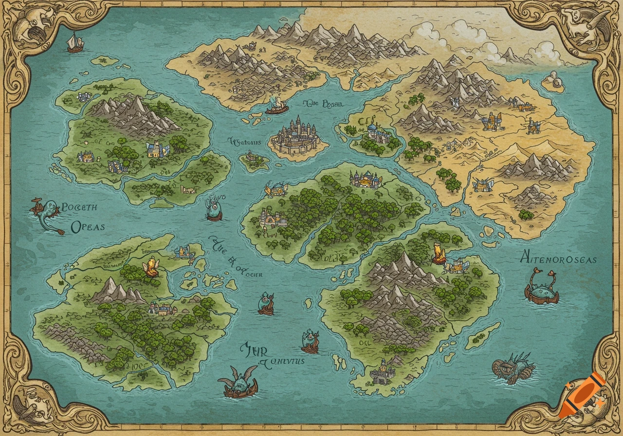
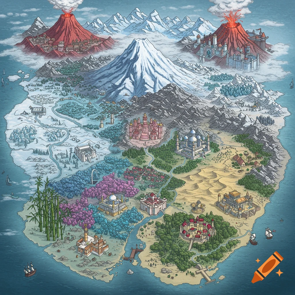
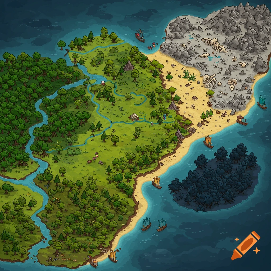
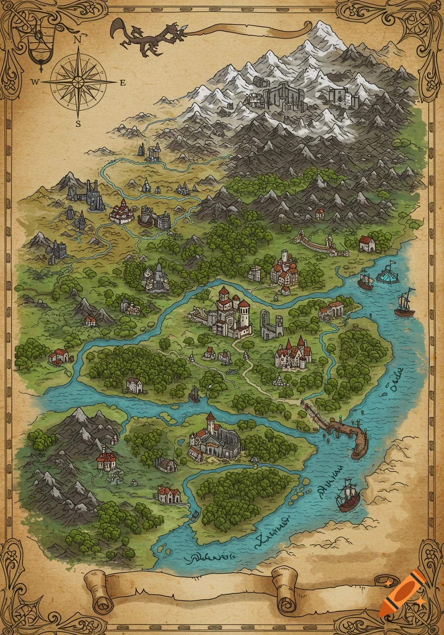
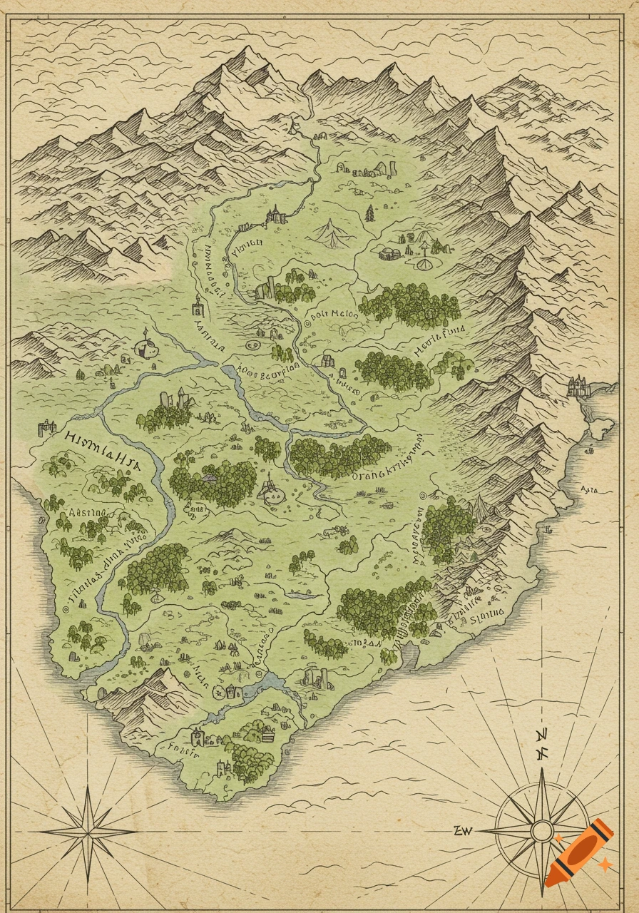
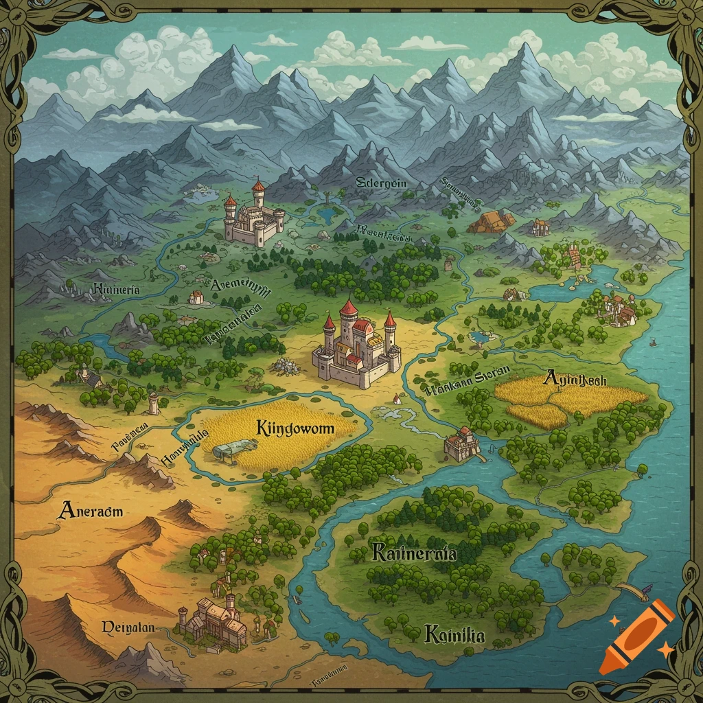
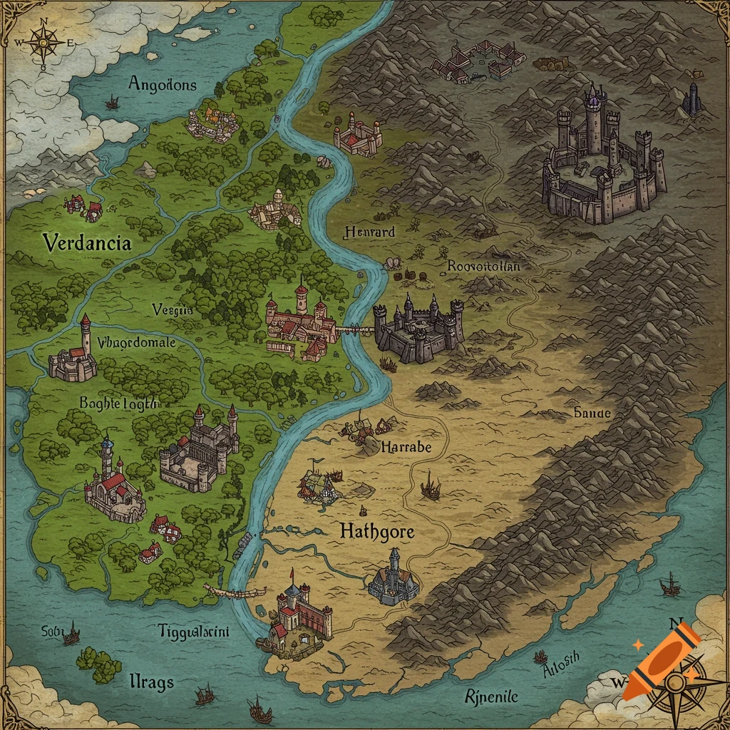
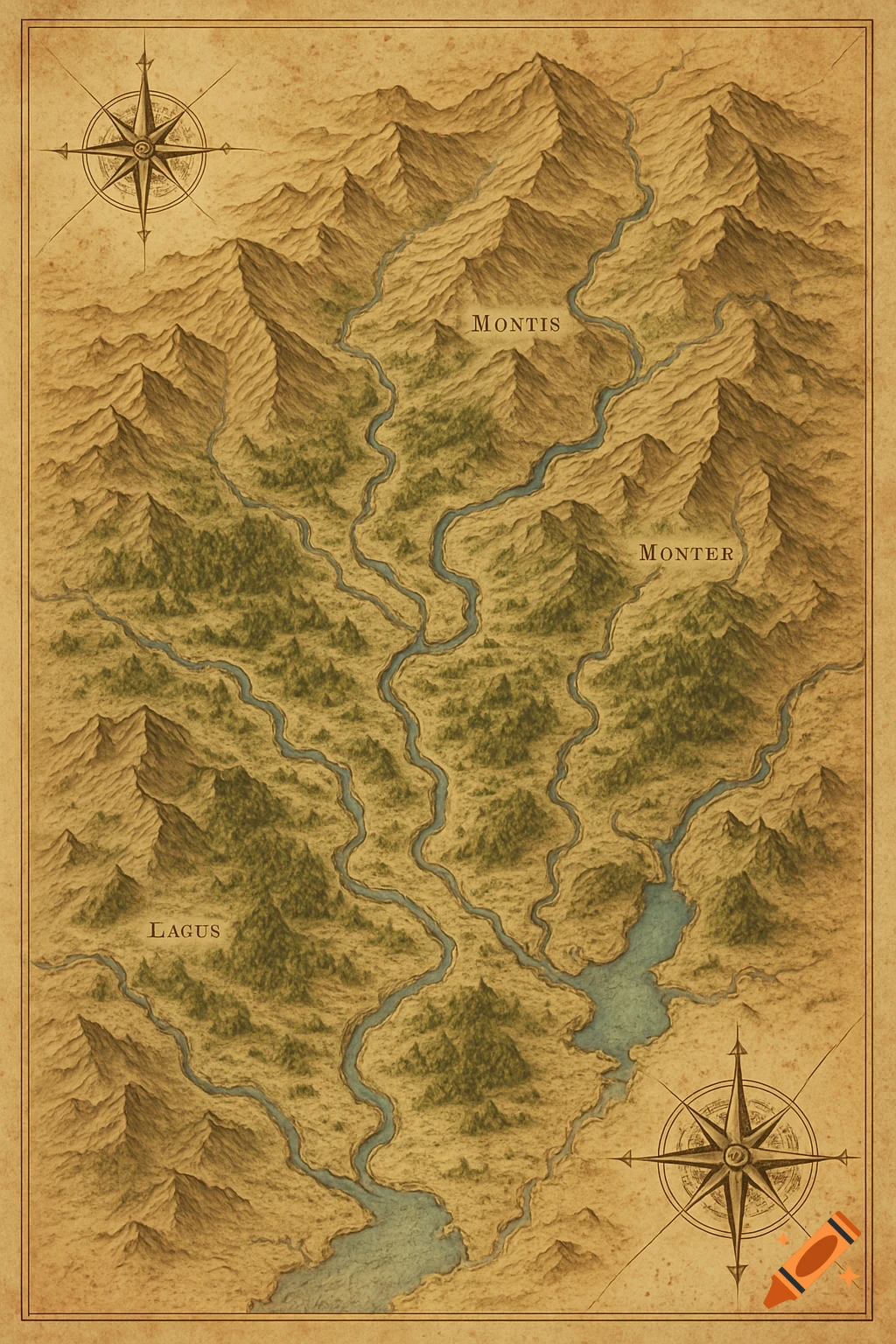
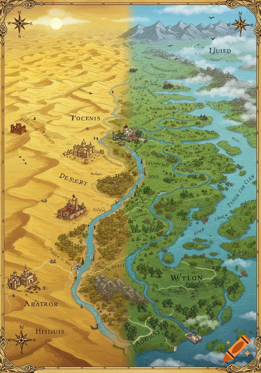
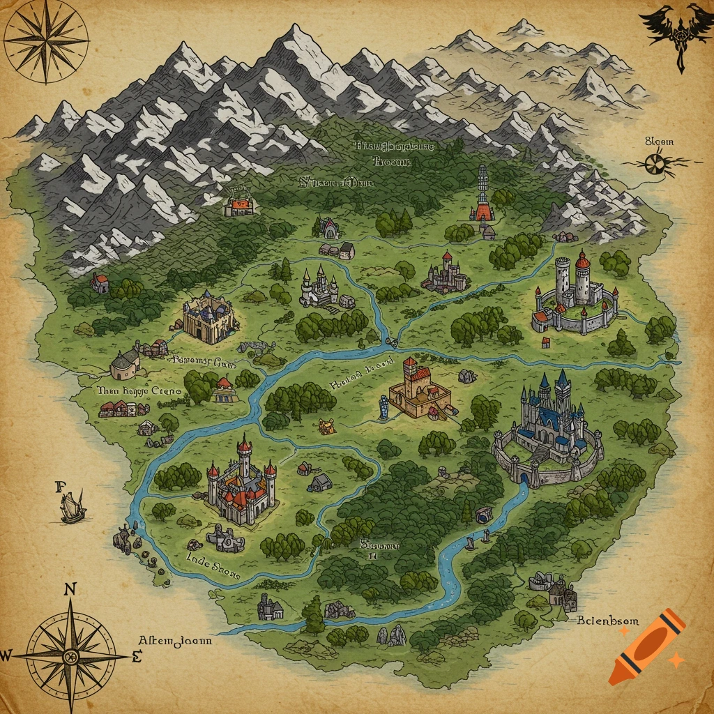
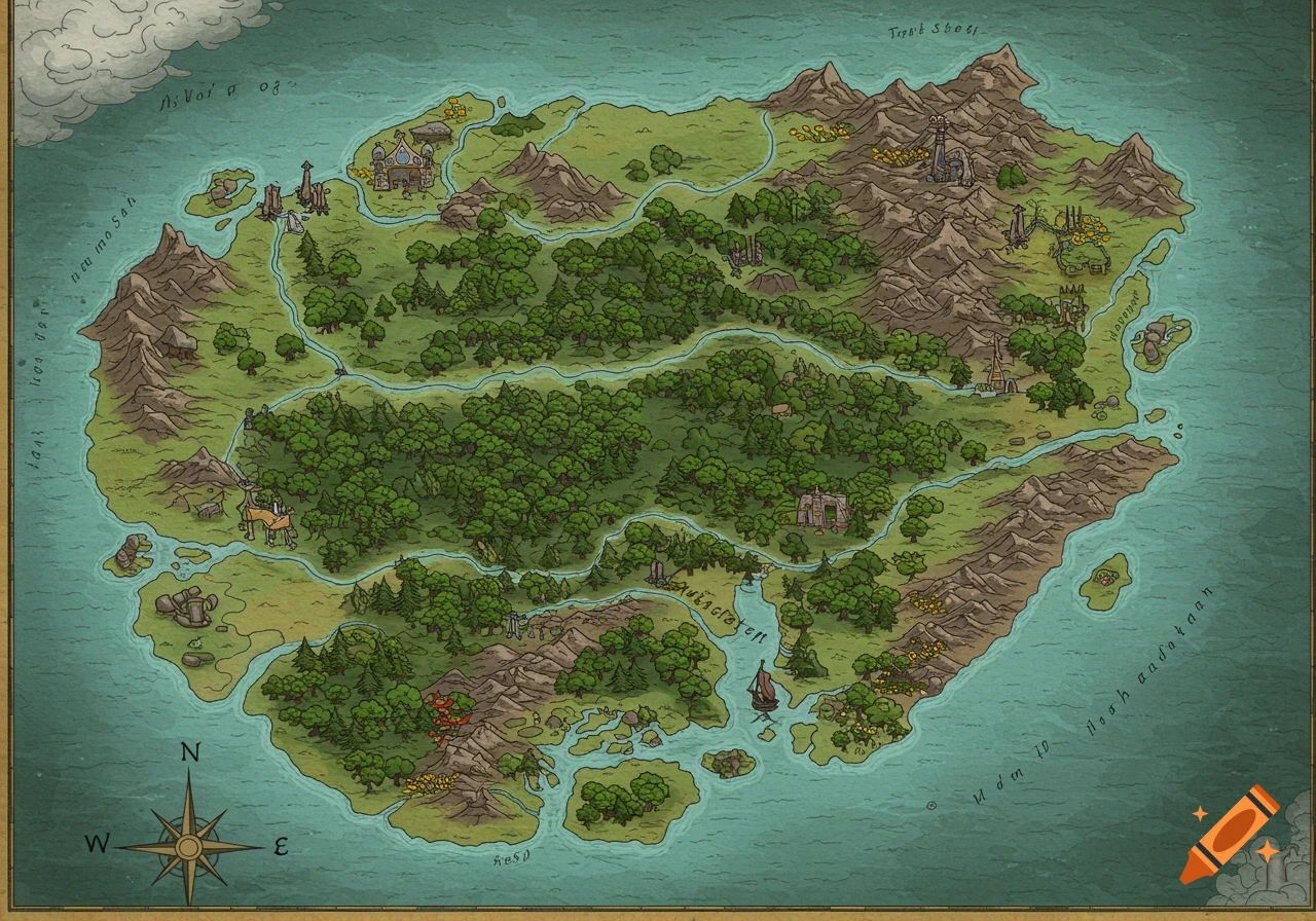
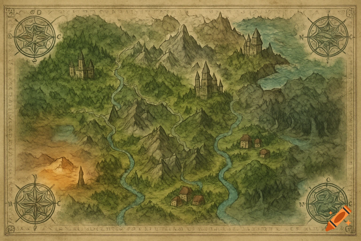
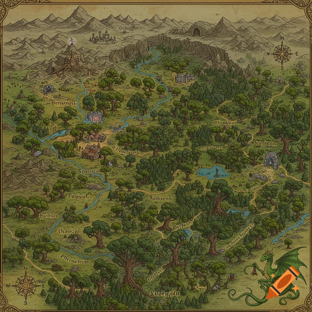
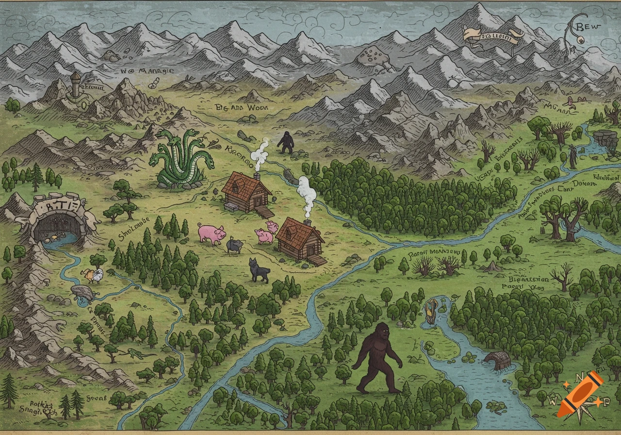
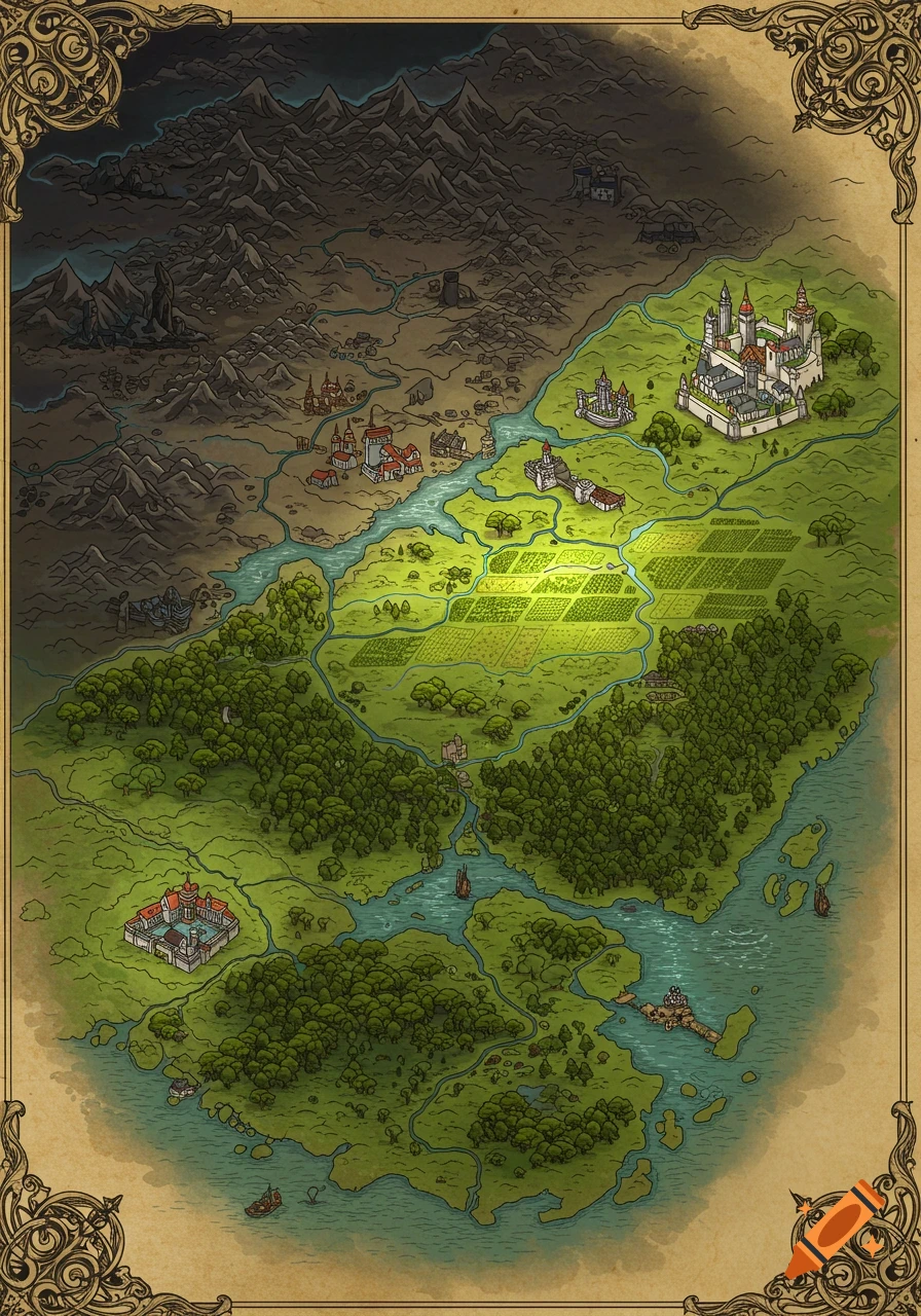
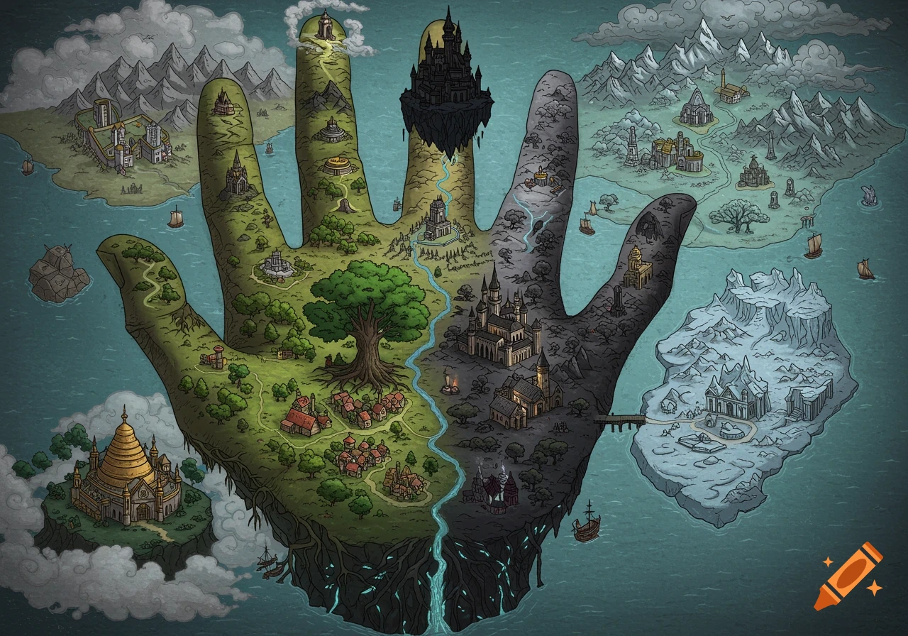
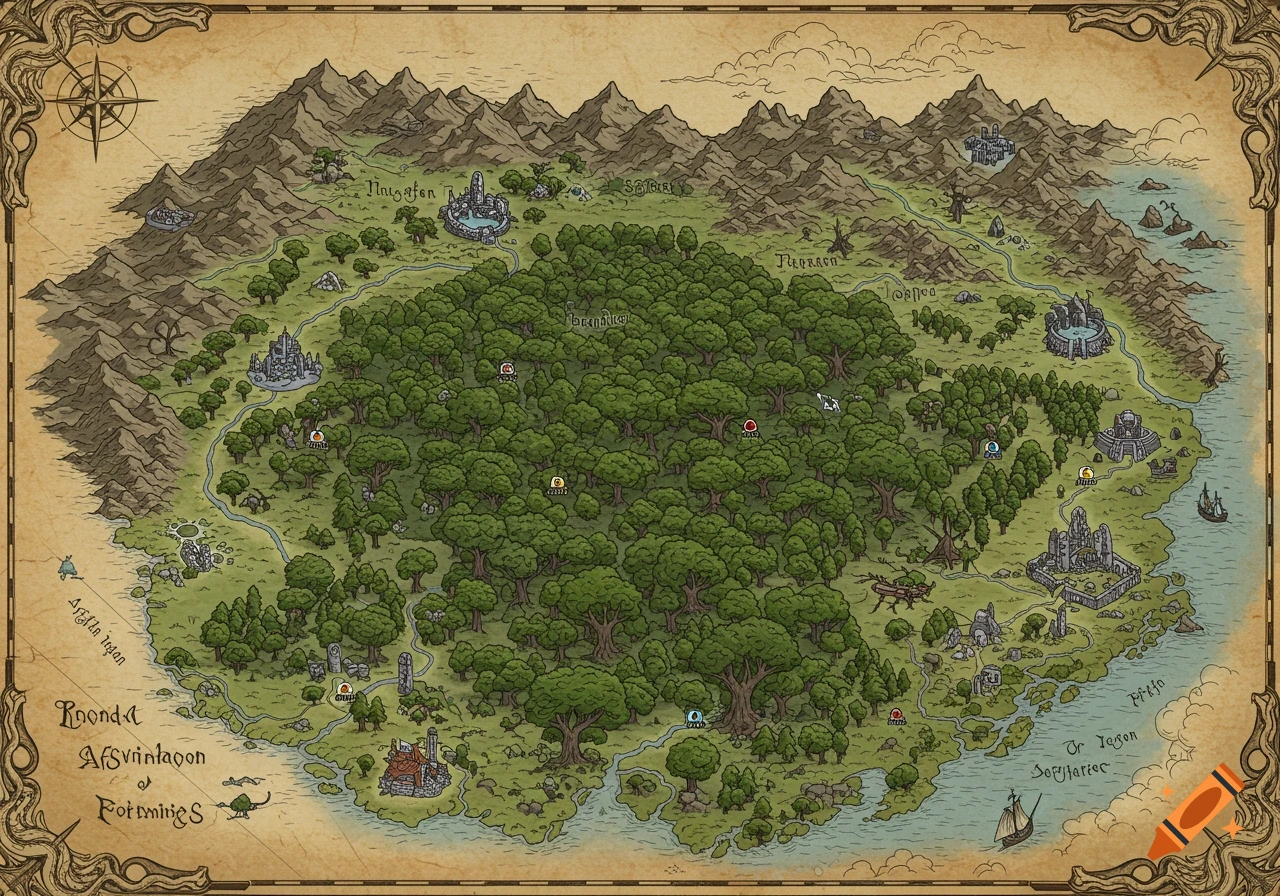
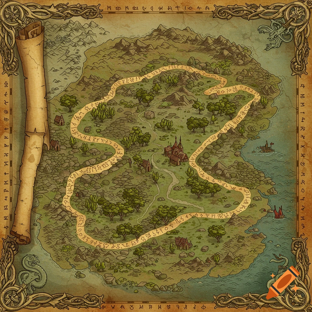
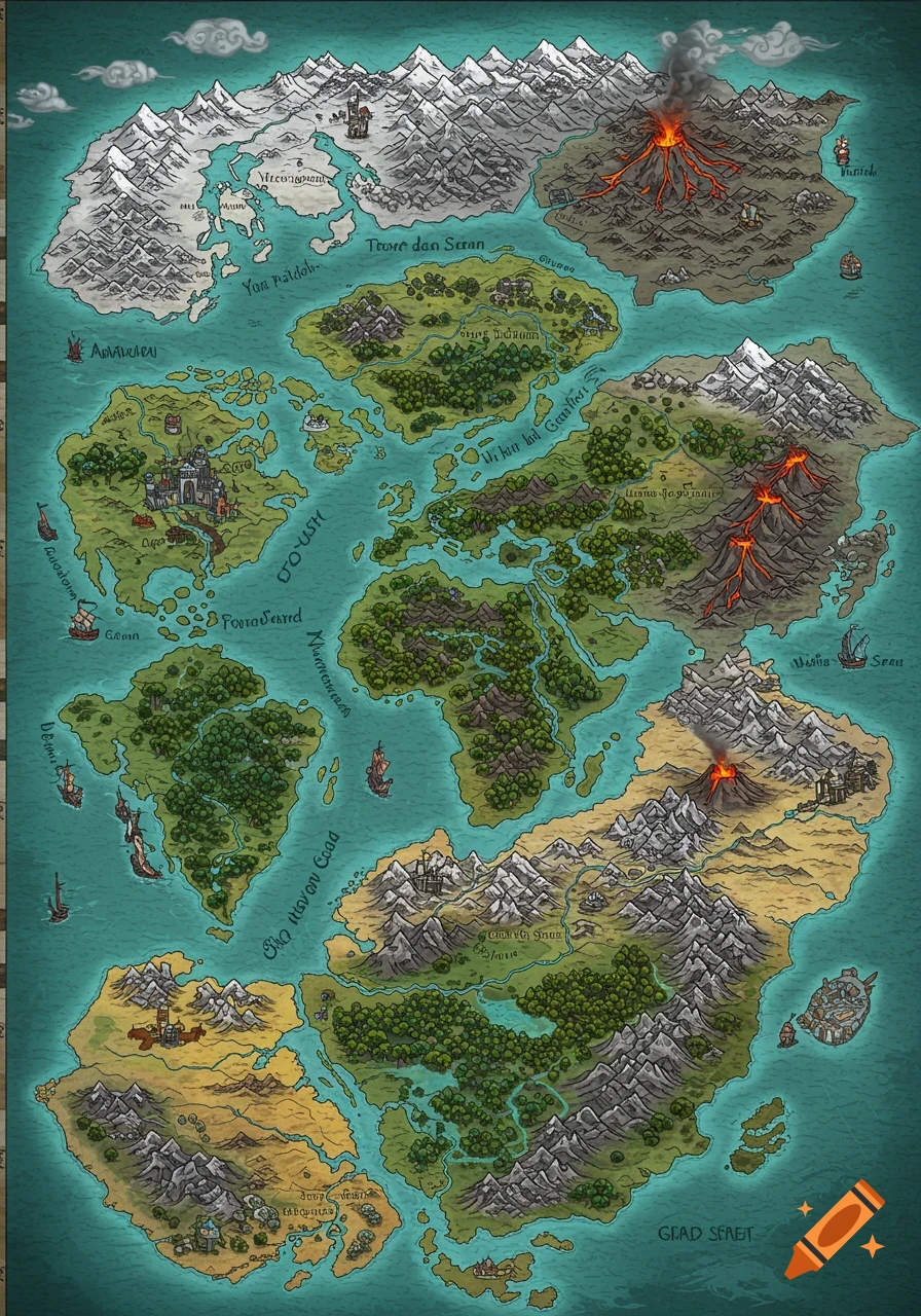
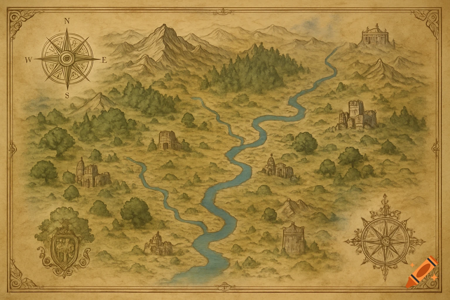
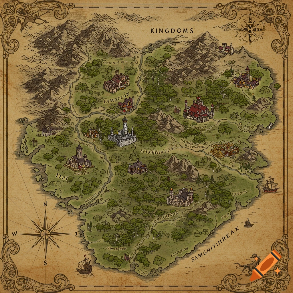
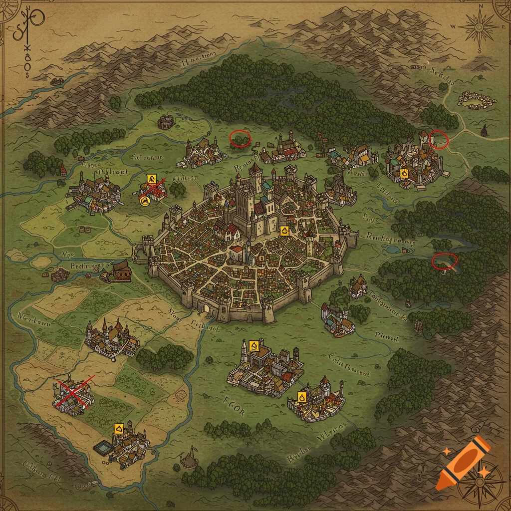
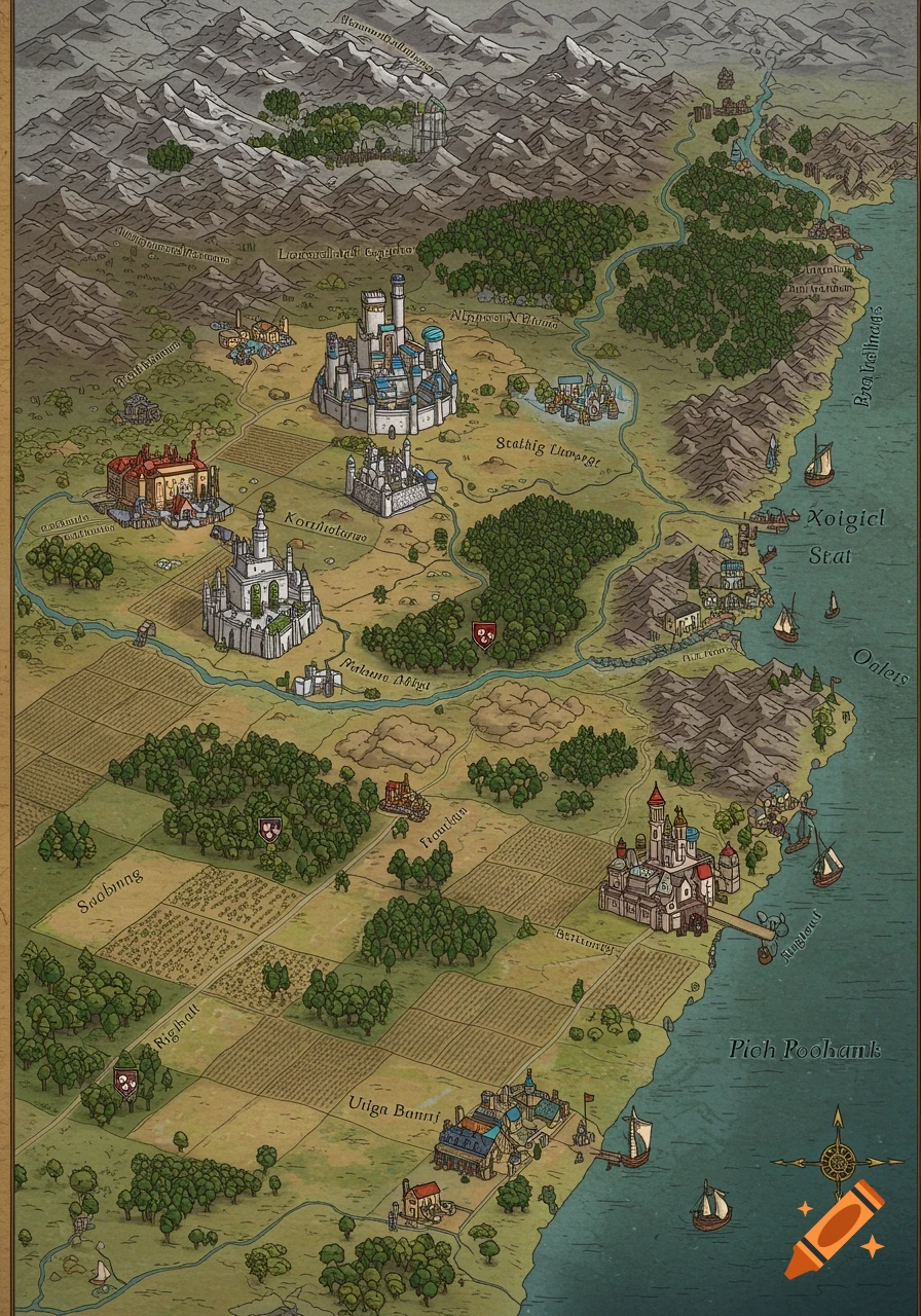
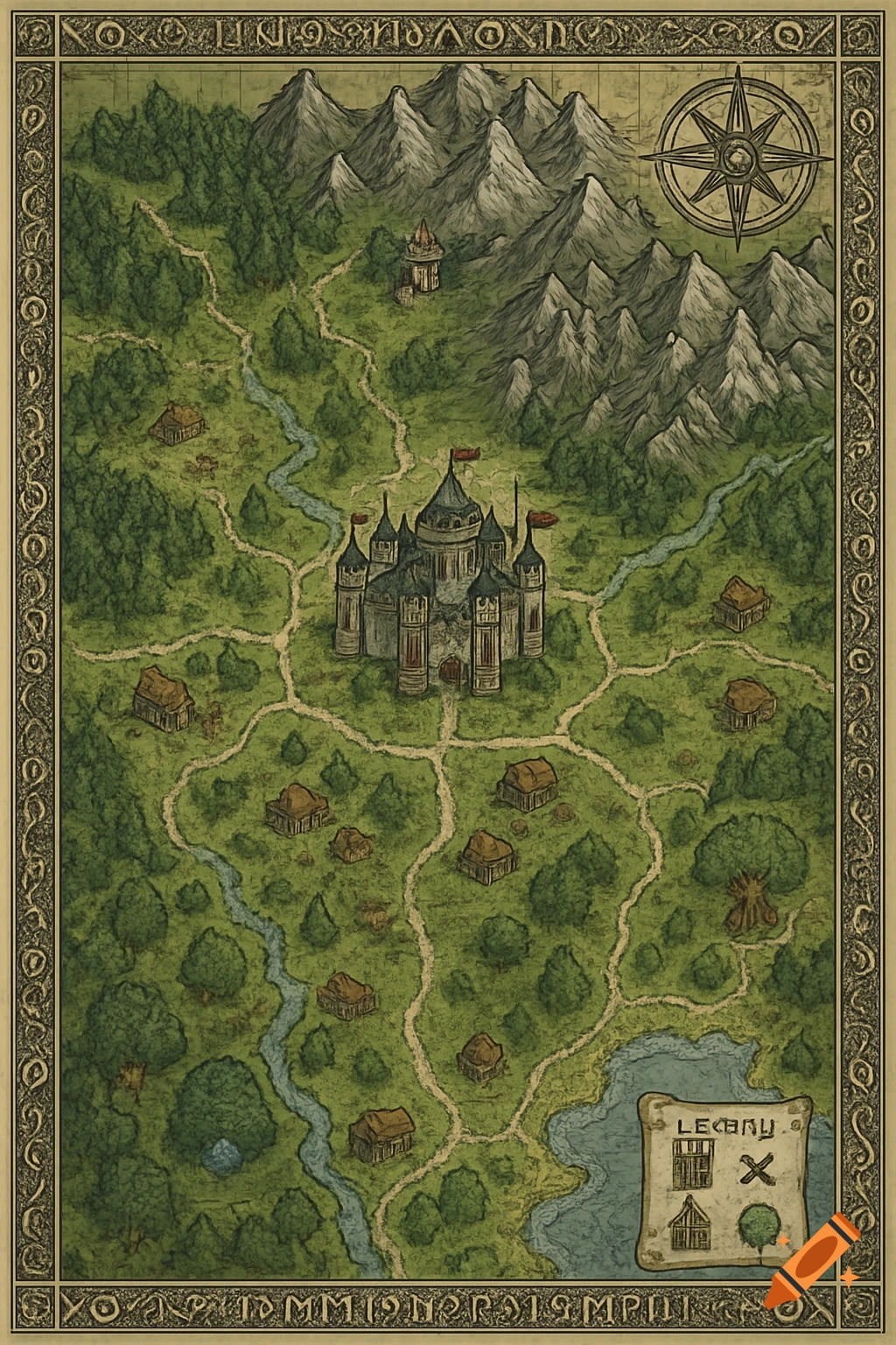
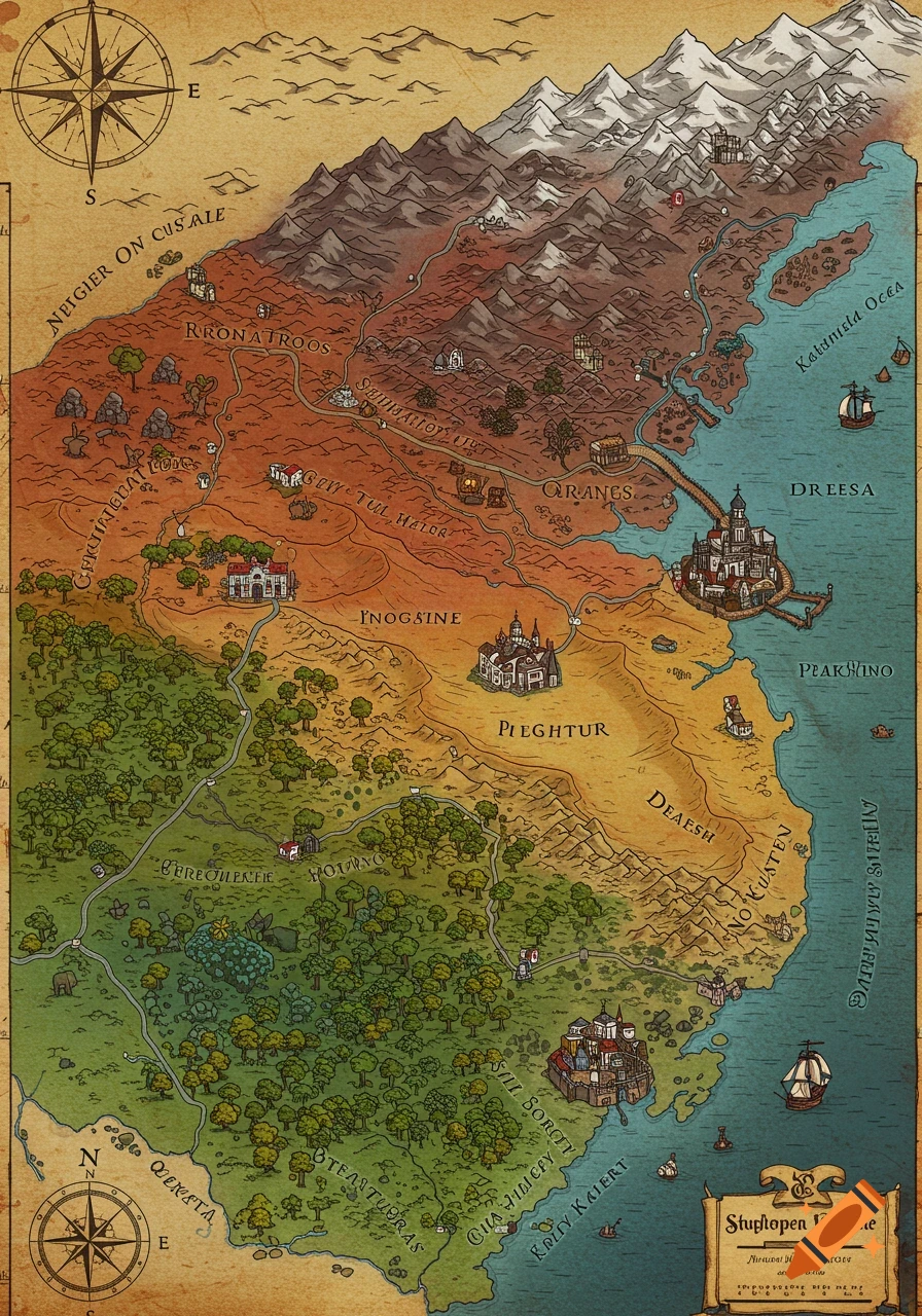
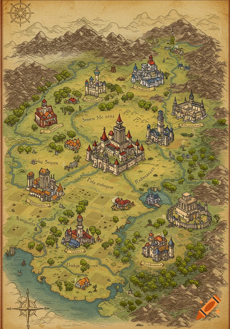
A colorful Dungeons and Dragons style fantasy map on a hexagonal grid, showing cities, forests, mountains, deserts, and water, with a scale legend.
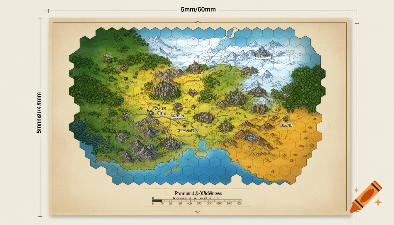
Generate a map in the dungeons and dragons style on a grid of hexagons, using pointy topped hexes. Size it to fit A4 paper factoring in 5mm of unprintable area (top, bottom and both sides) in a landscape layout. The map will be a wilderness map where each hex will be measured in miles and represents 5 miles, utalising a 4mm hex size. This is a large scale map so there are not a lot of specific details, greenish colour for forrests/plains, yellow for deserts, blue for water, white for frozen tundra. Some or all of those types may be present along with any other deemed suitable while generating the map. There will also be a scale underneath the legend showing the scope of each hex. Details the map will show are major capital cities, assume 1 for ever 500 to 1500 square miles, trees/mountains/plains/desert/ice etc based on the colour scheme as the predominant landscape of that hex, and major trade routes between various cities. See more
More images like this