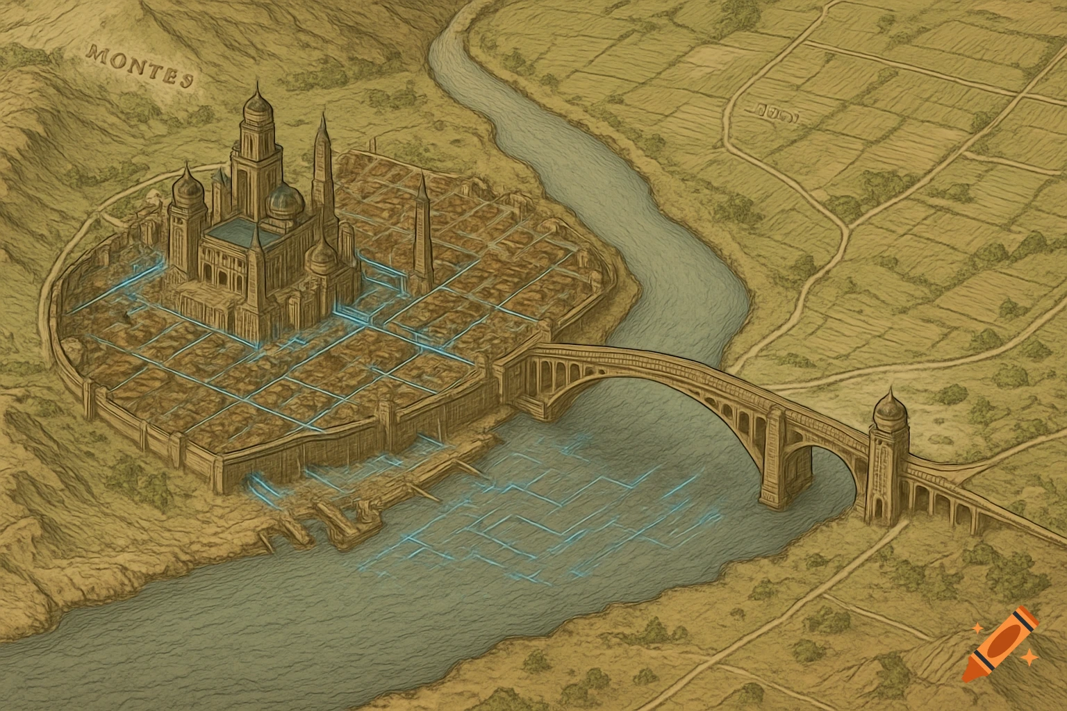
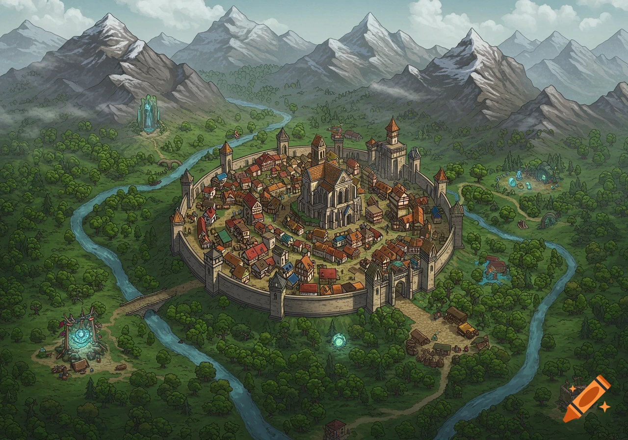
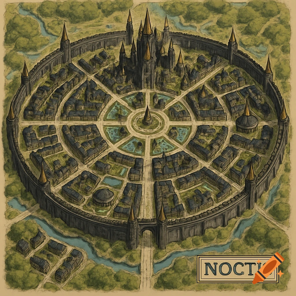
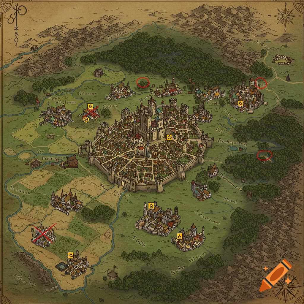
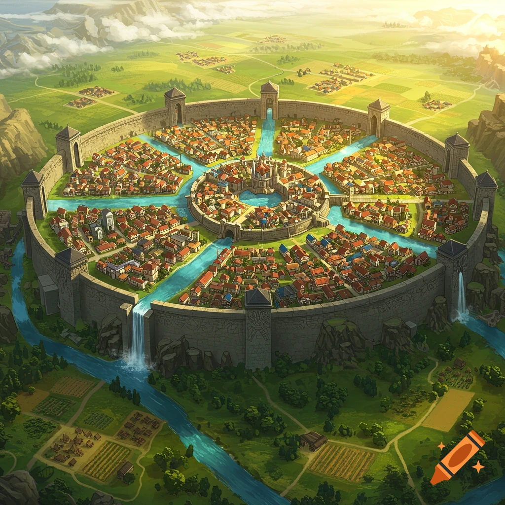
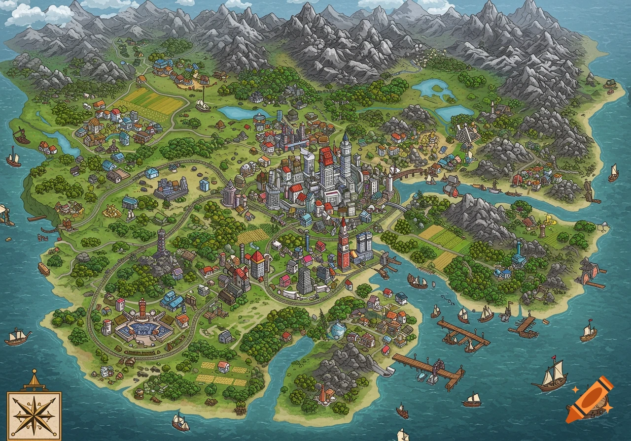
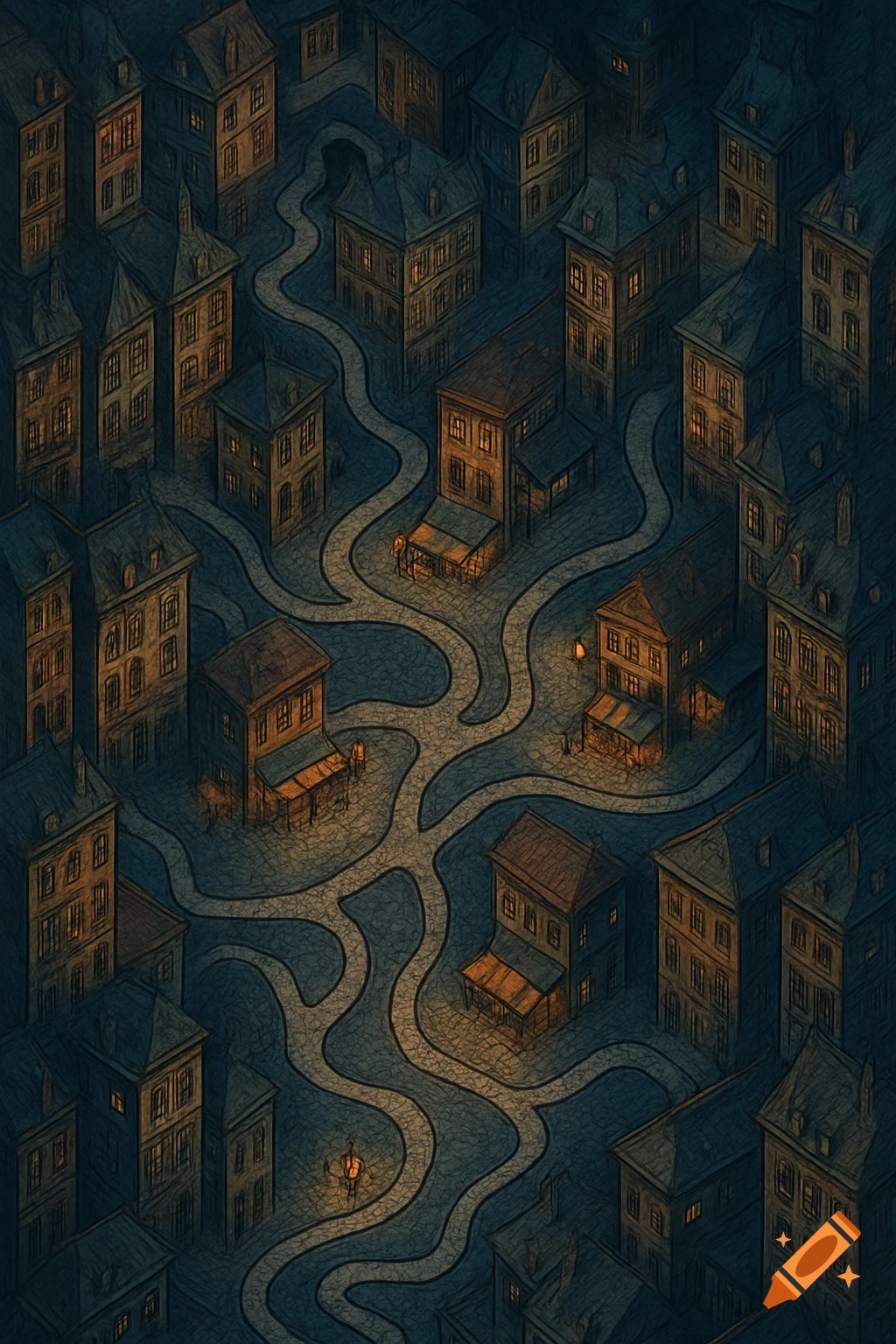
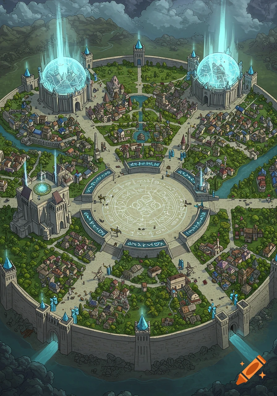
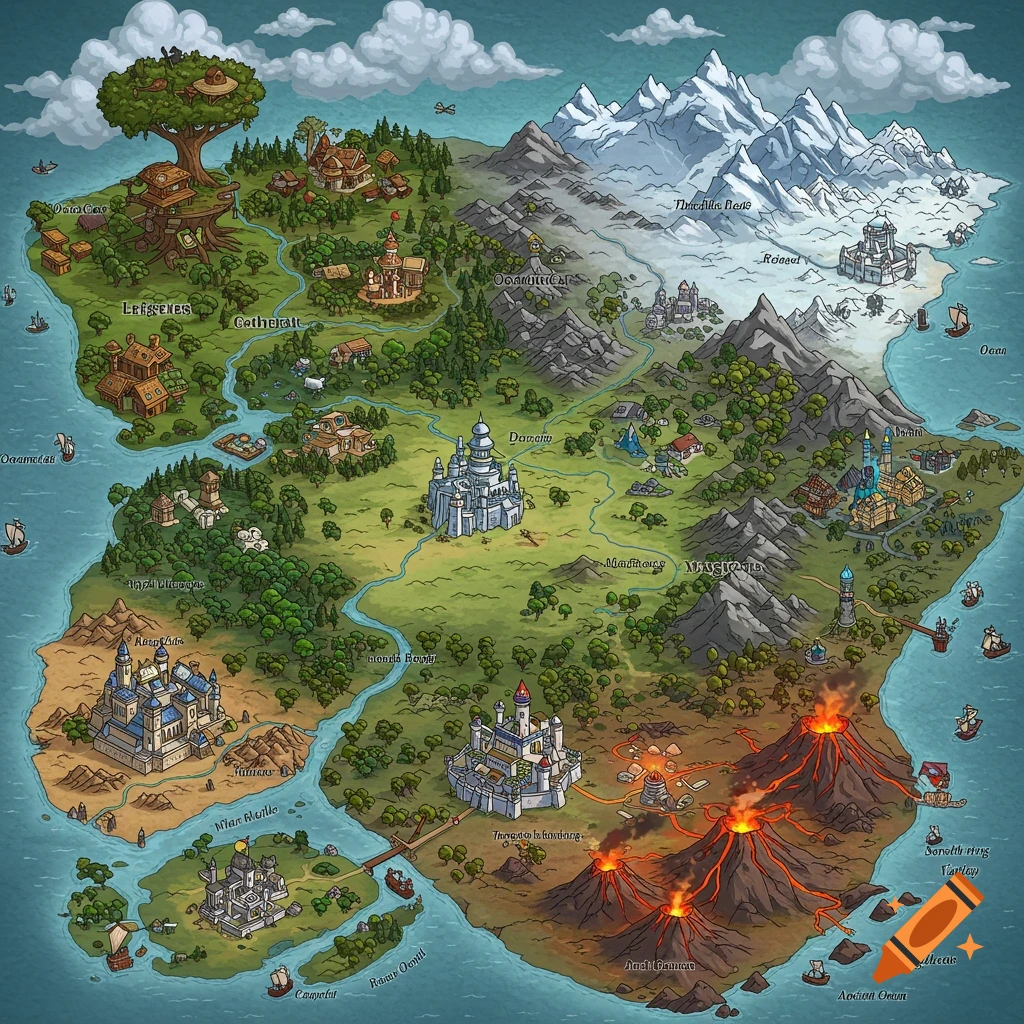
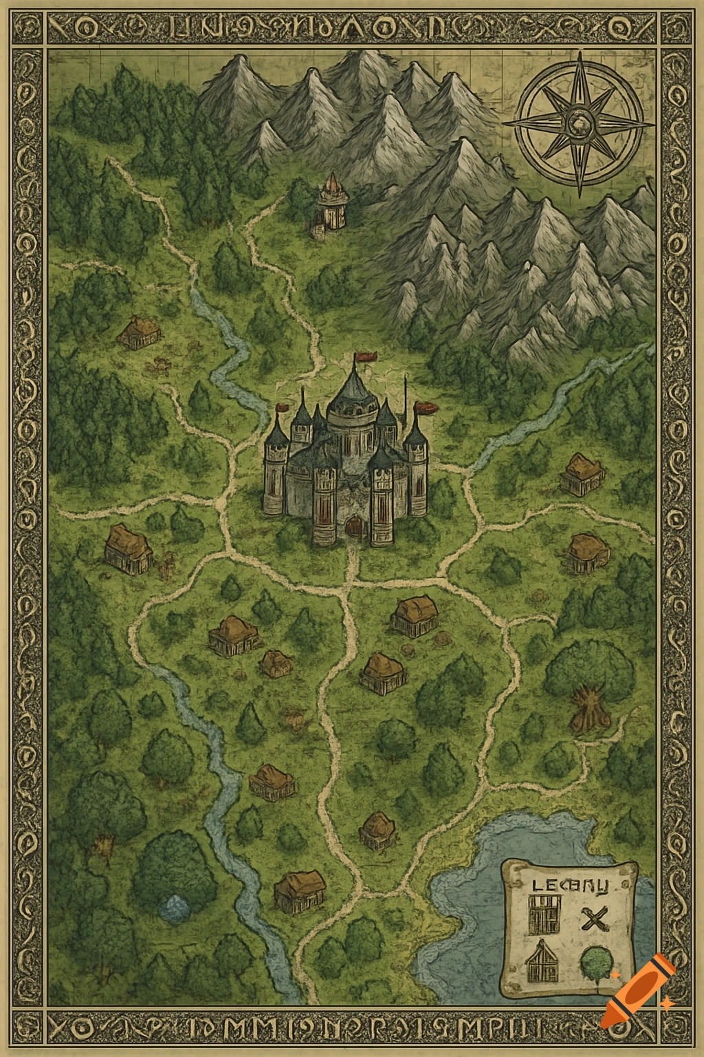
Top-down illustrated map of a dense, circular canal city with a central palace.

Top-down map of a vast imperial capital, a great metropolis of a whole continent, built as a dense canal city inside a circular ring wall, seen from directly above, the city filling the frame. The scale is enormous: thousands of buildings, a metropolis, not a town. At the exact center, a great fortified palace complex with a domed council hall, high towers and inner courtyards, ringed by the oldest and densest quarter of the city. From this center, exactly seven (7) canals flow outward, curving gently with soft sinuous bends, meandering like rivers, never straight, broad and busy, crowded with barges, lighters and ferries. Between each pair of canals lies a wedge-shaped district, seven in total: weavers with dye-vats, warehouses with cranes, a great market square, a temple quarter with domes, a guild quarter with palaces, a residential quarter, a quarter of workshops and forges. Many arched stone bridges cross the canals, at least six per canal, some wide and lined with shops. The city is packed solid. Thousands of tall narrow houses of four, five and six storeys crammed shoulder to shoulder, sharing walls, roofs almost touching, built right up to the canal edge with their walls rising from the water. Narrow winding alleys barely wide enough for one cart. Not a single empty lot inside the walls: every space between canal and street is filled with rooftops. Scattered among them, the tall roofs of guildhalls, wealthy merchant palaces, bell towers and church spires rising above See more
More images like this