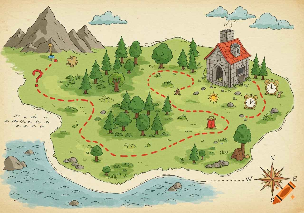
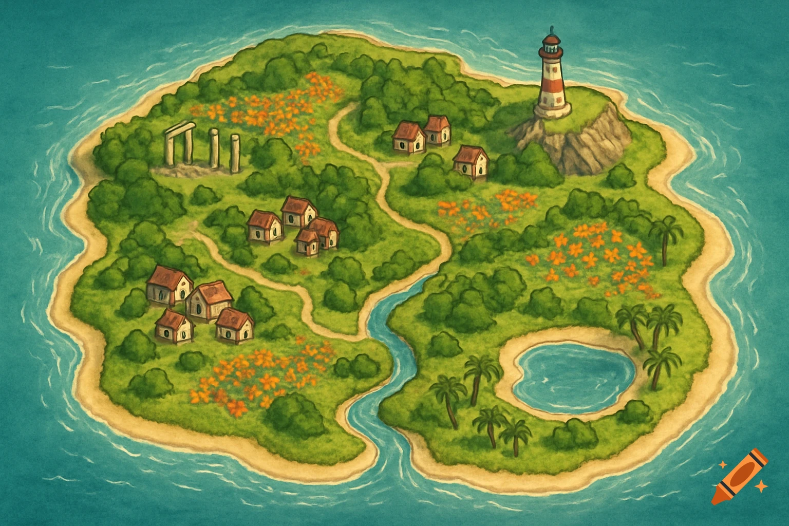
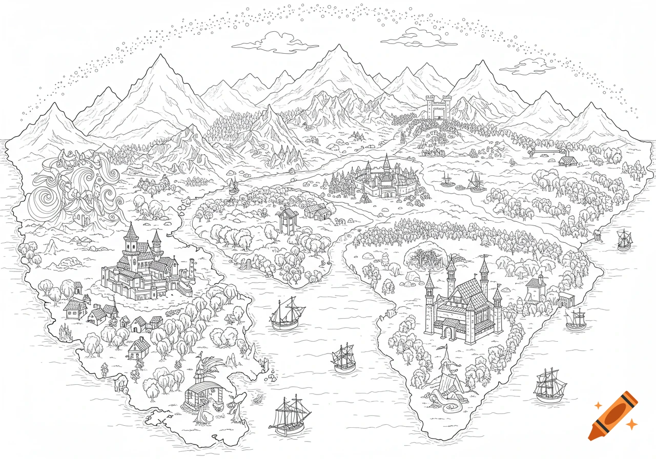
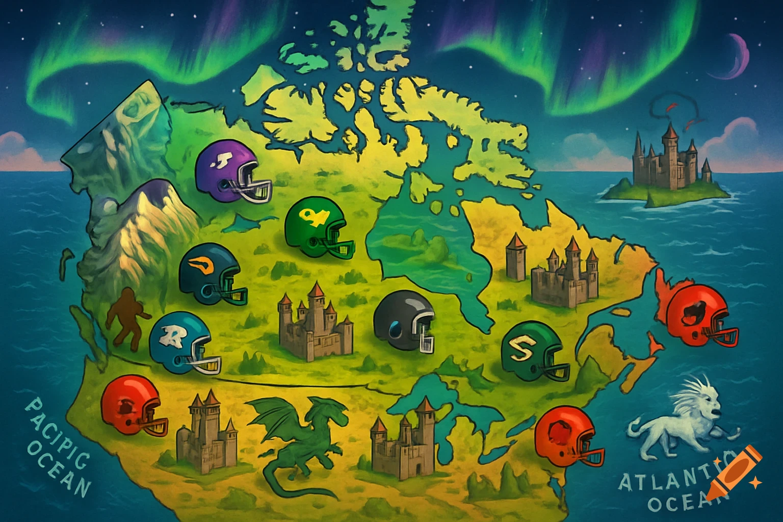
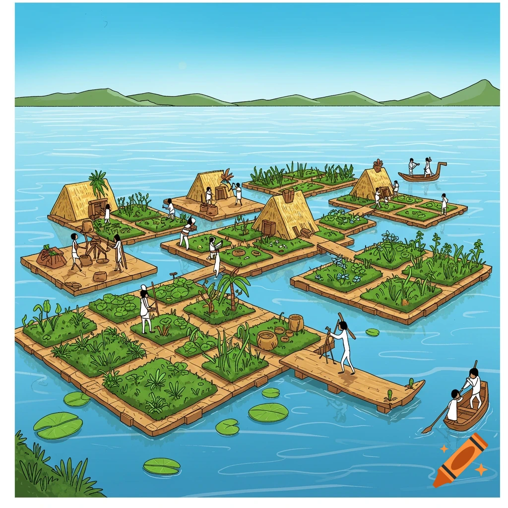
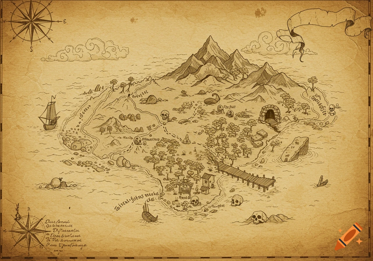
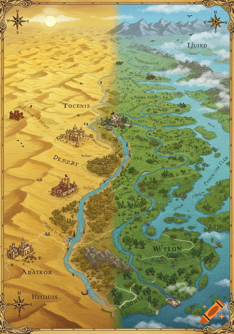
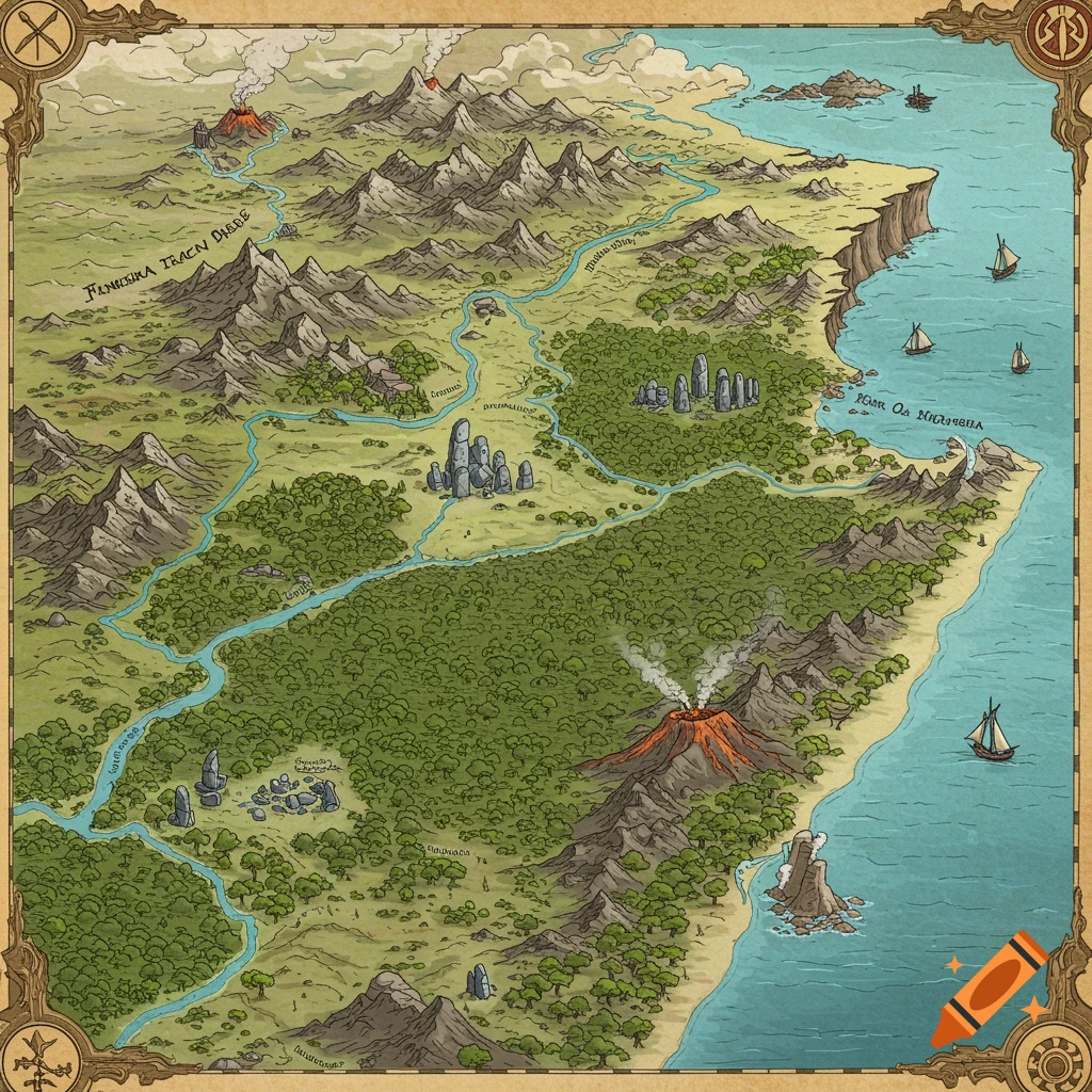
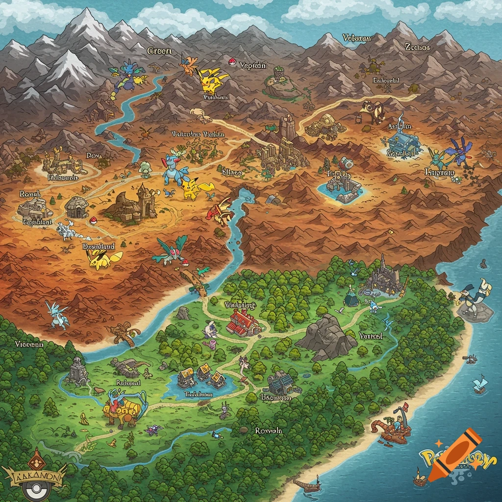
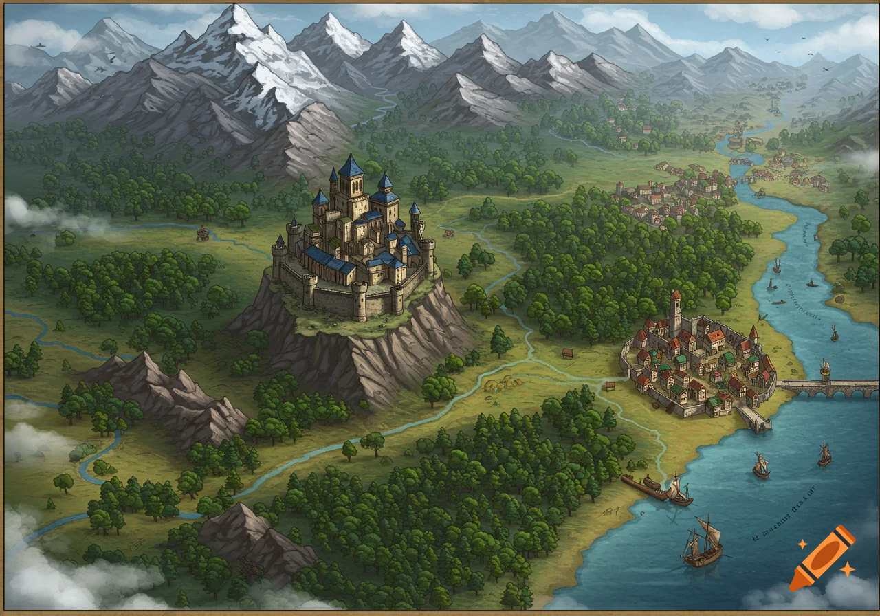
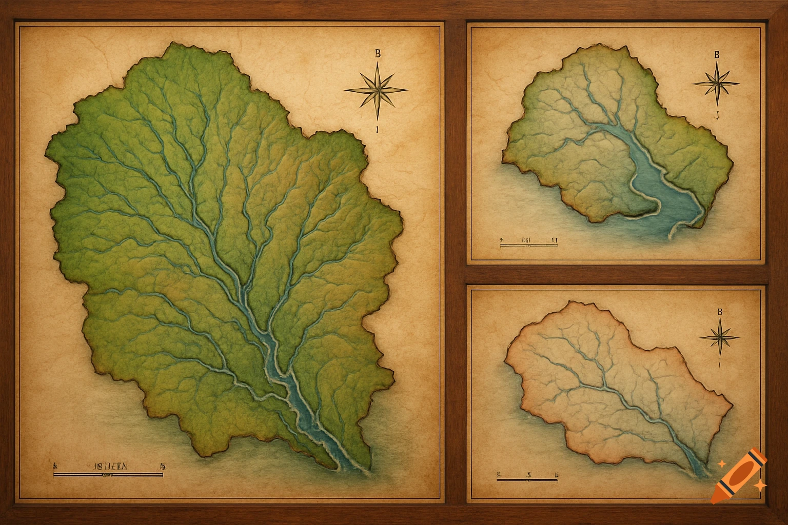
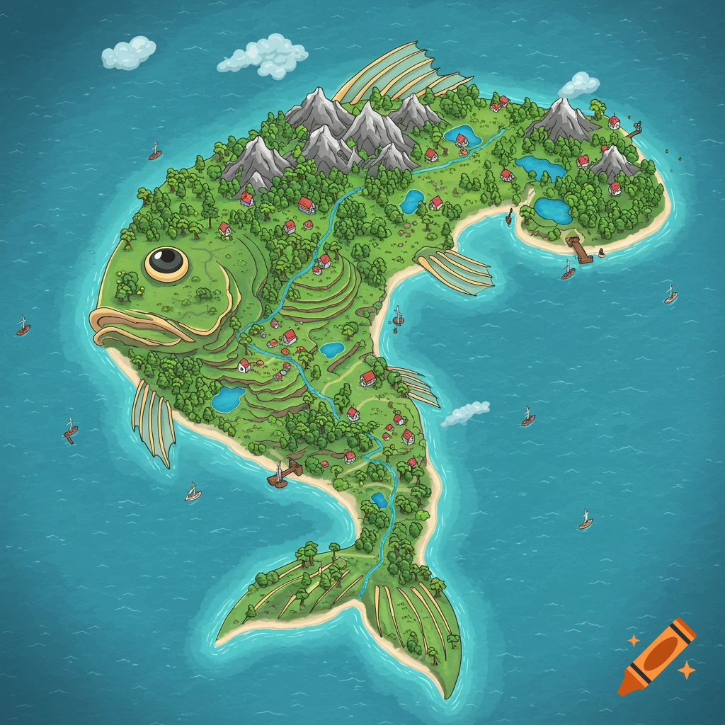
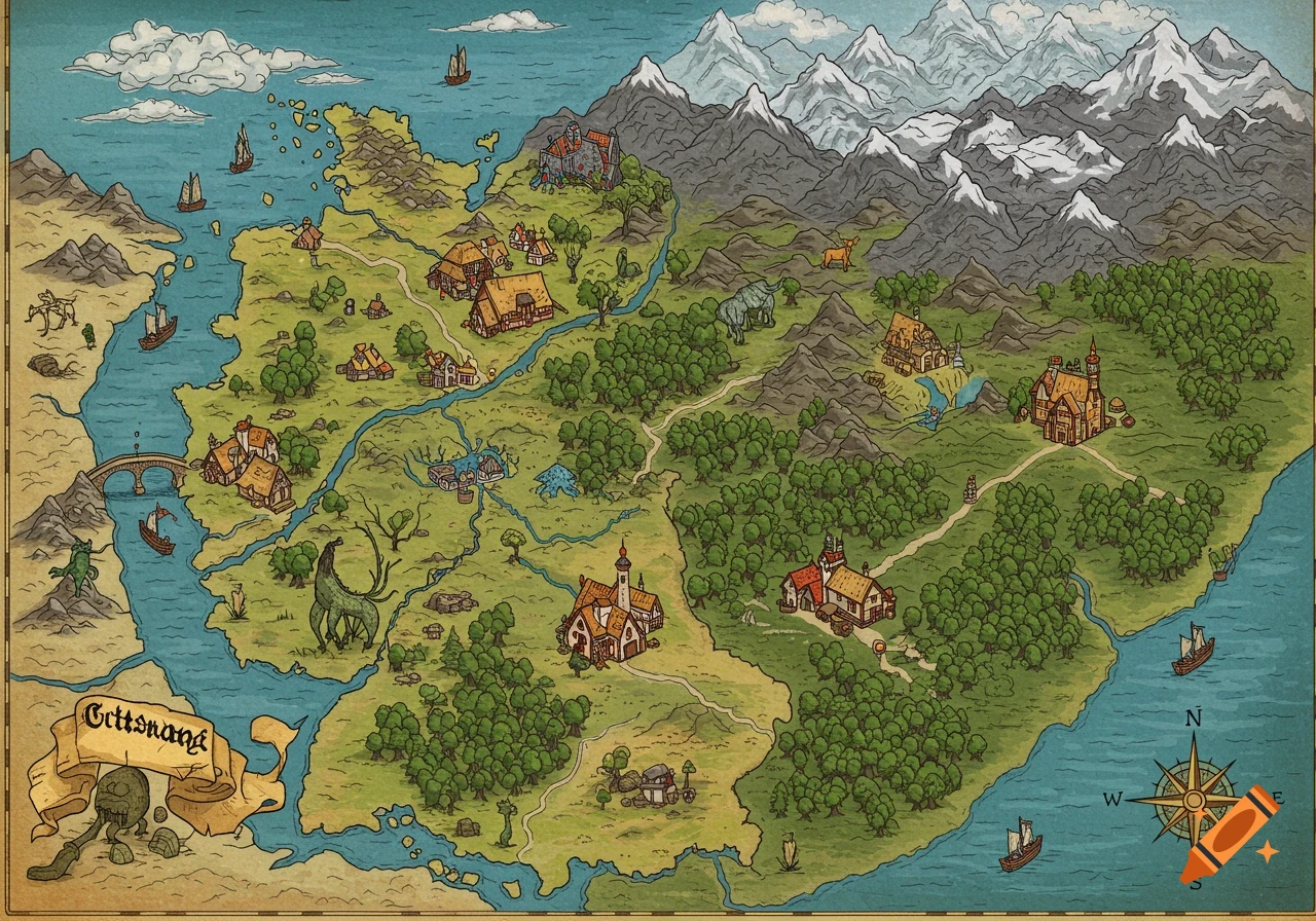
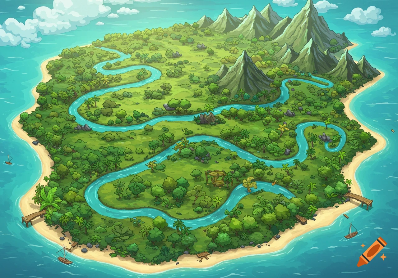
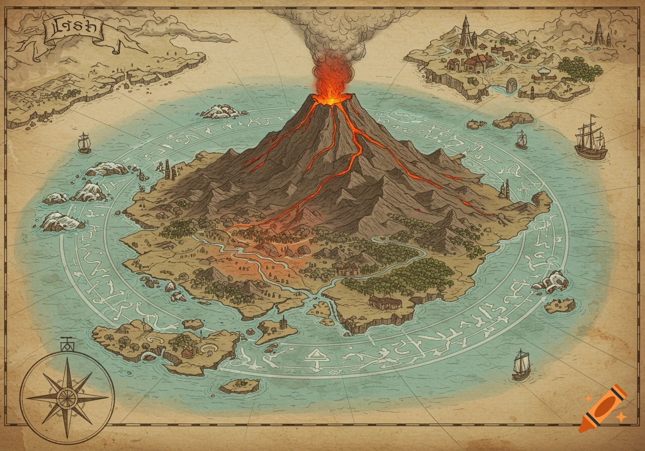
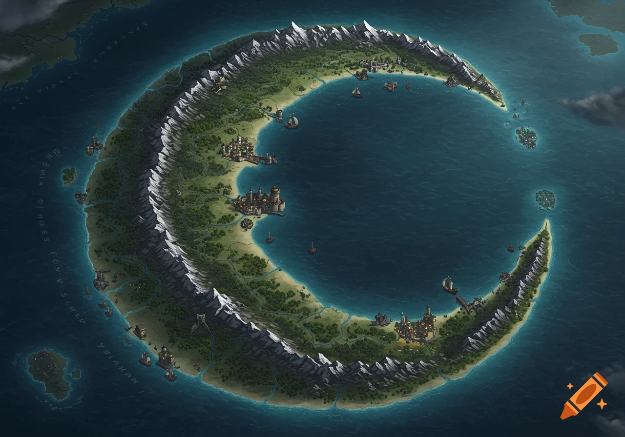
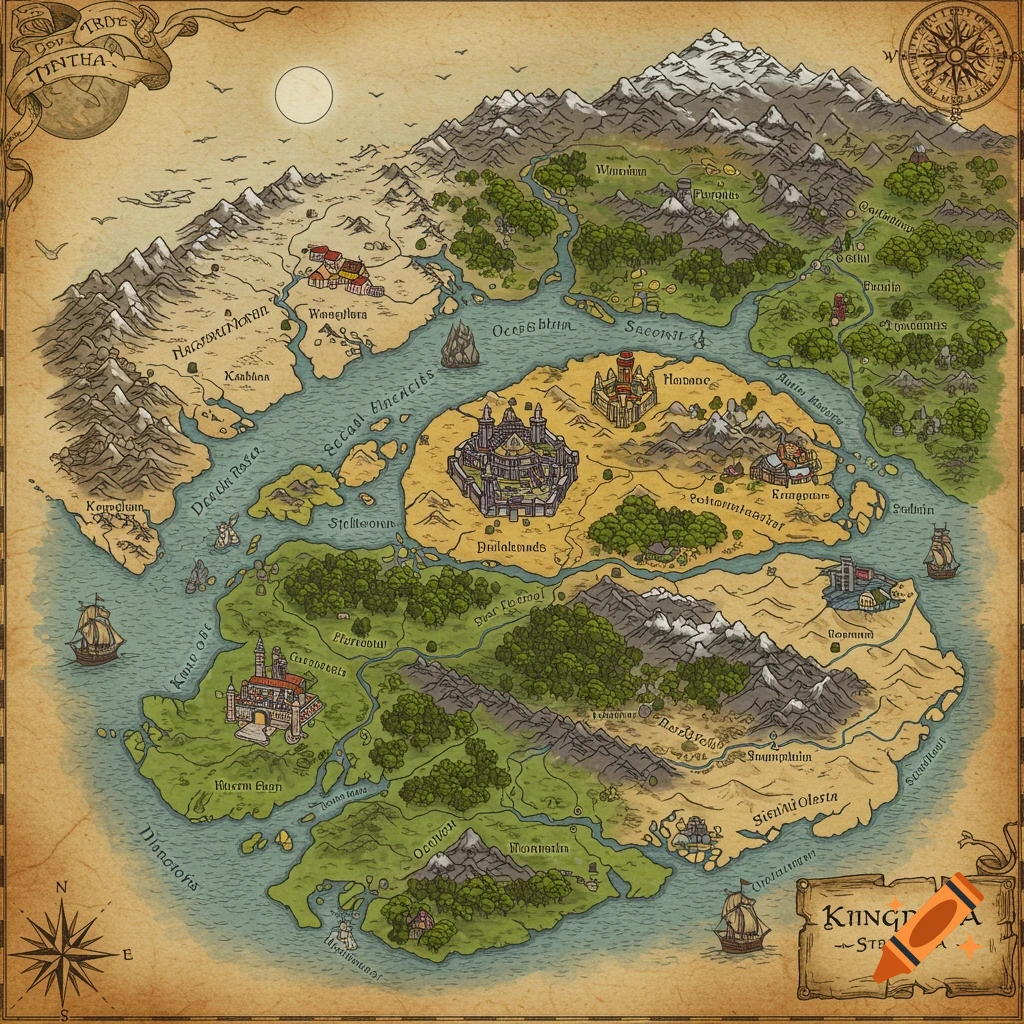
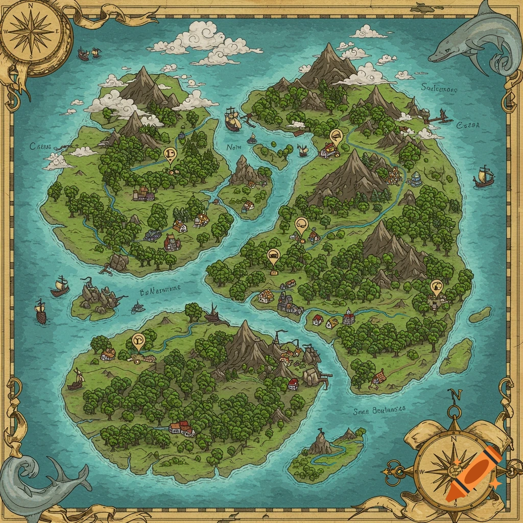
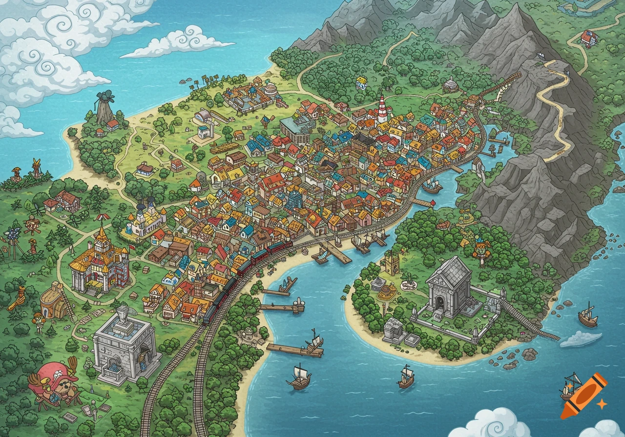
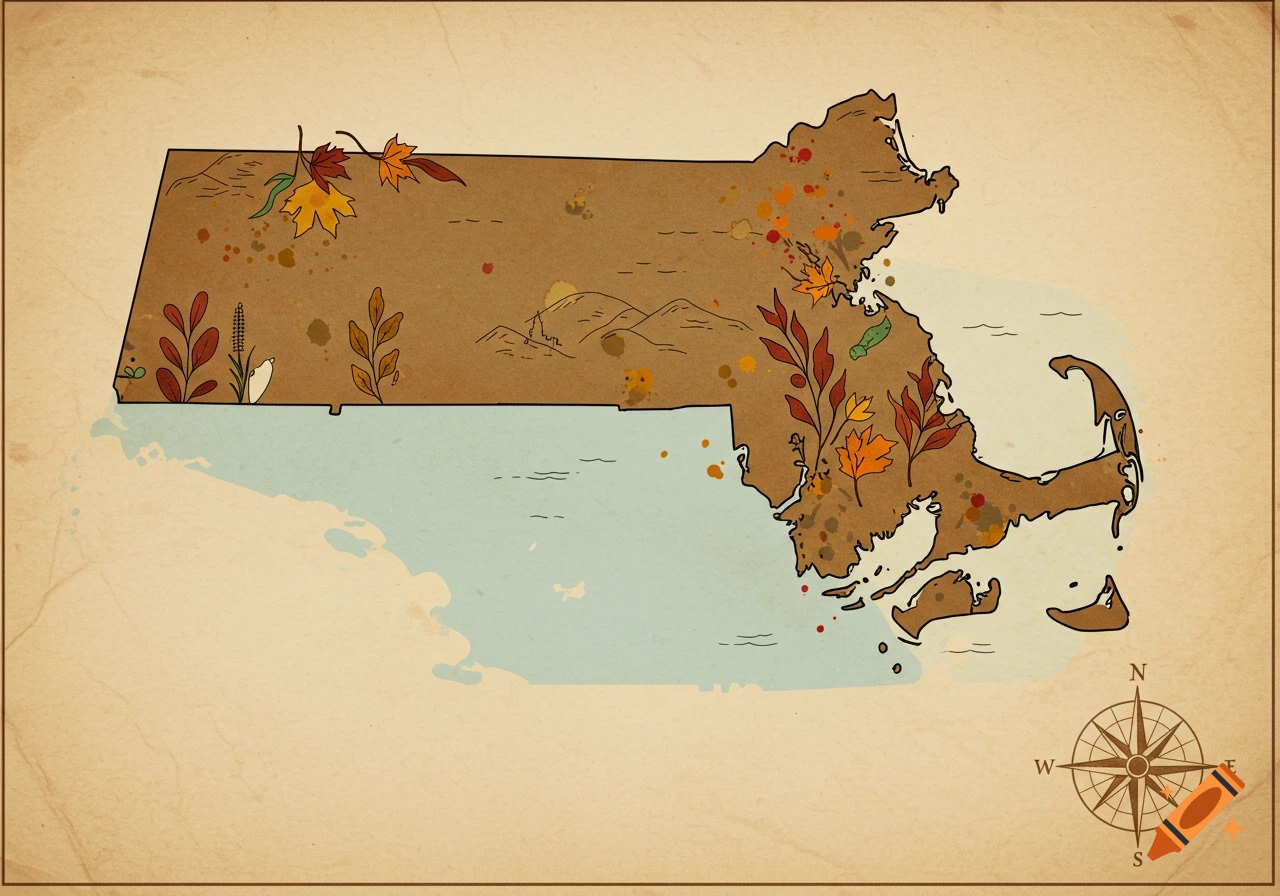
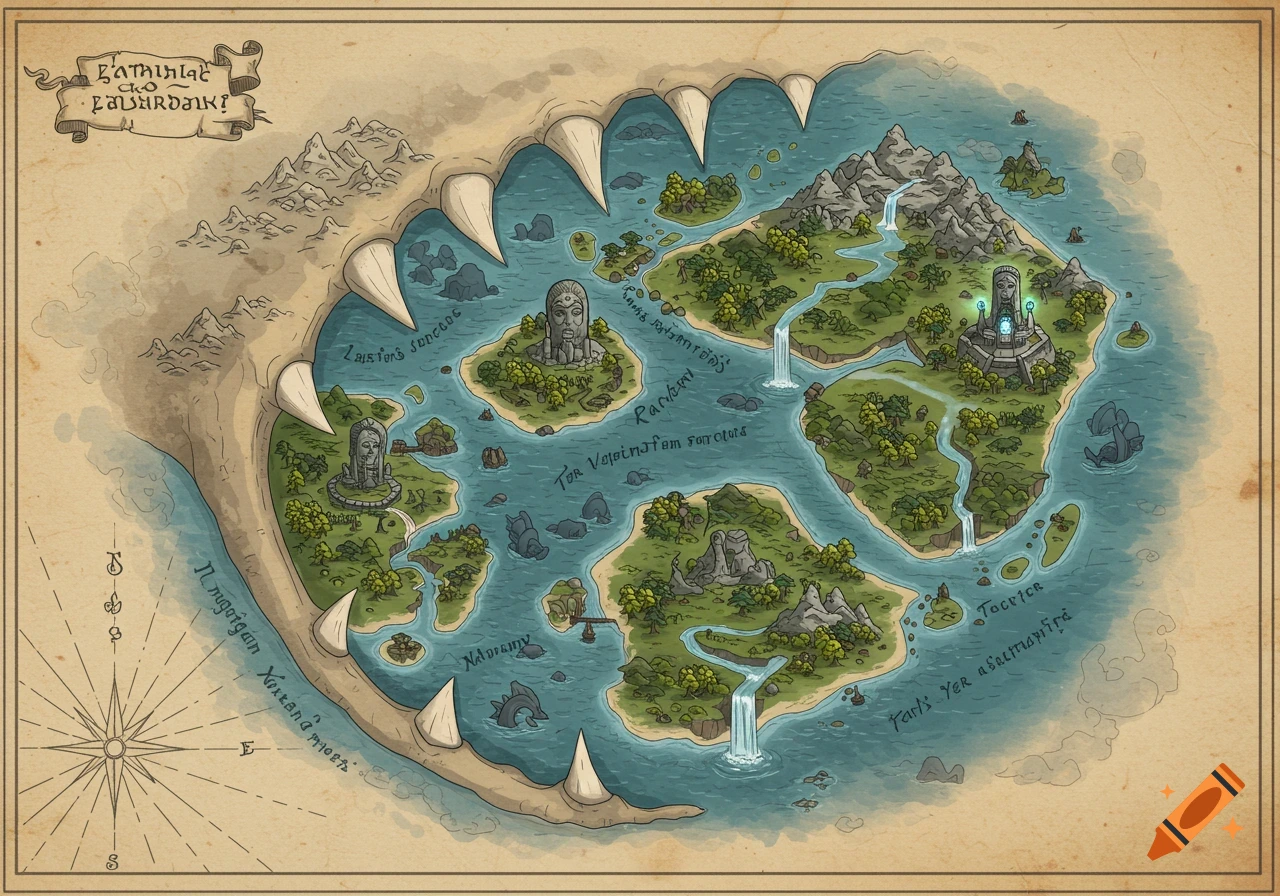
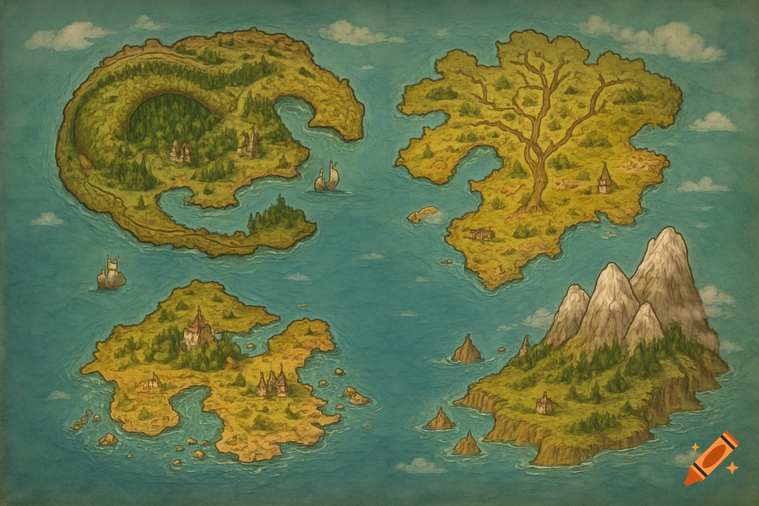
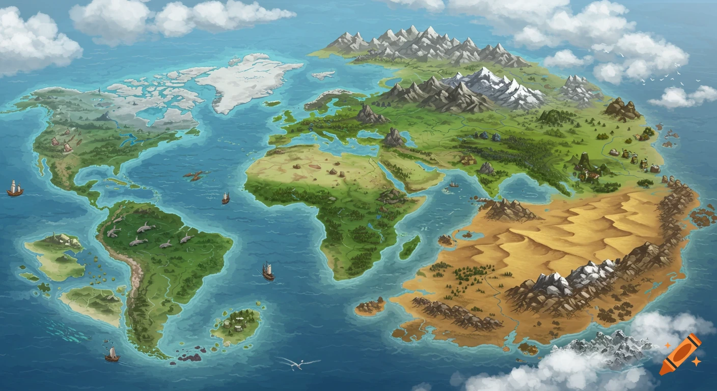
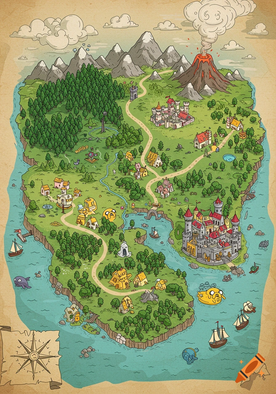
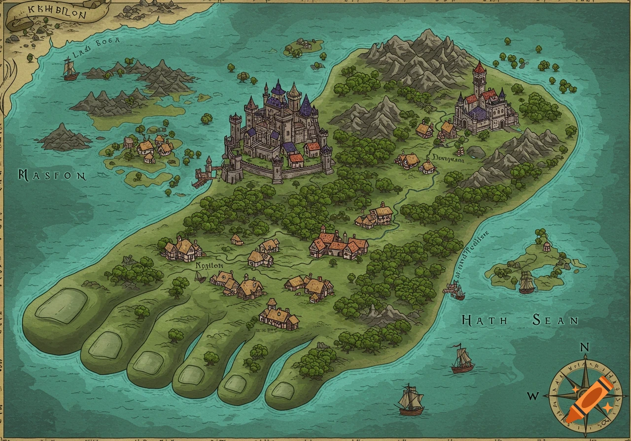
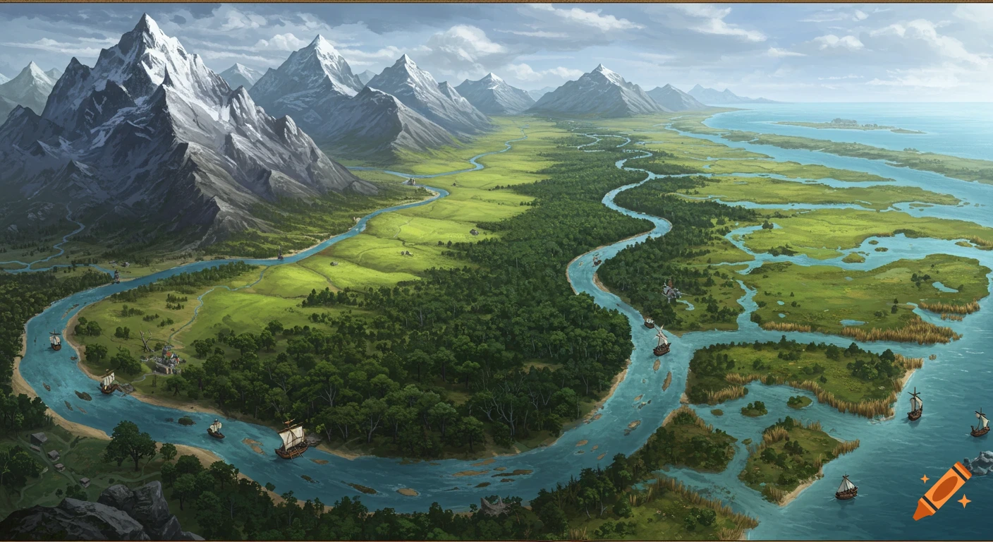
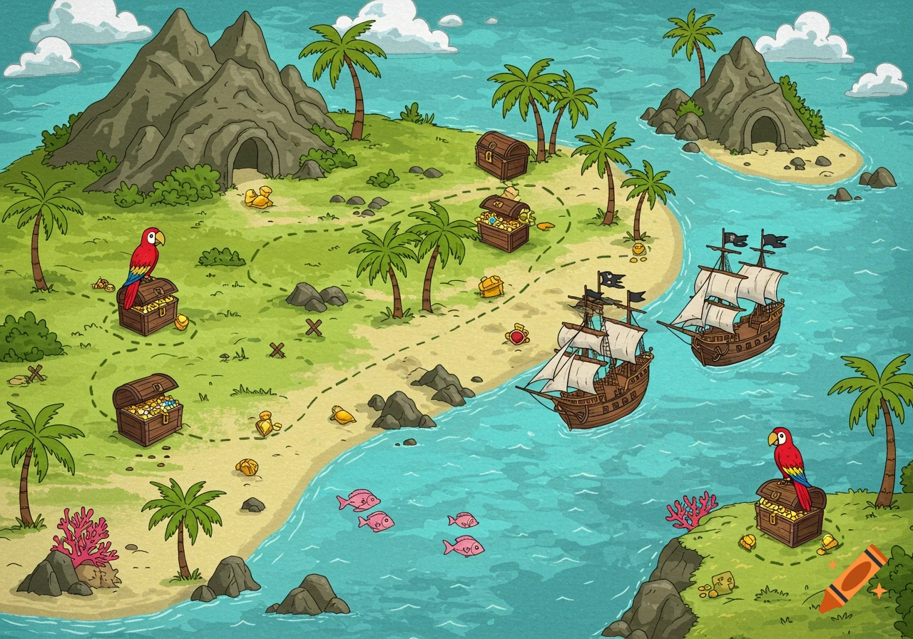
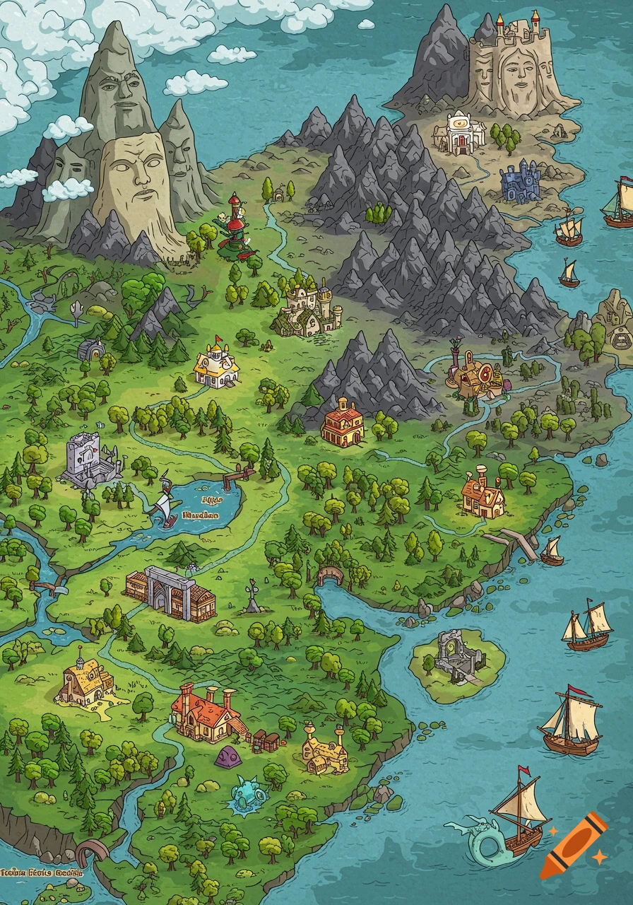
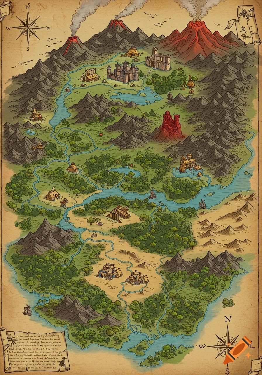
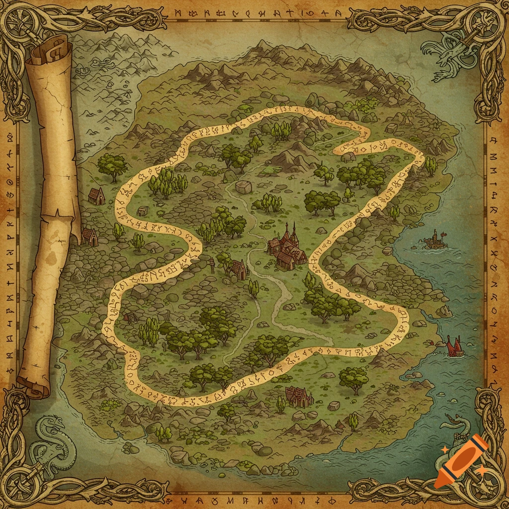
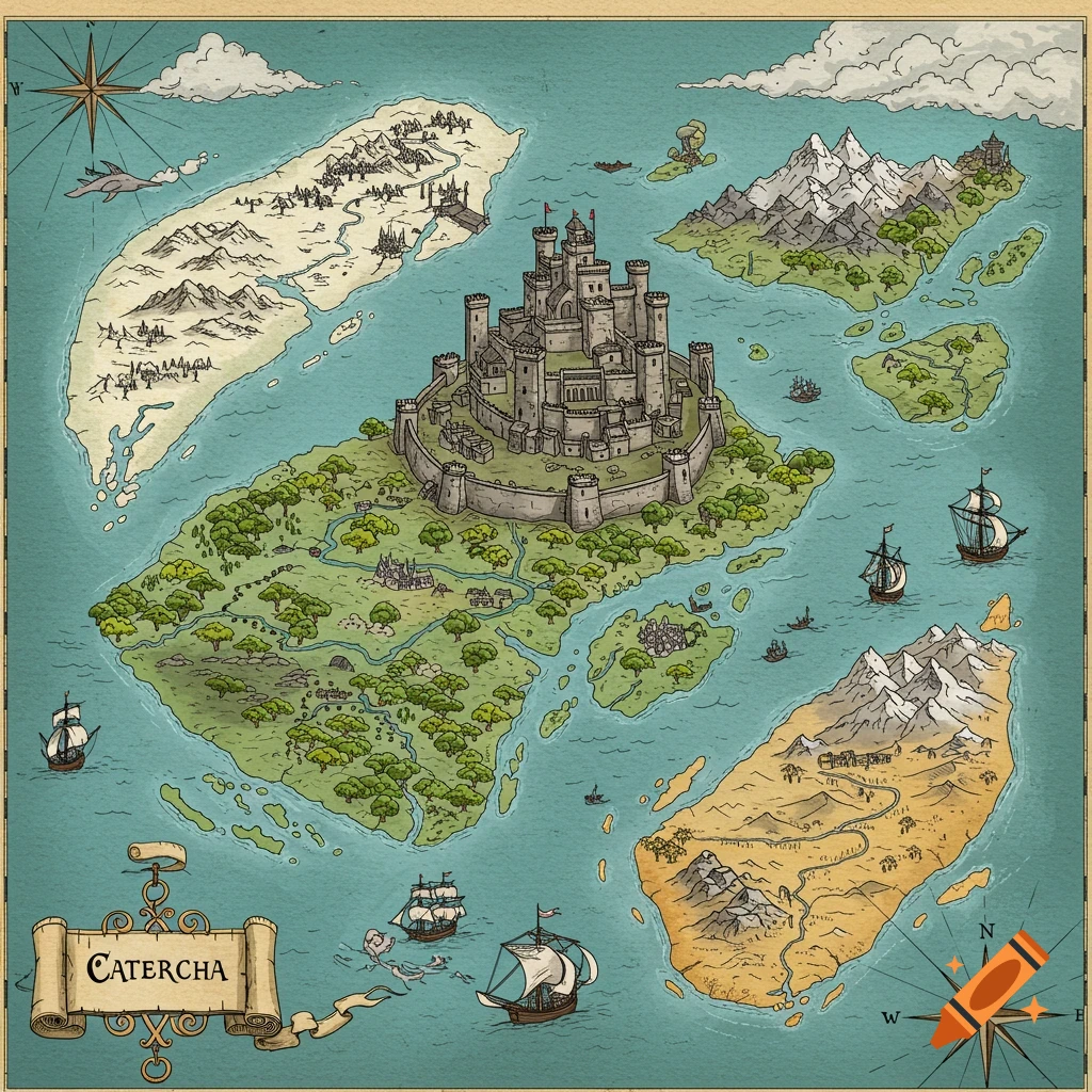
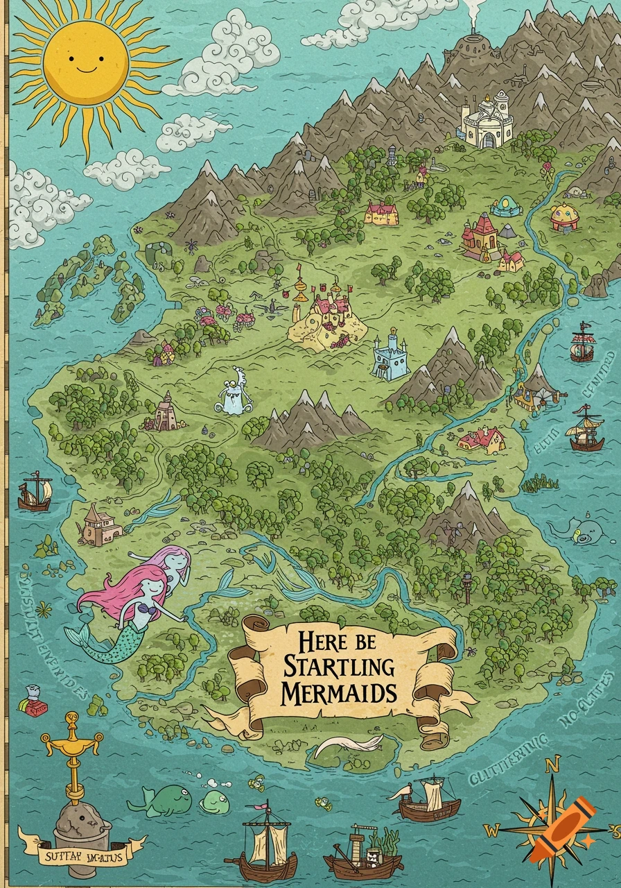
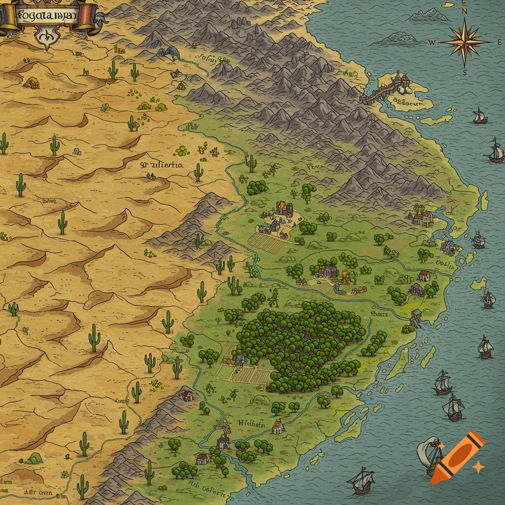
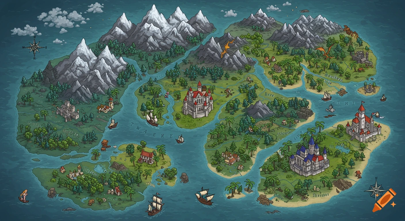
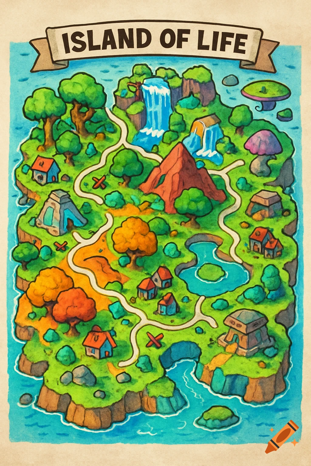
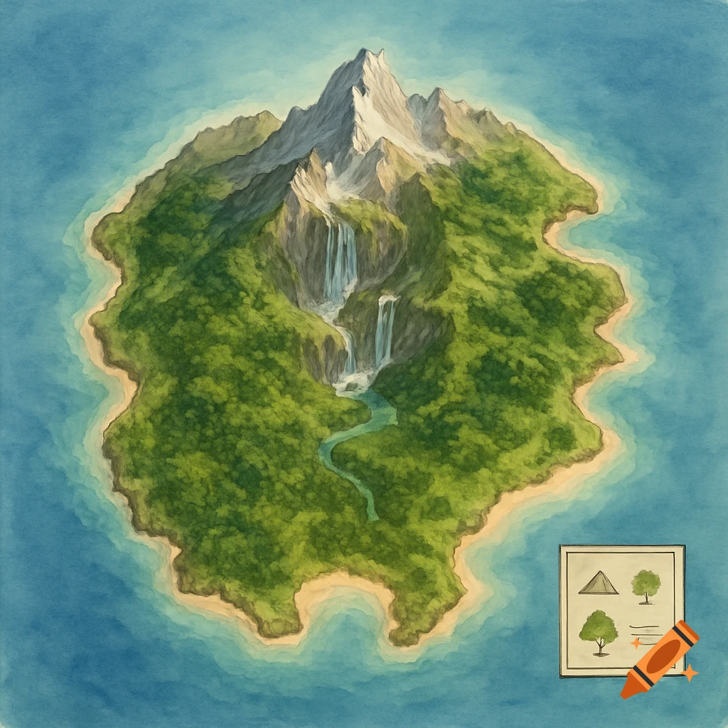
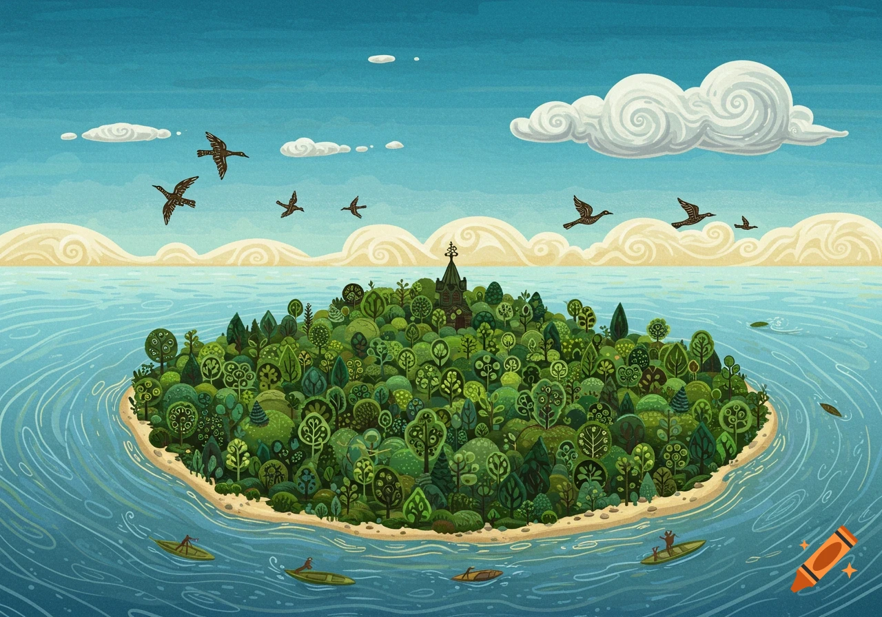
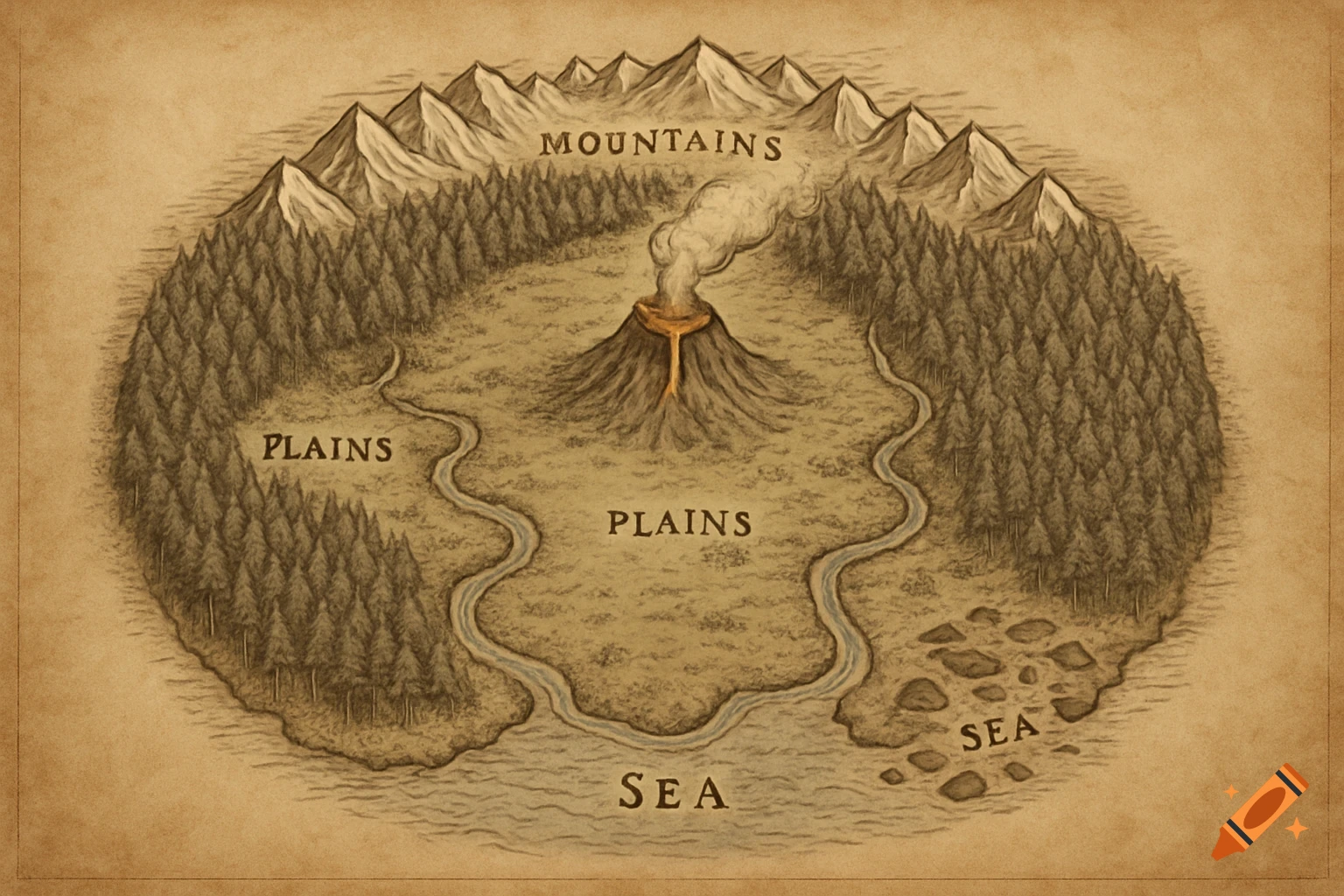
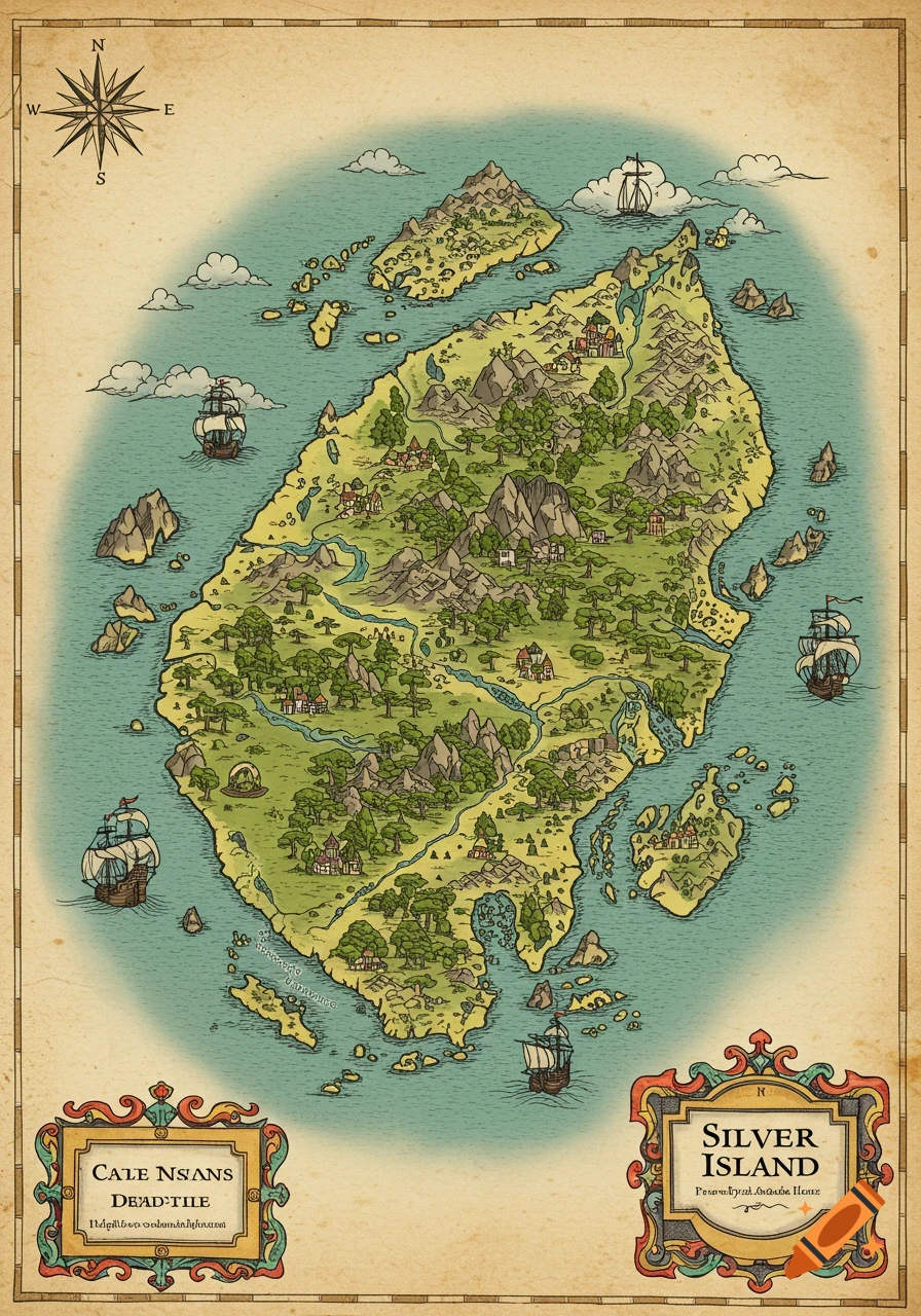
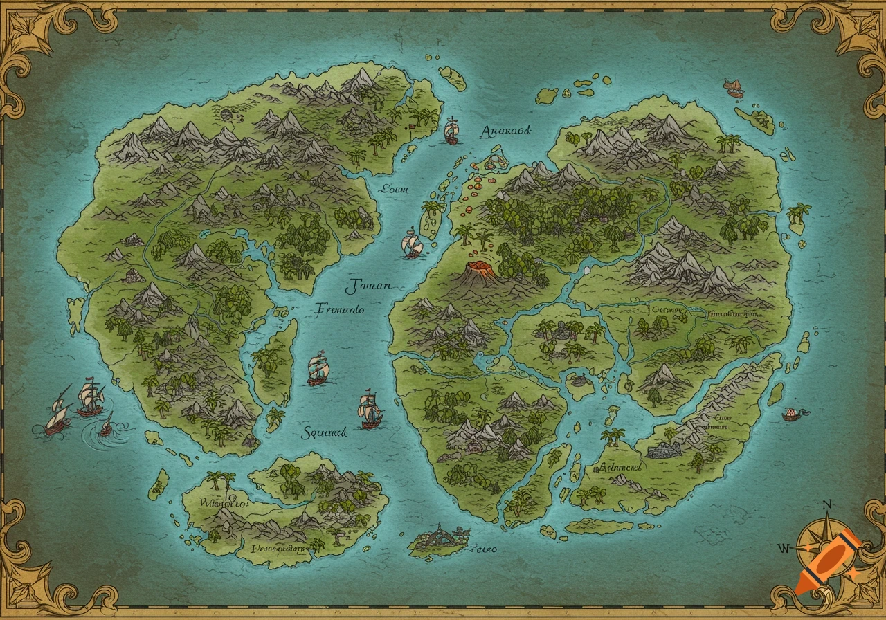
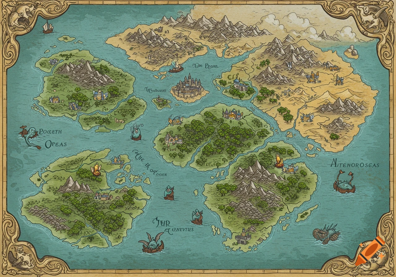
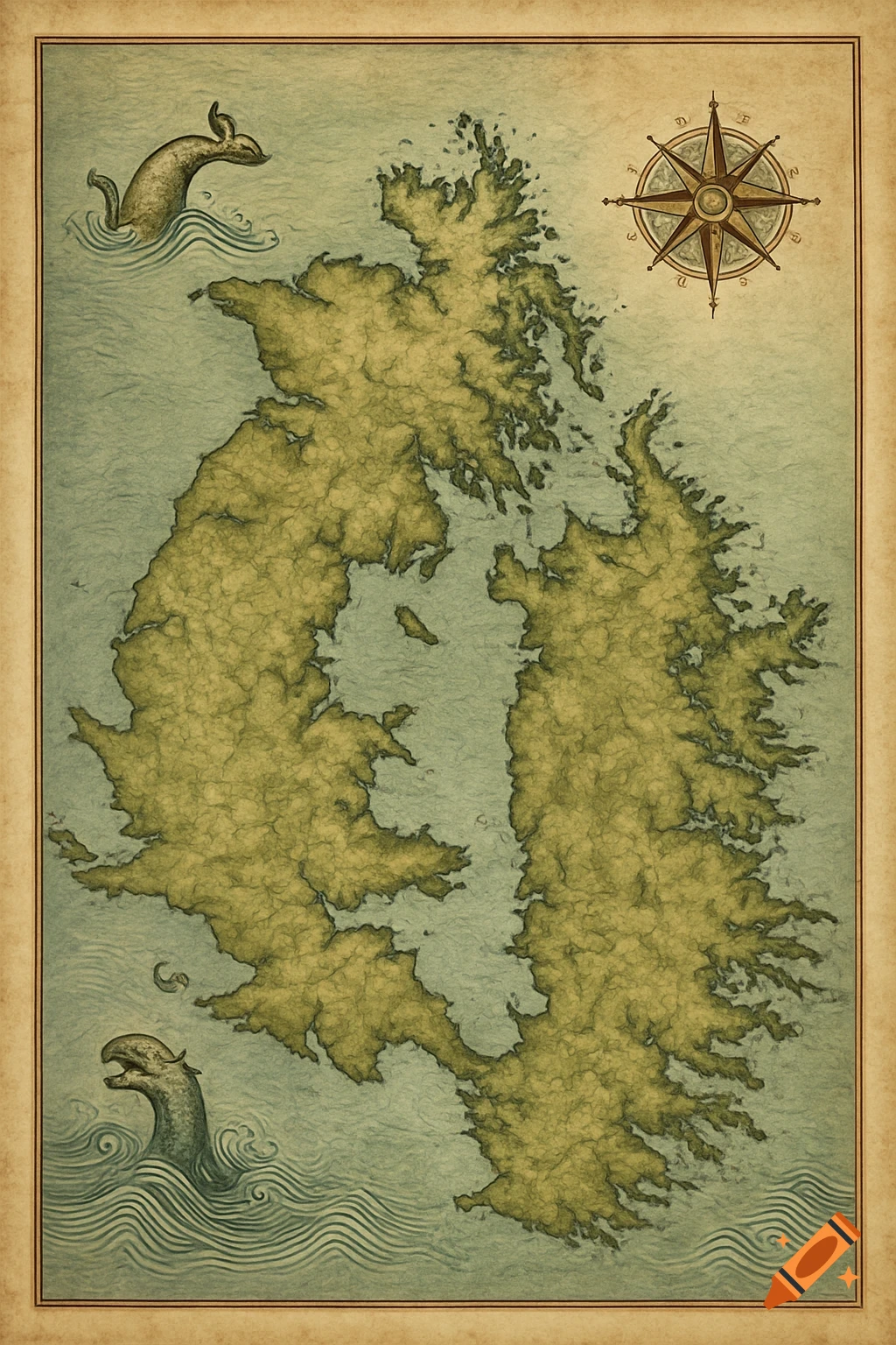
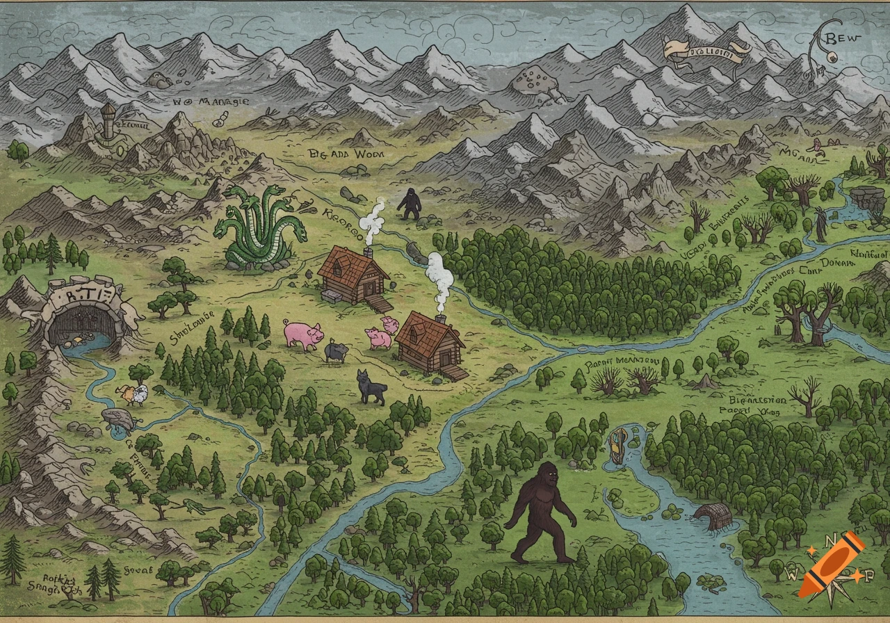
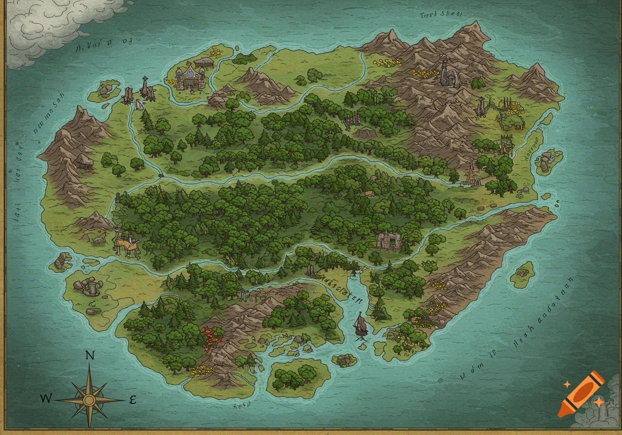
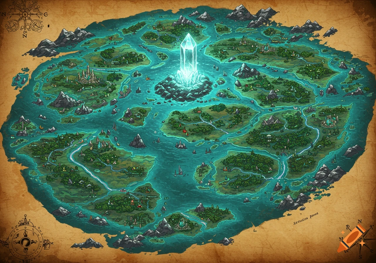
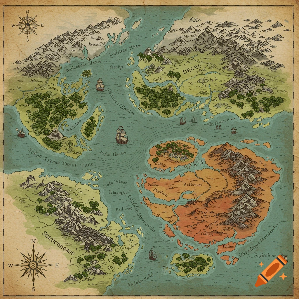
Cartoon style illustrated map of an island with a river, mountains, and sand dunes, labeled Isle of Cape Ruffle.

We landed on a samll ruffles circilur island off the east coast of the North Caroilina coloany. we laned on the southern coast line and found yellow sand beachs around the whole perimider of the island. sevral feet away in the land went from sand beaches to short costal forrest as far as the eye could see.thankfully not far from where we landed there was a freshwater stream that met the Atlantic Ocean in a samll marshy wet land we could see monutains and in the north and west beyond the forrest. we thought to fowallw the stream to where it most likely started in thoses Mountians.we follwed the stream North until it strard to curve east toweard the sand dunes. we found it strange to see thses sand dune bewtween the stream and the forrets but folalwed it anywasy. as the water curved west towrad the montains we noteiced 3 Montains tops that stood with grass covers hills all arond them the stream contued though the hills our legs were soon to tired to with the incle hills at the base of the closet montain to the stream we found a Cave. ok so draw this cartoon stly and falt so i can see it all not real and falt See more
More images like this