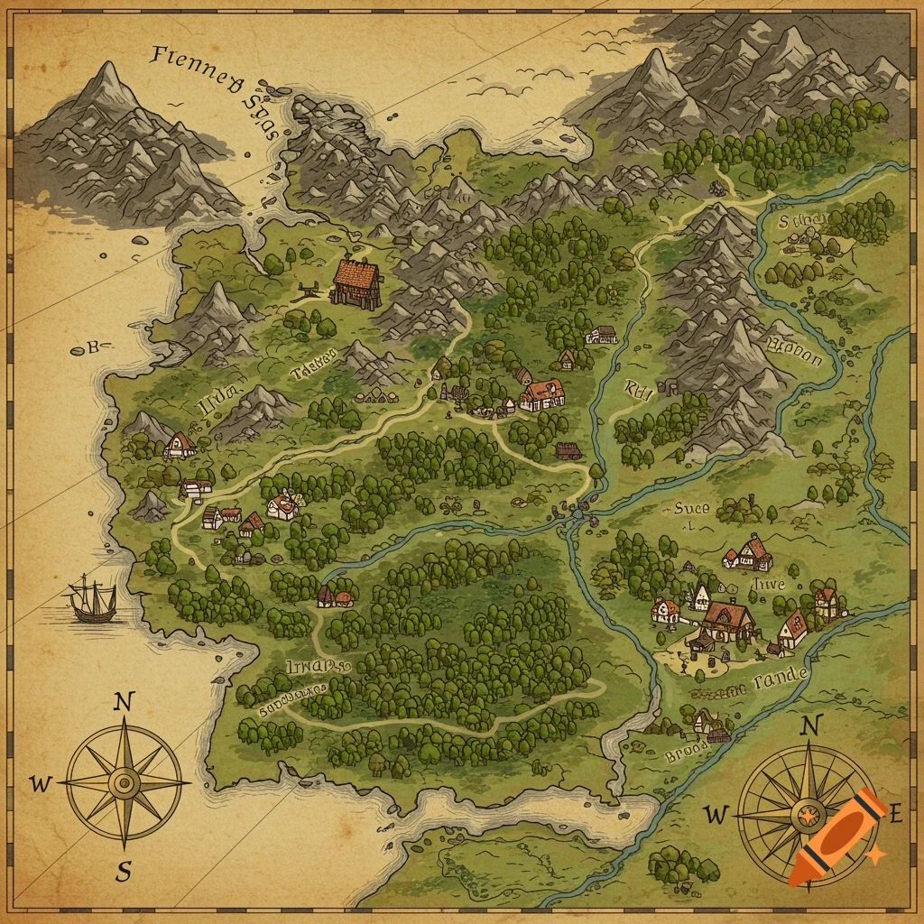
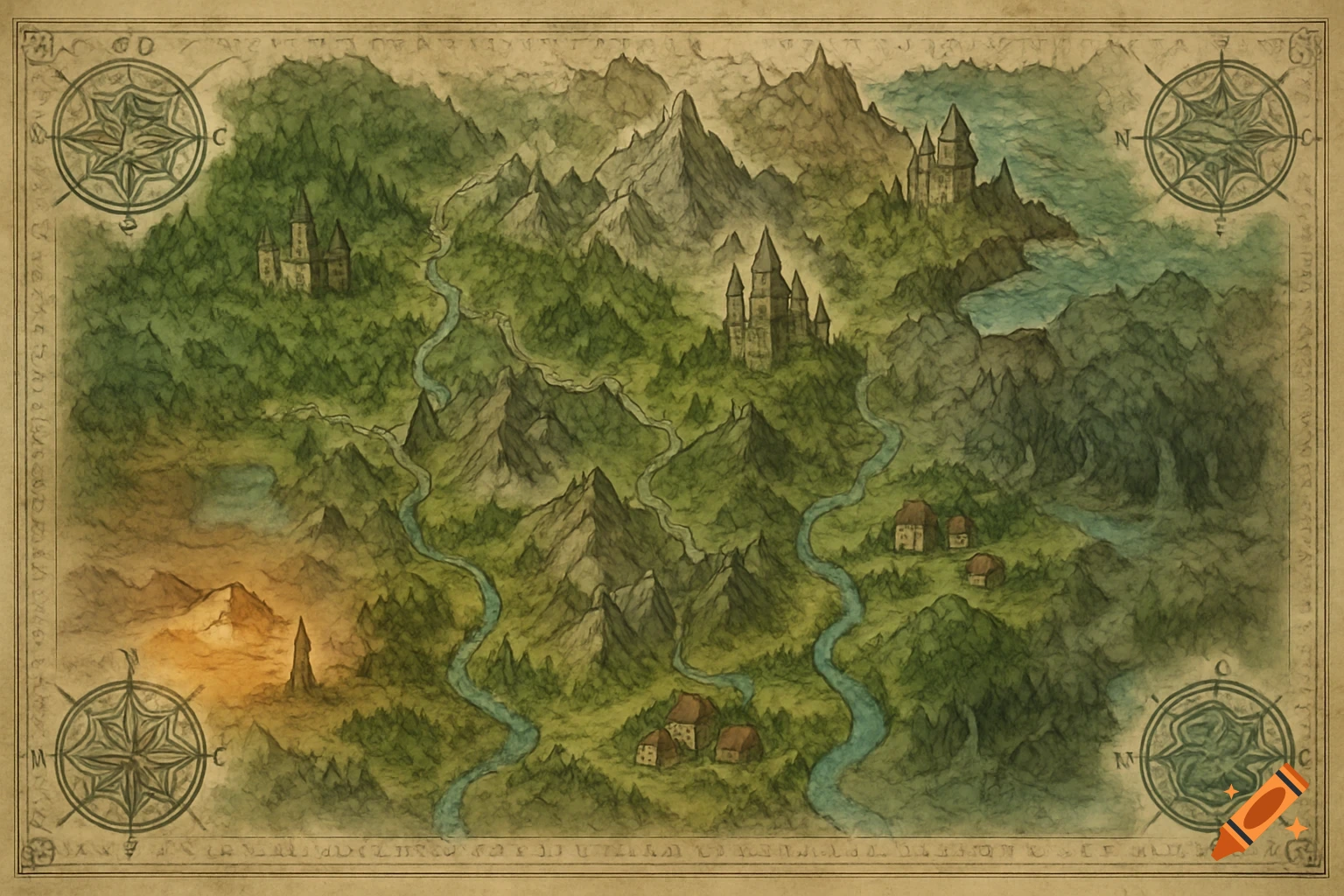
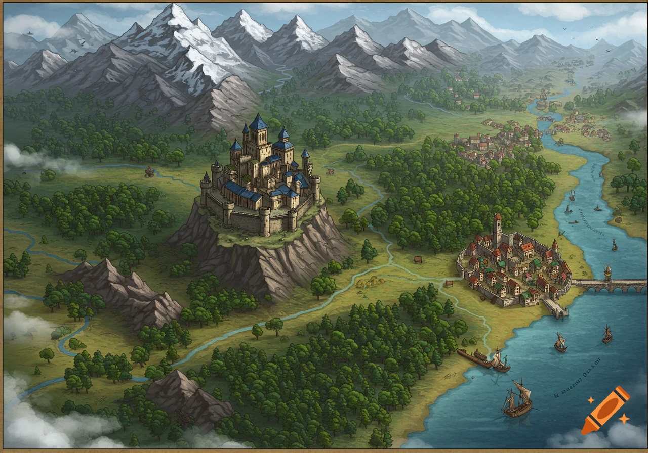
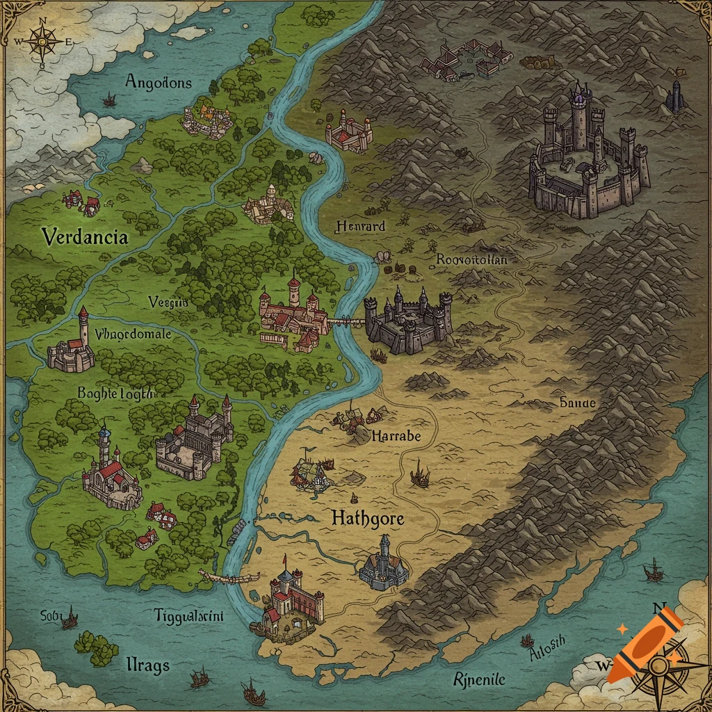
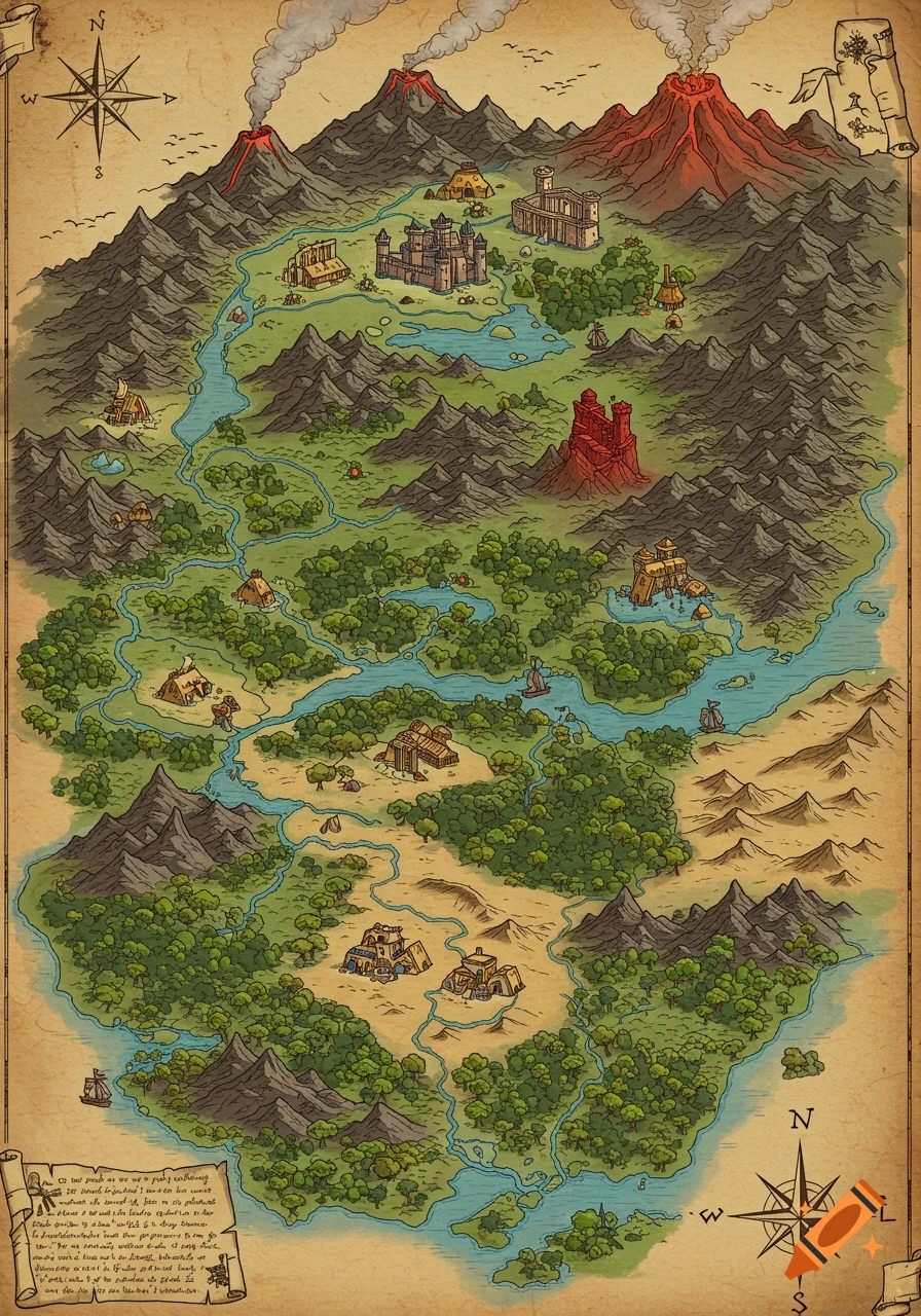
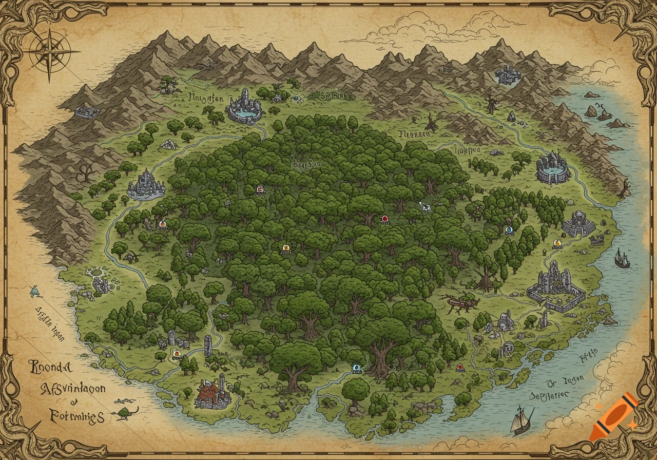
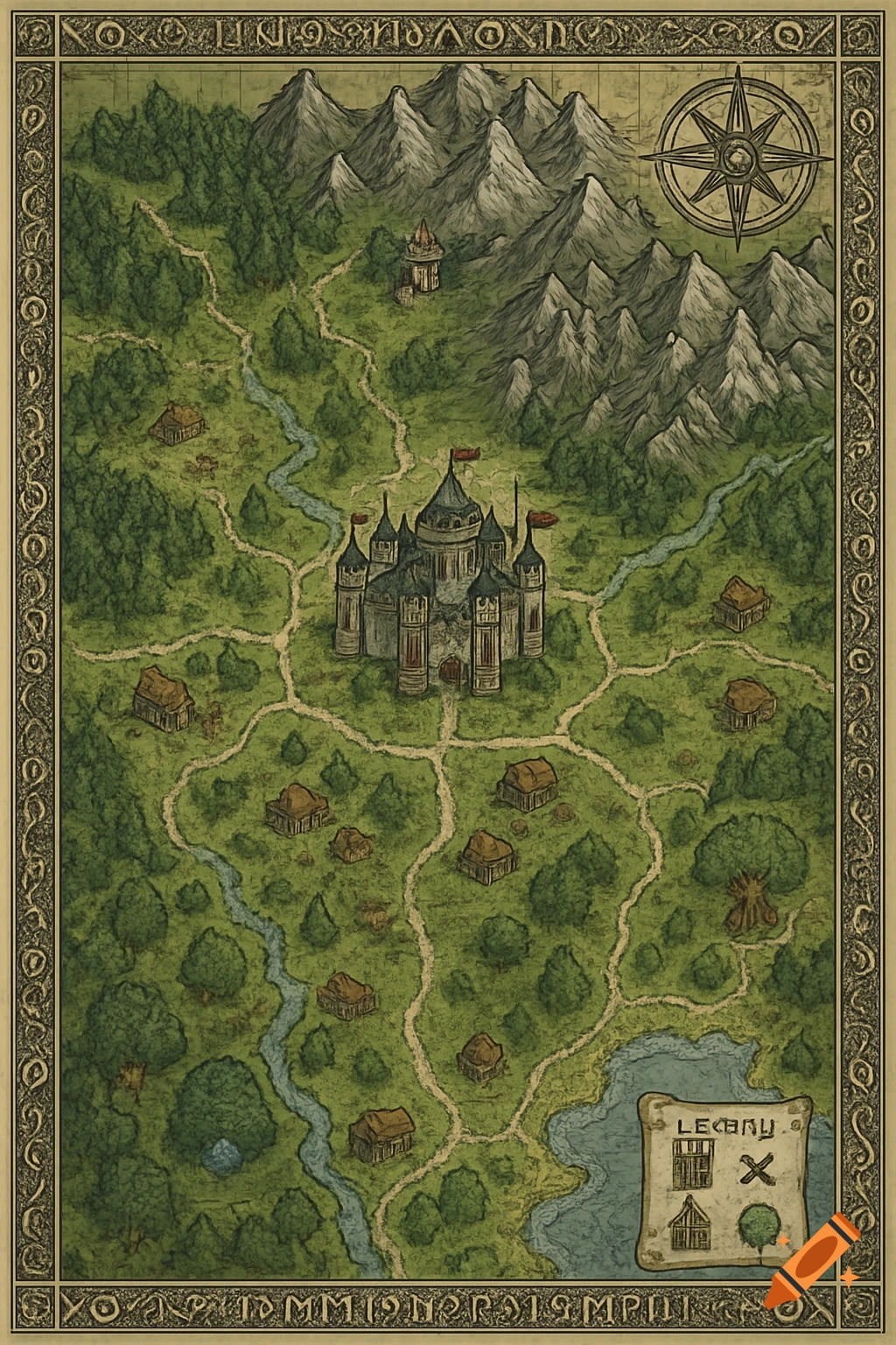
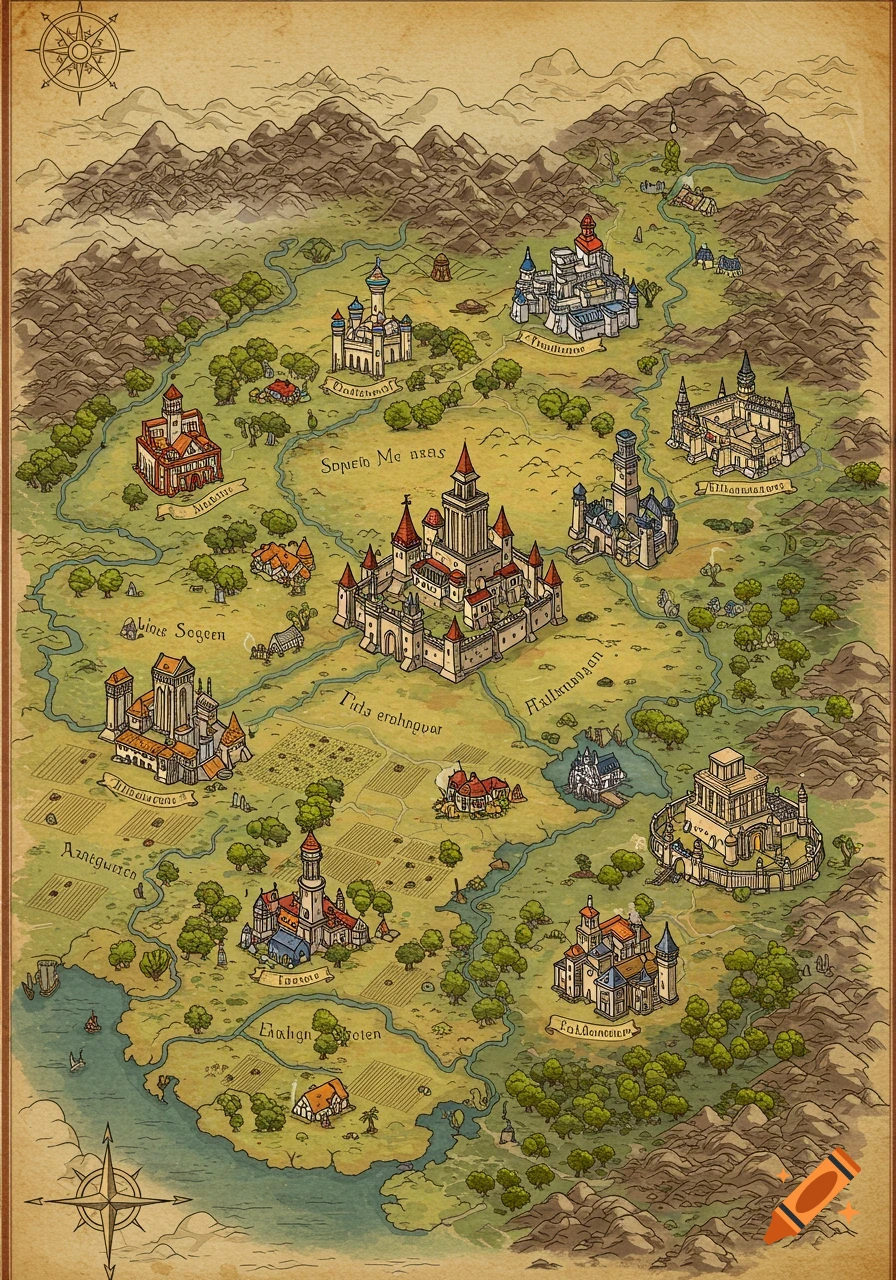
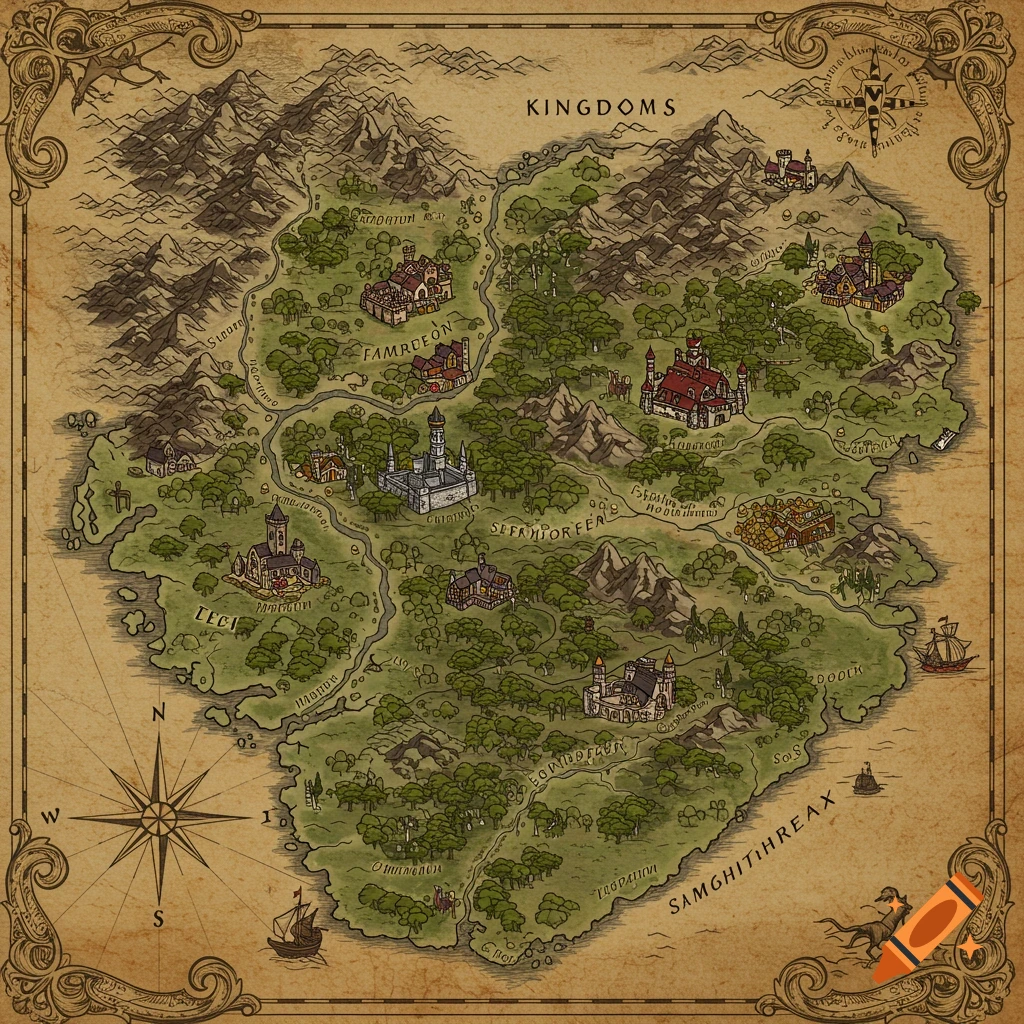
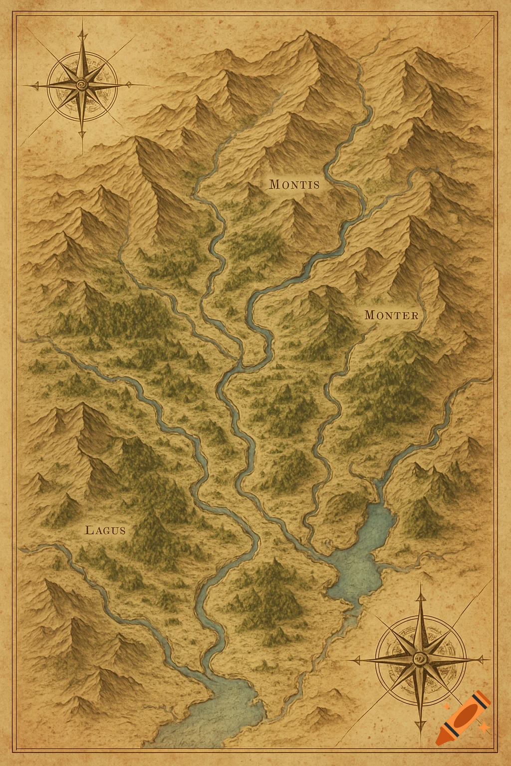
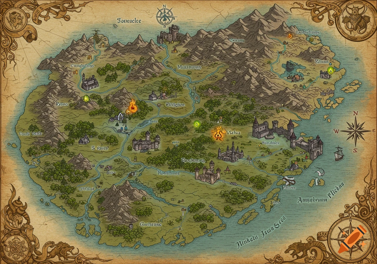
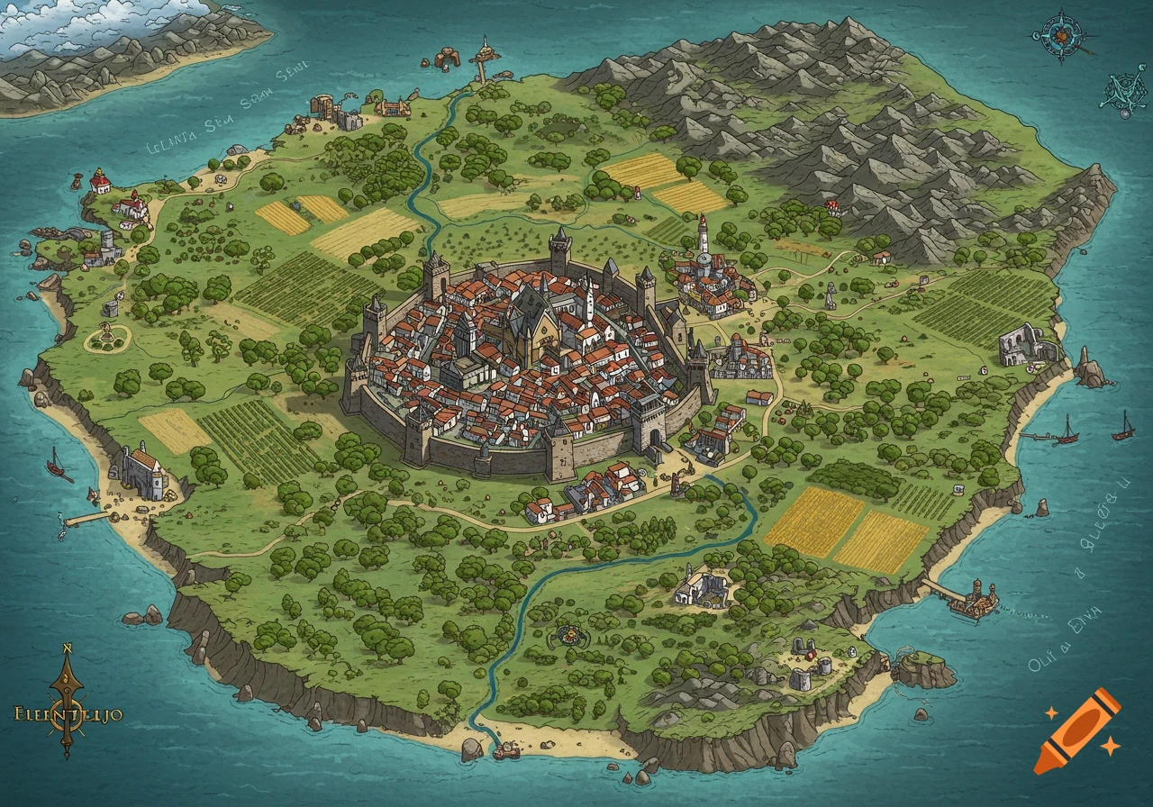
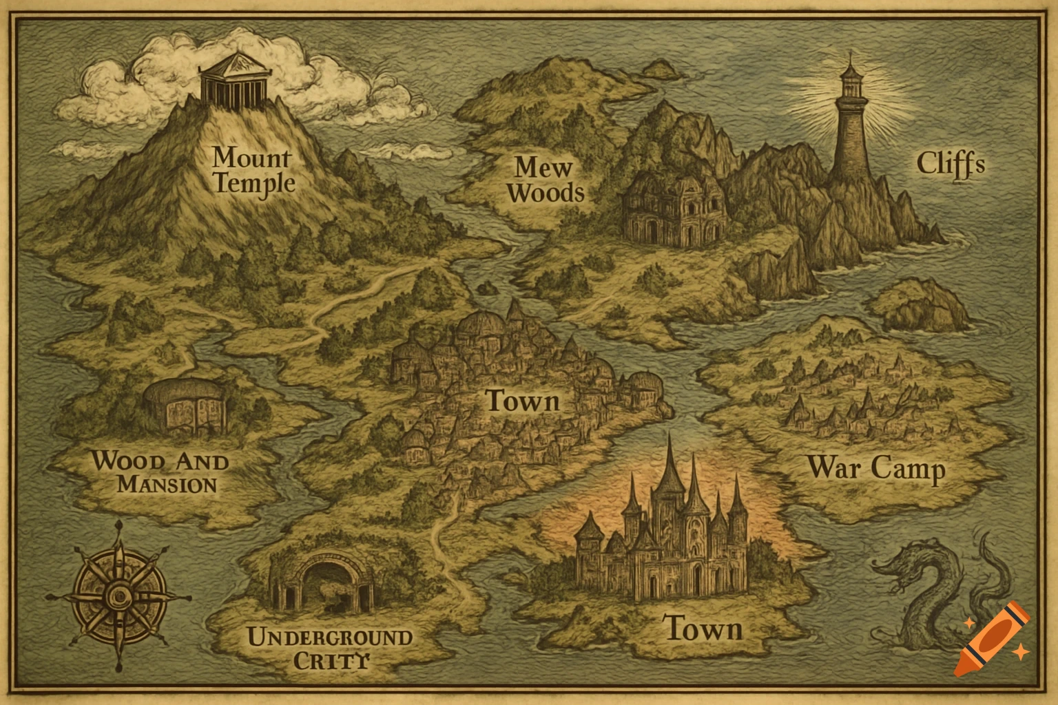
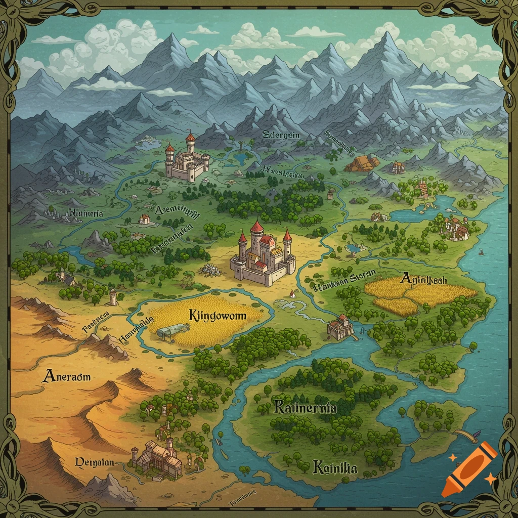
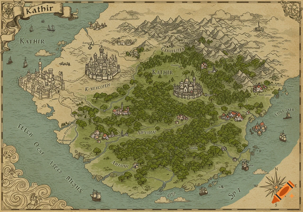
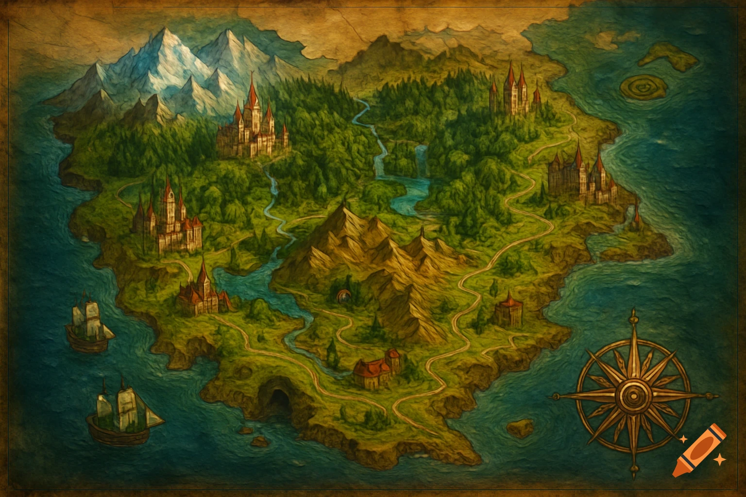
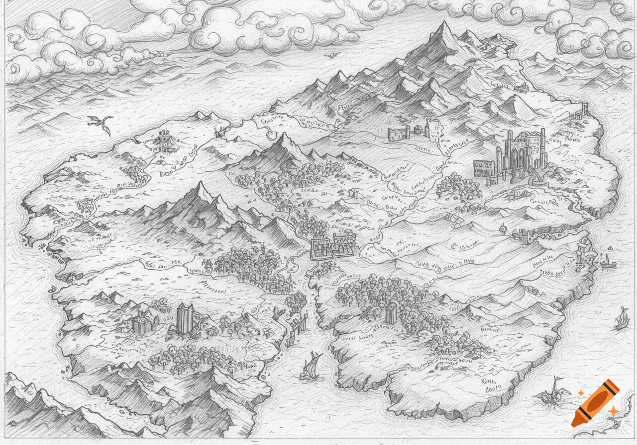
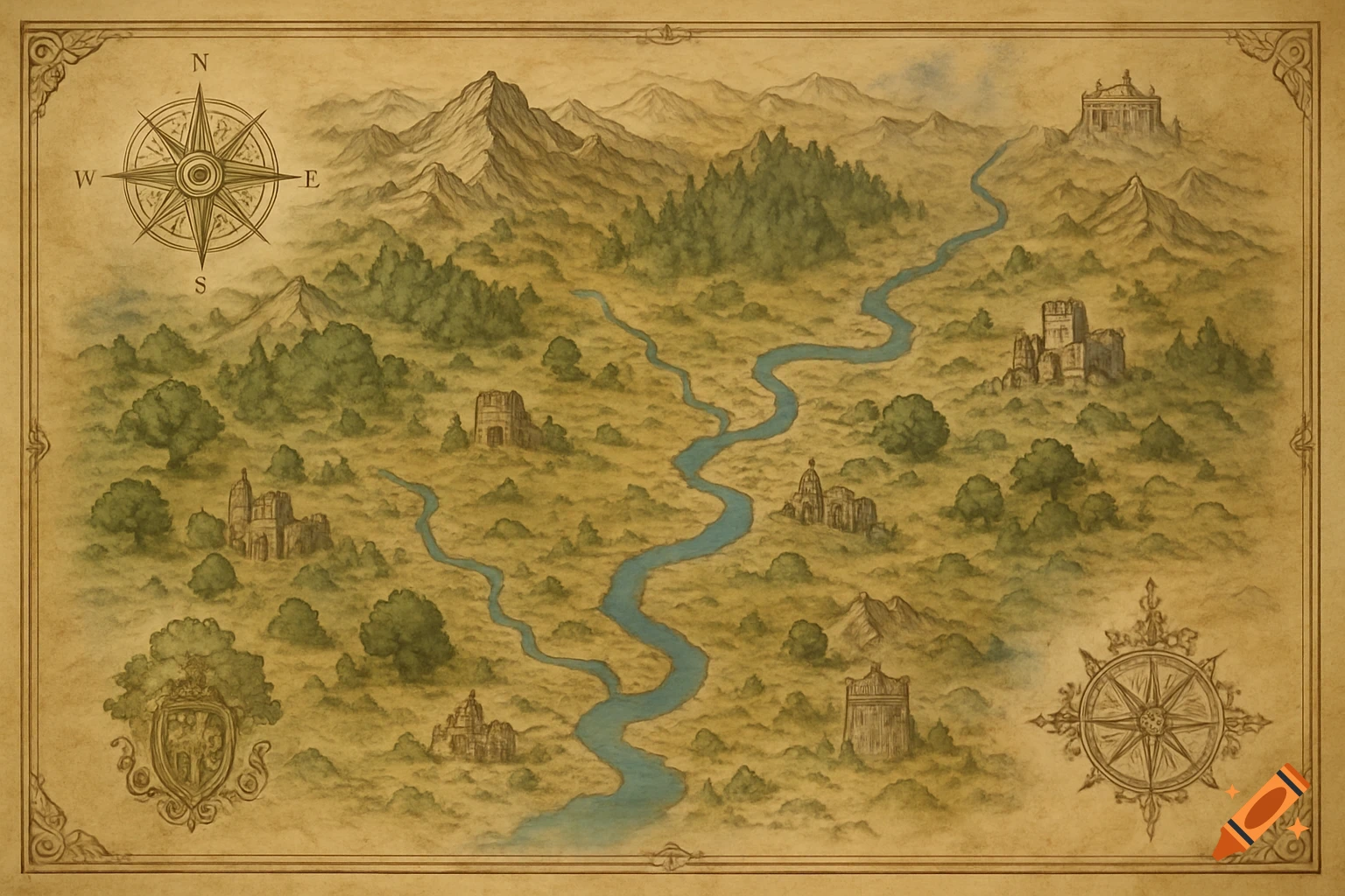
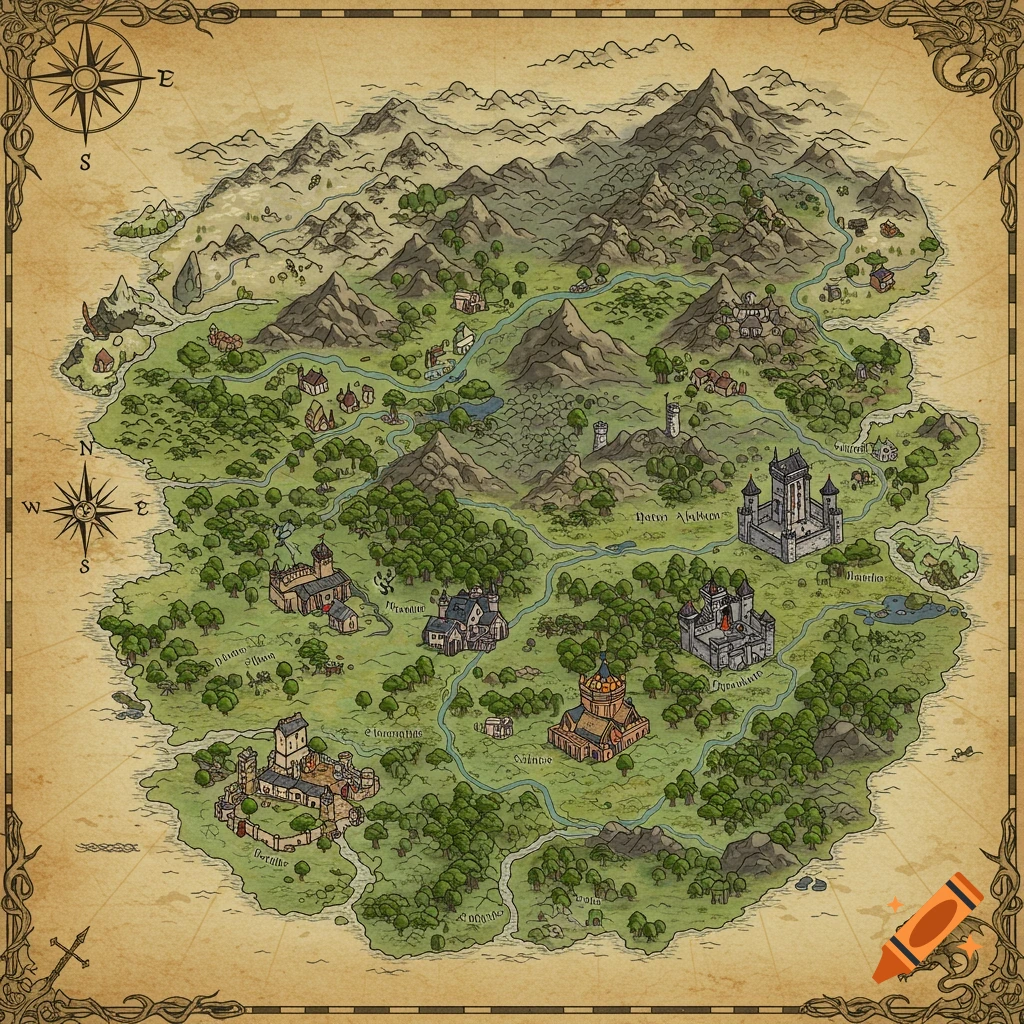
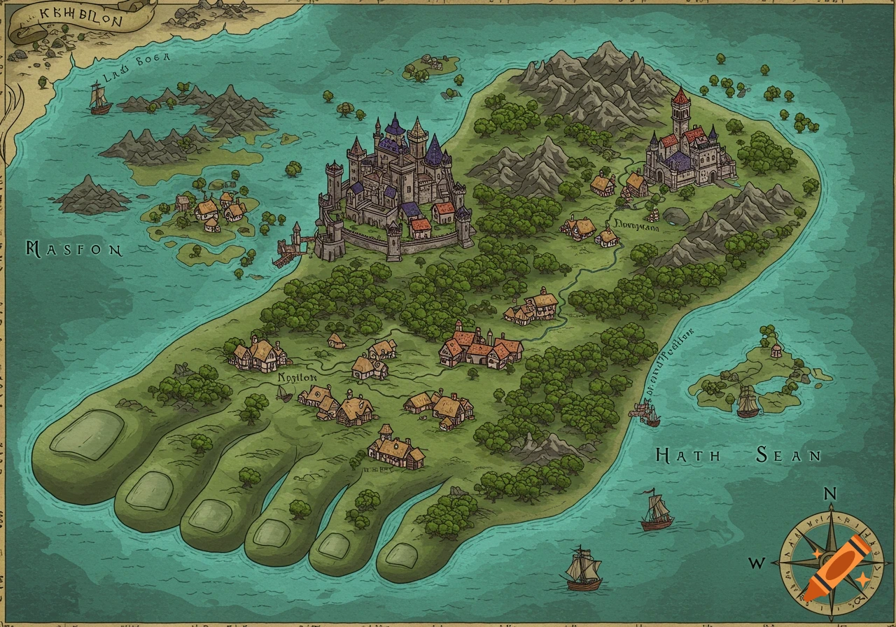
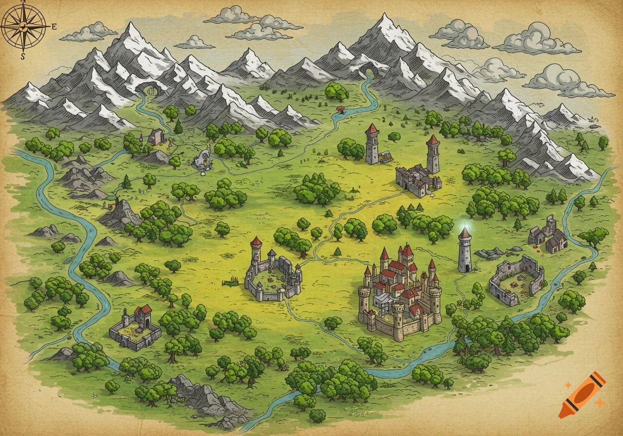
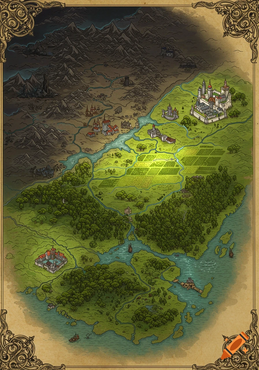
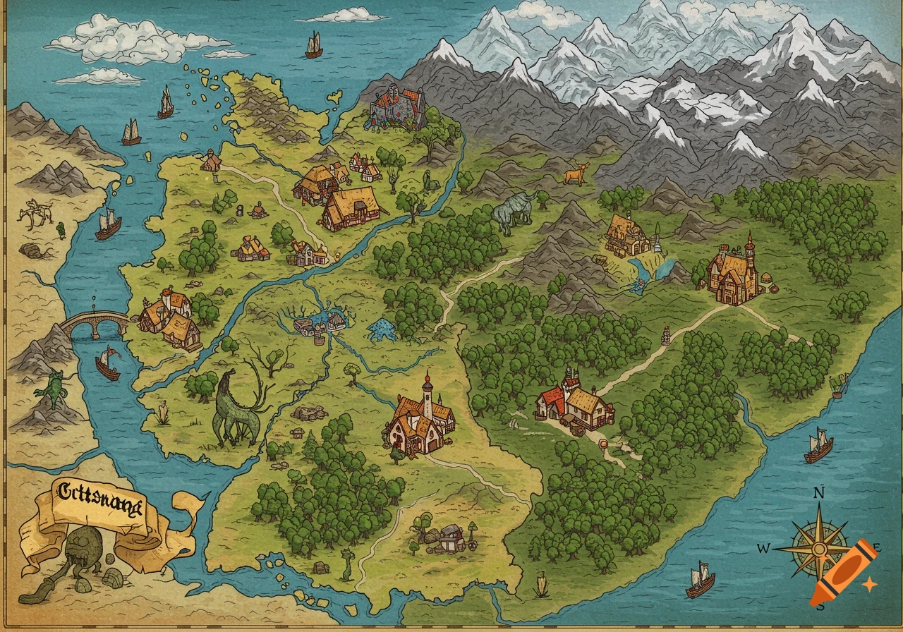
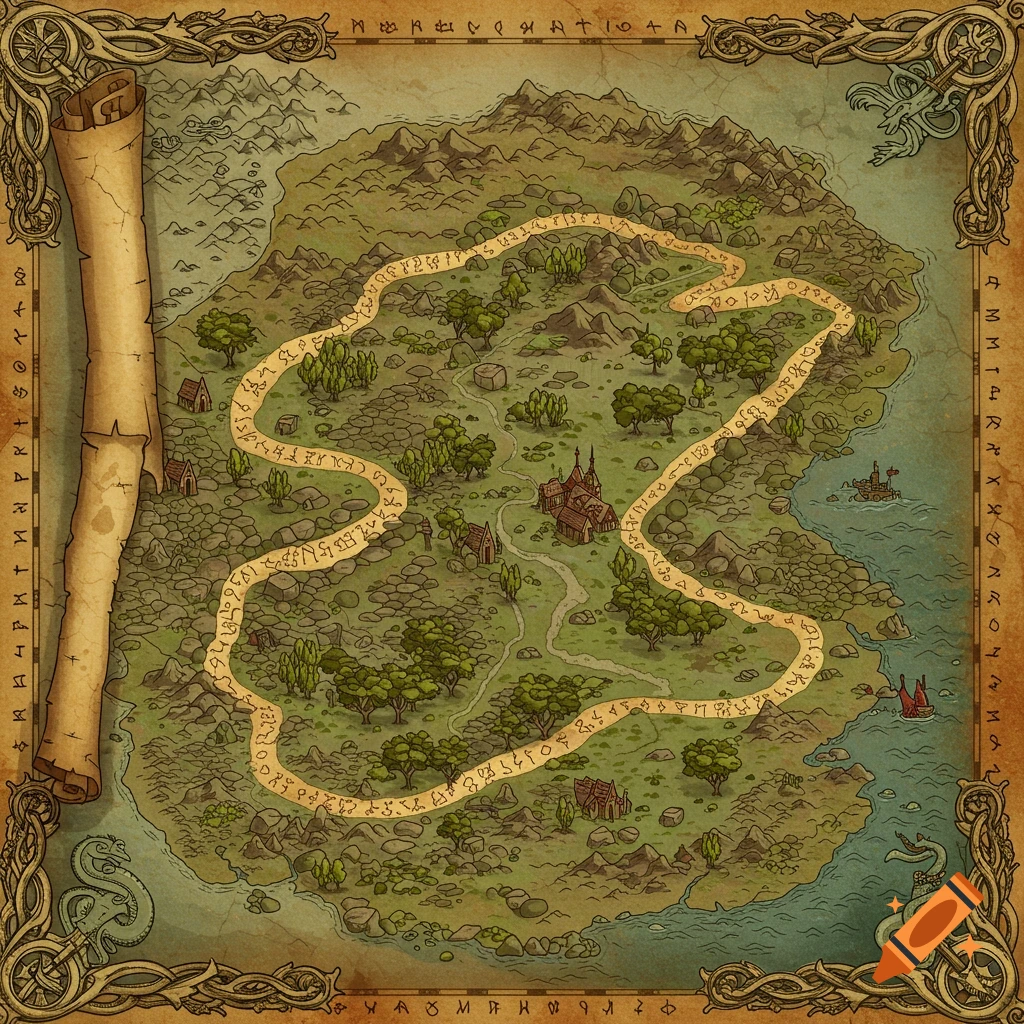
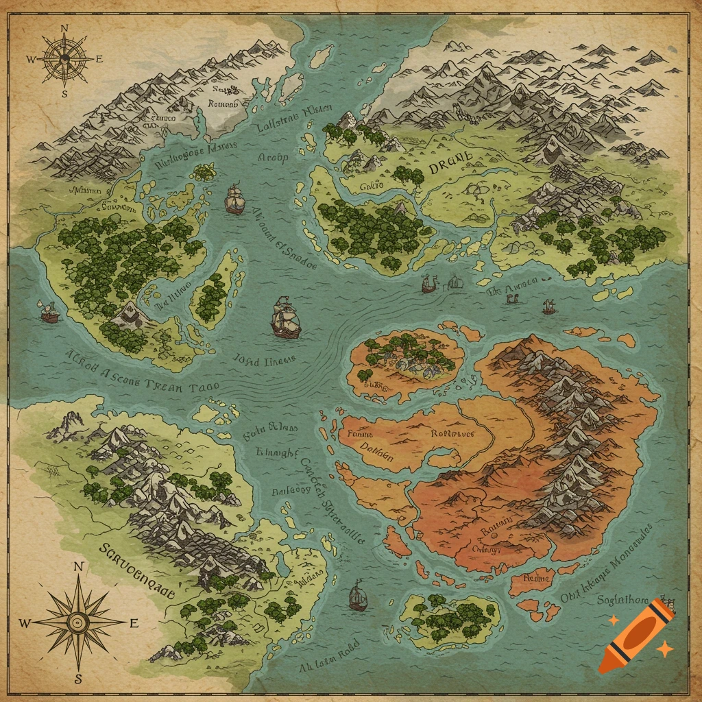
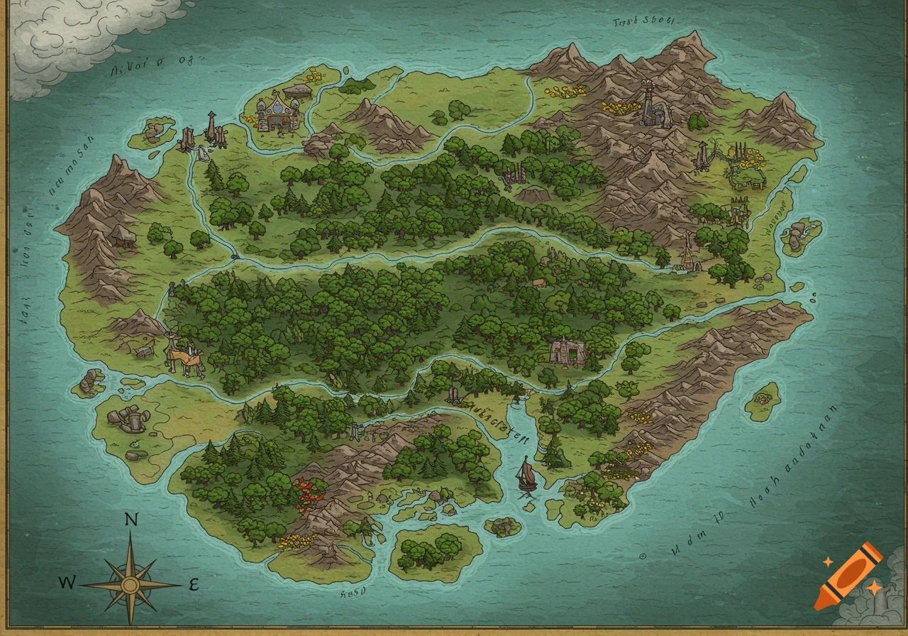
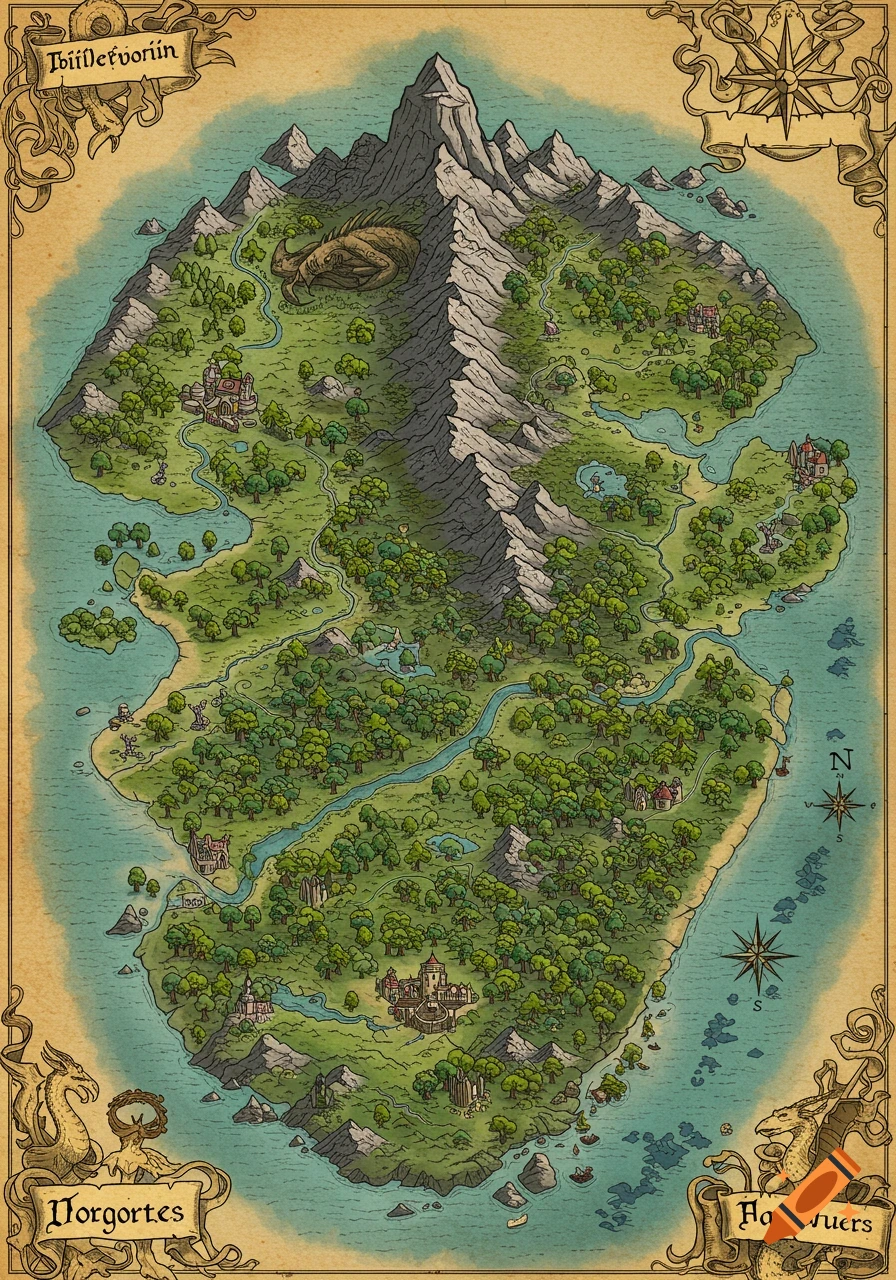
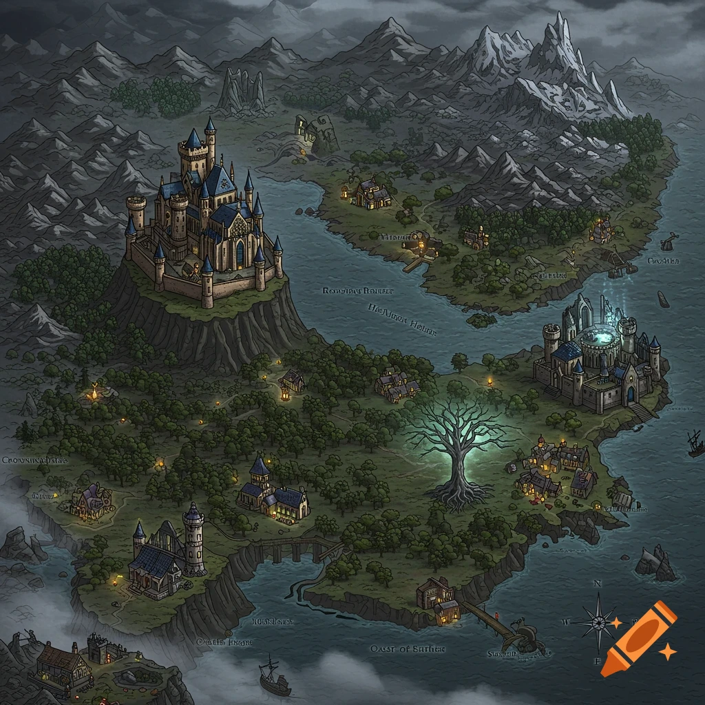
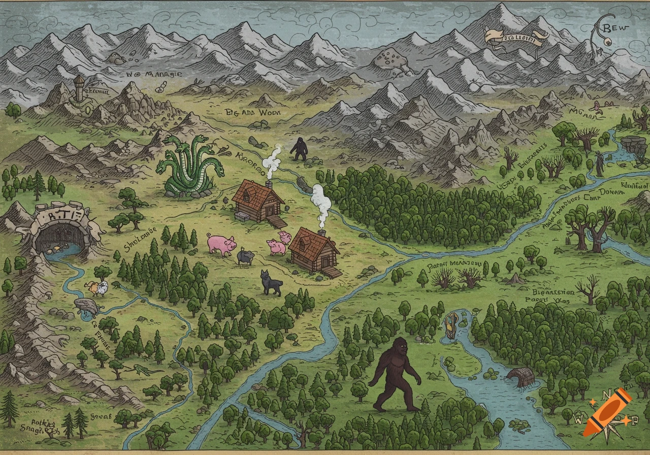
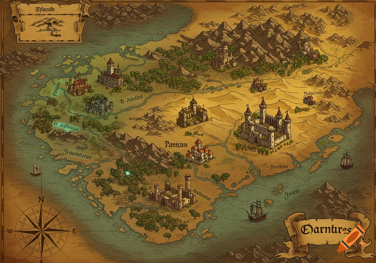
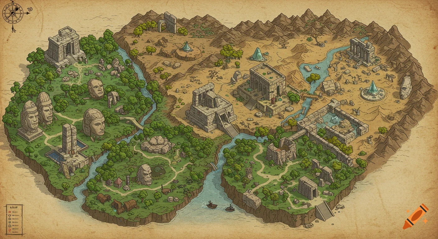
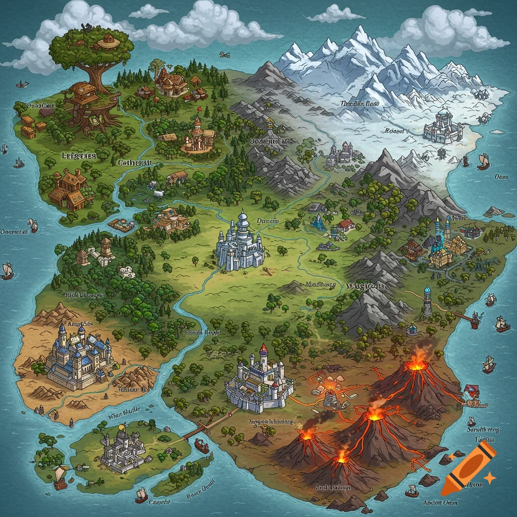
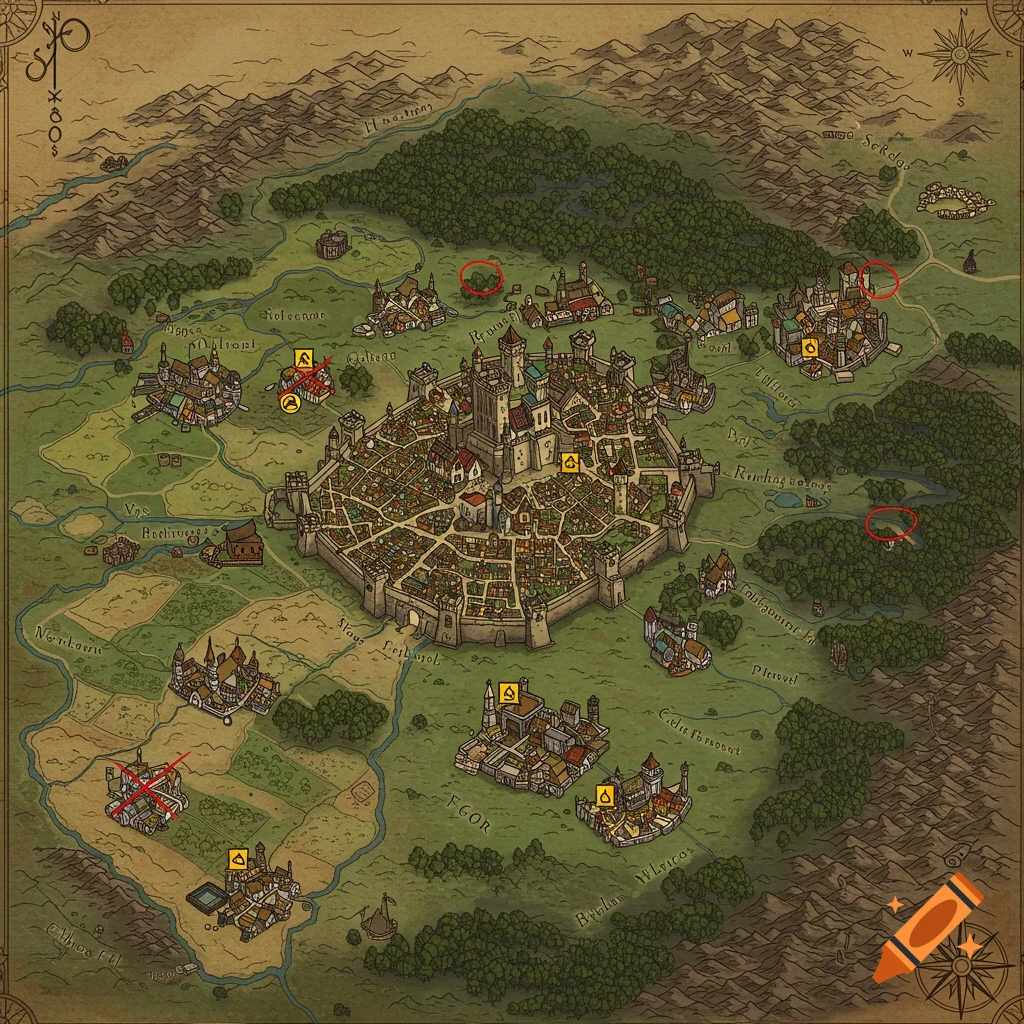
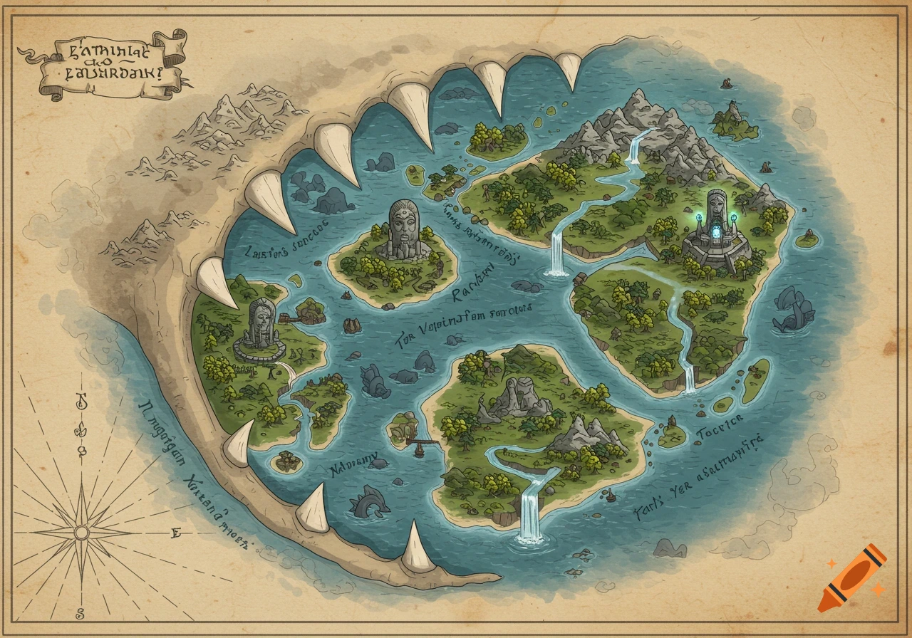
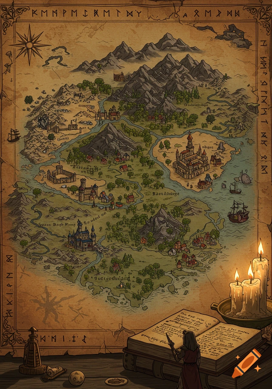
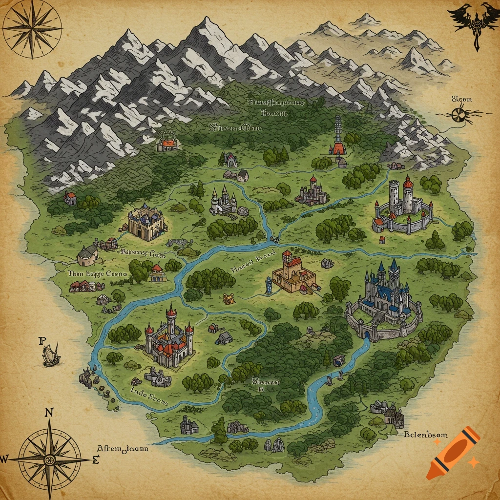
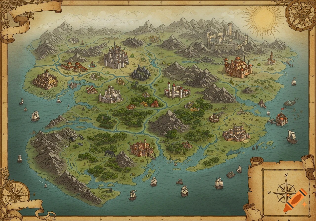
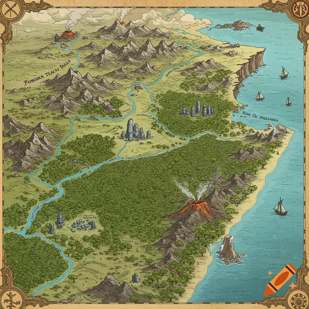
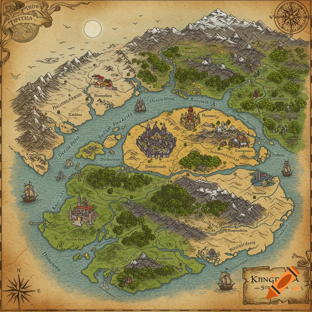
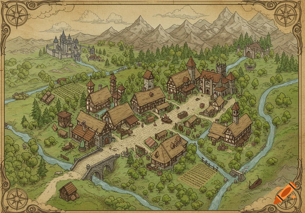
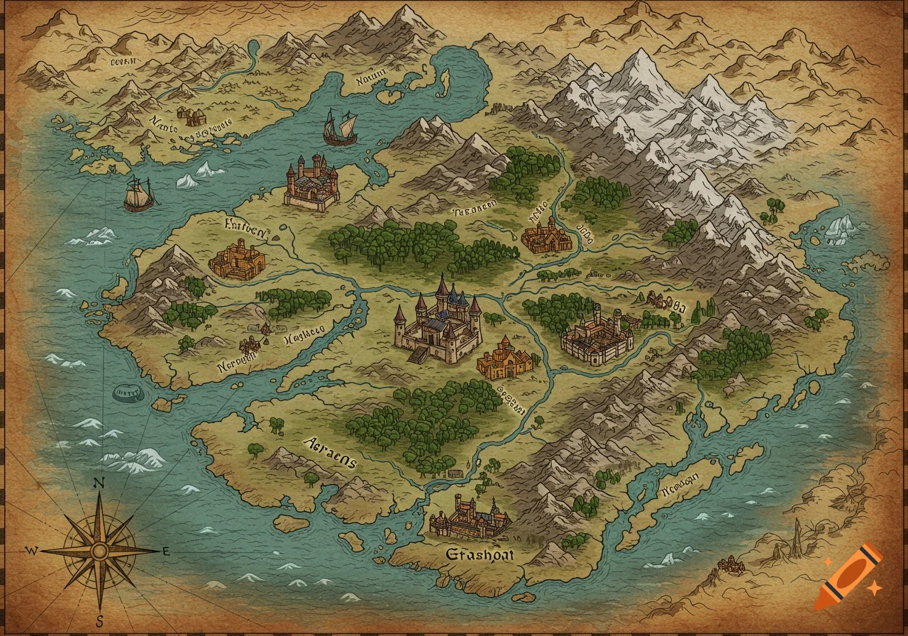
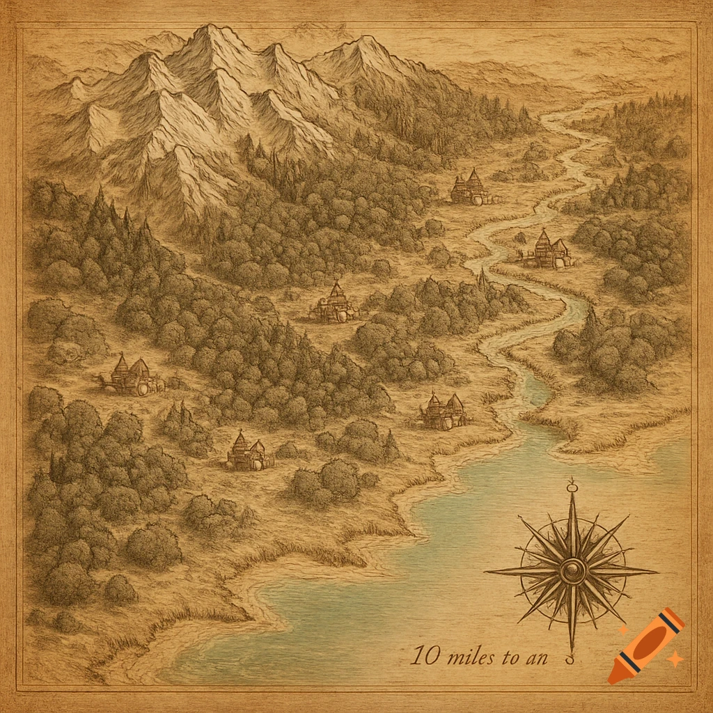
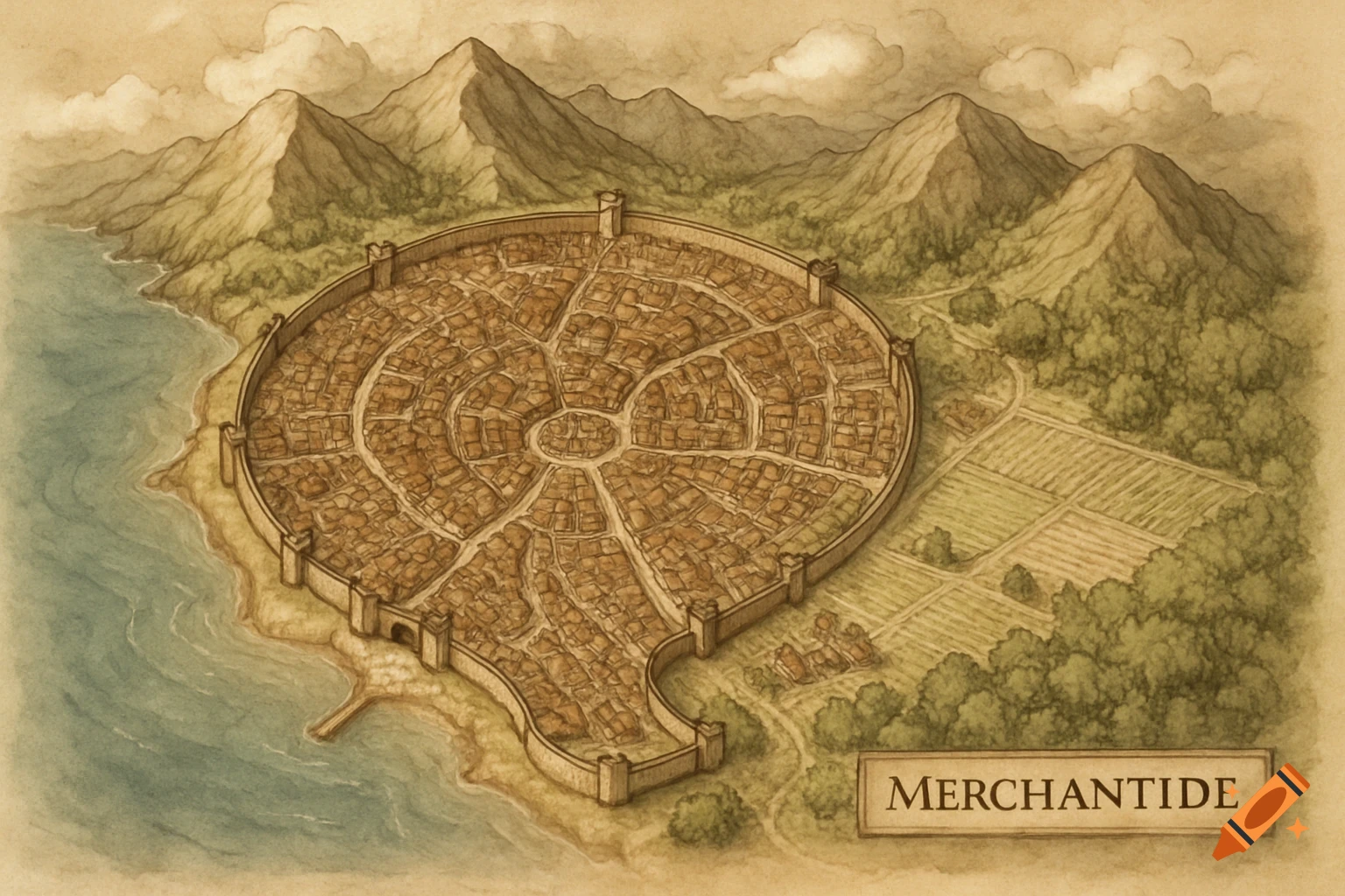
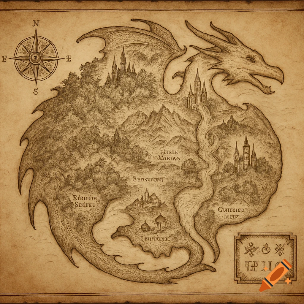
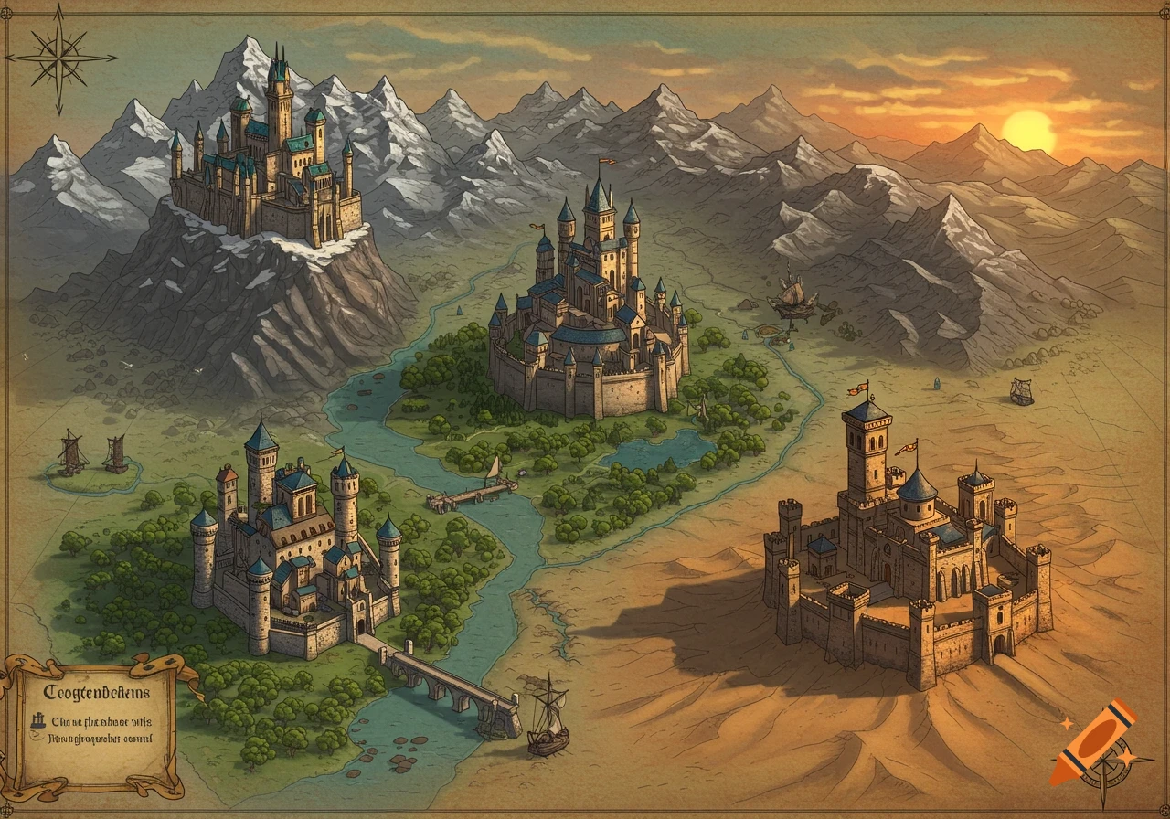
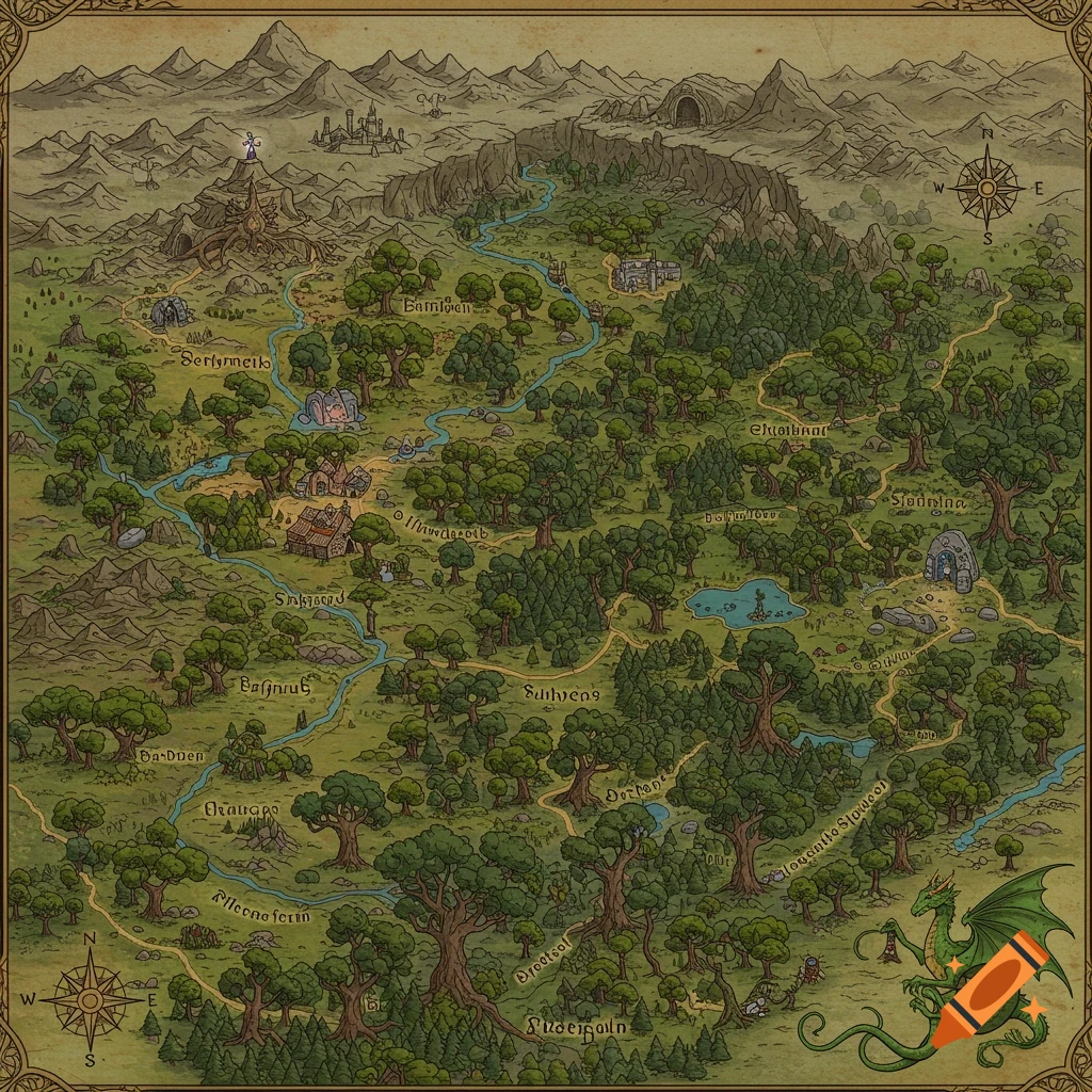
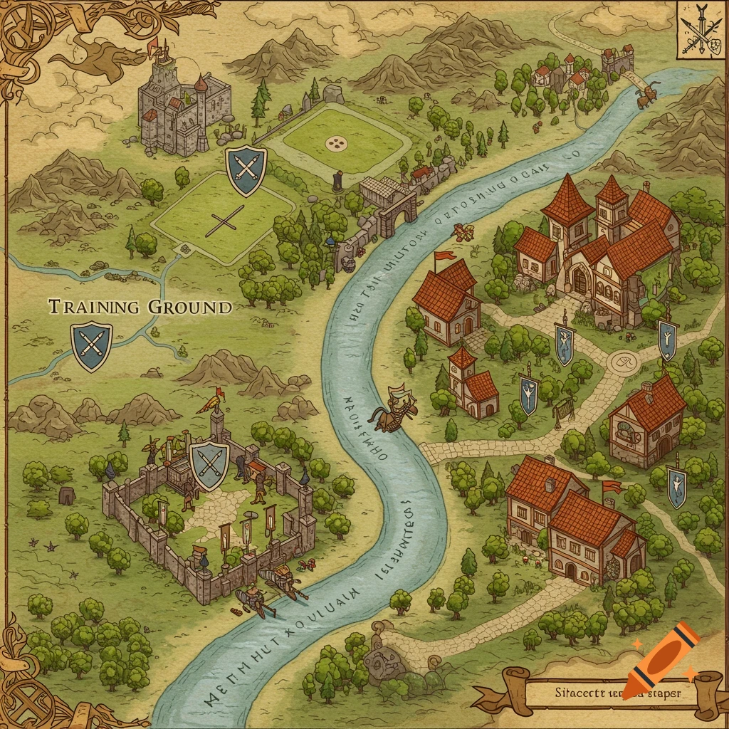
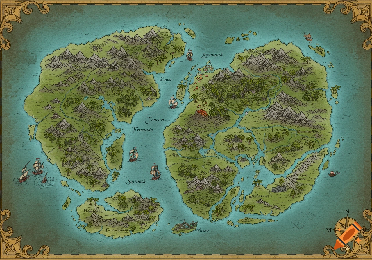
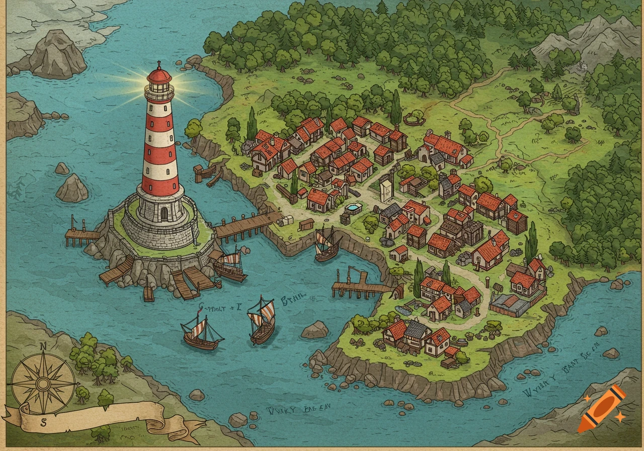
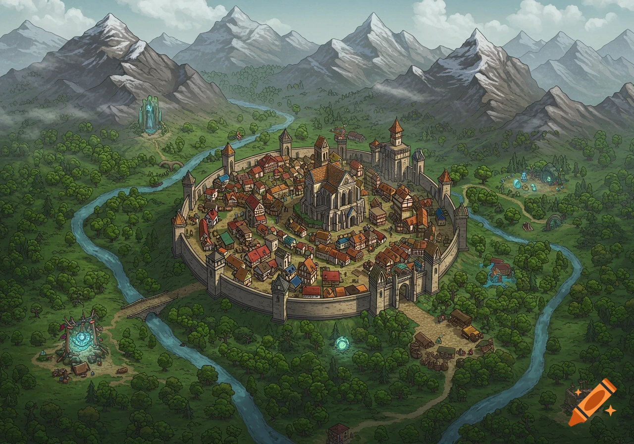
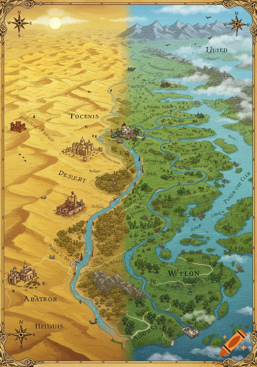
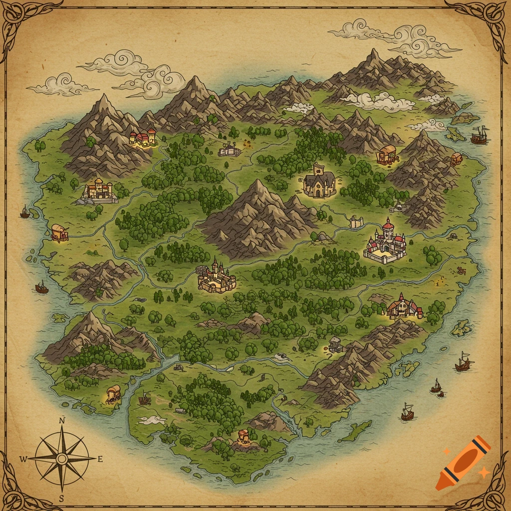
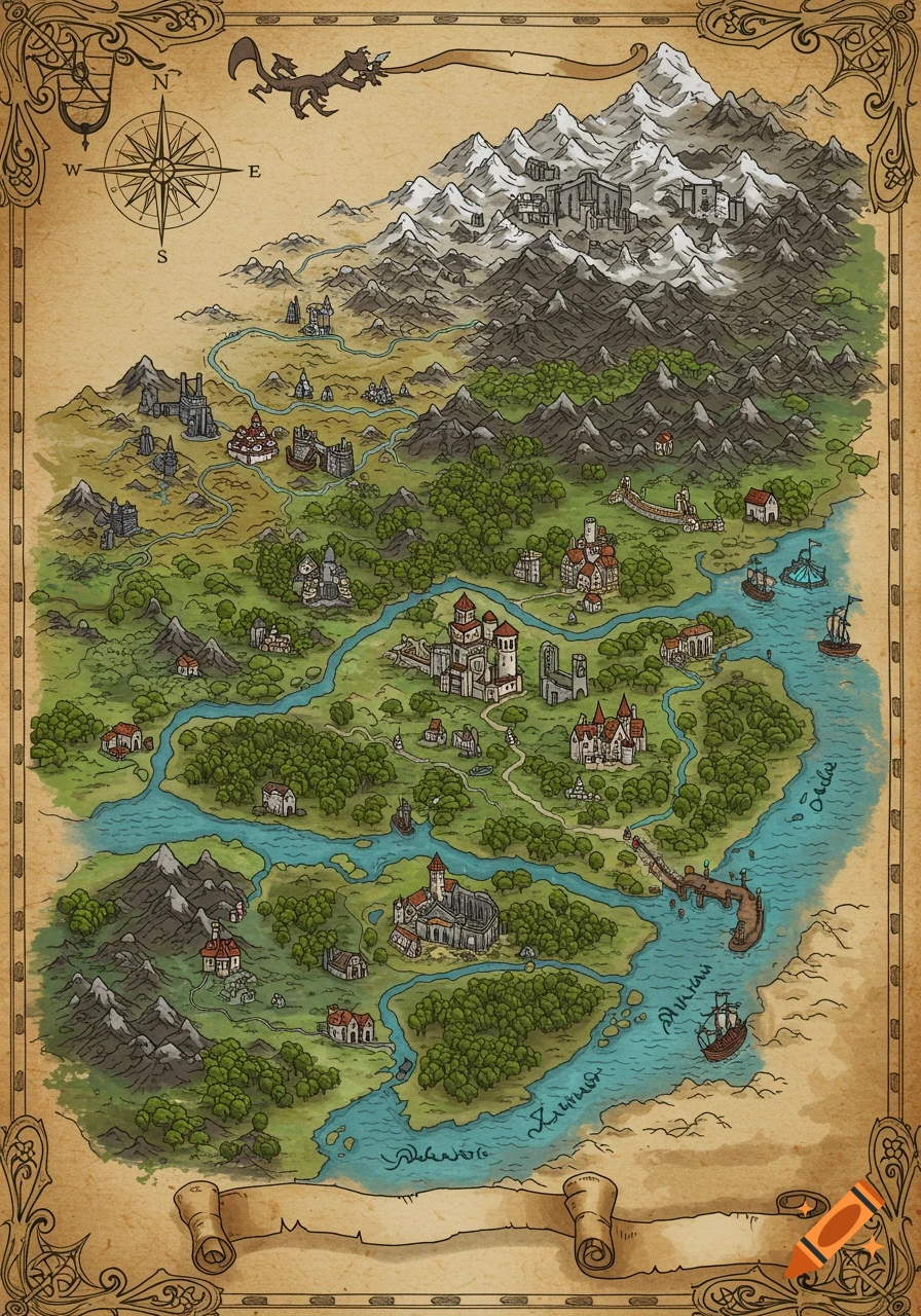
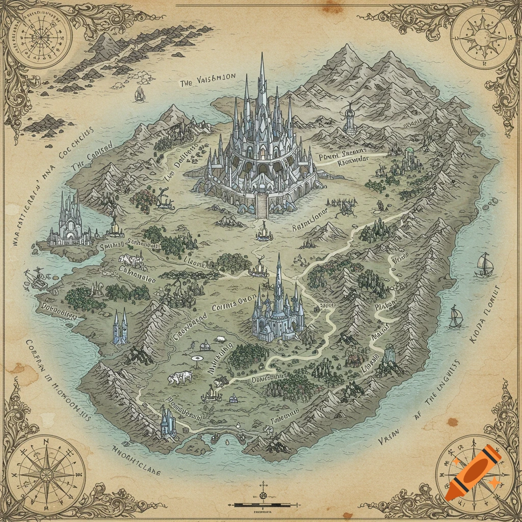
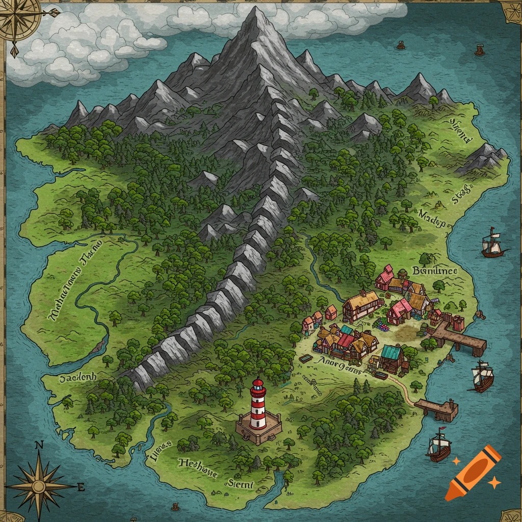
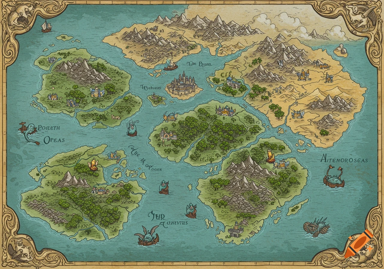
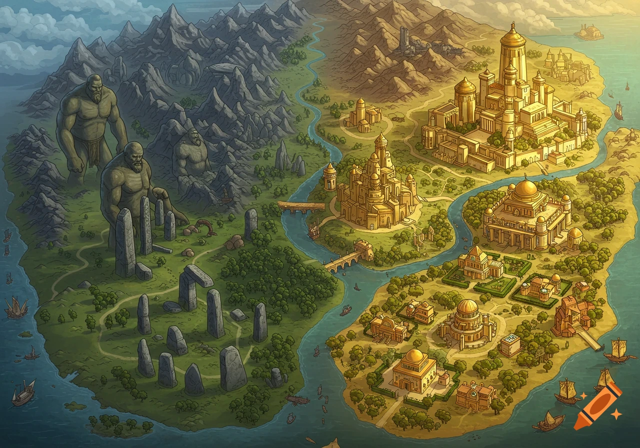
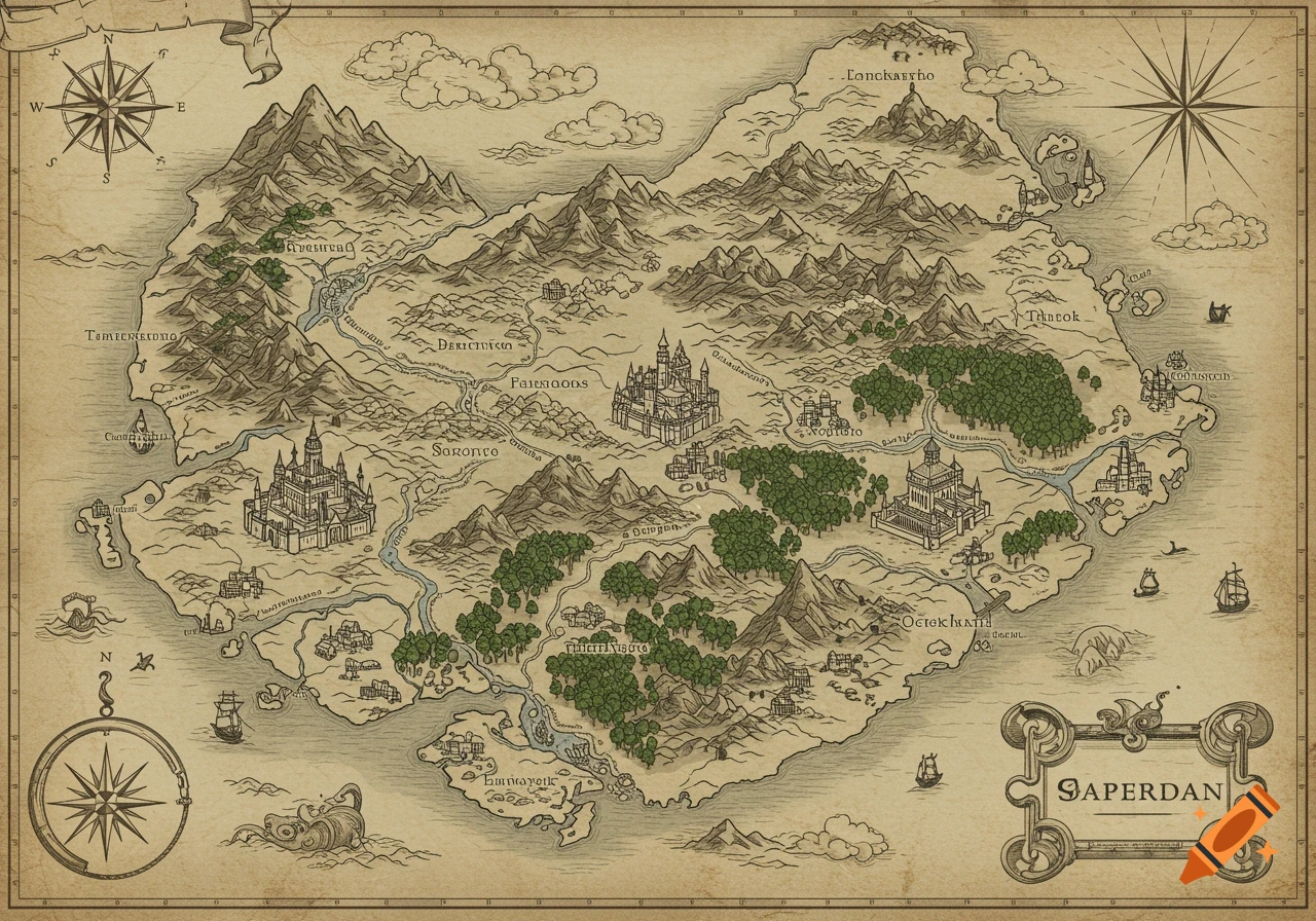
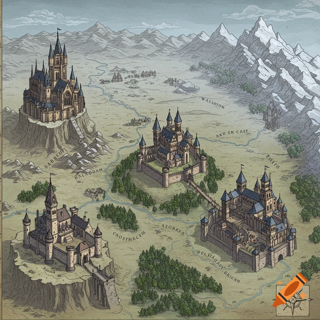
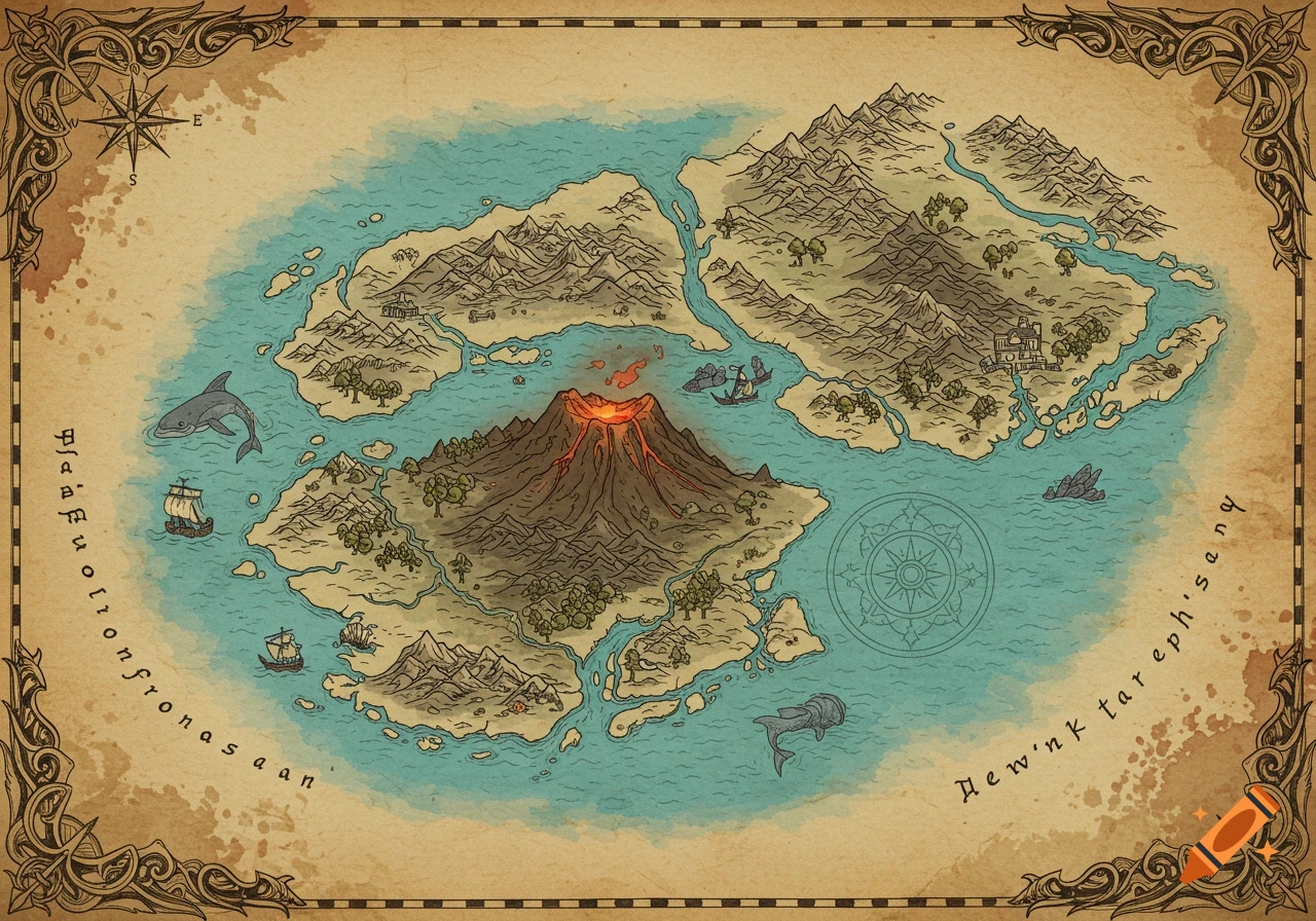
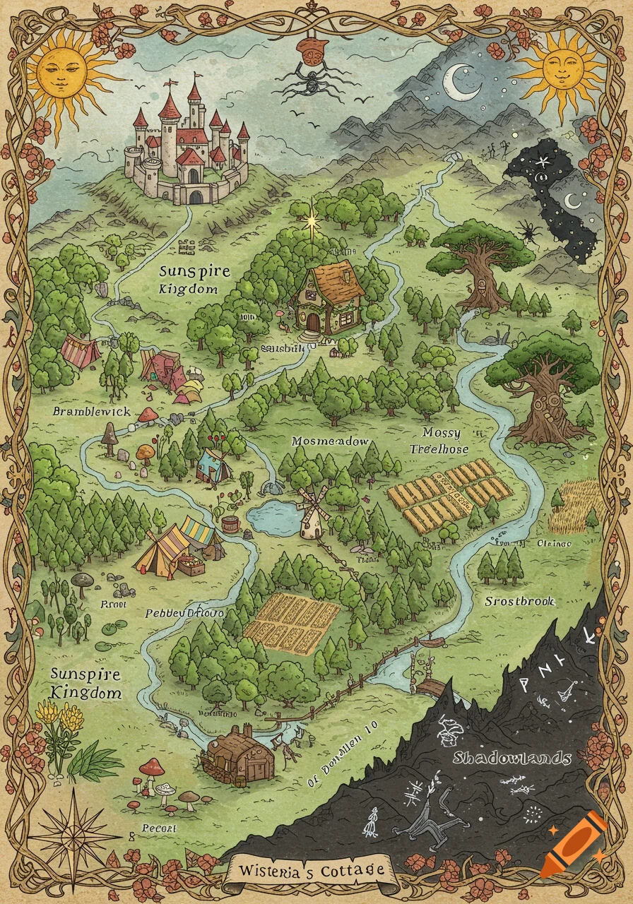
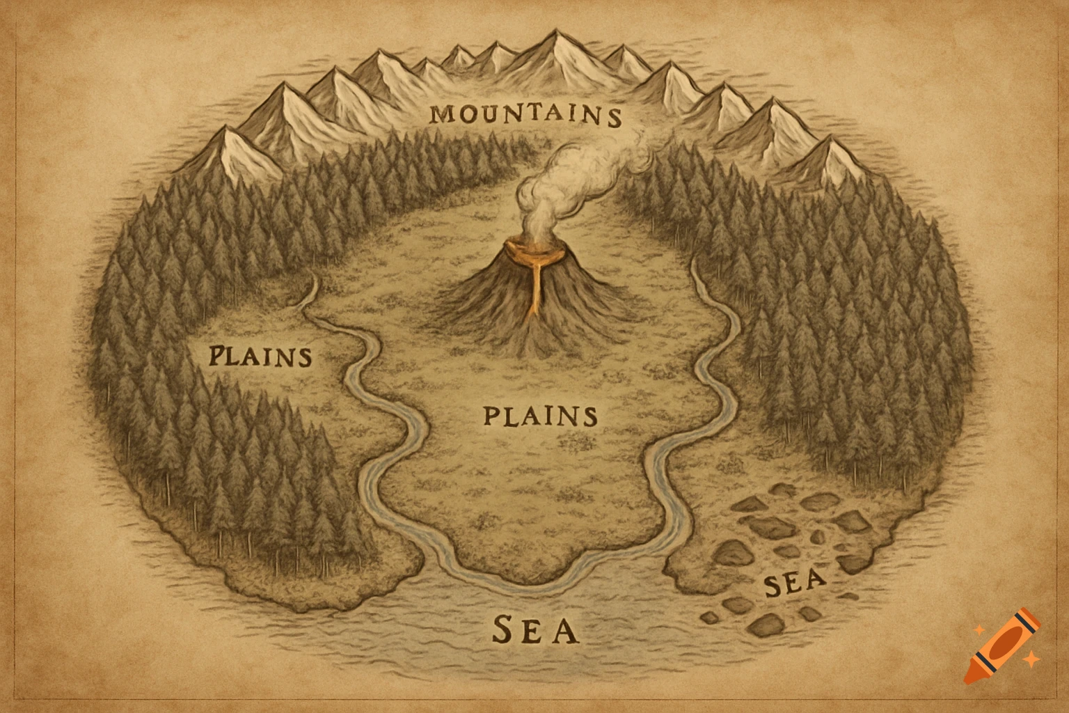
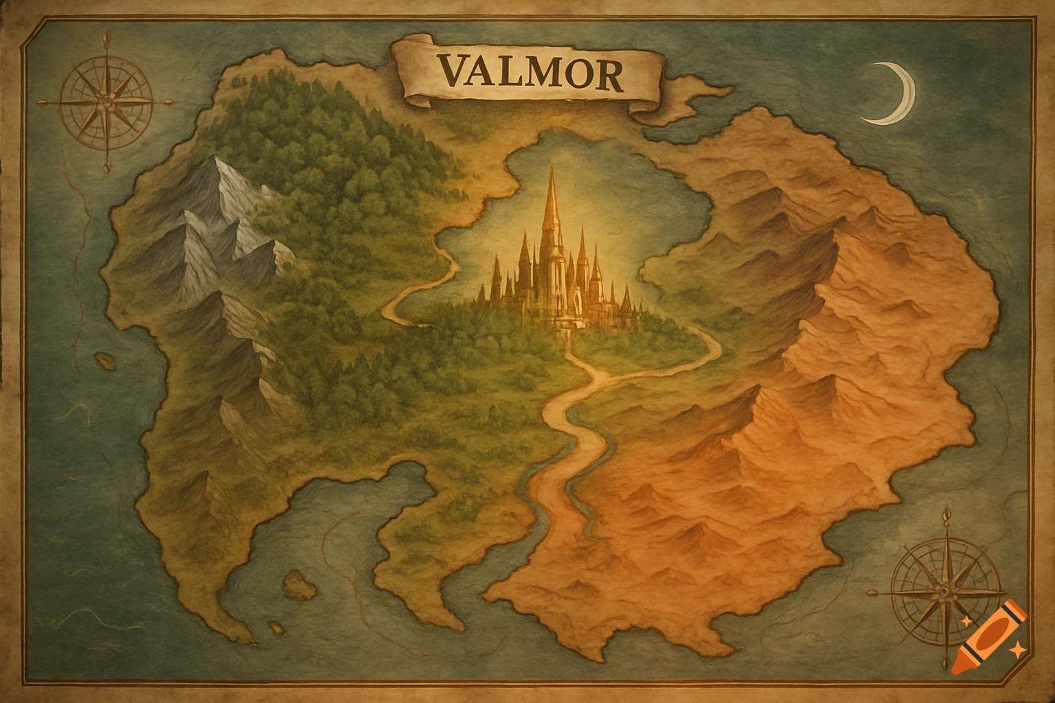
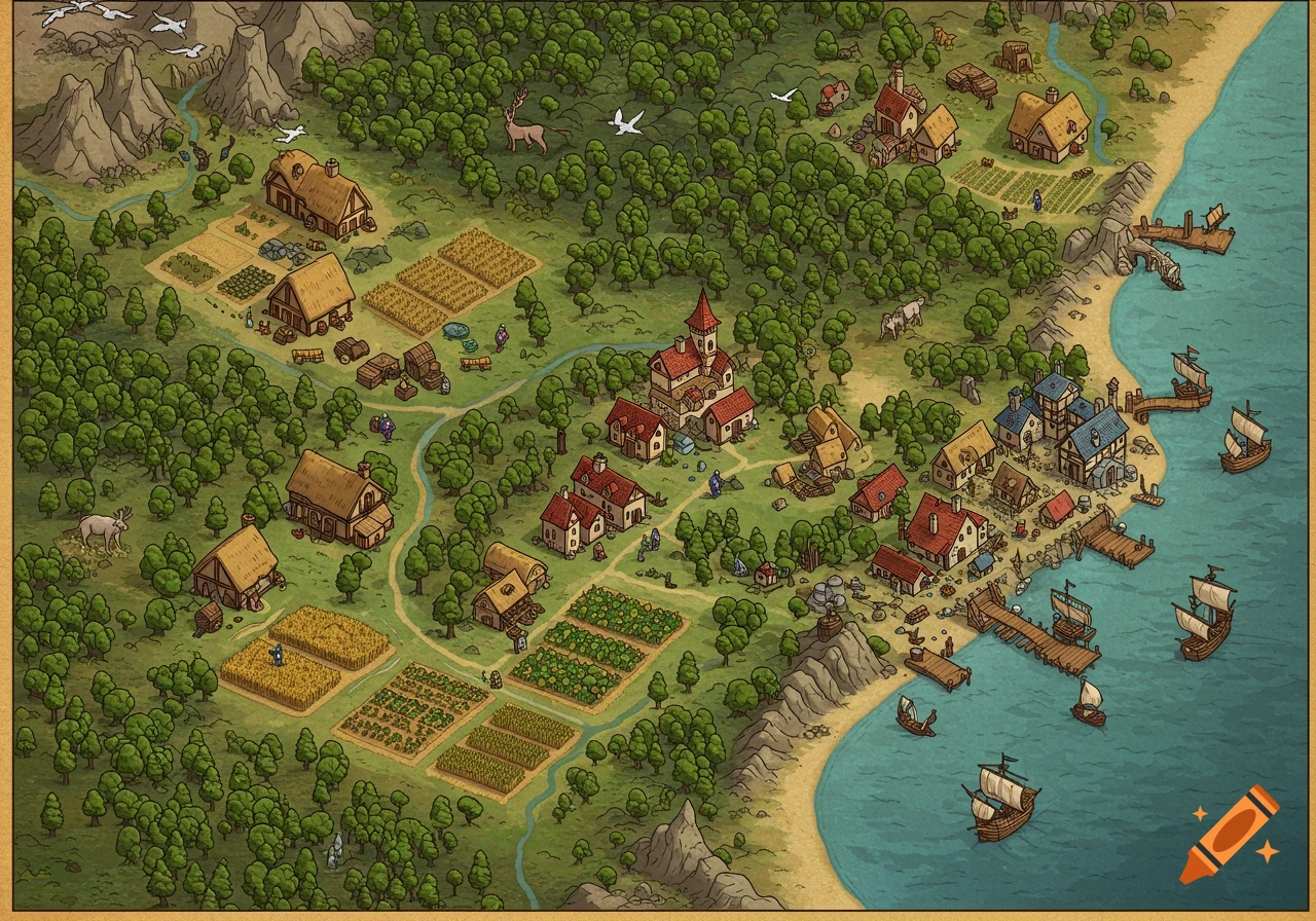
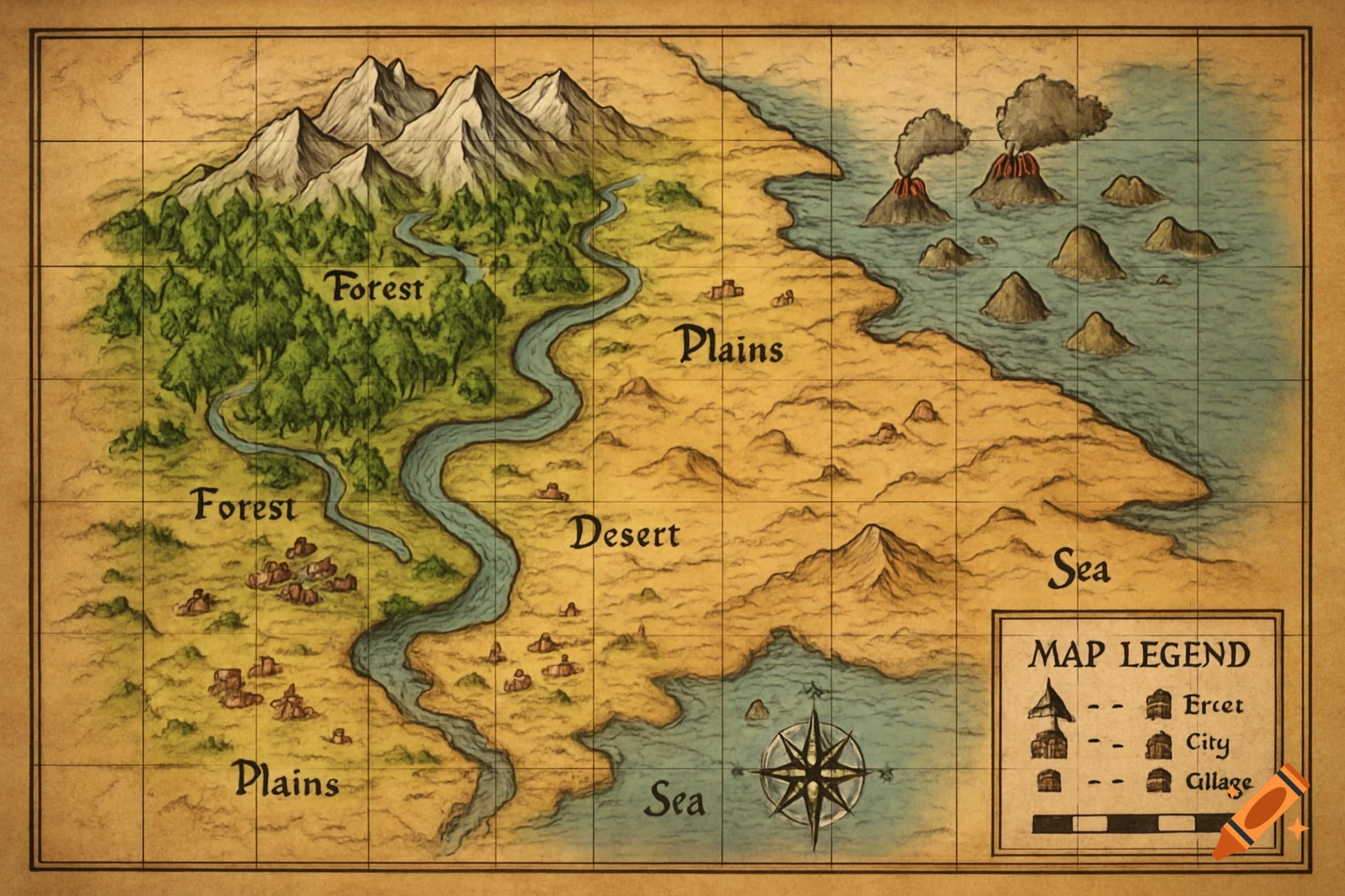
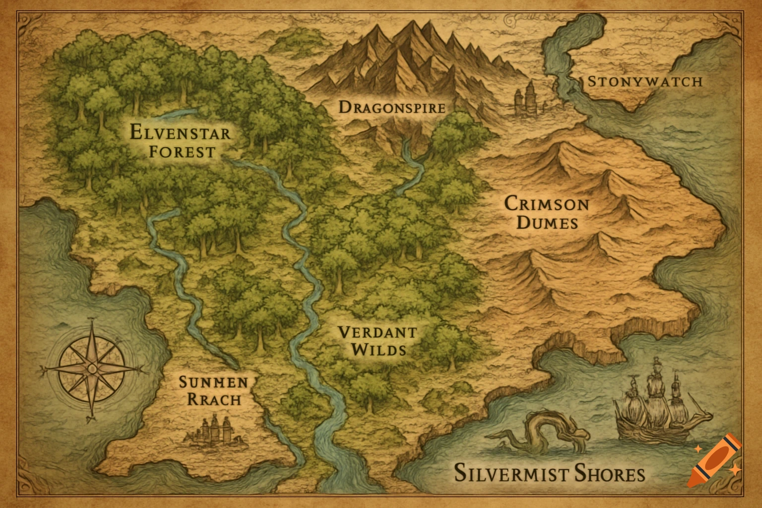
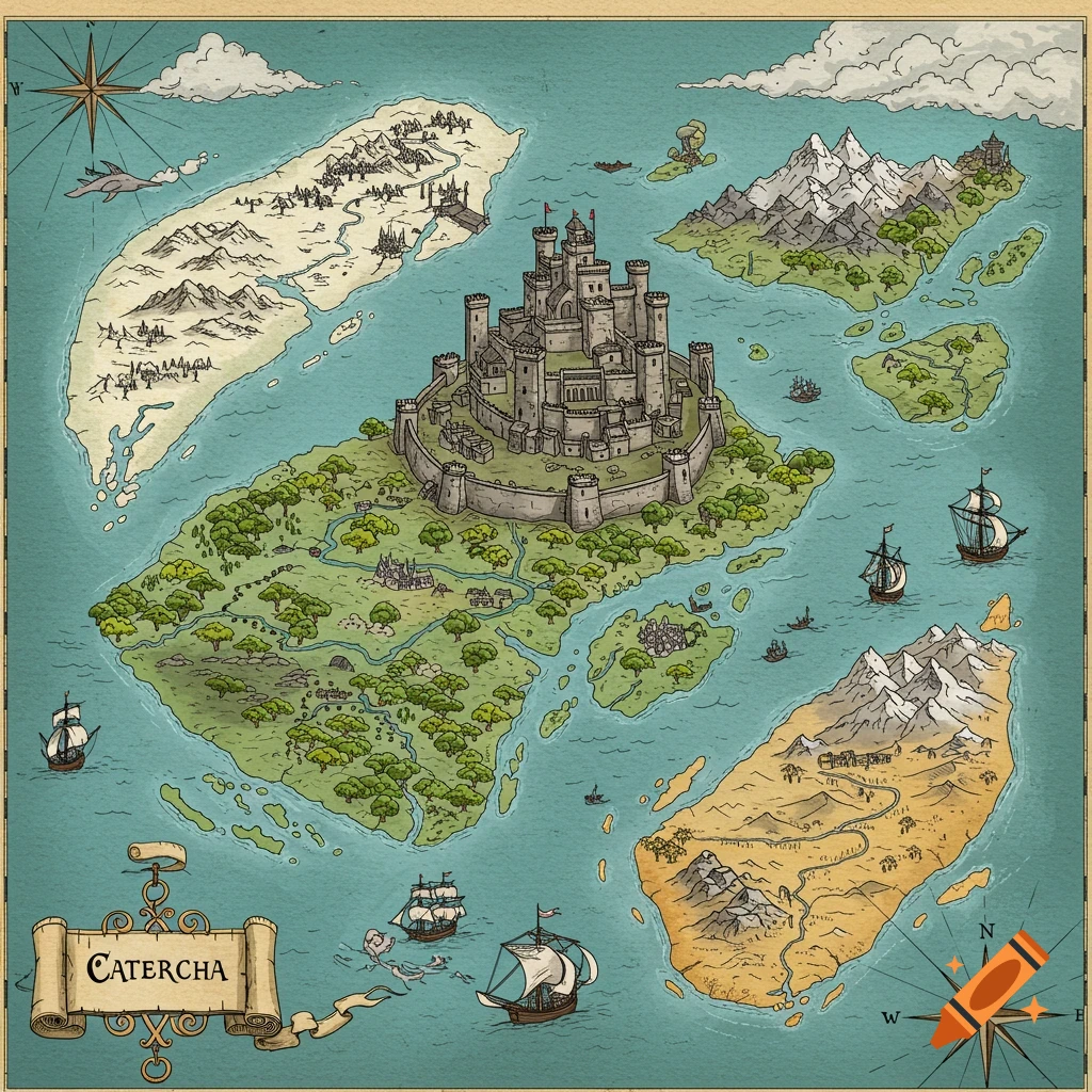
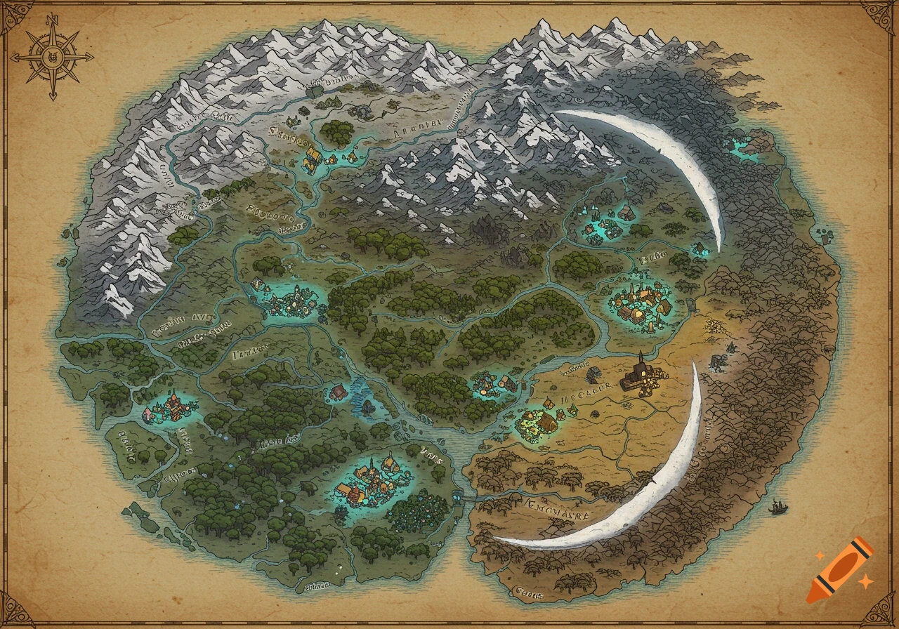
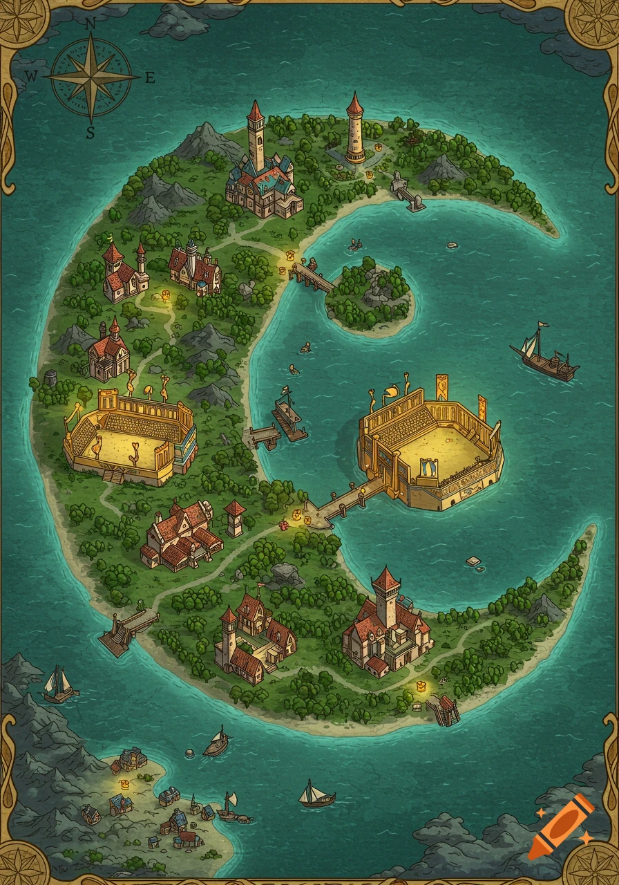
A hand-inked fantasy map of the continent Virelund, featuring a dense forest, mountains, rivers, farmland, a walled city, and a harbor, in an aged-parchment style.

A hand-inked fantasy world map of a single continent called Virelund, drawn in an aged-parchment cartography style — muted watercolor terrain washes, fine ink linework, hachured mountain ranges, cross-hatched forest texture, a decorative compass rose, and a scale bar. Roughly oval continental landmass, coastline most developed and harbor-dotted along the south. A mountain range spans the entire north. A dense old-growth forest occupies the west. Fertile river plains and farmland occupy the center. A rockier, more fractured contested frontier occupies the east, with a walled hill-top holy city near its western edge. Two rivers cross the landmass, both trending north-to-south, feeding a network of dashed old-road lines that converge at a river-ford town in the east. No modern elements, no readable text, painterly medieval-fantasy atlas aesthetic, warm parchment color palette (ochre, sage green, slate gray, muted blue sea). See more
More images like this