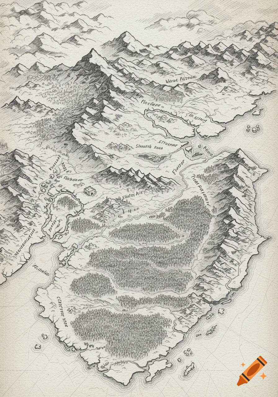
A vintage hand-drawn map of the Eastern Sierra Nevada, California, featuring mountains, lakes, towns, and Highway 395 on textured parchment.

Hand-drawn illustrated map of the Eastern Sierra Nevada in California, covering the region from Lone Pine in the south to Lee Vining in the north. The map must be geographically accurate in layout and orientation (north at the top). Show the Sierra Nevada mountain crest on the west side with sketched alpine peaks including Mount Whitney, Mount Williamson, Split Mountain, Mount Tom, and Mammoth Mountain. Place the towns correctly along U.S. Highway 395 in this order from south to north: Lone Pine → Independence → Big Pine → Bishop → Tom’s Place → Crowley Lake → Mammoth Lakes → June Lake → Lee Vining. Include major landscape features: Owens Valley, the Owens River running north–south, the White Mountains to the east, Long Valley Caldera near Mammoth, and Mono Lake just east of Lee Vining. Style: vintage hand-drawn cartographic style, ink lines and watercolor washes, textured parchment paper, sketched mountain ridges, small illustrated icons for towns, lakes, and forests. Add a decorative compass rose, subtle elevation shading, and a simple legend. The map should feel like an artist’s field sketch but remain geographically accurate. See more
More images like this