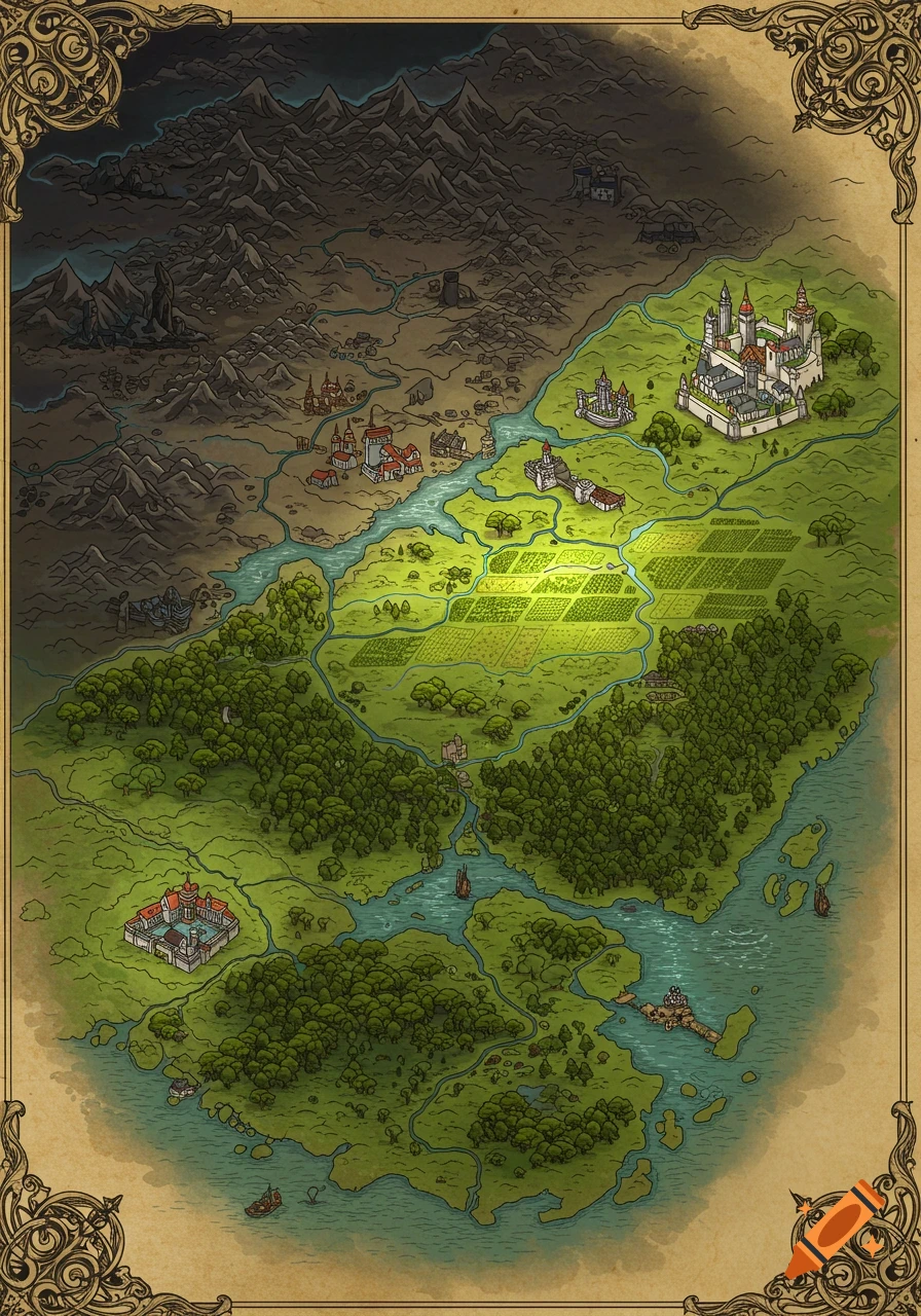
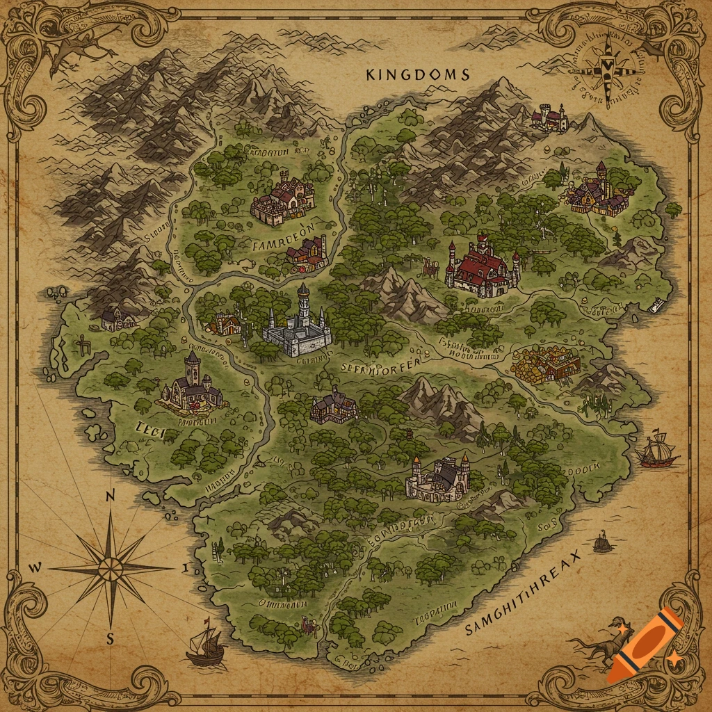
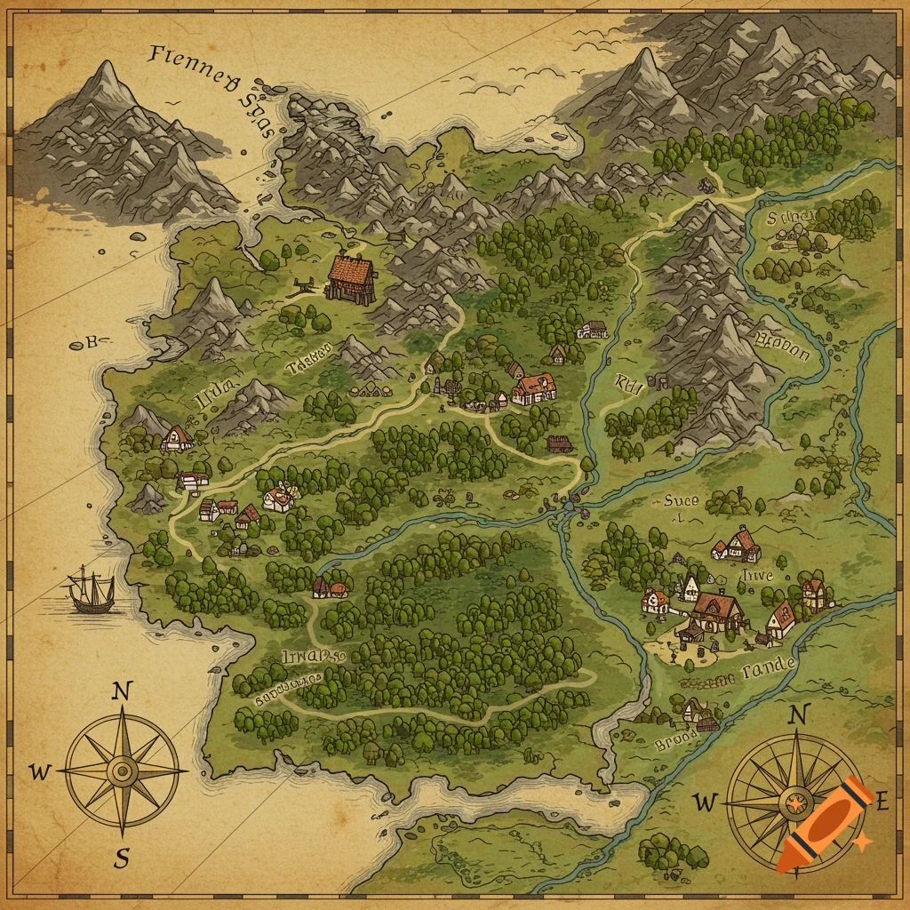
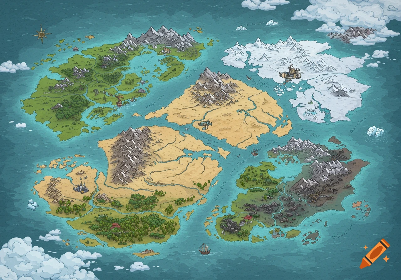
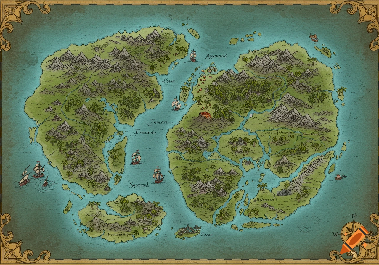
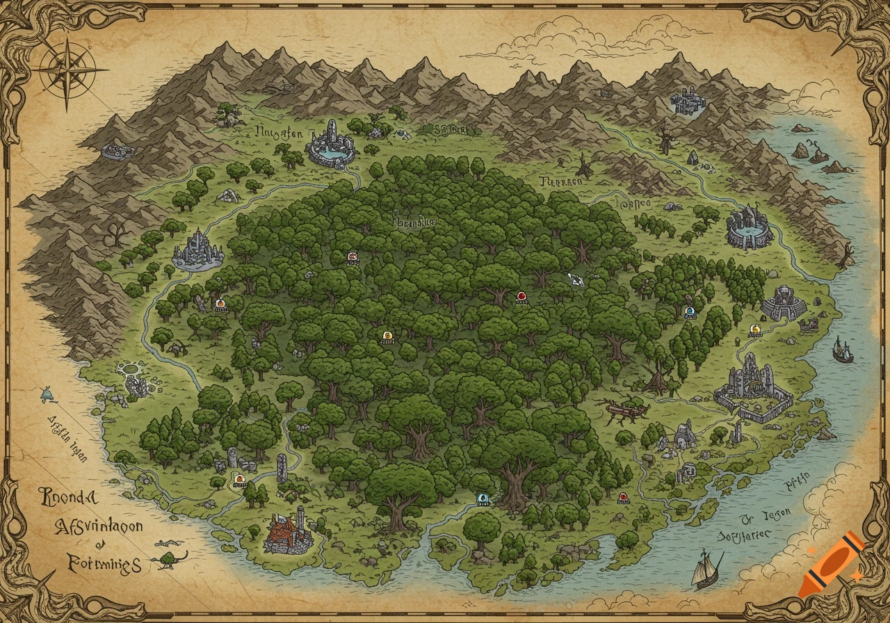
A detailed fantasy map featuring forests, indigenous and colonial settlements, plains, a lake, and icy terrain, bordered by decorative scrollwork.

A detailed fantasy map inspired by the geography of New Zealand, shown from a top-down cartographic perspective. The northern region is heavily forested with dense green bush and rugged hills, containing five main indigenous settlements connected by paths; one settlement is significantly larger and more elaborate, representing the political and cultural powerhouse of the north. A narrow central isthmus separates the north and south; this region has been colonised by a British-like empire, featuring stone buildings, roads, forts, and a large colonial city built over an older indigenous settlement. Colonial borders and infrastructure visibly encroach northward into native forest lands. The southern region consists of wide open plains, rolling grasslands, and a large freshwater lake, with one major indigenous settlement near the lake and several smaller settlements scattered across the plains and forest edges. The far southern tip transitions into an icy wasteland with snowfields, glaciers, and frozen terrain. The map is richly illustrated with natural terrain, coastlines, rivers, mountain ranges, and subtle cultural markers distinguishing indigenous and colonial regions. Fantasy-historical tone, high detail, parchment or illustrated atlas style. Mehr sehen
More images like this