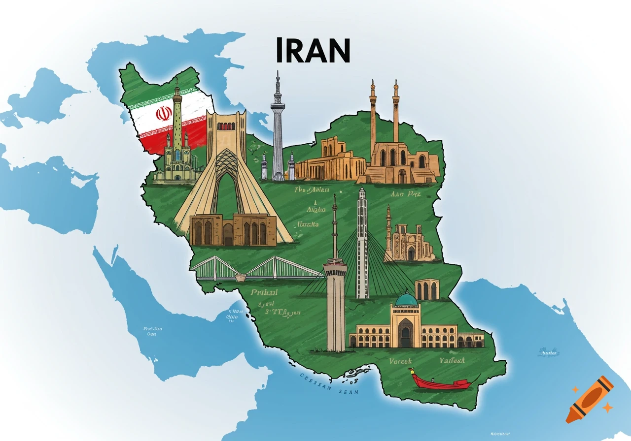
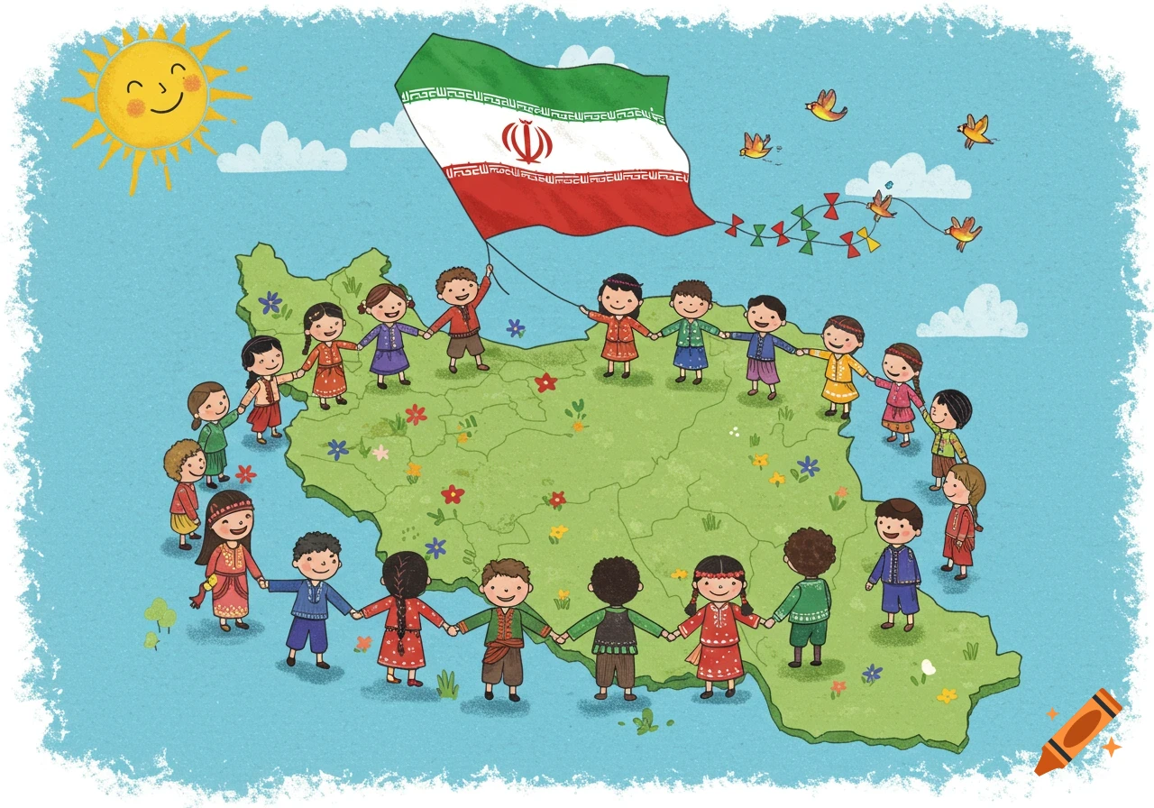
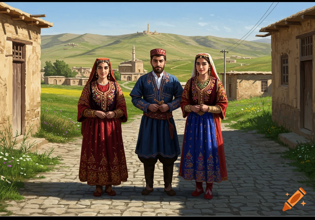
An educational infographic map of Iran showing climate-based regions and cartoon couples in traditional ethnic costumes, with 'Caspian Sea' labeled.

An ultra-detailed educational infographic map of Iran for a school project. The map is divided into provinces with specific climate-based colors: lush green for Gilan and Mazandaran (North), earthy brown and ochre for Kerman and central deserts (Center), and warm tones for the South. In each region, there is a beautiful, high-quality cartoon illustration of a couple (man and woman) wearing their authentic traditional ethnic costumes (e.g., Kurdish, Balochi, Gilaki, Lur, Azeri, Turkmen). The characters are placed naturally within their respective provinces. The sea in the north is clearly and elegantly labeled as 'Caspian Sea'. The overall style is clean, vibrant, and professional with high resolution, 8k, and a bright white background for easy printing." Mehr sehen
More images like this