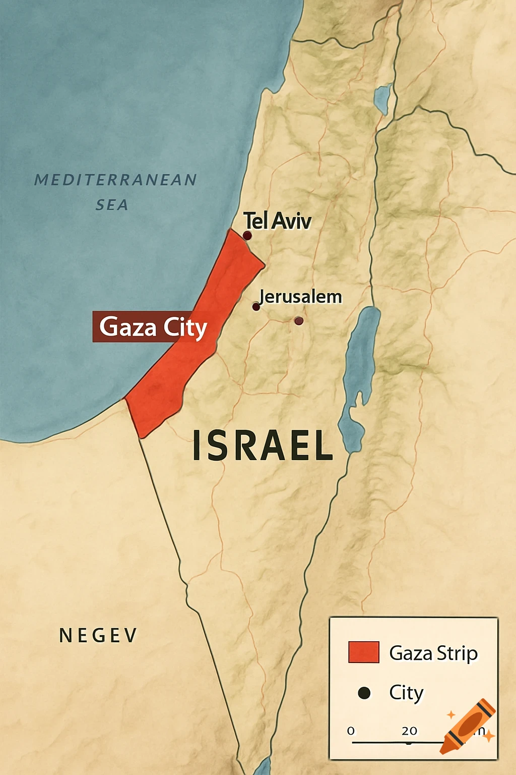
Political map of Israel and Palestinian territories showing borders, cities, and legend.
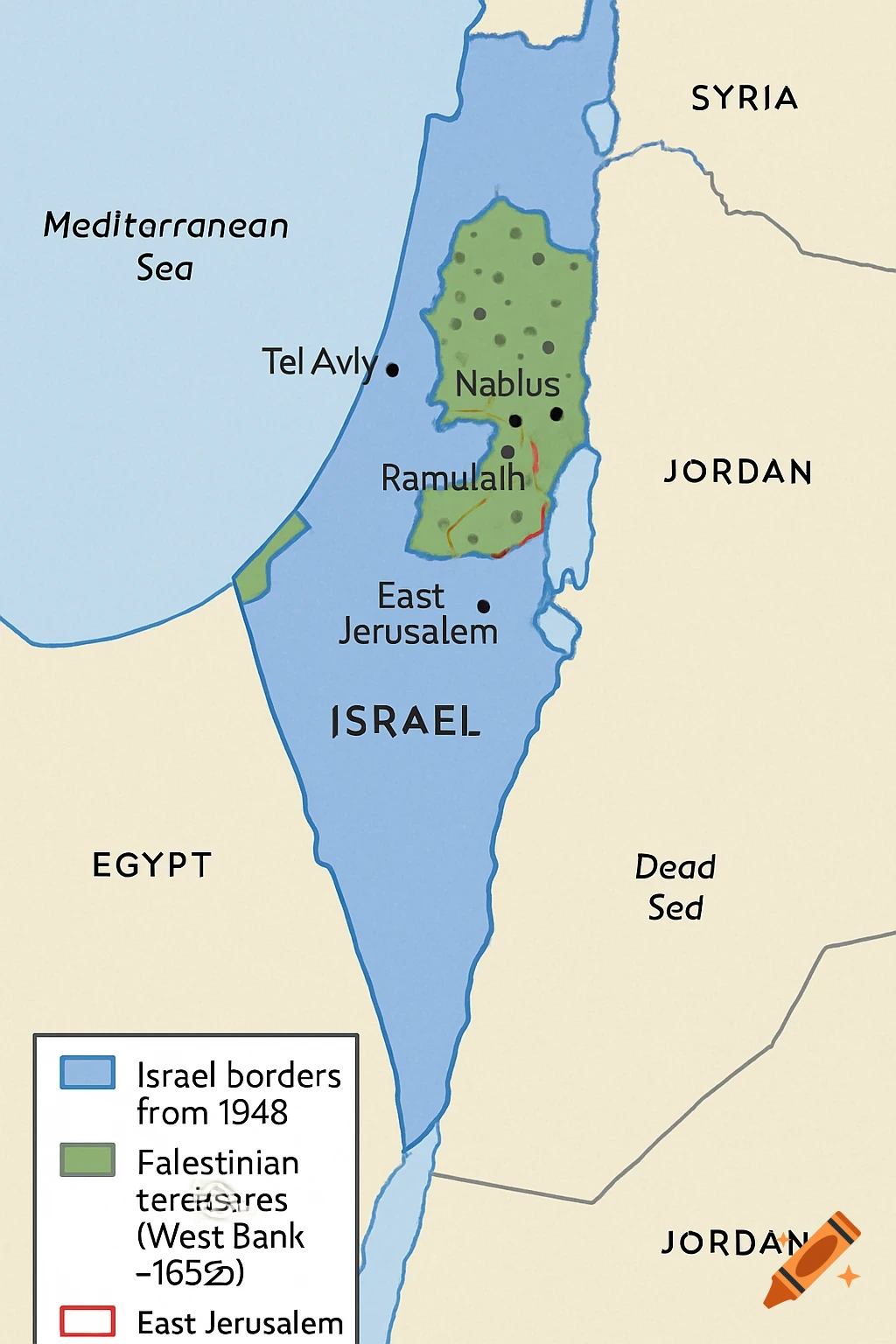
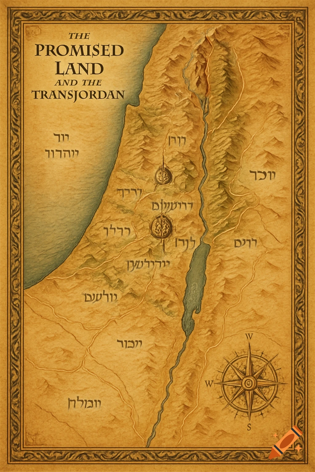
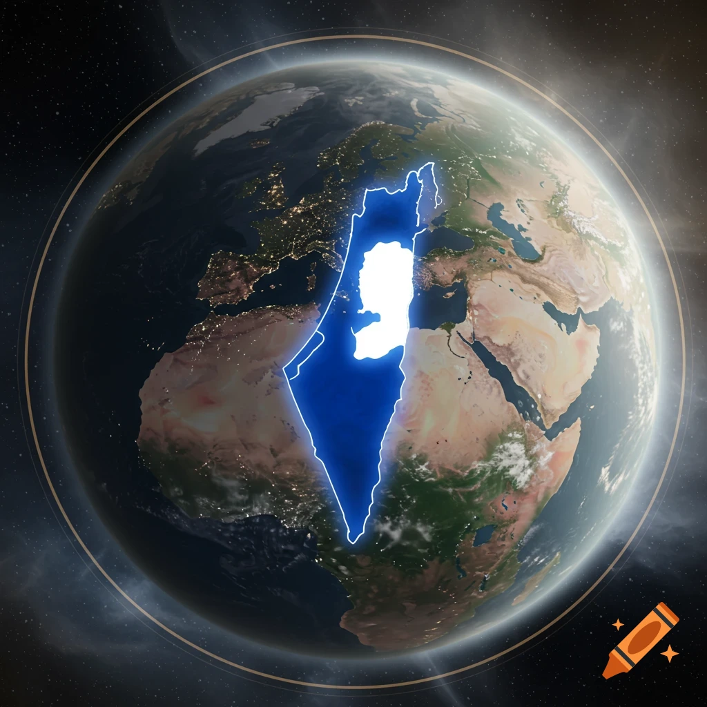
make a good detailed map of the Israel and plaistine areas with these points Israel’s borders from 1948 shaded in blue. Palestinian territories (West Bank and Gaza) shaded in green. East Jerusalem outlined in red and divided between both sides. Israeli settlements in the West Bank marked with black dots. Clear borders between areas. A legend explaining the colors and symbols. Mehr sehen
More images like this