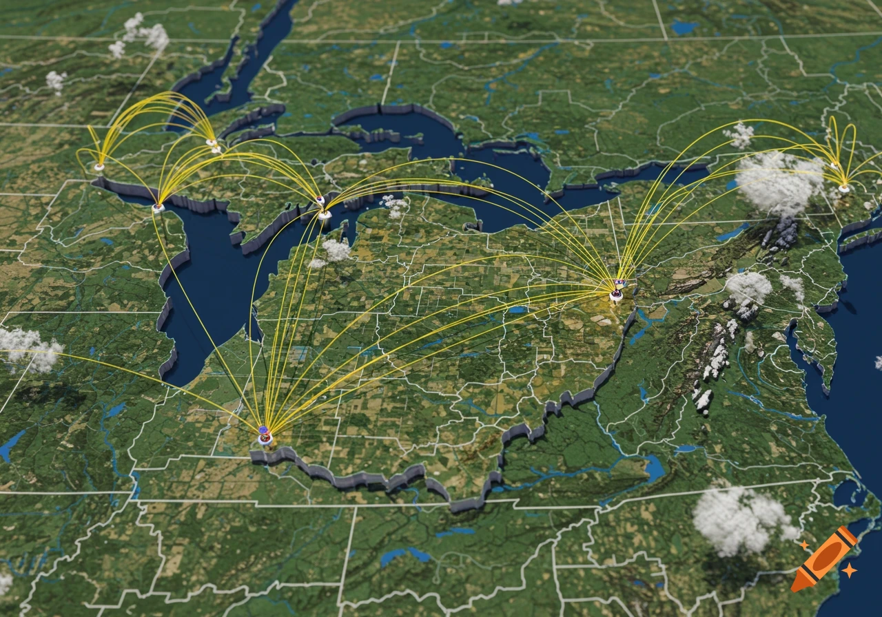
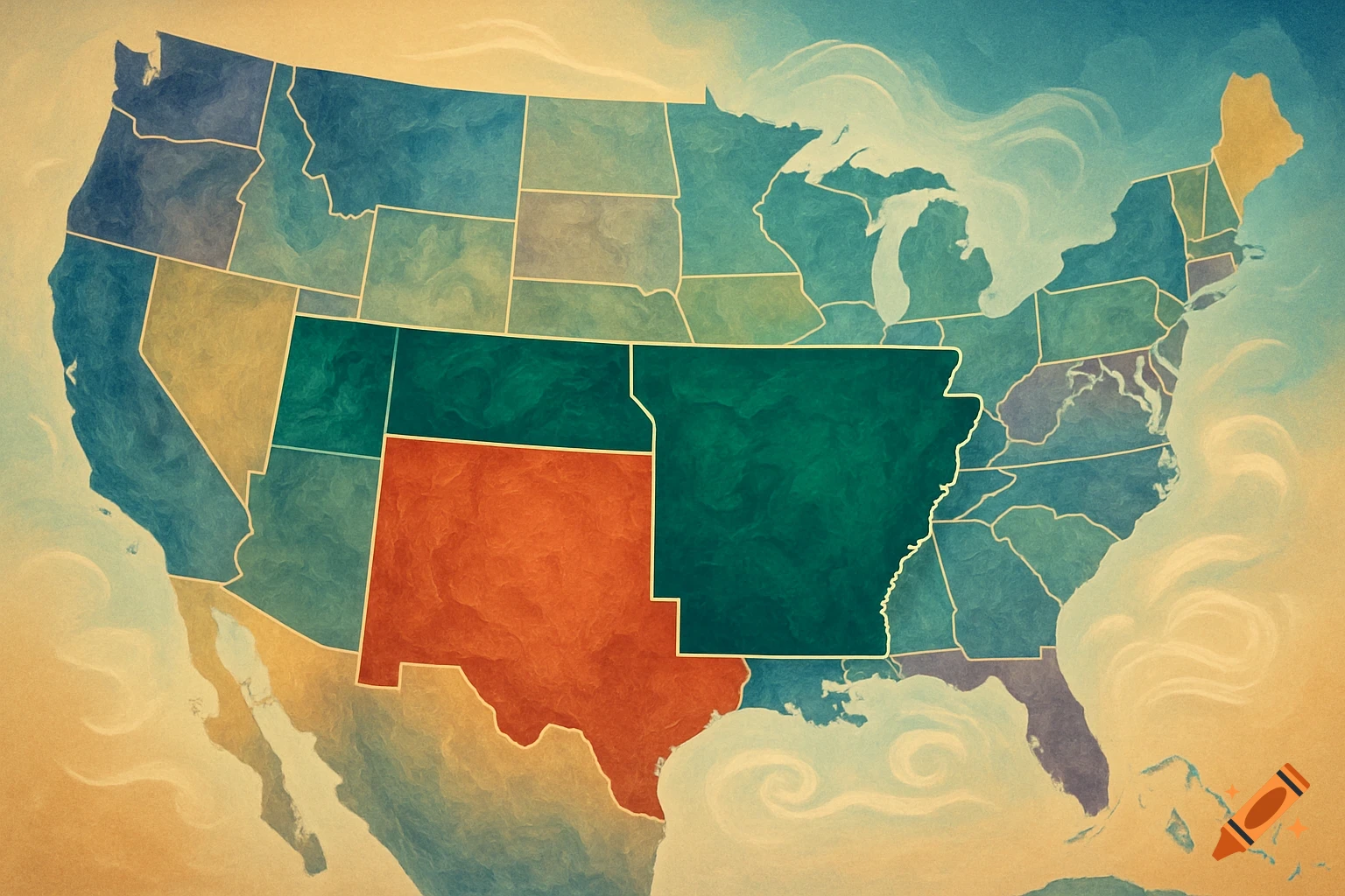
Detailed map of the United States showing environmental factors like winter severity, fog, forest density, mountains, and population density with a legend.

Highly detailed map of the entire United States viewed from above, without state borders or political boundaries. The map should visualize multiple environmental and human factors as smooth gradient layers with natural transitions, not hard lines. Show winter severity (from mild to harsh snowy regions), fog and mist frequency, forest density, mountain and elevation regions, and population density. Each factor should blend smoothly across the landscape using subtle color gradients and atmospheric overlays. Forests should appear denser where vegetation is high, mountains should have realistic terrain shading, winter intensity should gradually increase with climate and elevation, foggy regions should have soft mist-like textures, and population density should appear as a gentle gradient from isolated wilderness to dense urban corridors. Include a clean, readable legend integrated into the map design. The legend must clearly explain every layer and color scale used: winter severity, fog frequency, forest density, mountain elevation, and population density. Use intuitive colors and symbols, with low-to-high scales for each factor. The legend should be elegant and scientific, similar to a professional environmental atlas. The map should look realistic, geographic, cinematic and information-rich, similar to a scientific environmental atlas mixed with a beautiful satellite-style visualization. No labels on states, no state borders, no political map style, only natural and Mehr sehen
More images like this