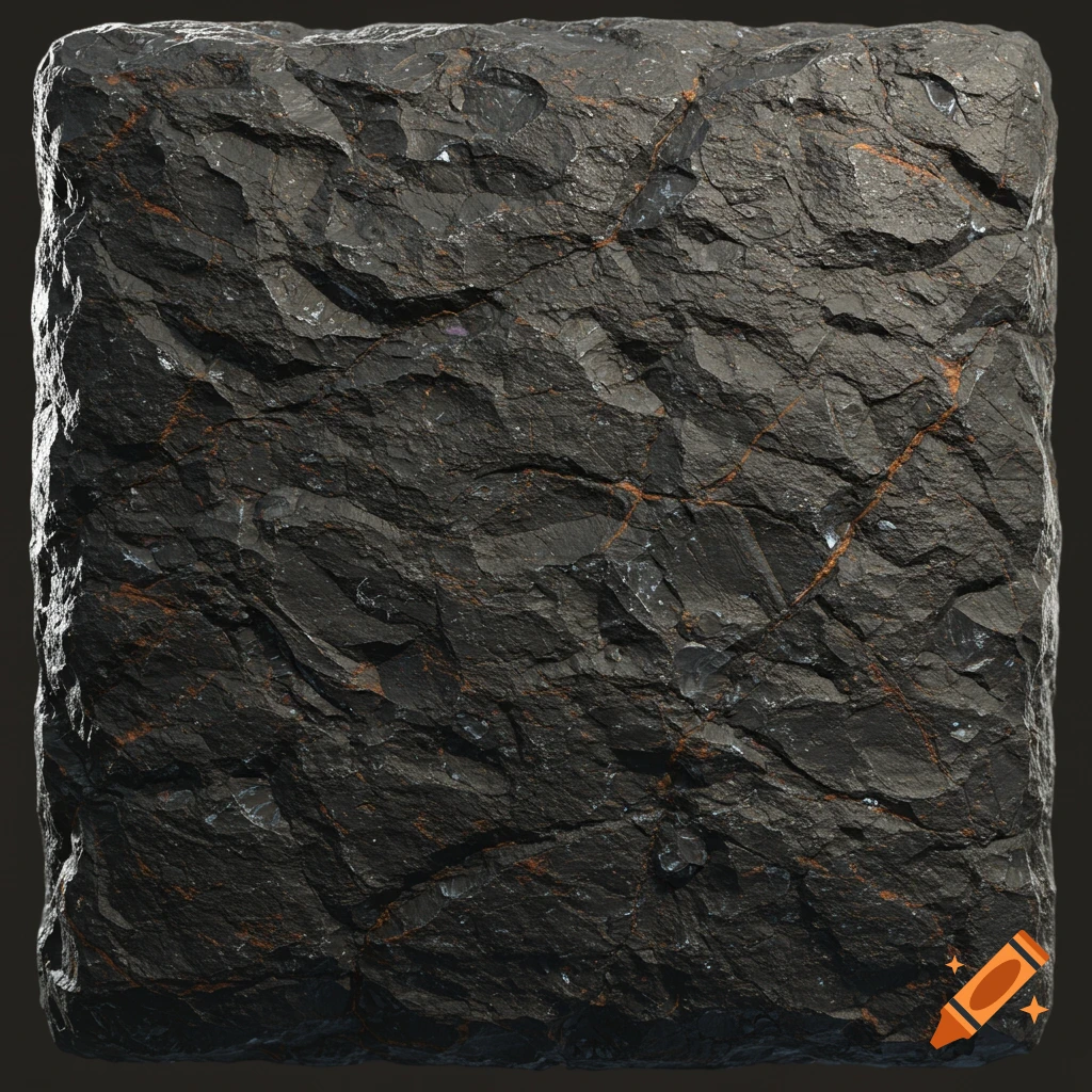
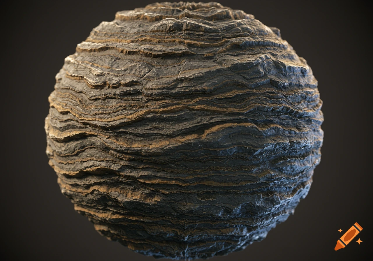
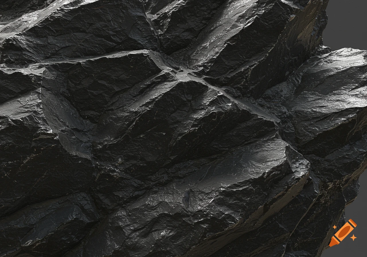
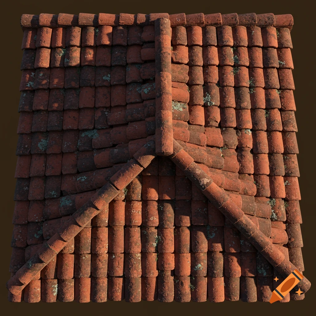
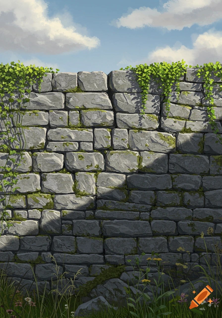
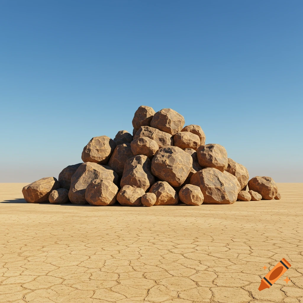
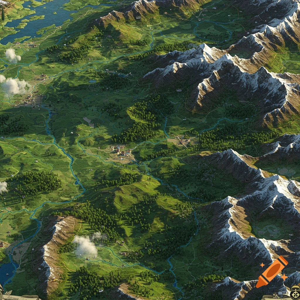
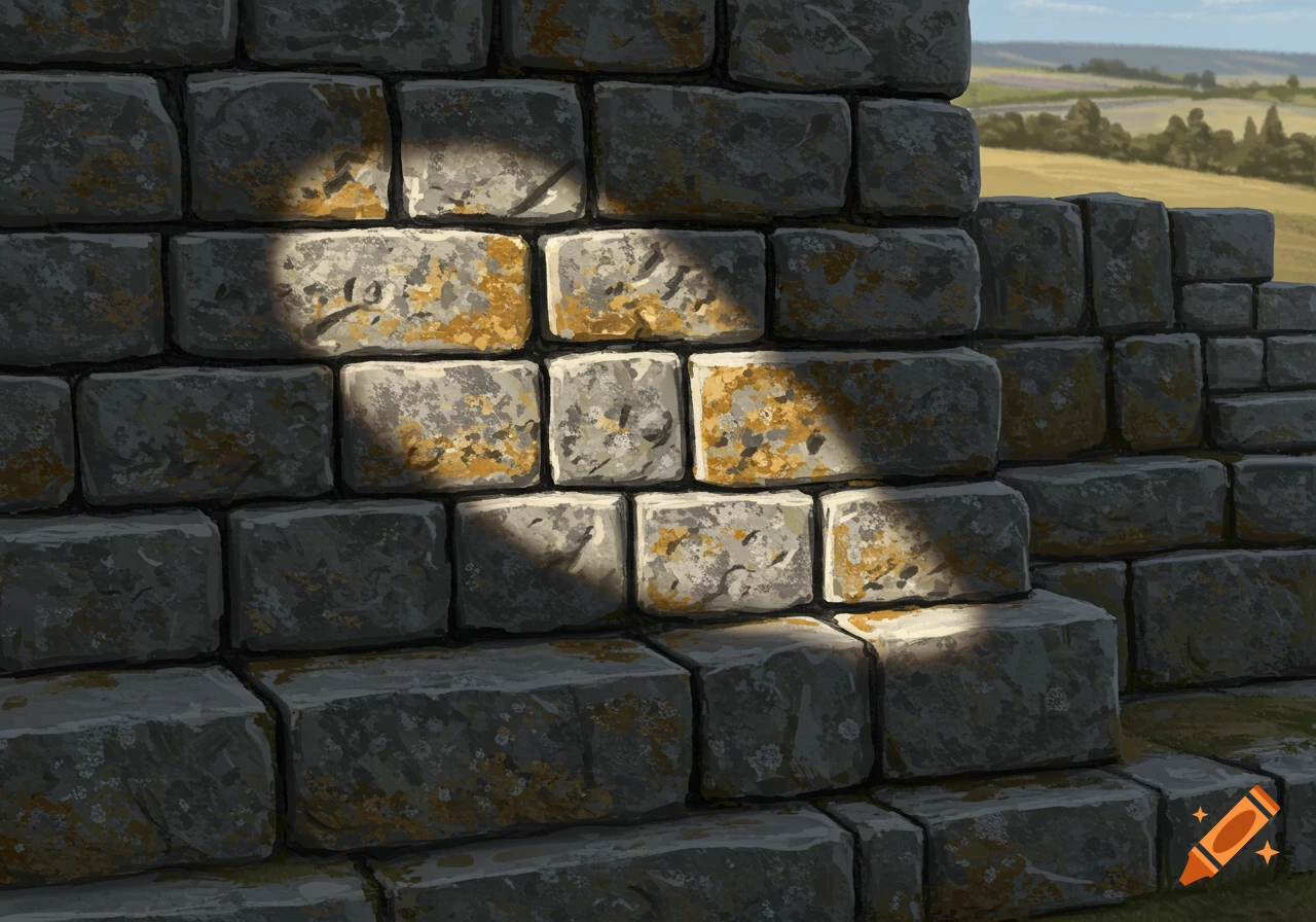
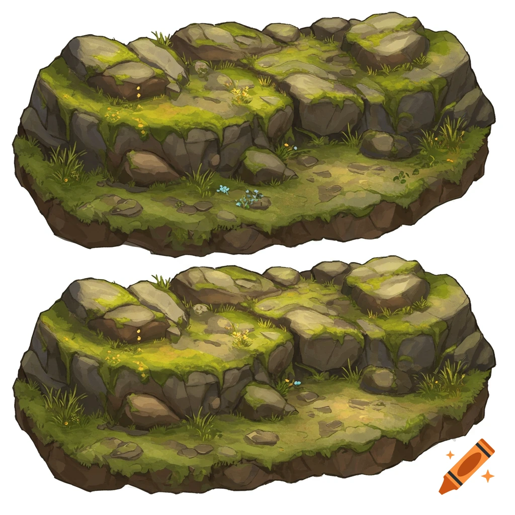
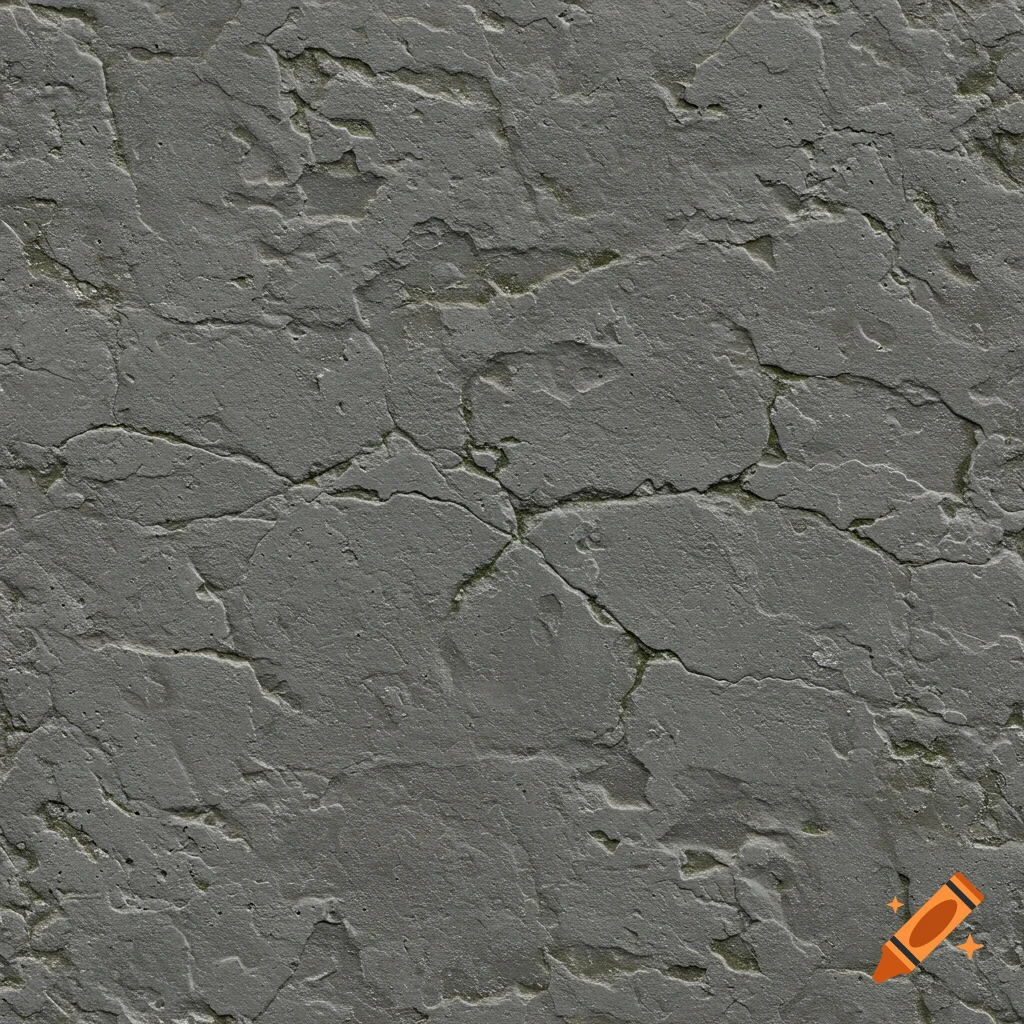
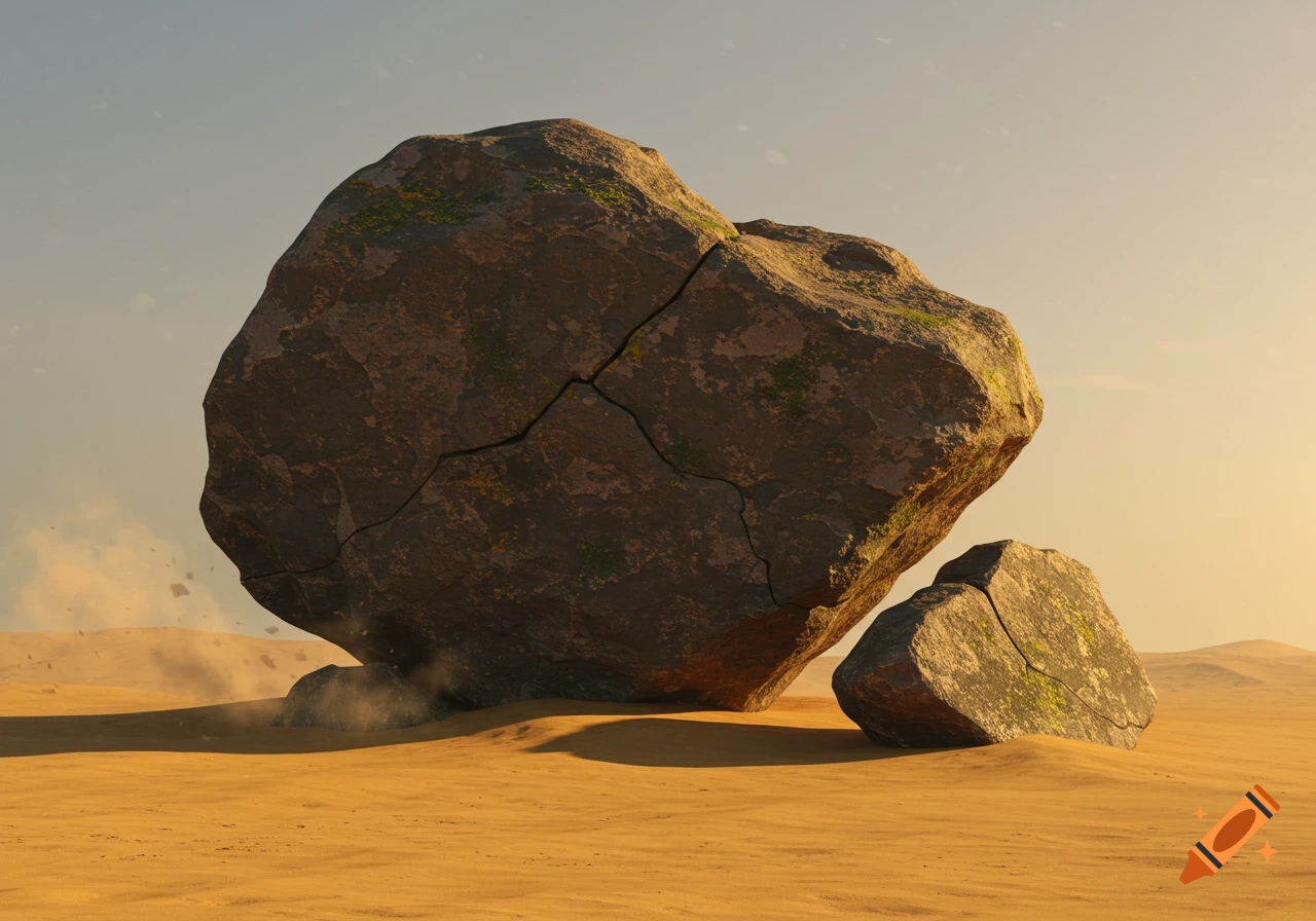
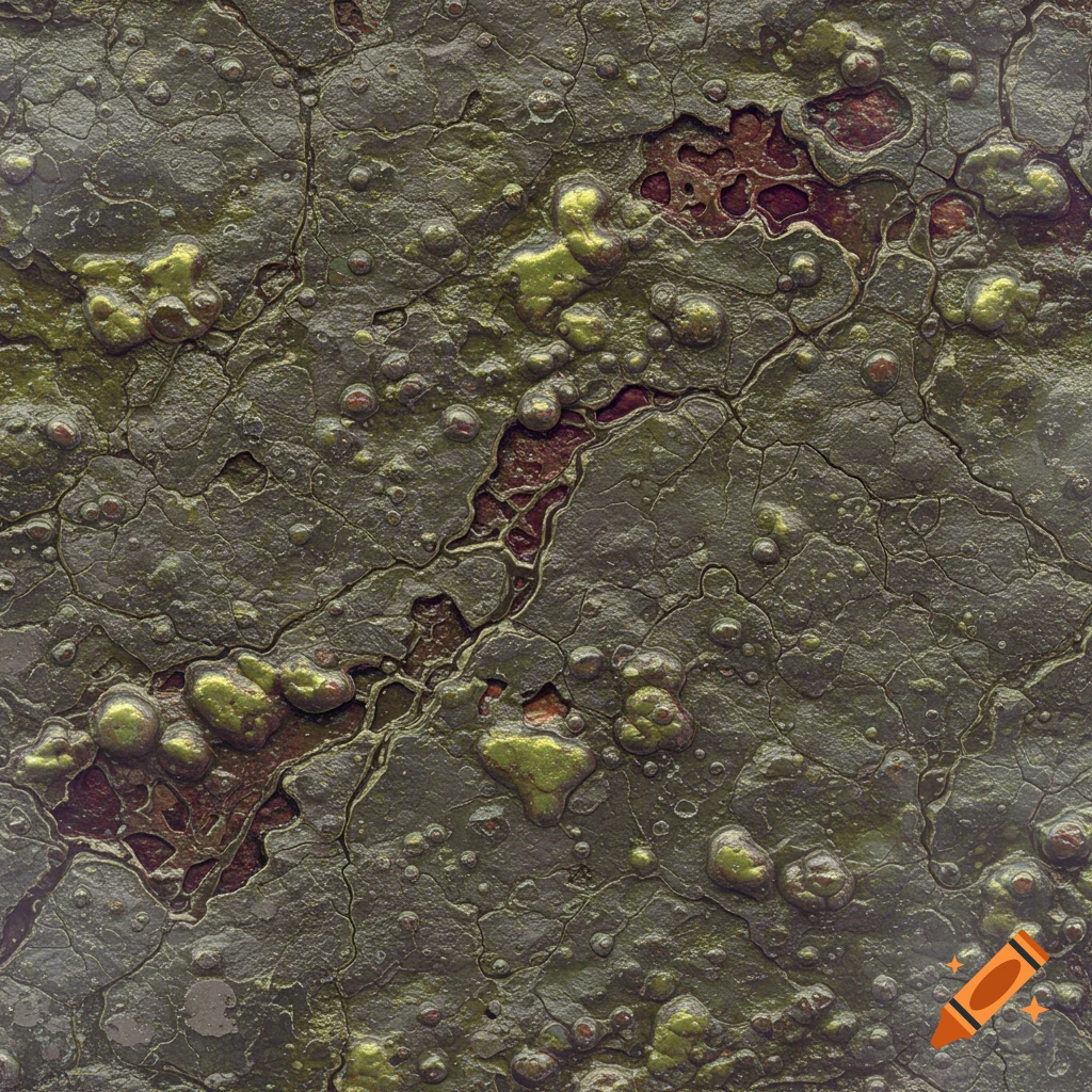
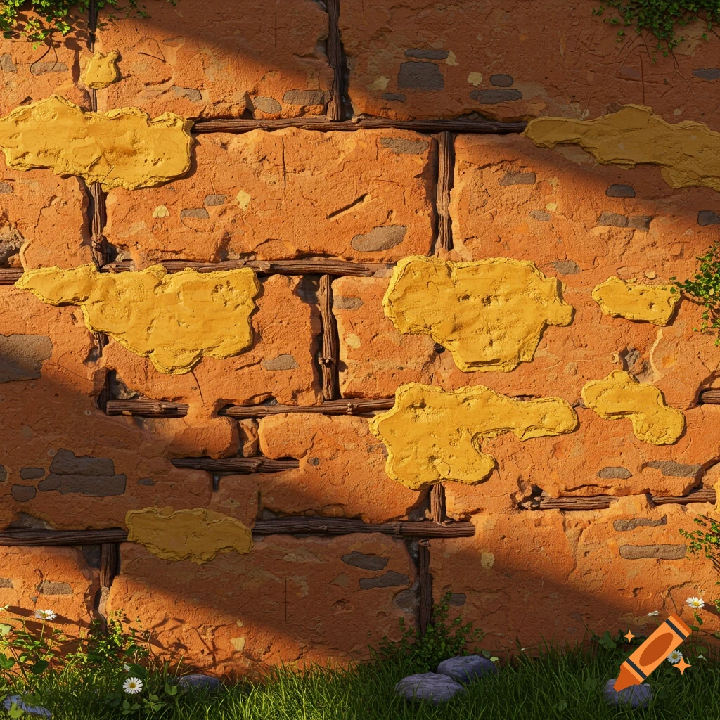
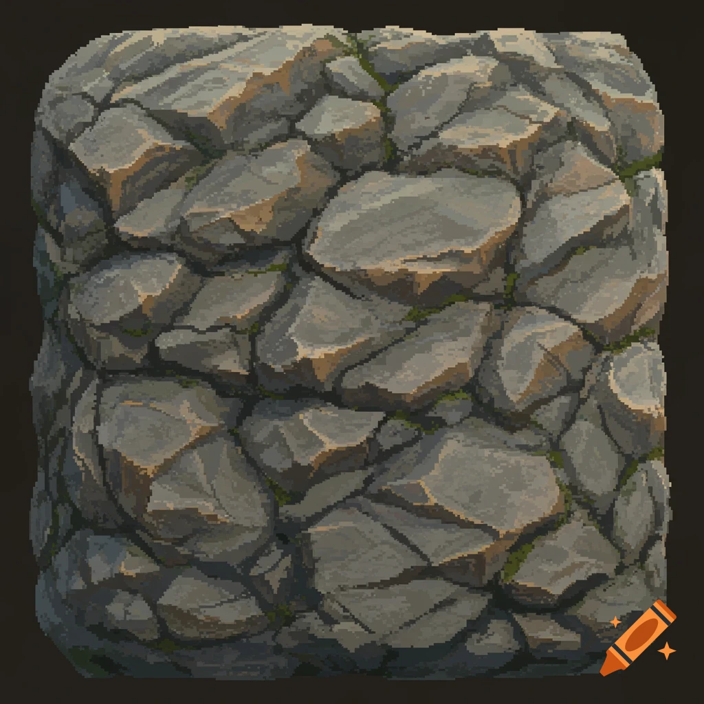
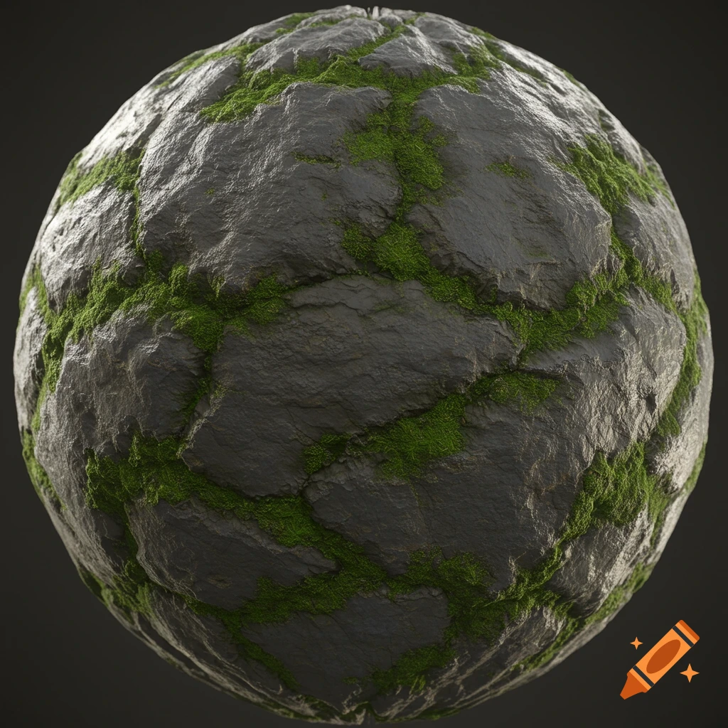
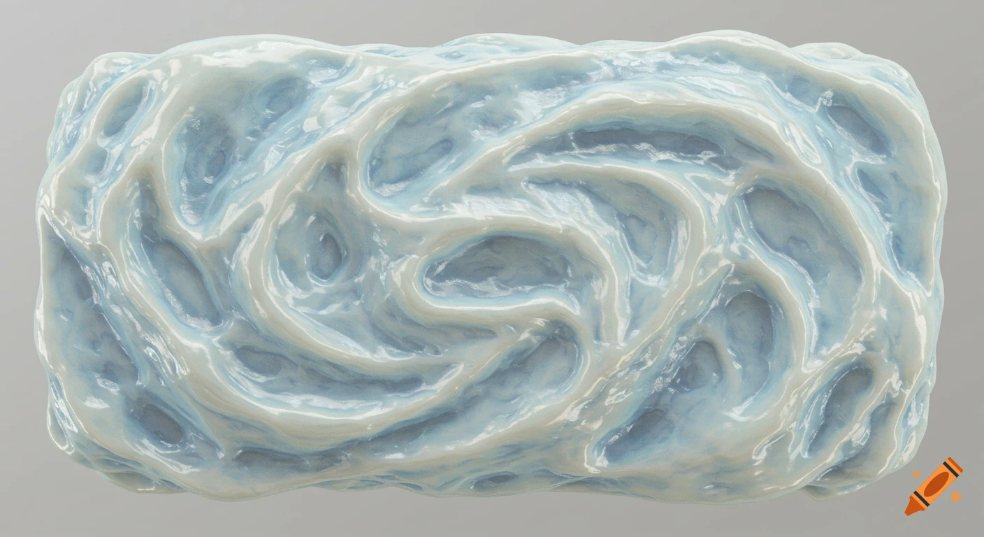
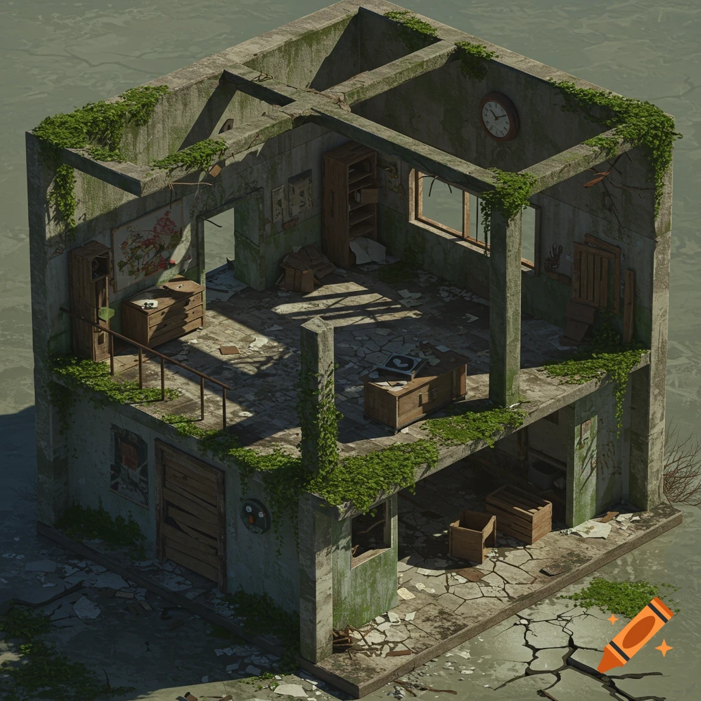
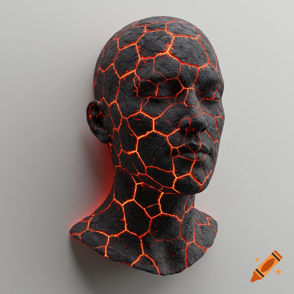
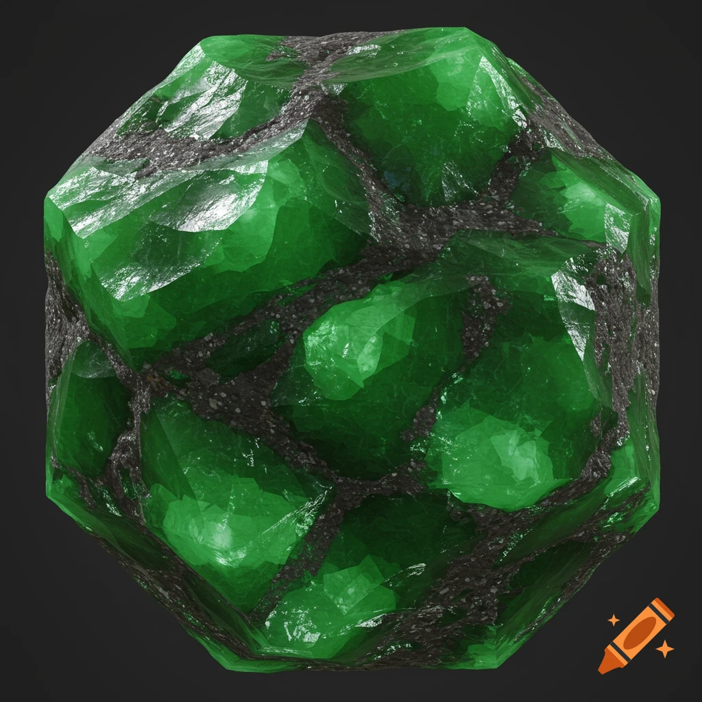
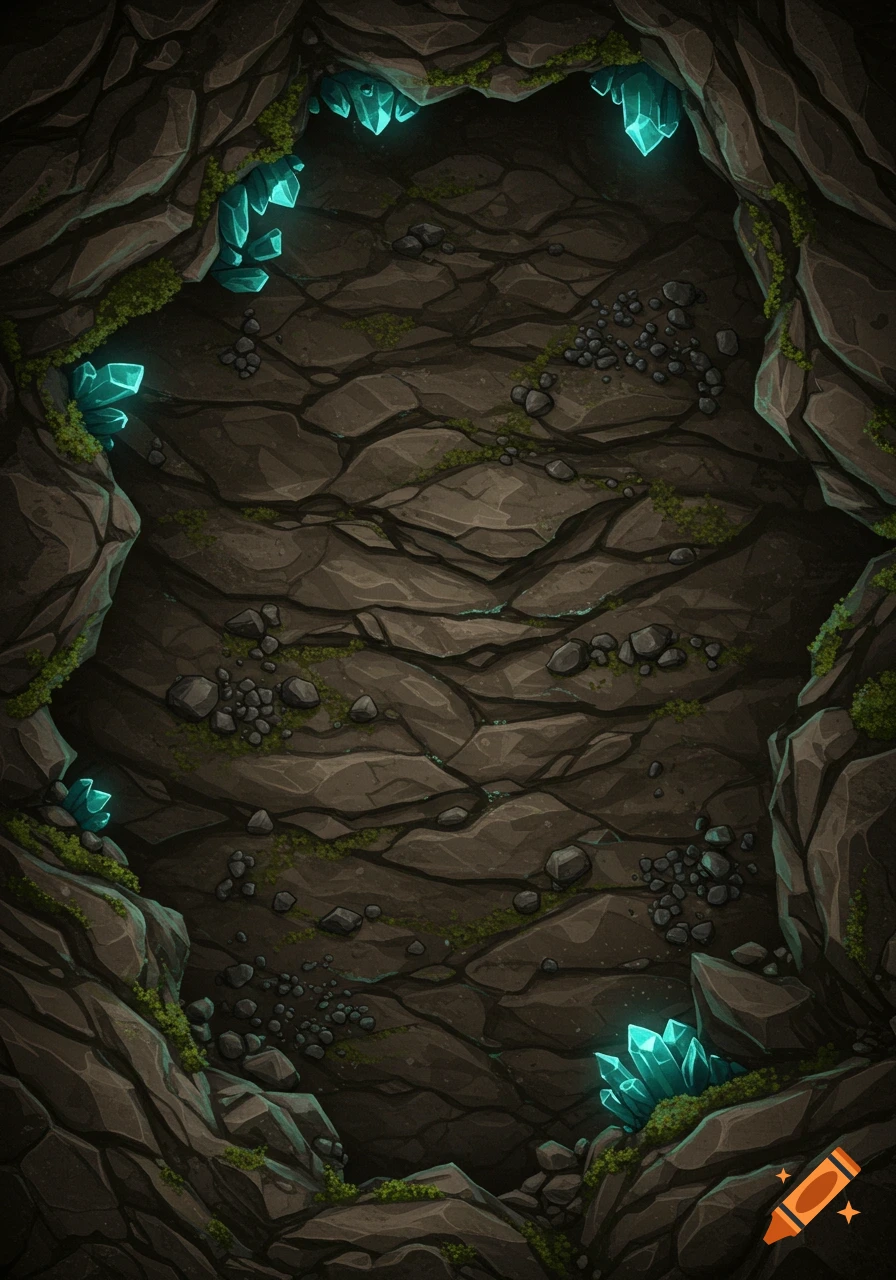
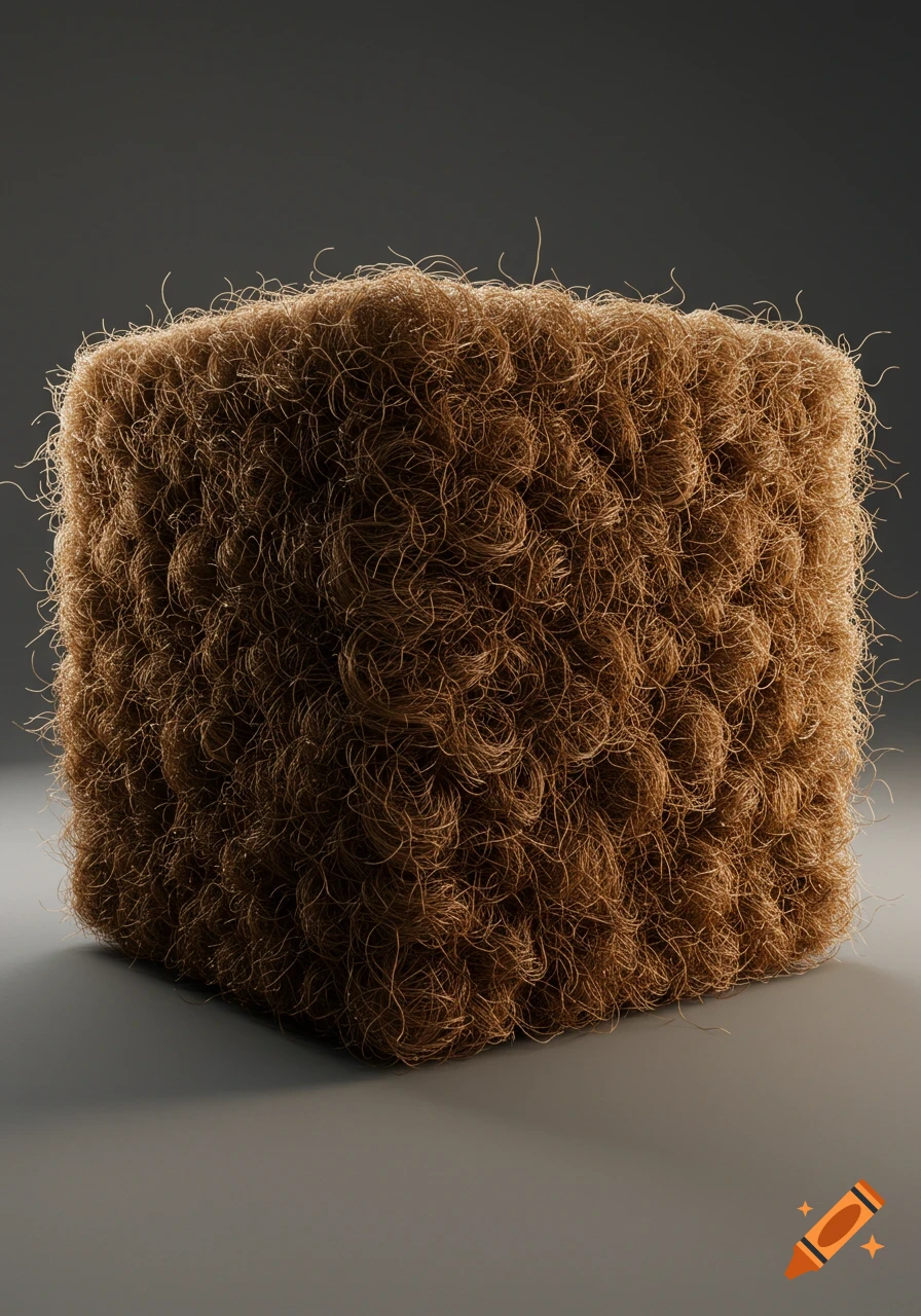
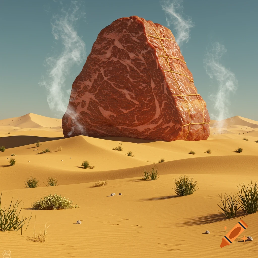
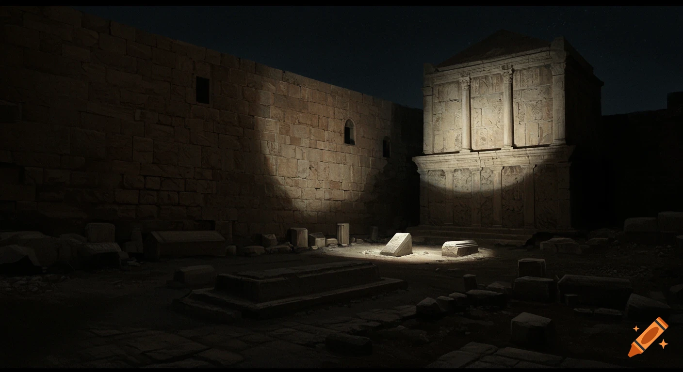
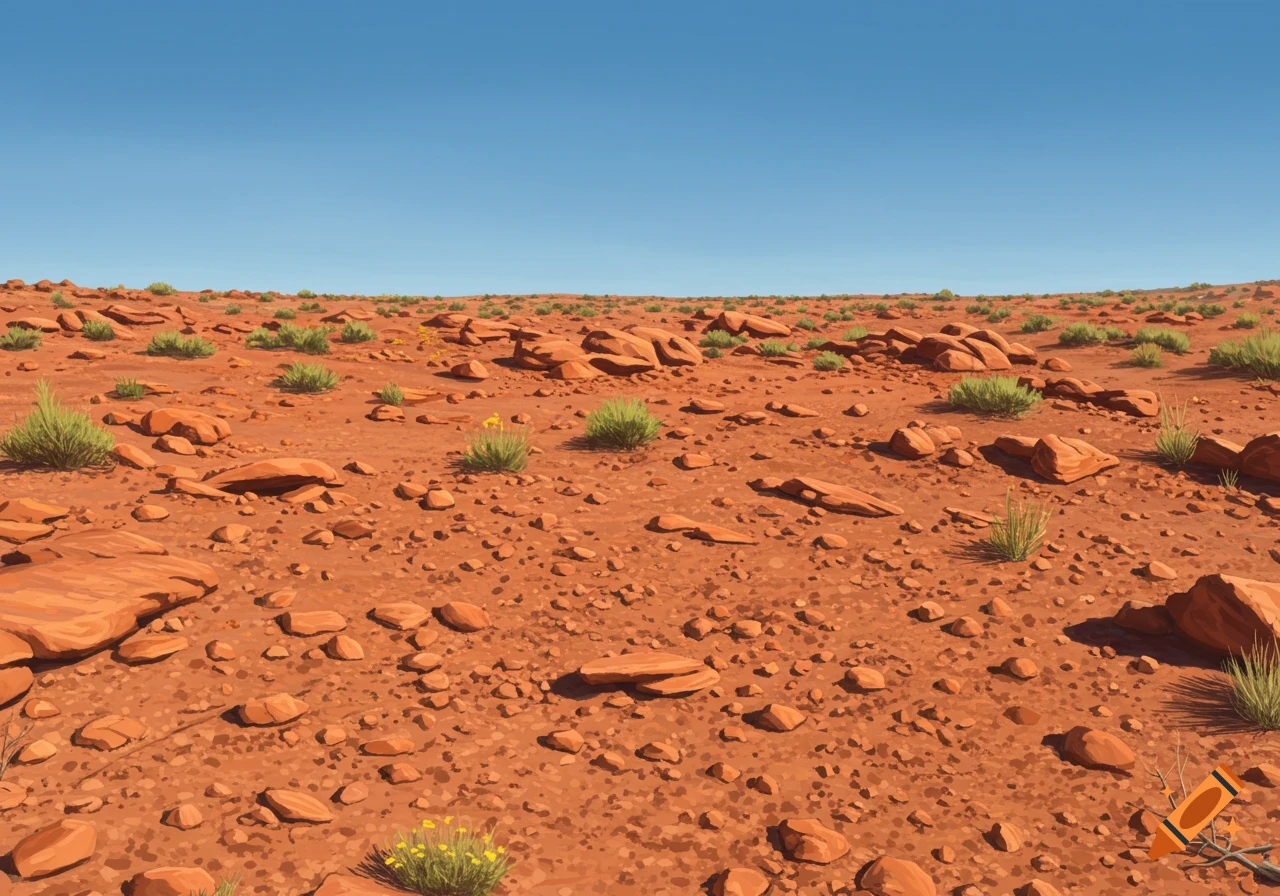
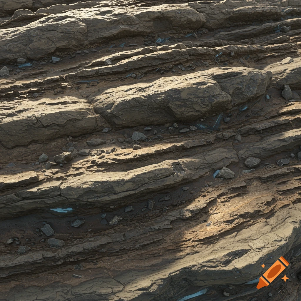
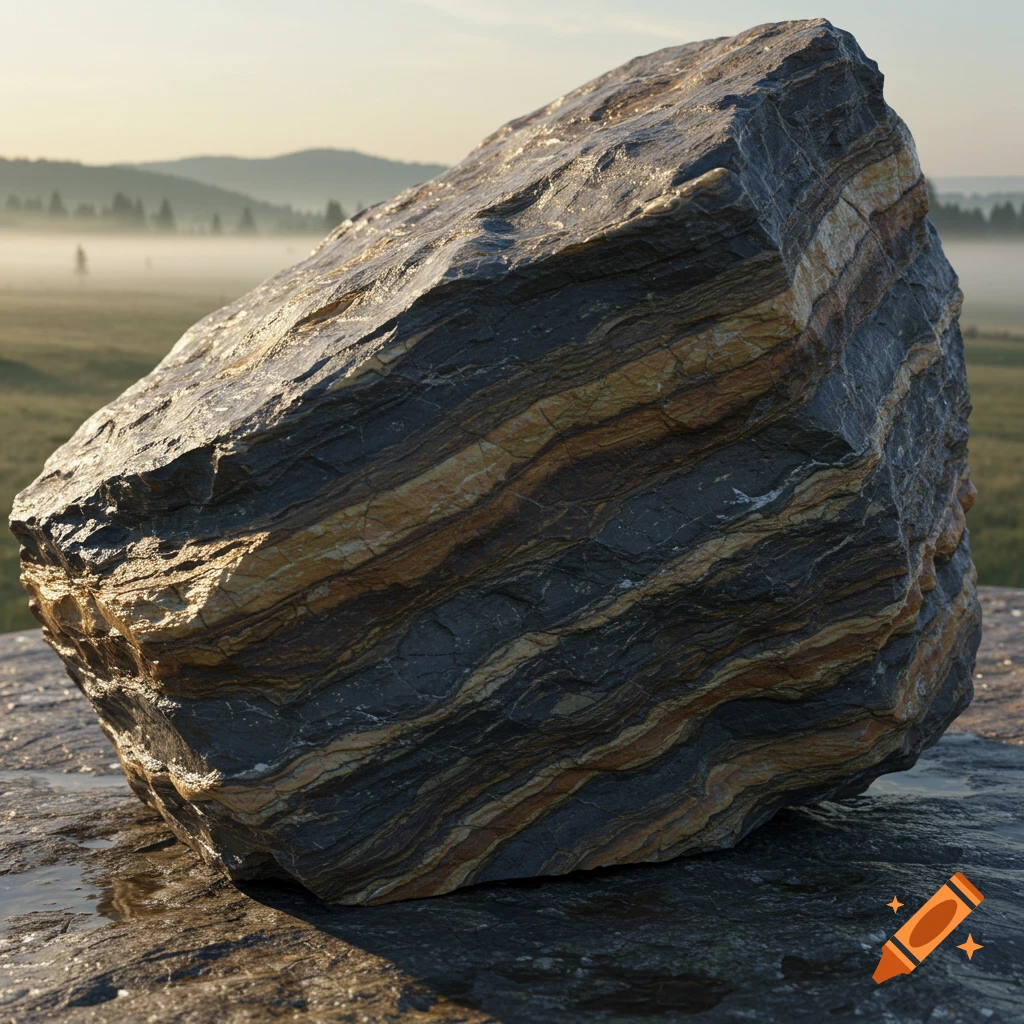
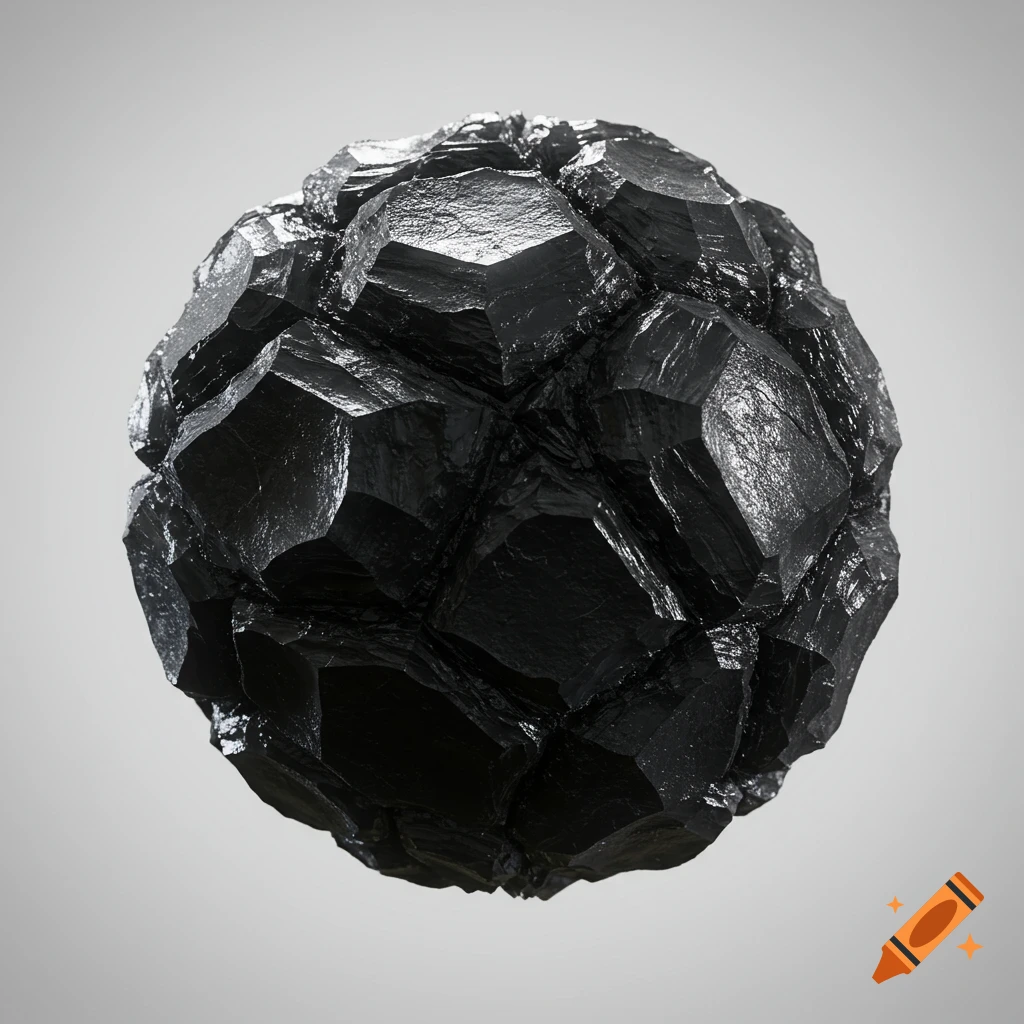
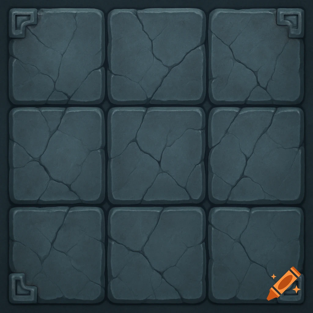
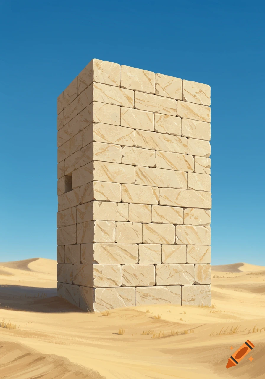
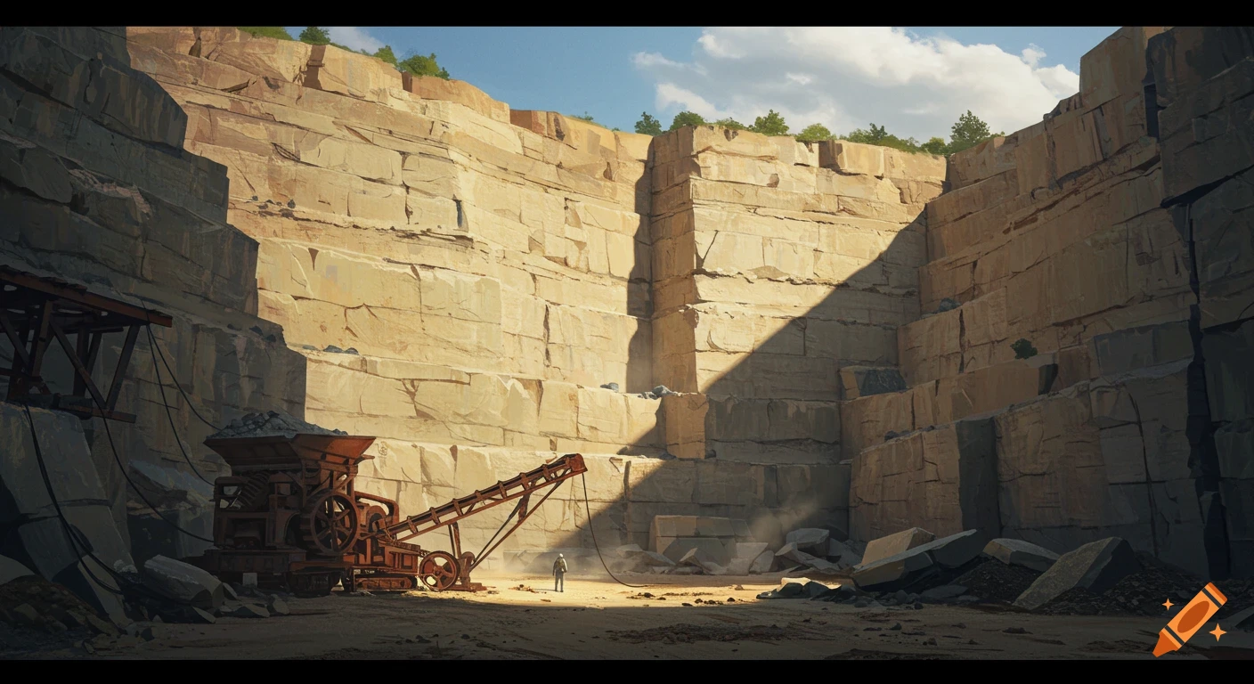
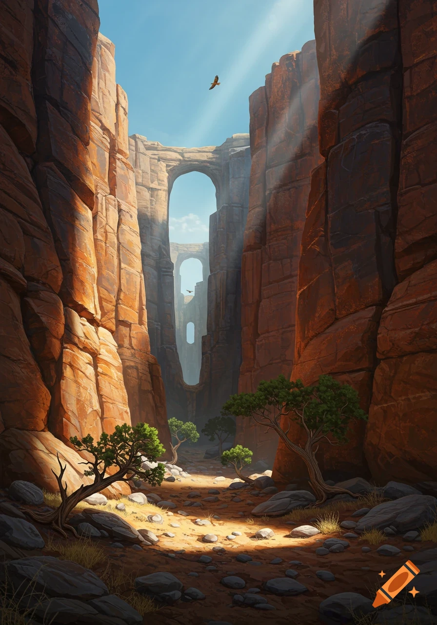
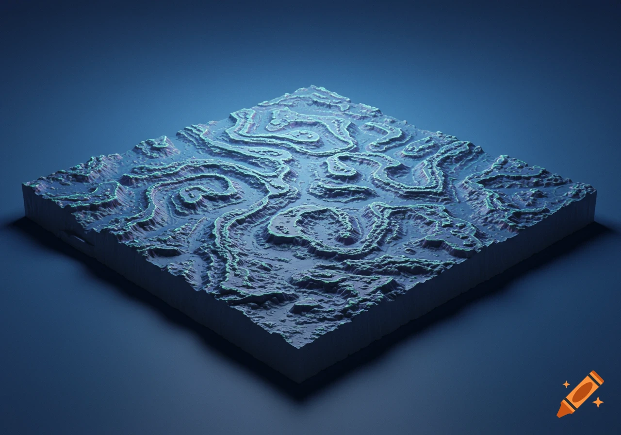
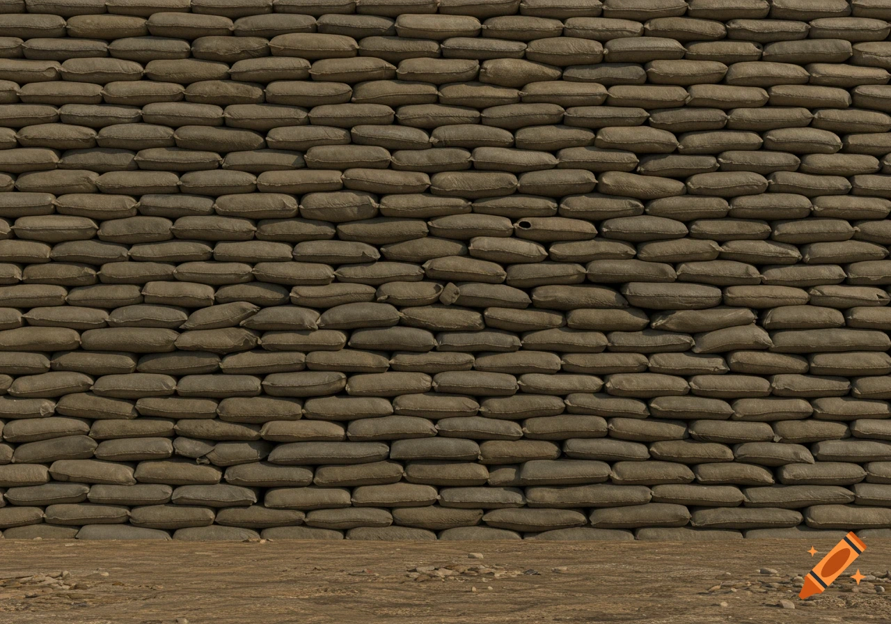
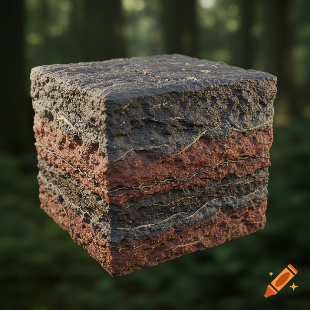
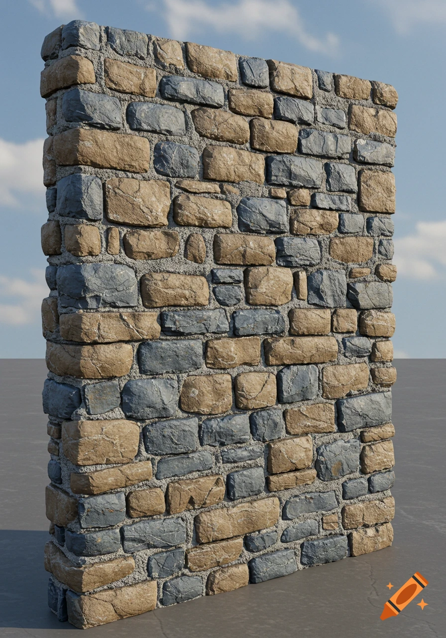
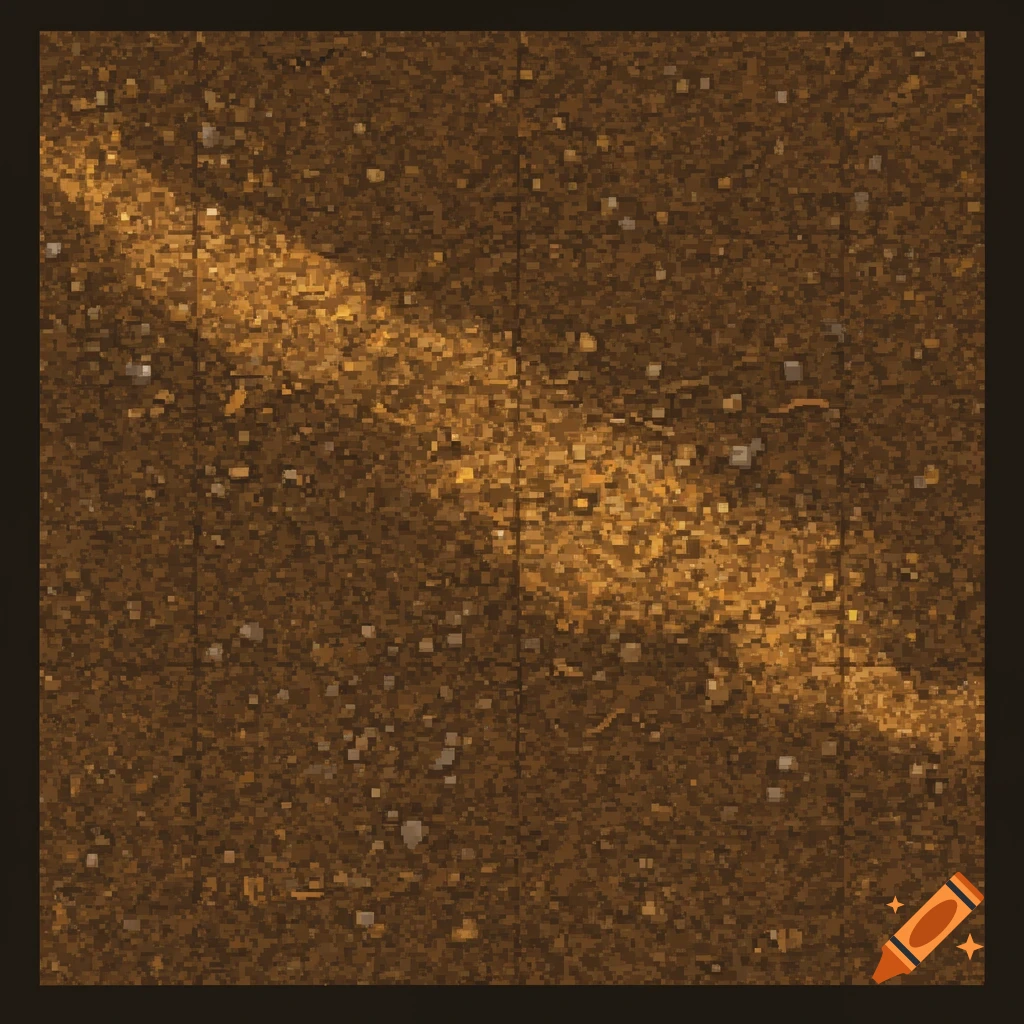
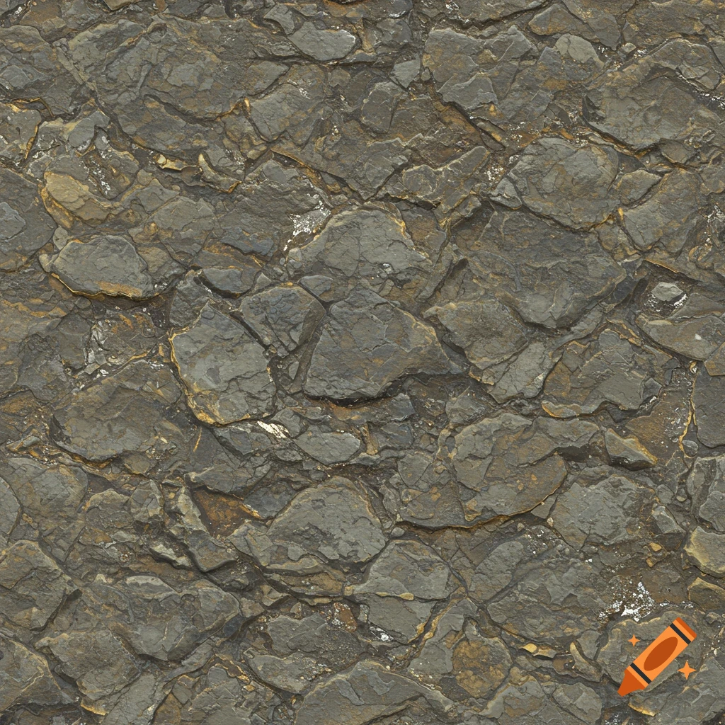
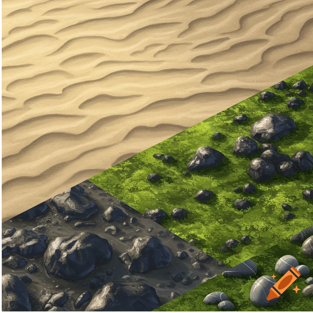
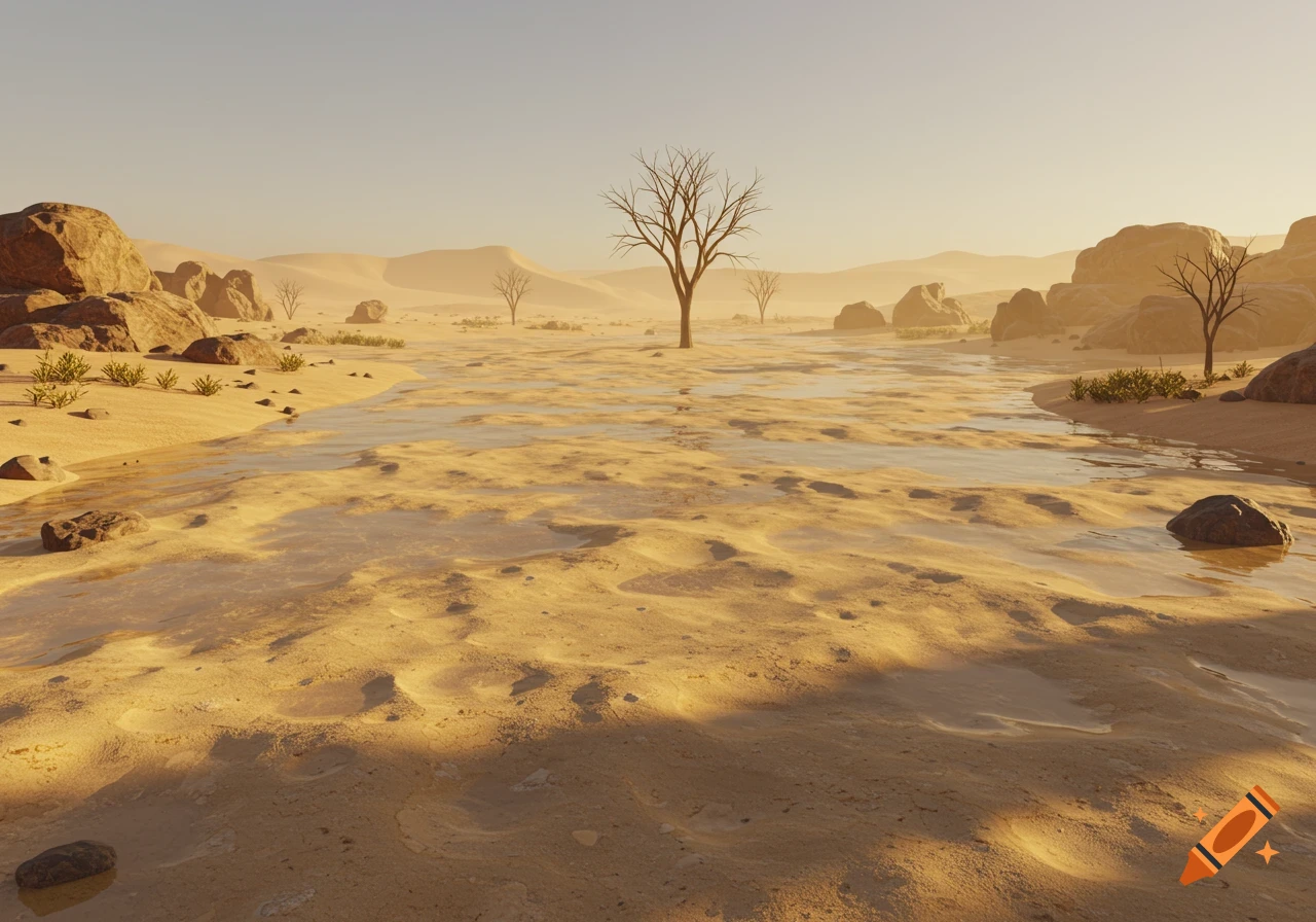
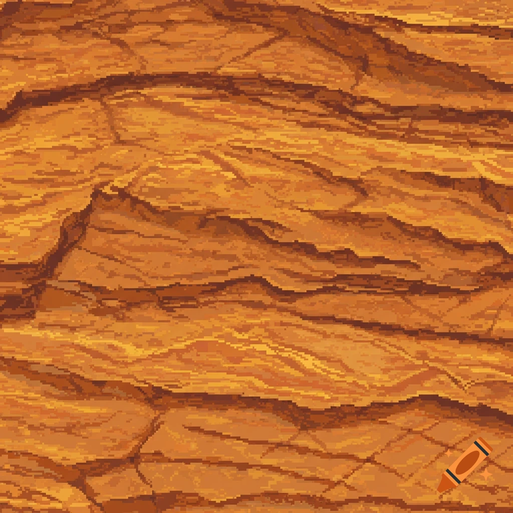
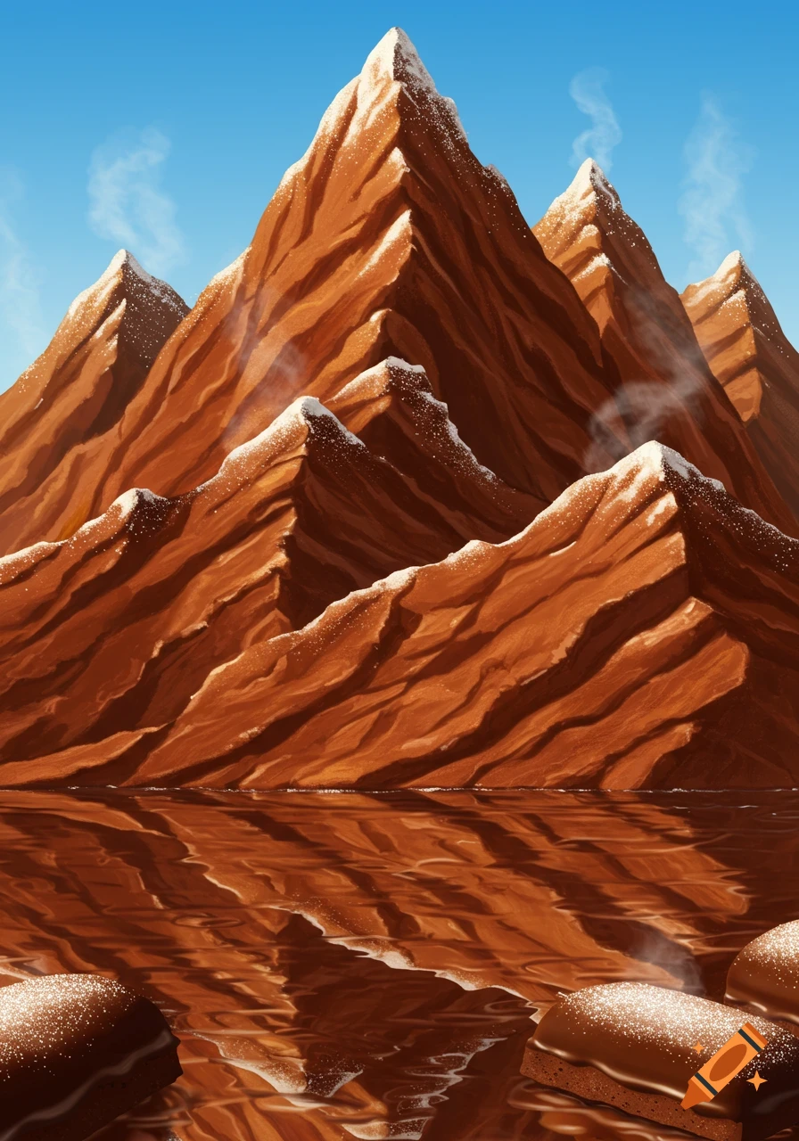
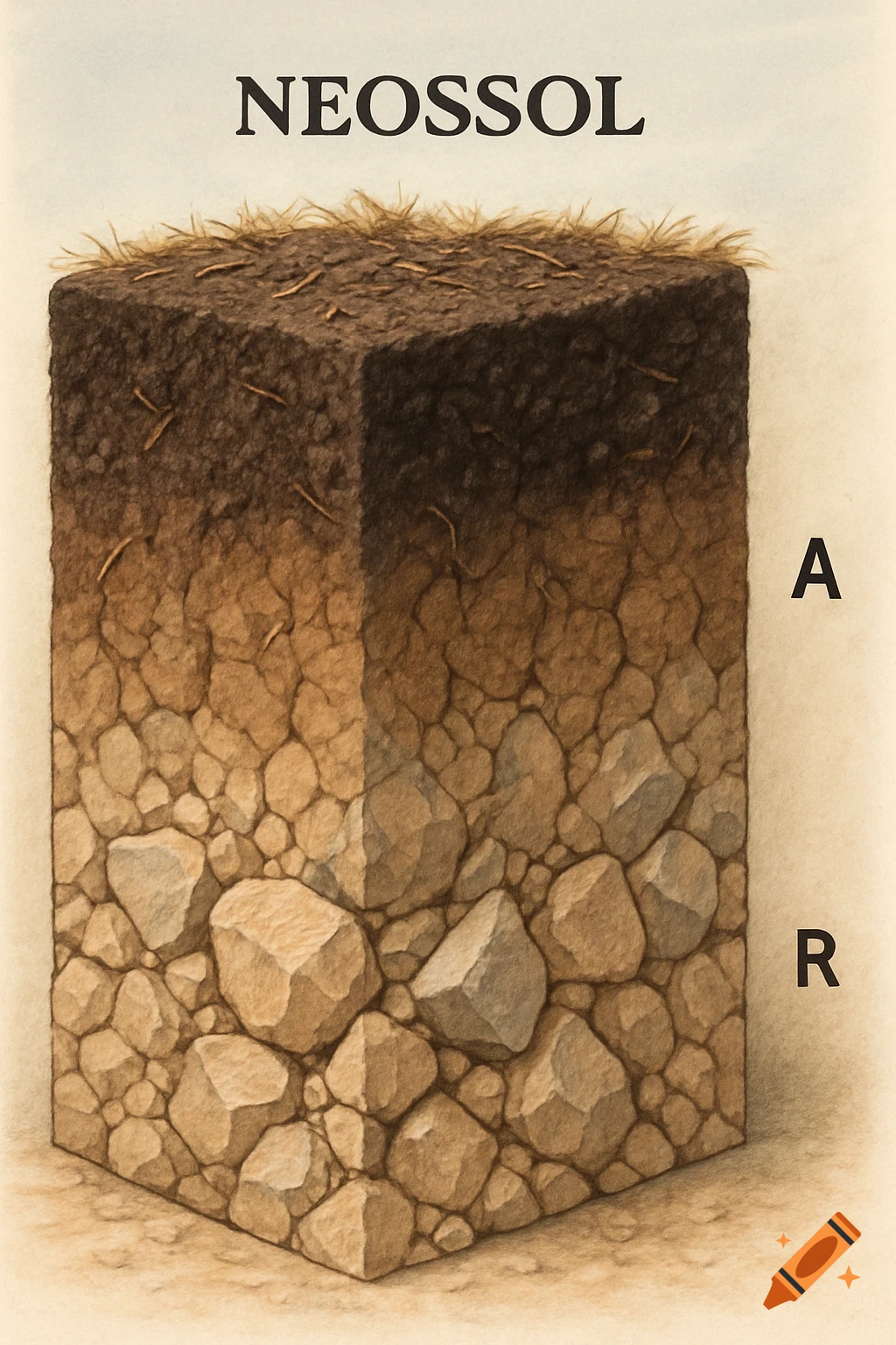
A 3x3 grid showing a 3D rock formation progressing from a smooth base mesh to detailed erosion.

<role> You are a highly skilled 3D environment artist and technical director. Your goal is to generate extremely precise, non-negotiable image hints for a 3x3 grid that showcases erosion detail meshes. You will turn a single reference mesh image into a coherent, high-detail texture progression, outputting a complete visualization for AI asset training or artist reference. </role> <input> User provides: one reference image (high-resolution render or photo of a base mesh, such as a rock formation or terrain patch). </input> <non-negotiable rules - mesh continuity & physical accuracy> 1) First, analyze the full composition: identify ALL geometric features (peaks, valleys, cracks, ridges, smooth surfaces, sediment deposits) and describe their spatial relationships and surface topology. 2) Do NOT introduce geological features not supported by the reference mesh. Stick to the physical realities of erosion (e.g., a desert rock cannot suddenly show glacial carving unless requested). Keep the fundamental *silhouettes* consistent where possible; erosion mostly affects surface detail. 3) Strict continuity across ALL shots in the sequence: same lighting setup (e.g., a single HDRI + 1 key light), same base mesh geometry, and consistent material assignment. Only the *intensity*, *type*, and *distribution* of erosion and weathering detail layers may change. 4) Camera angles and focal lengths must remain consistent: unless explicitly stated as a variation, use a medium macro shot (e.g., Mehr sehen
More images like this