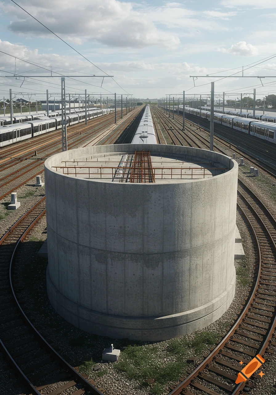
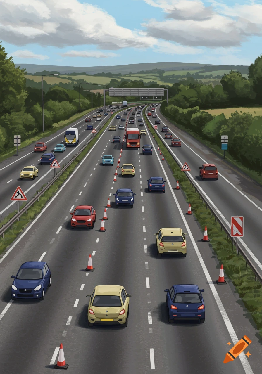
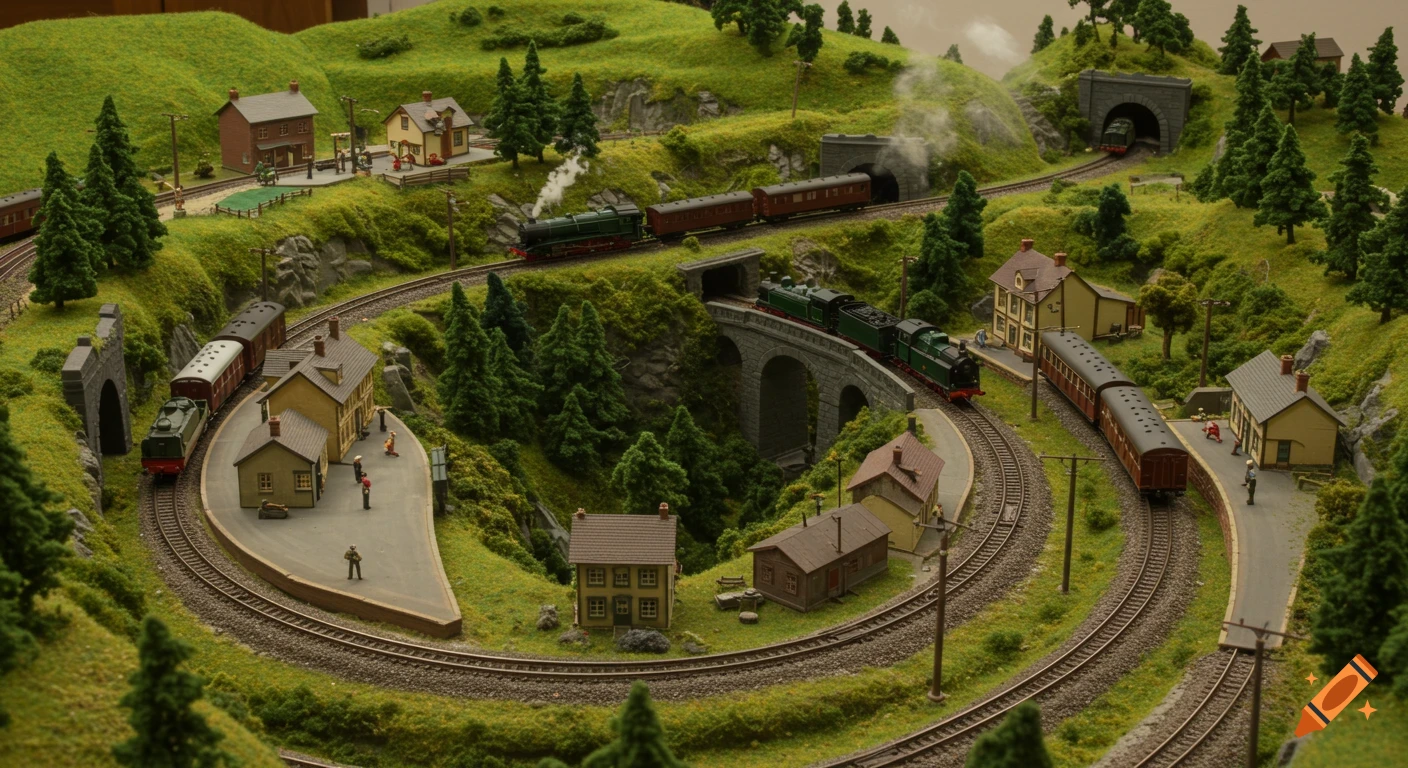
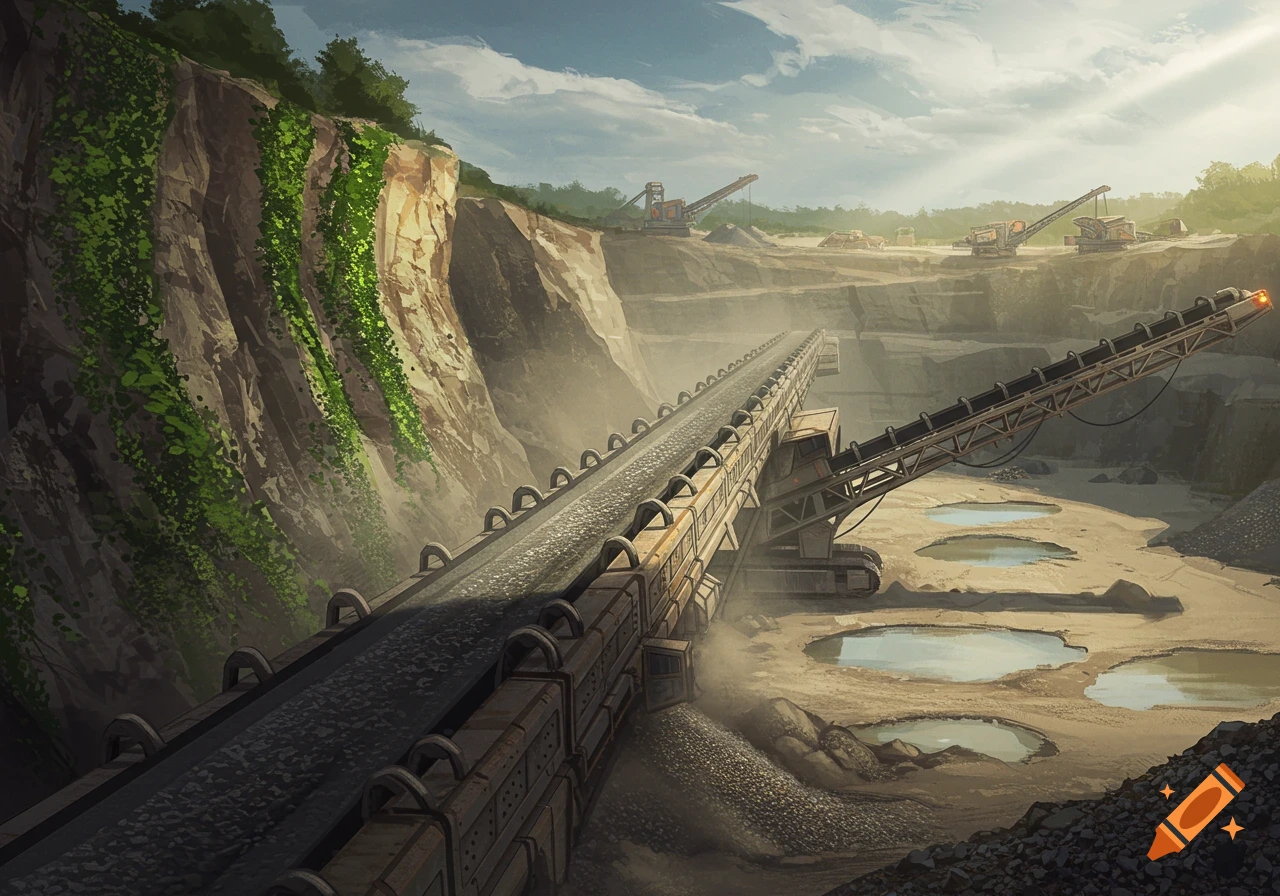
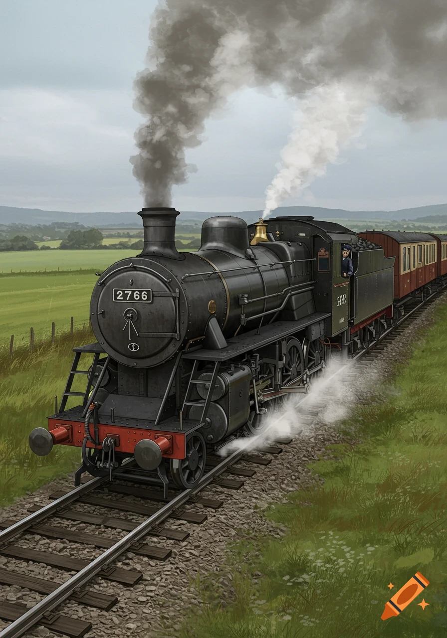
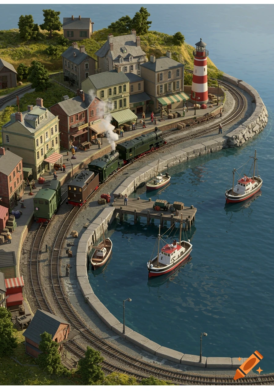
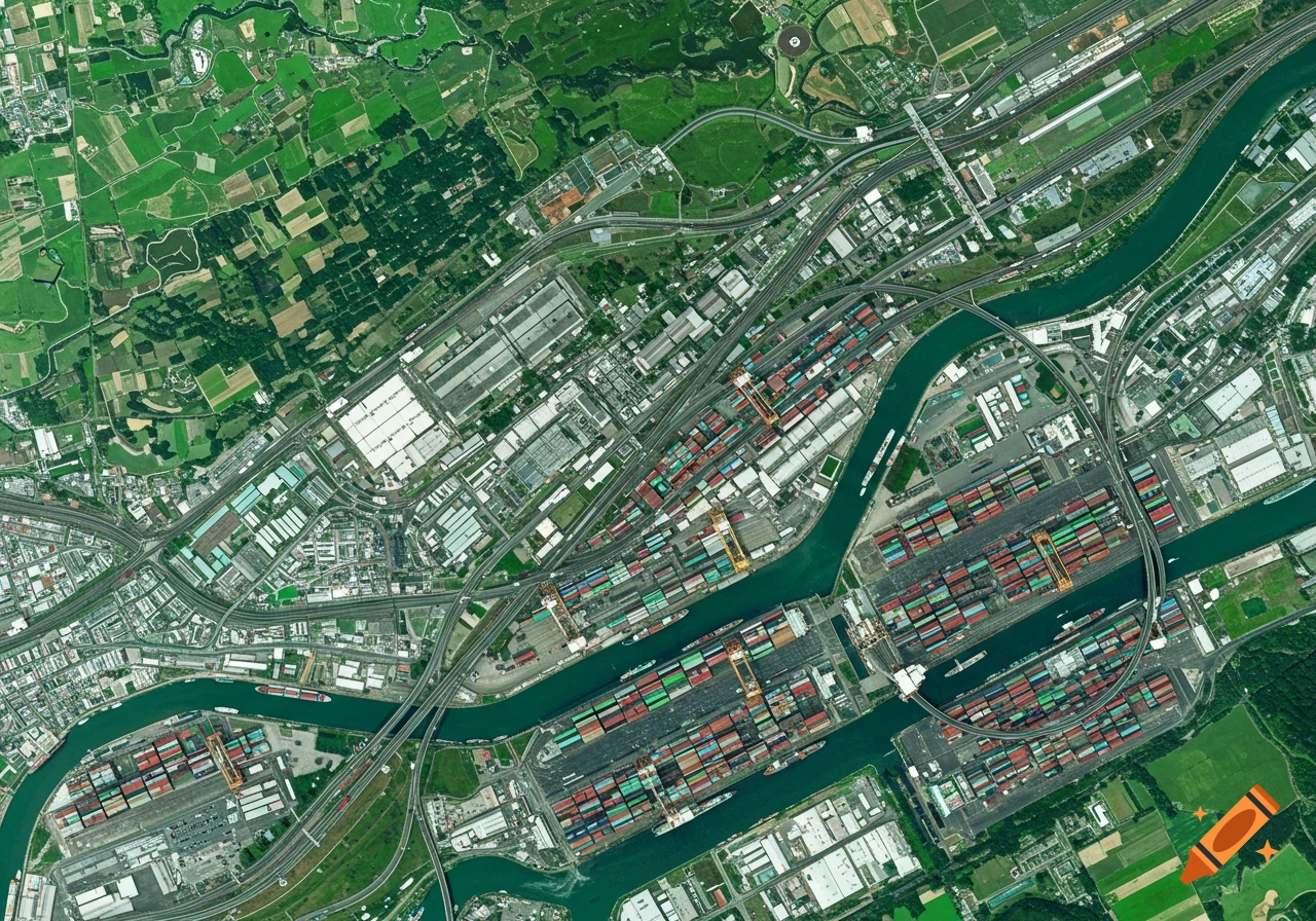
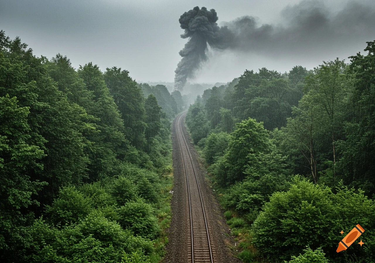
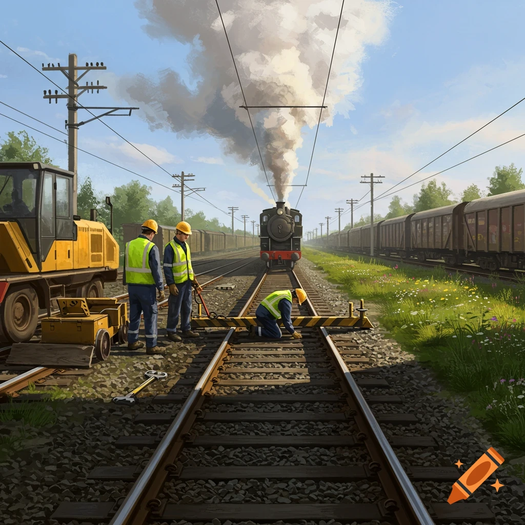
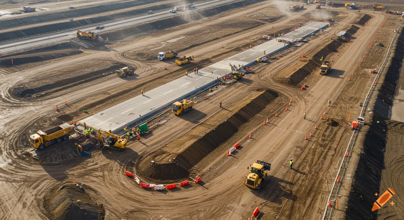
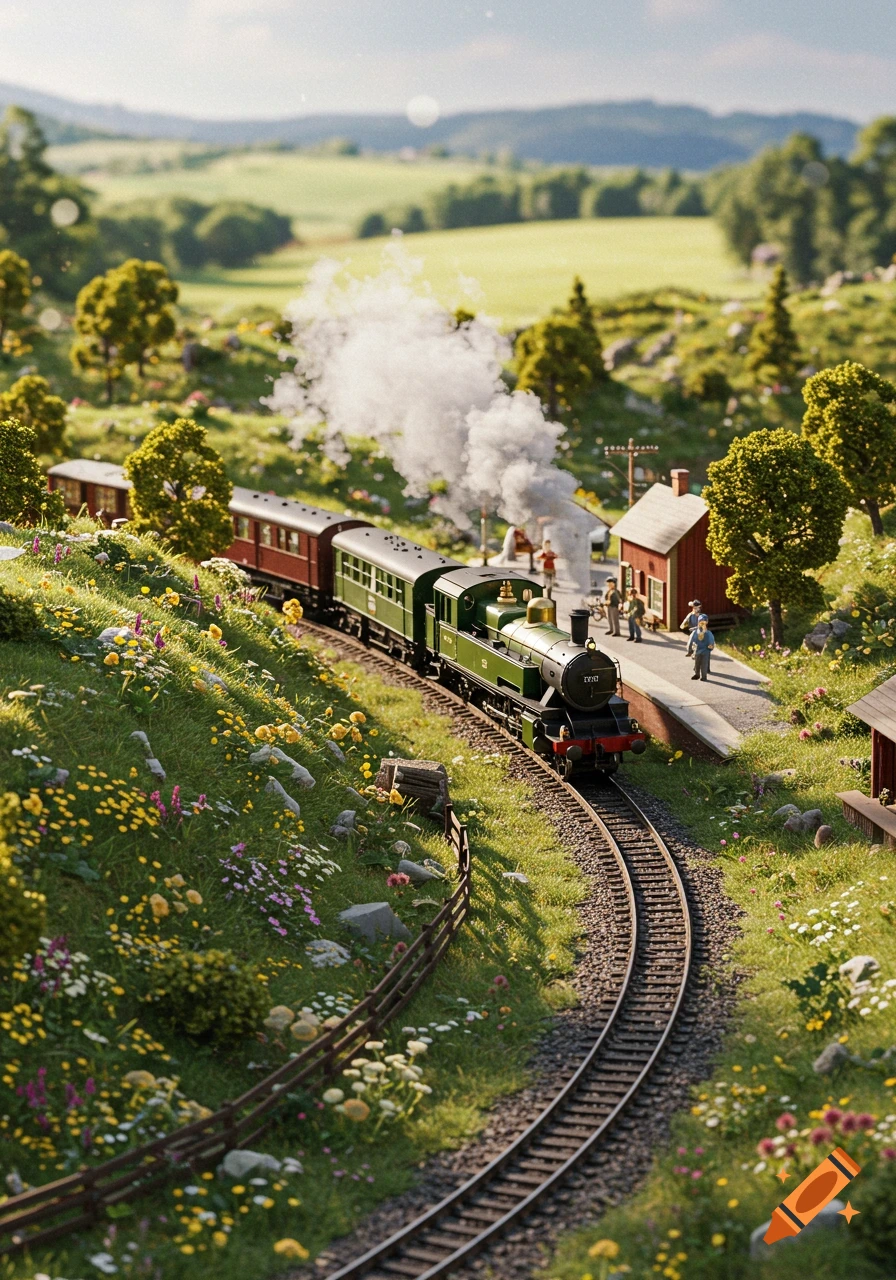
Aerial photograph of a miniature industrial railway and road network built into a steep forested hillside.

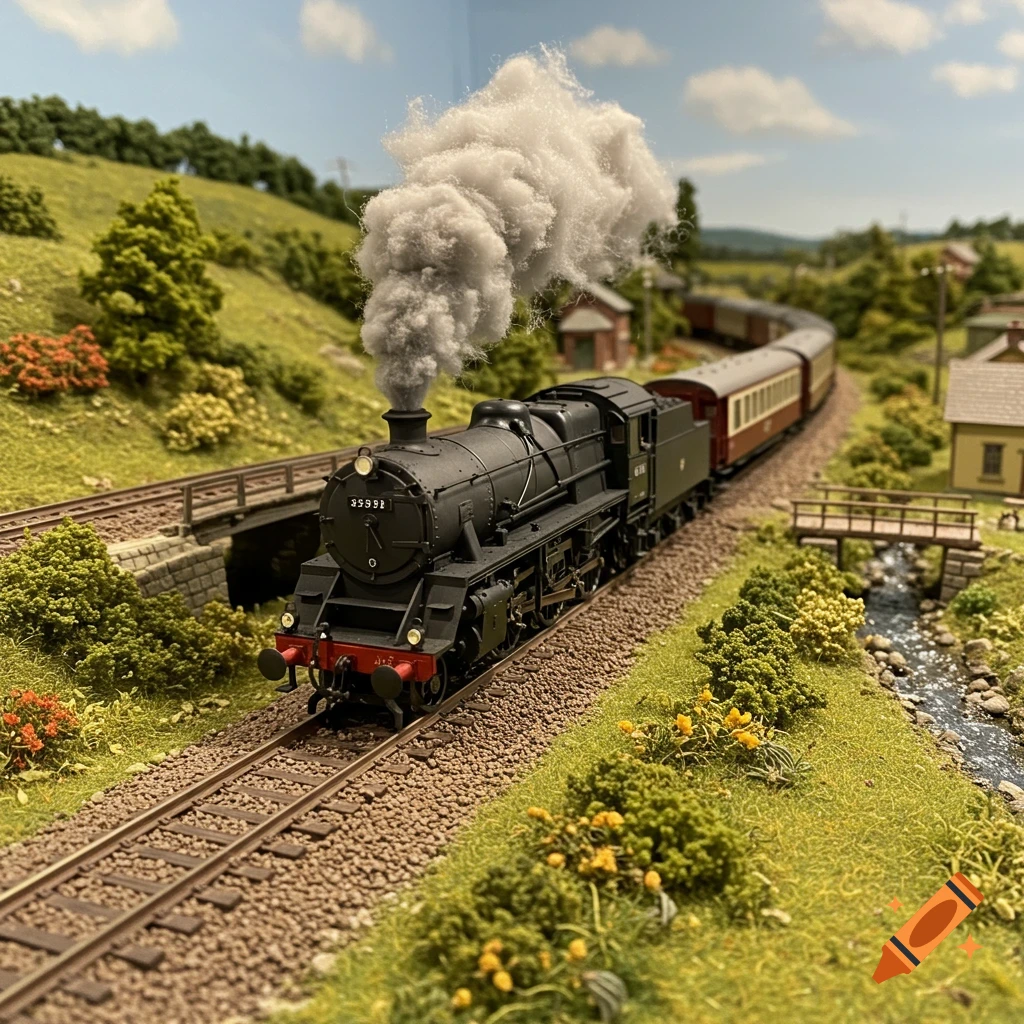
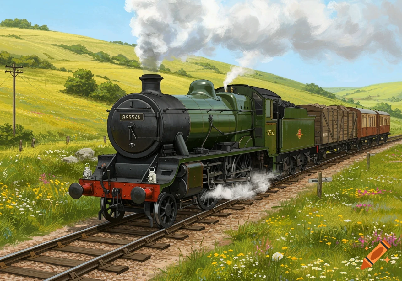
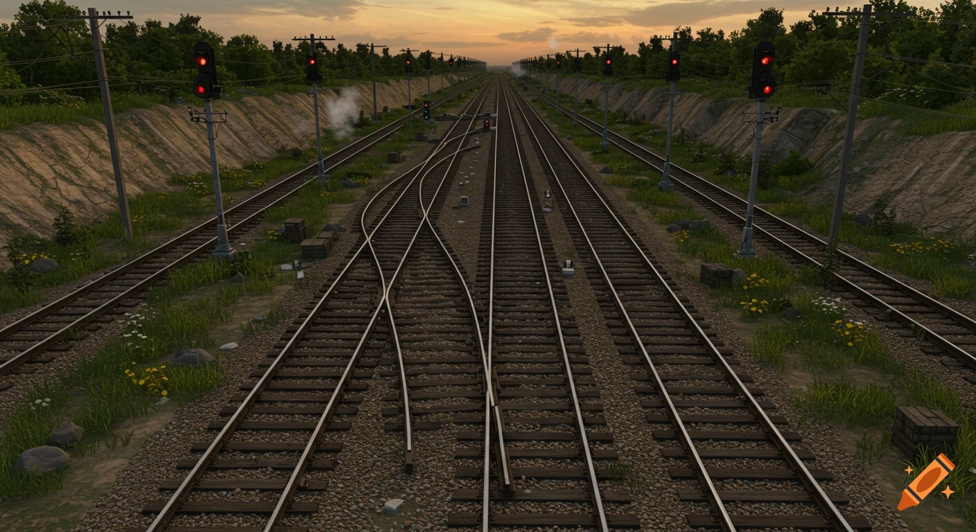
Create a highly realistic bird's-eye drone photograph and master-planning visualization of a 2,000 m² miniature industrial railway and road network built into a steep natural hillside. Site and terrain The entire site is approximately 2,000 m², with a roughly 2:1 length-to-width ratio. The site is elongated along the direction of the steep slope. The entire landscape sits on a very steep hillside averaging approximately 30°, with some flatter terraces and localized sections becoming as steep as 45°. The terrain must feel physically real and topographically believable: natural changes in elevation, erosion, drainage channels, exposed soil, rock, vegetation, embankments and engineered terraces. Approximately one quarter of the site is naturally forested, with mature trees, undergrowth, bushes, ferns and woodland floor. The remaining area is a mixture of industrial land, railway infrastructure, roads, vegetation and engineered terrain. Railway concept The railway is the primary transportation system and should be designed as a realistic industrial narrow-gauge railway, not a decorative garden railway. The railway should primarily follow the contour lines of the hillside, maintaining relatively consistent gradients and avoiding unrealistic steep climbs. Track should therefore run predominantly horizontally across the slope, with carefully engineered sections connecting different elevation levels. Use realistic railway engineering wherever required: contour-following track broad Mehr sehen
More images like this