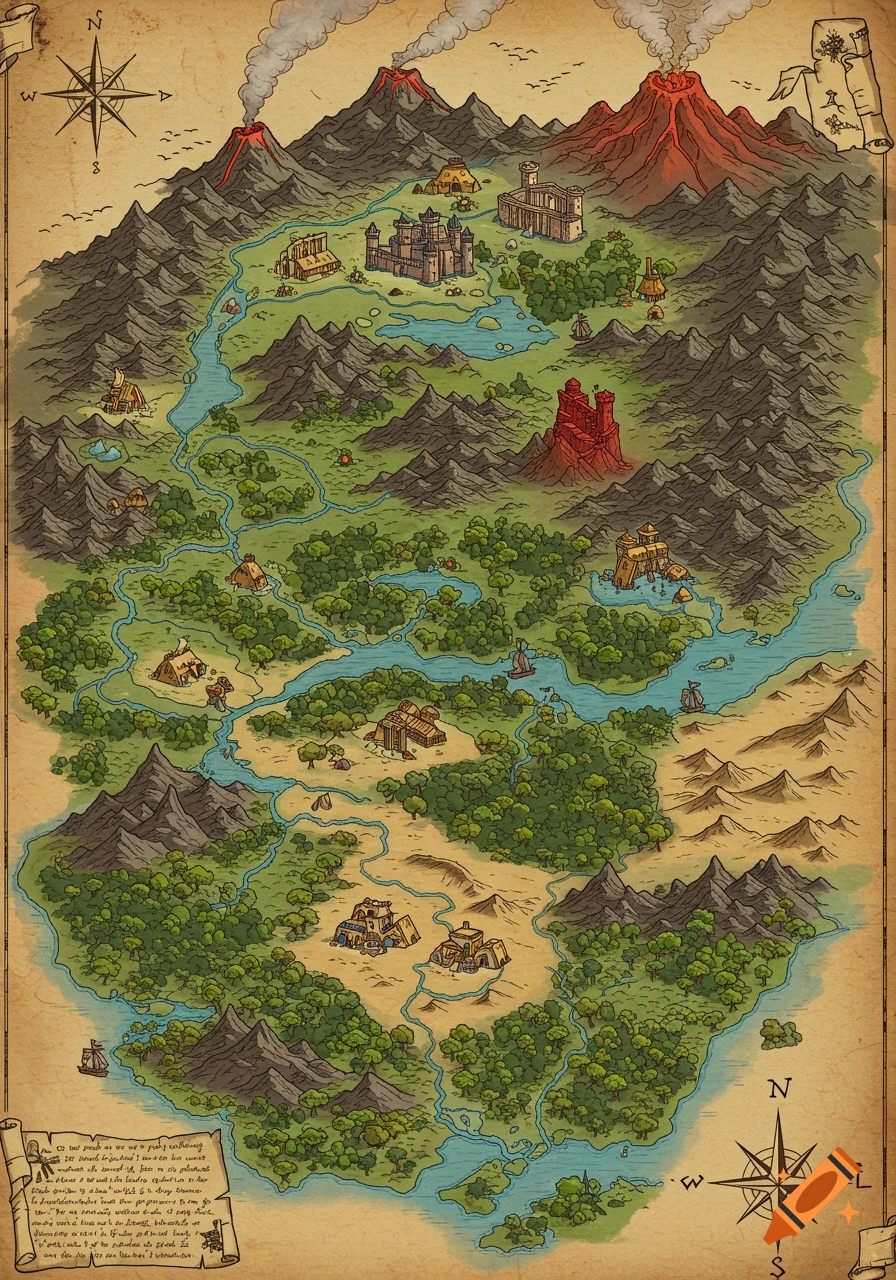
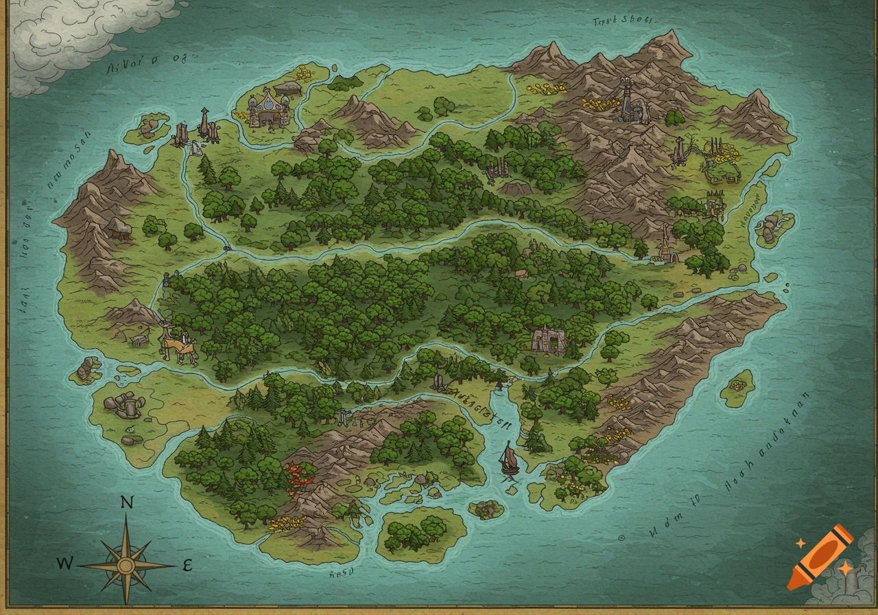
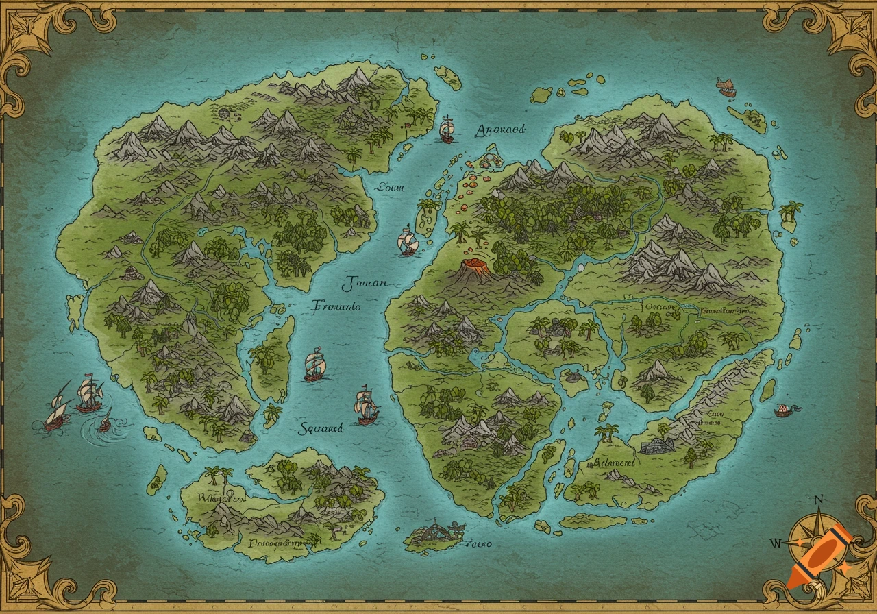
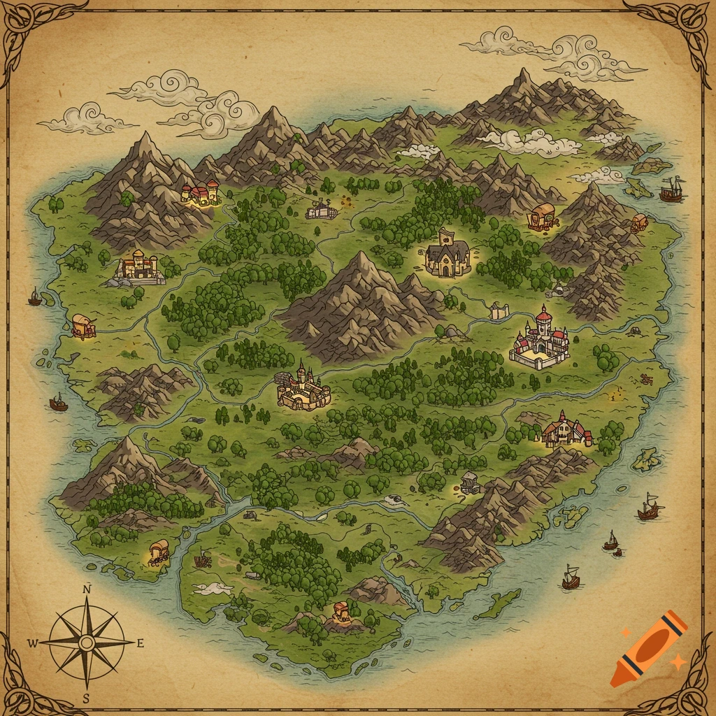
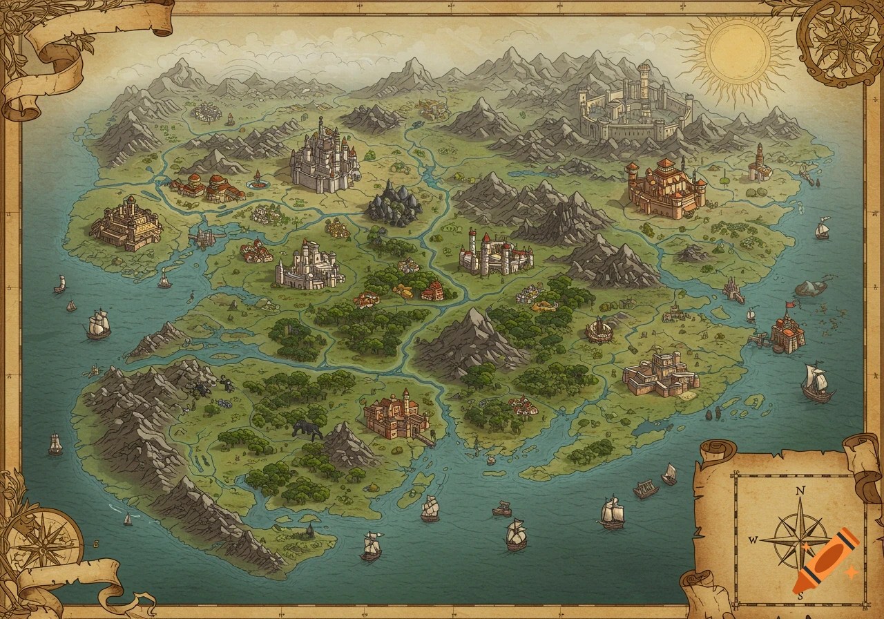
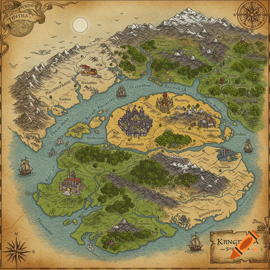
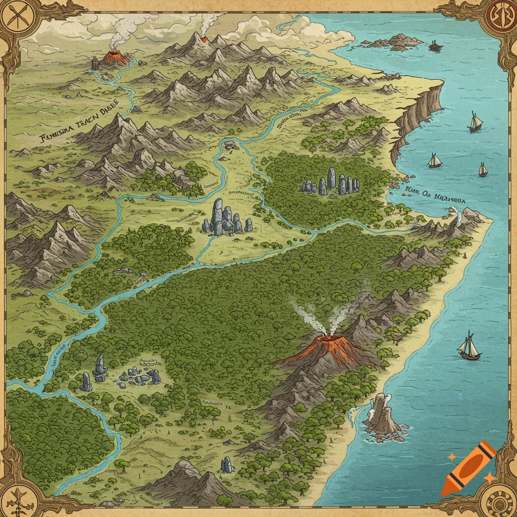
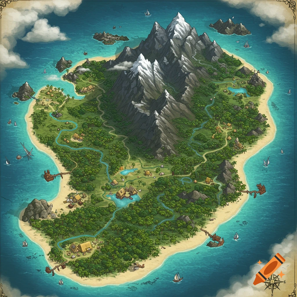
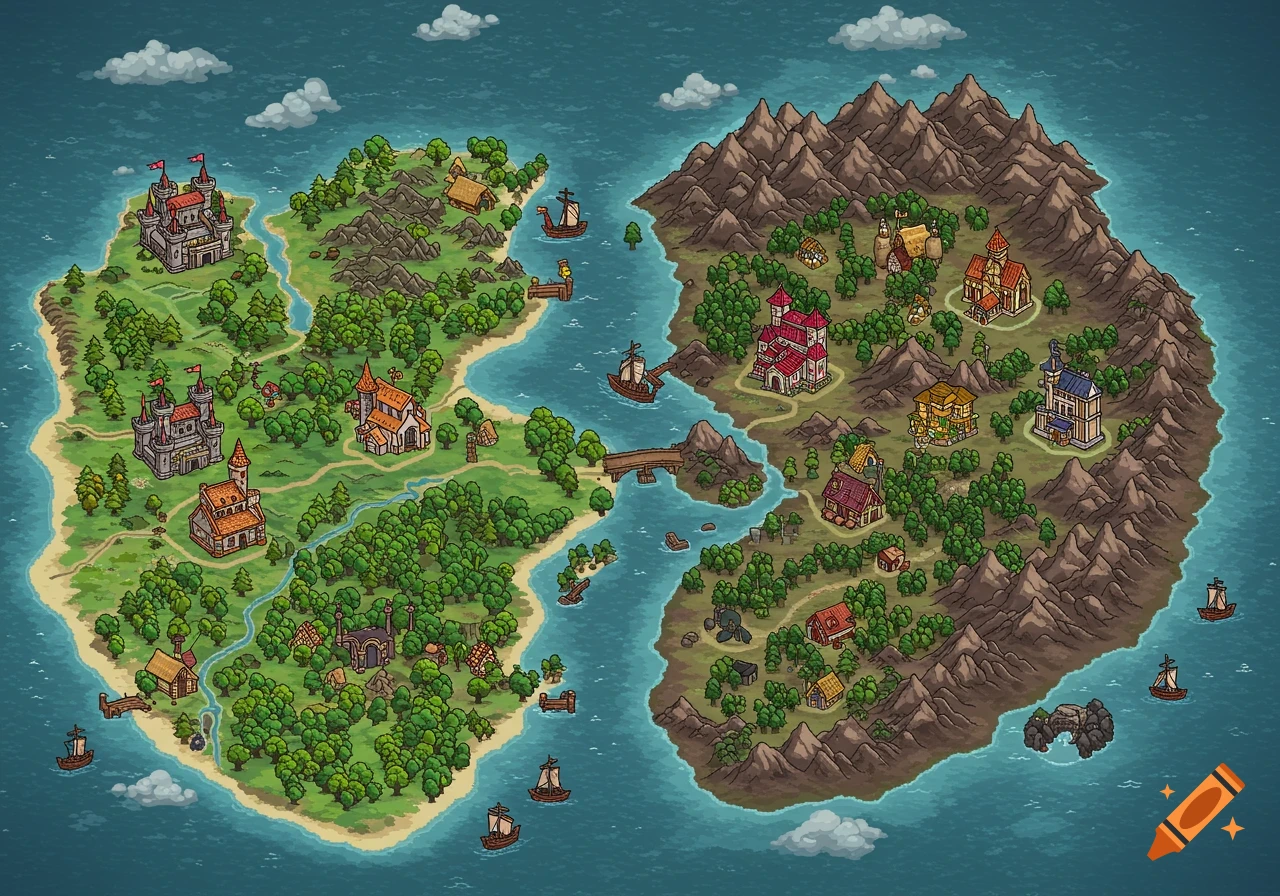
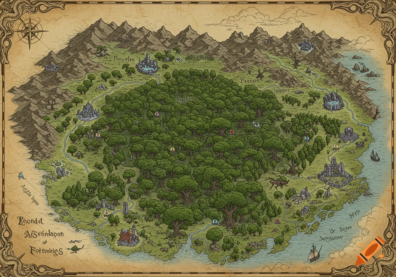
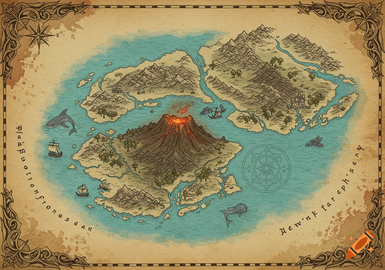
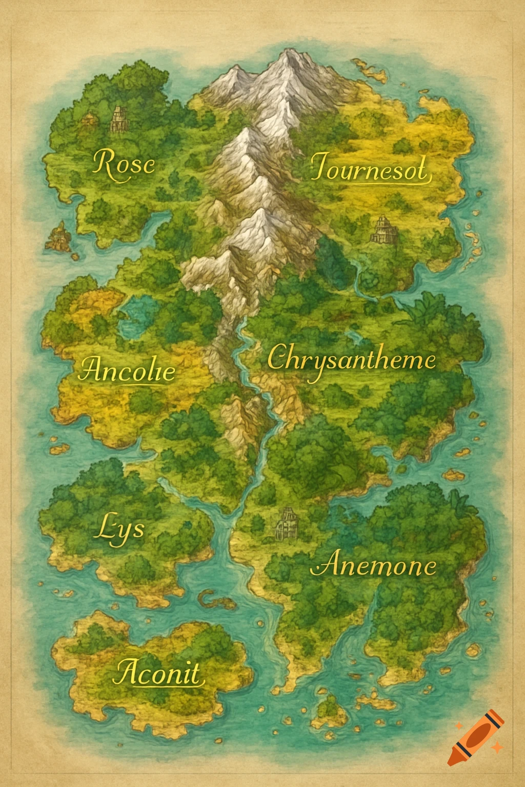
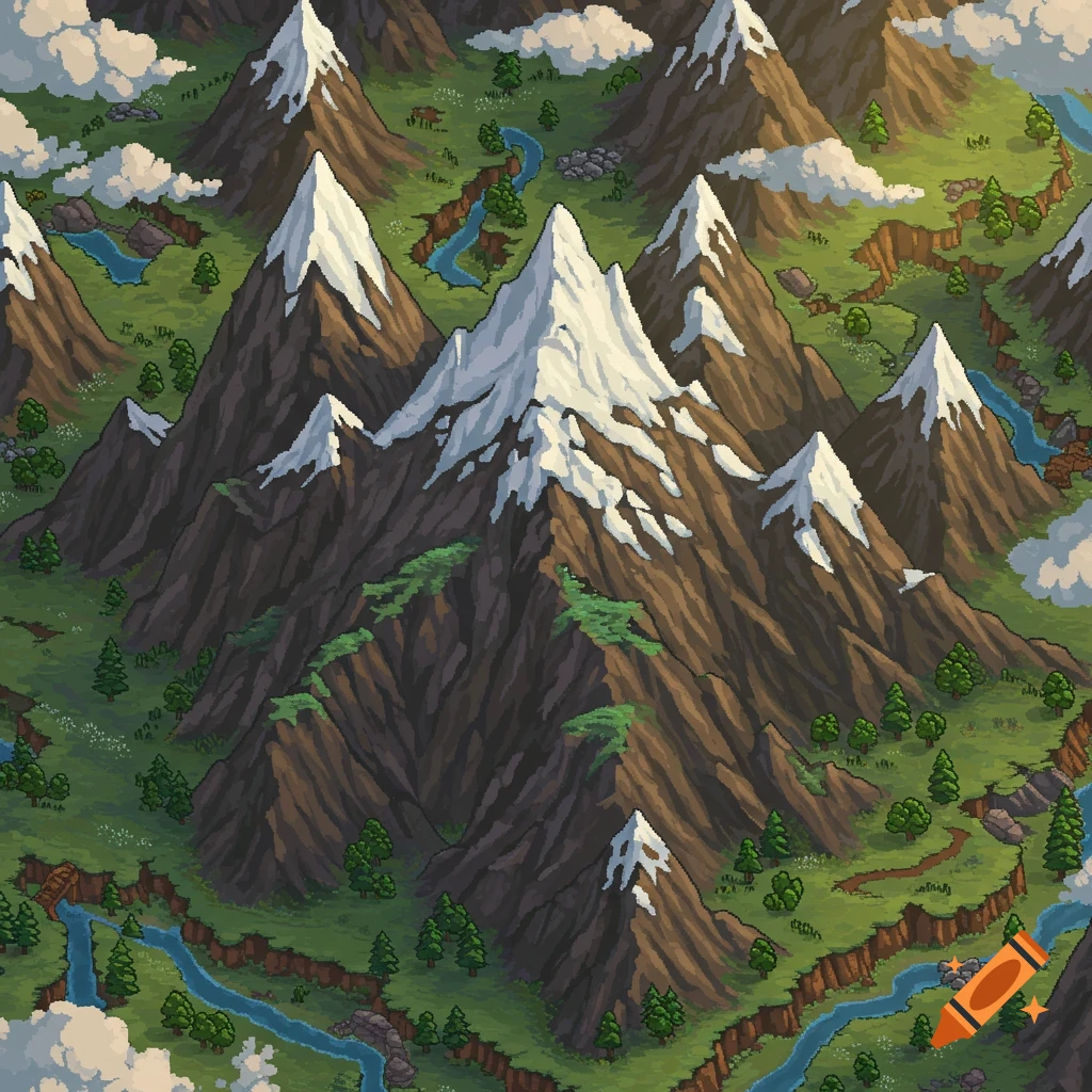
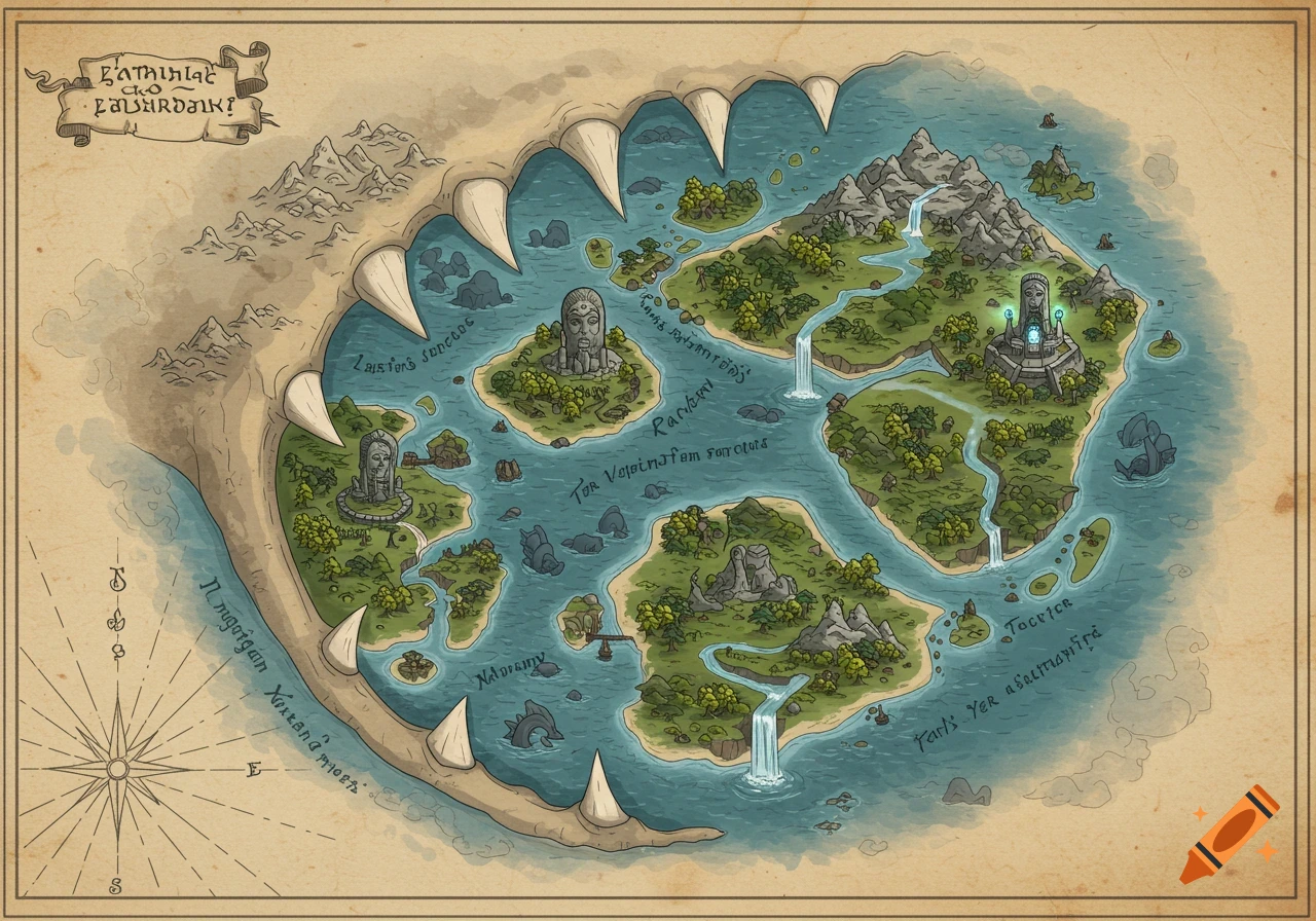
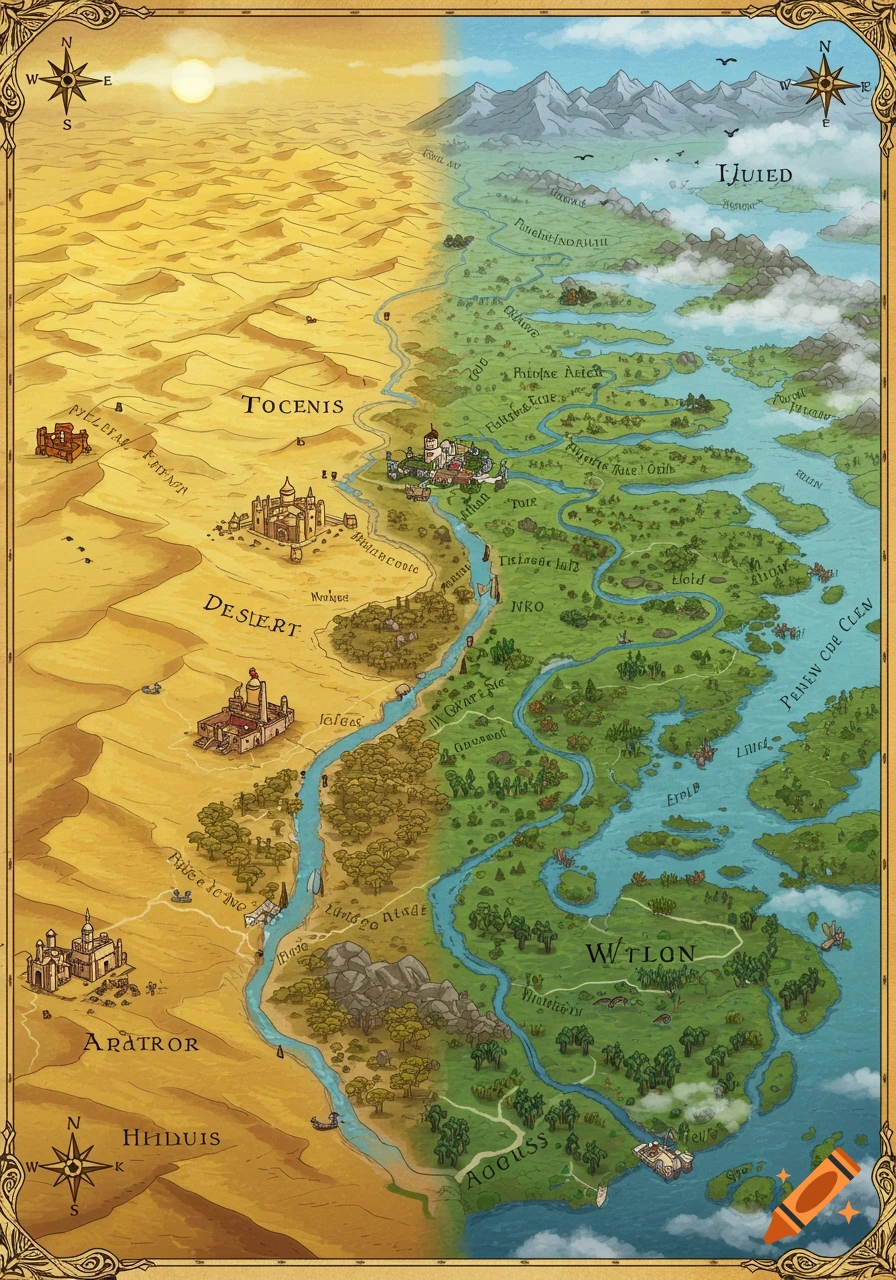
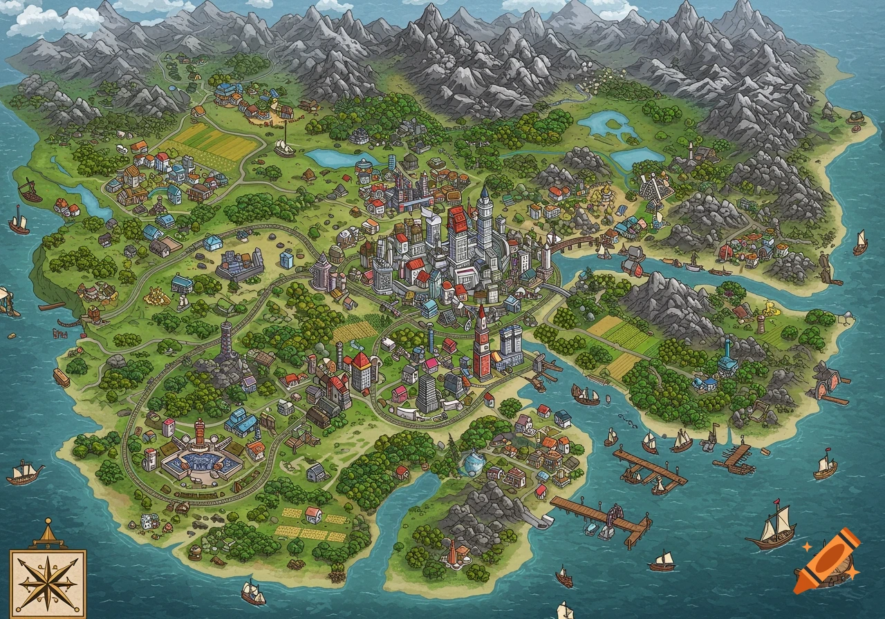
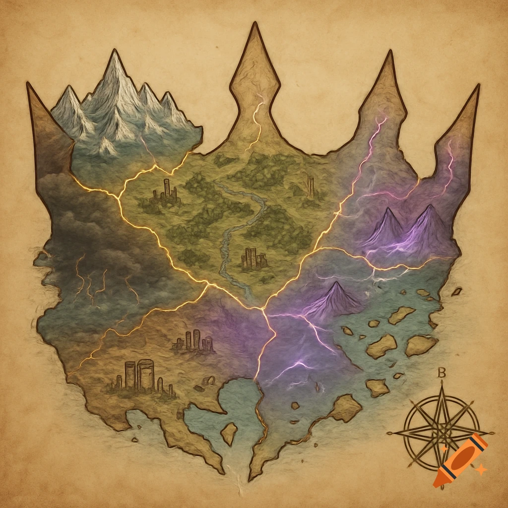
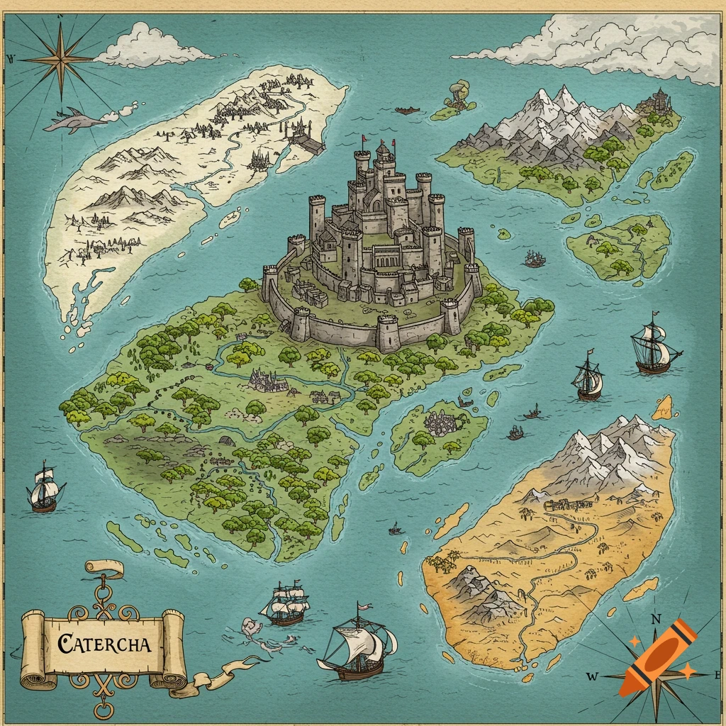
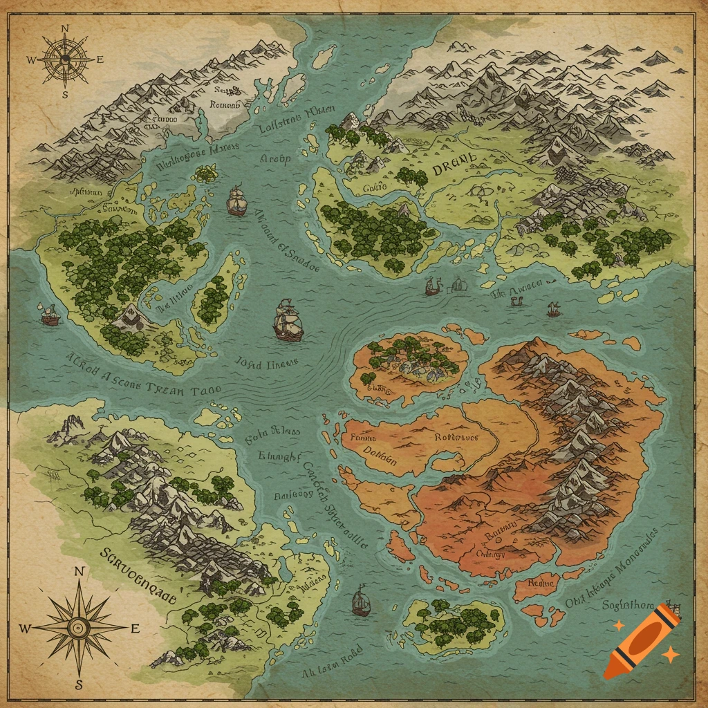
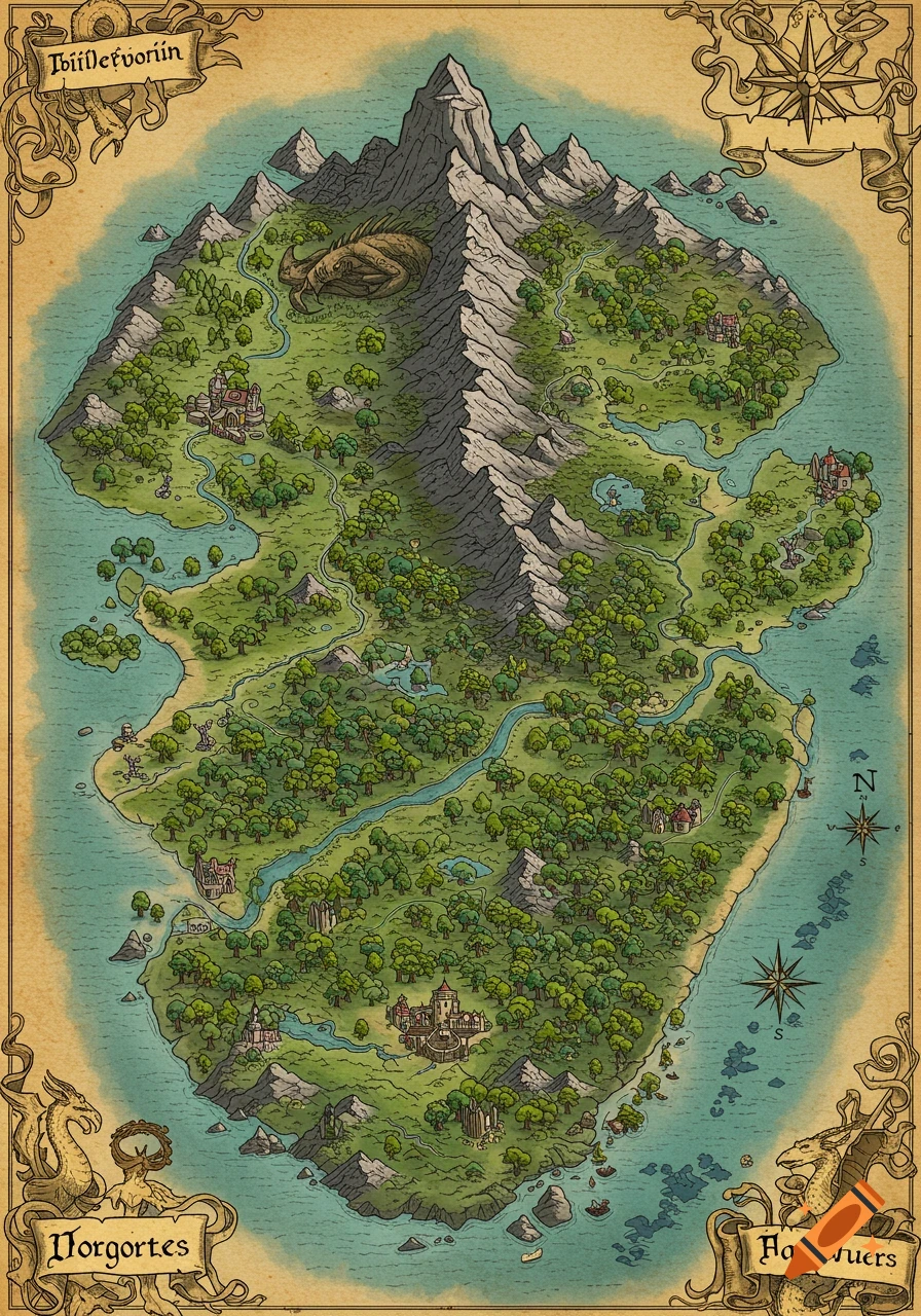
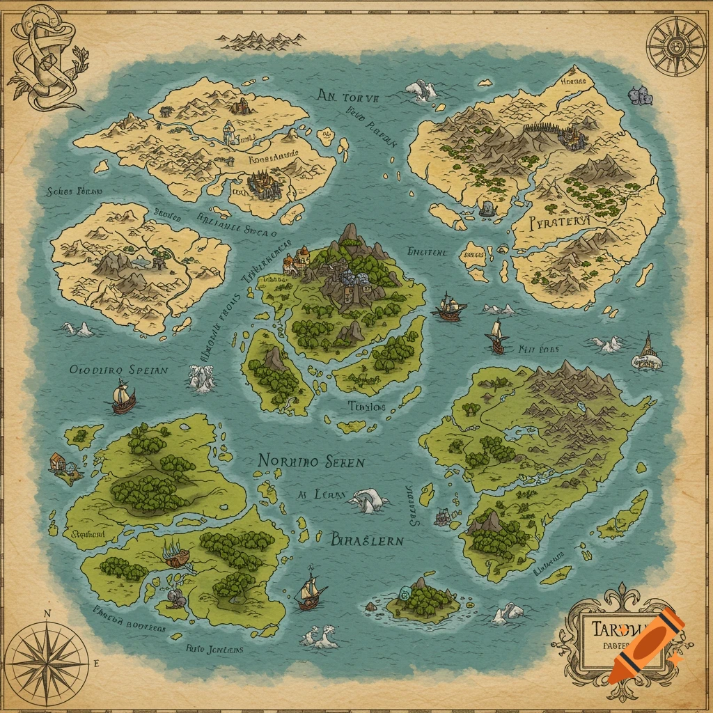
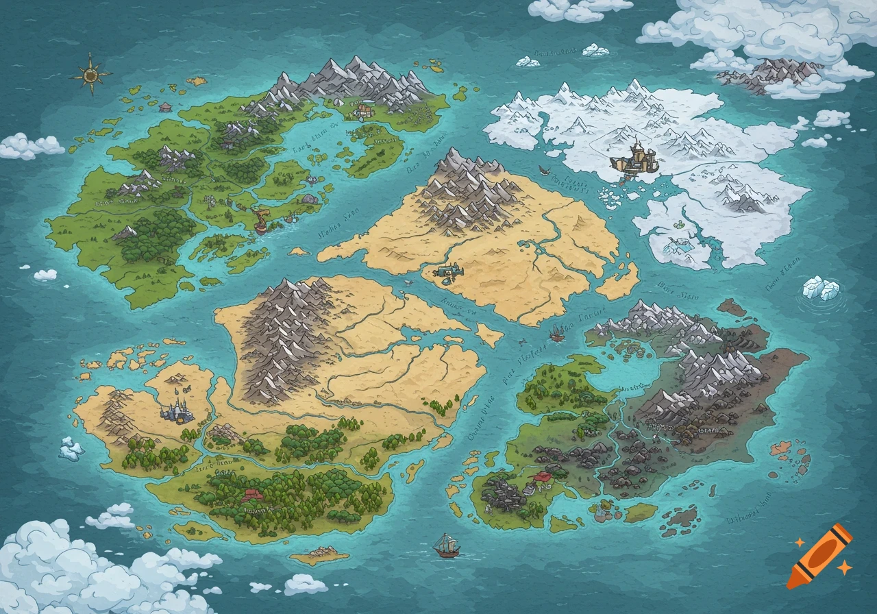
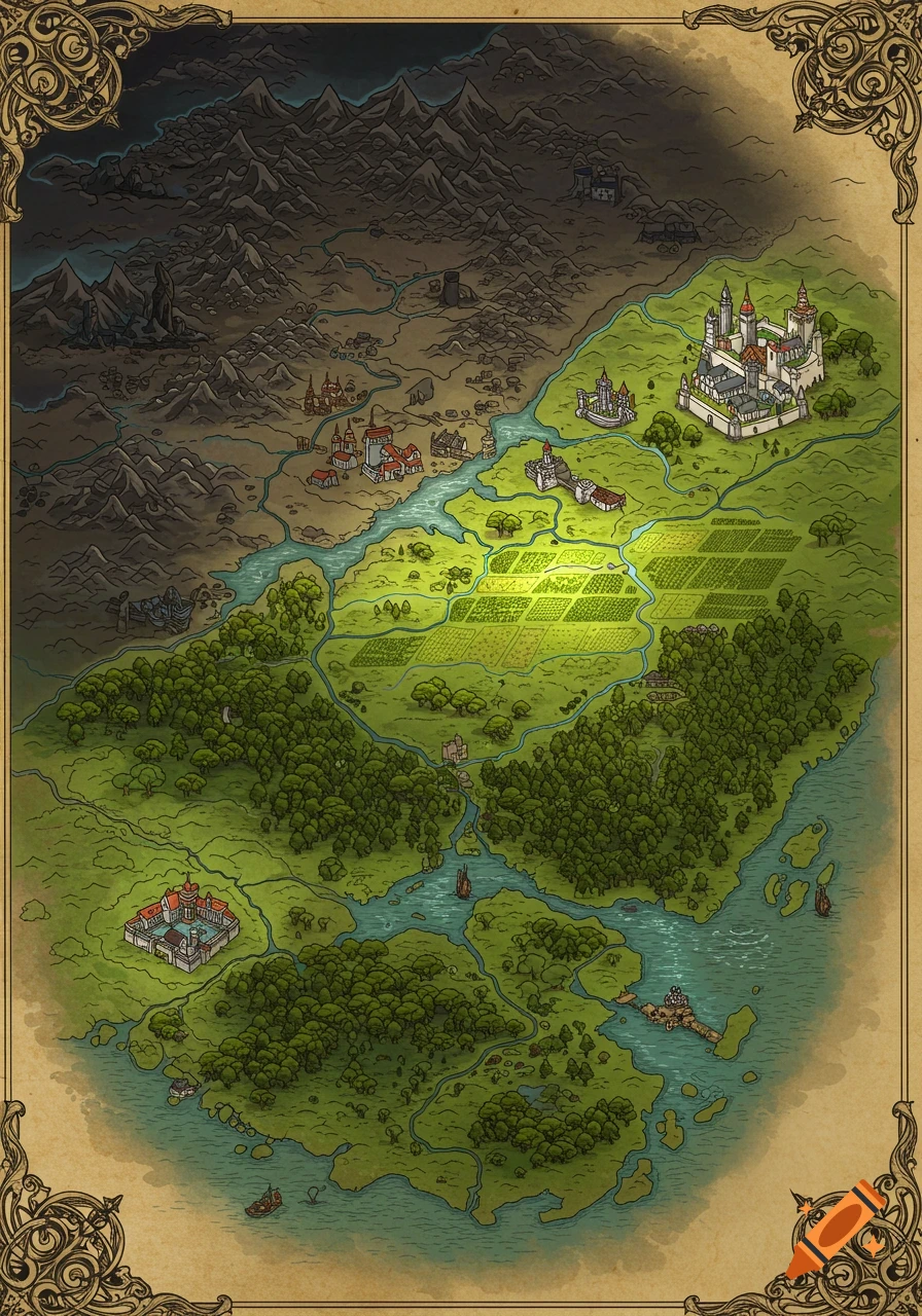
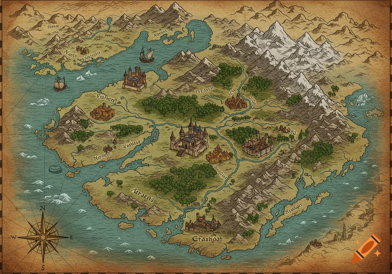
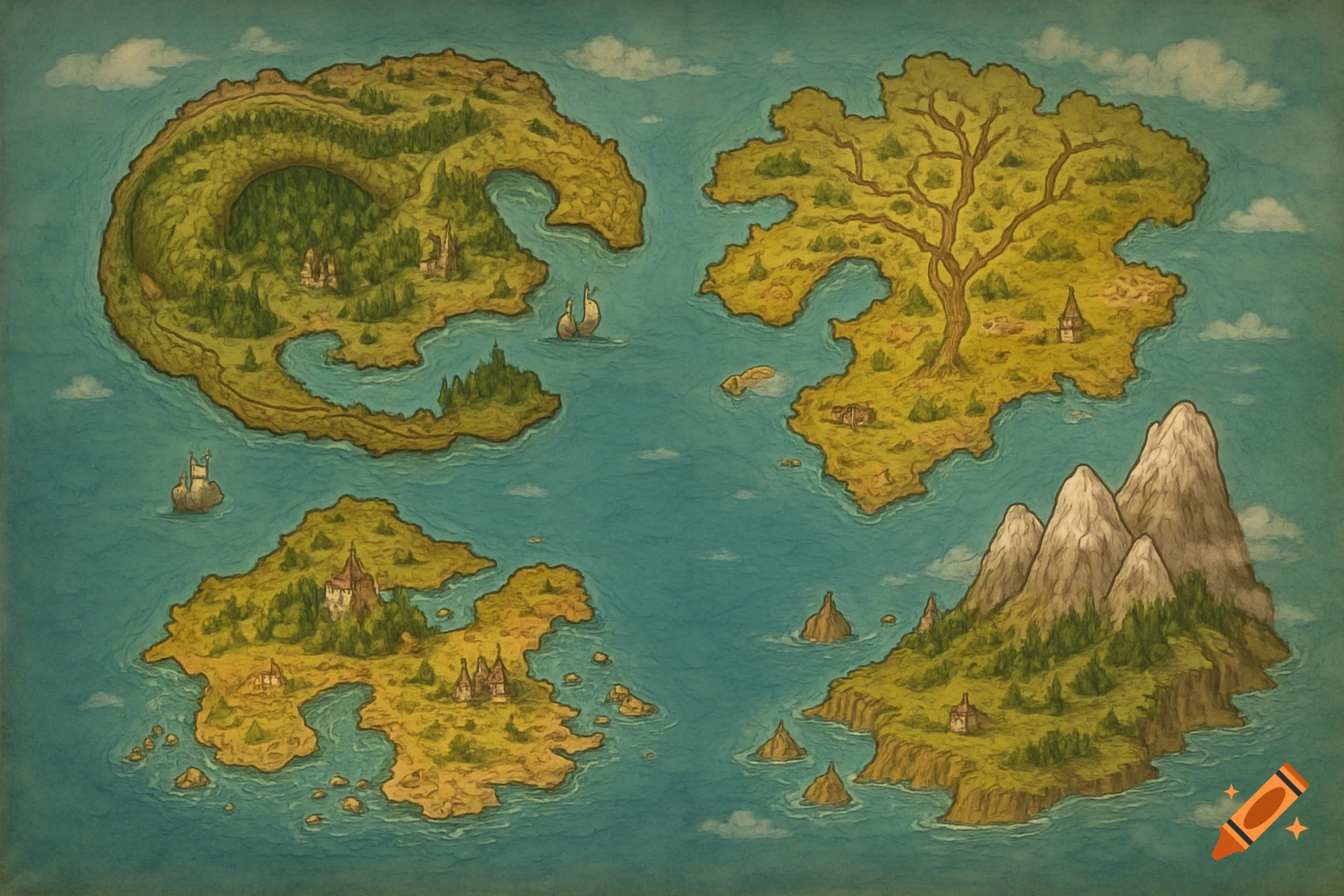
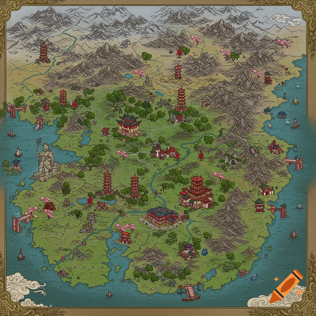
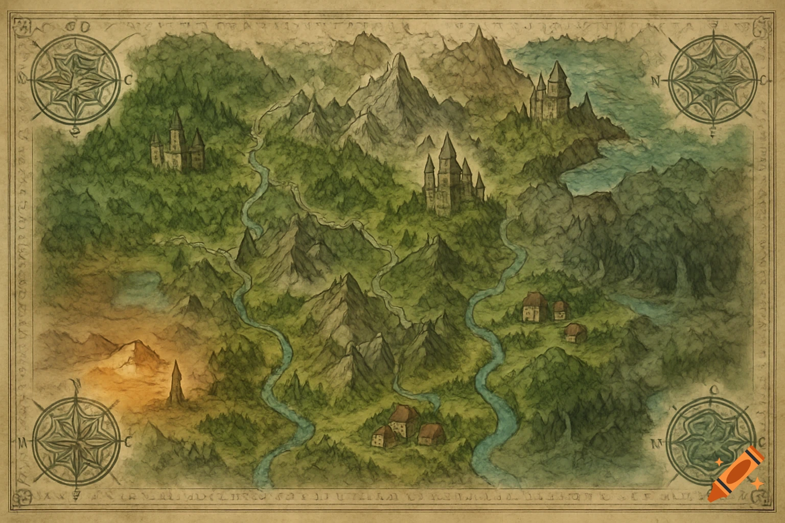
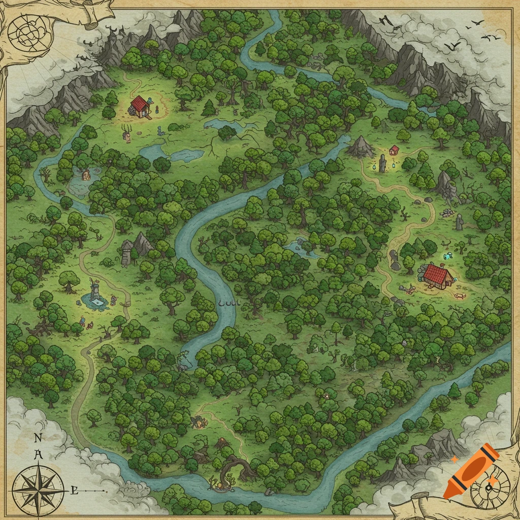
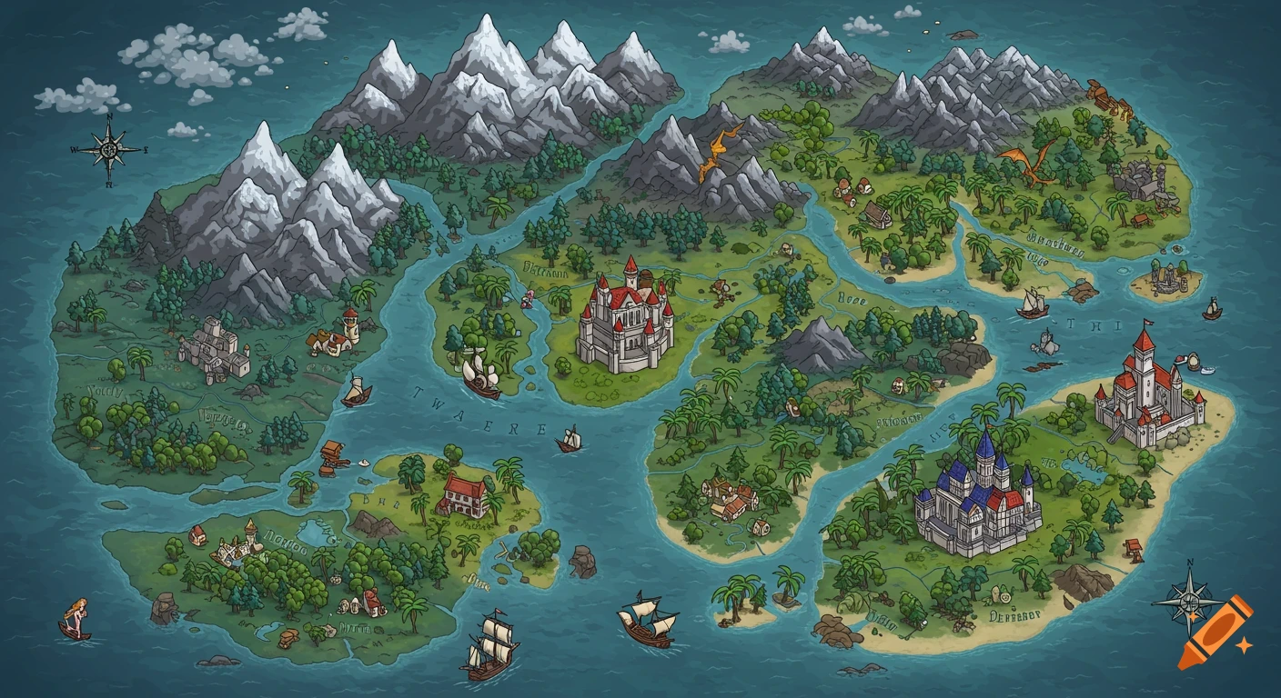
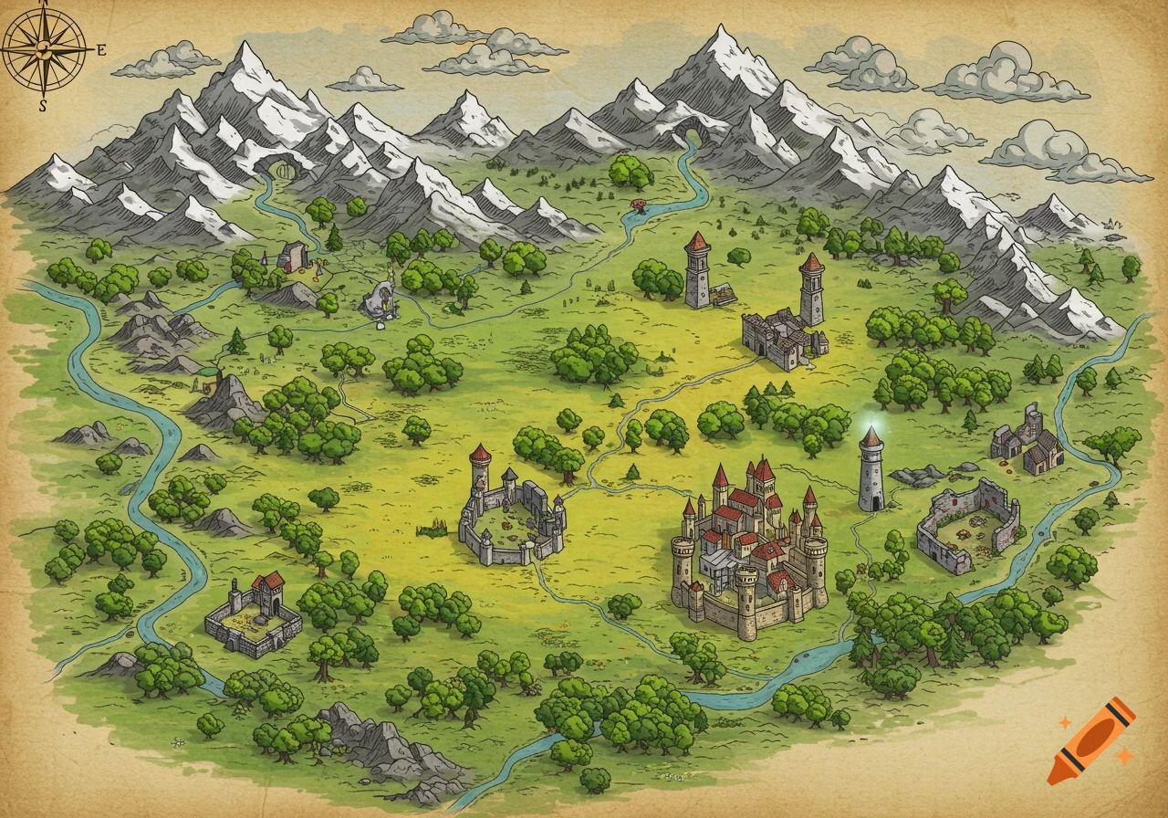
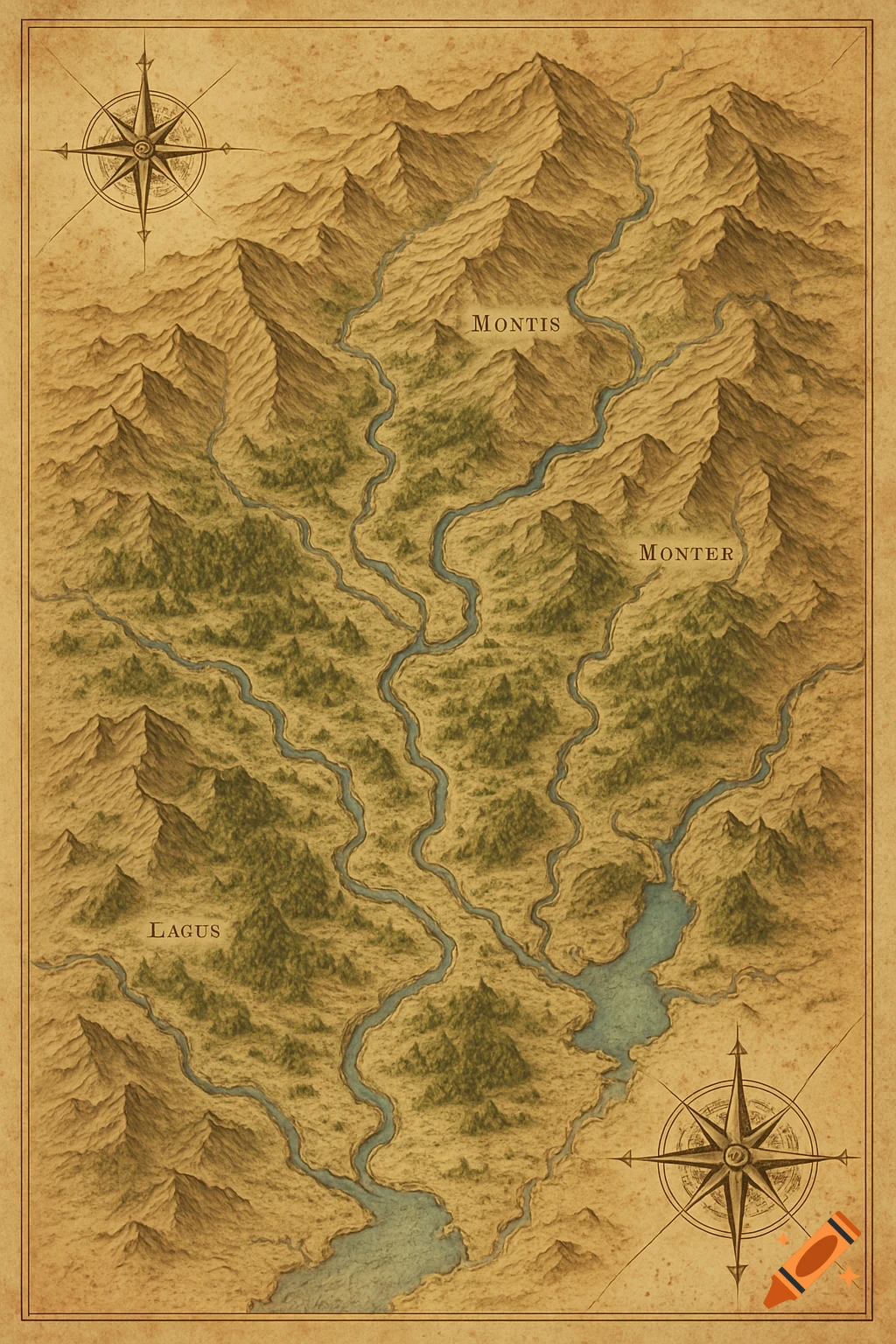
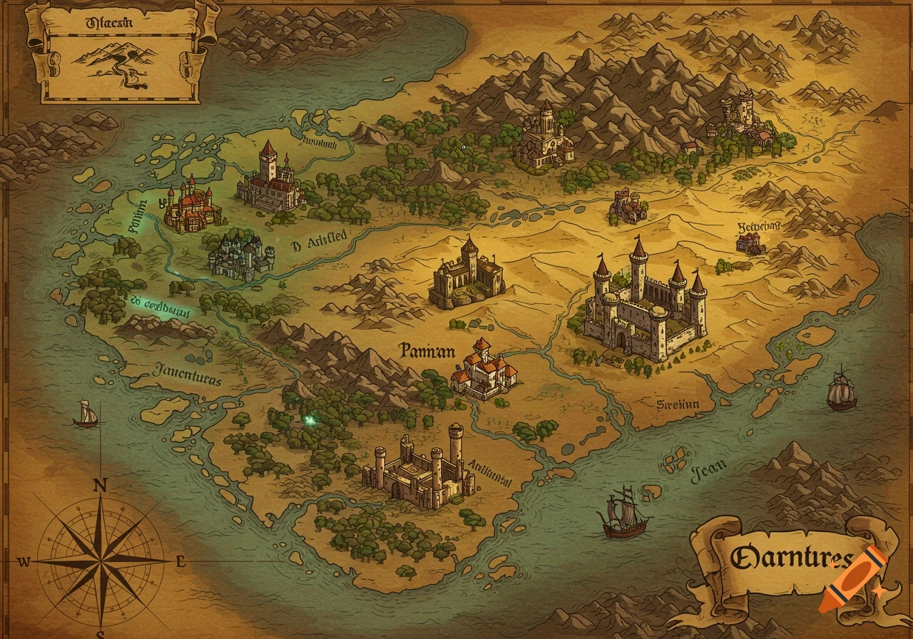
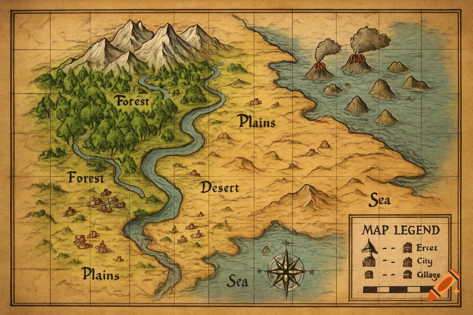
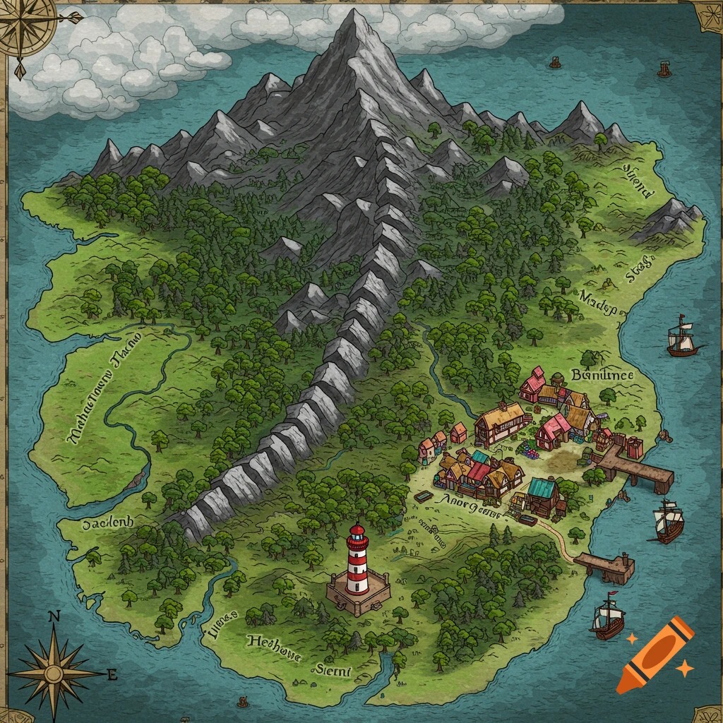
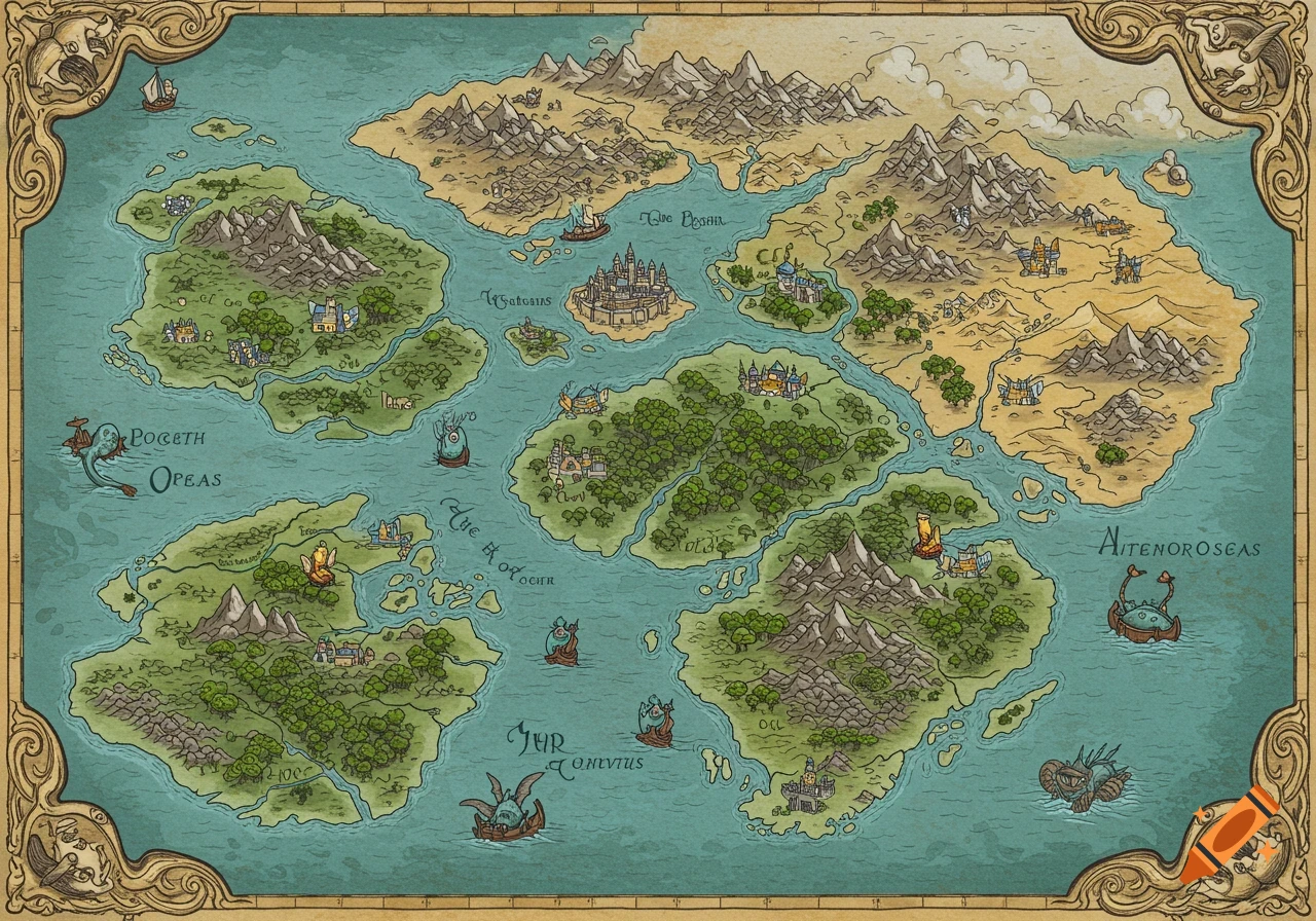
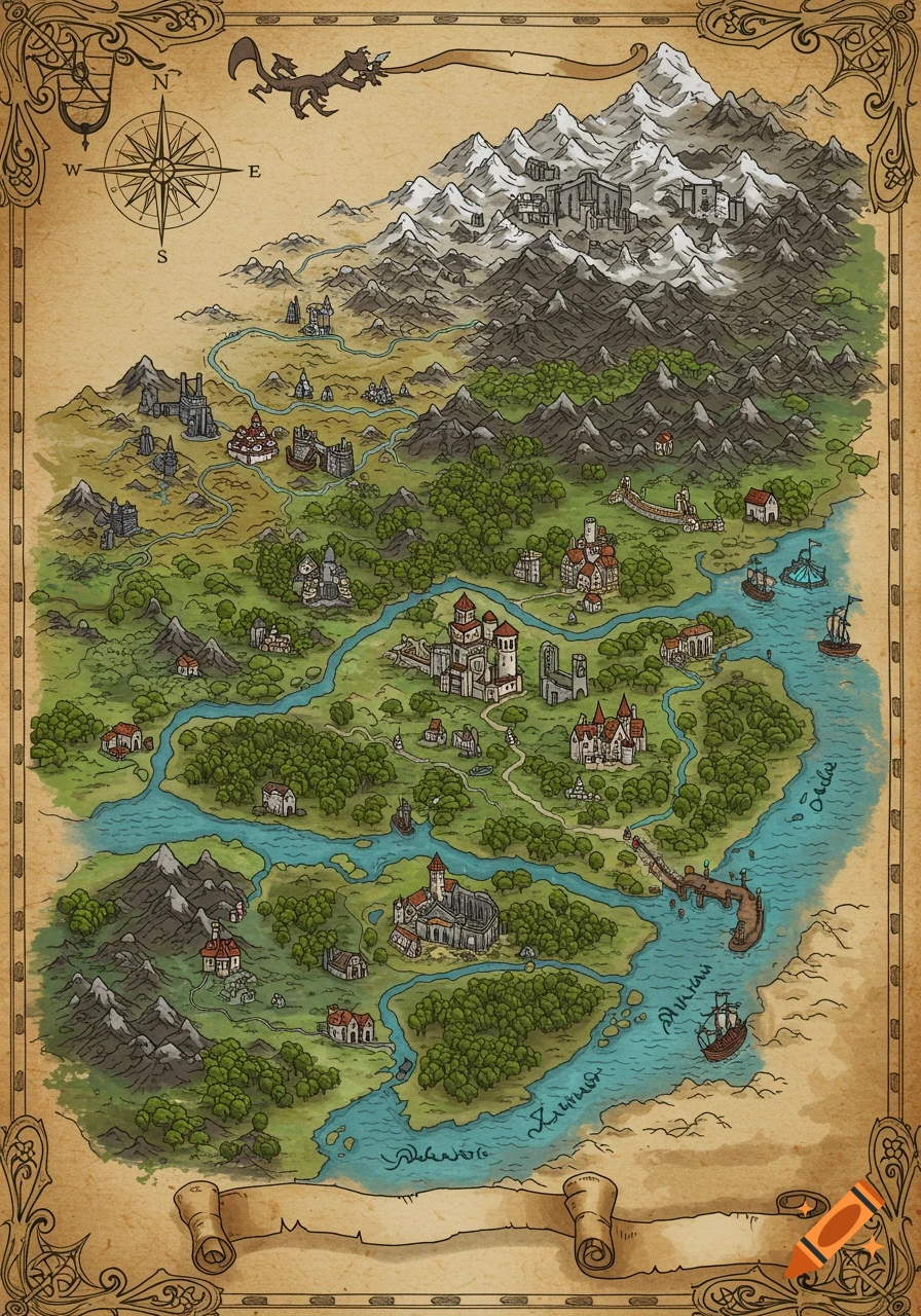
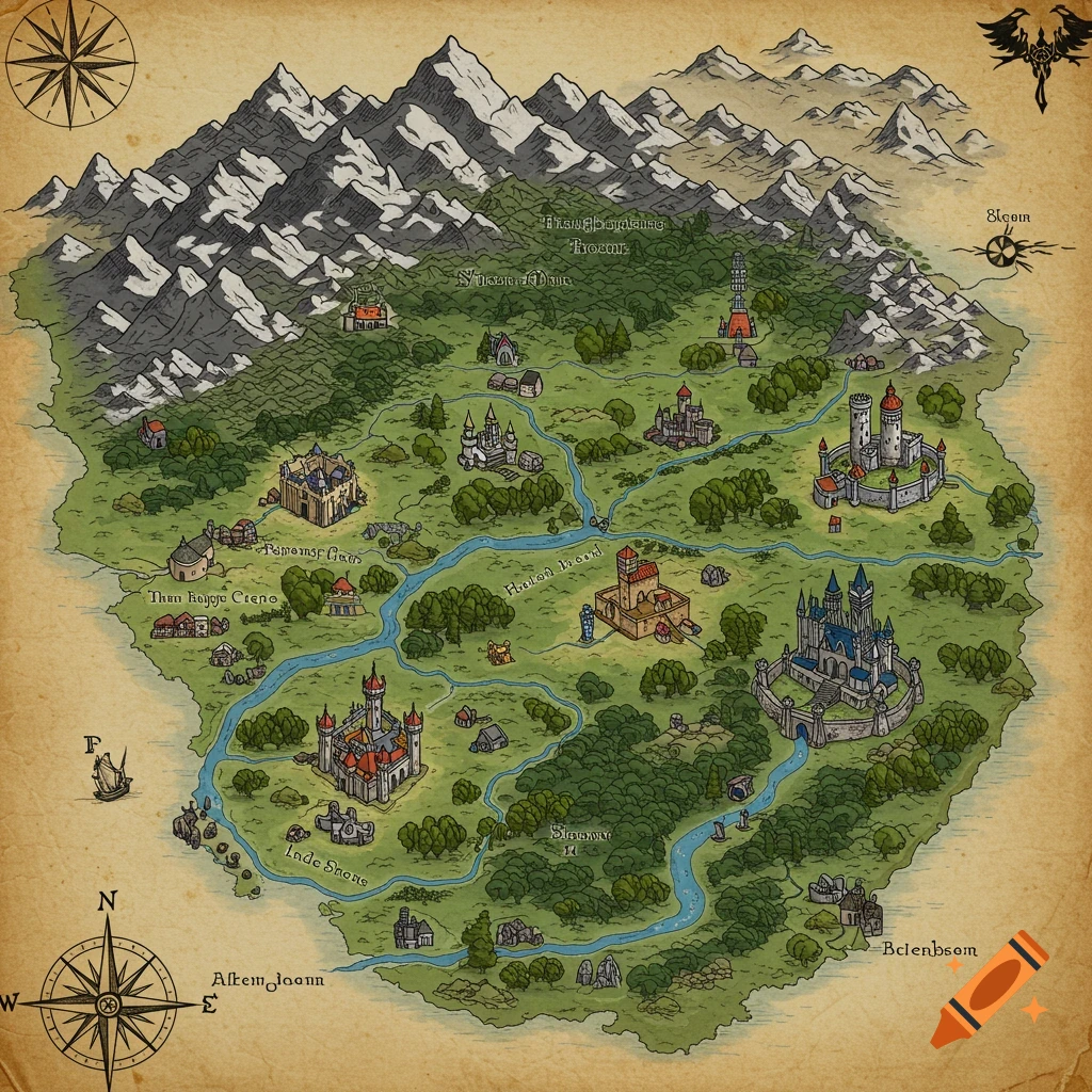
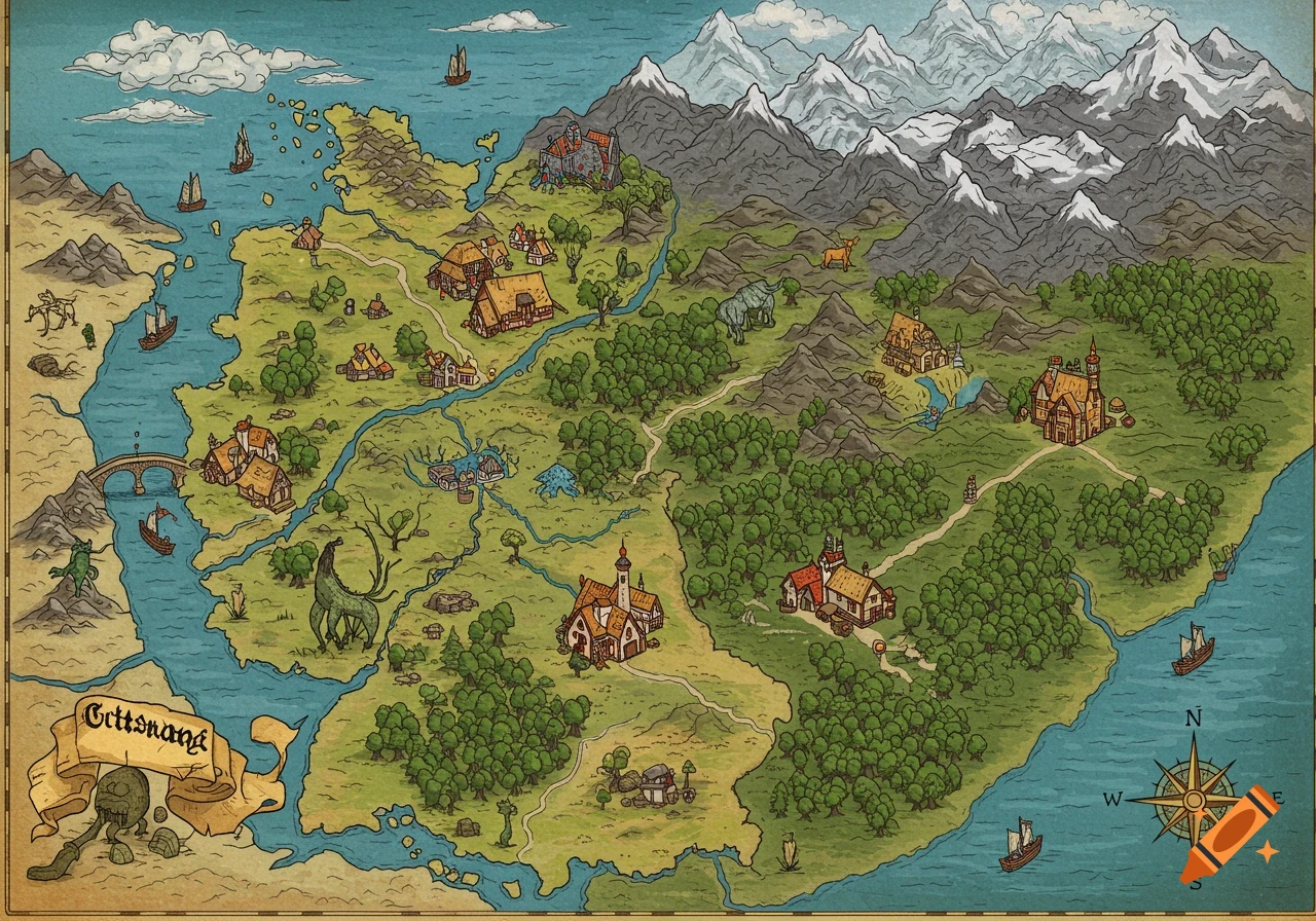
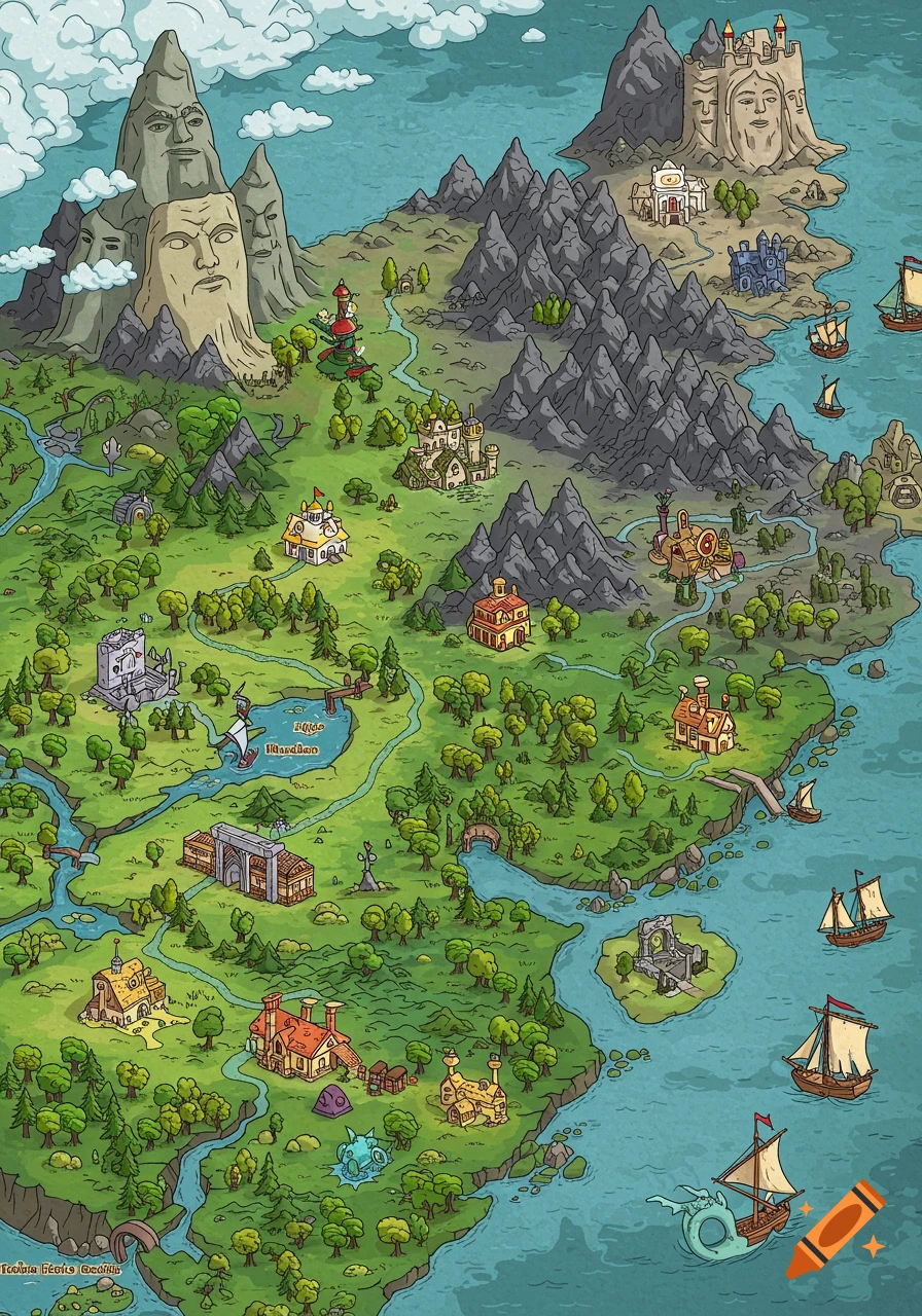
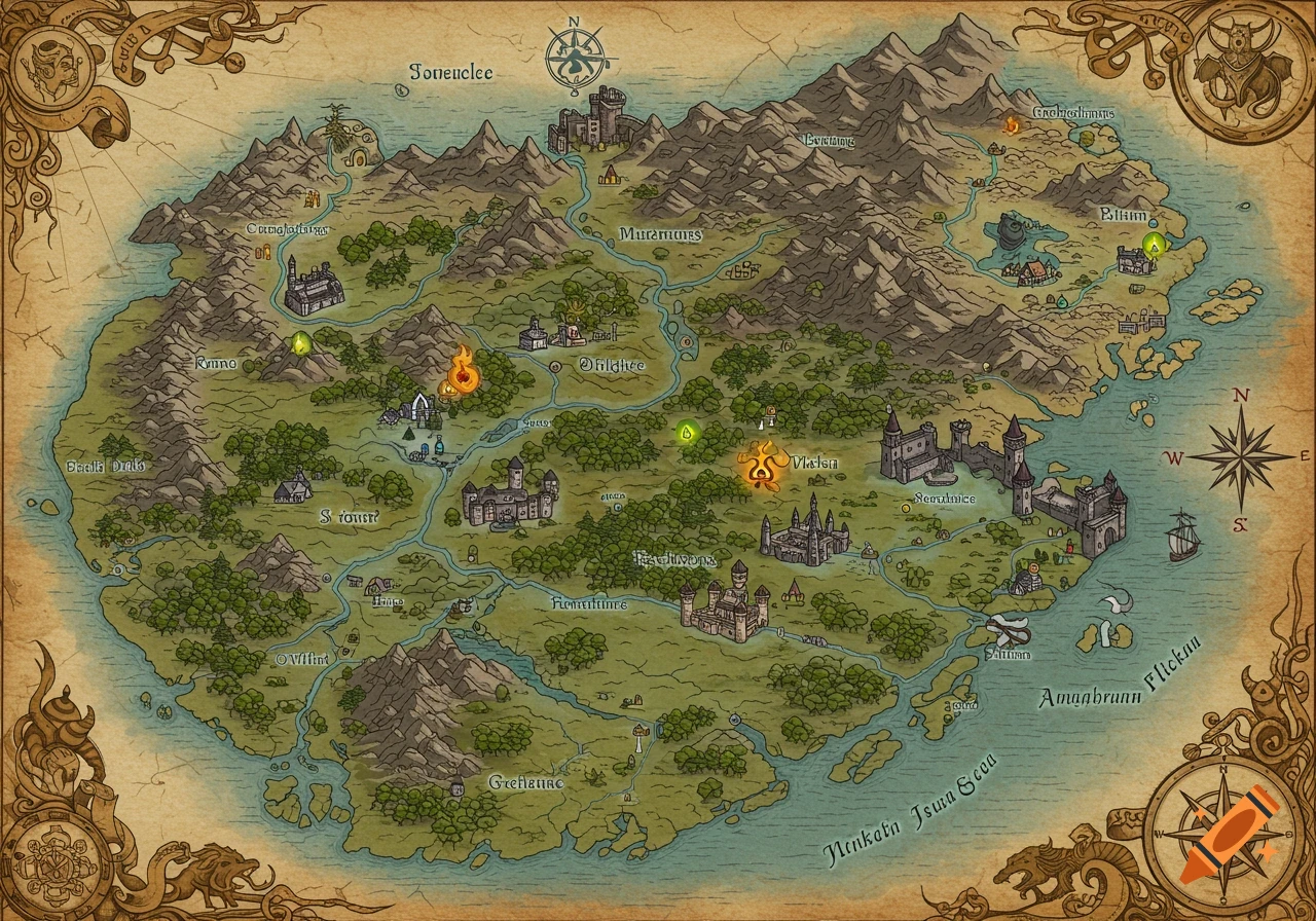
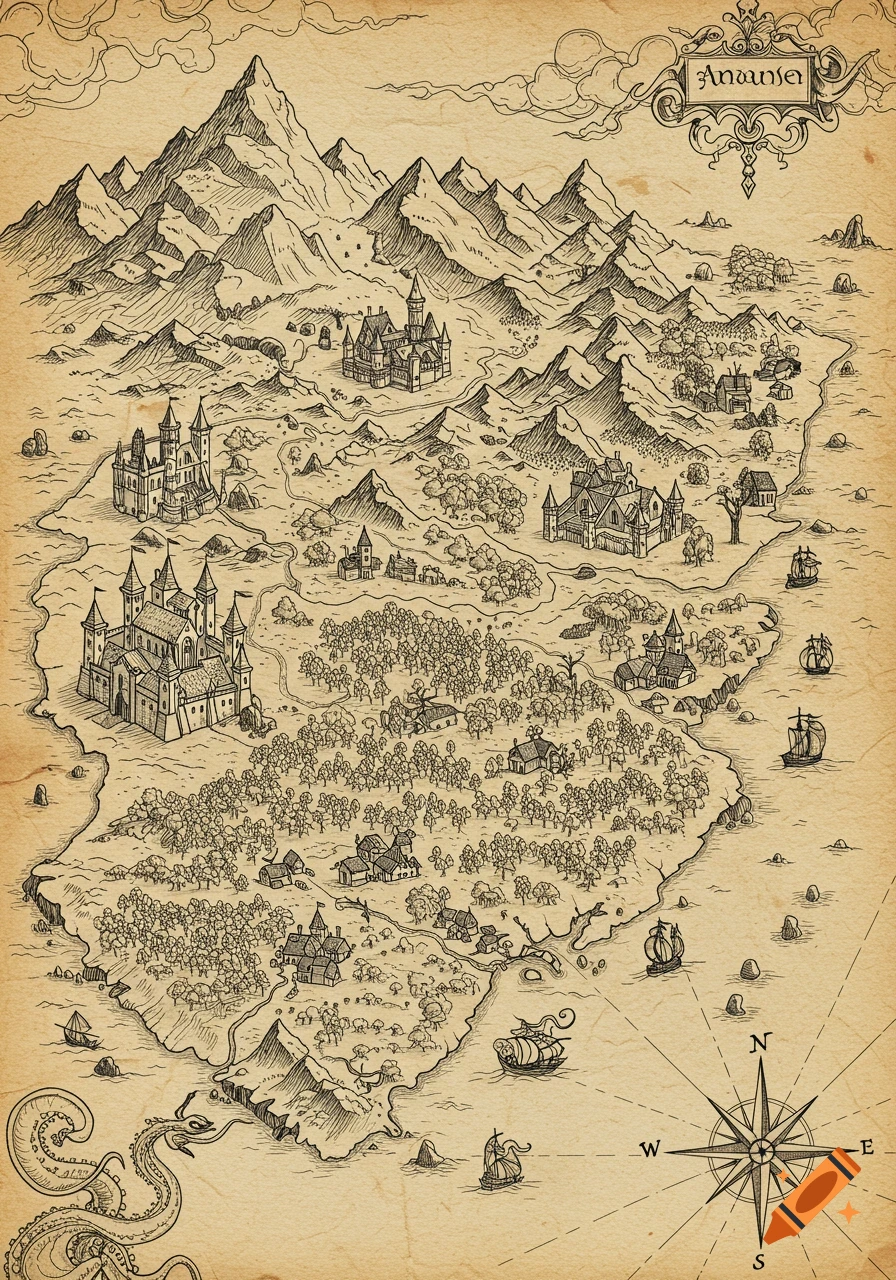
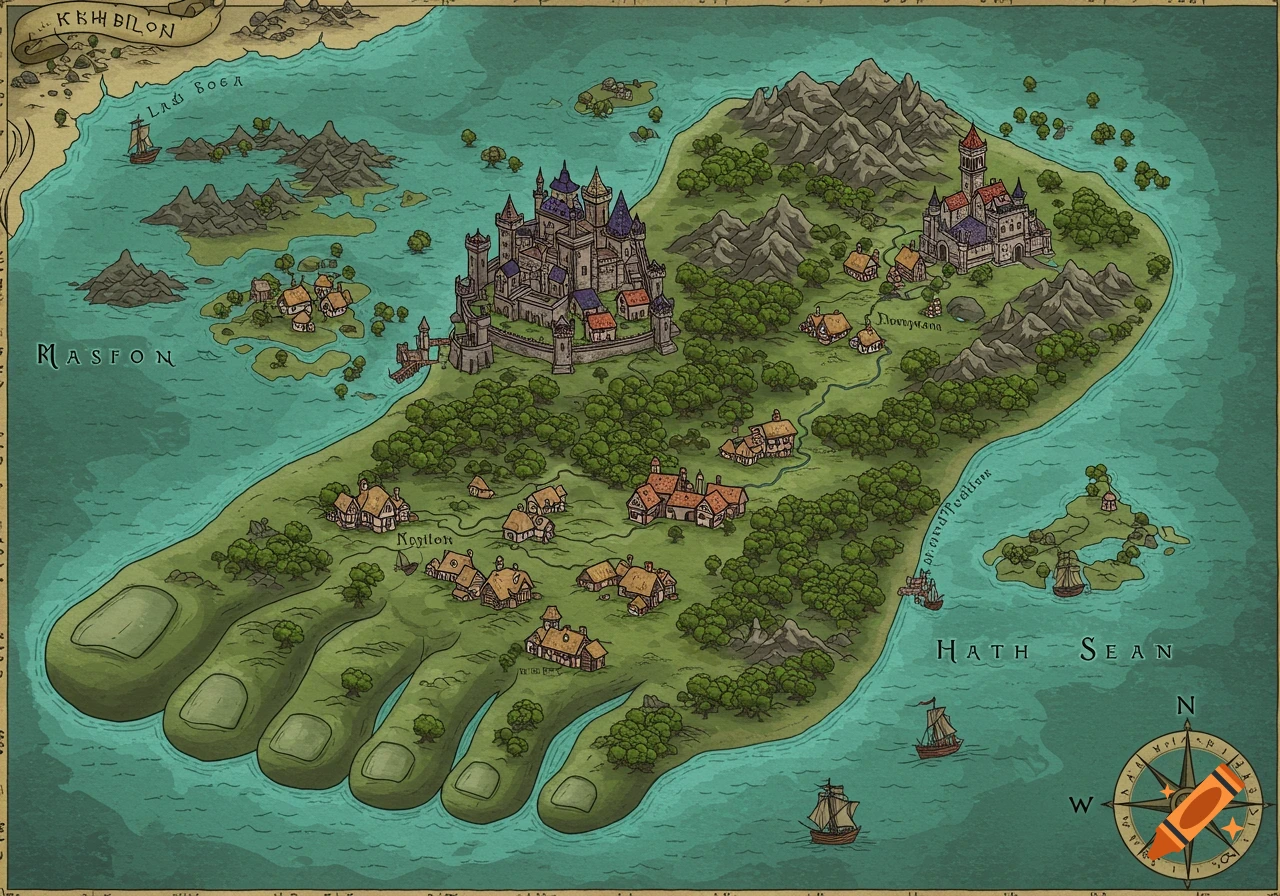
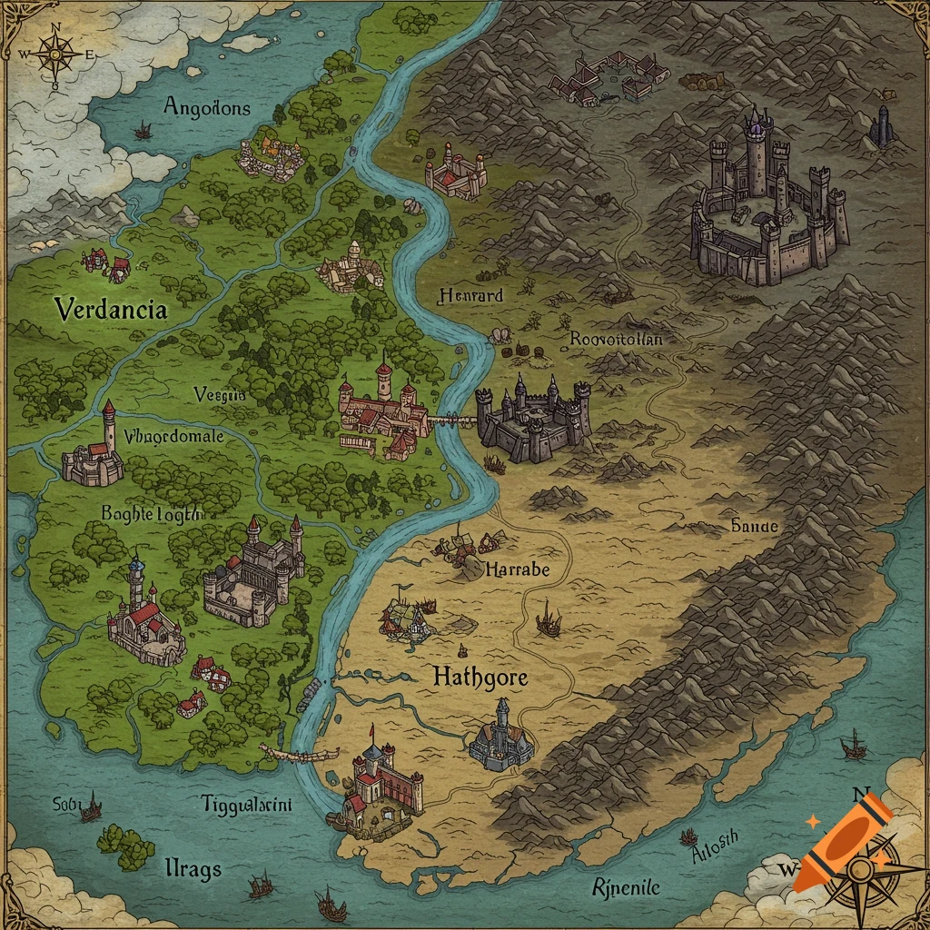
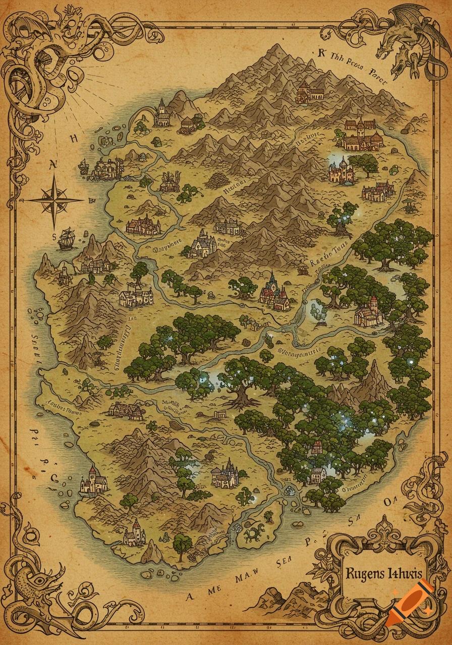
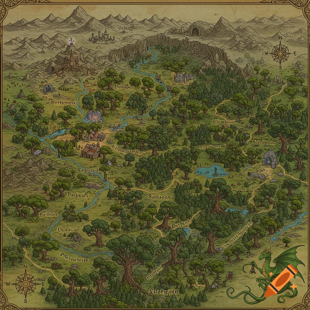
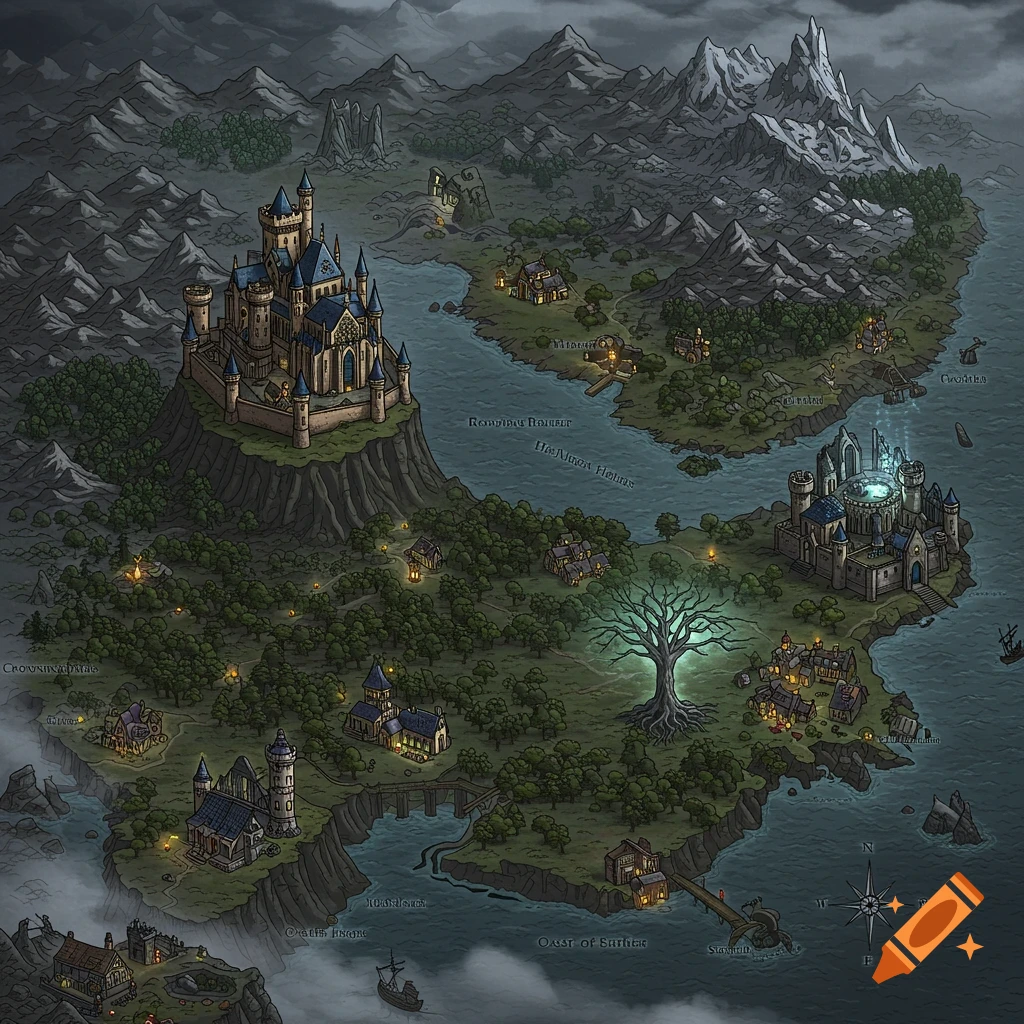
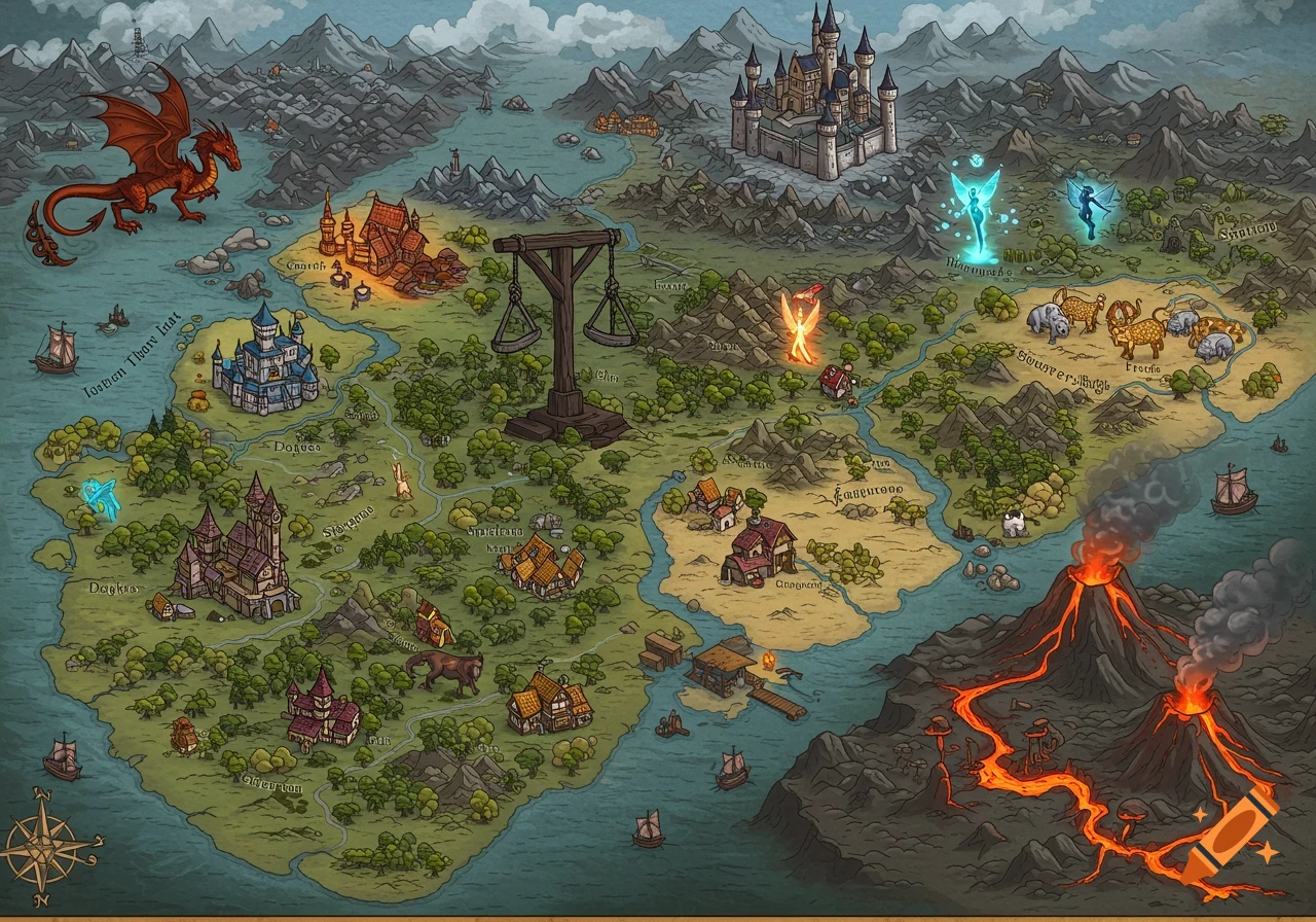
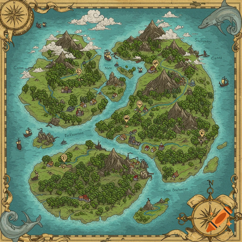
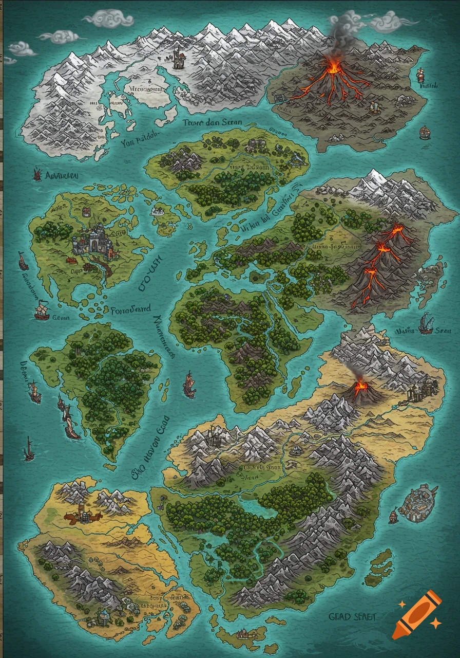
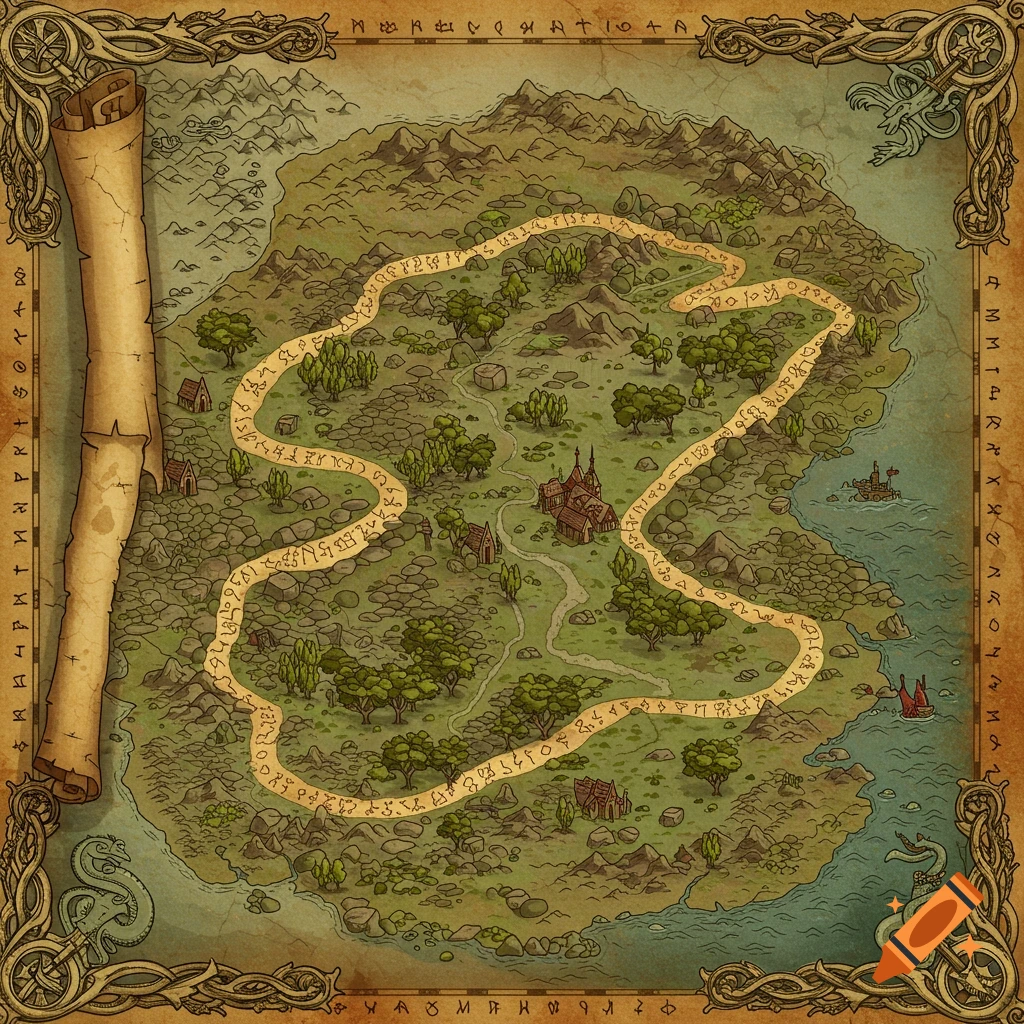
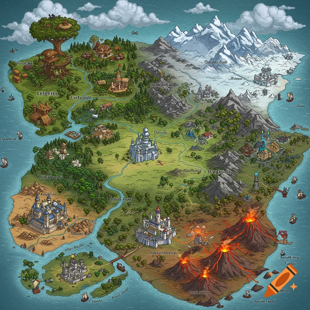
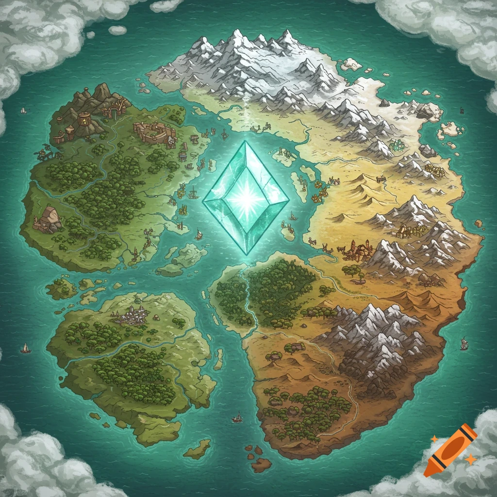
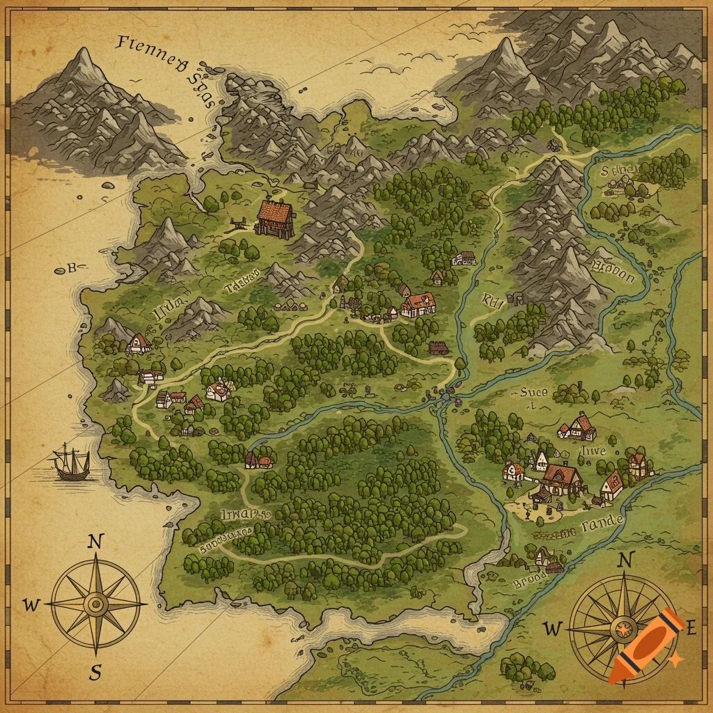
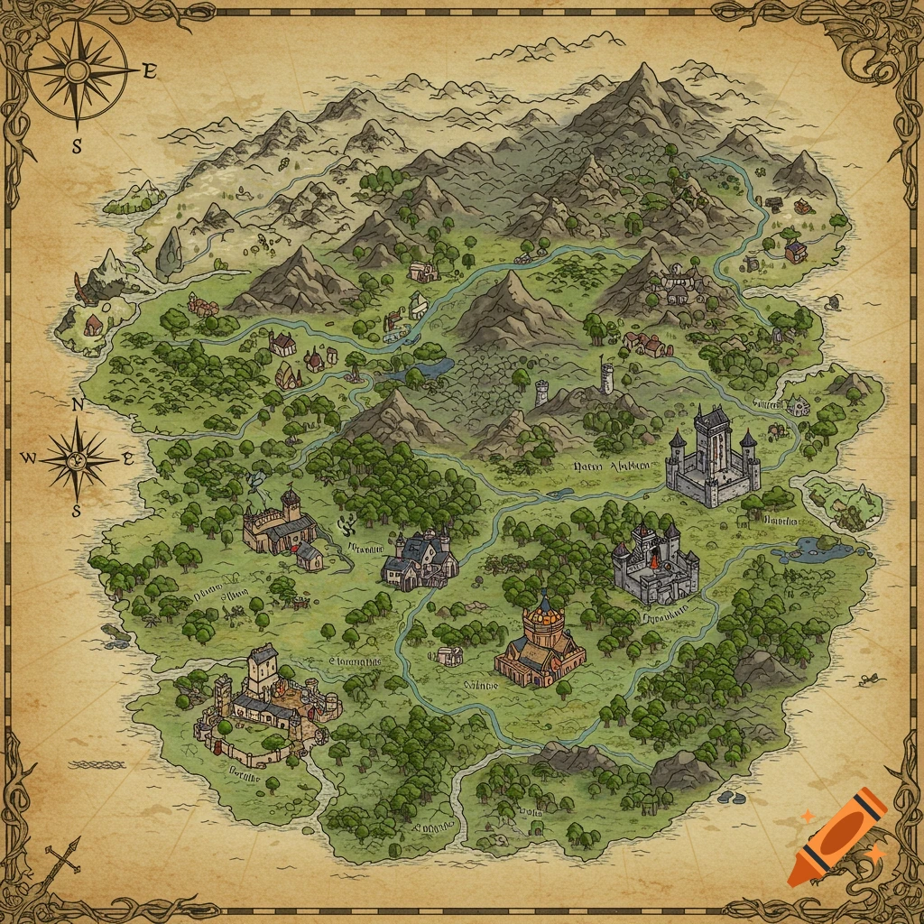
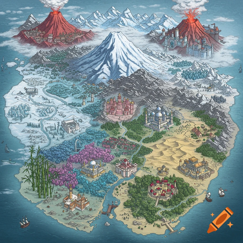
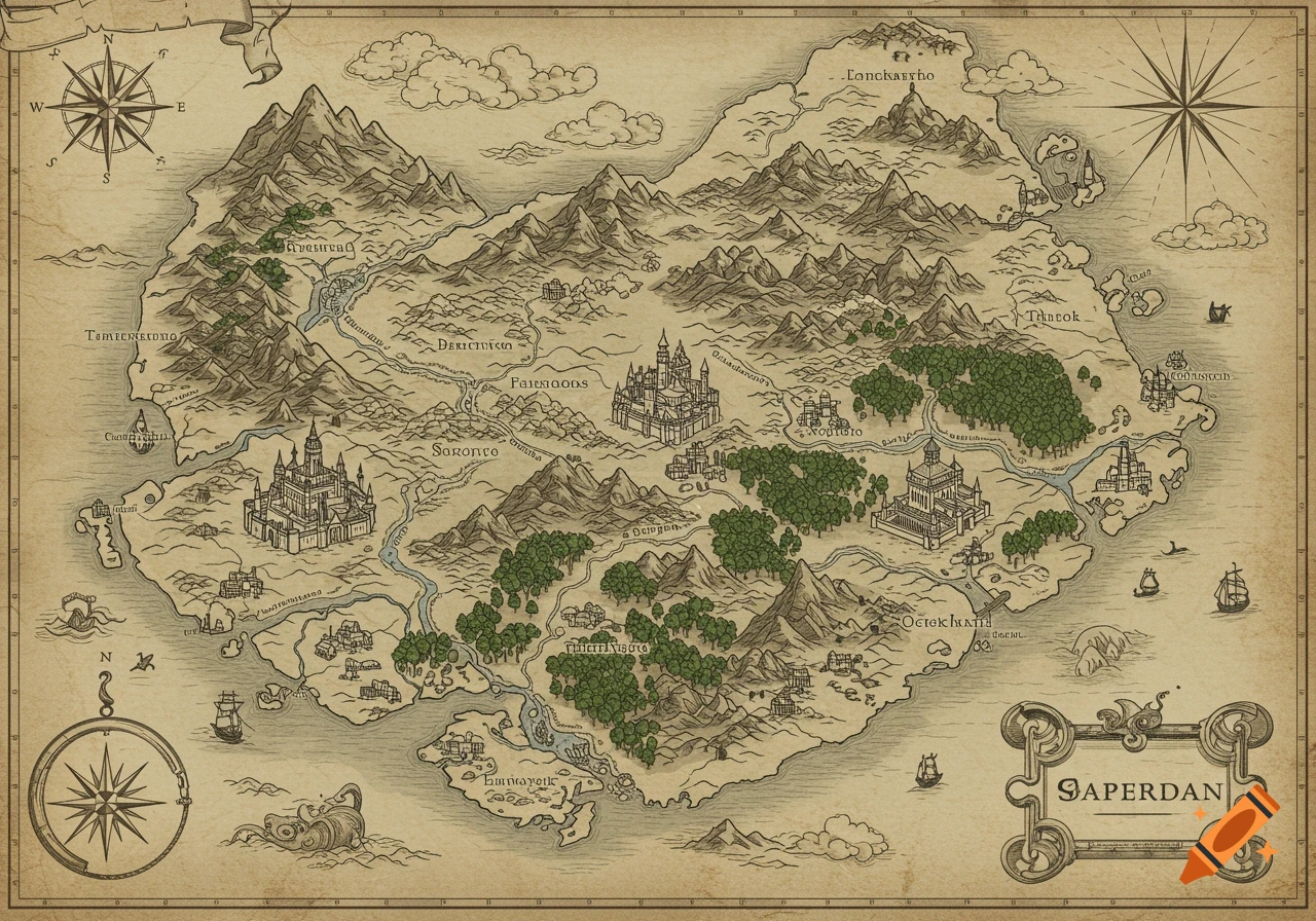
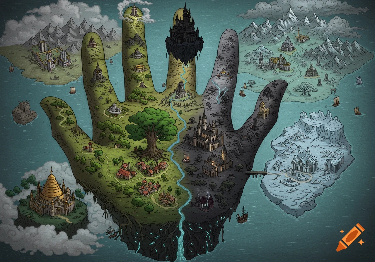
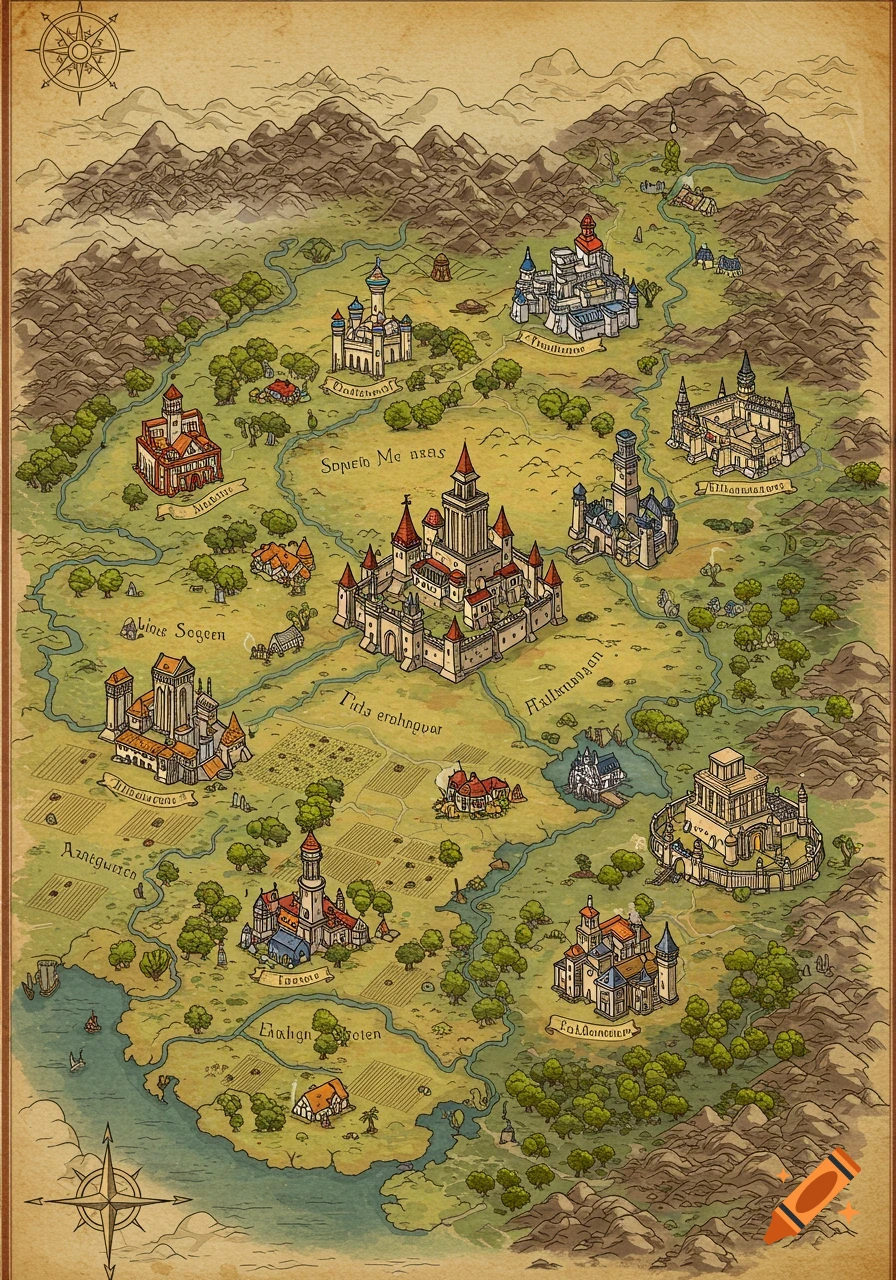
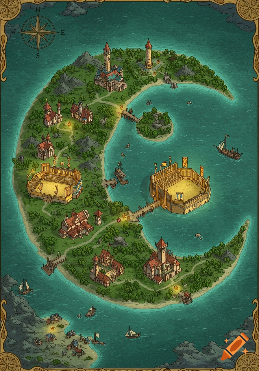
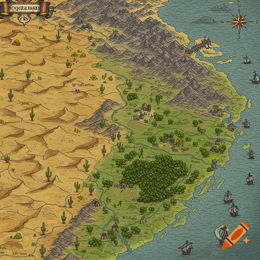
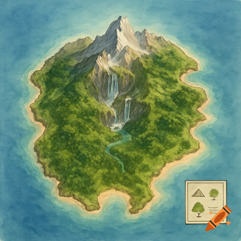
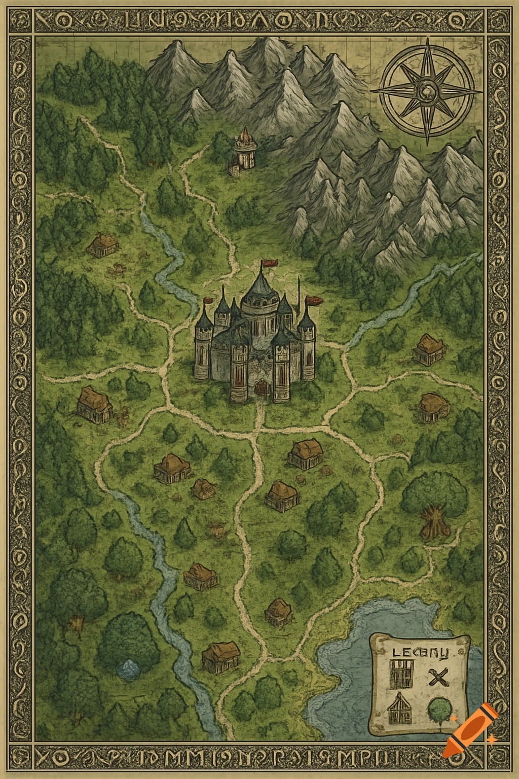
Hand-drawn fantasy world map featuring multiple stylized islands with diverse terrain and settlements in a blue ocean.
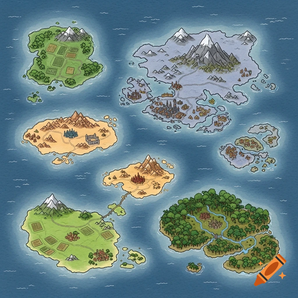
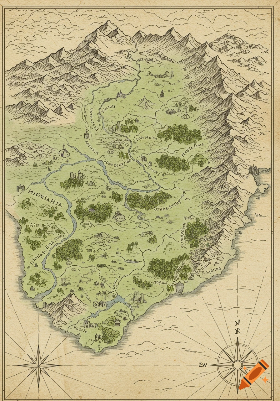
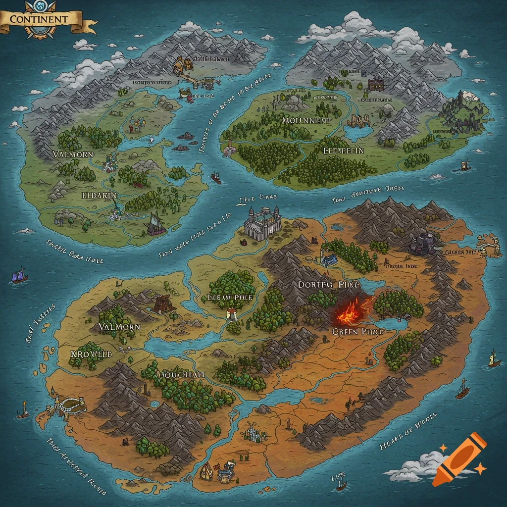
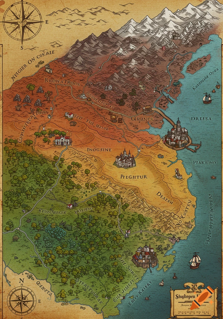
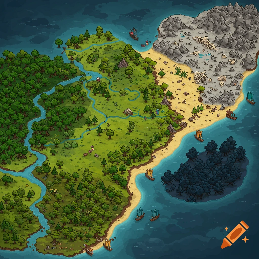
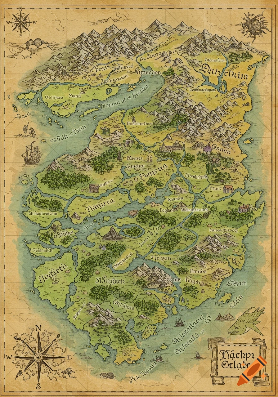
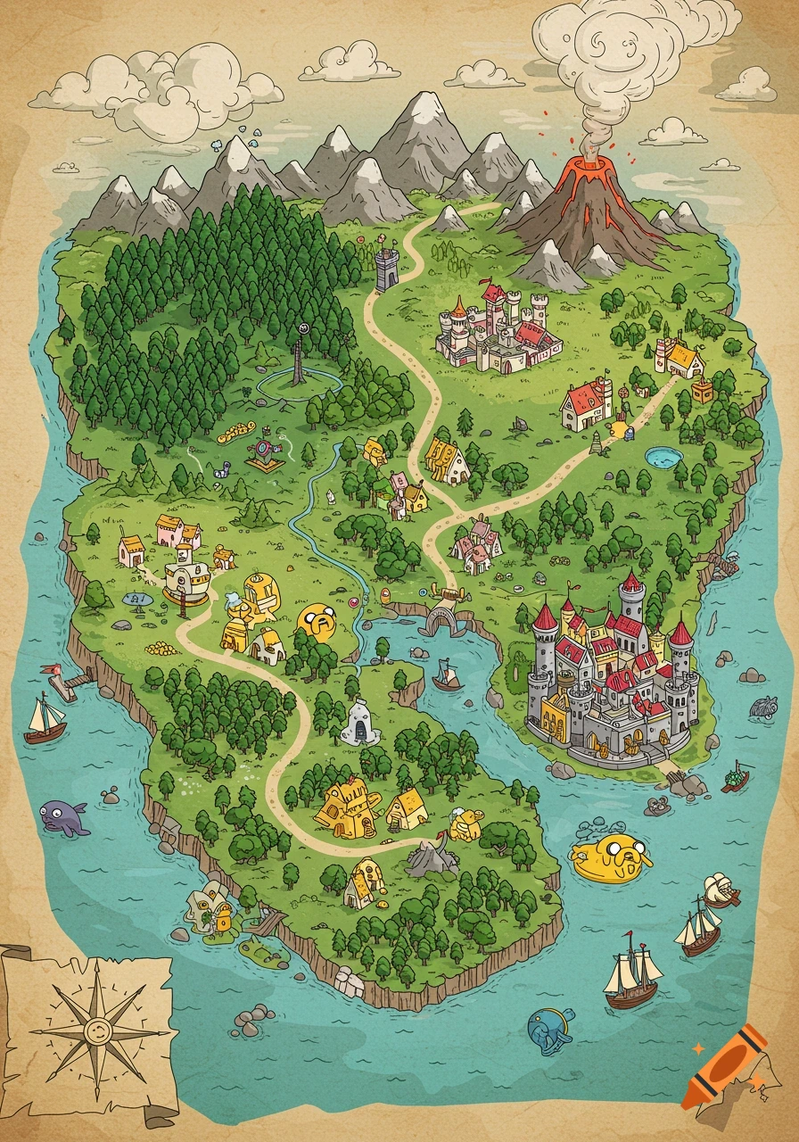
Top-down hand-drawn fantasy world map, drawn as if by the people of the world themselves, imperfect and stylized. Simple ink outlines with light watercolor fills, uneven coastlines, visible brush strokes. Slightly cartoony, clean and readable, not realistic, not illustrative. A deep blue ocean with subtle painterly texture. Exactly six major islands total — no more, no less. No text, no labels, no numbers, no symbols, no compass, no border, no frame. Island layout: One medium-sized green starting island in the south-west with plains, fields, gentle hills, one small rocky mountain in the north, greener west side and slightly drier yellow terrain to the east. One smaller desert island in the south-center with warm sand tones, sparse vegetation, a north–south sandstone mountain range, one larger city near the center against the mountains, several small settlements and a few ruins. One very large central continent in the center-east with an irregular coastline, temperate climate, a massive central mountain range, coastal cities, one very large capital near a river delta, many tiny farming villages scattered across the land. Around the central continent: exactly five small islands total — one small island and four tiny islets, all clearly smaller than the desert island and minimally detailed. One jungle island west of the central continent, medium-sized, entirely covered in dense dark green jungle canopy, rivers instead of roads, one hidden main city and a few small nearby Mehr sehen
More images like this