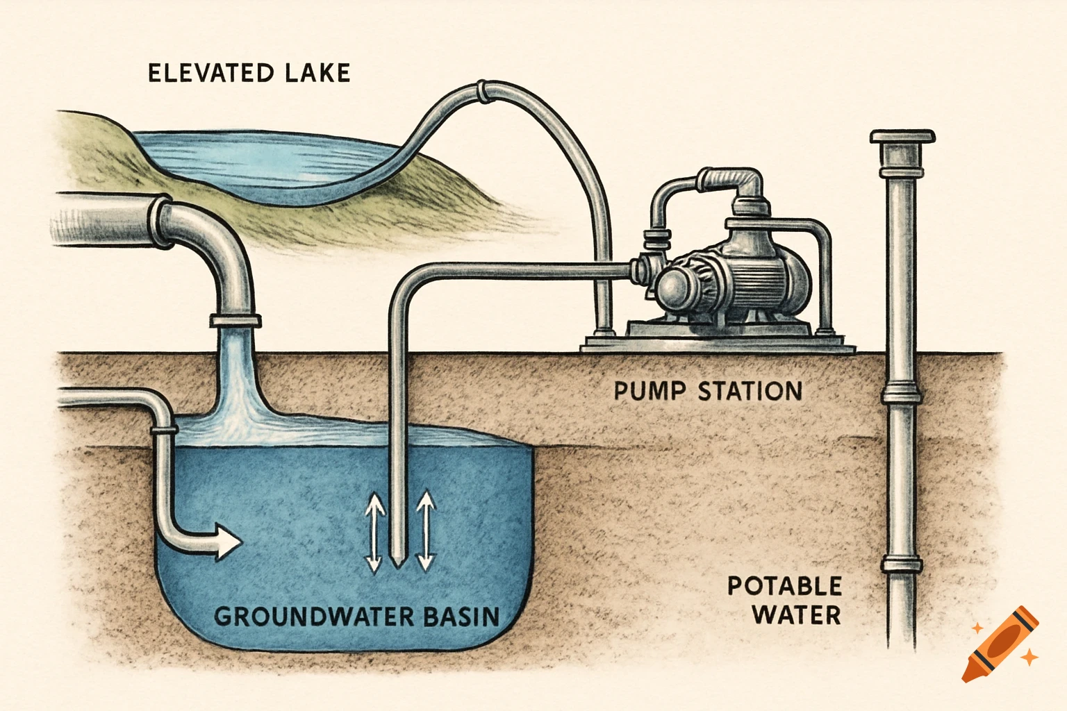
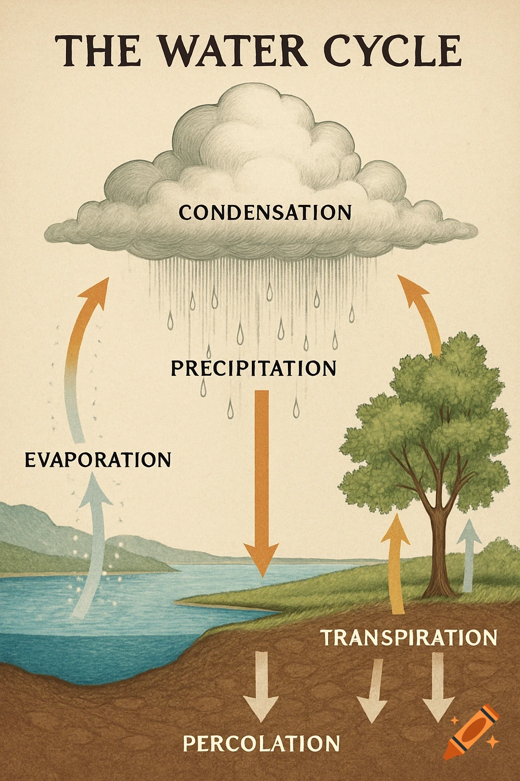
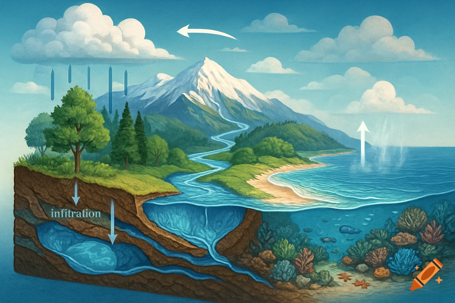
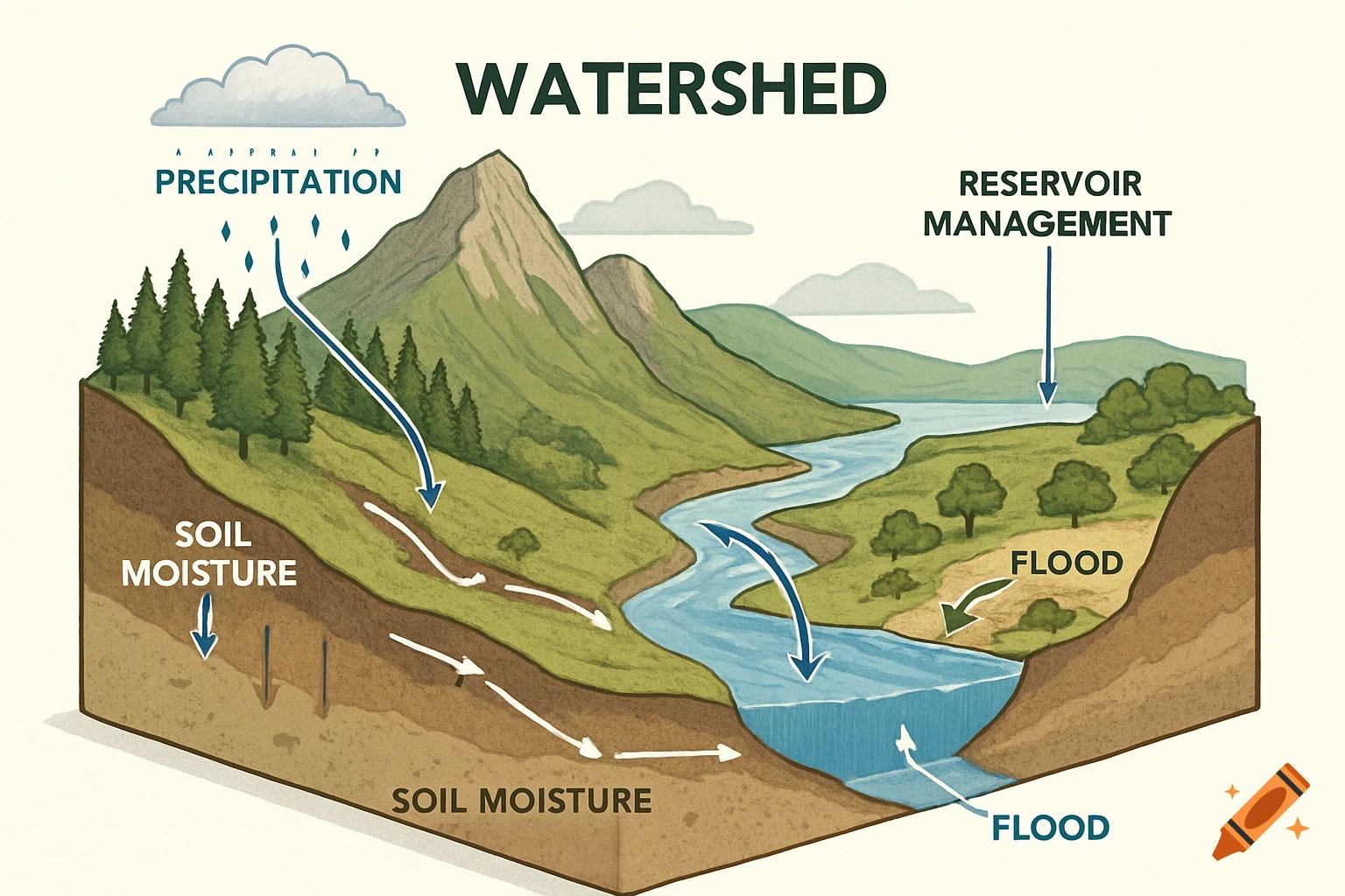
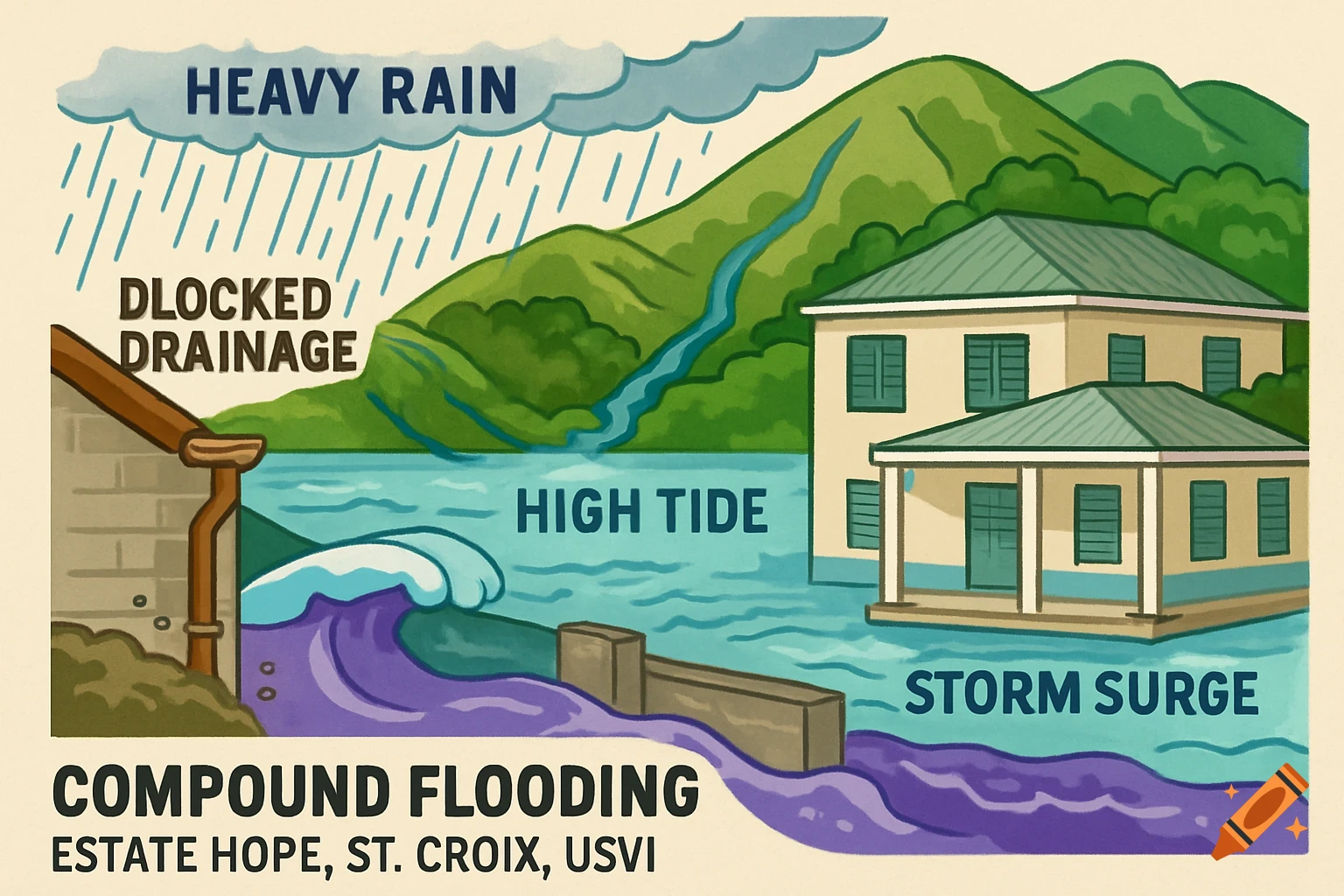
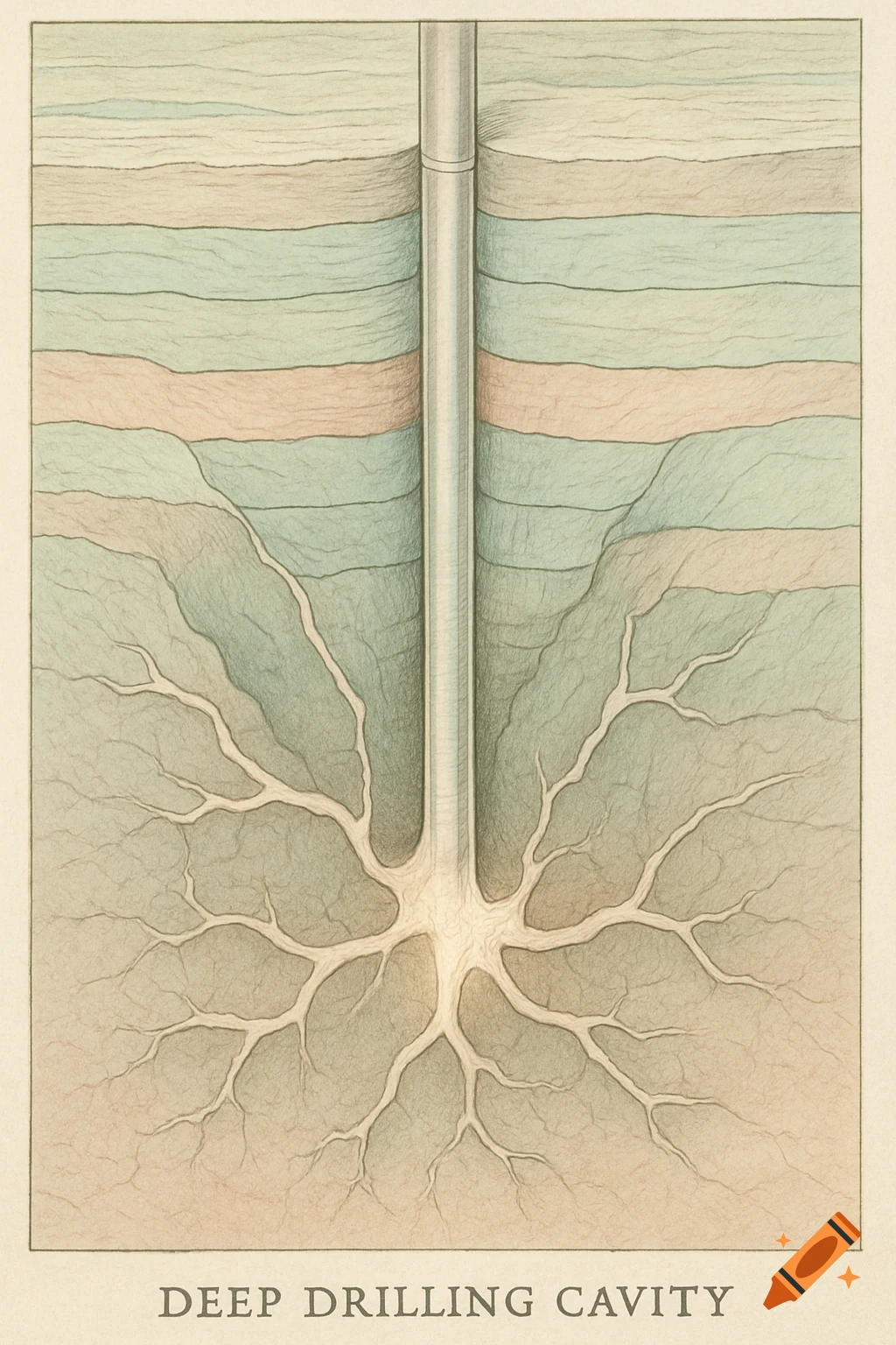
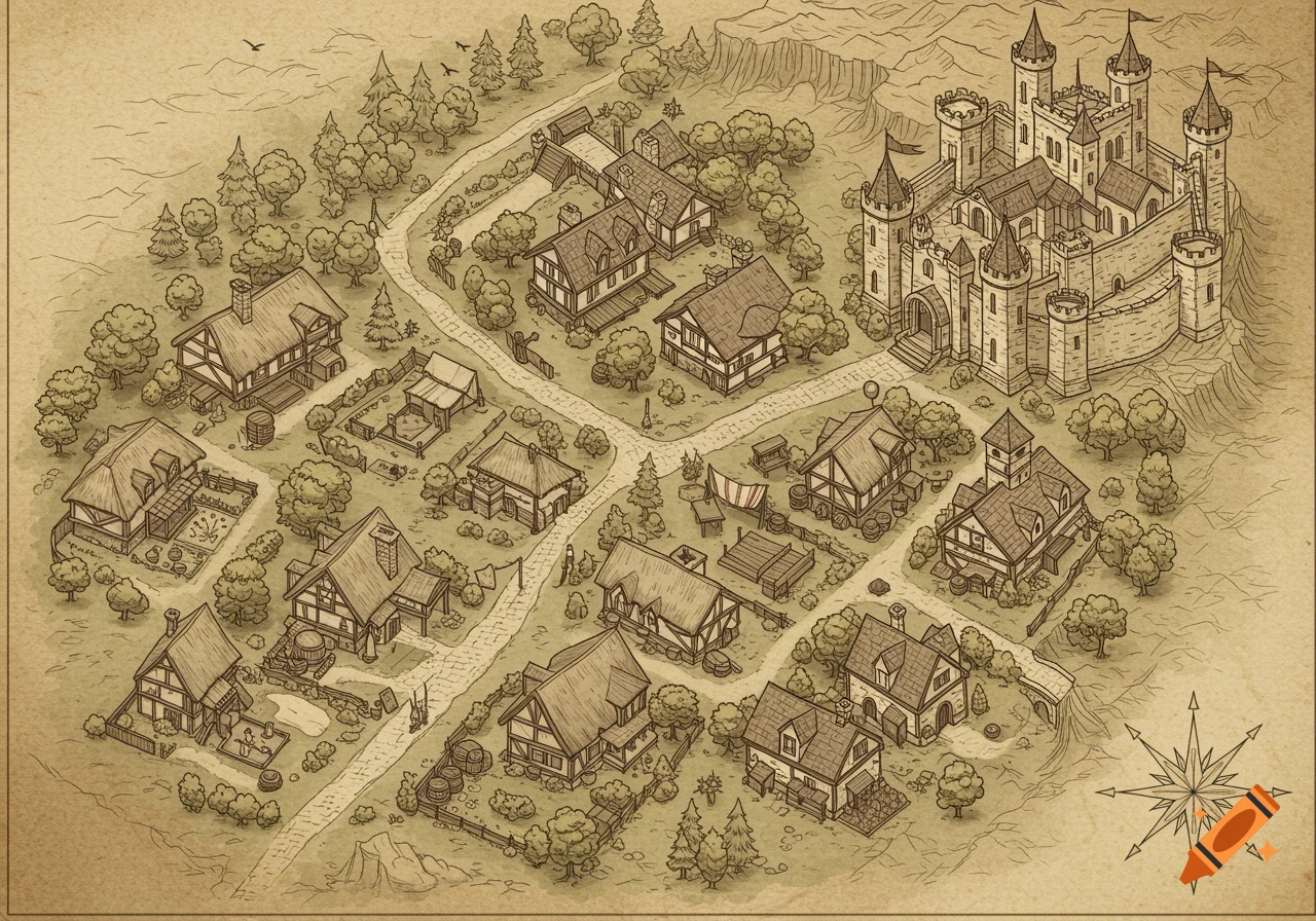
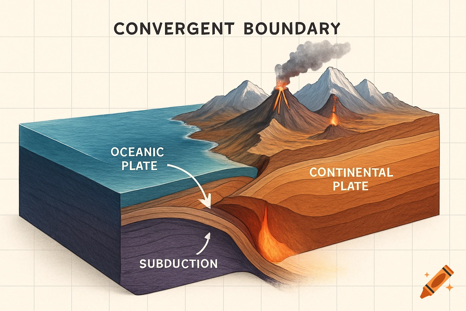
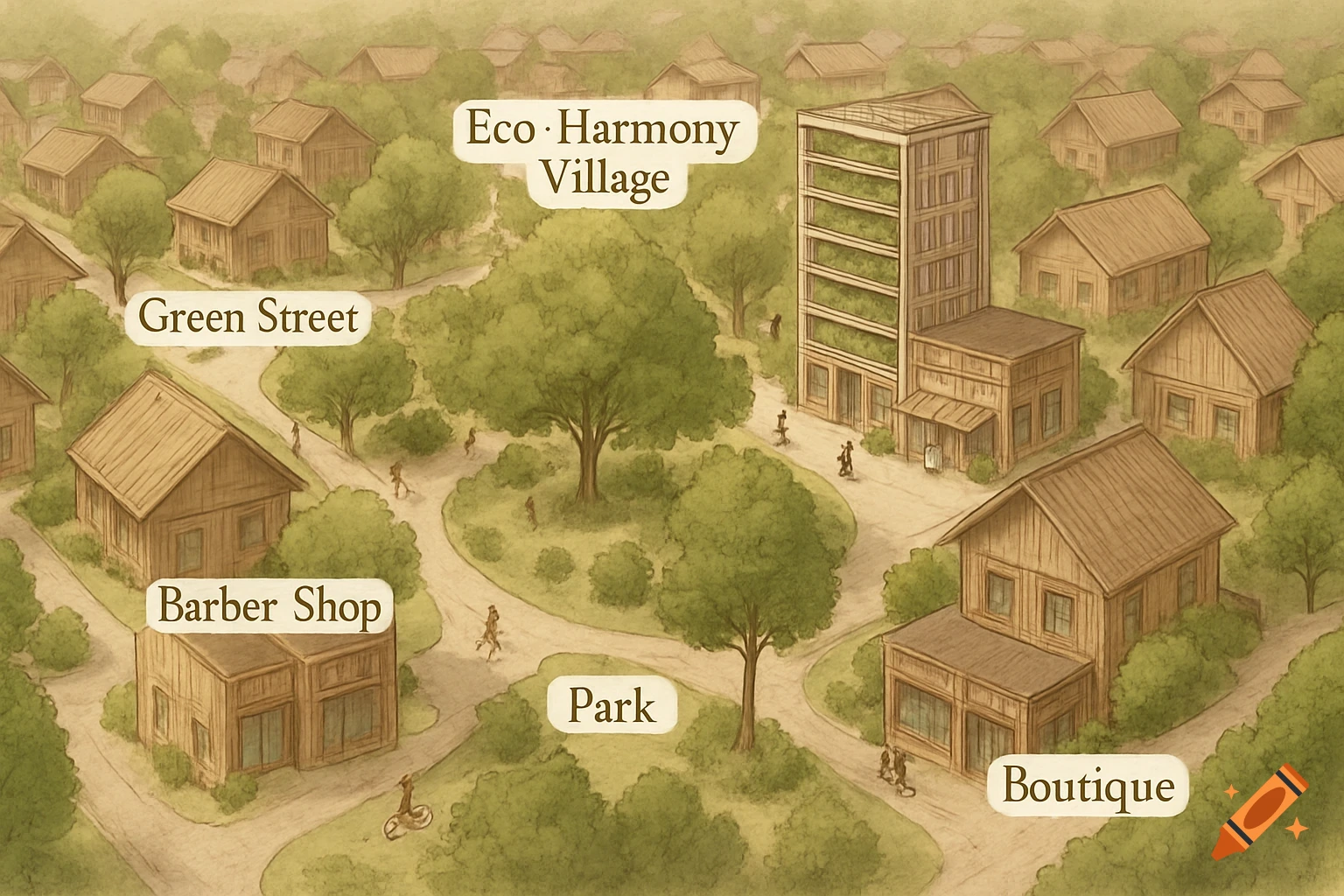
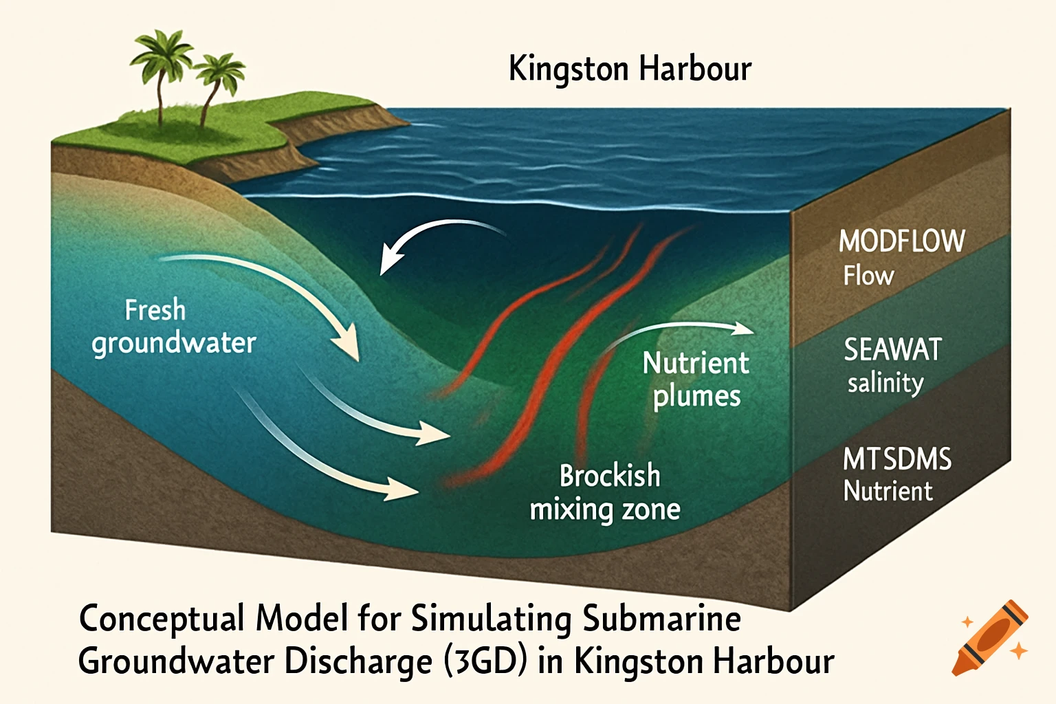
Detailed hand-drawn illustration in a 3D cutaway view showing a town flooded by a lake overflow, with labeled diagram arrows explaining geological and hydrological effects like rising groundwater and soil saturation.

PROMPT TO COPY: Create a detailed hand-drawn style residential map illustration of a small town affected by flooding. The perspective should be slightly angled (3D cutaway view), so both the town surface and underground layers are visible. The town is next to a large lake that has overflowed its banks and flooded into residential streets. Include: • A central Town Hall building, partially submerged with water reaching the windows • Several different types of houses (small cottage, two-story home, apartment building), some tilted or flooded up to the doors • Roads forming a small neighborhood grid, some cracked or underwater • Cars partially submerged or floating • Trees with some roots exposed, some leaning, some partially underwater • A small bridge over a stream that is damaged or underwater • Floodwater flowing from the lake into the town, with arrows showing direction of water movement • Debris floating in the water (furniture, trash bins, branches) Include underground cross-section layers beneath the town: • Topsoil layer with roots • Clay or rock layer beneath • Rising water table shown underground • Underground pipes affected by flooding • Water seeping downward from the surface Add small labeled diagram arrows explaining: • “Lake overflow due to heavy rainfall” • “Flood level 1.5m above normal” • “Road erosion from fast-moving water” • “Rising groundwater” • “Soil saturation” Style requirements: • Residential map / geography textbook illustration • Hand-drawn pen Mehr sehen
More images like this