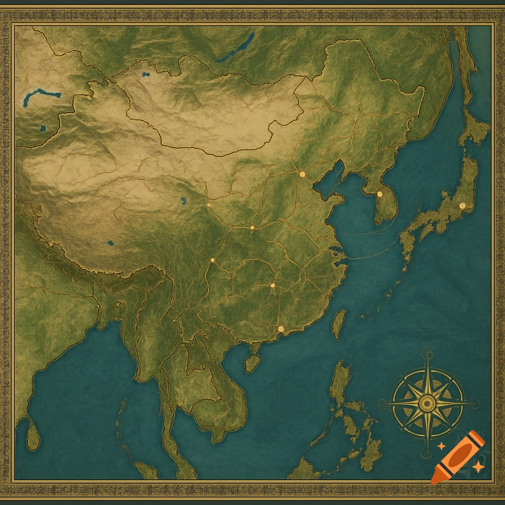
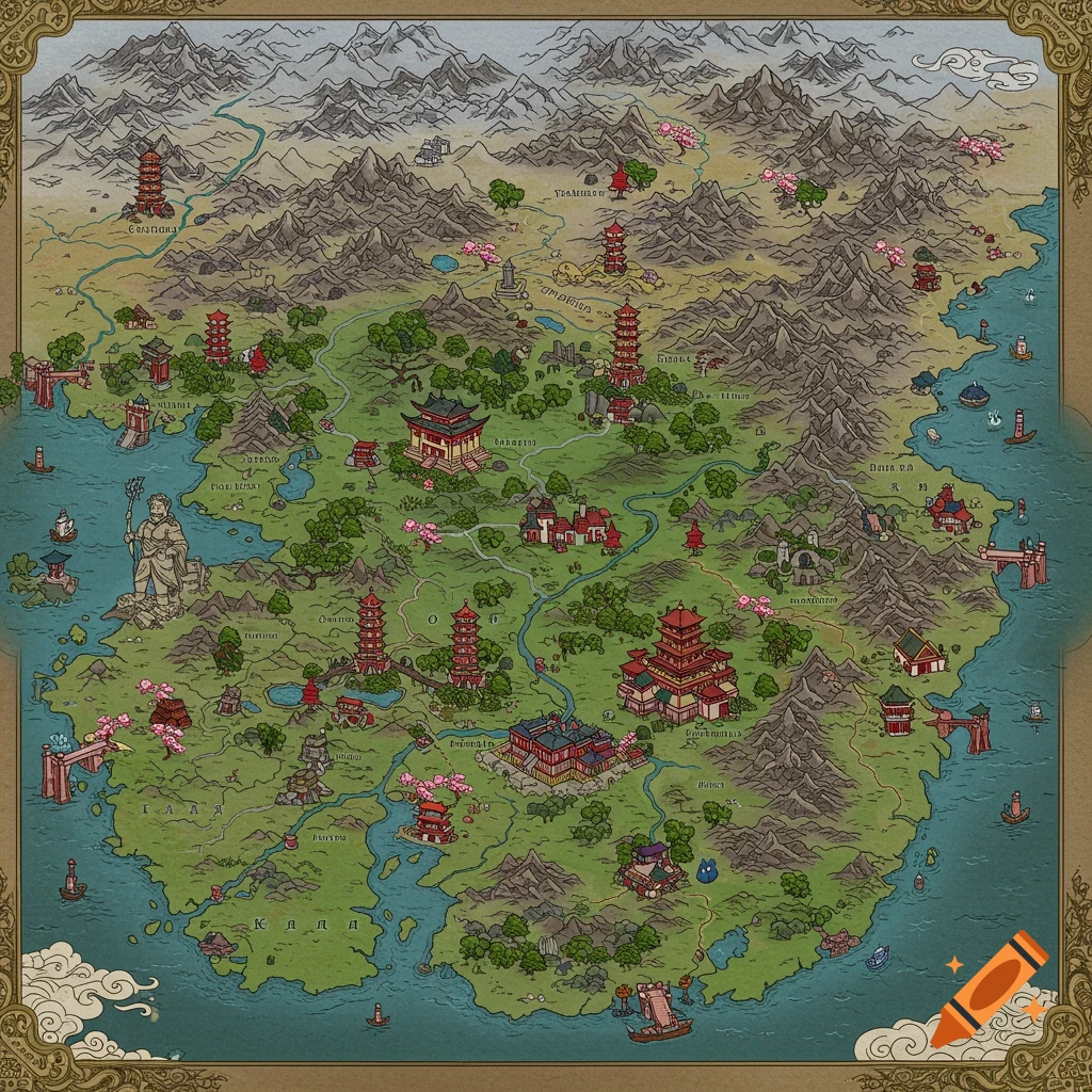
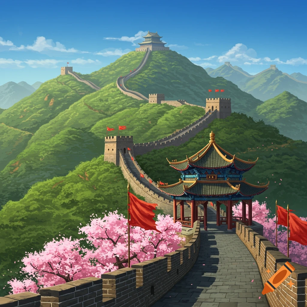
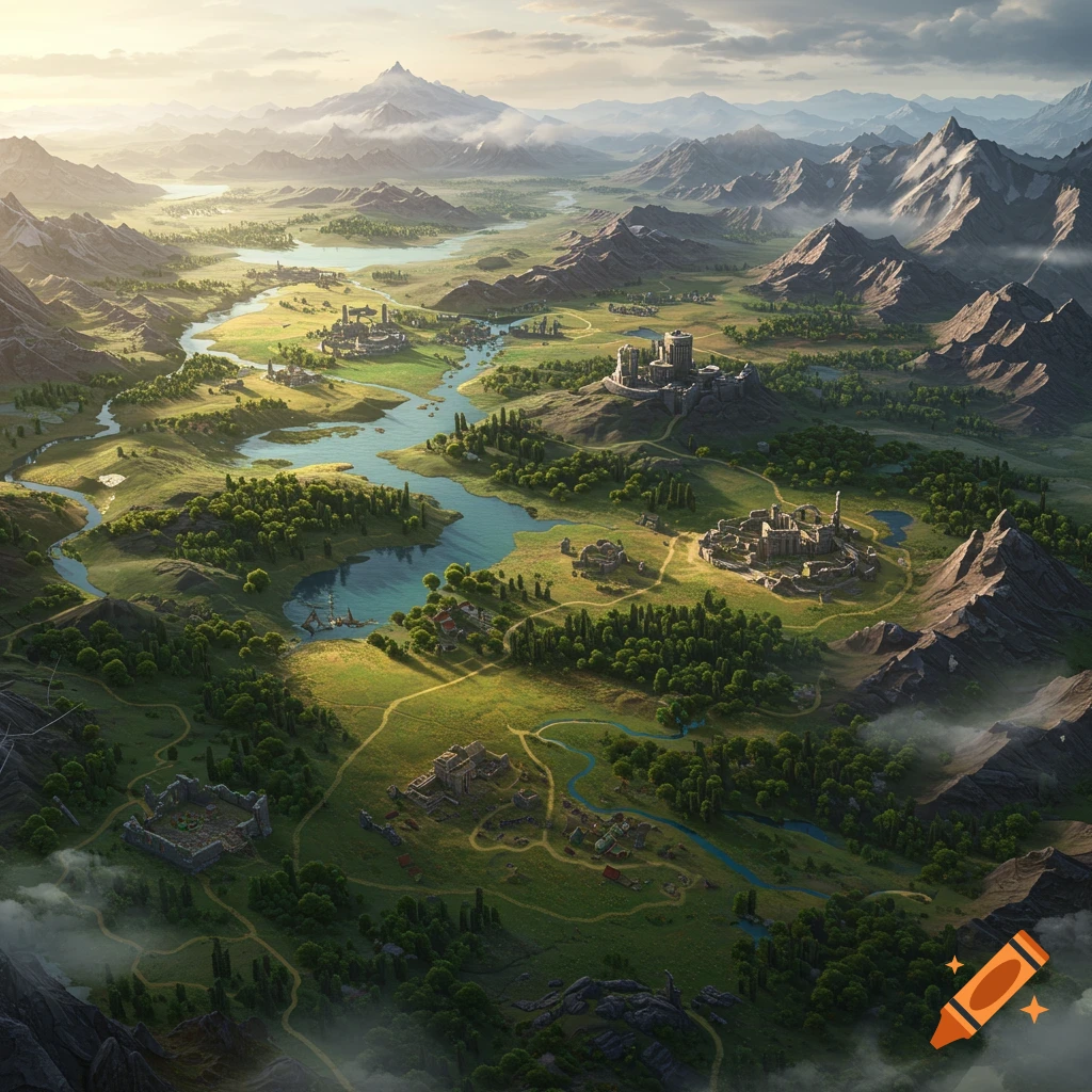
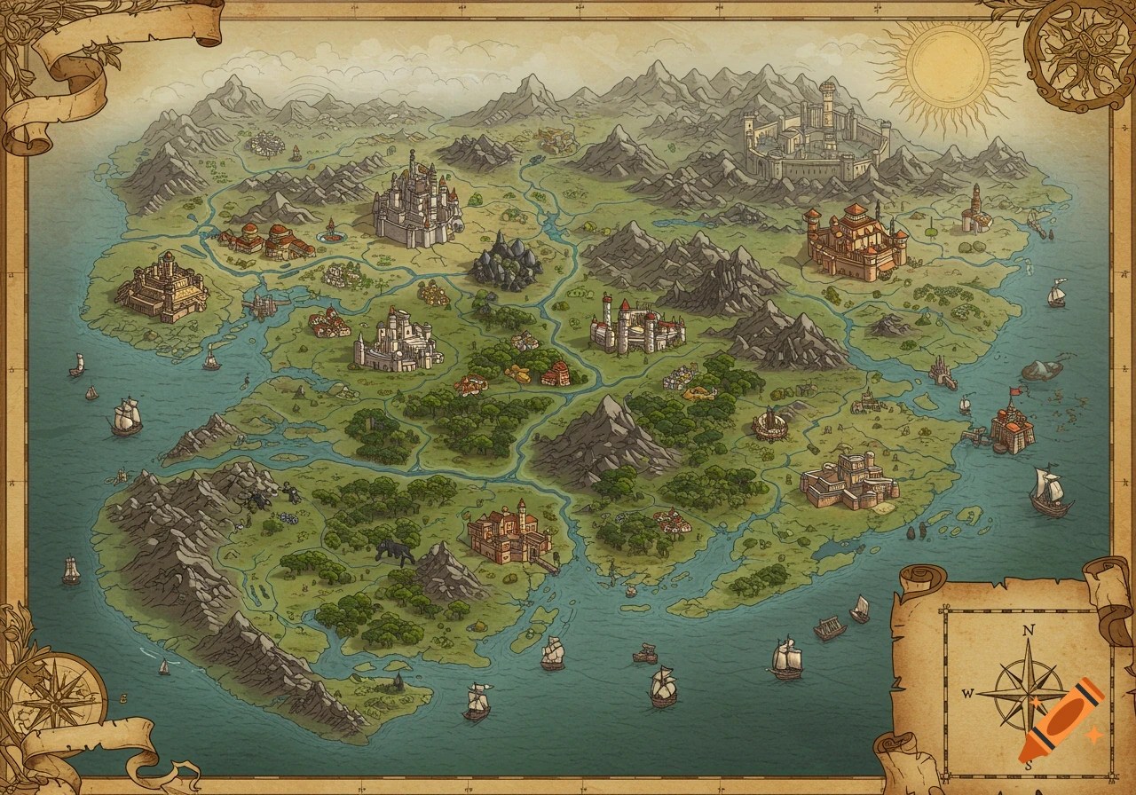
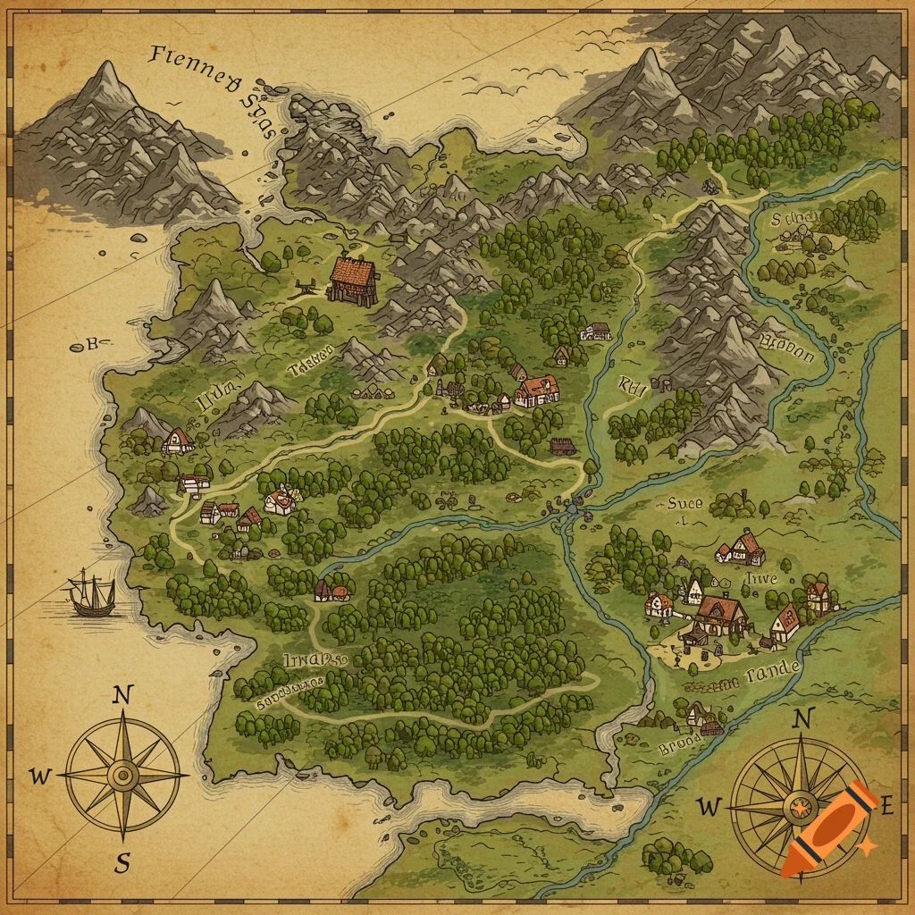
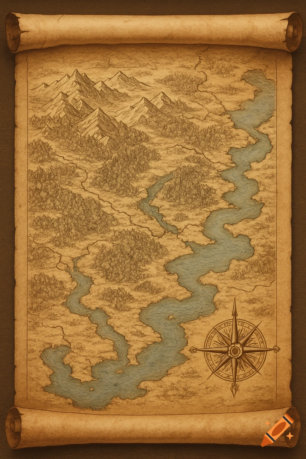
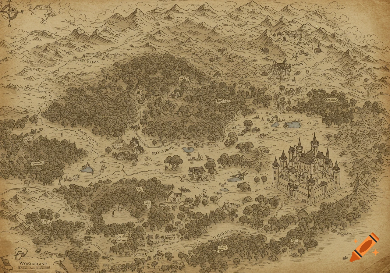
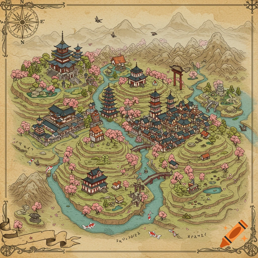
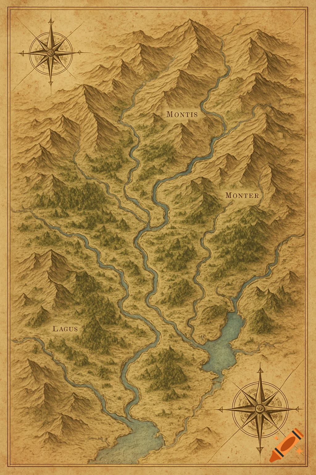
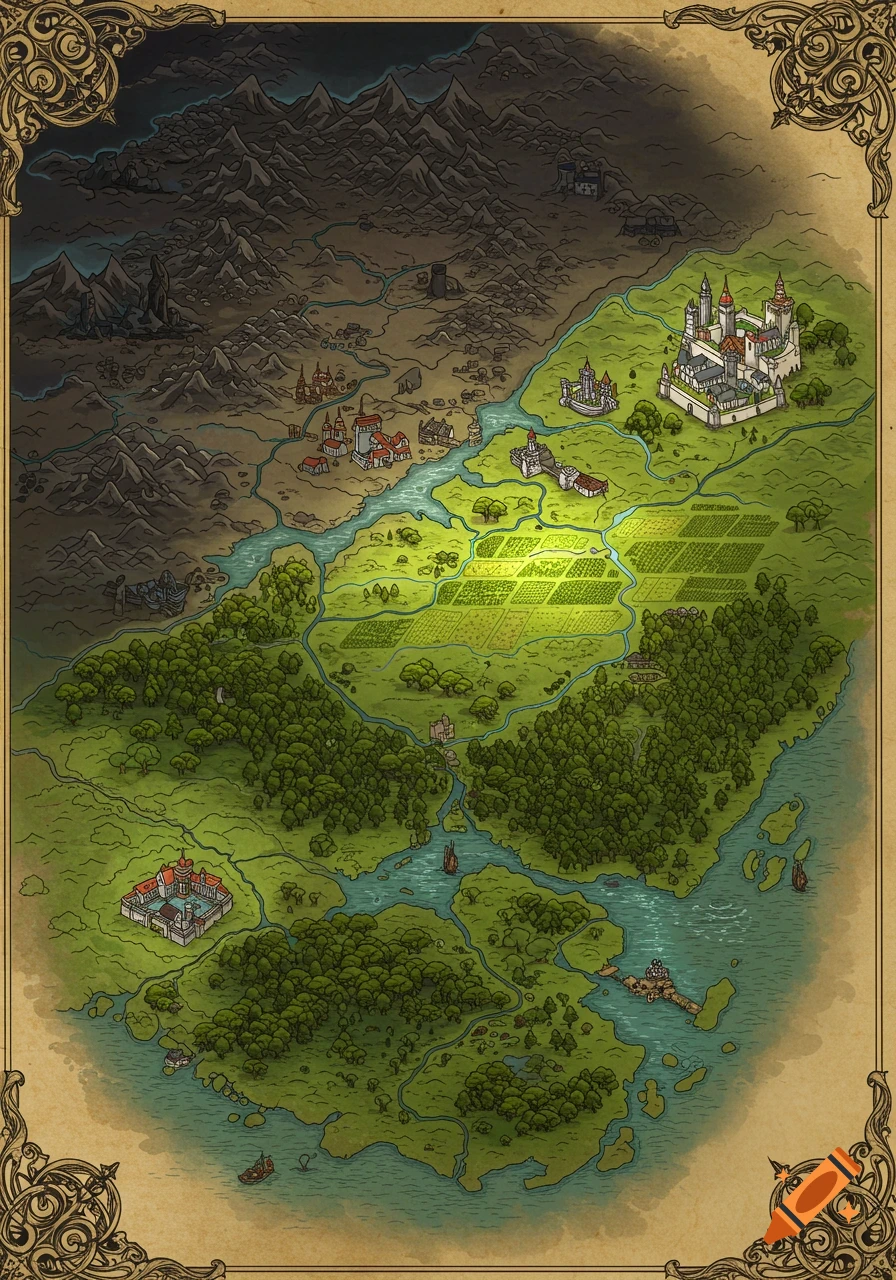
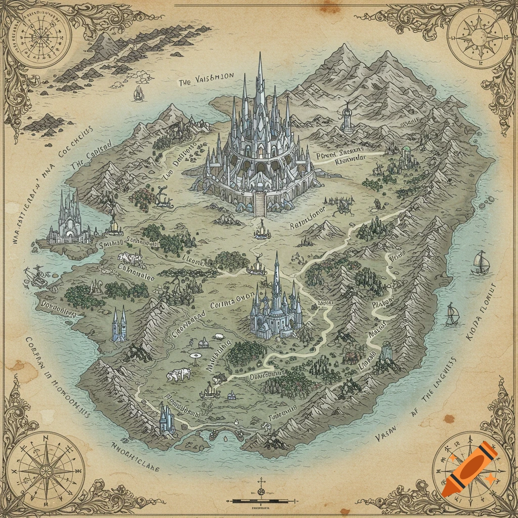
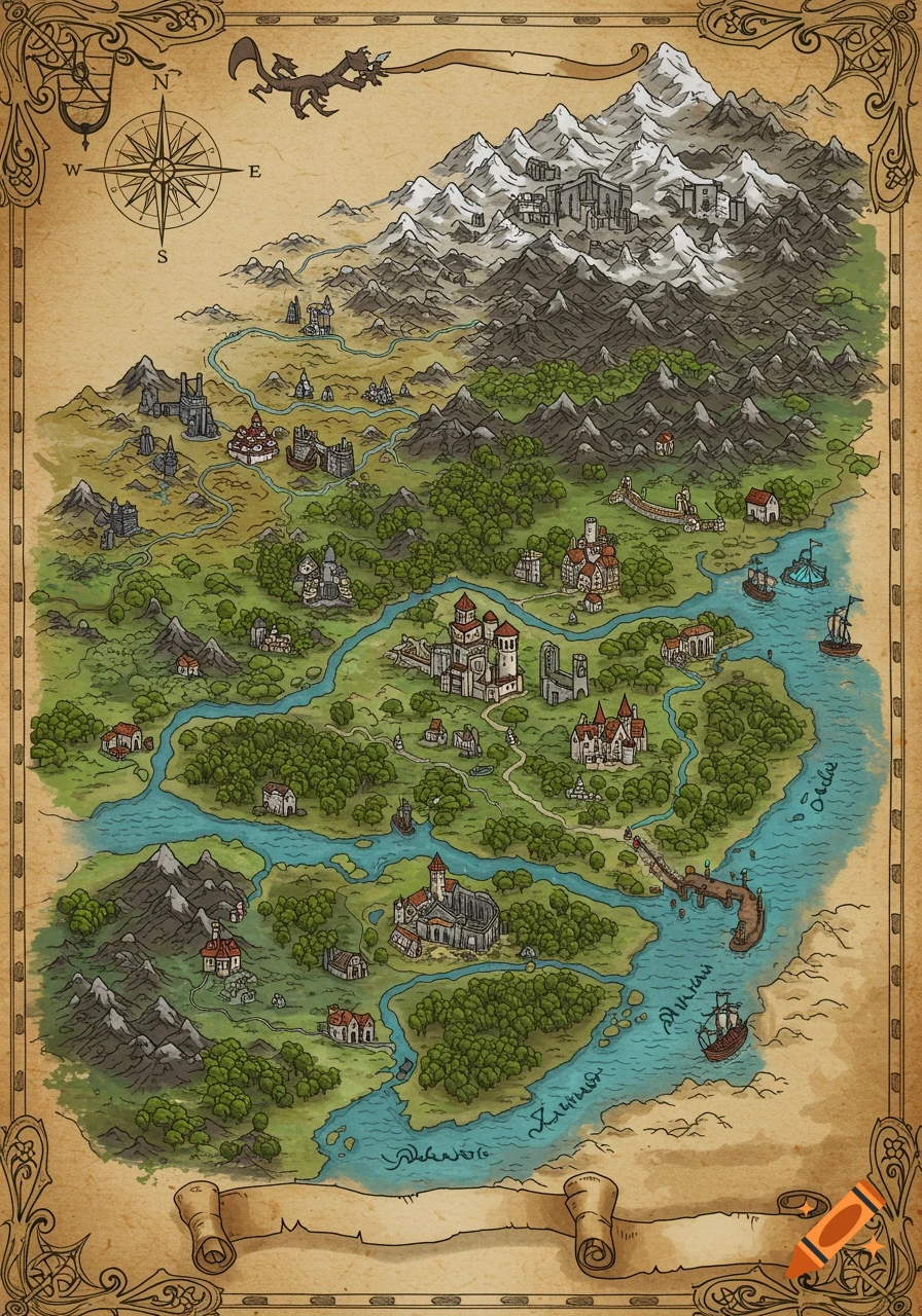
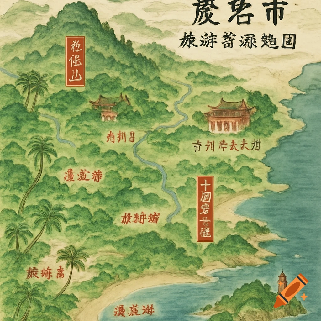
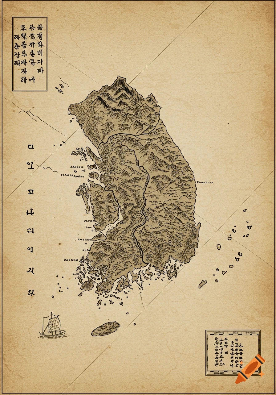
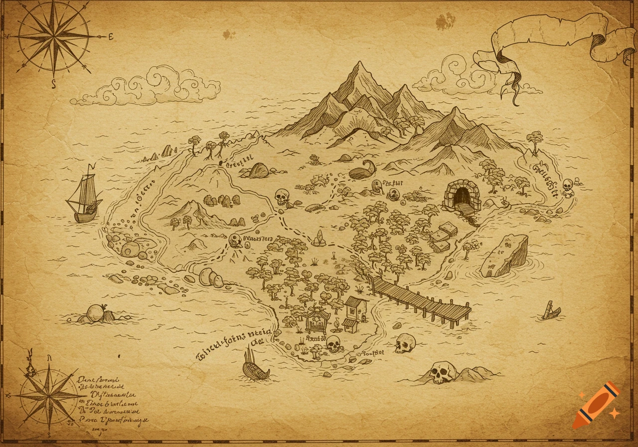
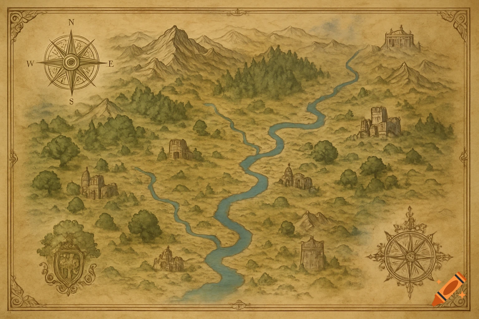
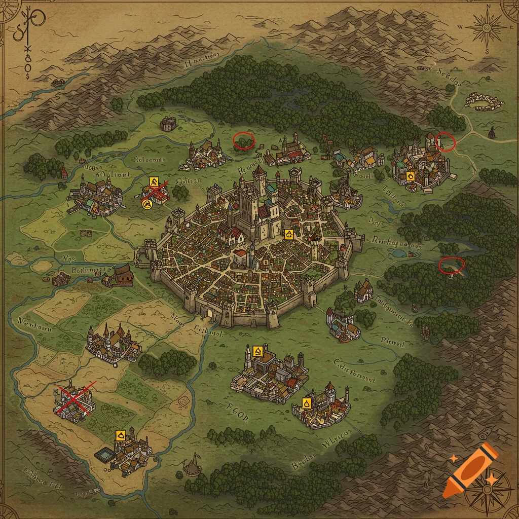
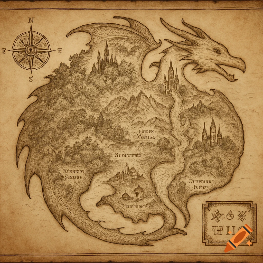
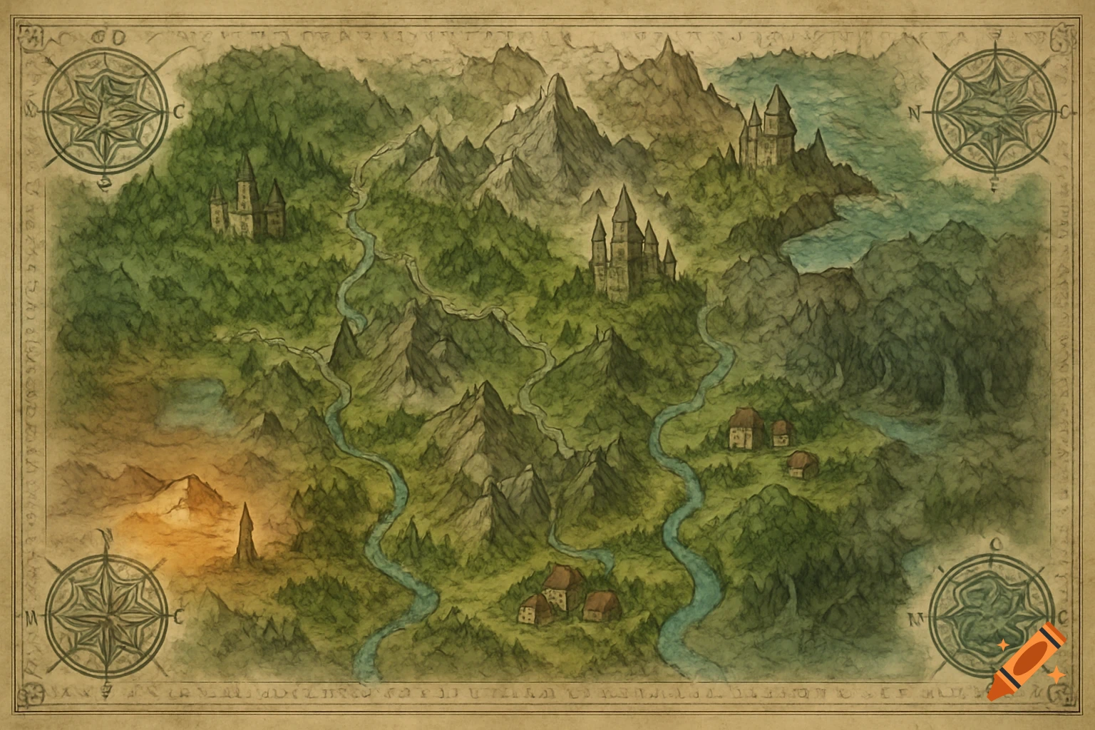
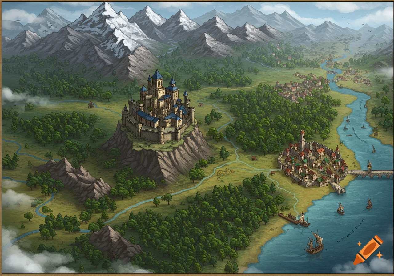
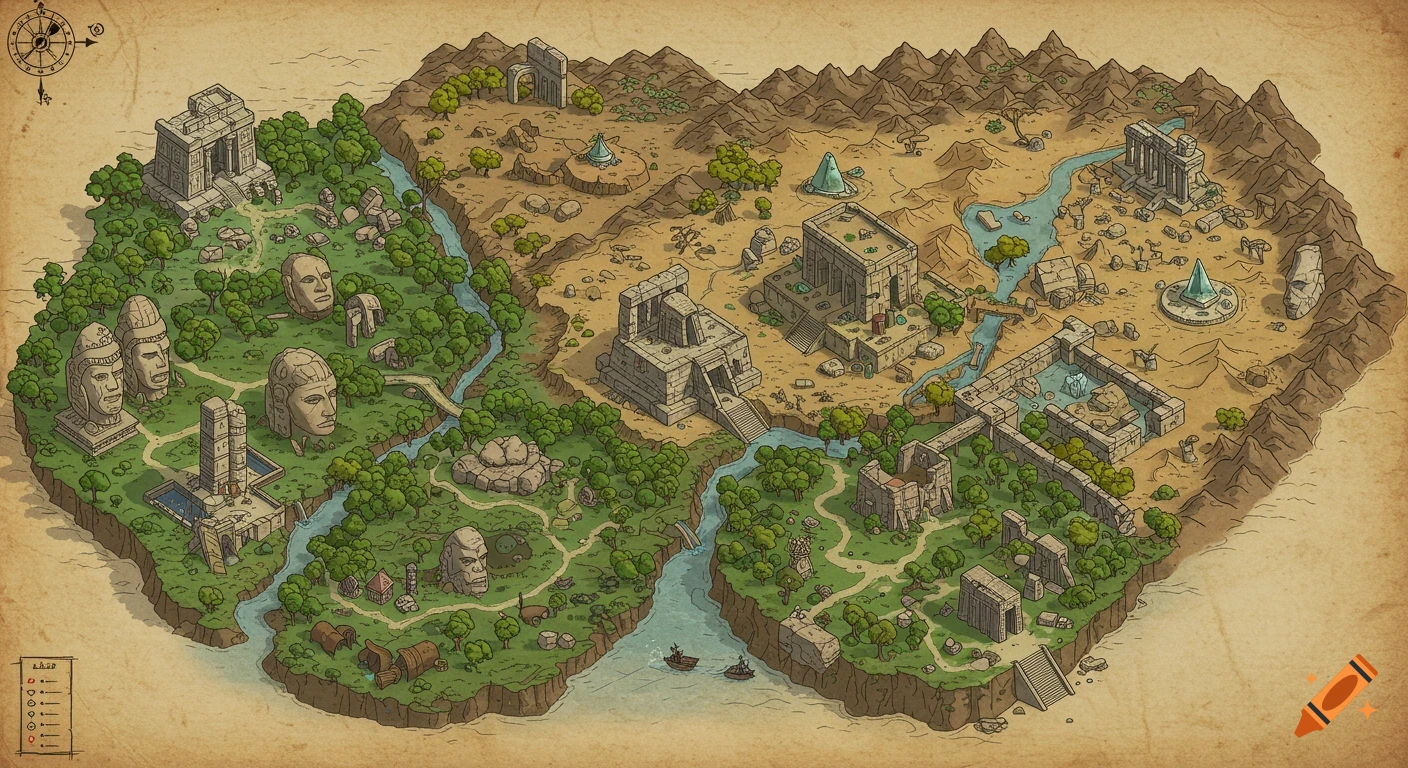
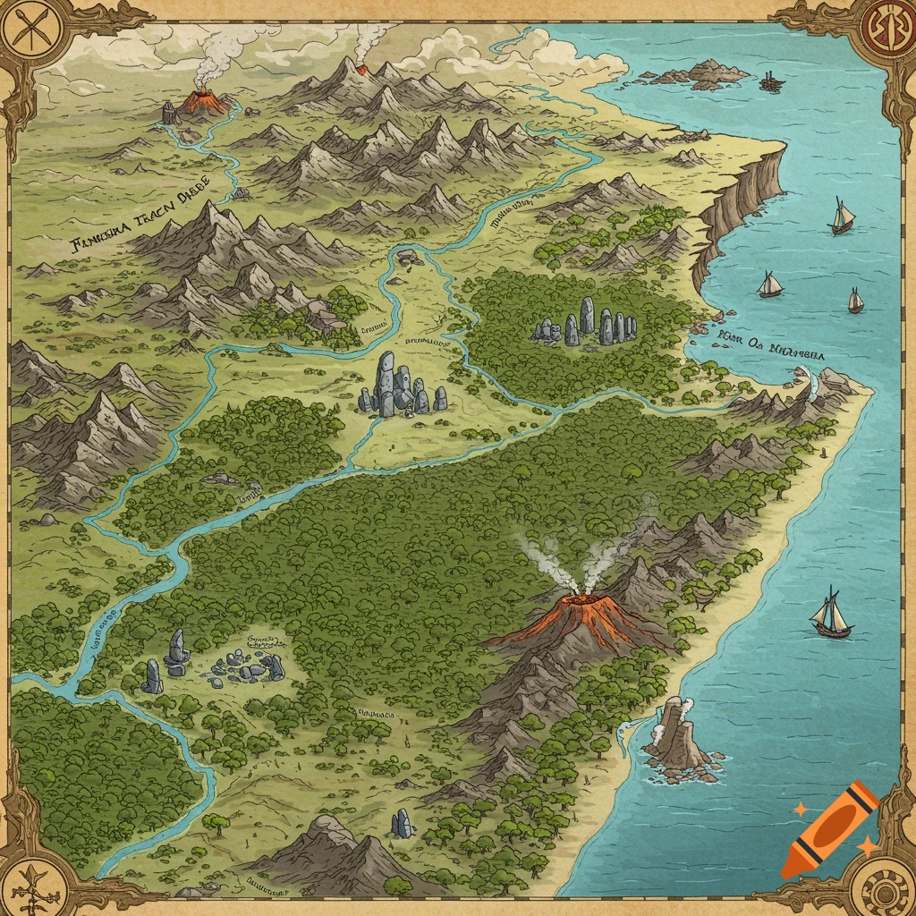
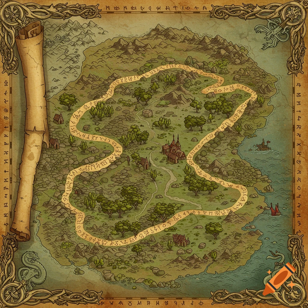
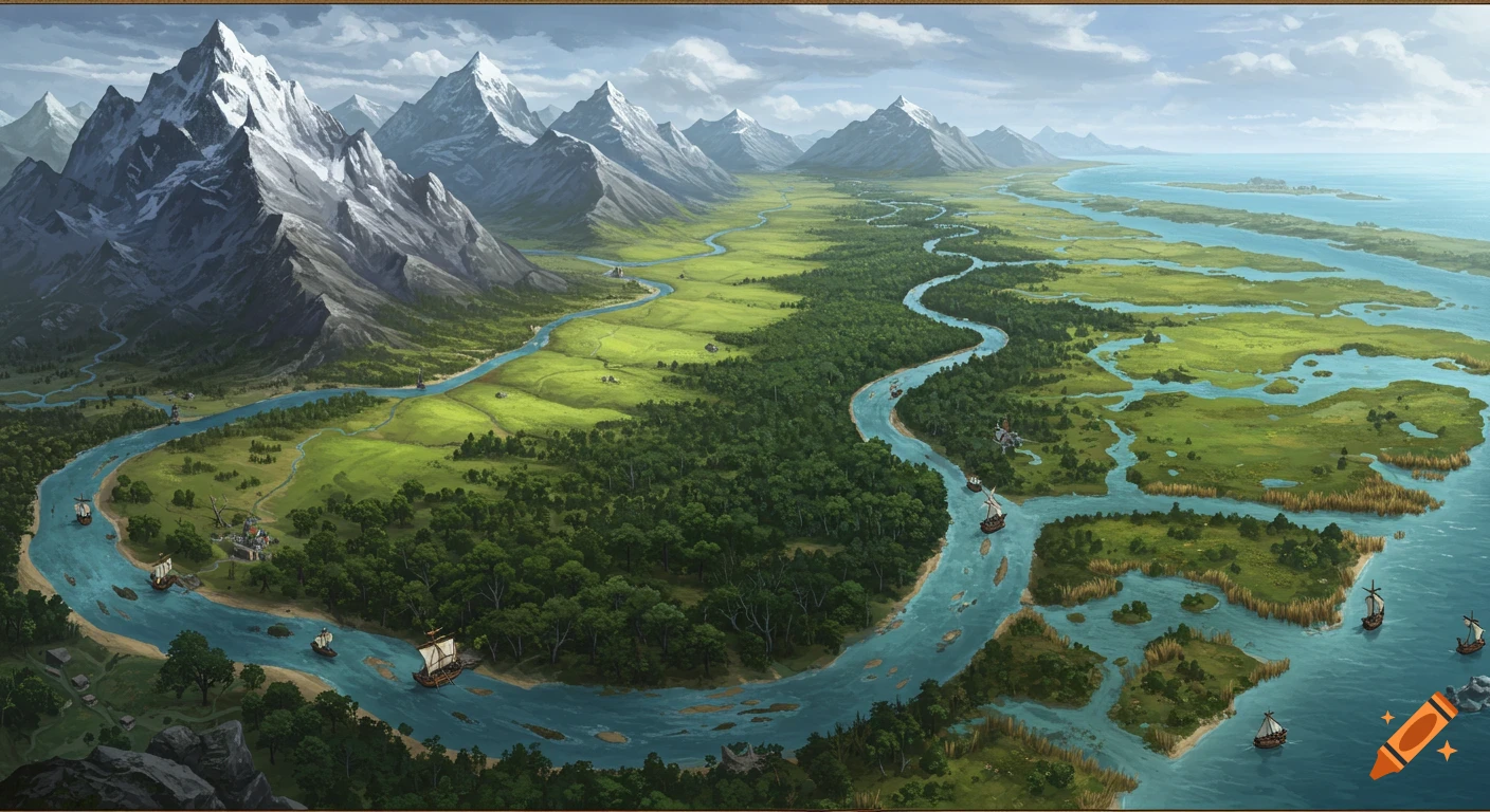
Illustrated ink wash and watercolor map of China on aged parchment, showing mountains, the Great Wall, rivers, and pagodas.

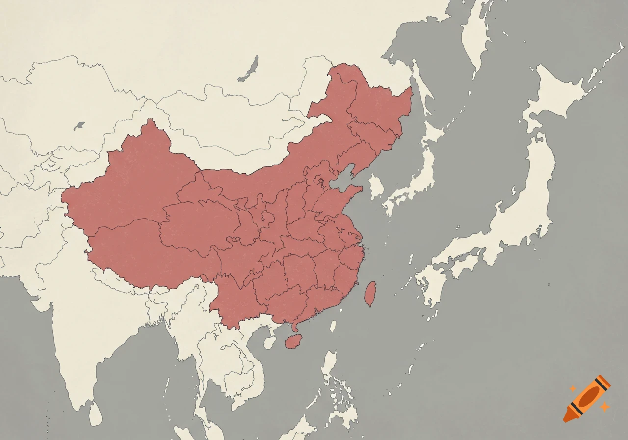
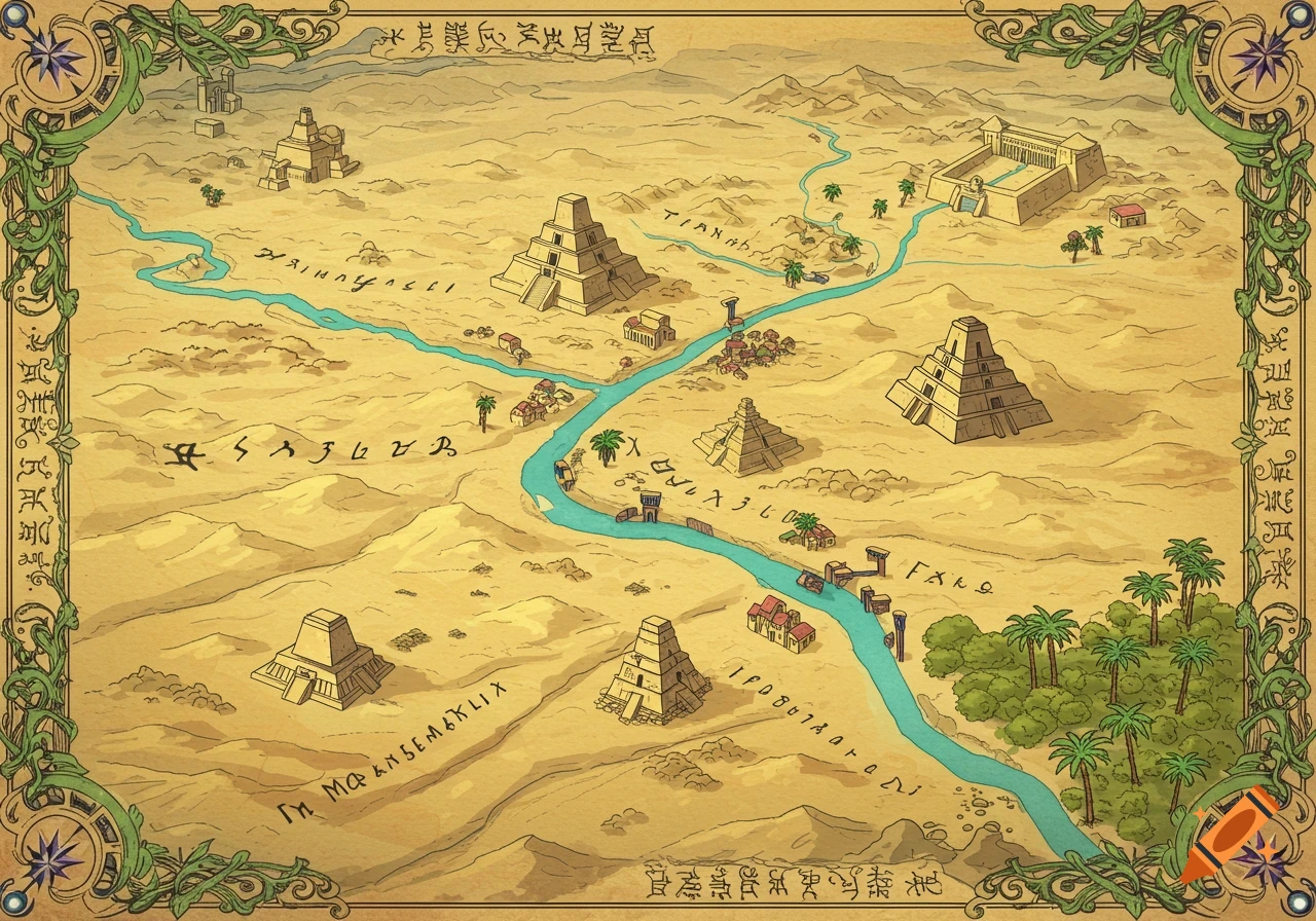
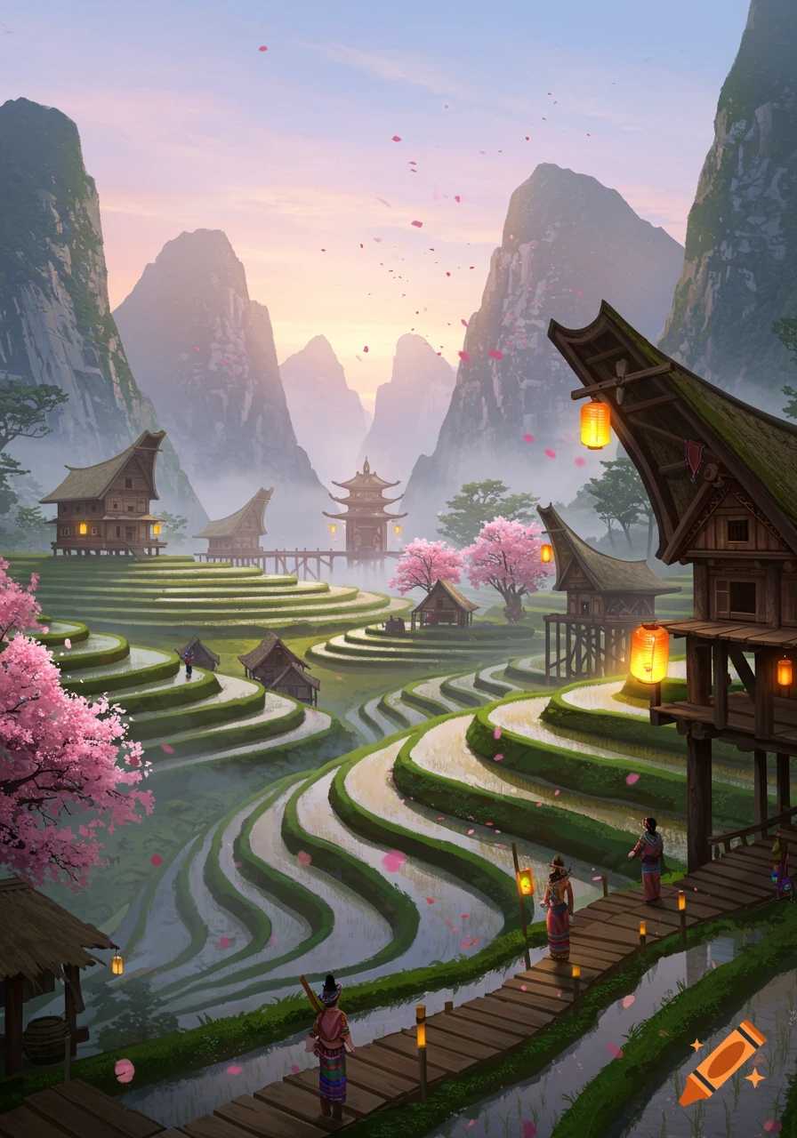
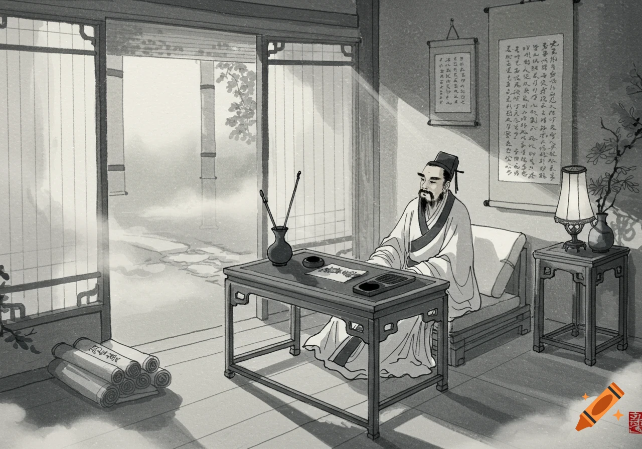
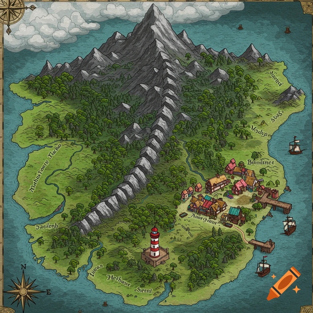
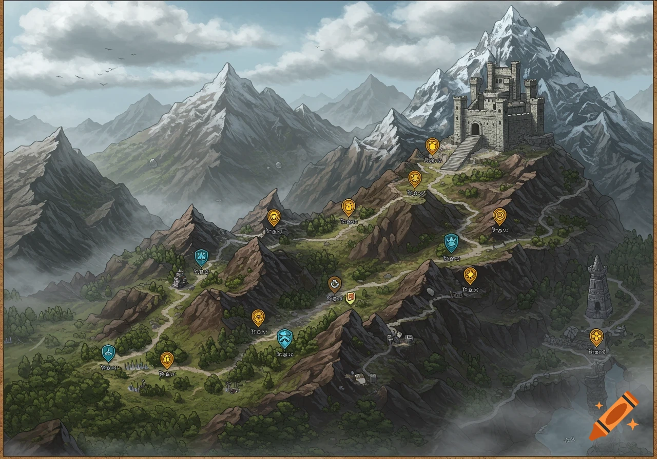
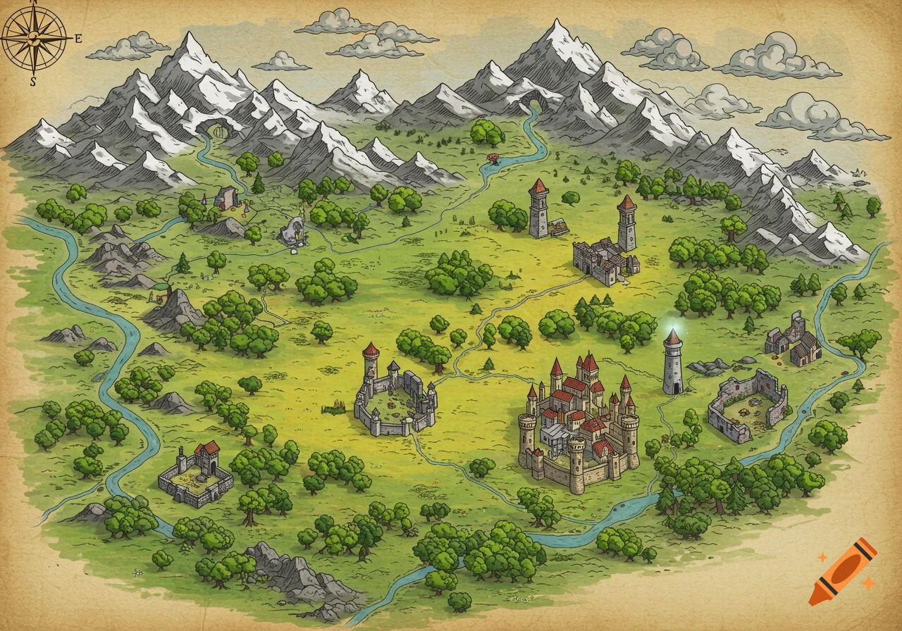
Generate a vertical illustrated map of China in ink-wash + watercolor style, on a warm aged-parchment background, matching the reference image's composition density, layered mountain rendering (soft green foreground fading to hazy blue-gray distance), winding-river visual spine, small pagoda/temple/village vignettes, restrained red accent color for seals and decorative corner ornaments, and overall hand-painted illustrated-map atmosphere. Do not copy the reference image's specific mountain shapes, character figures, stamp graphics, glyph text, or watermark — style only, not content. Base the geography loosely and decoratively on China's general national silhouette: the Yellow River in the north, the Yangtze River curving through the center-south, mountainous terrain thickening toward the west/southwest, karst-peak-style clusters suggested in the south, and the Great Wall motif suggested along the northern edge. This is a stylized cultural/fantasy-map interpretation, not a technically accurate or political map — omit provincial borders, disputed boundaries, and any precise administrative lines. Use minimal, legible labels only for a few iconic, non-disputed features (e.g. "长江", "黄河") if labels are used at all; otherwise keep the board label-free and let the illustration carry the content. No watermark, no studio logo, no caption text, no garbled or fake Chinese glyphs, no copied reference stamp designs. Mehr sehen
More images like this