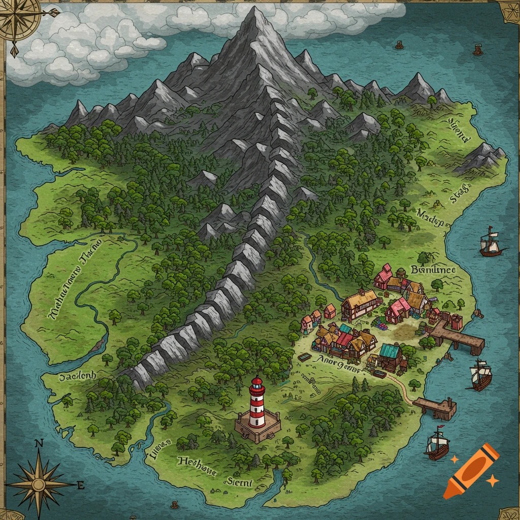
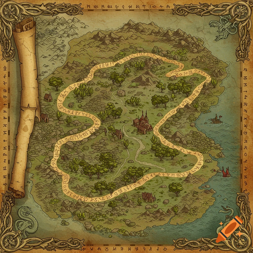
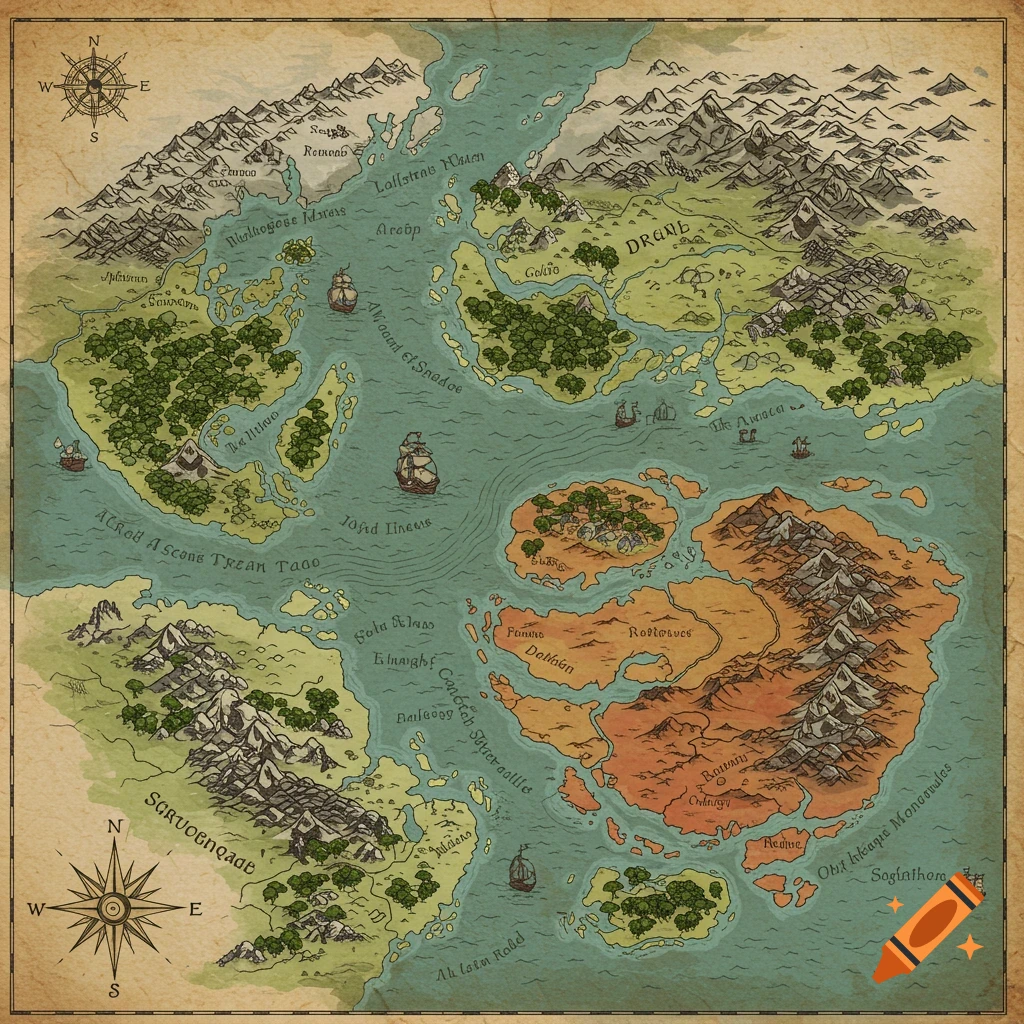
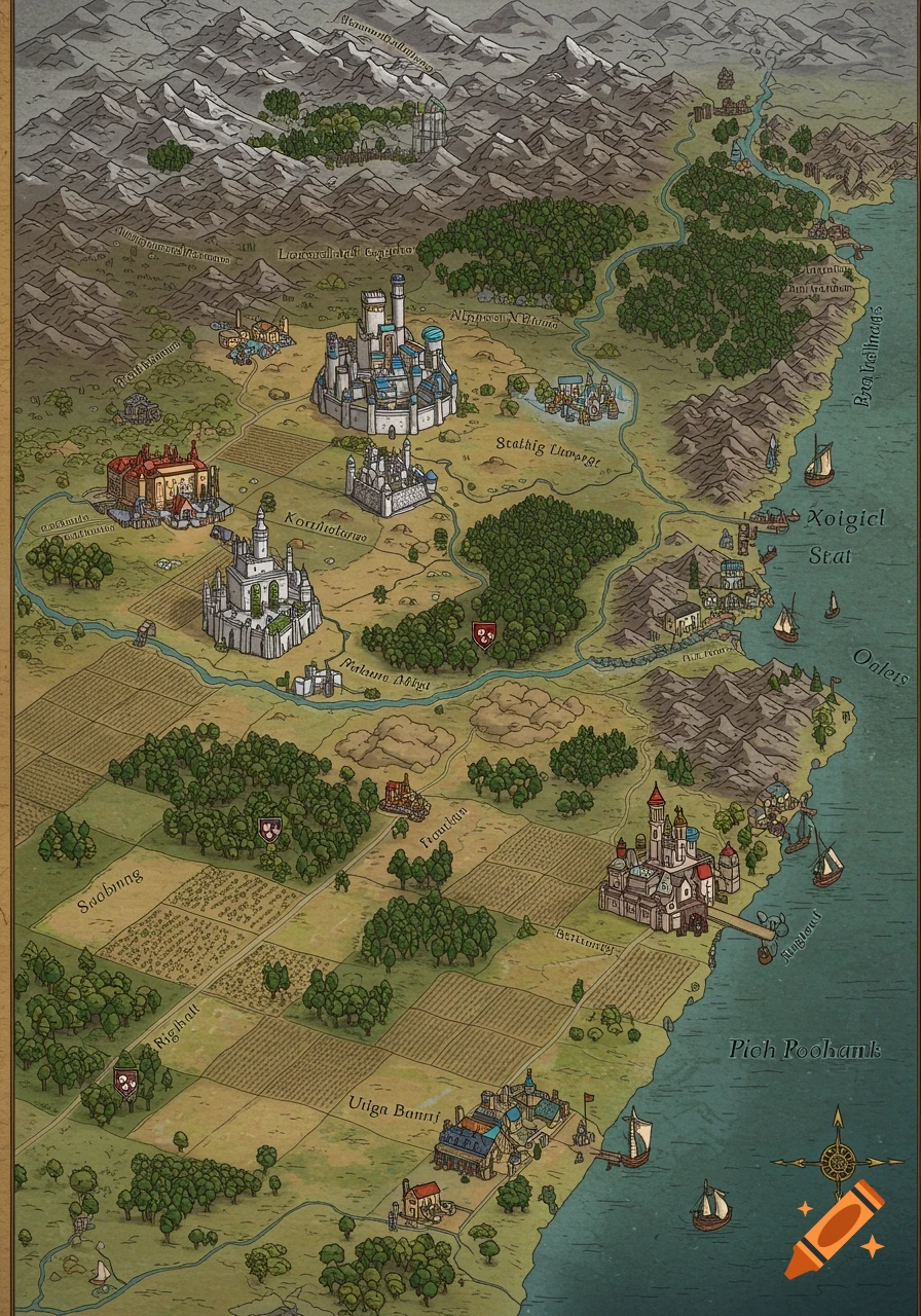
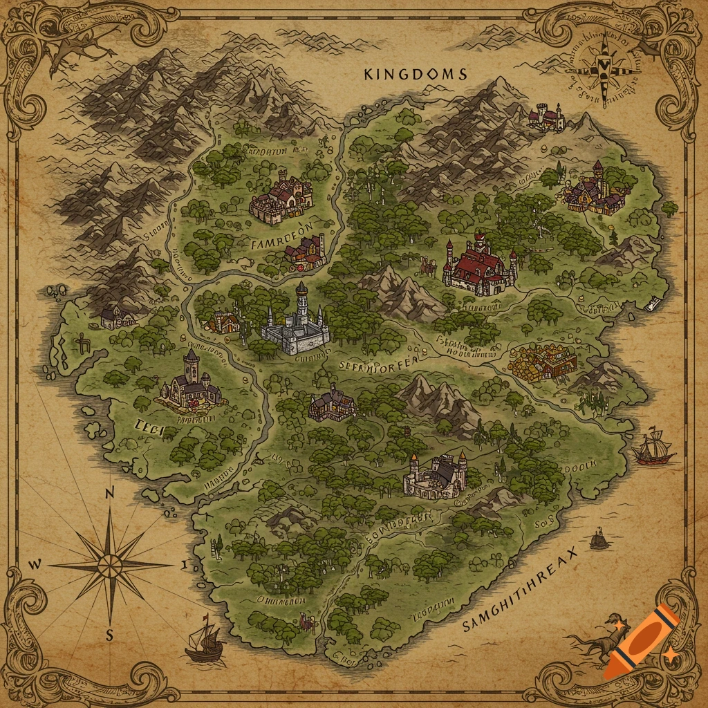
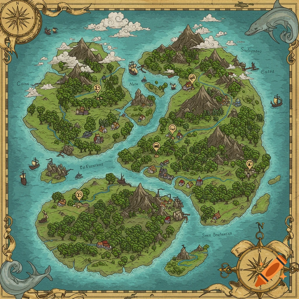
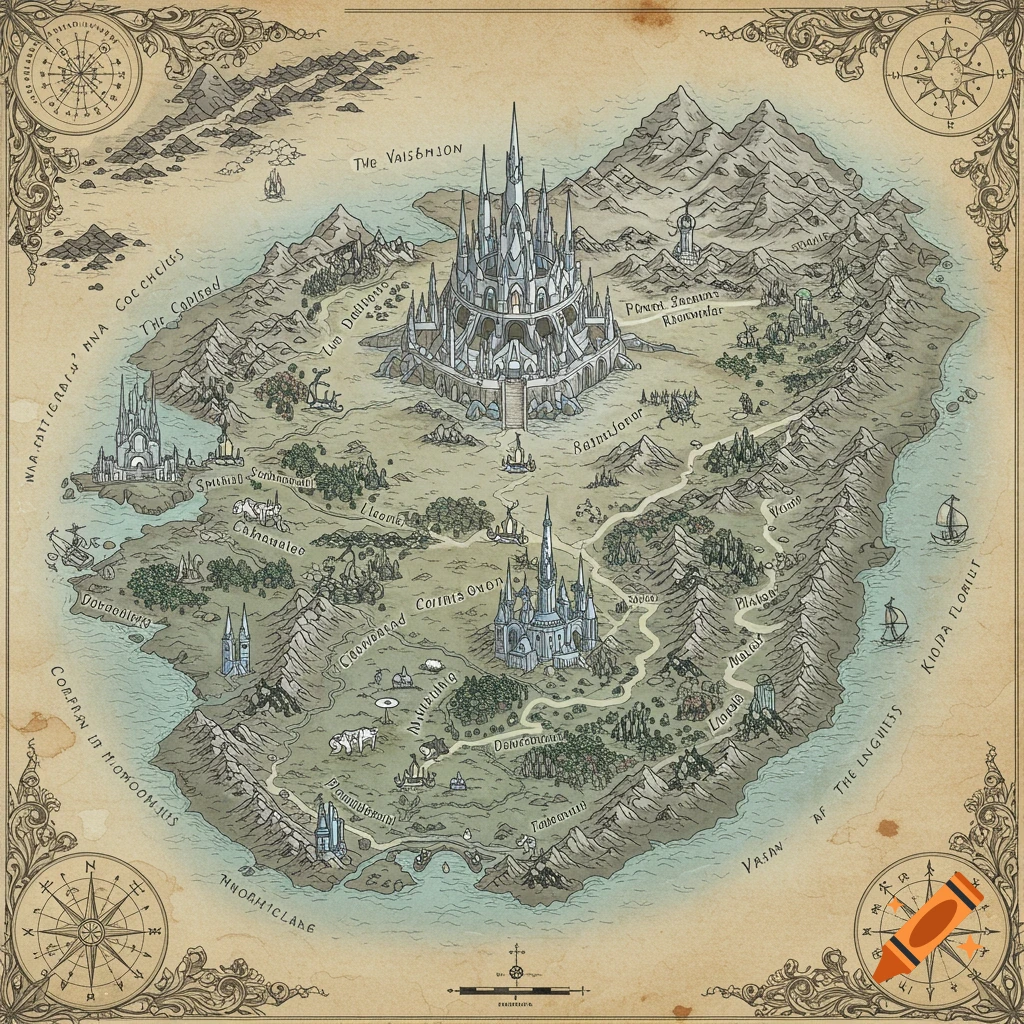
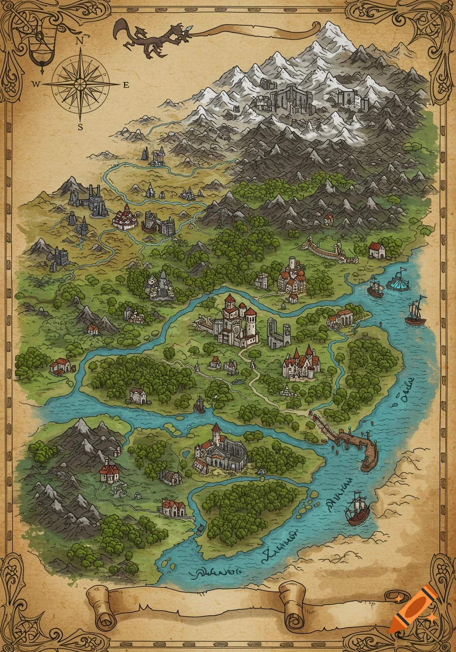
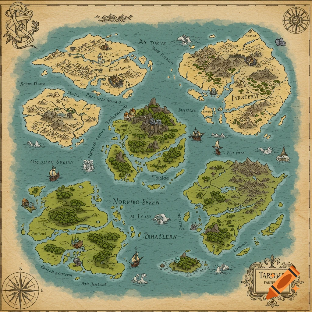
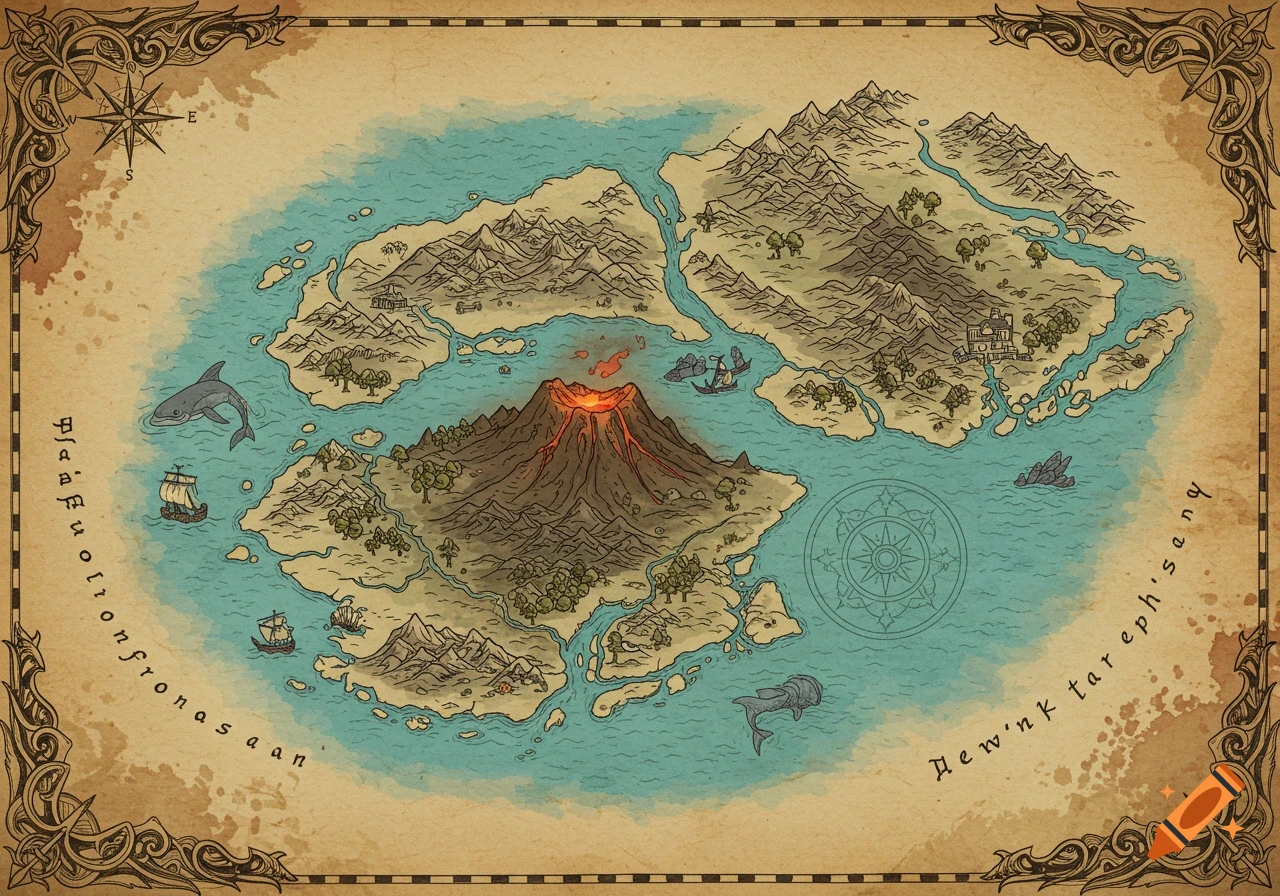
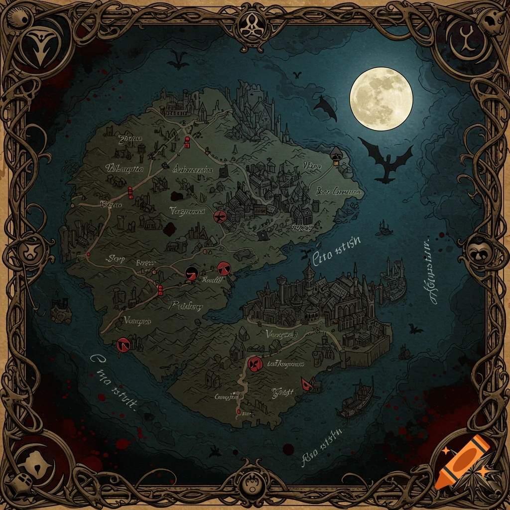
An old-style fantasy map showing Orlumbor, Baldur's Gate, a forest, mountains, and various islands with labels and water currents.

I want you to generate a DND paper map of Orlumbor and the sword coast. i want to establish some small islands between orlumbor and the coastline. make baldur's gate far south along shoreline, and make, trollbark forest due East to Orlumbor. i want 6 small islands (Kettle Rock,Grey Gull Spit, Shingleback Shoal, Driftwold cay, Widowskep, Saltthumb key, and Lanternwash Isle which has a lighthouse) between orlumbor and the coast. i also want line drawn on the map representing water currents, and for larger currents to move right past Kettle Rock and driftwold cay. i want NO currents near Lanternwash Isle. Mehr sehen
More images like this