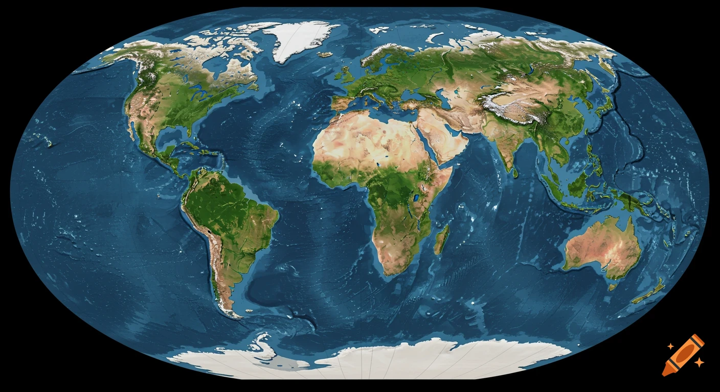
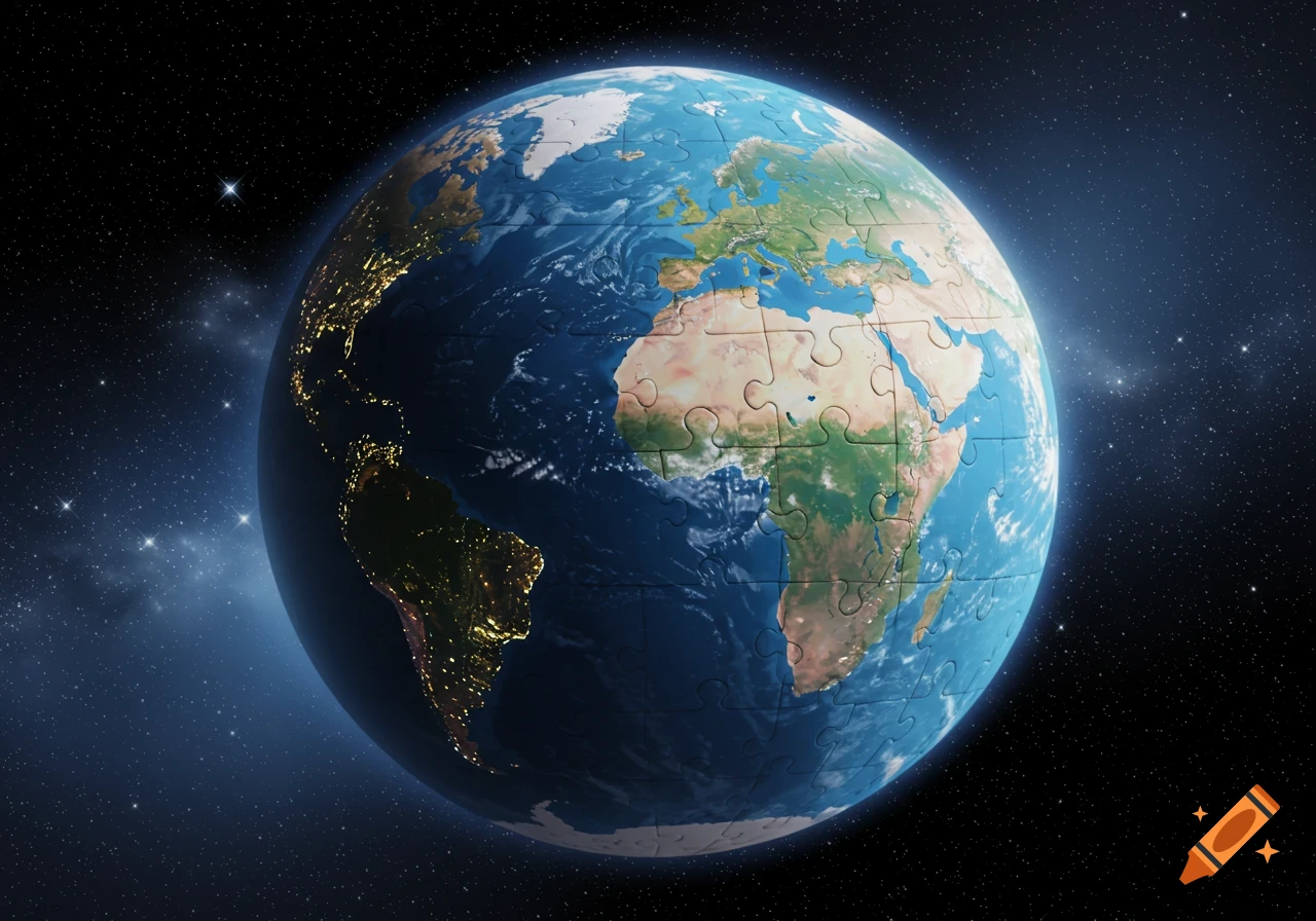
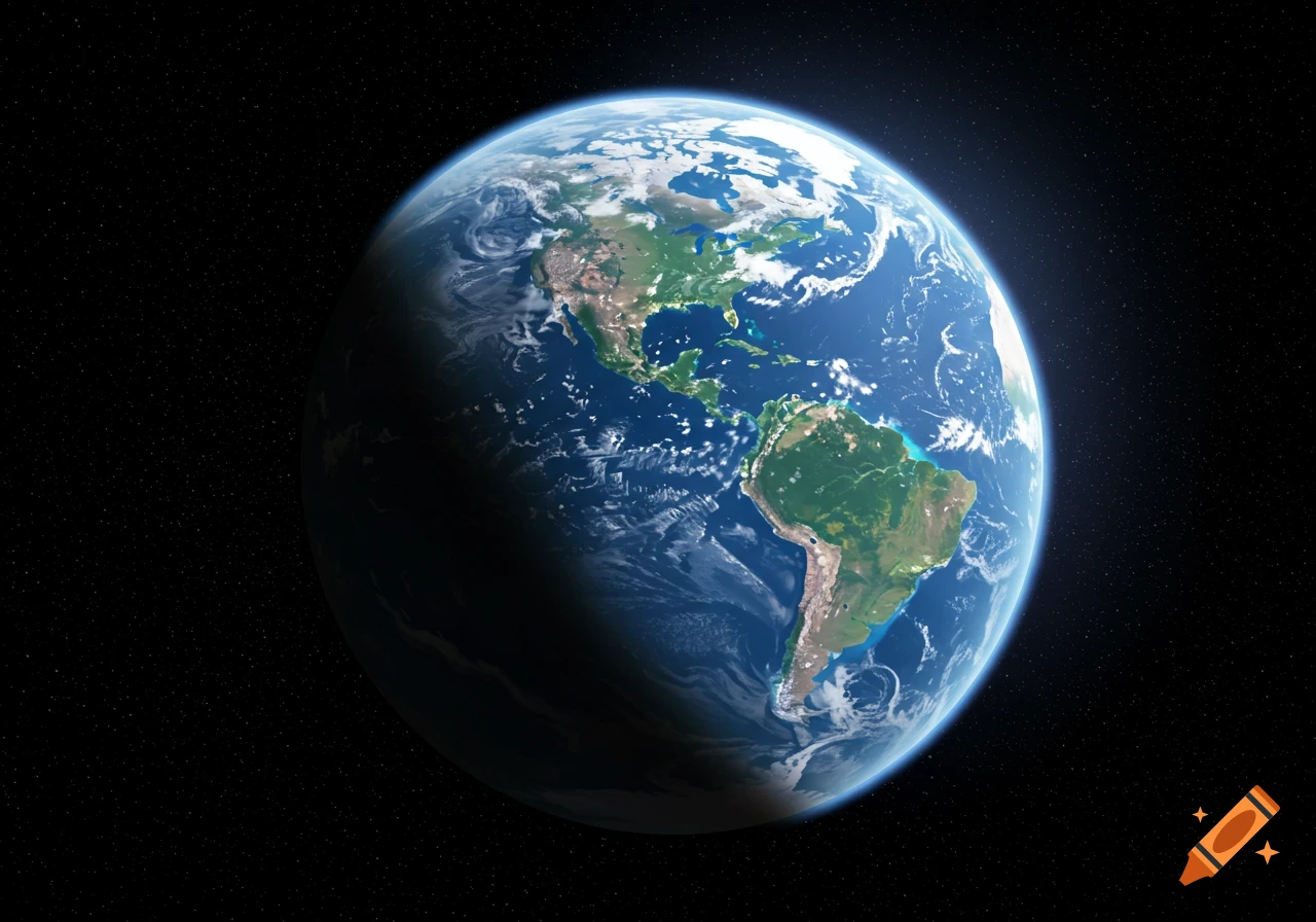
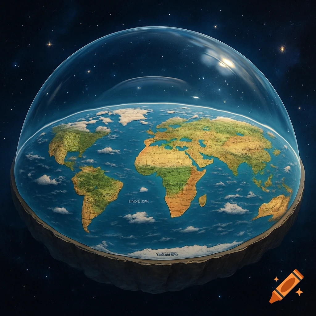
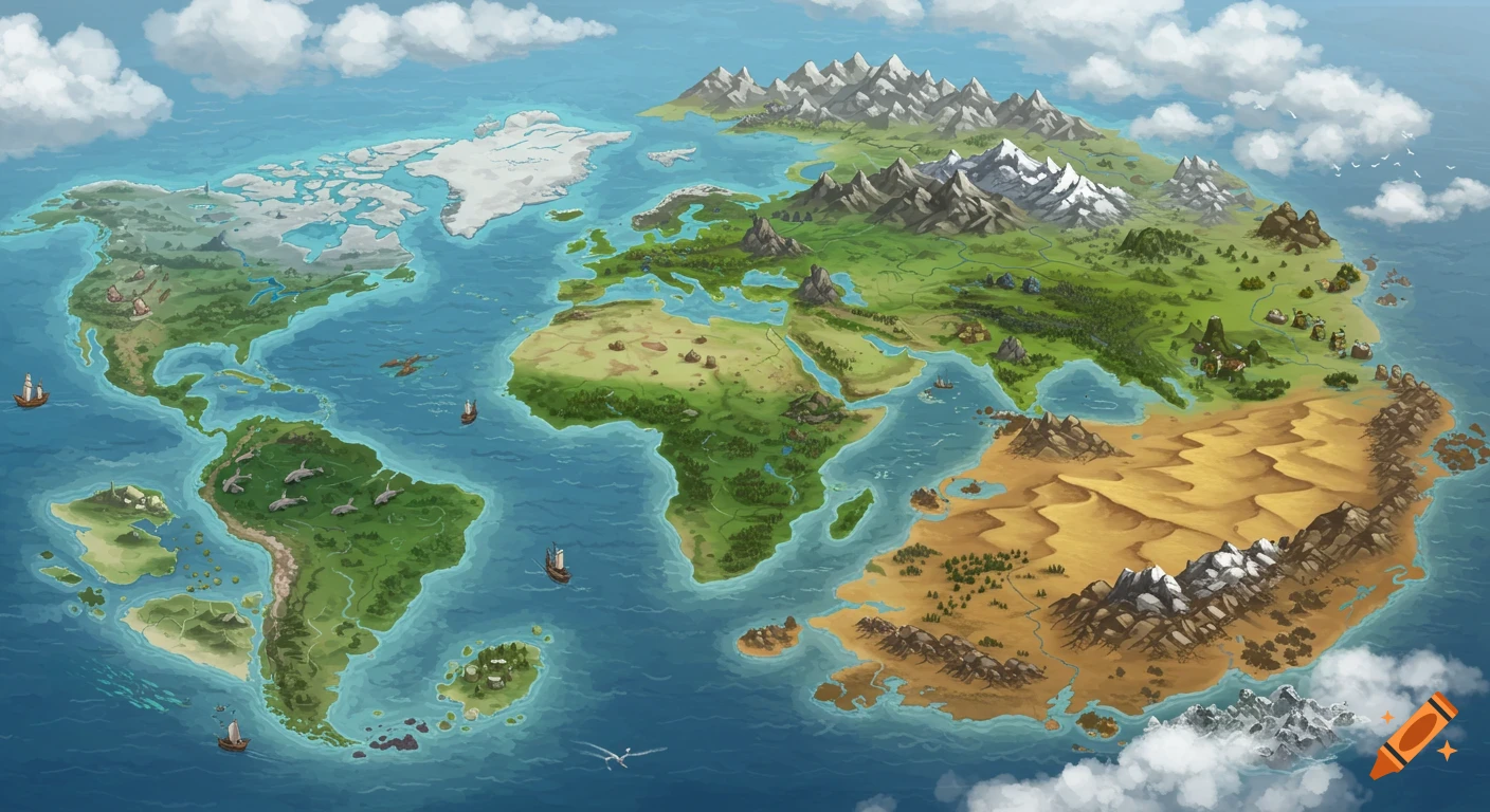
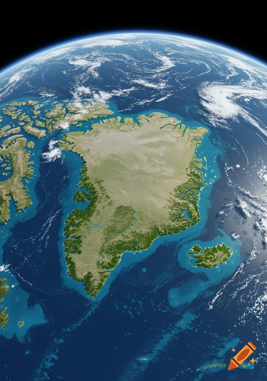
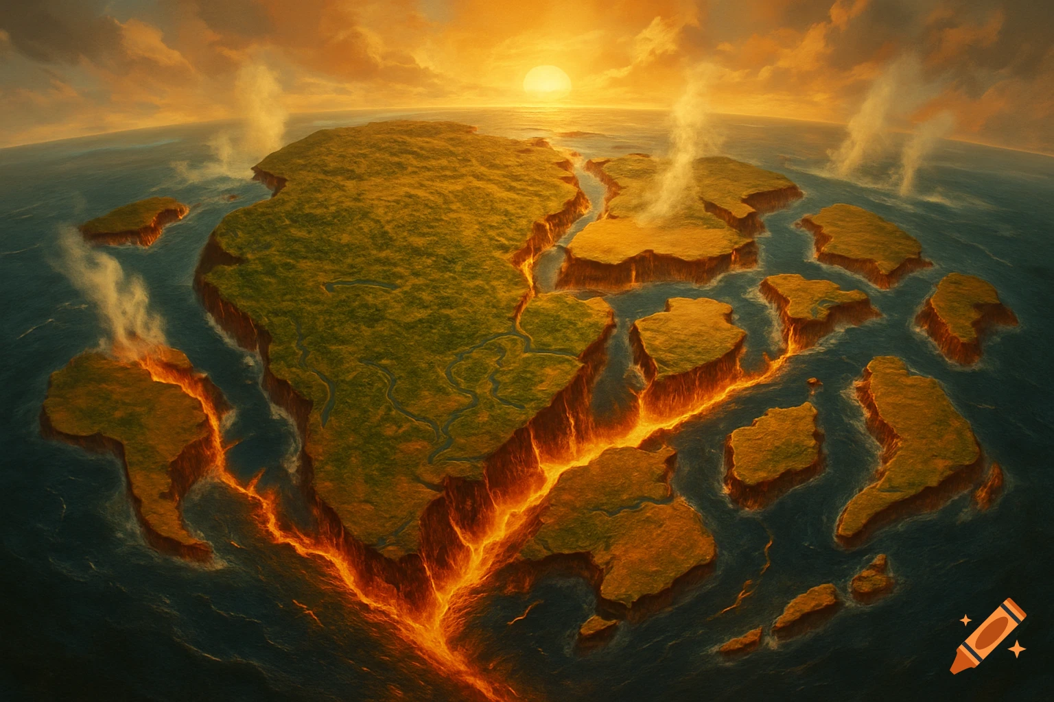
Paleogeographic map of Earth 250 million years in the future, showing the supercontinent Pangaea Proxima from a top-down view.
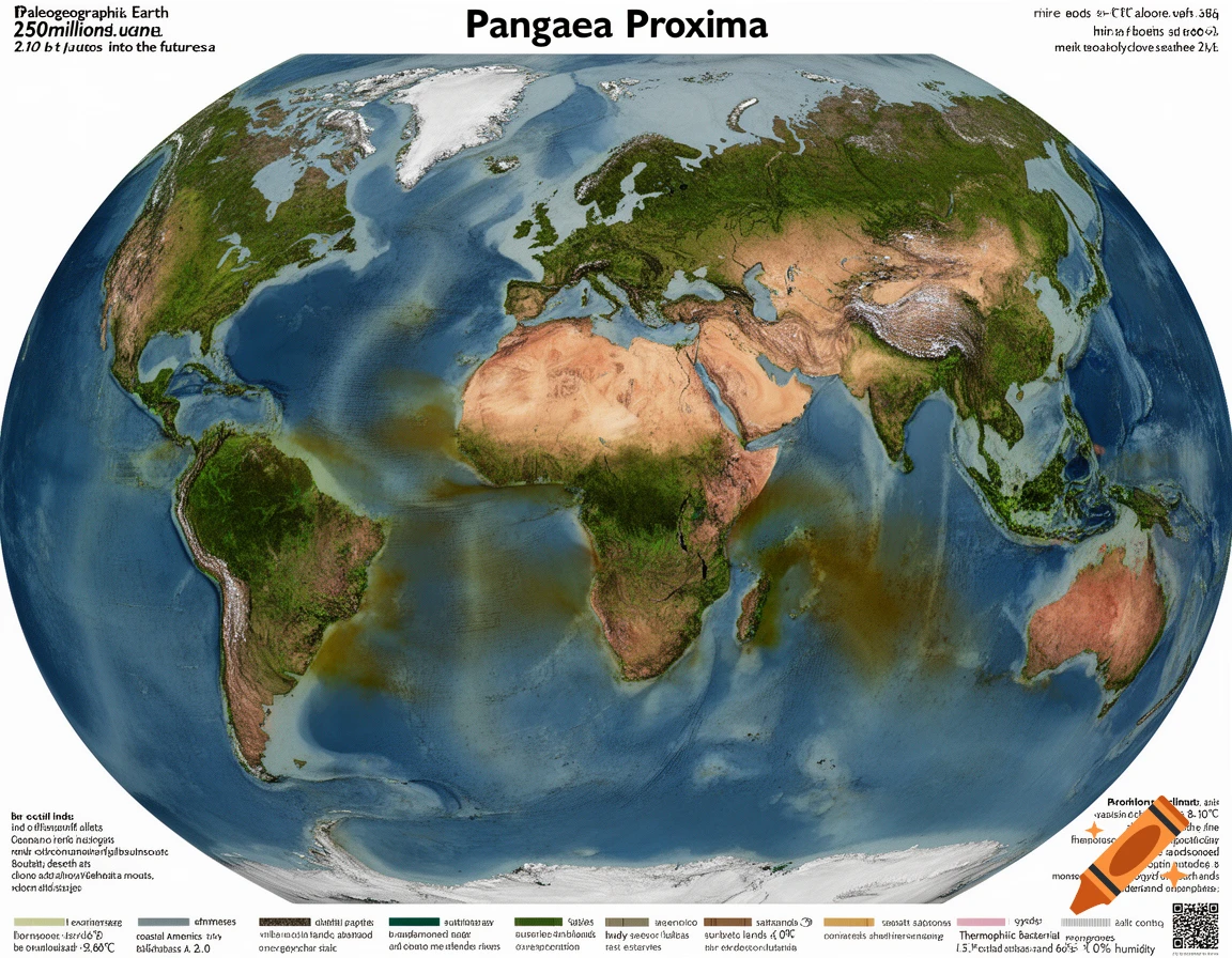
Paleogeographic map of Earth 250 million years in the future, top-down orthographic projection, scientific illustration style. Supercontinent Pangaea Proxima centered on the equator. Specific arrangement: - North America fused to the north of Africa and Europe. - South America attached to the west of Africa. - Eurasia, India, and Southeast Asia forming the northern and eastern edge. - Australia and Antarctica fused together forming the southern boundary. - The southern part encloses a large, irregular inland sea between Australia, Antarctica, and southern Asia. This sea connects to the global ocean Panthalassa 2.0 only through a narrow strait in the southeast. Geography: - Interior is a vast arid plateau with salt flats, dry lake basins, no permanent rivers. - Eroded mountain ranges 1.5-2.5 km high along ancient suture zones, appearing as rounded plateaus and hills. - Heavily indented coastline with massive deltas and estuaries extending 100-200 km inland. Climate: - Hothouse climate, 8-10°C hotter than today. - Interior super-desert with 50-60°C summers and extreme aridity. - Coastal zones with extreme monsoons for 6-8 months, frequent category 5 cyclones, 90% humidity. Biosphere: - Interior: barren, microbial mats, lichens, extreme xerophytes only. - Coastal fringe: low scrub, heat-resistant conifers, cycads, mutated mangroves with thick waxy leaves and salt crystals on foliage. - Ocean near coast green-brown from thermophilic bacteria. Style: realistic topography with Mehr sehen
More images like this