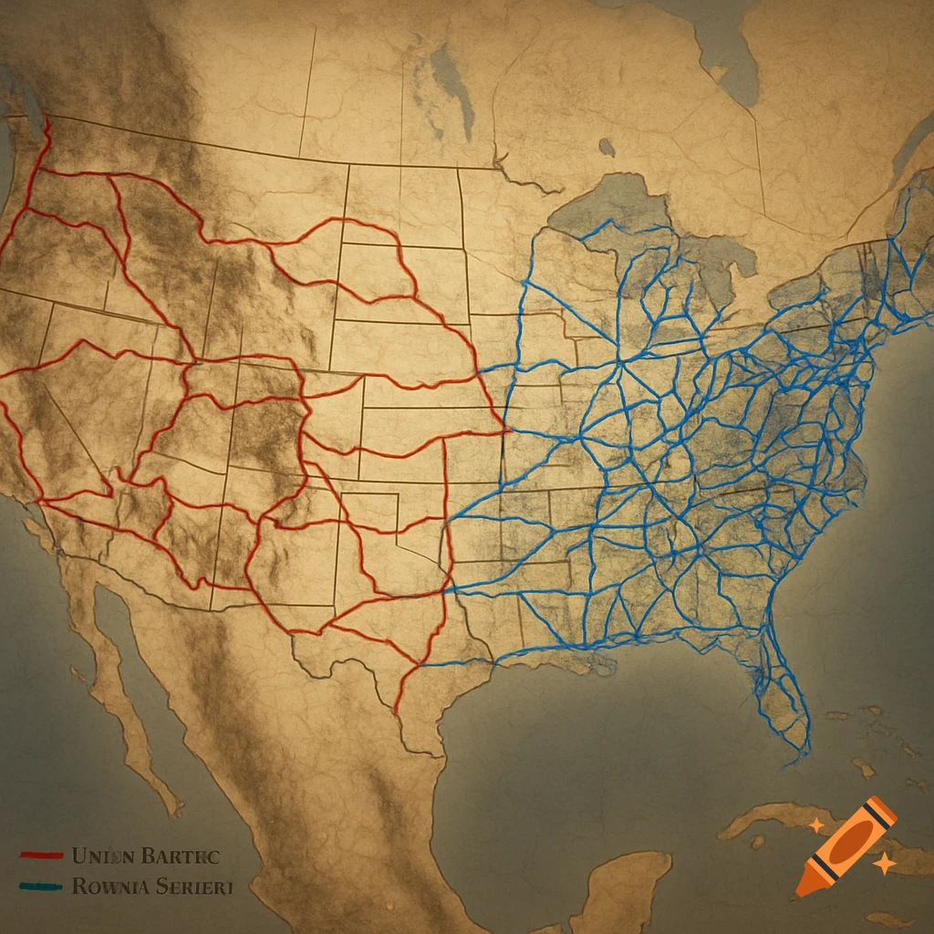
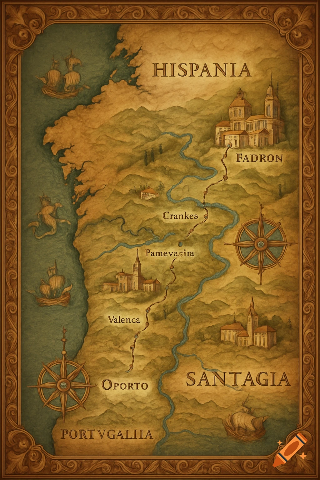
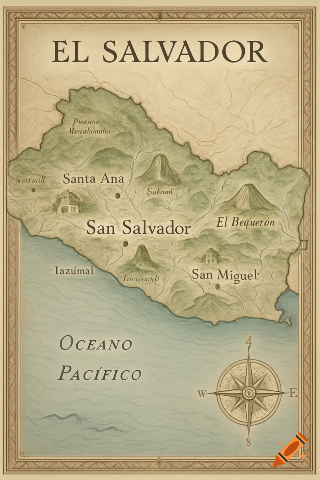
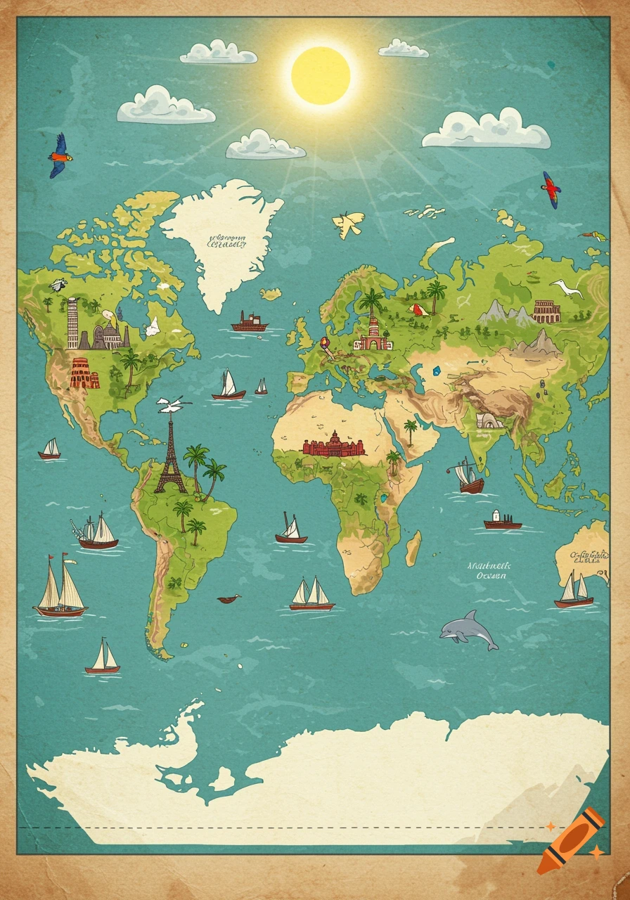
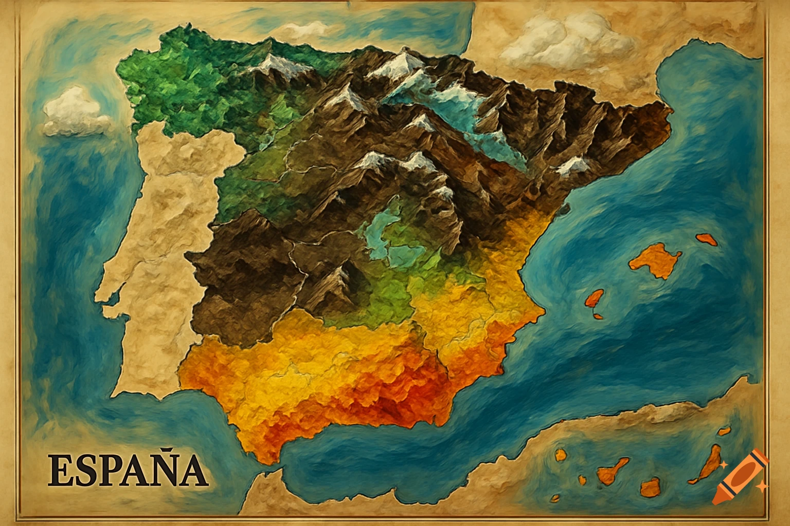
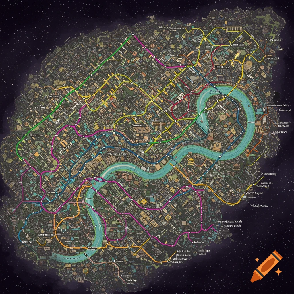
A colorful Ticket to Ride board game map of Spain and Portugal, showing cities like Madrid, Lisbon, and Barcelona connected by colored train routes over land and sea, with text labels for oceans and neighboring countries.

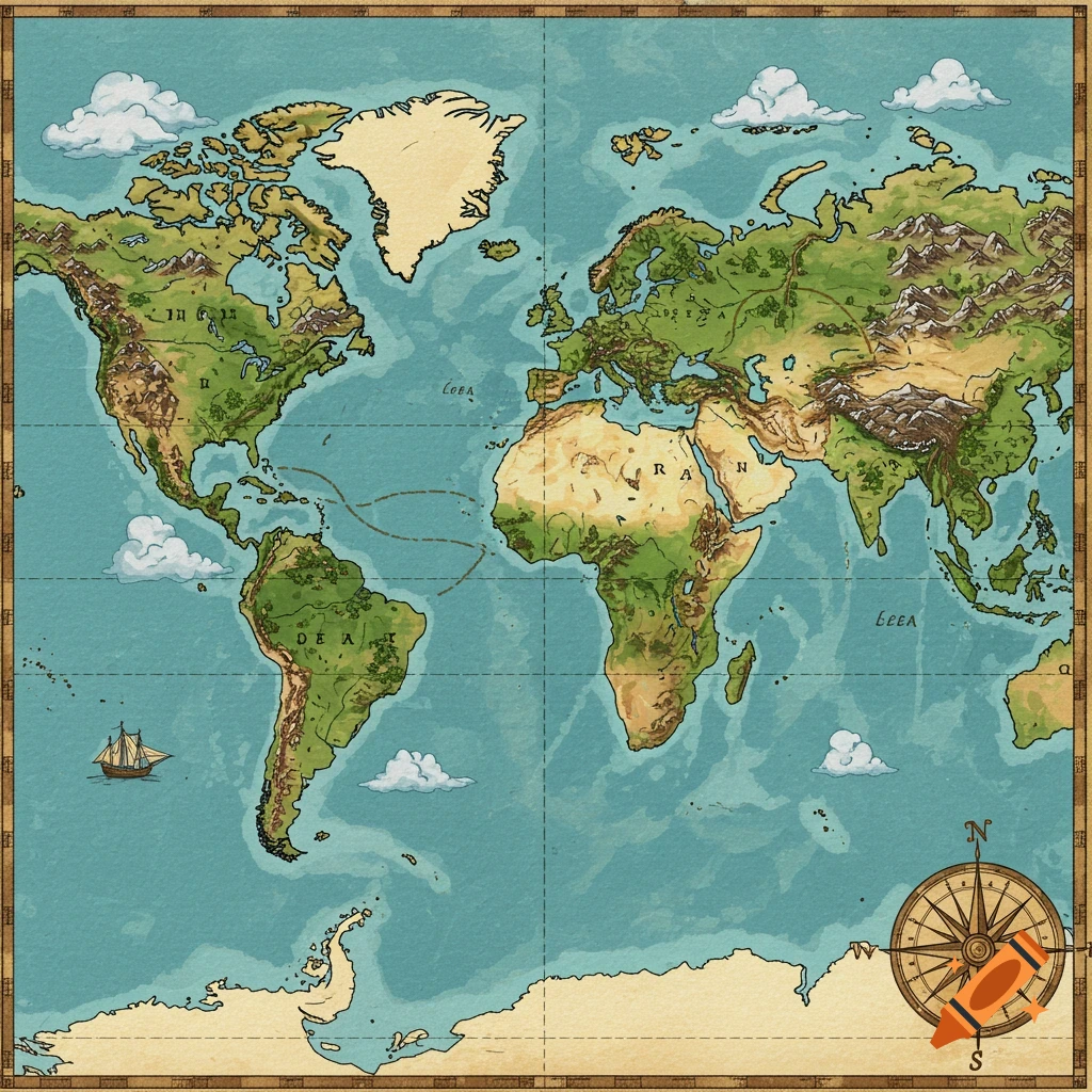
Create a map for the board game of Ticket to Ride for Spain and Portugal. Include the cities below and destinations for the neighbouring countries: France (three destinations), Italy (two), Tunesia (one), Algeria (two) and Morocco. Below is a clean coordinate layout you can sketch immediately on paper or in a design tool. Use a simple grid: - Width: 0–100 (west → east) - Height: 0–60 (south → north) - Origin (0,0) = southwest corner (Atlantic, below Portugal) You do not need geographic accuracy — this is optimized for gameplay spacing and route clarity. ### City Coordinates #### Spain & Portugal - A Coruña — (12, 52) - Porto — (18, 45) - Coimbra — (20, 39) - Lisbon — (15, 32) - Faro — (18, 22) - Valladolid — (32, 45) - Bilbao — (40, 52) - San Sebastián — (46, 52) - Zaragoza — (55, 46) - Andorra — (62, 49) - Barcelona — (68, 45) - Valencia — (65, 33) - Murcia — (62, 26) - Madrid — (48, 36) - Seville — (40, 24) - Granada — (52, 22) - Málaga — (55, 18) - Gibraltar — (48, 14) - Palma de Mallorca — (78, 30) #### External Destinations - France West — (50, 60) - France Central — (65, 60) - France East — (80, 60) - Italy North — (95, 50) - Italy South — (95, 38) - Morocco — (45, 5) - Algeria West — (70, 5) - Algeria East — (85, 5) - Tunisia — (95, 15) ### Structural Layout Logic - Madrid is central (slightly north of center). - Portugal forms a vertical western spine. - Northern arc runs A Coruña → Bilbao → San Sebastián → Zaragoza. - Mediterranean coast forms Barcelona → Valencia → Mehr sehen
More images like this