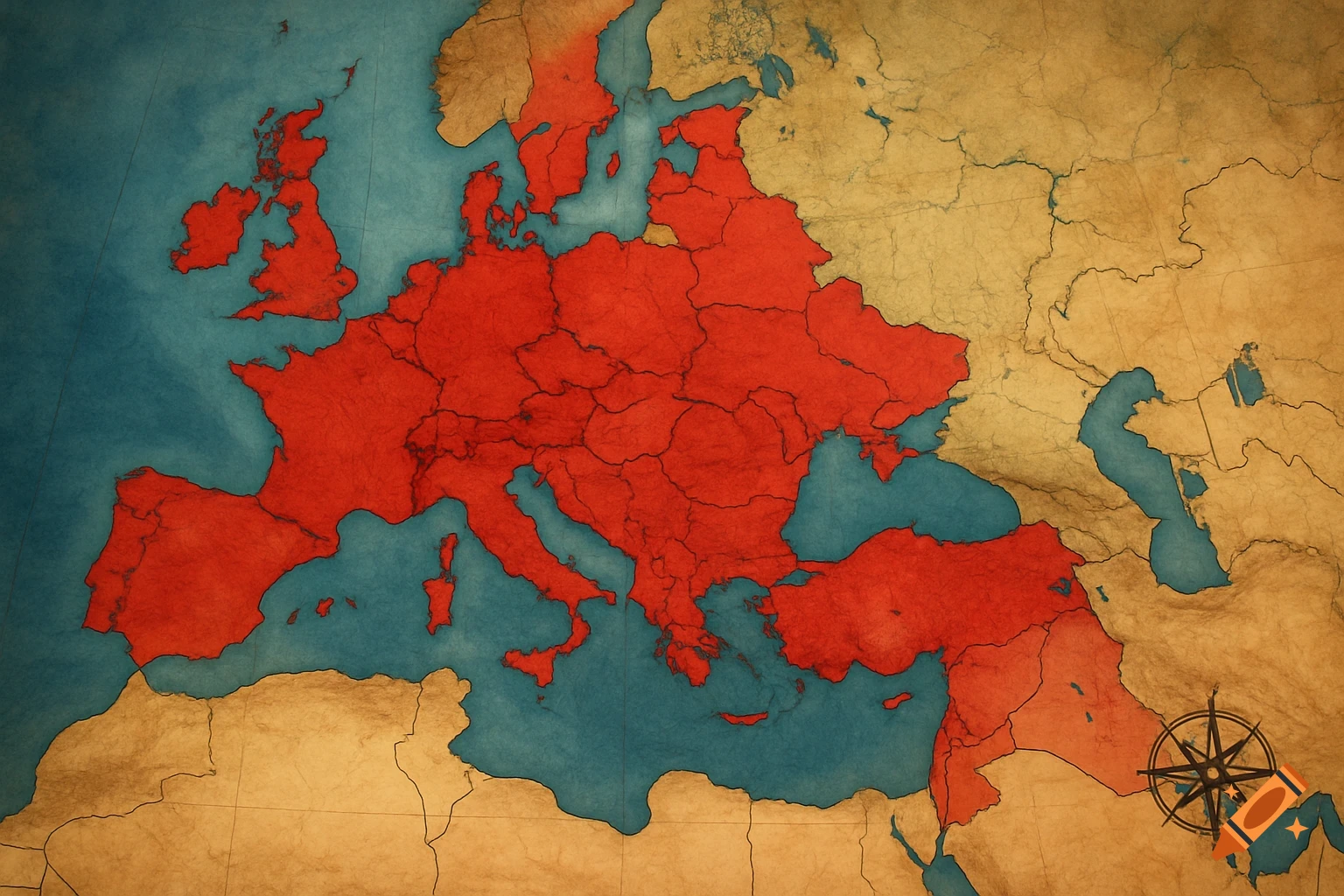
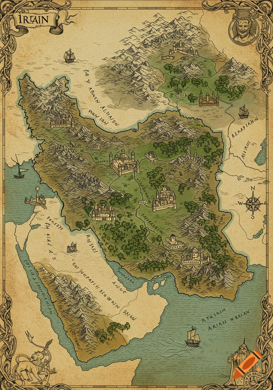
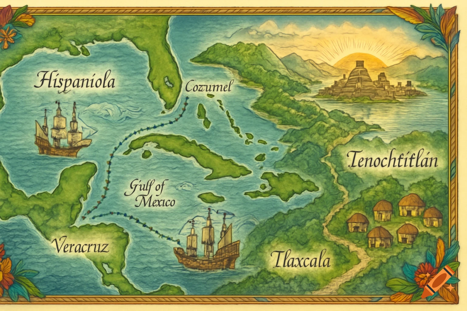
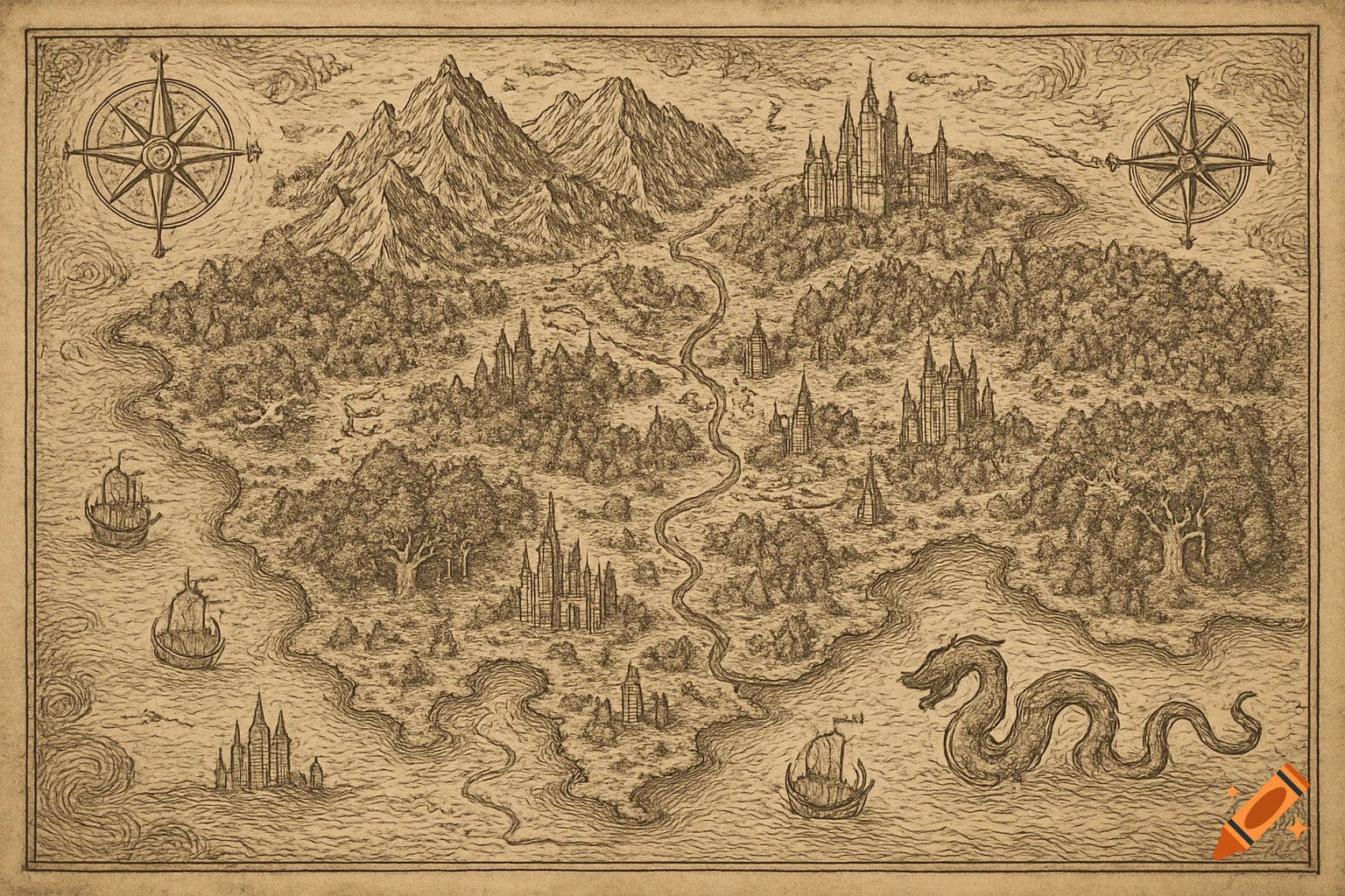
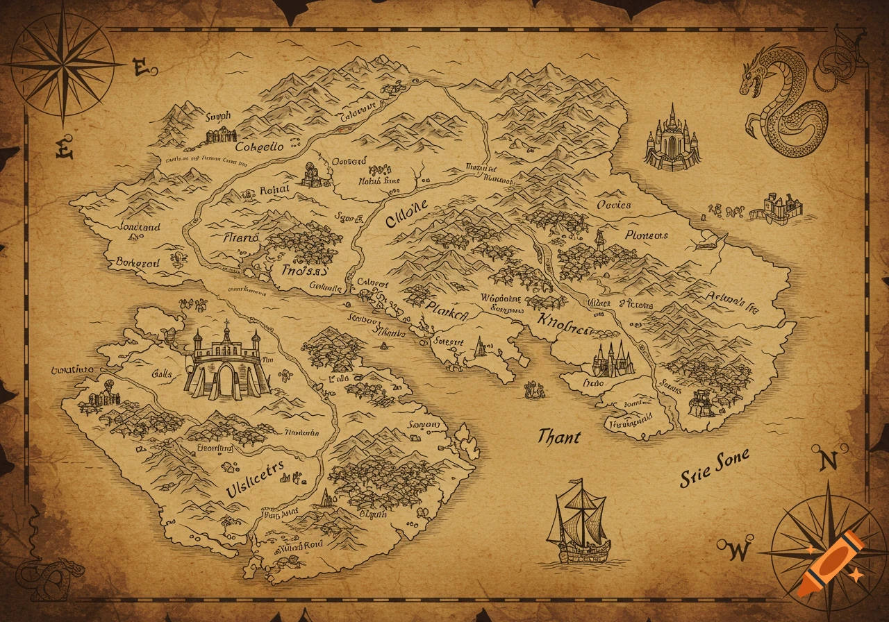
An antique-style map showing the Ottoman Empire at its height, including surrounding seas, regions like Anatolia, Syria, Arabia, and a detailed compass rose and galleon.
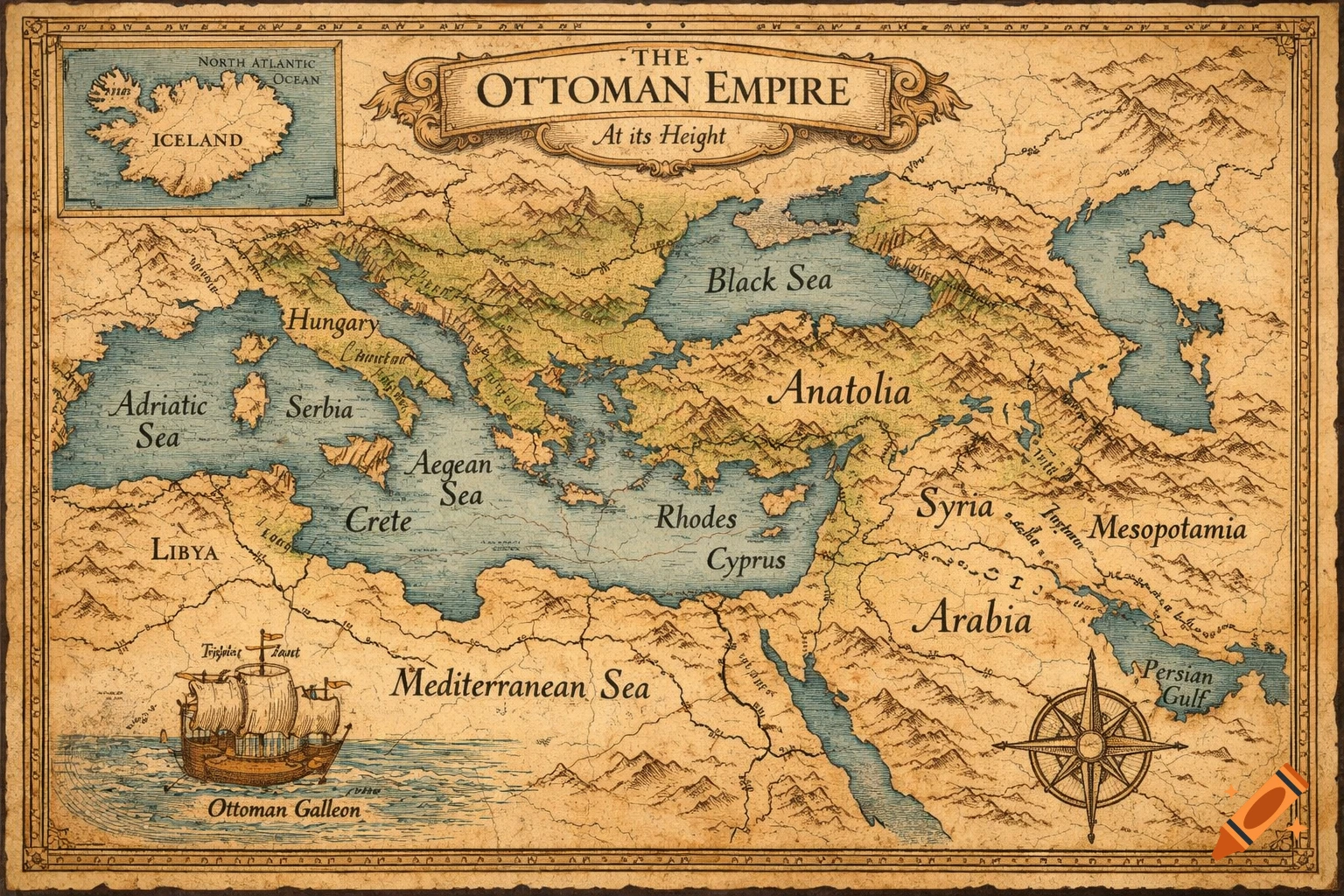
Create a clear, hand-drawn style map of the Ottoman Empire at its peak, including all territories such as the Balkans, Anatolia, the Middle East, North African coast, and islands like Crete, Cyprus, Rhodes, and the Aegean islands. Also include the country of Iceland. Use bold, easily visible borders for all countries and islands to make the map easy to draw. Include labeled seas and major land features. Style the map with an antique parchment look, classic atlas aesthetics, and simple, clean linework suitable for an illustrated or hand-drawn map. Mehr sehen
More images like this