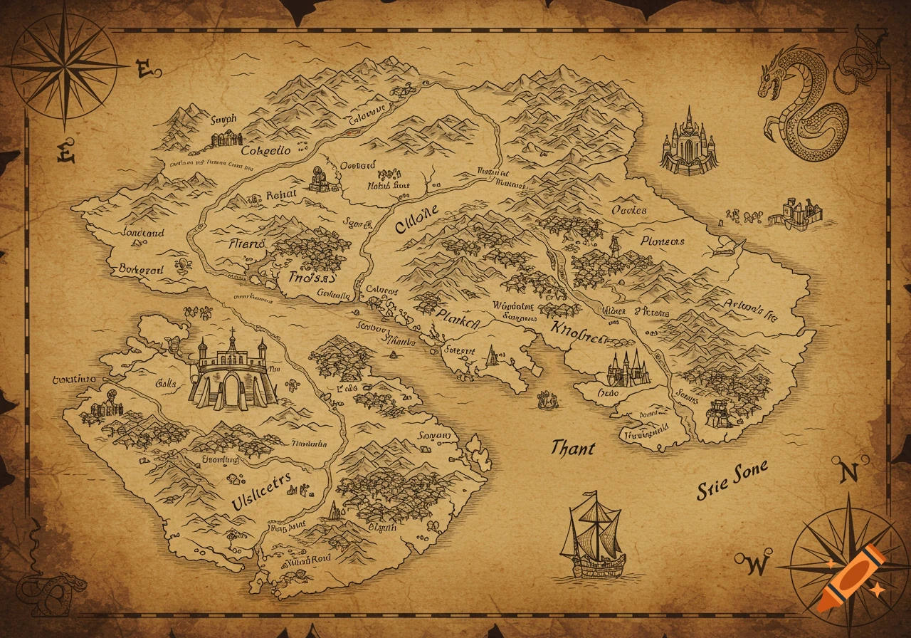
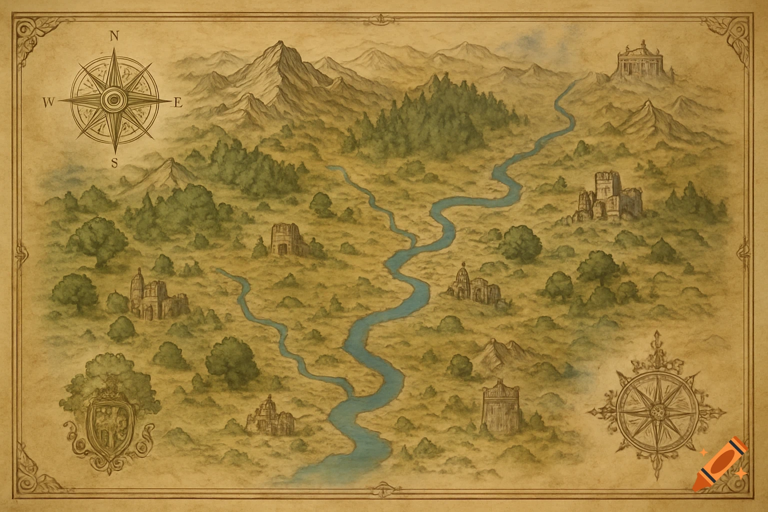
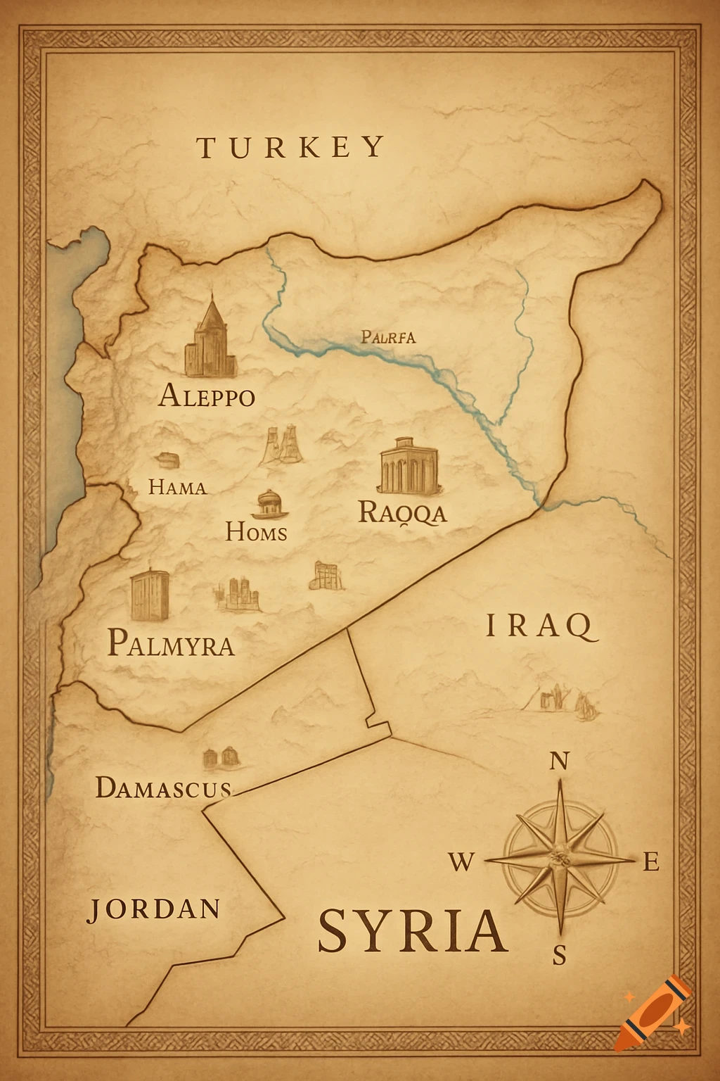
An old parchment-style historical map of Roman-era Ternils, showing cities like Valentia, rivers, roads, and coastal settlements in earth tones.

"Create a historical map of the Ternils area in Roman times. Show Valentia (modern Valencia) as the main city, Ternils as a small villa or alquería, and nearby Roman villas such as La Murta and La Alquería del Pi near Alzira. Include coastal settlements near Cullera and Sueca. Draw the Xúquer River connecting all settlements. Use distinct symbols for cities, villas, and roads, with labels for each location. Style the map like an old parchment map, with soft earth tones, slight texture, and a clear, readable layout. Include subtle historical elements like Roman roads, small temples, and farmland symbols." Mehr sehen
More images like this