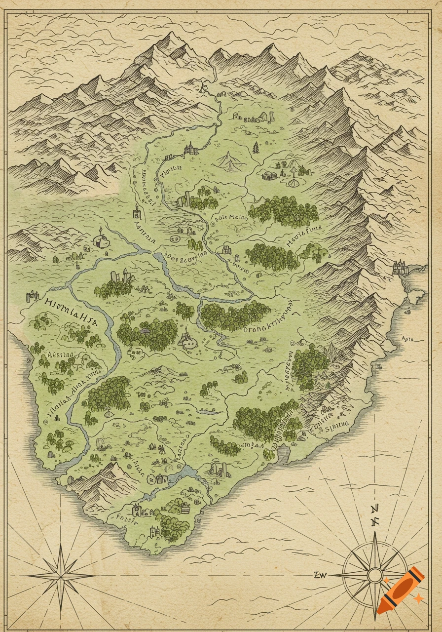
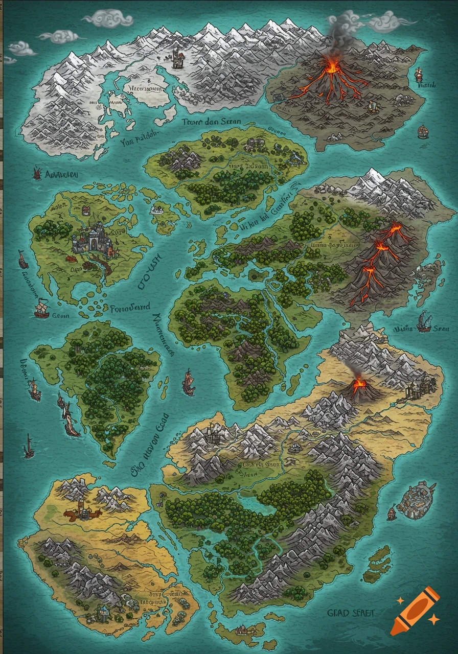
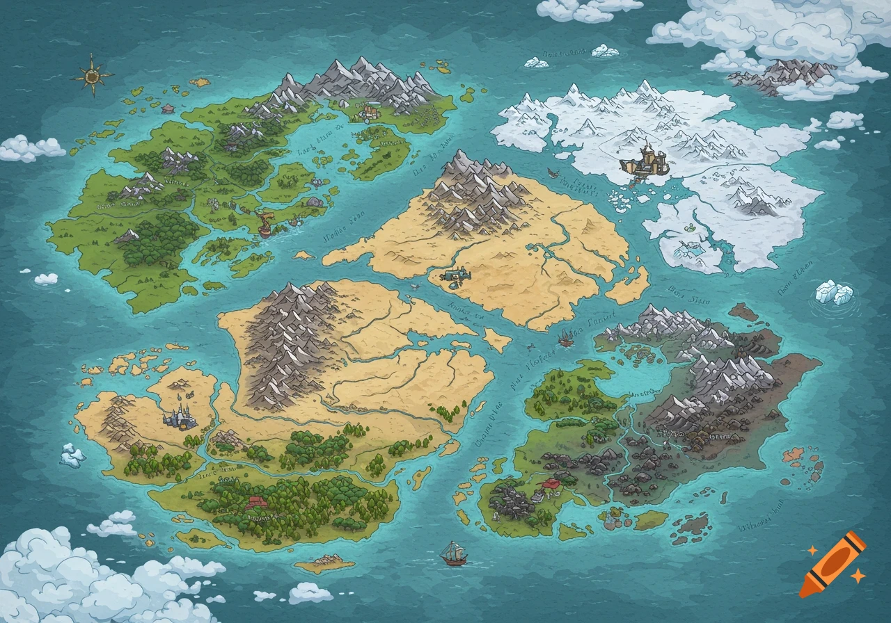
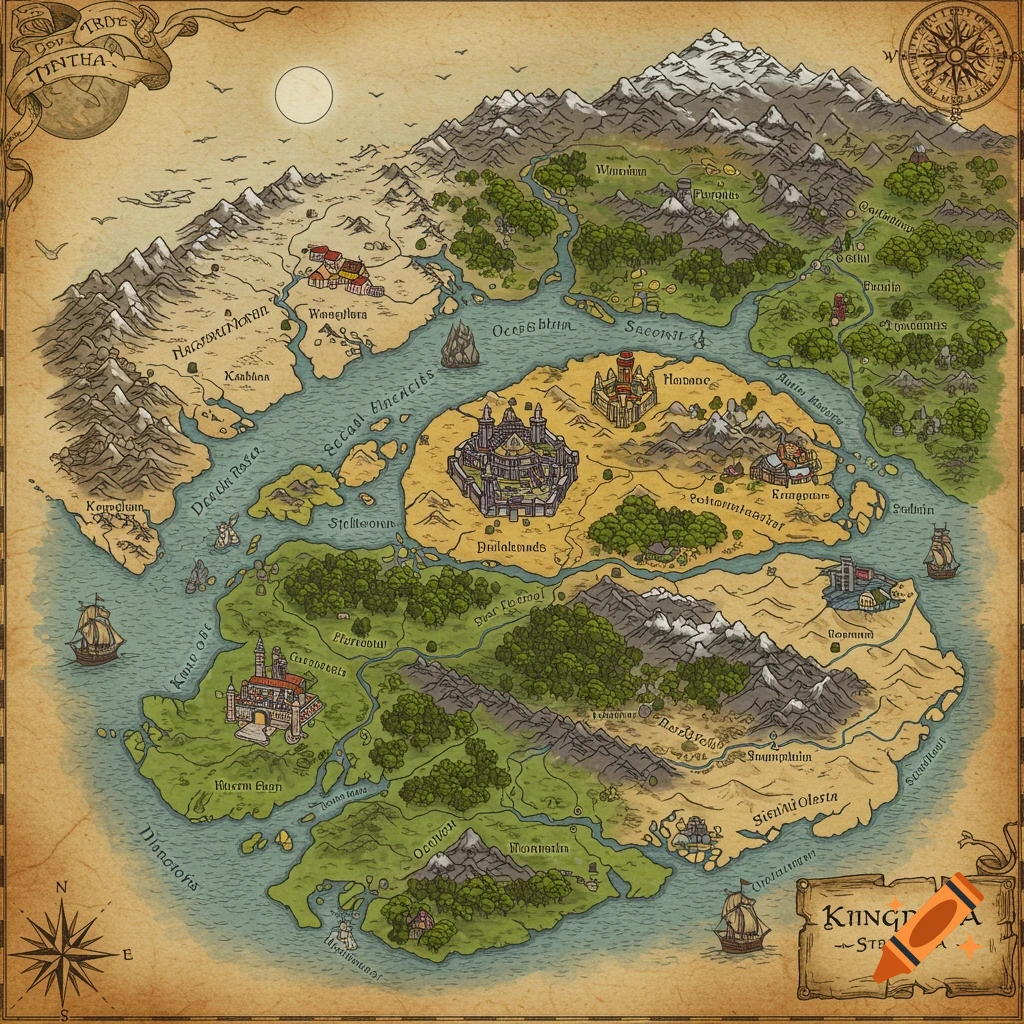
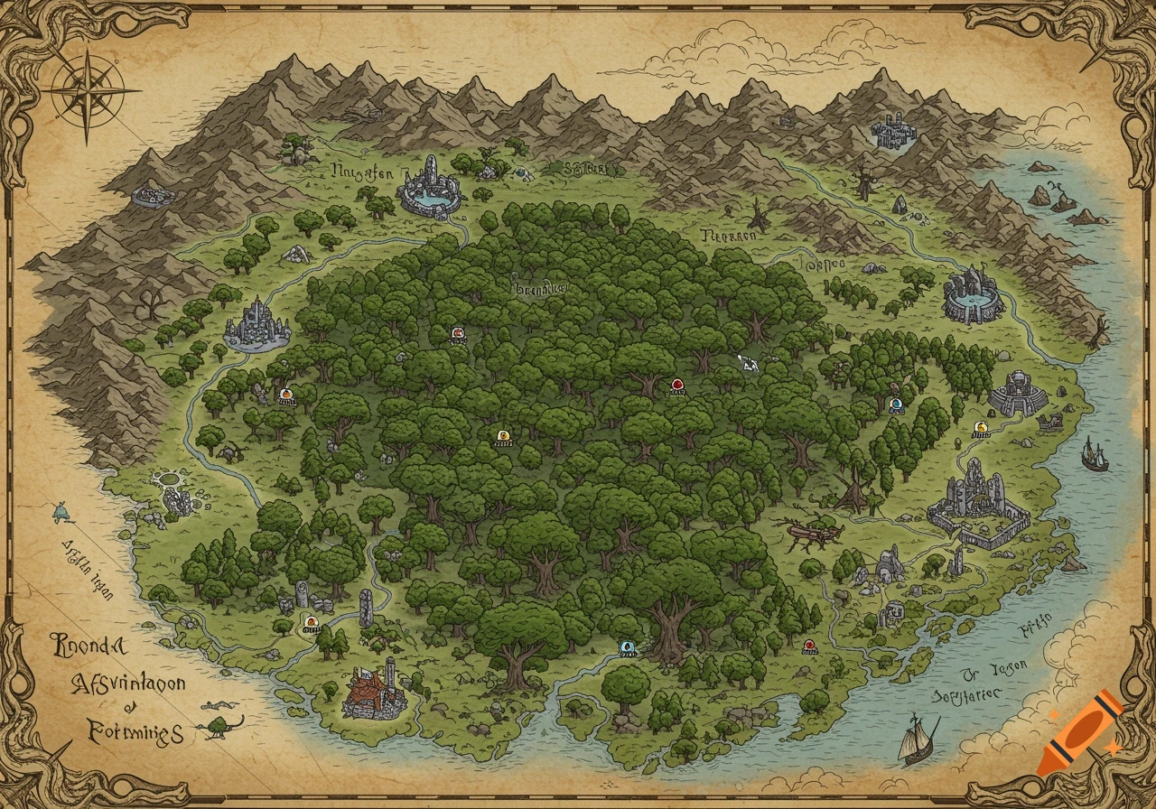
An antique-style fantasy map of a New Zealand-shaped island with named regions like The Northern Wilds and Frozen South, cities, mountains, and oceans.

“Fantasy map inspired by New Zealand geography, top-down illustrated map style. A large main island shaped like New Zealand. The northern region is heavily forested, lush and green, with five main native settlements connected by paths and rivers; one settlement is significantly larger and more fortified, the dominant powerhouse of the north. A narrow central isthmus connects north and south, partially urbanised and colonised by a British-inspired empire, with stone buildings, ports, roads, and fortifications. The empire has overtaken the main central settlement and is visibly expanding northward into native lands. The southern region features wide open plains, rolling grasslands, a large central lake, and a small forested area. One major native settlement near the lake, with several smaller native villages scattered across the plains. The far south transitions into an icy wasteland, with snow, glaciers, frozen terrain, and no major settlements. Surrounding ocean with coastlines, bays, and cliffs. A smaller island off the northwest coast, and several small scattered islands near the southern coastline. Hand-drawn fantasy cartography style, parchment background, clear region borders, labelled settlements, rivers, mountains, forests, and terrain shading.” Mehr sehen
More images like this