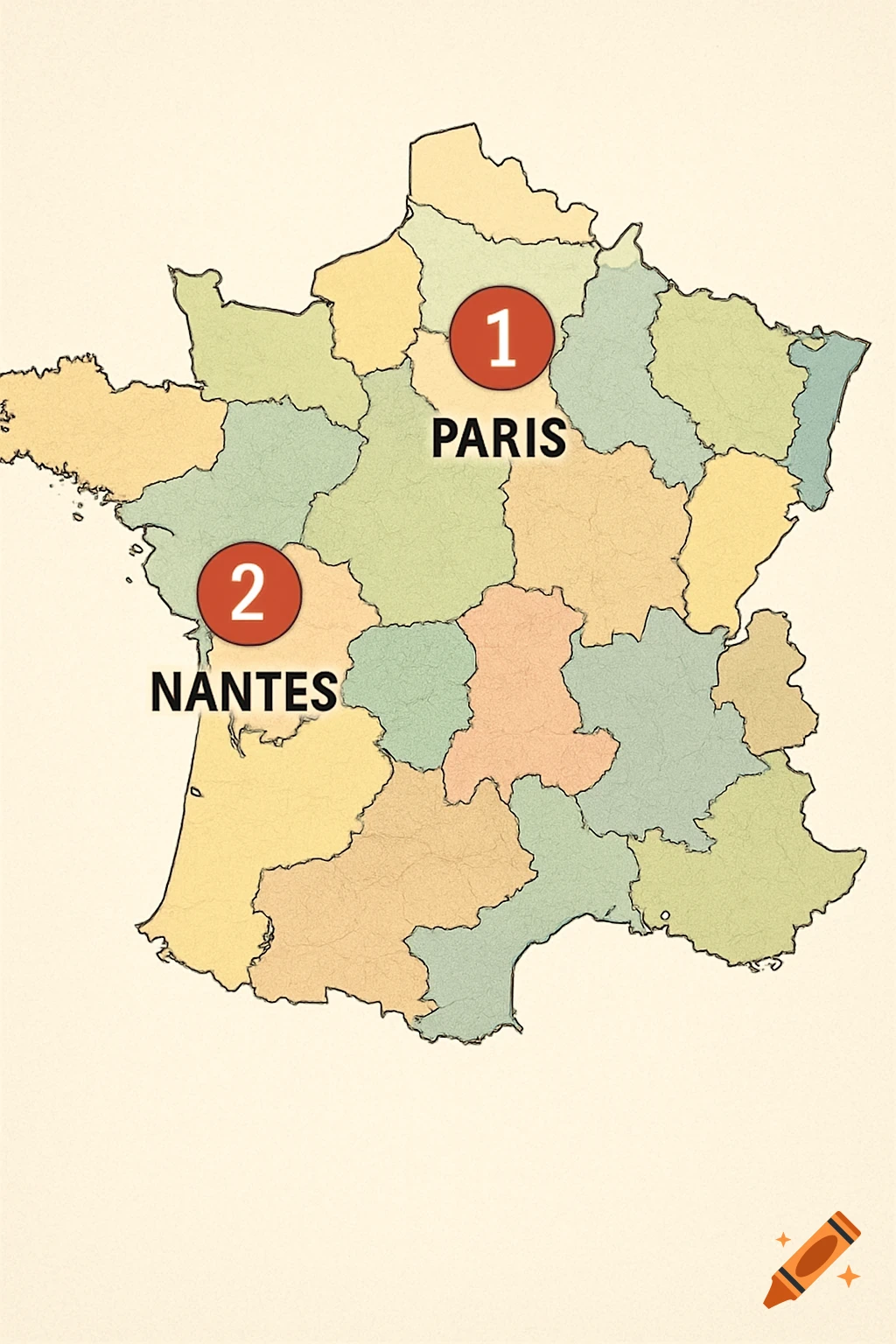
A detailed cartographic map of France in 2050 showing coastal areas submerged by a 2-meter sea level rise. Major cities and a legend are visible.

Highly detailed scientific map of France in the year 2050 after 2 meters of sea level rise due to climate change. Top-down cartographic view. Coastal areas submerged in light blue, new coastlines clearly visible. Significant flooding around Bordeaux, Nantes, La Rochelle, Camargue, parts of Normandy, Hauts-de-France, and the Atlantic coast. Paris slightly affected along the Seine basin. Remaining land in natural terrain colors (green lowlands, brown mountains). Major cities labeled: Paris, Lyon, Marseille, Toulouse, Lille, Bordeaux, Nantes, Strasbourg. Include a clean legend showing “Submerged Areas”, “New Coastline 2050”, and “Remaining Land”. Modern atlas style, high resolution, realistic geography, subtle shading relief, professional cartography, 4K quality. Mehr sehen
More images like this