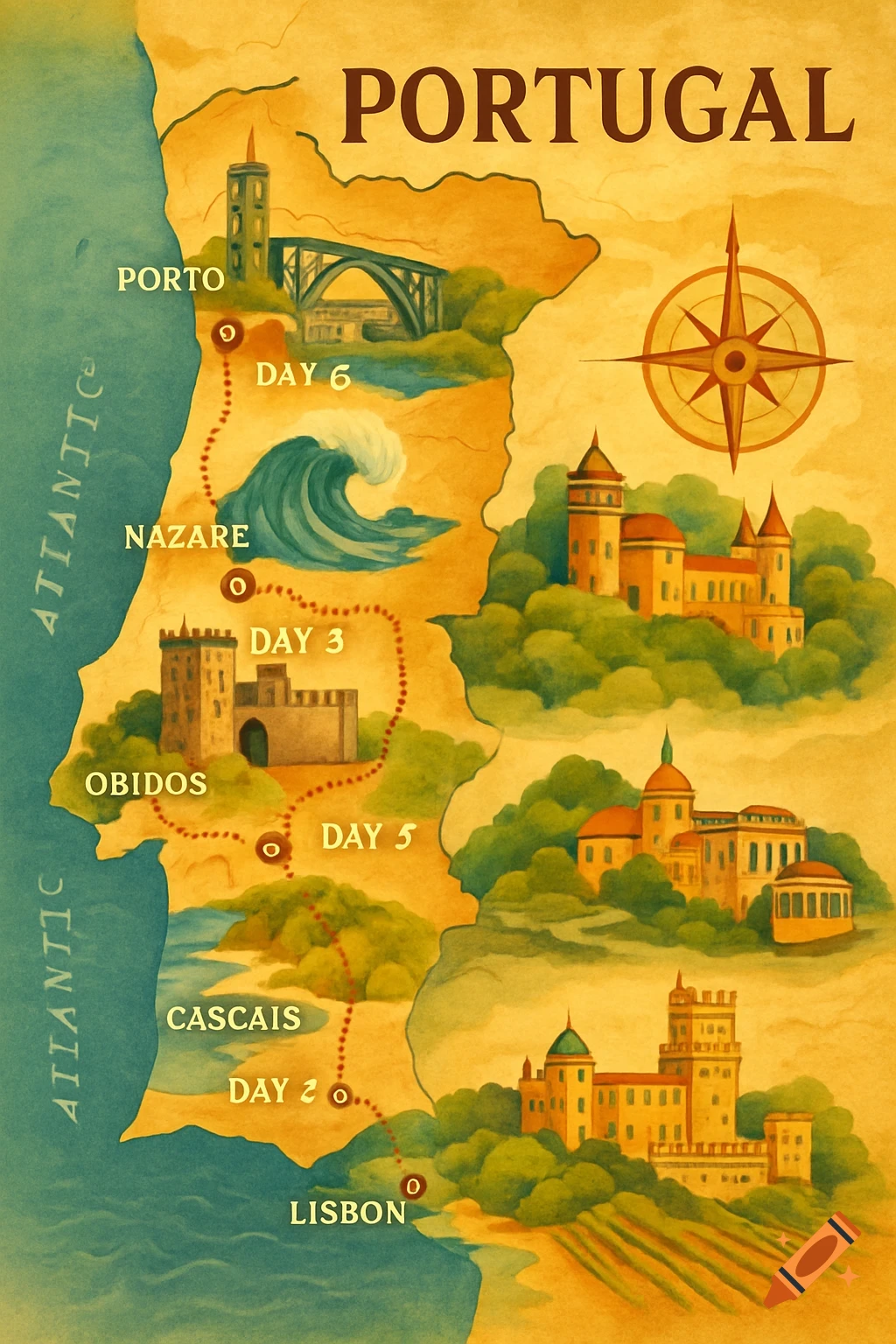
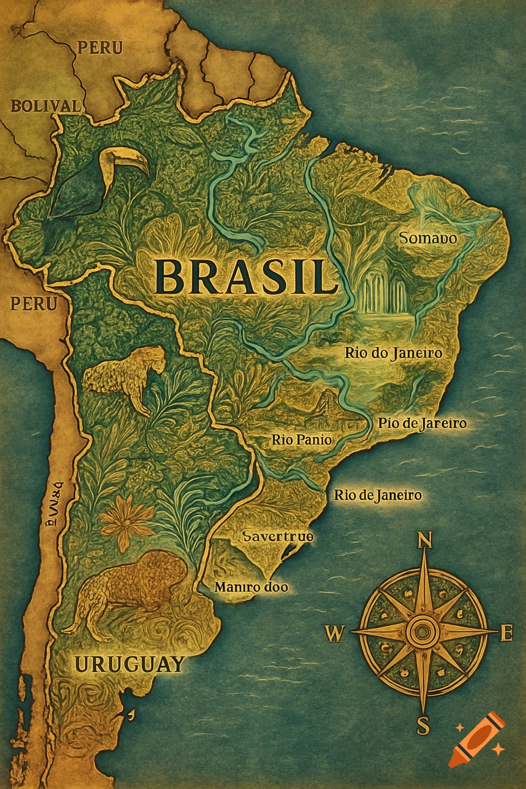
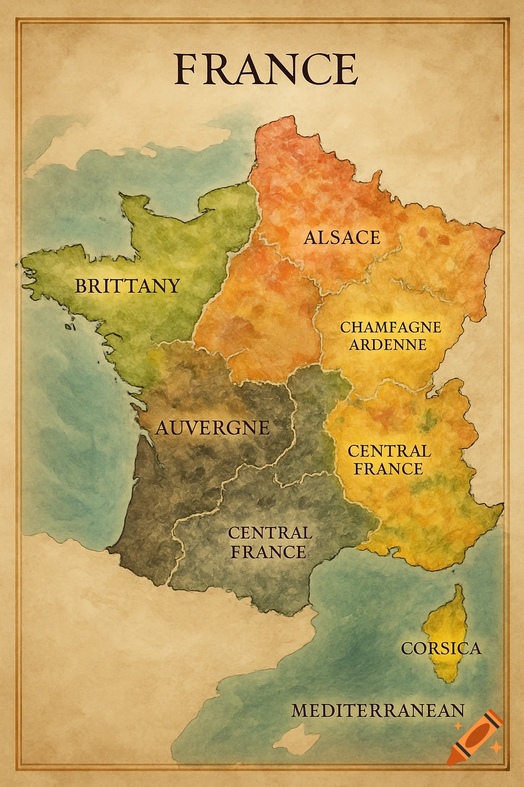
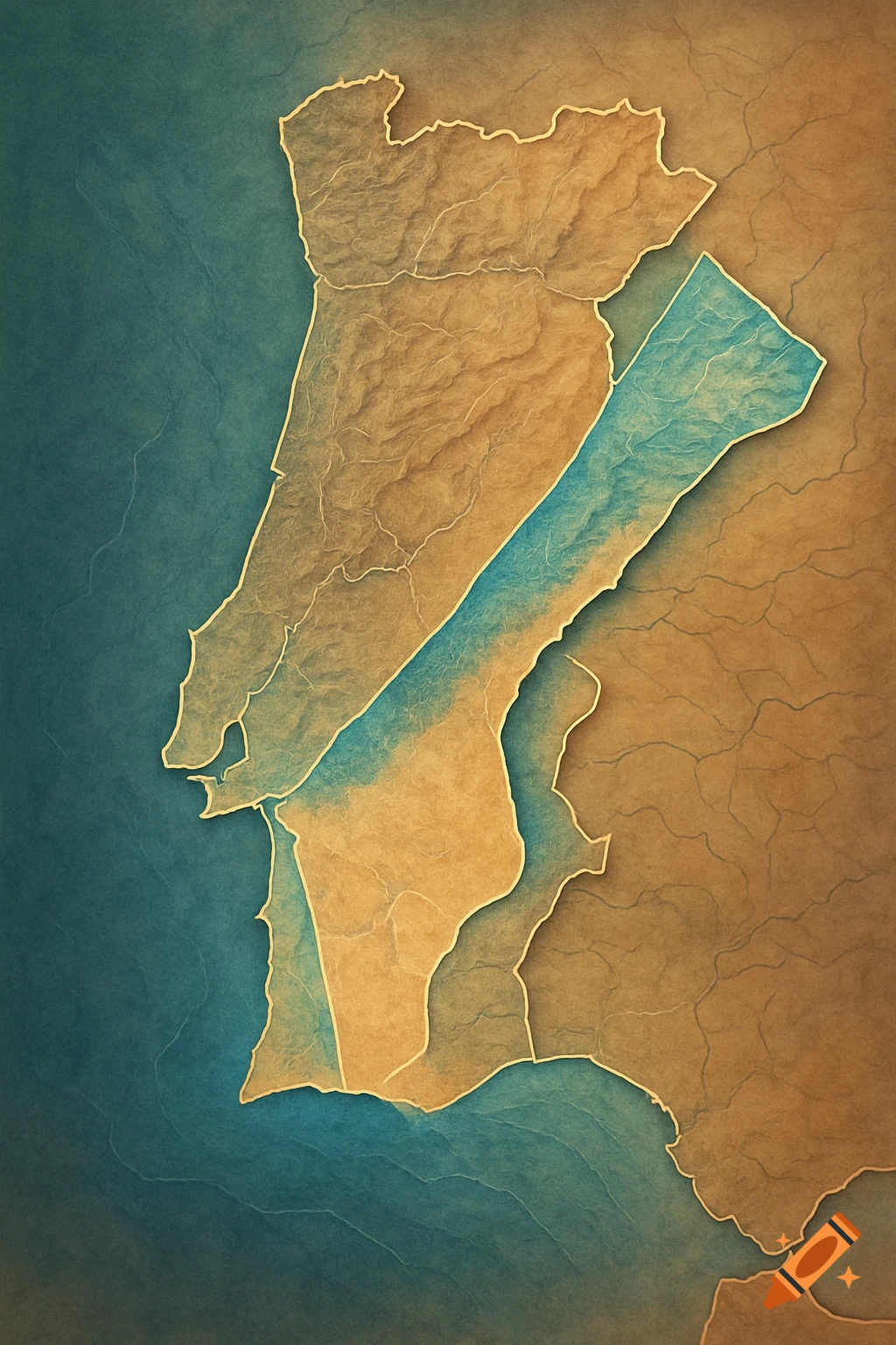
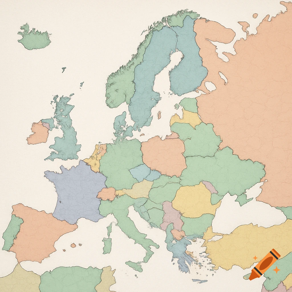
A colorful vector-style thematic map of Portugal, showing regions like North, Center, Lisbon, Alentejo, and Algarve with their respective capital cities and iconic symbols.
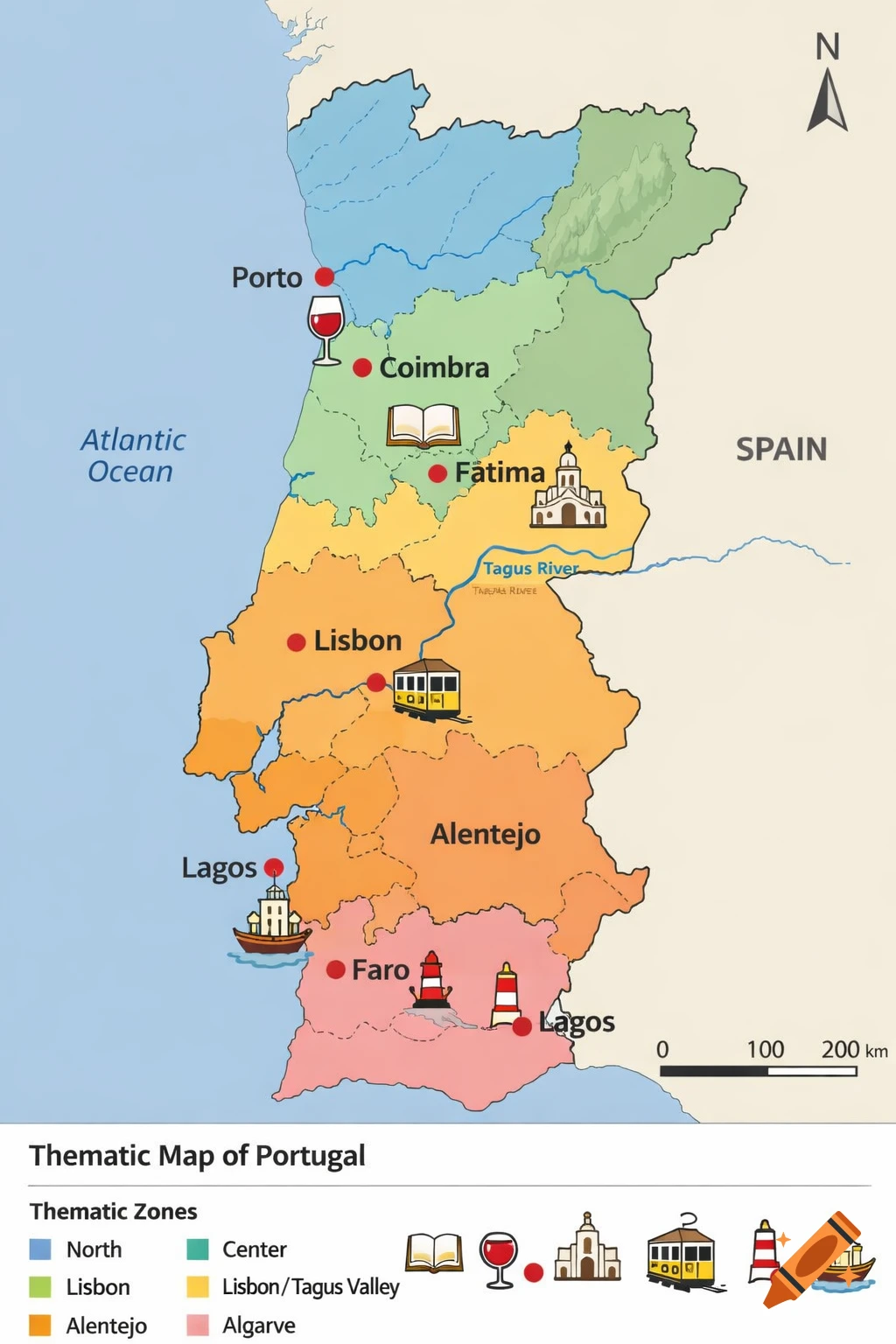
Create a clean, geographically accurate vector-style thematic map of mainland Portugal, in a professional cartographic style for educational use. Include precise national borders, detailed Atlantic coastline, border with Spain, Douro River in the north, Tagus River near Lisbon, and light hints of relief in the northeast. Divide the territory into thematic zones with harmonious pastel colors: light blue for North (Porto), green for Center (Coimbra/Fátima), yellow for Lisbon/Tagus Valley, orange for Alentejo, pink for Algarve (Faro/Lagos). Mark exactly these cities with red dots and small stylized iconic illustrations (small size, 20-30px, simple vector icons, 2-3 colors each, positioned next to the name in clean sans-serif font like Montserrat): - Porto (north, Douro estuary): port wine glass icon with handle and red wine reflections. - Coimbra (south of Porto, inland): open book icon with stylized university tower behind. - Fátima (between Coimbra and Lisbon): basilica icon with front-facing dome and bell tower. - Lisbon (central coast, Tagus bank): iconic yellow tram (28) profile icon with windows. - Faro (far southeast Algarve): white-red lighthouse icon with rocky base. - Lagos (southwest Algarve): caravel (Portuguese ship) icon with sails and waves. Add: "N" arrow in the top right for north; scale bar 0-100-200 km in bottom right; minimal legend in bottom left ("Thematic Zones" with colored squares; "Illustrated Cities" with example icon); title "Thematic Map of Mehr sehen
More images like this