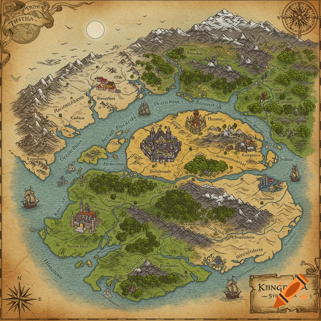
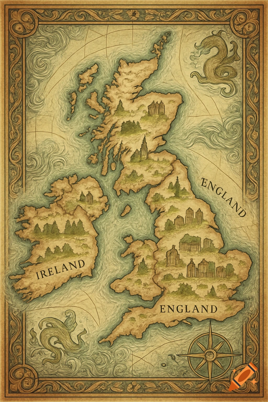
An antique-style historical map of Scandinavia in 769 AD, featuring medieval parchment texture, muted colors, labeled regions, a compass rose, and sea monsters.

A detailed historical map of Scandinavia in the year 769 AD, covering modern Norway, Sweden, Denmark, Finland, and Estonia. The map should be in a medieval parchment style with aged textures and muted natural colors. All regions are clearly divided and labeled according to early medieval tribes and cultural regions, inspired by Crusader Kings-style borders. Include and label regions such as: Norway: Vestlandet, Trøndelag, Nordland, Viken, Agder, Hålogaland Sweden: Svealand, Götaland (West and East Götaland), Bergslagen Islands: Gotland, Öland Denmark: Zealand (Sjælland), Jutland, Funen (Fyn), Skåne, Halland, Blekinge Finland: Finland Proper, Tavastia, Karelia, Satakunta Estonia: Sakala, Ugaunia, Harju, Vironia, Saaremaa Each region should be shaded in a distinct but harmonious color. Show natural features like forests, mountains, and rivers. Include a decorative compass rose, sea monsters, and a scale bar. Use medieval-style calligraphy for labels. Mehr sehen
More images like this