Vintage black and white map of North Georgia showing counties, towns, roads, rivers, Lake Lanier, and Mount Yonah, with a compass rose.
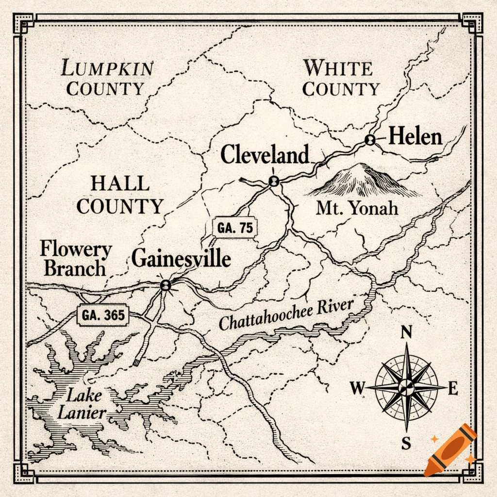
Square vintage black-and-white map of North Georgia showing the region from Flowery Branch, Georgia to Helen, Georgia. The map should include county boundaries and labels for Hall County, White County, and Lumpkin County. Include the towns Flowery Branch, Gainesville, Cleveland, and Helen. Clearly mark Mount Yonah between Cleveland and Helen with a small illustrated mountain icon and label. Show major roads such as GA-365 and GA-75 as thin vintage cartographic lines. Include the Chattahoochee River and nearby streams with light linework. Style should resemble an early 1900s printed atlas: engraved linework, subtle paper texture, serif lettering, and decorative cartography elements like a small compass rose and simple border frame. Black ink on aged parchment background, high contrast, minimalist but authentic vintage map design. Square aspect ratio. Mehr sehen
More images like this