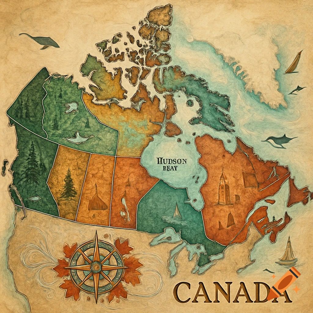
Illustrative map of indigenous territories in British Columbia, featuring totem poles, mountains, an orca, and a bear, with territory names.

Maps have historically been used as tools of colonization that reinforce Eurocentric worldviews, territorial claims, and narratives that marginalize Indigenous cultures and perspectives. These maps often omit or misrepresent First Peoples’ territories, place names, and important cultural landmarks. To decolonize maps and the way they shape our perceptions we need to challenge and revise maps to address inherent biases, inaccuracies, omissions and colonial perspectives. For this assignment, you will work in groups to collaborate on an anti or decolonial mapping project of BC. Working co-operatively and effectively in group settings is a key skill that transfers into work and social environments. Educational studies have shown that working in groups is beneficial for learning and building these important skills, along with communication, problem-solving, and managing responsibilities to a collective. Map/Mark traditional territories in region assigned differentiates between First Nations' territories using colour, cross-hatching, dots, etc. Naming territories Names territories with the ancestral names given by Indigenous Peoples of the region Neatness and creativity Map demonstrates a de/anti-colonial approach to mapping in style and creativity Reference List provides a reference list for authenticating names and spellings, must be correctly formatted in APA, MLA Ethnographic Table Reference List Evidence of research and privileging Indigenous knowledges to create ethnographic Mehr sehen
More images like this