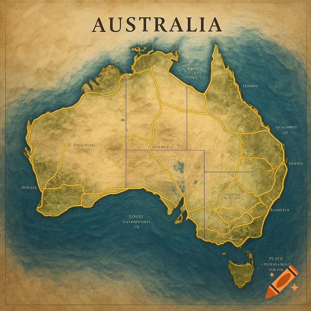
Illustrated map of Queensland, Australia, showing locations of Corella, Burke, and Mt Dromedary Graphite Projects with details like area size and roads.
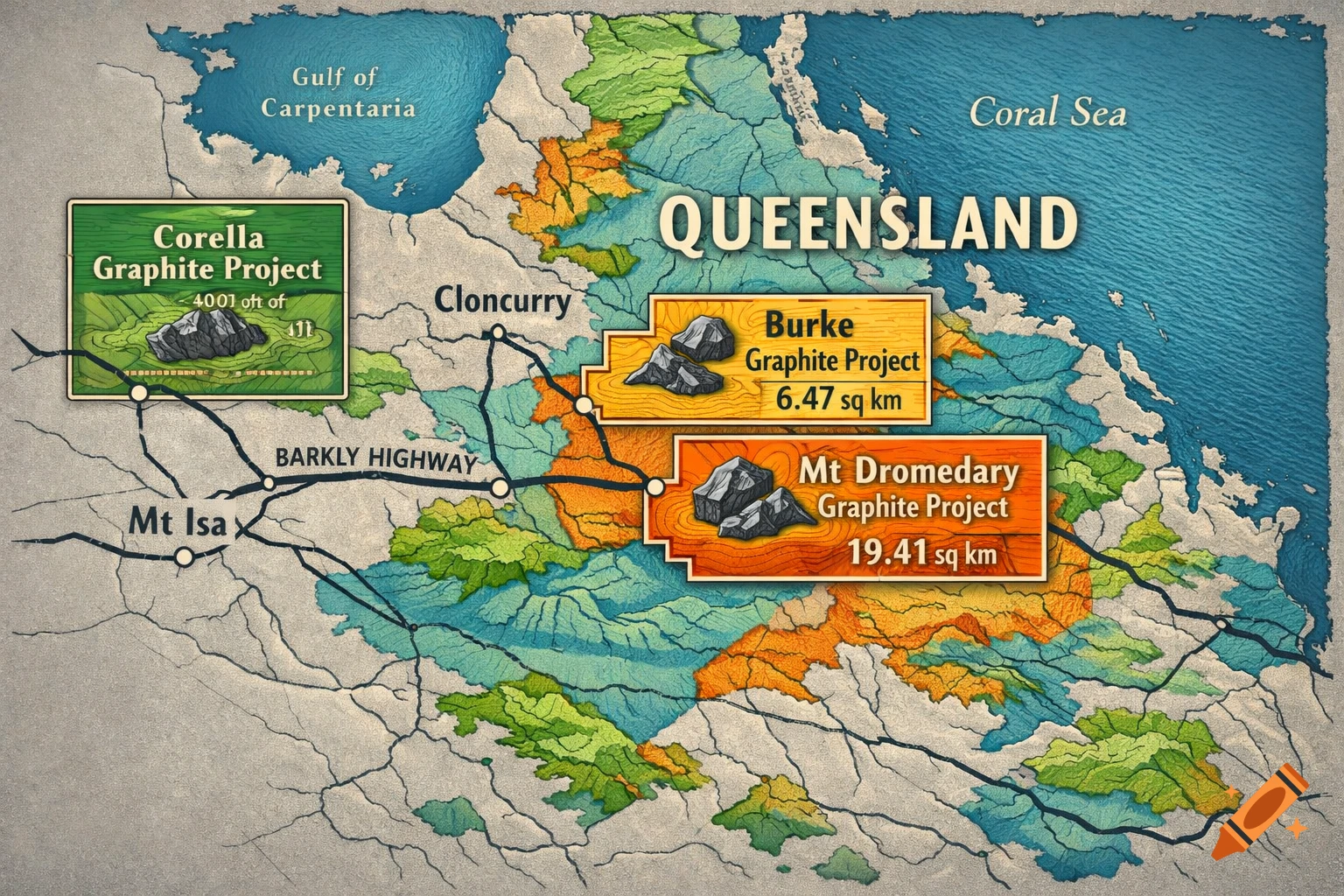
I wnat to generate a sanapshot of Queensland map (Snapshot) which shows the Burke/Mt Dromedary Deposit ( check km references are consistent with current disclosures as described below: (must use these few key colours: C55, m17, y18, K0 C54, m27, y40, K1; C30, M11, Y100, K0 C07, M07, Y07, K07 (as background colour) black (1) the Burke Graphite Project, (of ~6.47km2), located ~130km by road north of Cloncurry, adjacent to the Burke Development Road; (2) the Mt Dromedary Graphite Project (of 19.41km2), which are contiguous to the Burke Tenement ; and (3) the Corella Graphite Project (of ~19.41km2), located ~40km by road west of Cloncurry and ~170km by road south of the Burke/Mt Dromedary Tenements, adjacent to the Barkly Highway that links Mount Isa to Cloncurry. Mehr sehen
More images like this