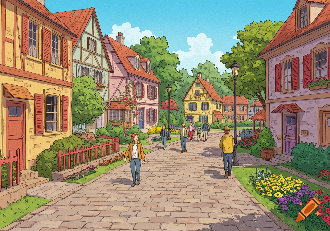
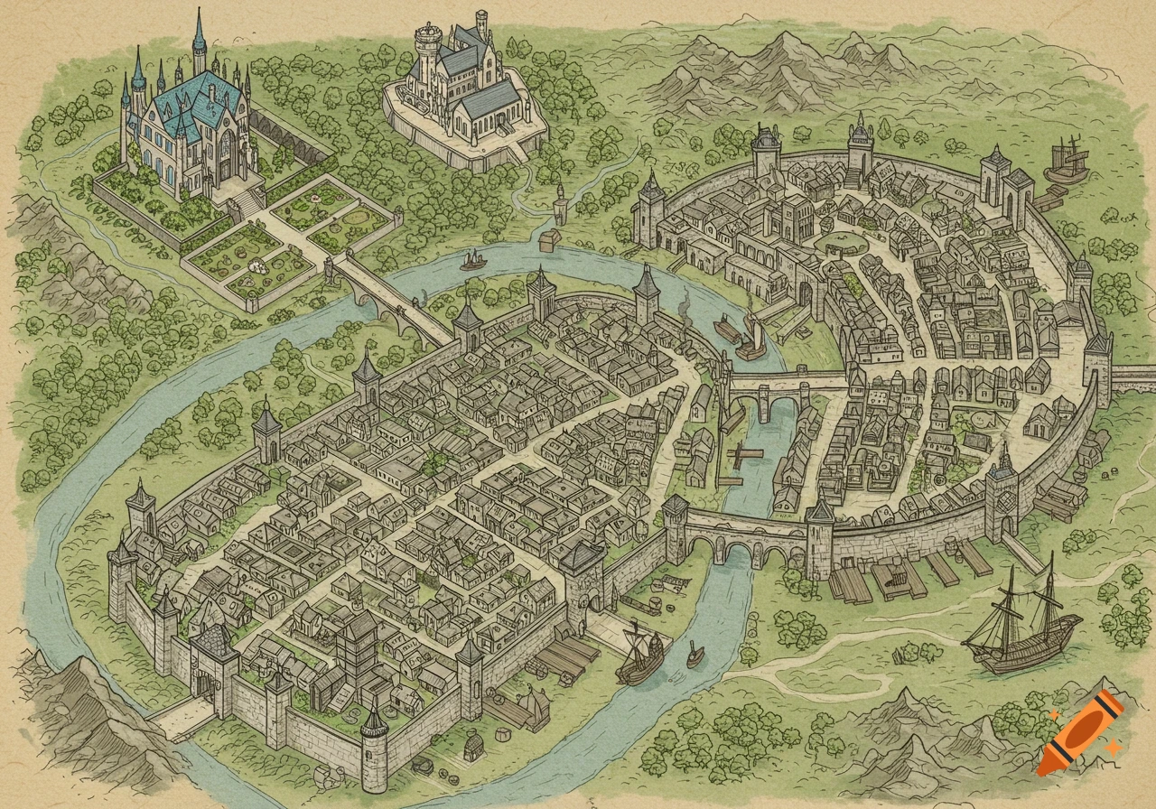
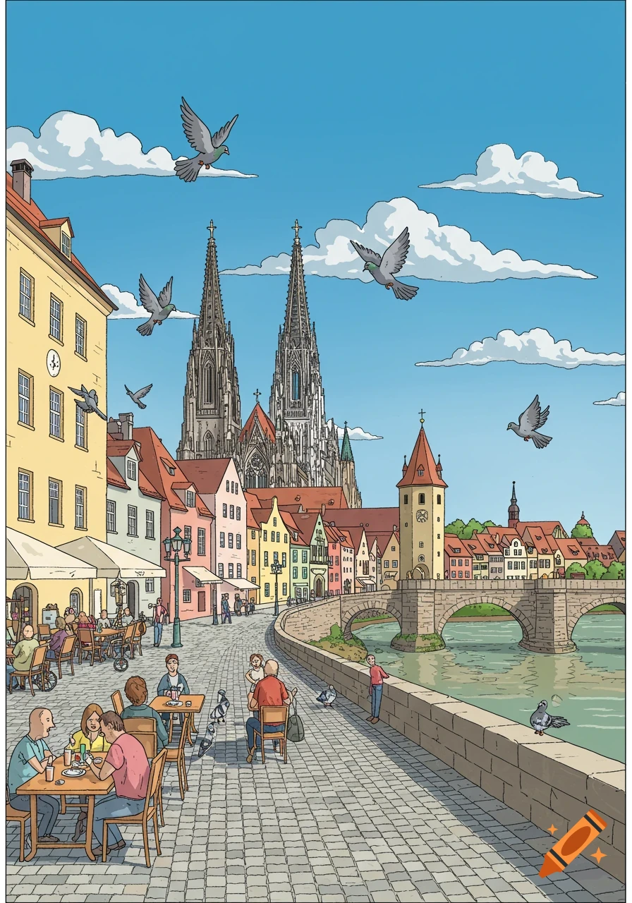
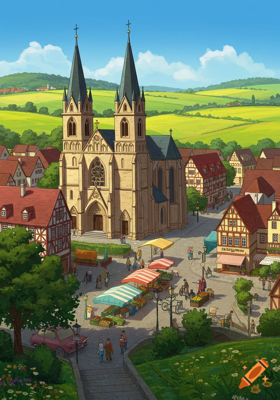
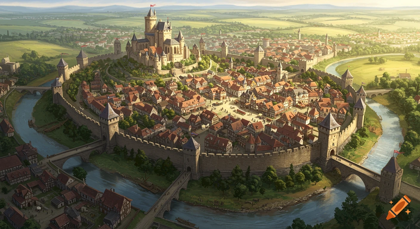
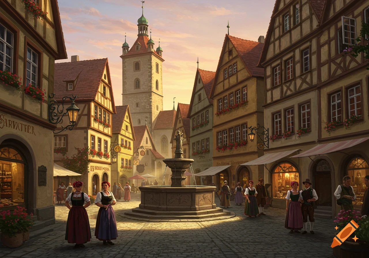
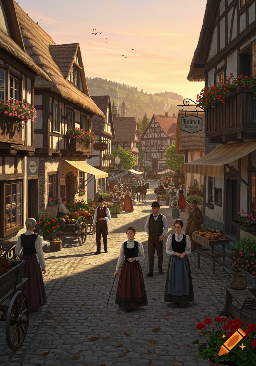
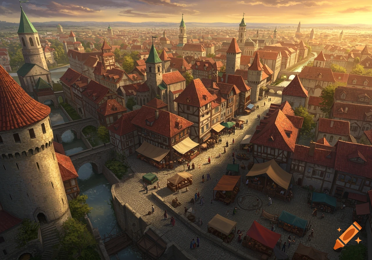
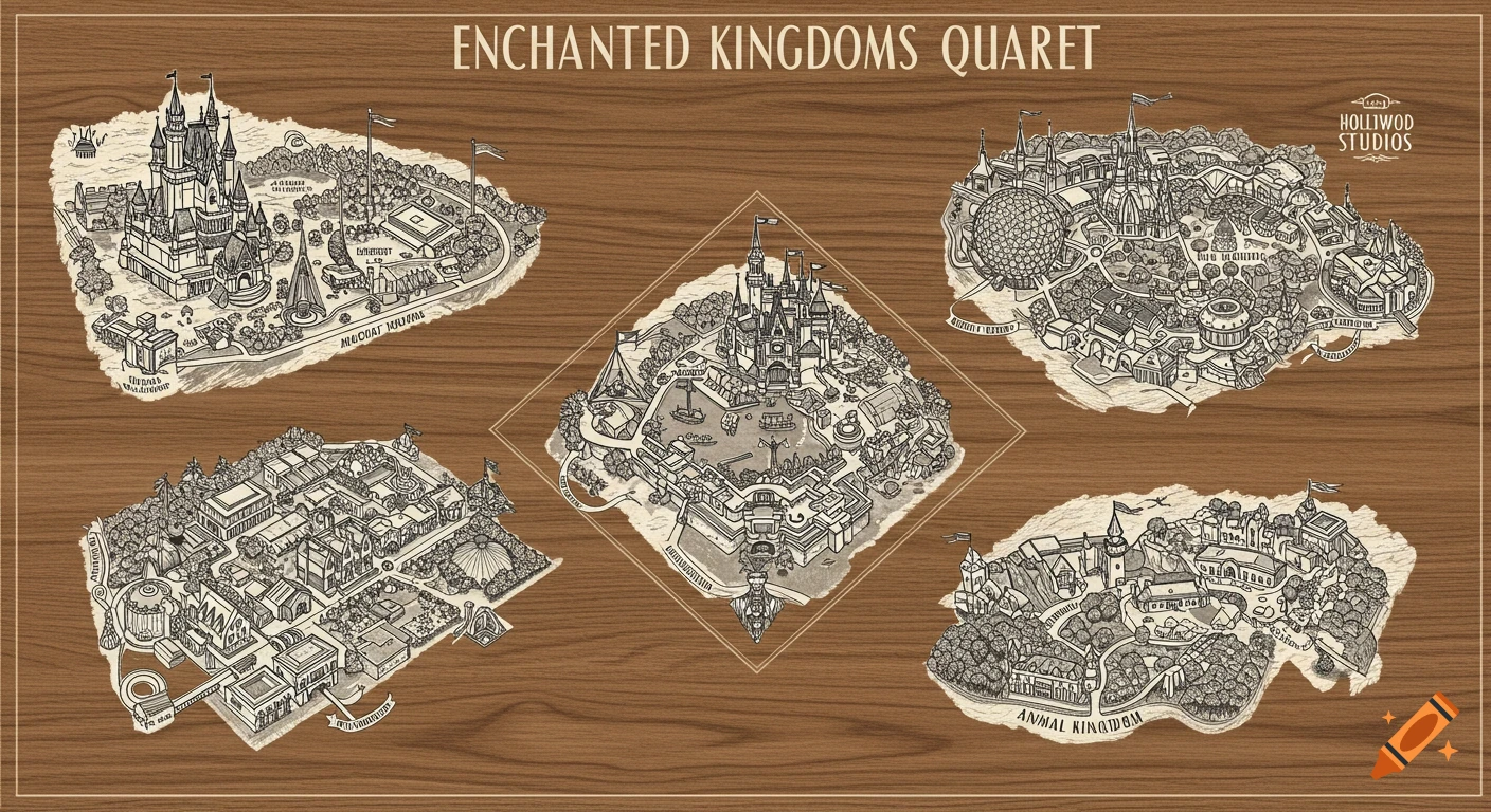
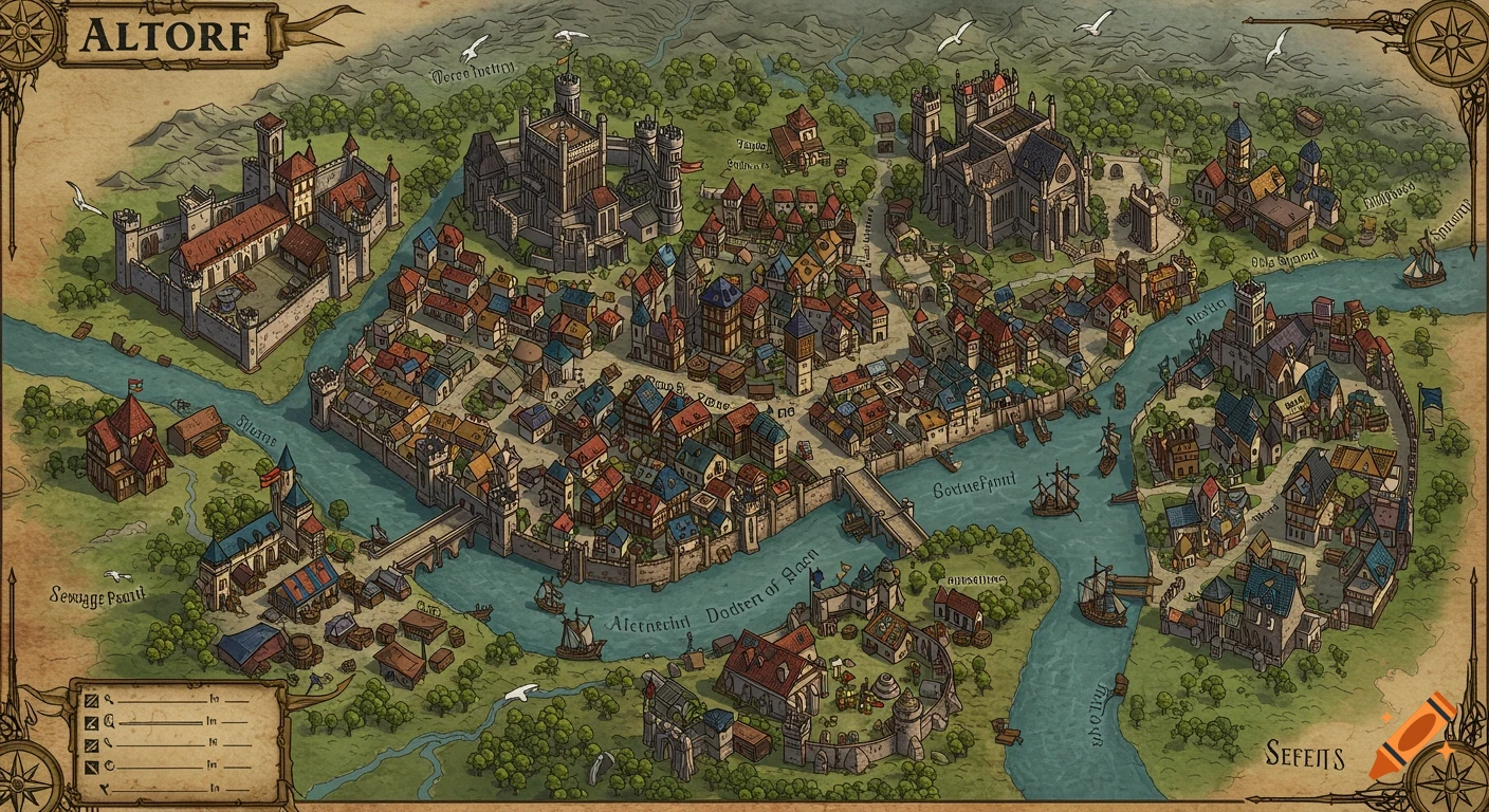
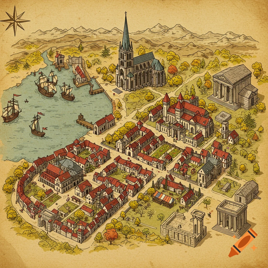
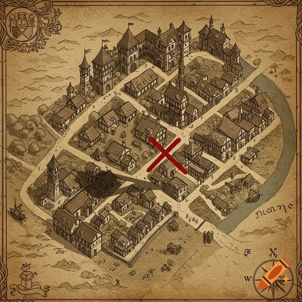
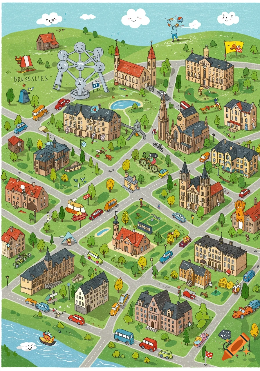
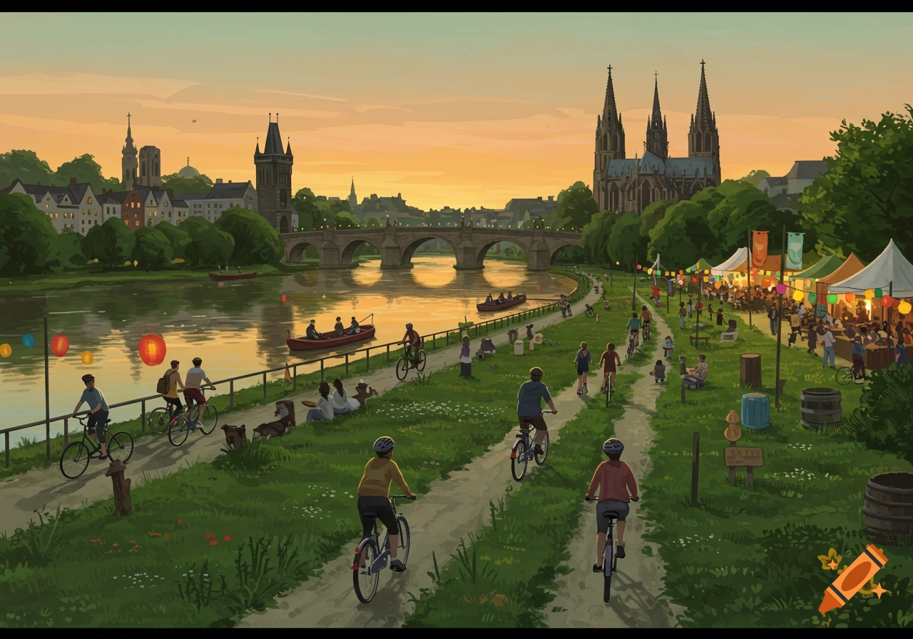
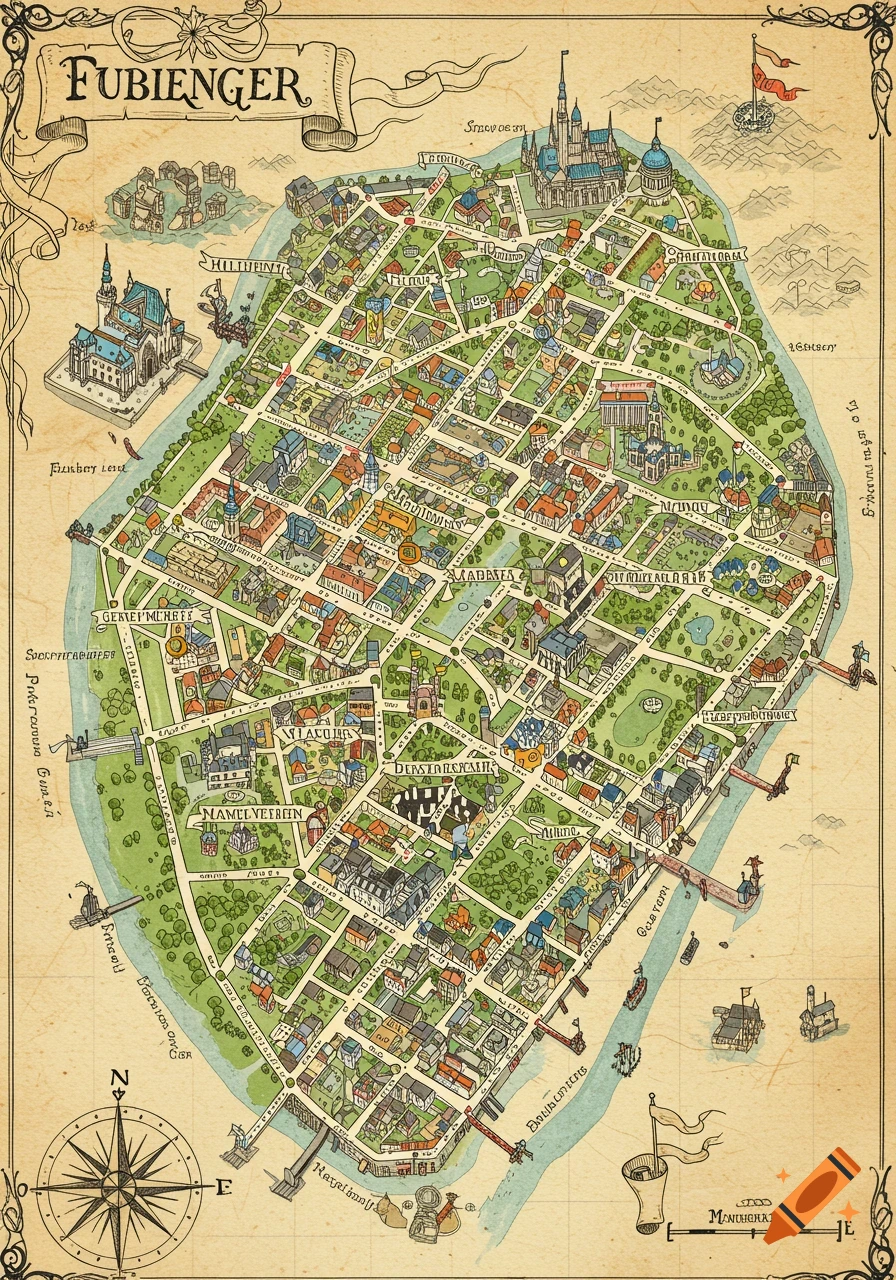
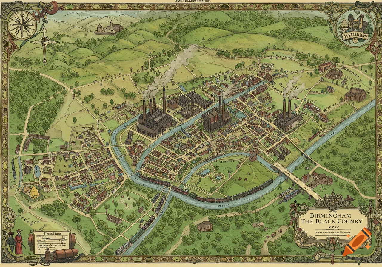
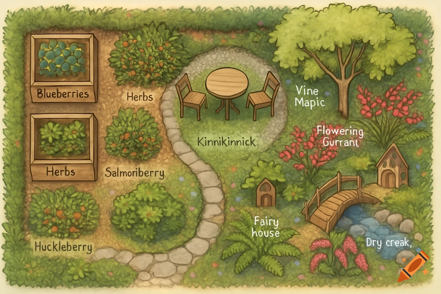
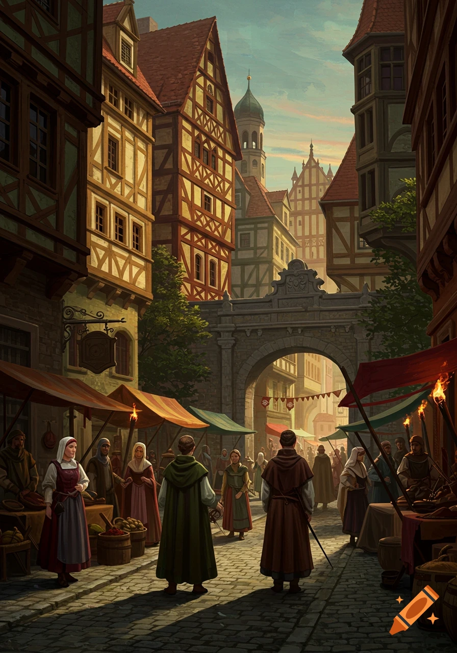
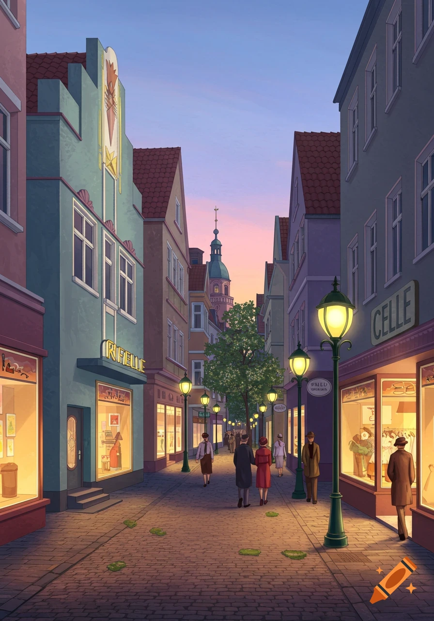
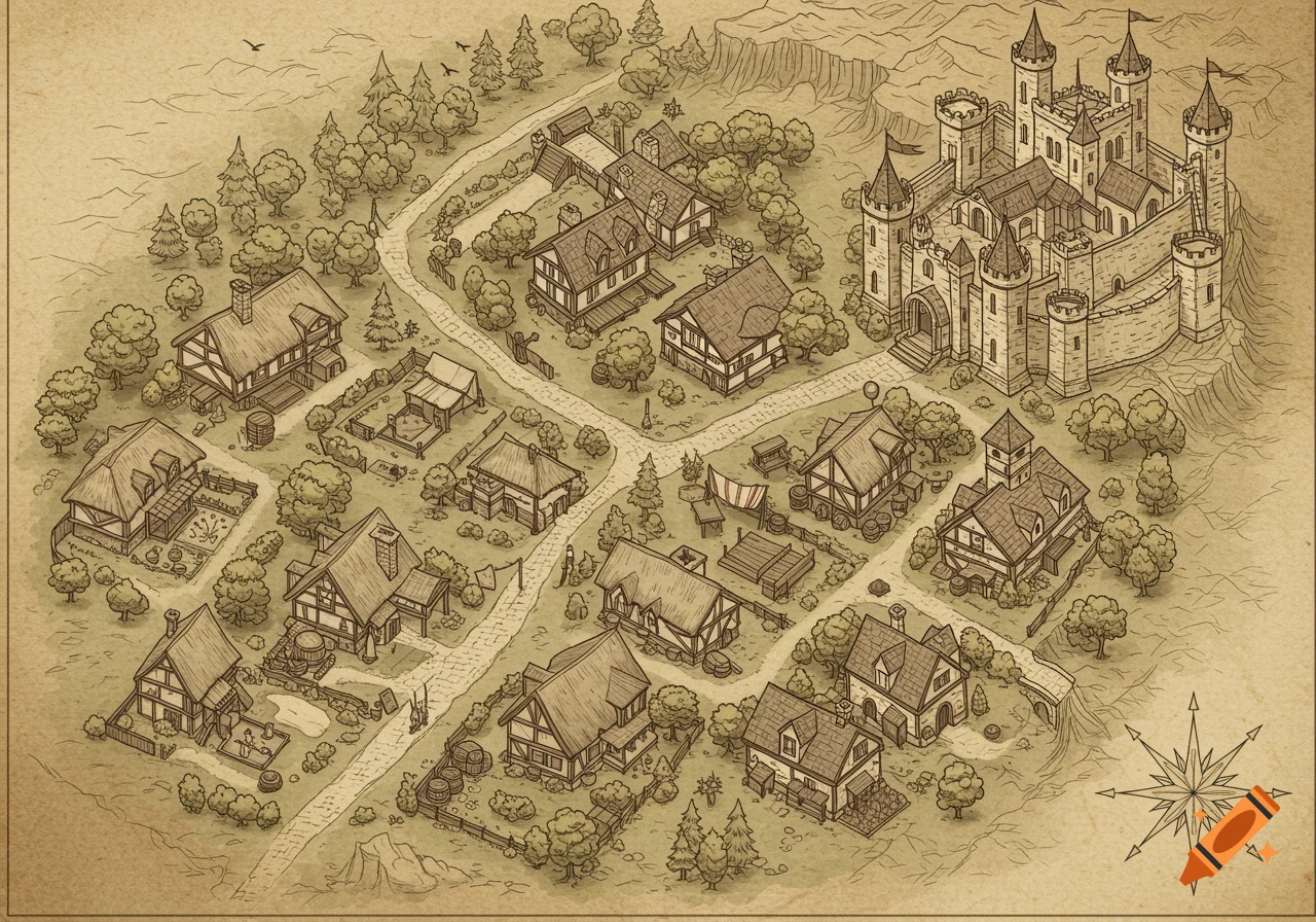
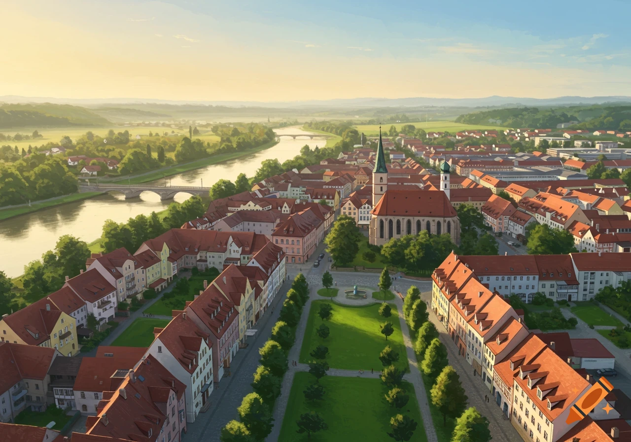
Illustrated tourist map of the historic Old Town of Höxter, Germany, showing a walking route with numbered stops in pastel vector art.

An illustrated orientation map diagram of the historic Old Town (Altstadt) of Höxter, Germany, showing a walking route. Start and End point: 1. Forum (Forum Anja Niedringhaus). Route connects numbered stops in a smooth circular loop: 1. Forum, 2. Dechanei, 3.Nicolaistraße 4. Rathaus, 5. Kilianikirche, 6. Weserpromenade. Clear visual style, flat design vector art map for tourists, clean typography, soft pastel colors, cobblestone streets with timber-framed Weser Renaissance buildings, clear path line connecting 1 through 6 and back to 1 Mehr sehen
More images like this