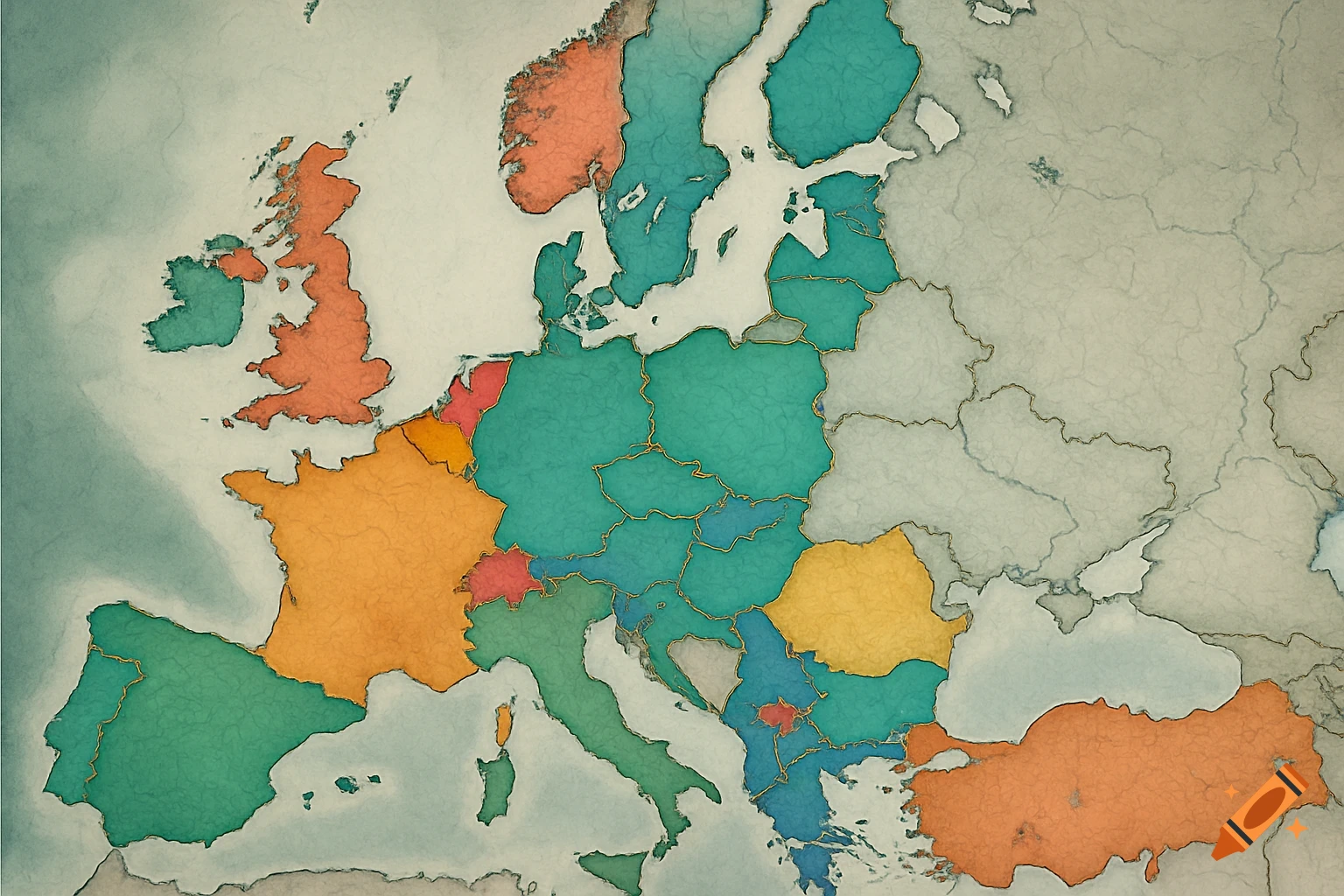
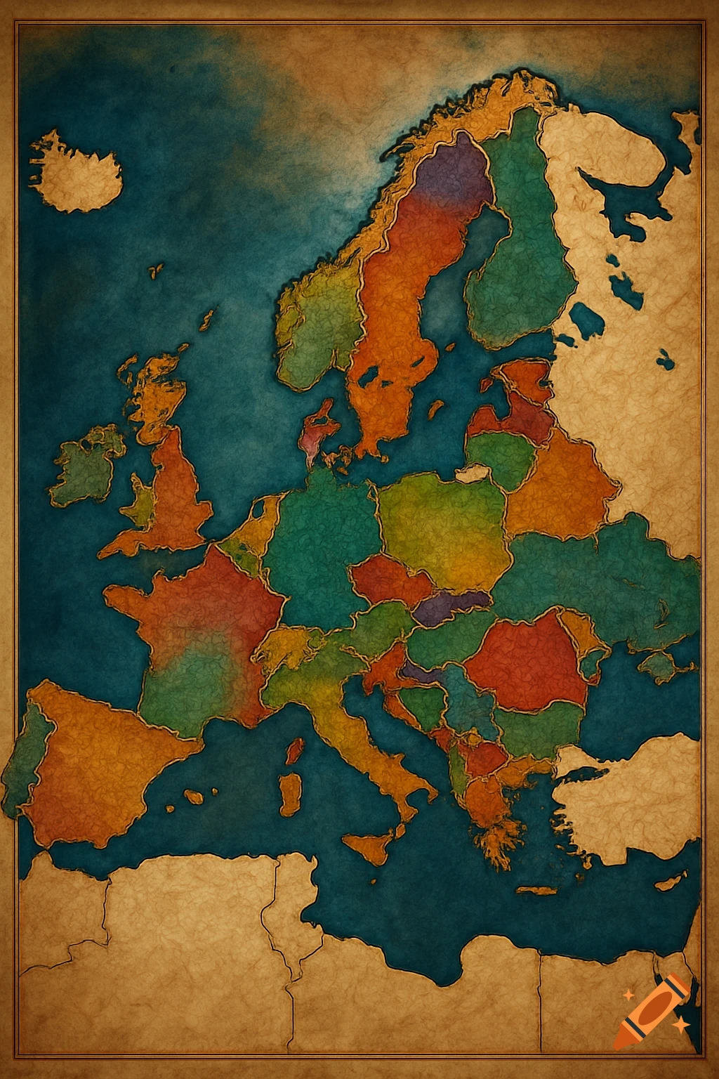
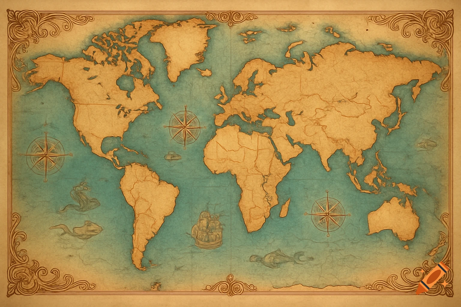
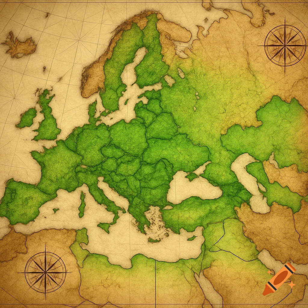
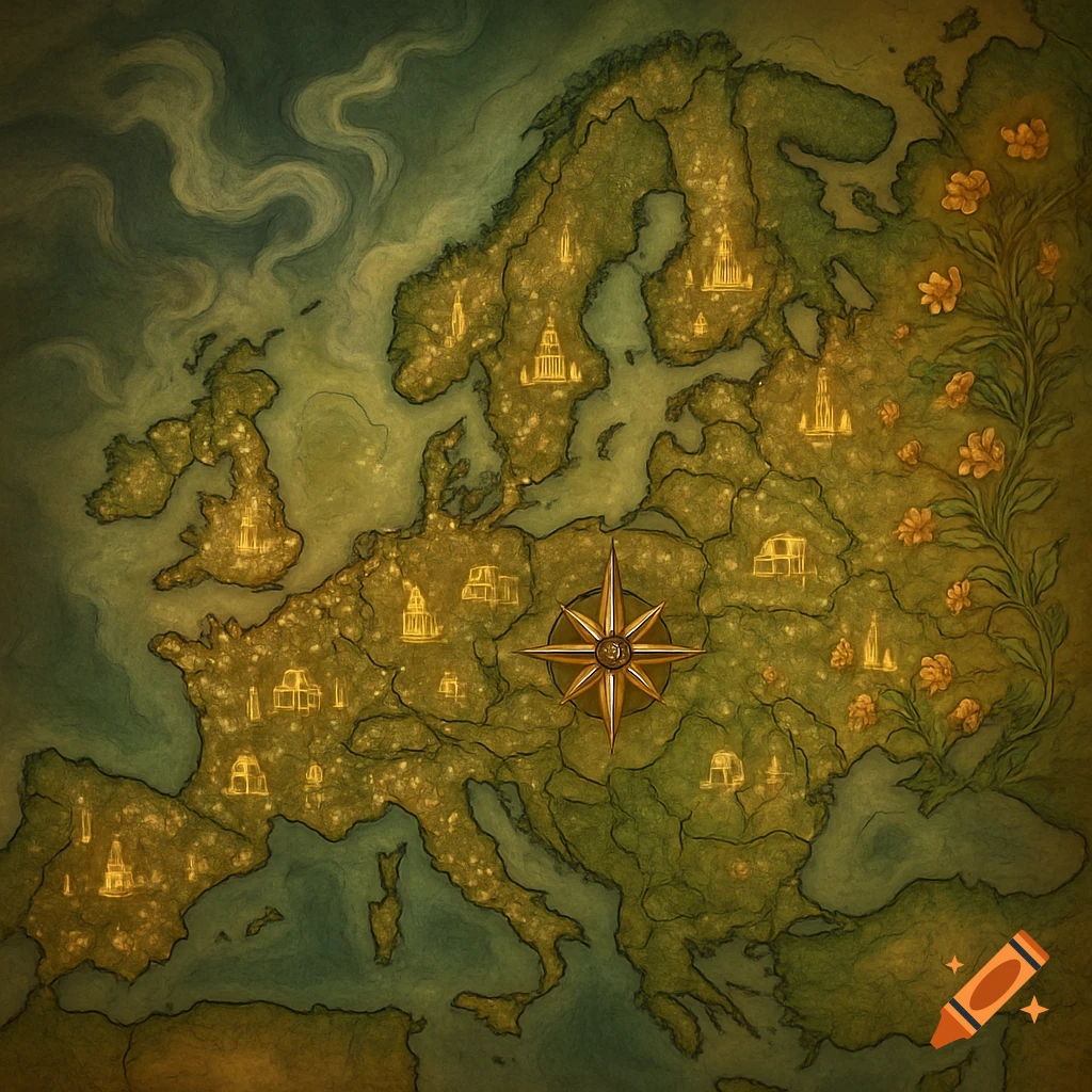
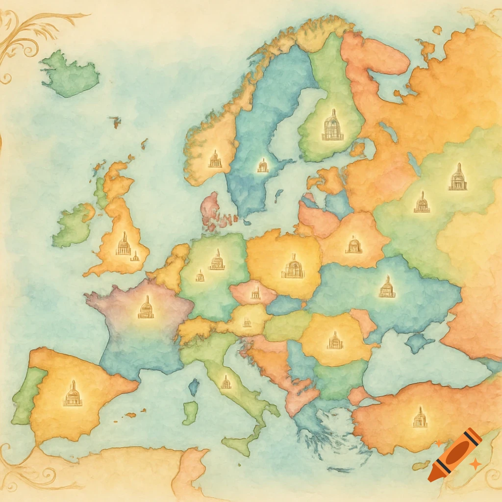
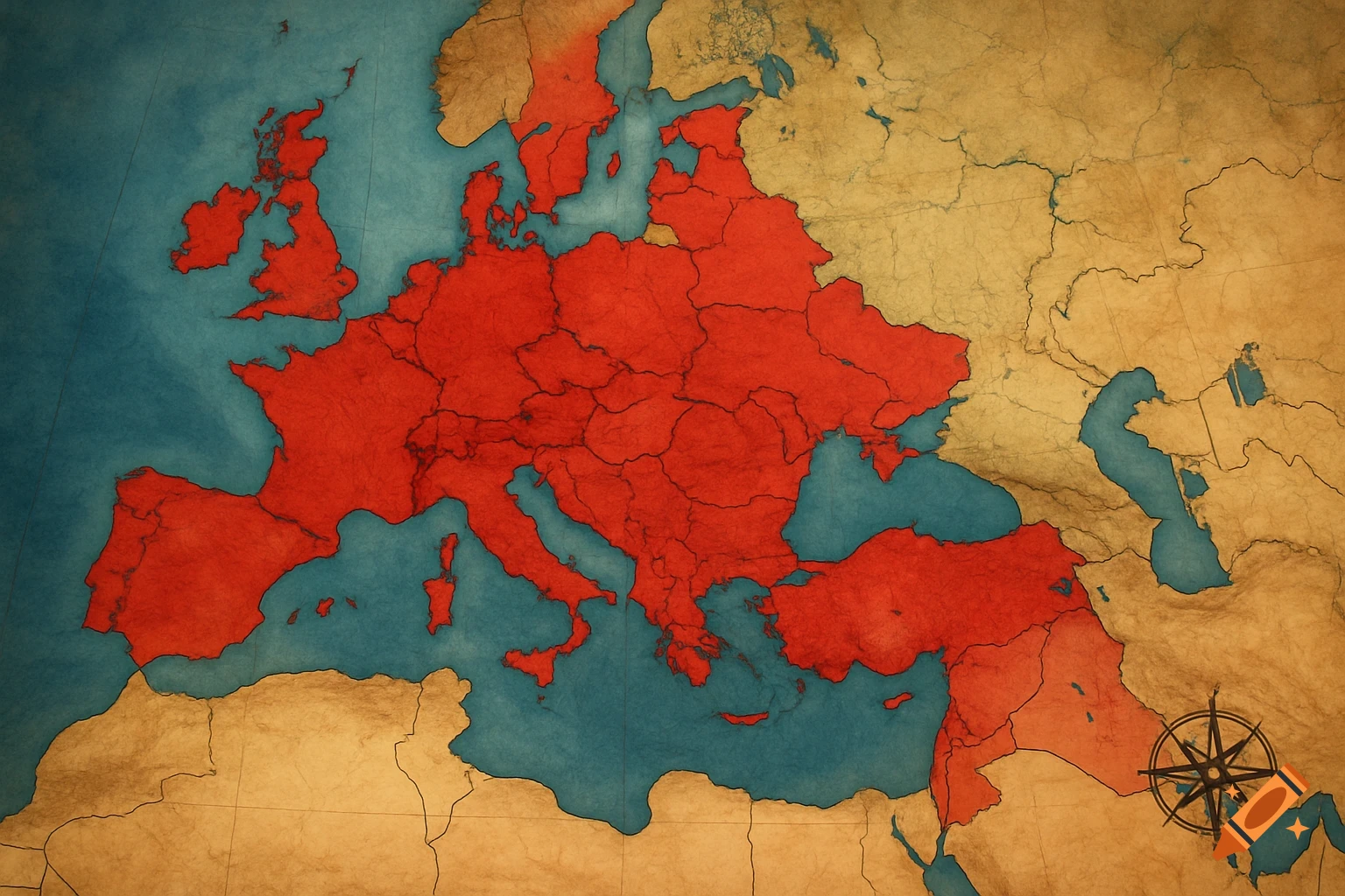
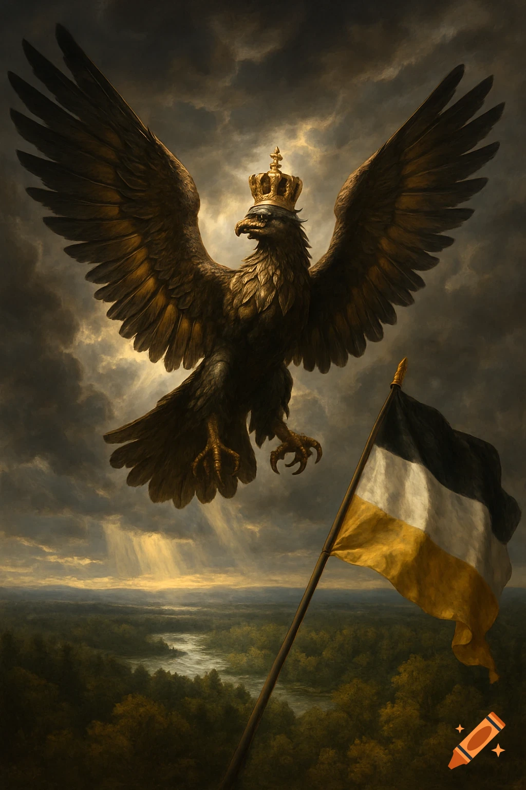
A detailed map of an alternate 1950s Europe, showing a large Holy Roman Empire. The map features golden lines for railways, diagrams of atomic rockets, warships, and an imperial eagle, all in a dieselpunk style on vintage parchment with holographic overlays.

A highly detailed geopolitical map of an alternative 1950s Europe. A massive empire called the Holy Roman Empire covers Germany, Italy, Austria, and parts of France (Savoy, Nice, Lyon). The borders extend to Poland and include a corridor to Odessa on the Black Sea. The map is in a 'dieselpunk meets neoclassical' style, with golden lines for high-speed railways connecting Aachen, Vienna, and Milan. In the margins, diagrams of atomic rockets and the imperial eagle. High resolution, vintage parchment background with futuristic holographic overlays. Mehr sehen
More images like this