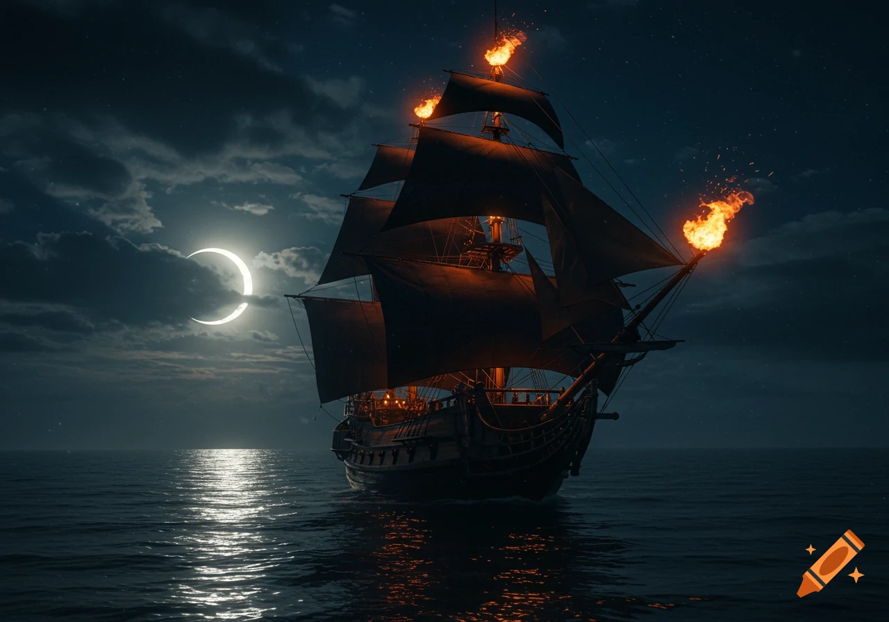
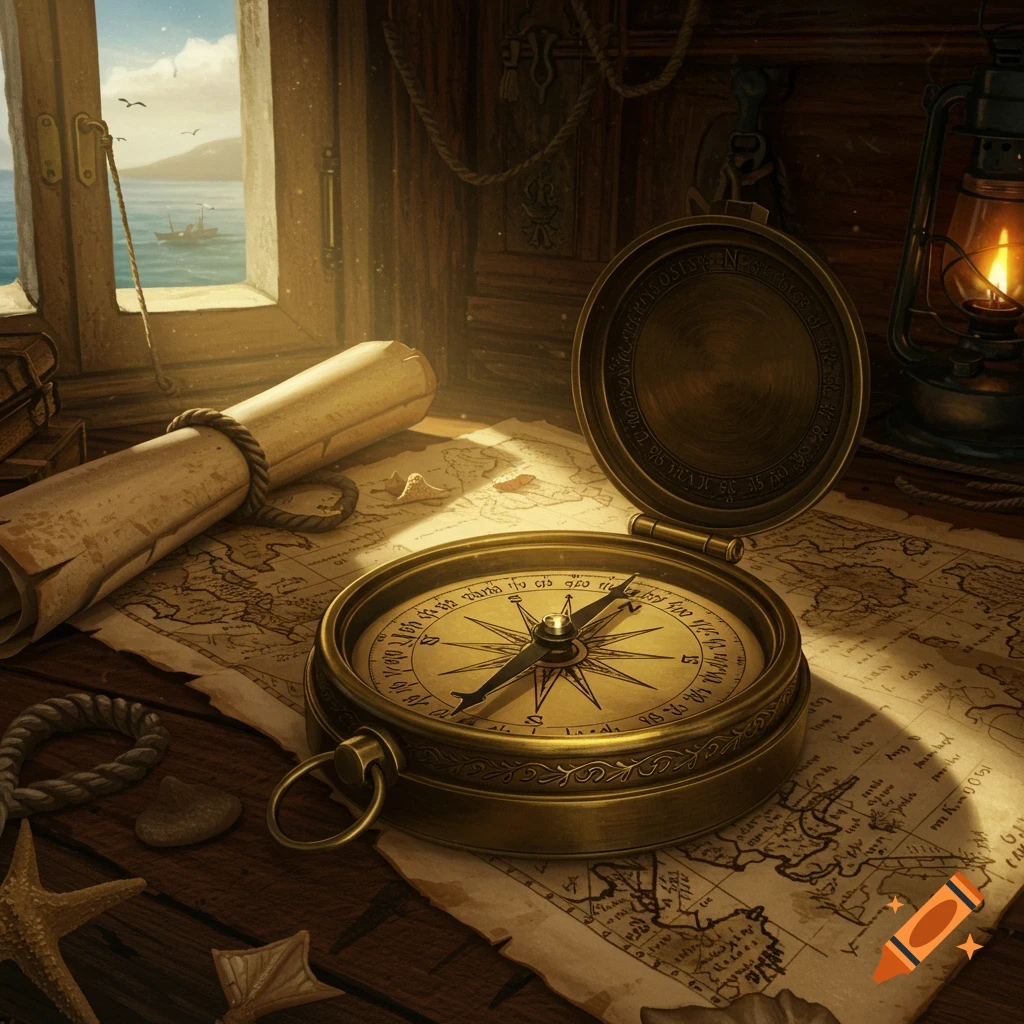
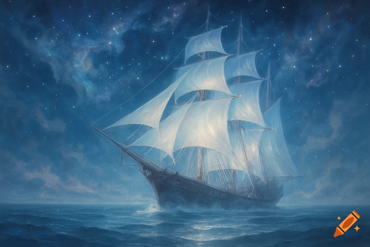
A historic sailing ship on a dark, starry sea with crew members. A compass, map, and lit candles are in the foreground.

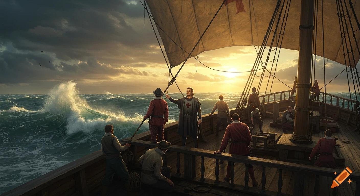
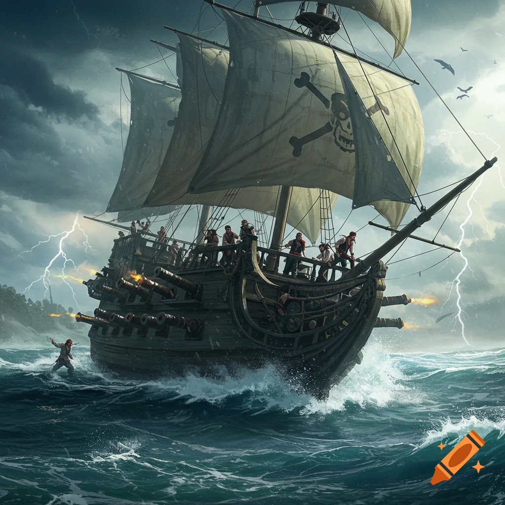
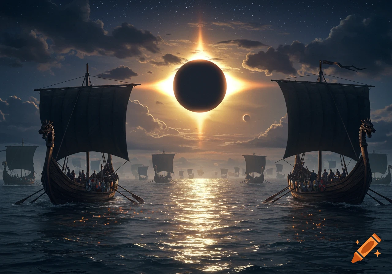
The navigation of the peleio, in the cosmological horizon that shaped the young Columbus, was not seen as mere geographic movement but as participation in the universe’s geometric order, where the ship’s microcosm must constantly mirror the proportions of the celestial macrocosm. In this view, the time of navigation — the Chronos — is not a linear, abstract measure but a dimension bound to the cycles of the stars and the regularity of the winds, making voyage timing a continuous negotiation between human will and the cosmos’s breath. Map reading, with dense networks of wind roses and rhumb lines, transposed a higher harmony onto earth: the pilot, tracing a course along the rhumb lines, followed invisible axes linking terrestrial landmarks — like the Island of San Pietro or the Galitta — to planetary and zodiacal influences that governed the winds. The difficulty of reading these charts lay in decoding a symbolic language where the rhumb line, an infinite spiral on the sphere, is graphically rendered as a straight line so the human intellect might master the chaotic expanse of the seas through the stability of a compass bearing. This hermeneutic operation rested on foundations laid by the great geographers of antiquity and the Renaissance, such as Claudius Ptolemy — whose rediscovery of Geography in the 15th century imposed the idea of projection and coordinate grids — and Paolo dal Pozzo Toscanelli, whose speculations on the globe and the reduced dimensions of the Ocean Mehr sehen
More images like this