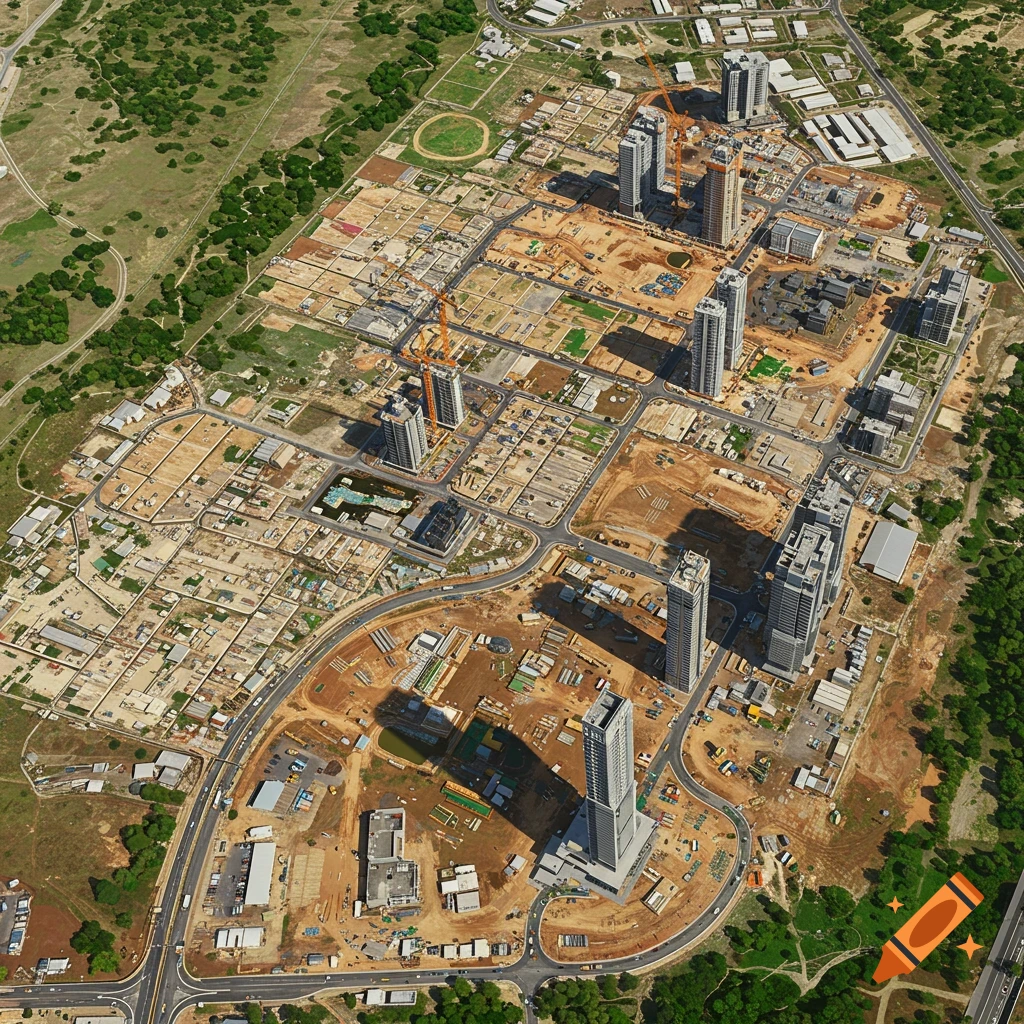
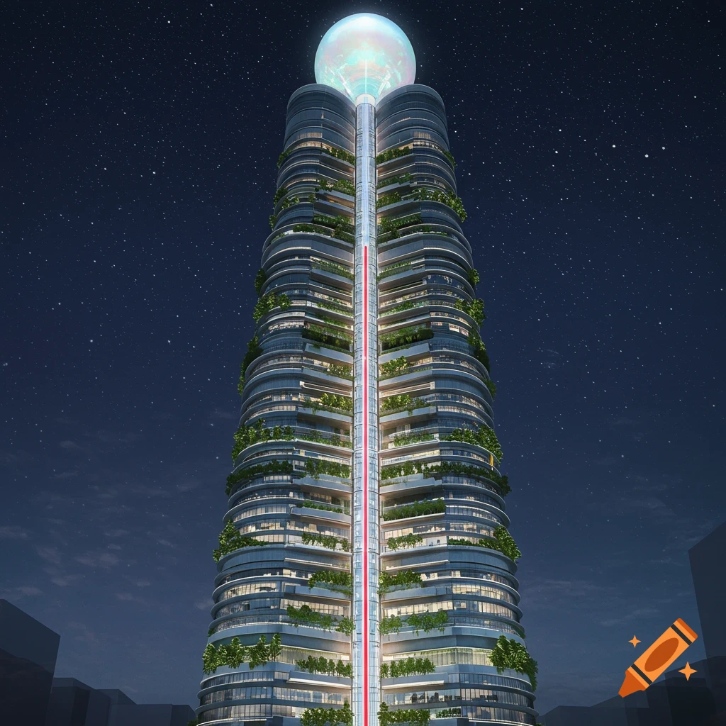
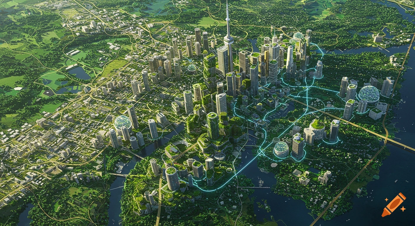
Ultra-detailed aerial masterplan of a perfectly square city with a central island, canals, symmetrical bridges, and various urban zones.

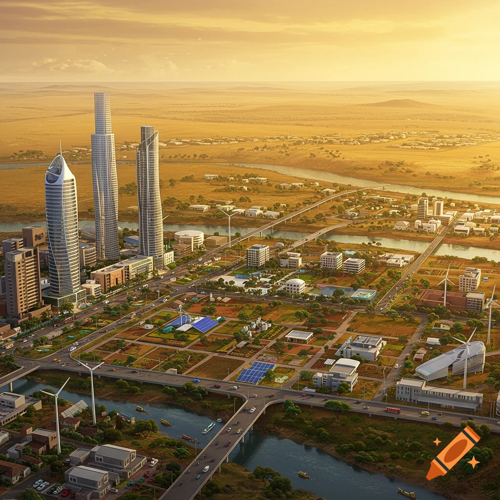
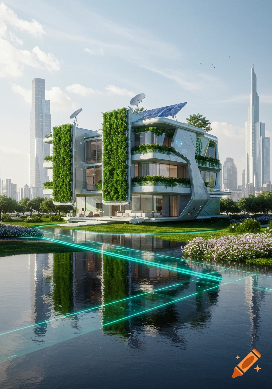
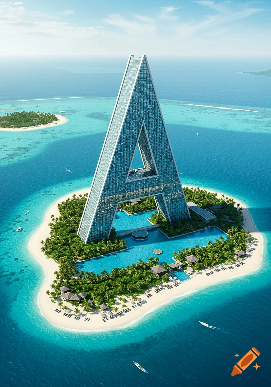
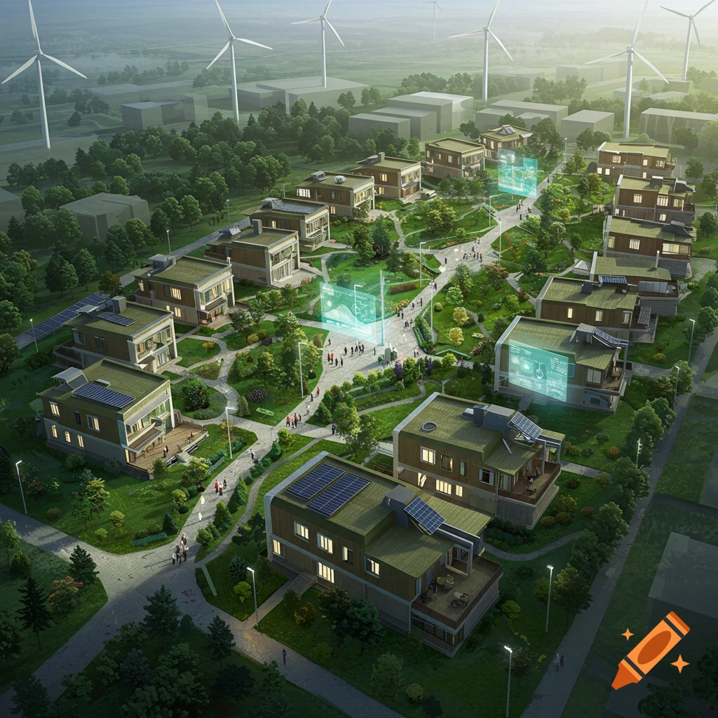
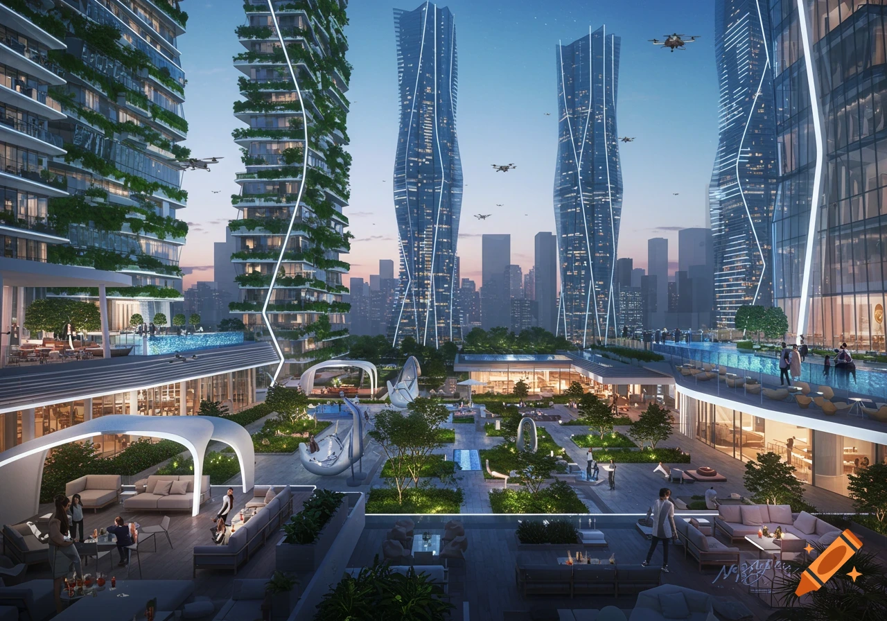
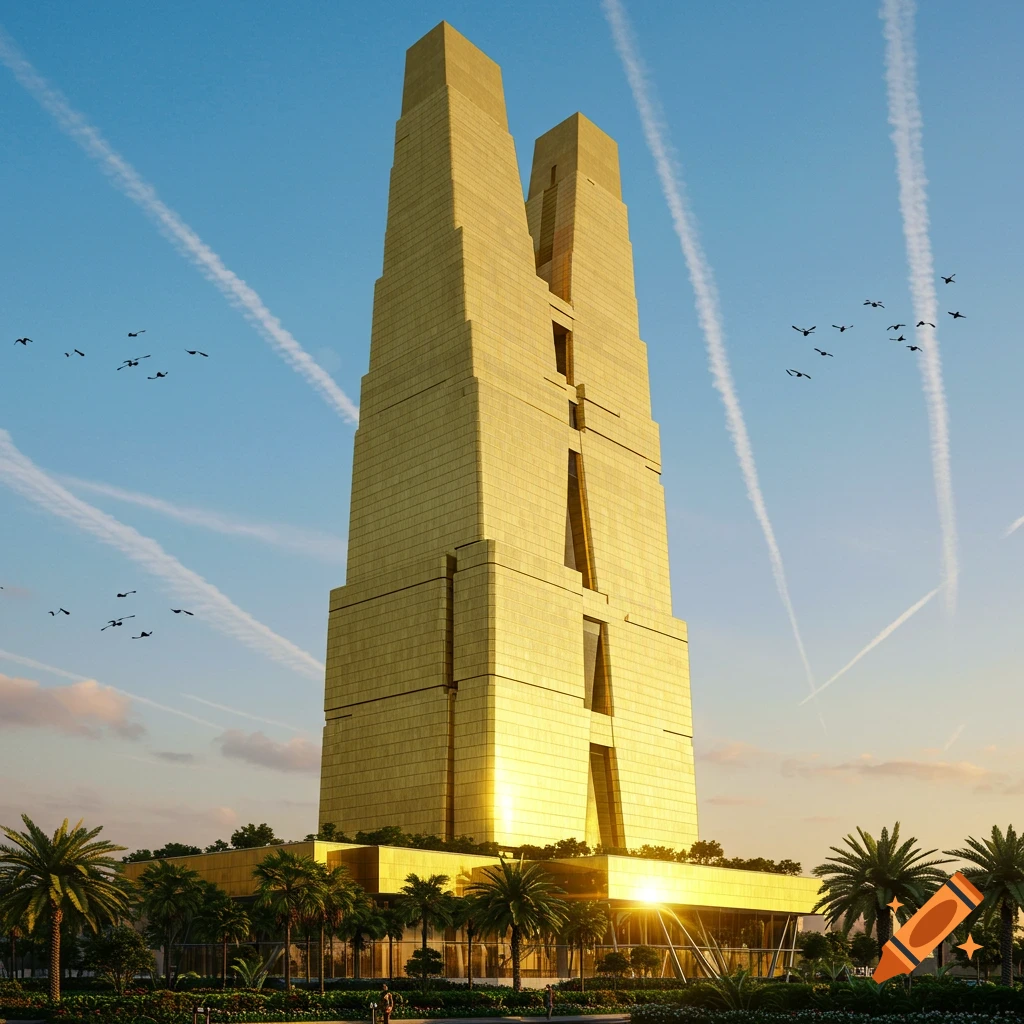
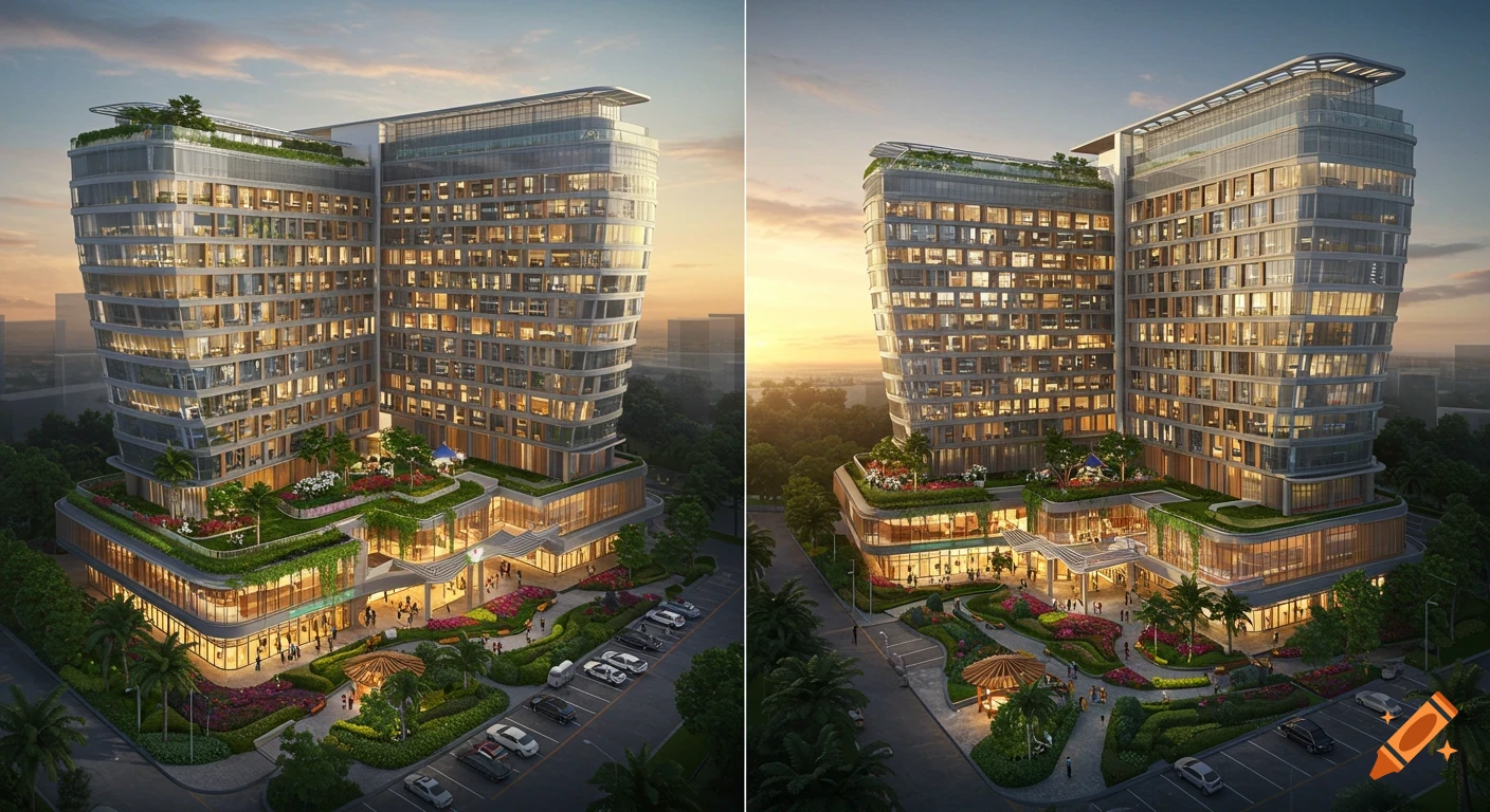
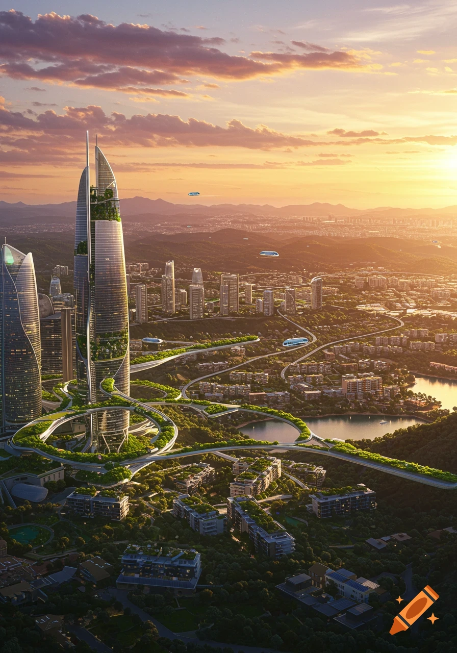
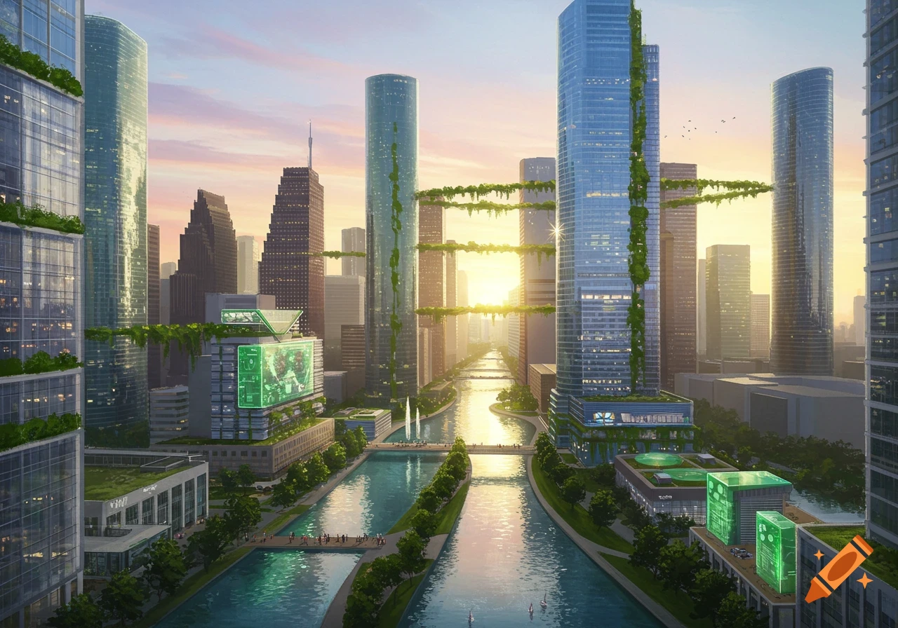
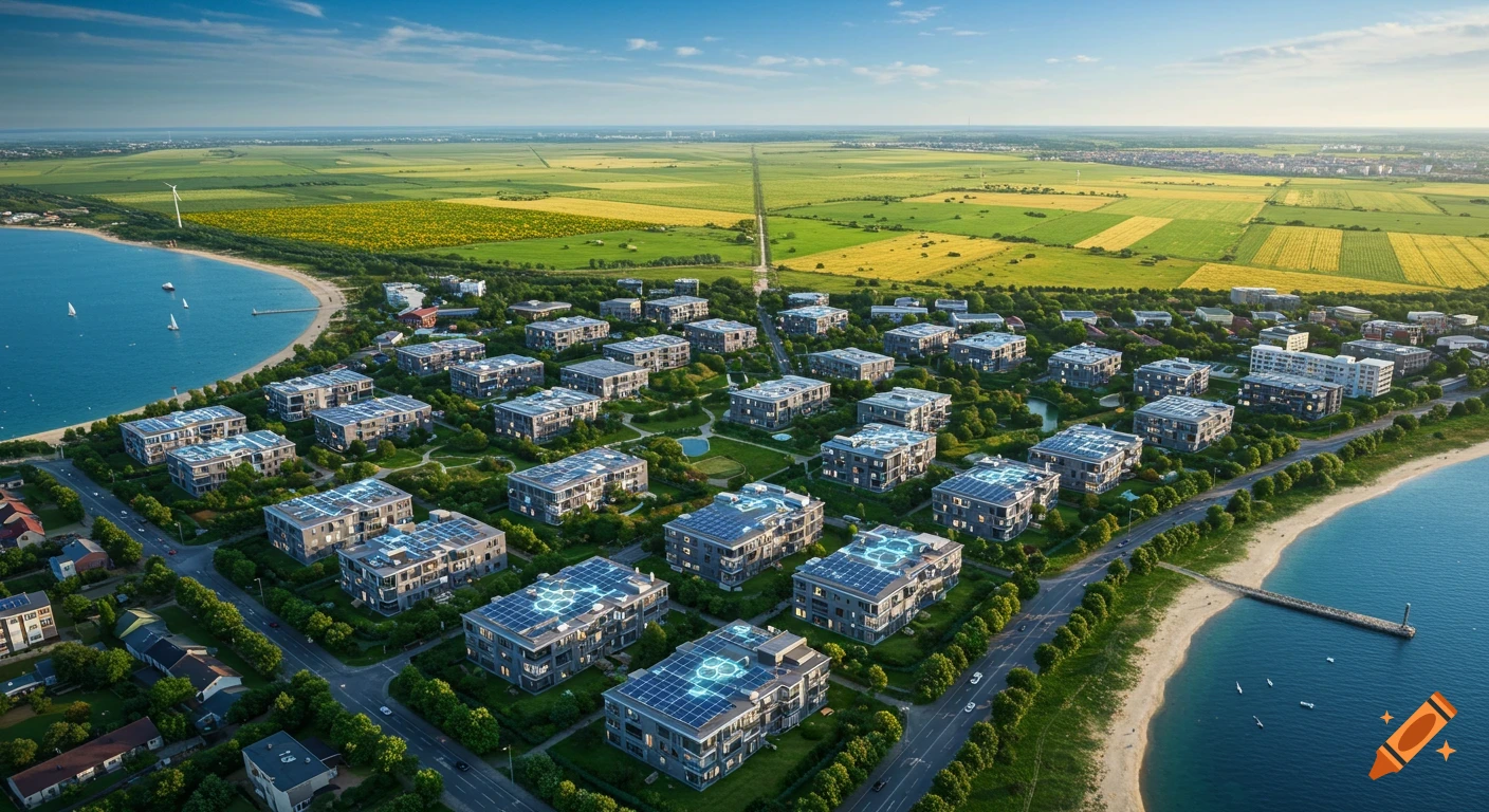
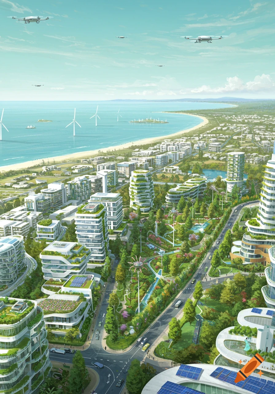
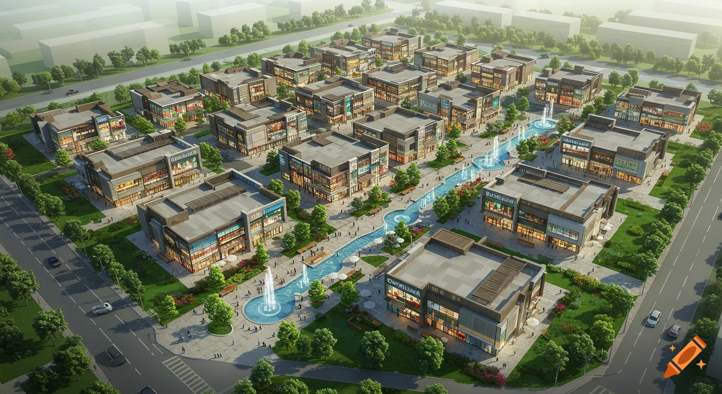
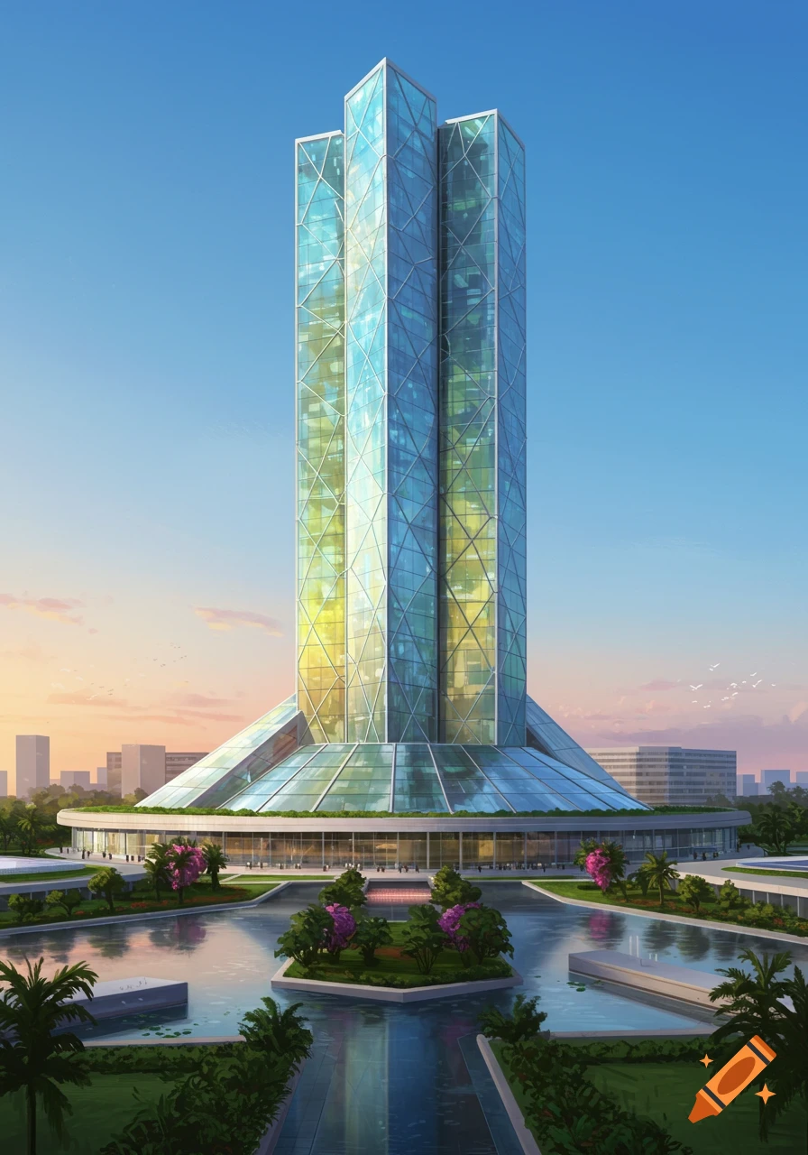
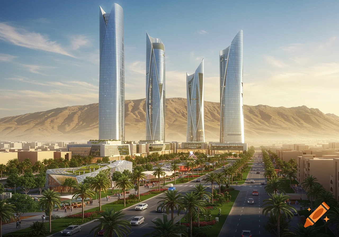
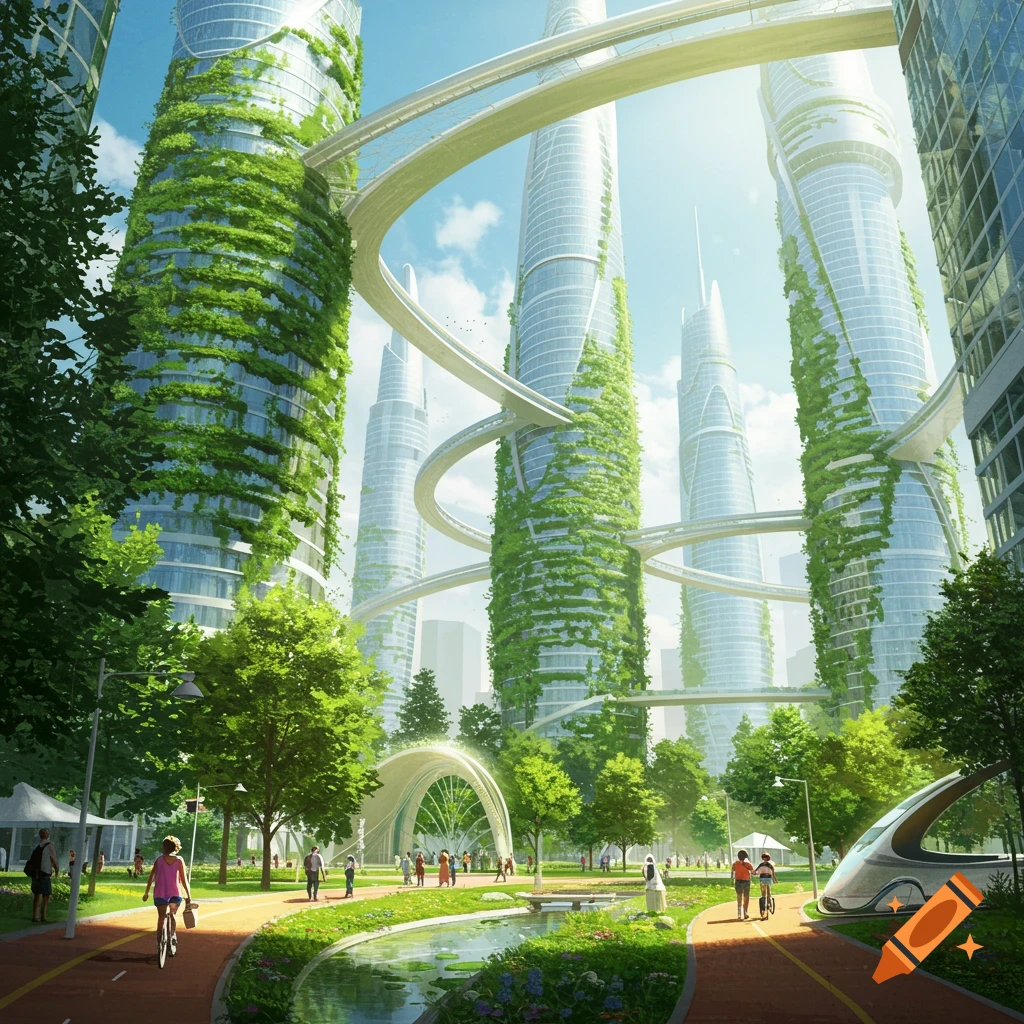
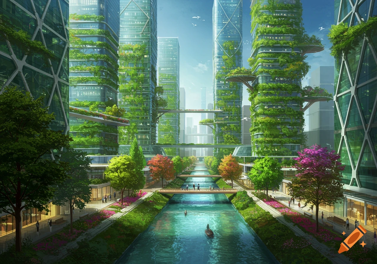
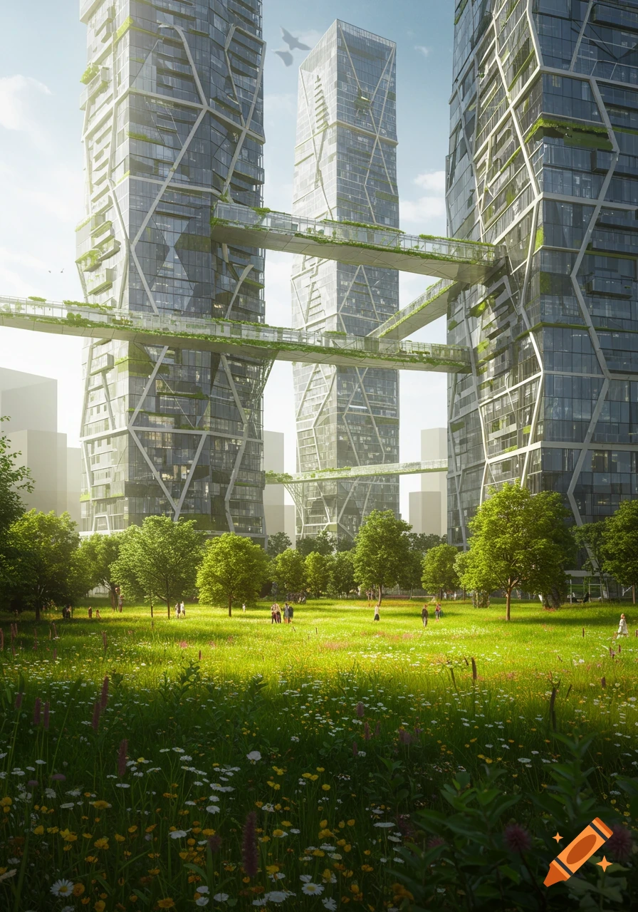
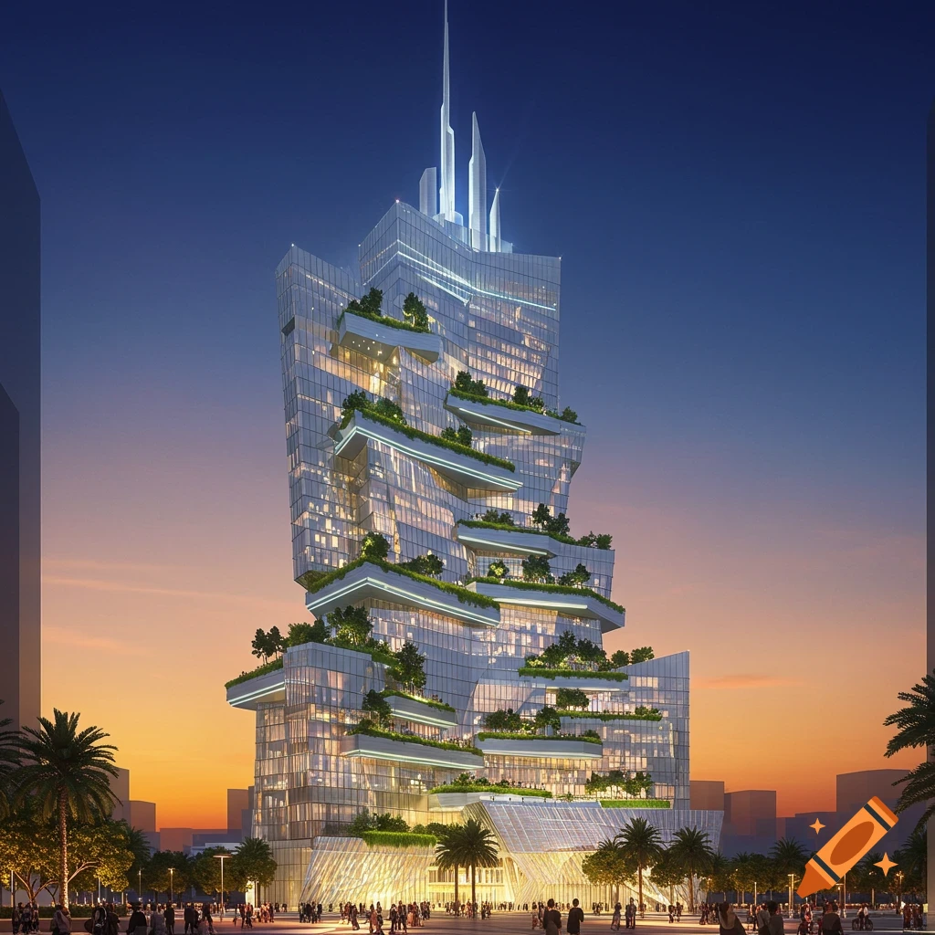
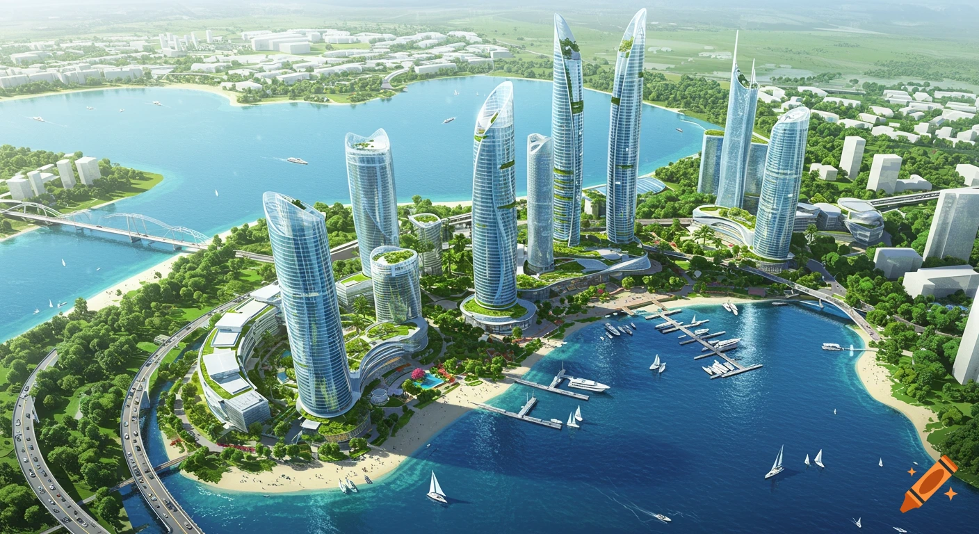
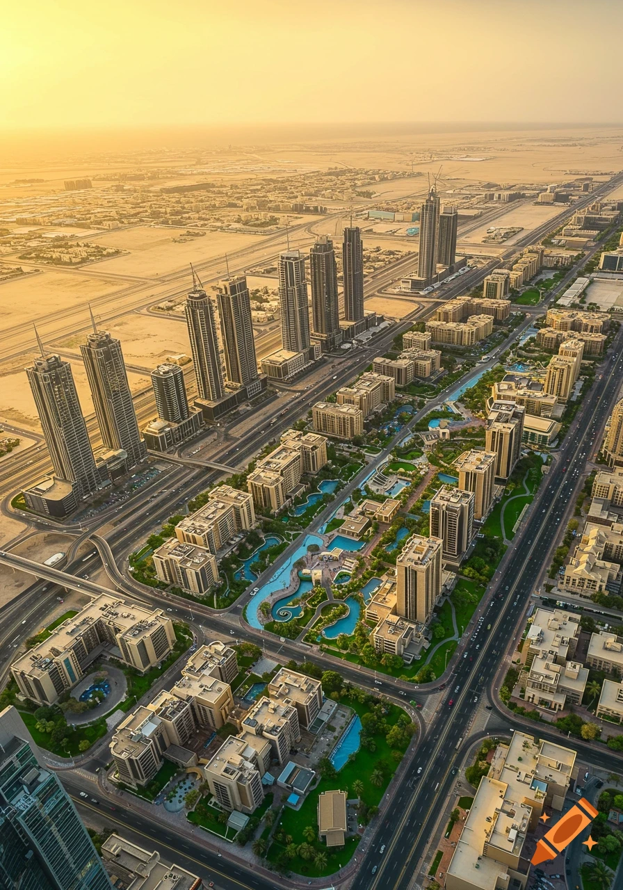
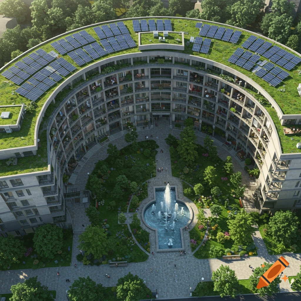
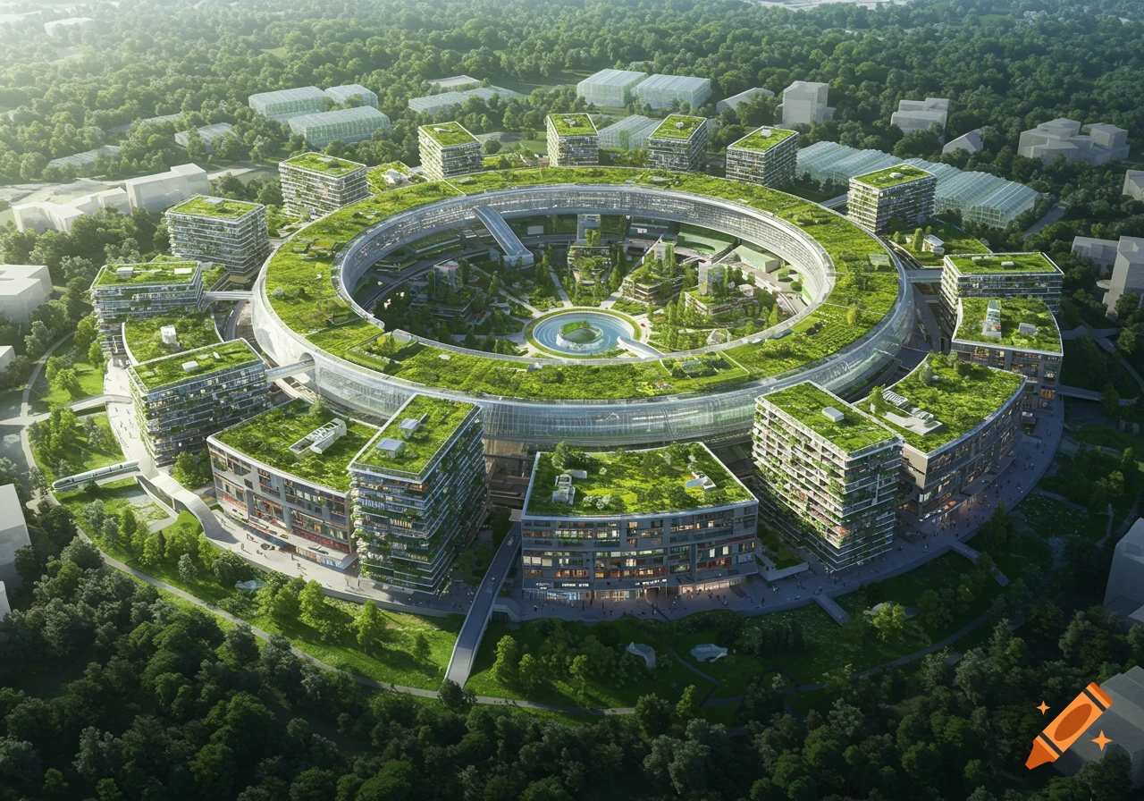
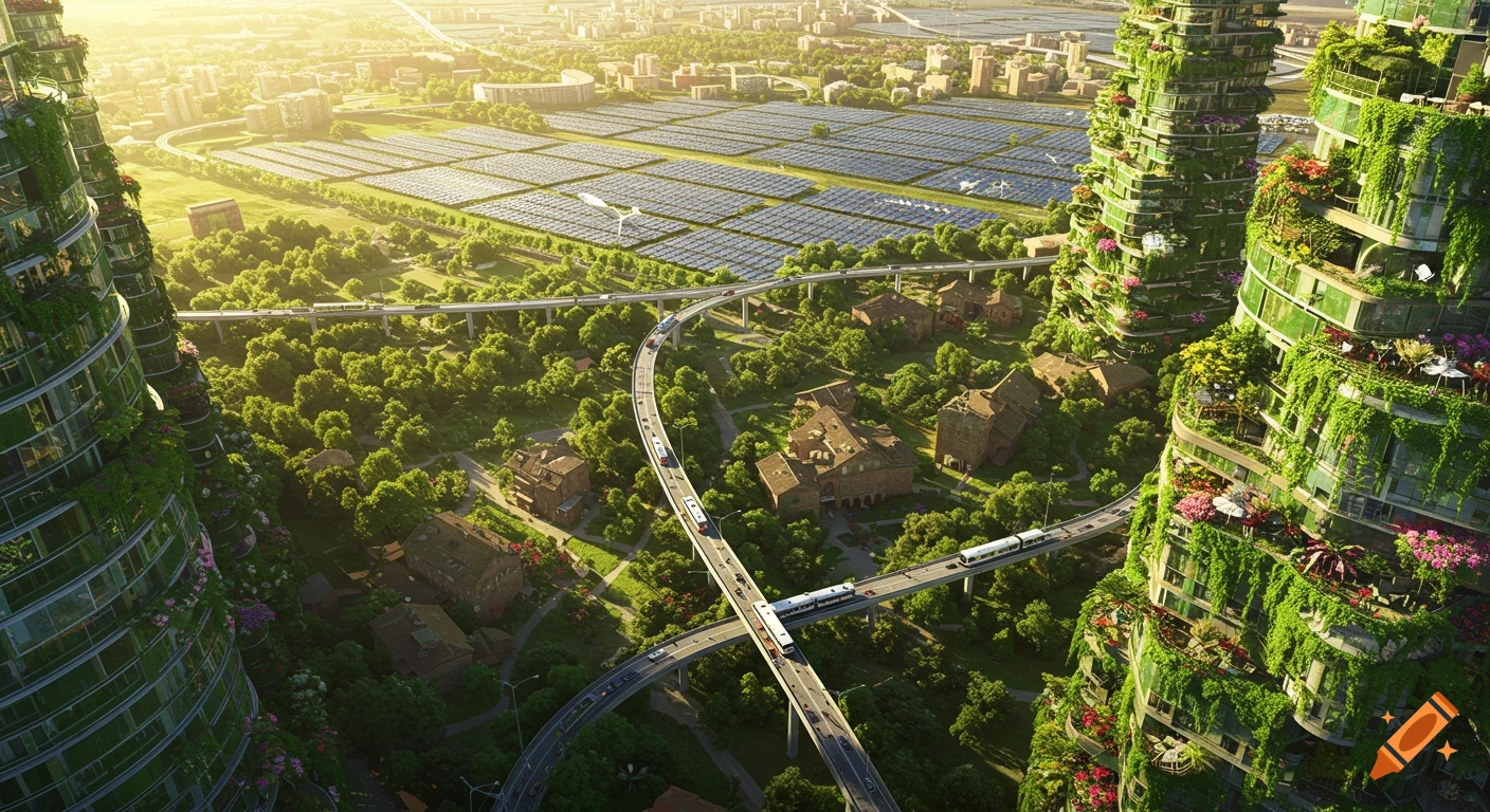
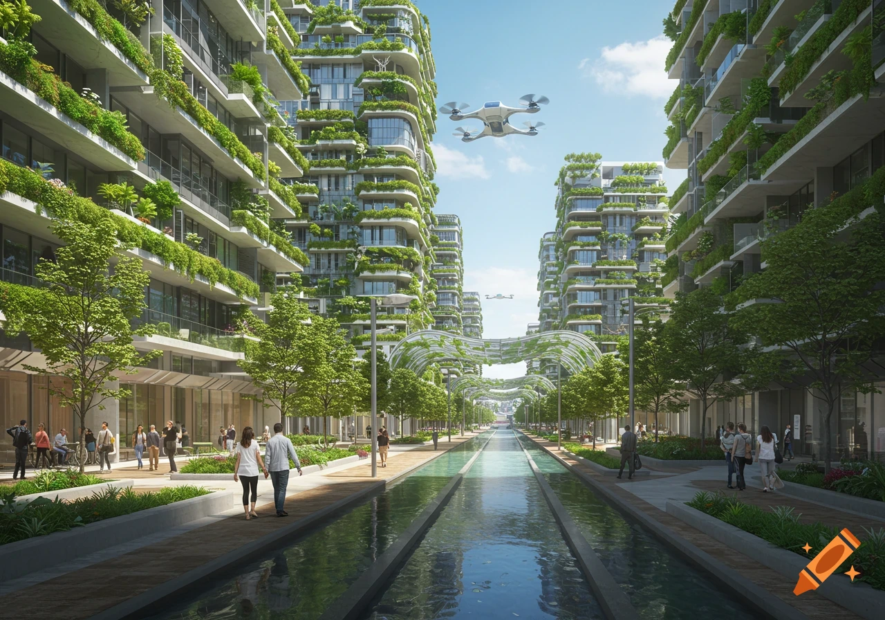
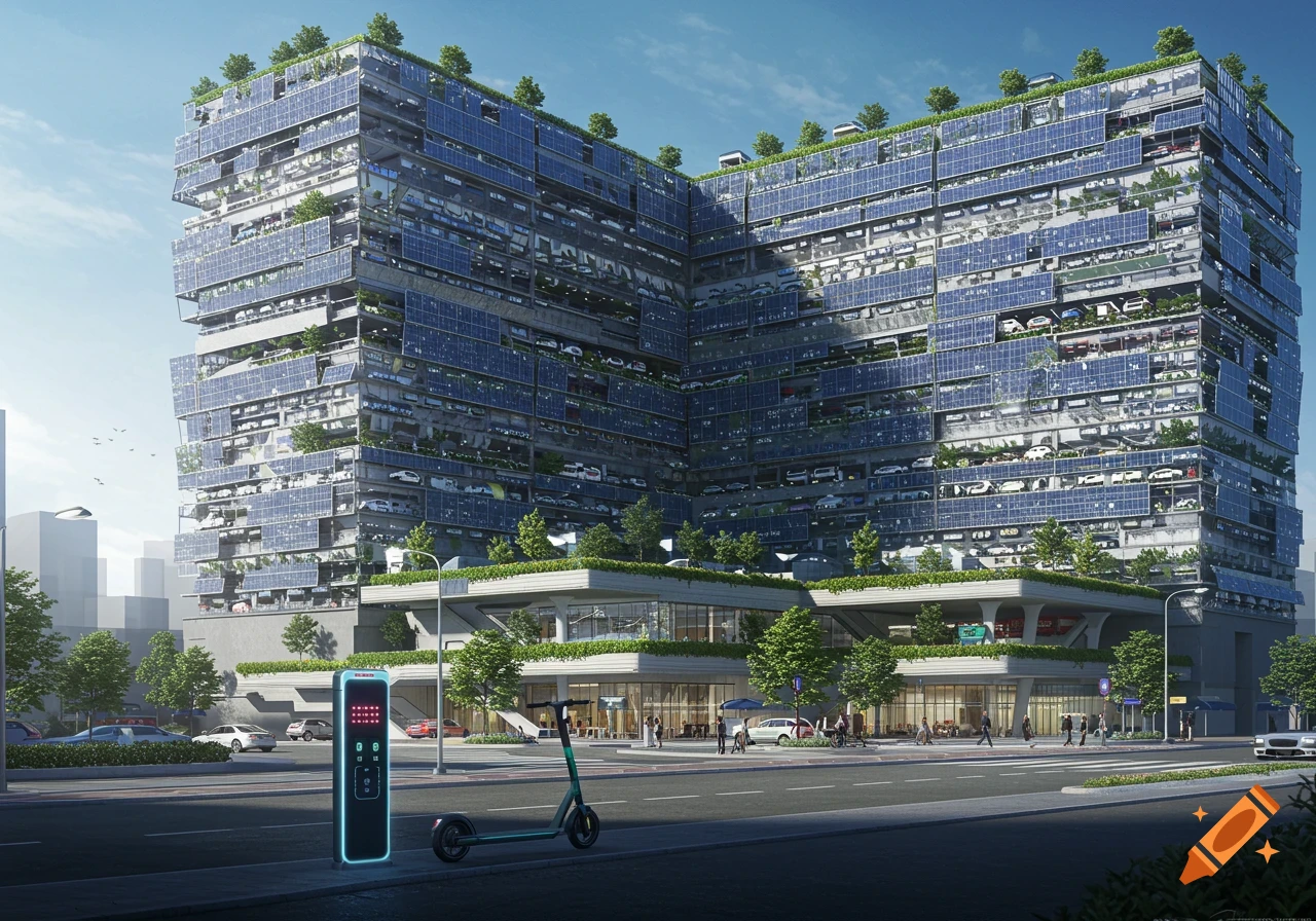
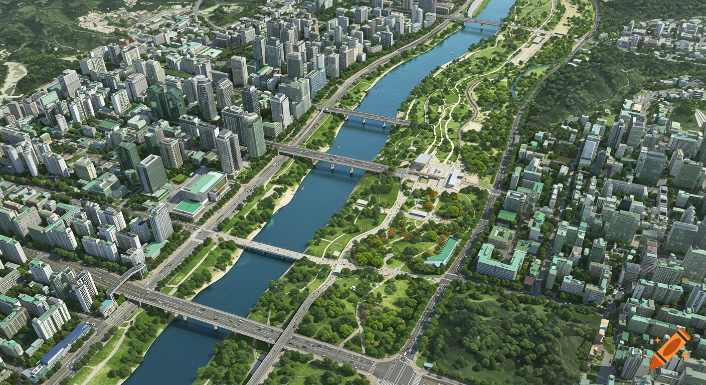
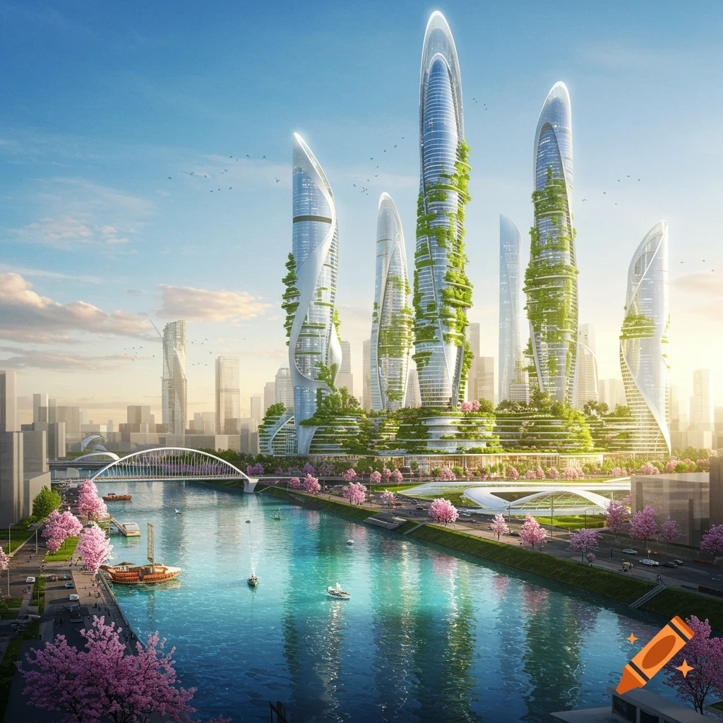
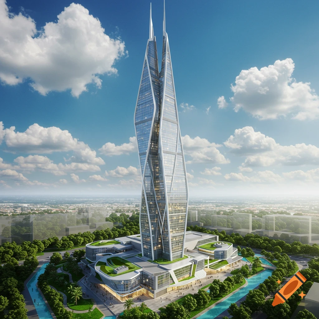
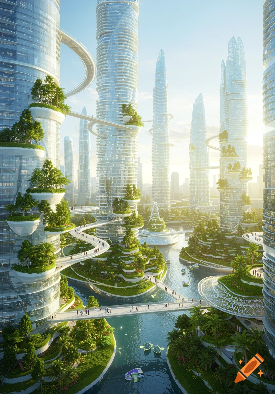
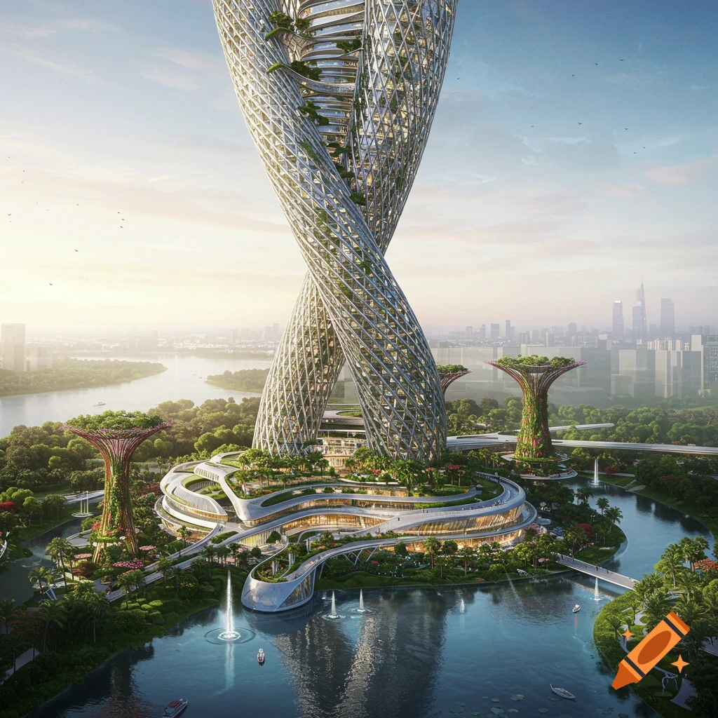
Ultra-detailed aerial masterplan of a perfectly square country measuring 30 km x 30 km. At the exact center: A rectangular inner island (2 km x 1 km) surrounded by a freshwater canal and four symmetrical bridges. Inner island: • Monumental triangle with three iconic towers • Central fountain • Large park zone • Sports area • Pedestrian only 🏙 URBAN STRUCTURE — VILLES RECTANGULAIRES 🔴 Ville Principale (Capitale) Positioned north of the 9 other cities. Shape: Rectangle Dimensions: 30 km x 7.5 km Features: • 15-story civic tower • Administrative & financial center • Grid urban planning • Green corridors • Mixed-use districts 🔵 9 Villes Secondaires Arranged symmetrically in a rectangular / circular distribution below the capital. Each city: Shape: Rectangle Dimensions: 10 km x 7.5 km Urban rules: • Maximum height: 6 floors • One 10-story city hall • Residential + commercial mix • Public parks • Tree-lined boulevards 🌿 SEPARATION ZONES Between cities: • Minimum 100m green buffer • Agricultural zones • Forest corridors • Public green infrastructure 🚄 INFRASTRUCTURE • High-speed rail connecting all cities • Ring highway outside the urban zone • Two airports (north & south) • Ports if coastal Style: Ultra-realistic satellite drone masterplan, perfect geometric symmetry, professional urban planning visualization, 8K resolution, clean layout. Mehr sehen
More images like this