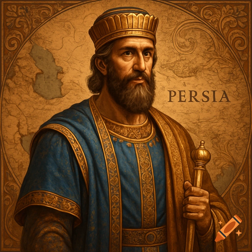
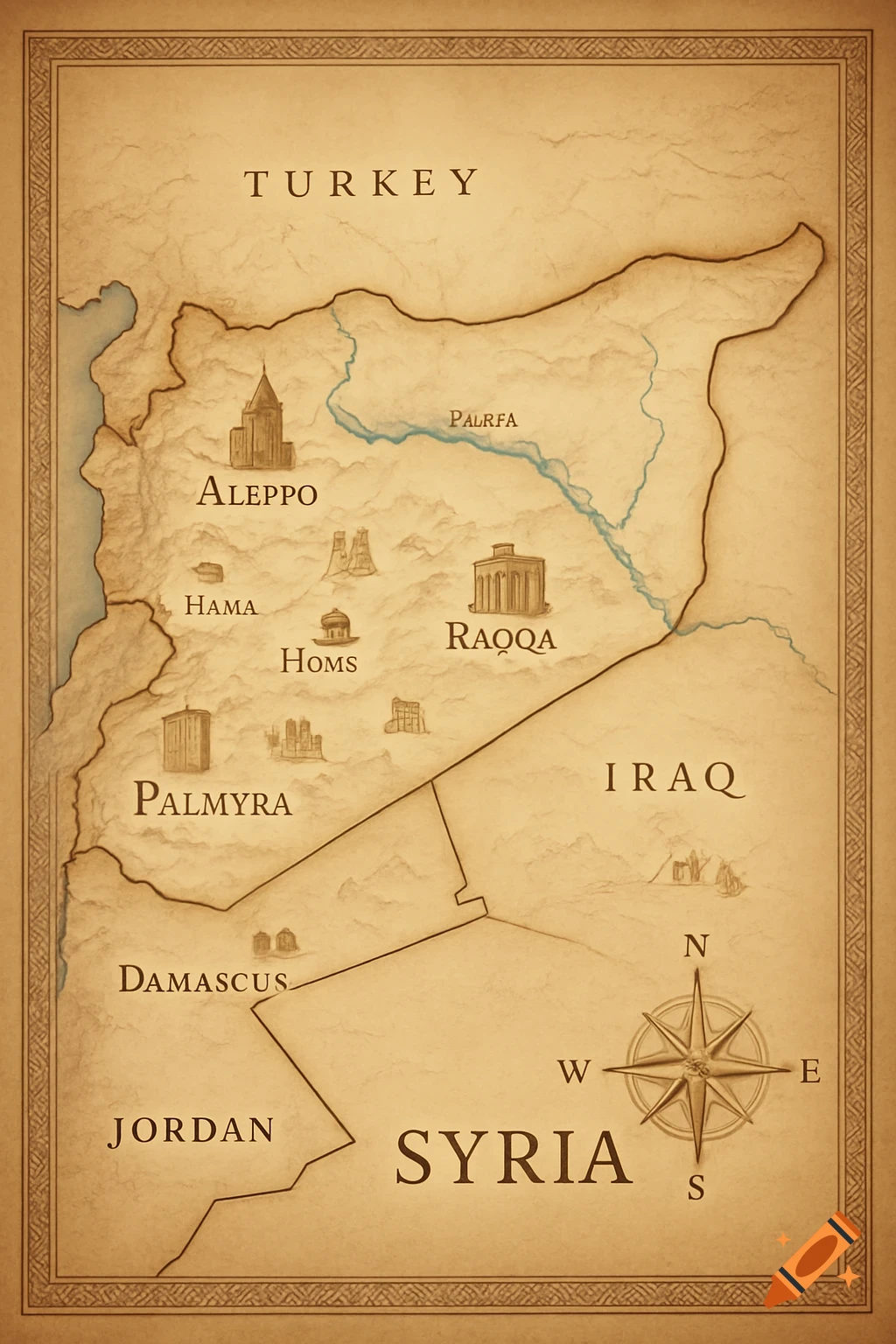
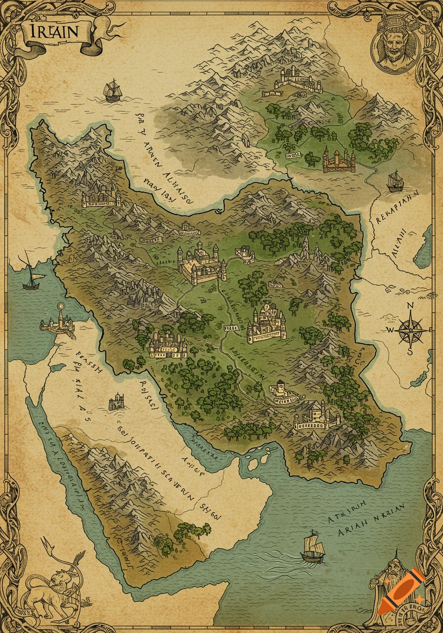
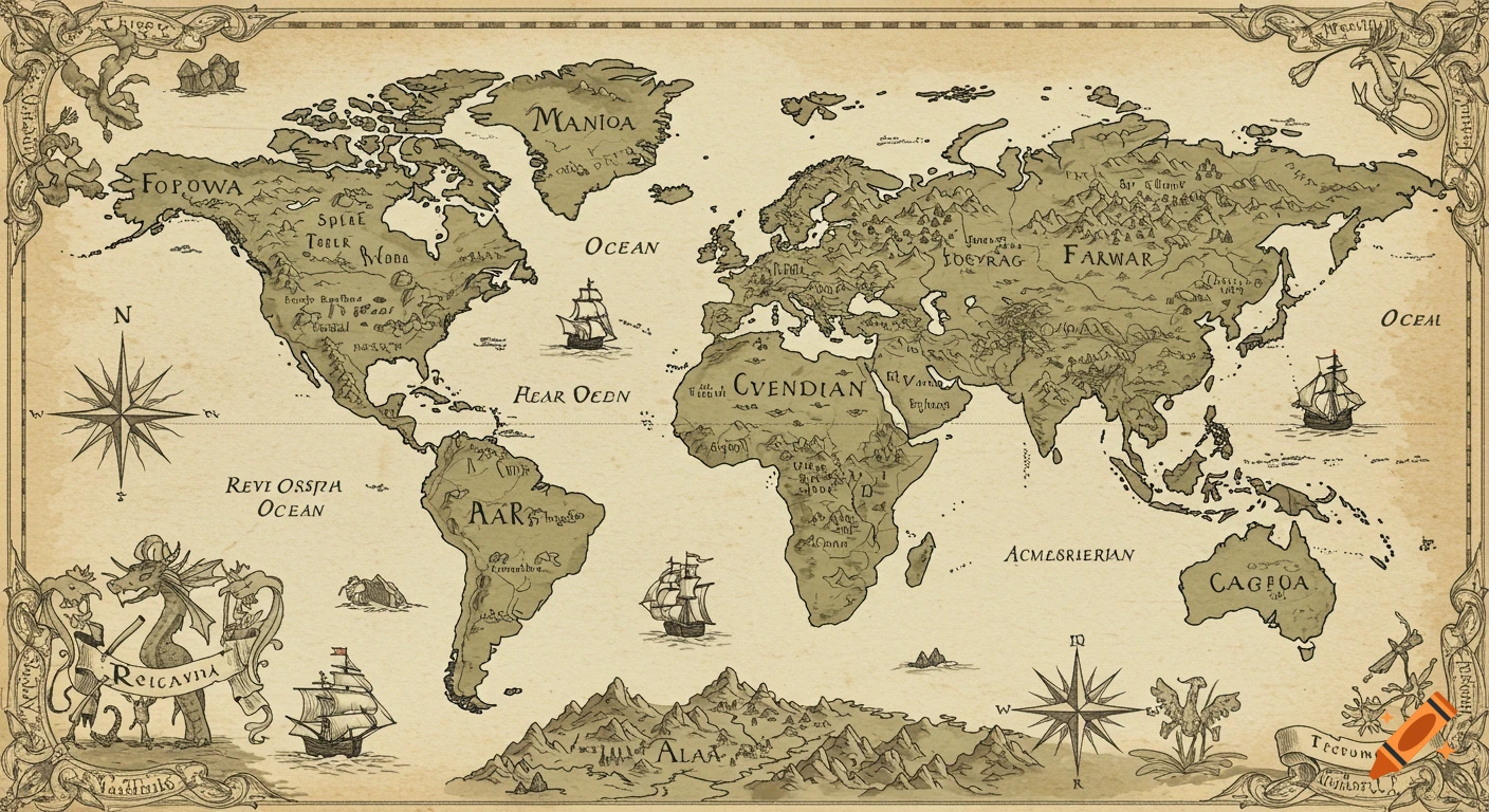
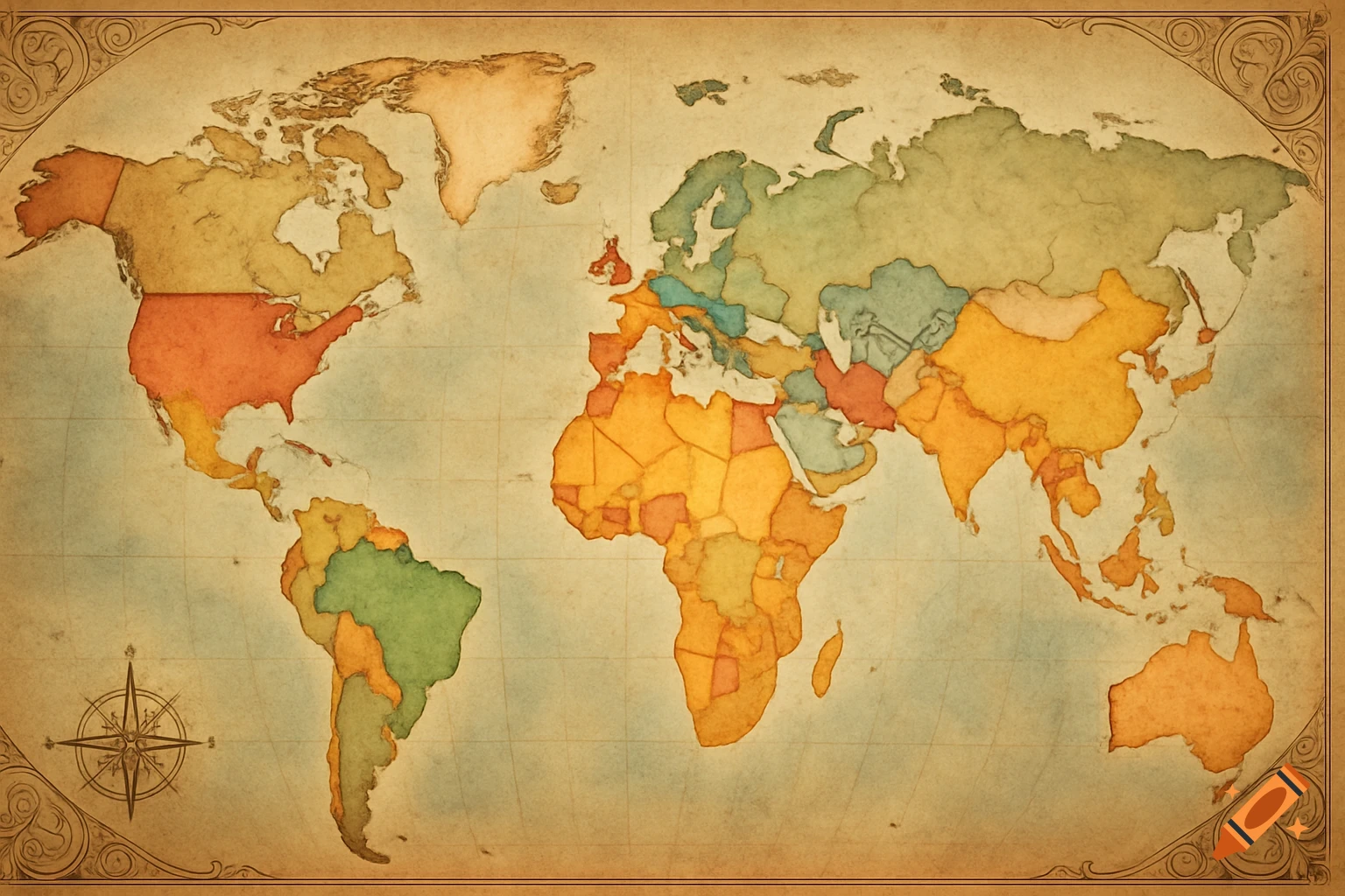
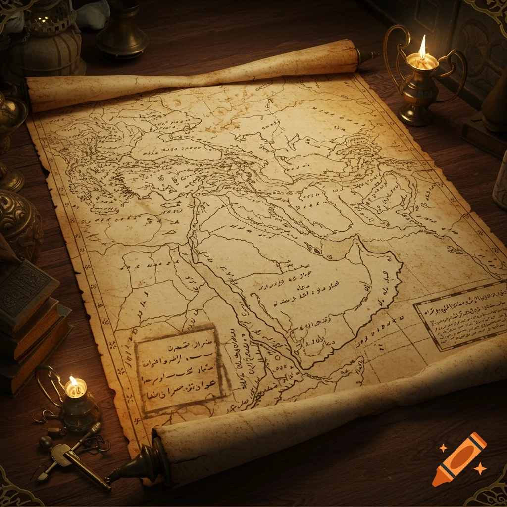
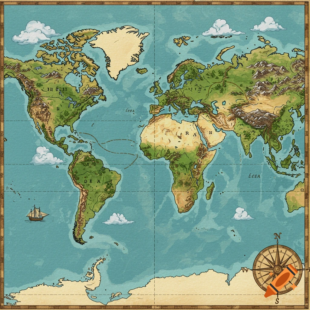
A detailed vintage-style political map showing the Persian Empire at its height, with labeled countries, cities, and trade routes.

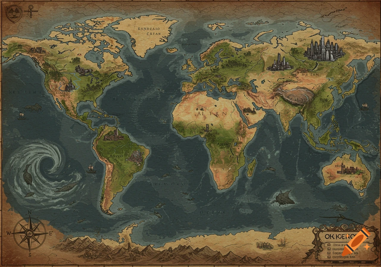
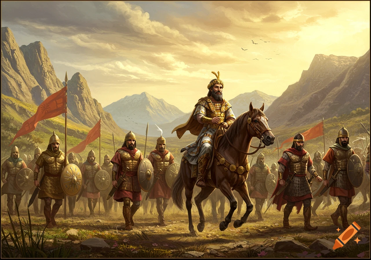
"Create a detailed political world map showing the Persian Empire at its peak: Central Asia (Pakistan, Afghanistan, Uzbekistan, Kyrgyzstan, Tajikistan, Turkmenistan, Northern India), Middle East (Iran, Iraq, Syria, Lebanon, Jordan, Israel/Palestine, Egypt), Eastern Mediterranean/Europe (Turkey, Greece, Bulgaria, parts of Romania, Macedonia, Constantinople region), North Africa (Tunisia, Morocco), Indian Ocean trade territories (India and surrounding islands), and influence zones in China. Show independent countries (France, England, Portugal, Algeria, Libya, Spain) in a different color, label major cities, trade routes, and vassals. Style: realistic political map, highly detailed." with mongols rulin about 2 million sa well Mehr sehen
More images like this