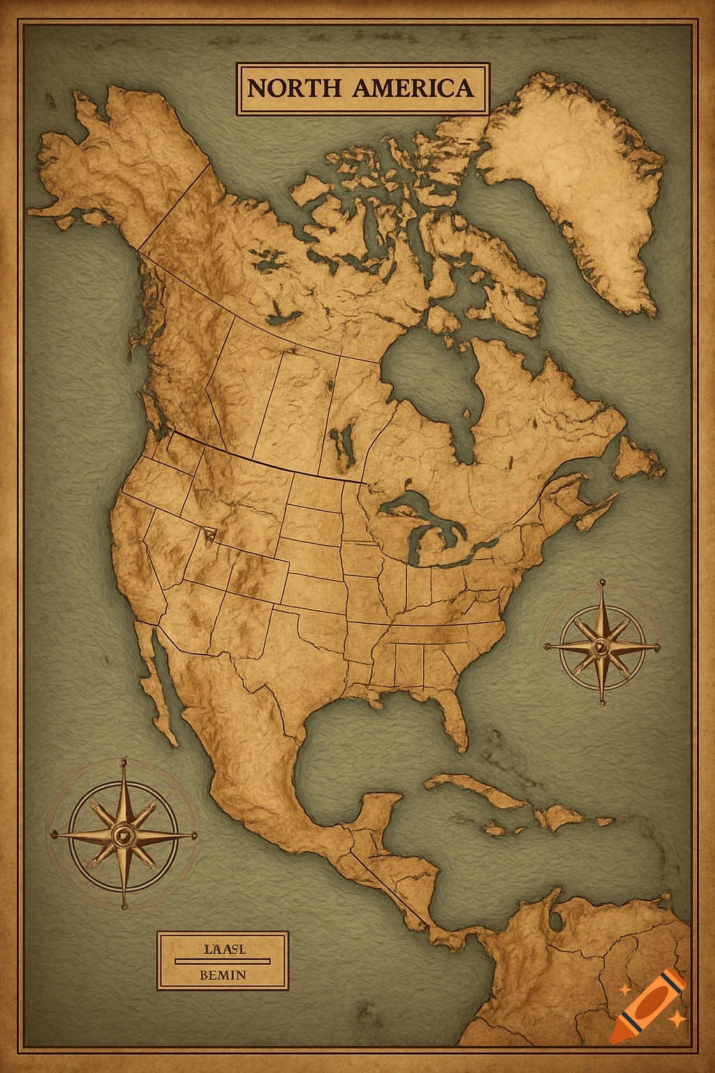
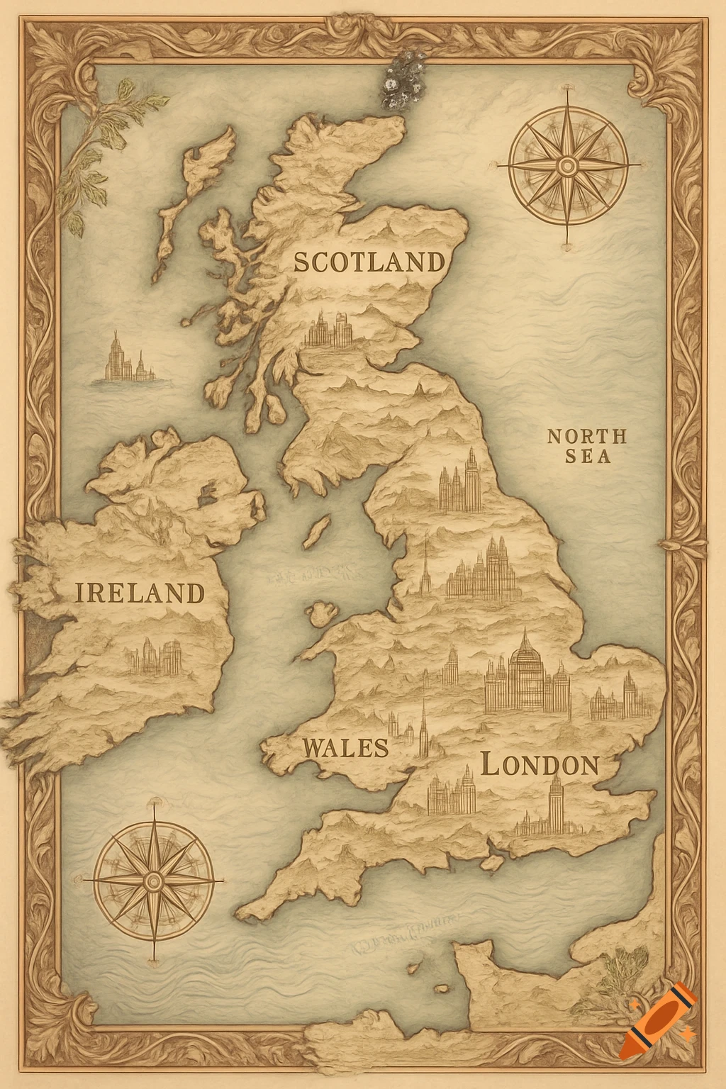
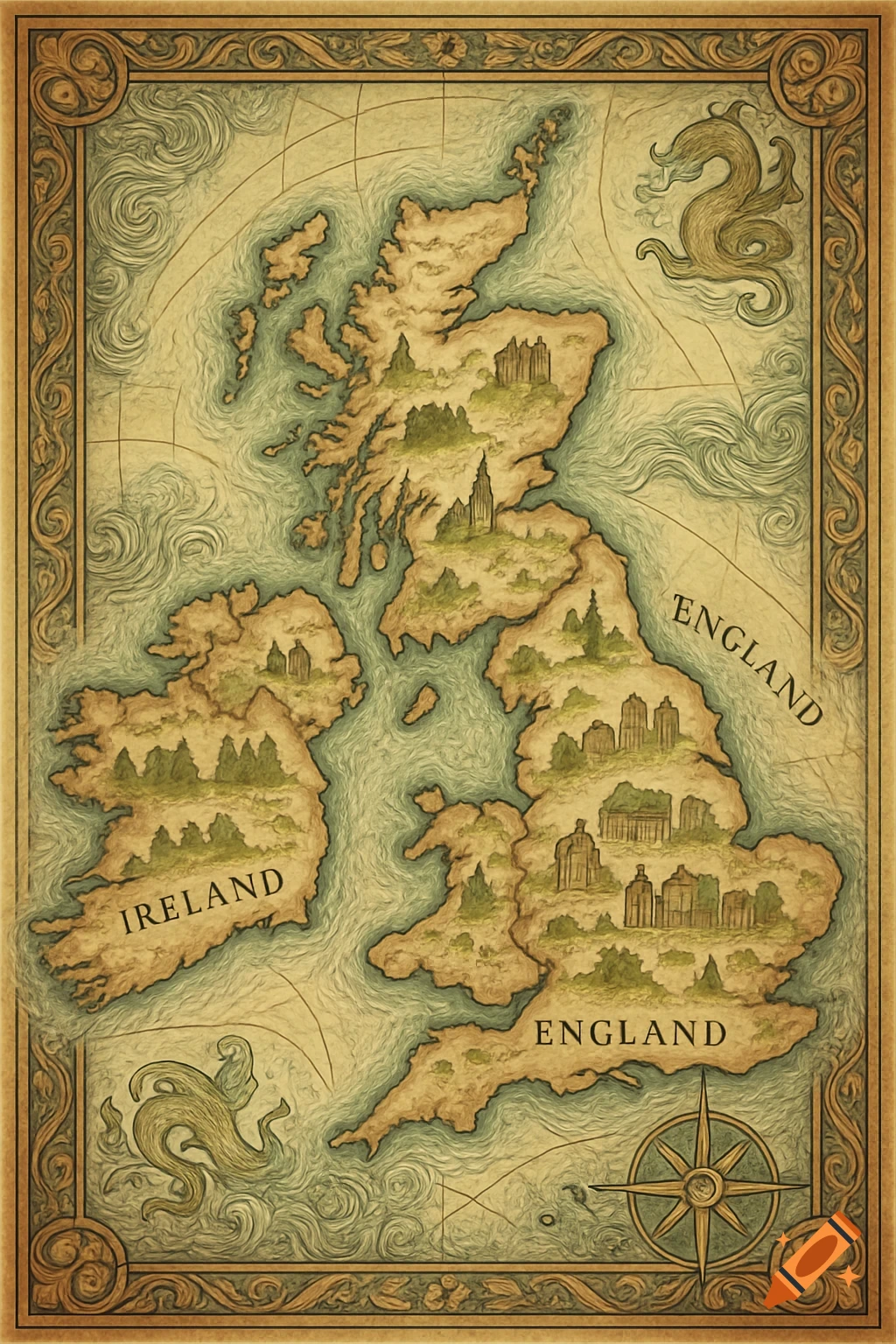
A vintage-style map shows the RMS Mauretania's transatlantic route from Liverpool to New York across the North Atlantic.

Draw a map of RMS Mauretania’s typical transatlantic route (Liverpool ↔ New York) and key stops. Route overview (assumption: Cunard’s Liverpool–New York express route, 1907–1930s): Start point: Liverpool (England), at the Mersey estuary. Exit the Irish Sea south of the Isle of Man. Cross the North Atlantic on a great-circle-ish track roughly WNW from Liverpool toward southern Newfoundland / off the Grand Banks. Typical waypoint near: Fastnet Rock (southwest of Ireland) — useful coastal reference. Mid-Atlantic: pass south of the Azores longitude; mark an approximate mid-ocean turning point around 46°–48°N, 40°–45°W. Approach North America: pass south of Newfoundland (Grand Banks) and then follow a southward curve toward the entrance to New York Harbor. Final approach: enter the Narrows between Staten Island and Brooklyn, proceed up to piers along Manhattan/Brooklyn (Chelsea/West 39th Street piers historically). Key map elements to draw: Base map: show western Europe (UK, Ireland), the North Atlantic, eastern Canada (Newfoundland) and northeastern US (New York). Ports: Liverpool (label) New York (label — show Hudson River and piers) Optional intermediate/emergency stops historically used: Queenstown (Cobh), Ireland — mark as optional call. Navigation references: Fastnet Rock (off southern Ireland) Grand Banks / Newfoundland area (label) Approximate mid-Atlantic waypoint (mark a dot ~45°N, 42°W) Route styling: Draw a solid curved line from Liverpool heading WSW across the Irish Mehr sehen
More images like this